





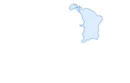

Randen route (without Hagenturm)
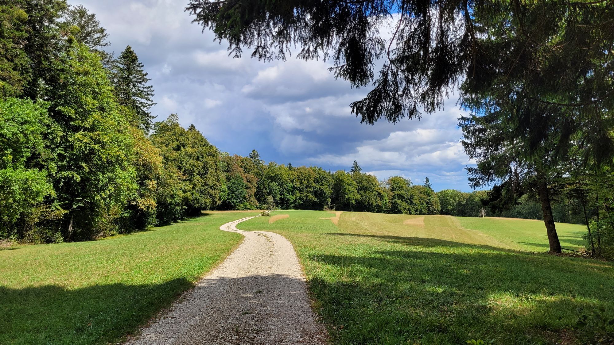
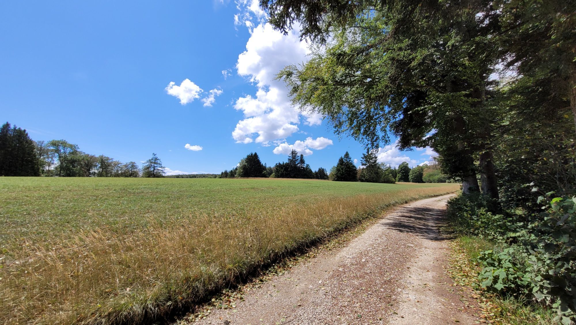
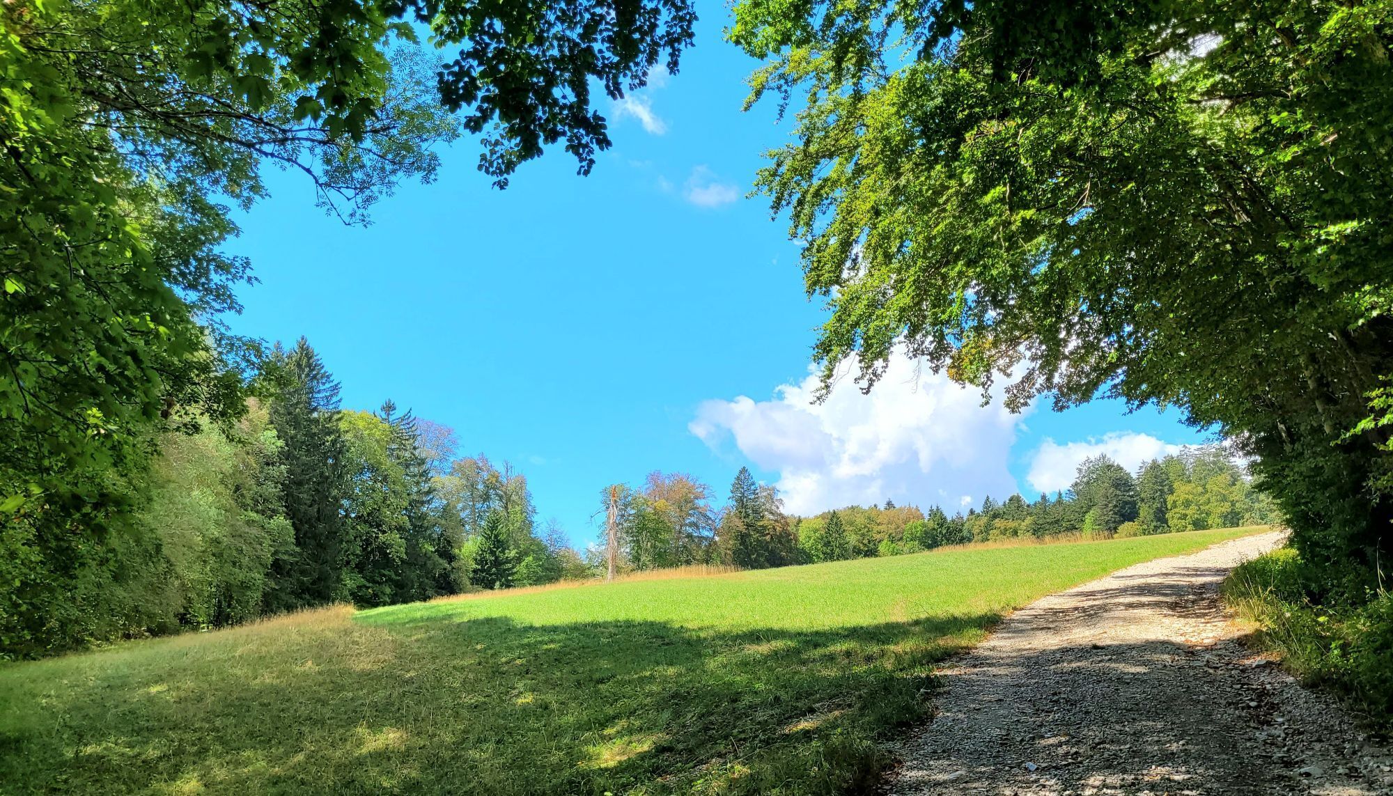
The Randen, an offshoot of the Jura mountain range, is a popular hiking and biking paradise.
The bike route takes you over well-maintained bike paths from Schaffhausen into the Reiat and from there up...
The Randen, an offshoot of the Jura mountain range, is a popular hiking and biking paradise.
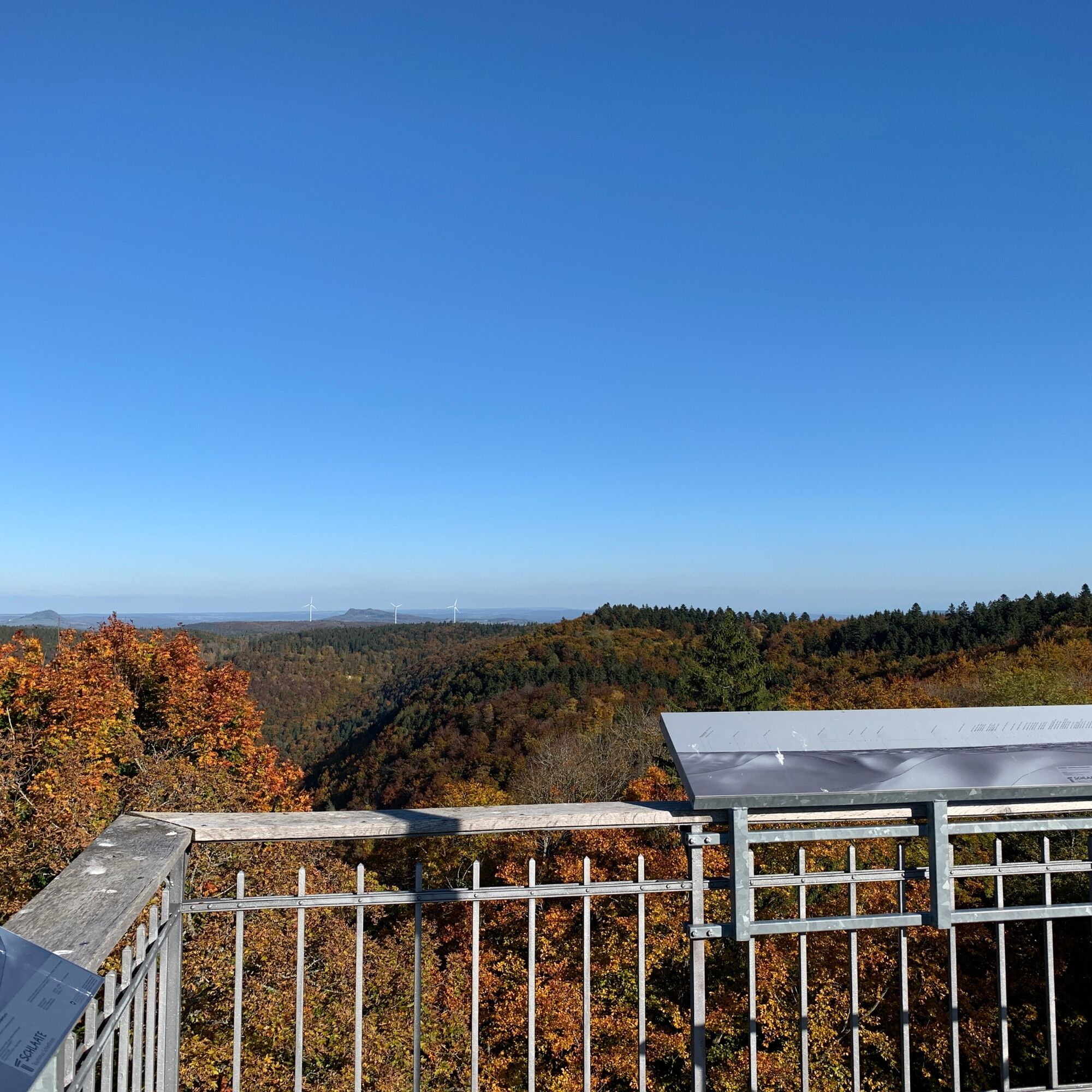
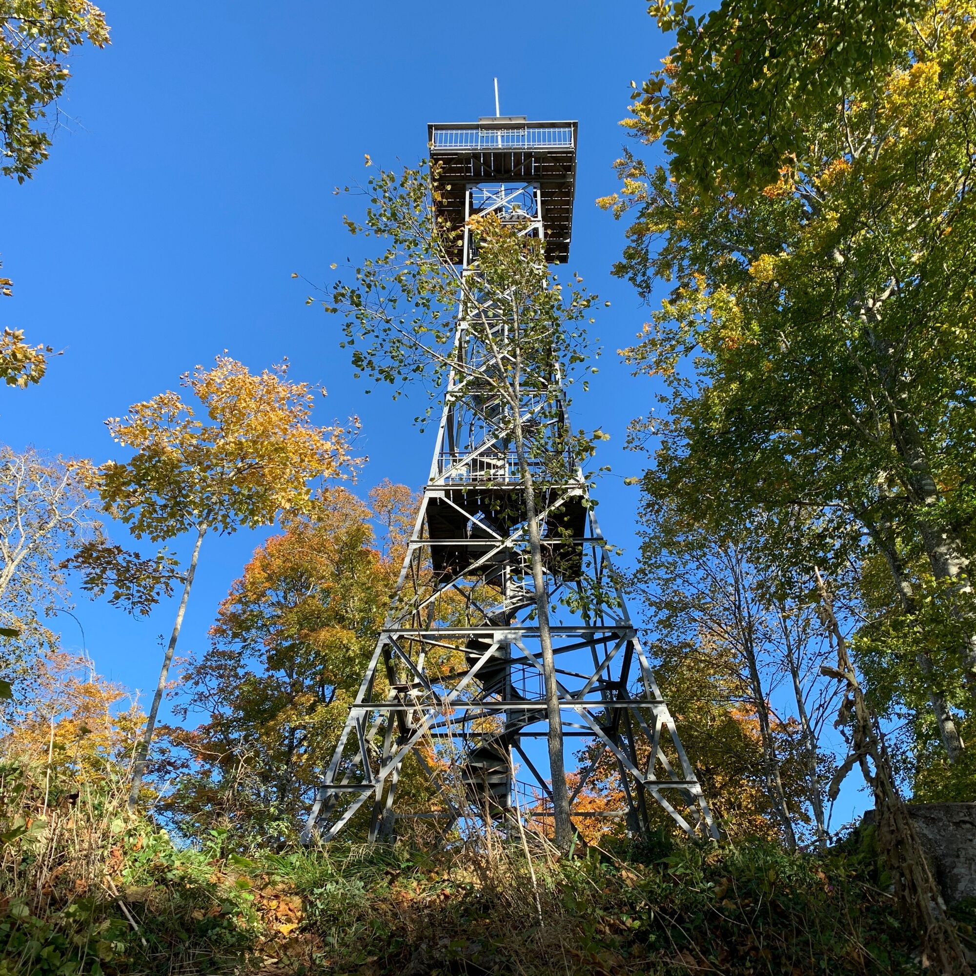
The bike route takes you over well-maintained bike paths from Schaffhausen into the Reiat and from there up into the forests of the Randen. The climbs sometimes require good fitness – but are then rewarded with fast downhill rides. The flora and fauna of the region impress with a diversity that makes your heart as a nature lover beat faster. The highlight of the route is the Schleitheimer Randenturm, which marks the highest point in the Regional Nature Park Schaffhausen.
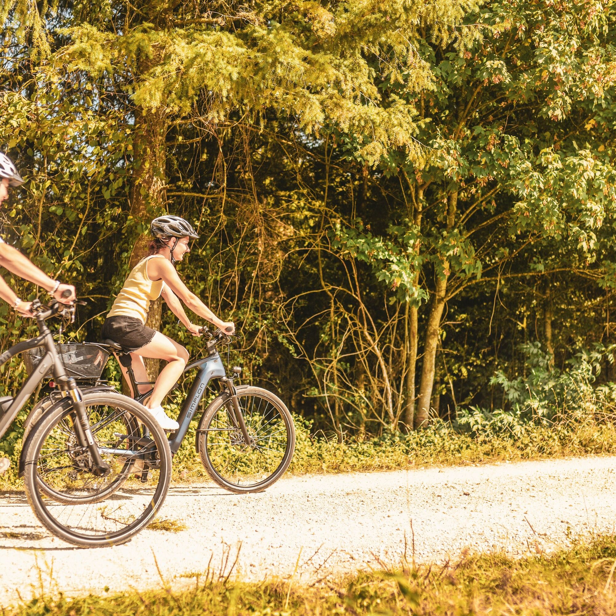
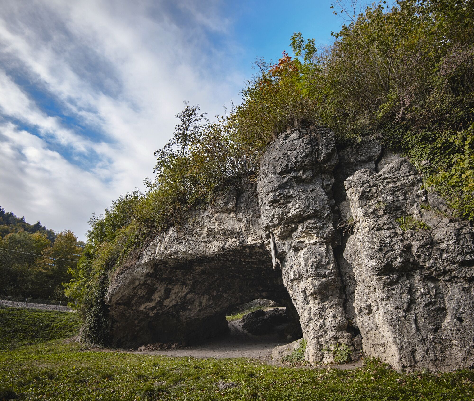
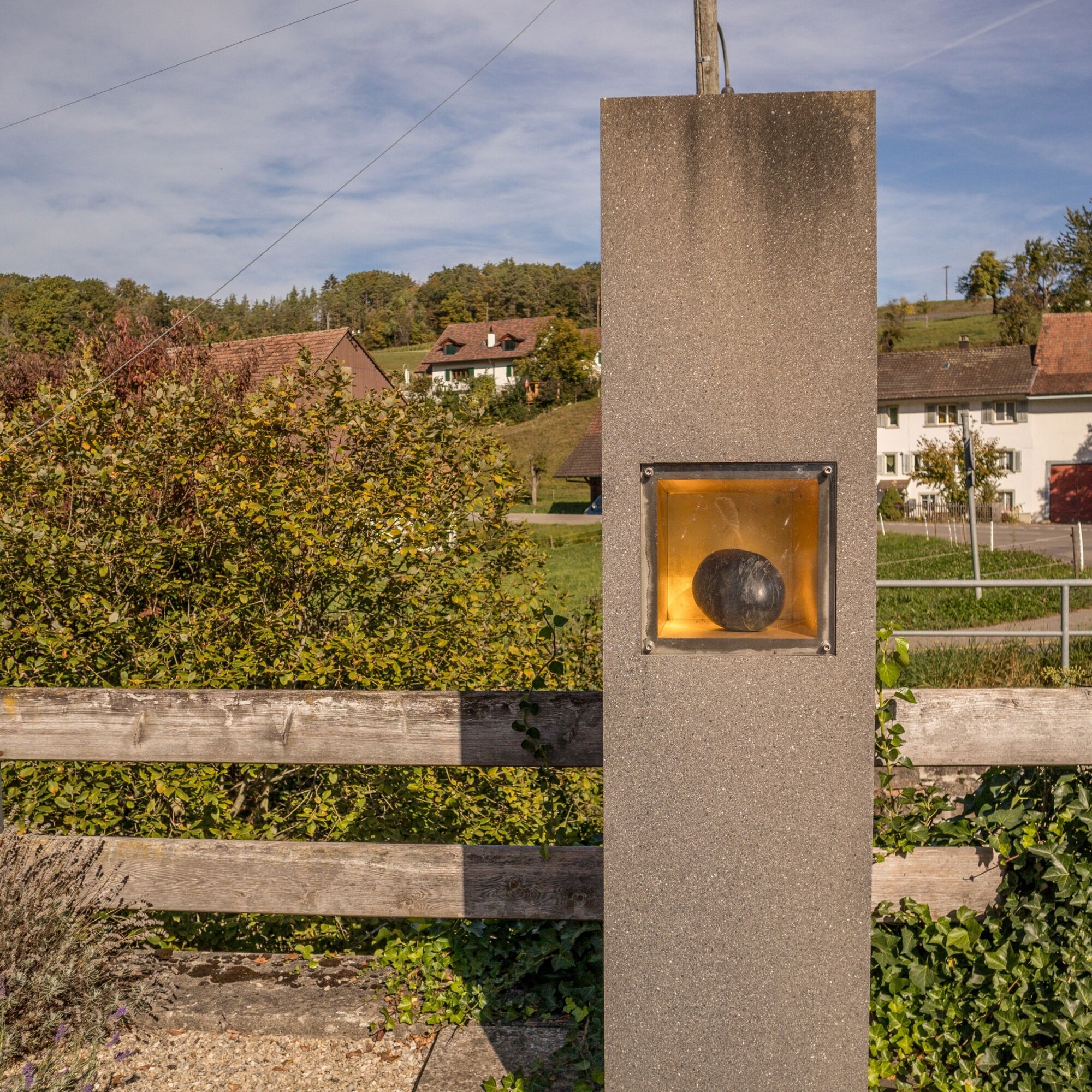

From Schaffhausen train station, you ride along Hochstrasse to Herblingen and follow the bike path to Thayngen. You reach the Kesslerloch. It is one of the most significant Late Ice Age sites in Europe. Excavations were carried out until 1980, uncovering even mammoth and reindeer bones.
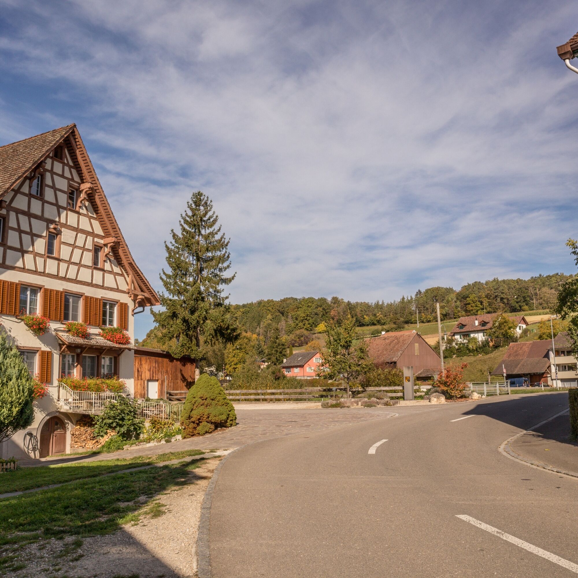
Next, you continue along the Biber. It is the largest Rhine tributary between Stein am Rhein and Schaffhausen. Your ride takes you through the small villages of Bibern and Hofen. If you need a cooling off, the Reiatbadi awaits you in Hofen – small but fine.
Arriving in Altdorf, a small sip of a good drop from the northernmost vineyard in Switzerland is worthwhile. Then you continue toward Merishausen, where a longer climb past the Buechberghaus toward the Schleitheimer Randenturm awaits you. Over the Zelgli, you reach Hemmental, from there you go through the Hauental back to Schaffhausen train station.
Bike helmet, suitable clothing, drinks and snacks for in between.
You ride on bike paths, gravel roads and streets – a bike helmet is therefore recommended.
Starting point: Schaffhausen train station
Route planner
Starting point: Schaffhausen train station
Various parking garages near the train station.
Kesslerloch, Thayngen
Reiatbadi, Hofen
Schleitheimer Randenturm
Old Town, Schaffhausen
Kamery internetowe z trasy
Uzyskaj wgląd
Zawsze na żywo z ponad 9 500 kamer internetowych. bergfex Jako użytkownik Pro, możesz teraz zobaczyć odpowiednie kamery internetowe dla wielu wycieczek w aplikacji wycieczki od. Pozwala to na bezpośredni podgląd aktualnych warunków.
Popularne wycieczki w okolicy
-
4,7
Small Rheinfall Circular Route
światłoWędrówka 3,48 km -
4,8
"Hegauer Kegelspiel" Alter Postweg
średniWędrówka 9,26 km -
4,8
Rundwanderweg Rheinau
światłoWędrówka 6,85 km -
Circular hike Schaffhausen - Rhine Falls - Schaffhausen
średniWędrówka 10,0 km -
3,3
"Hegauer Kegelspiel" Wannenberg hike
średniWędrówka 9,35 km -
5,0
"Hegauer Kegelspiel" Stettener Panoramaweg
średniWędrówka 7,62 km -
5,0
Circular hike over the Hinterranden
średniWędrówka 11,0 km -
SwitzerlandMobility 896: Rhine Falls Circular Route
średniWędrówka 7,39 km -
4,5
Nature trail Merishausen: Brown route
średniTrasa tematyczna 11,4 km -
4,5
SchweizMobil 593: Nordspitze Panoramaweg
średniWędrówka 13,7 km
Wędrówki i tropienie


Nie przegap ofert i inspiracji na następne wakacje
Twój adres e-mail została dodana do listy mailingowej.





