


SwitzerlandMobility 86: Rhine Falls–Zurich Oberland Stage 1
Poziom trudności: 3
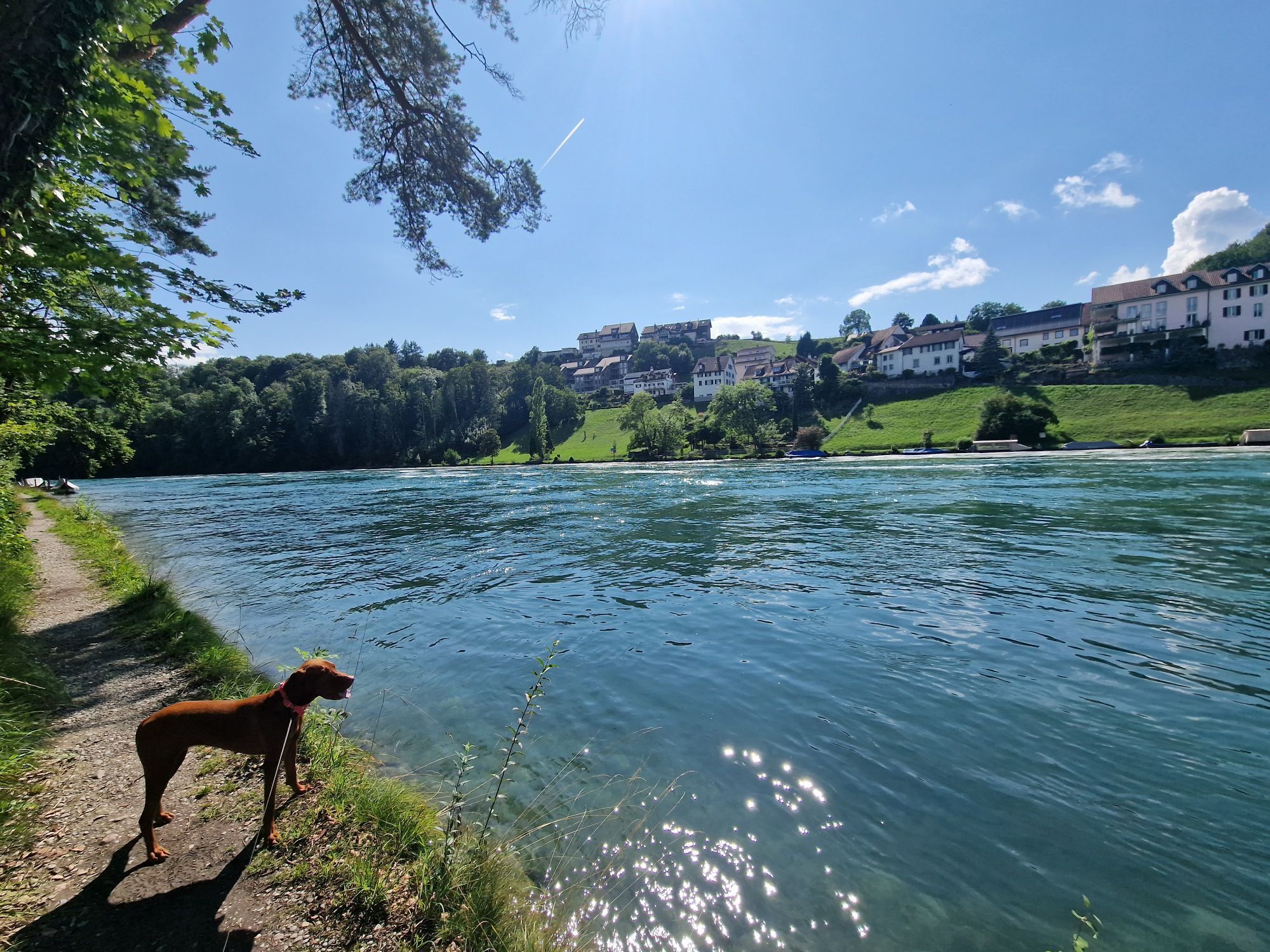
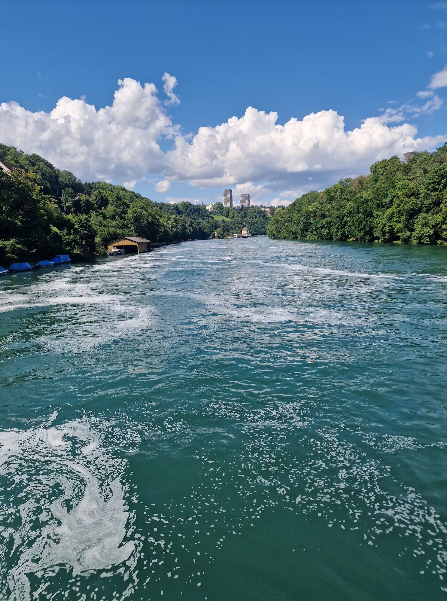
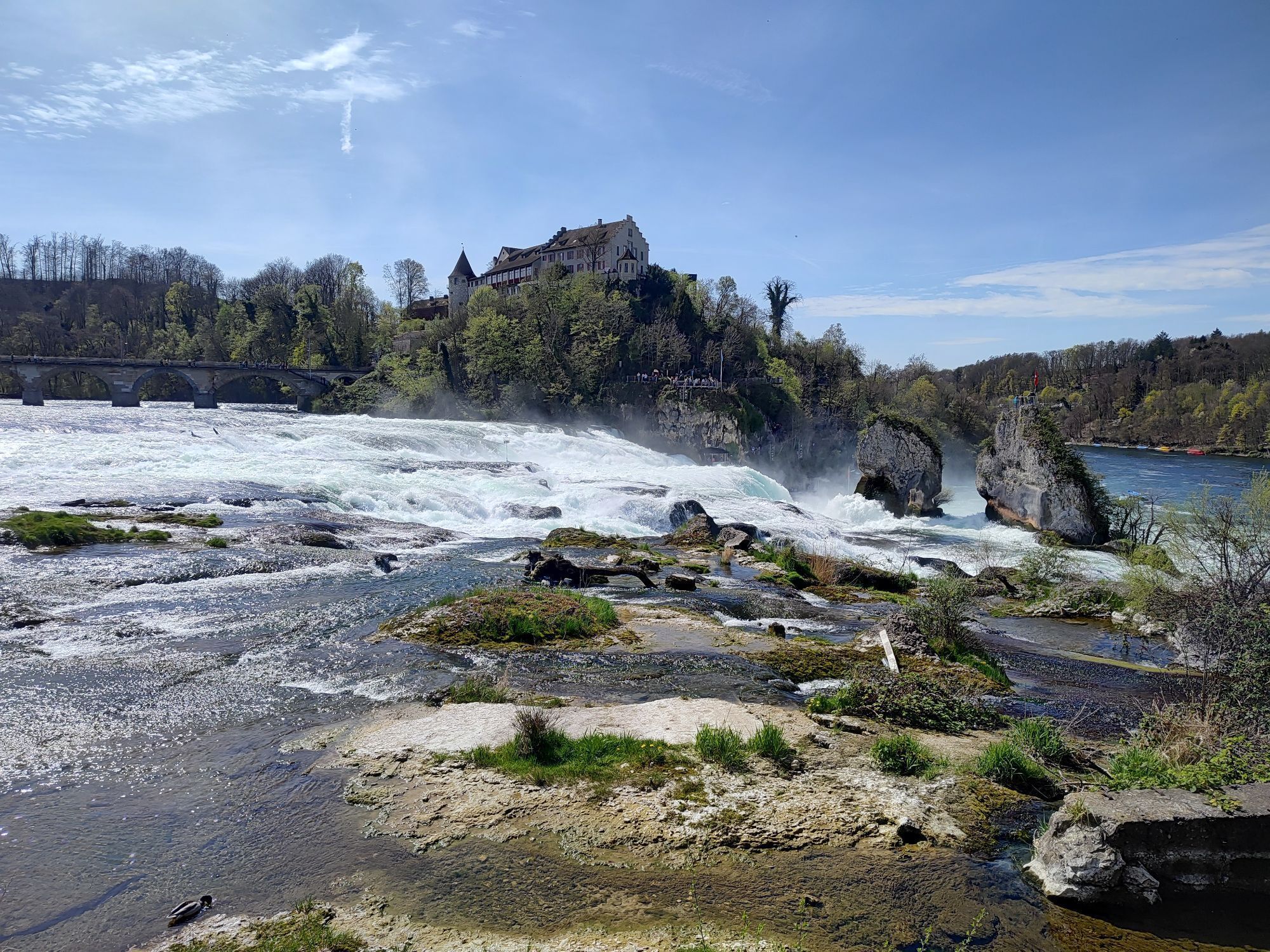
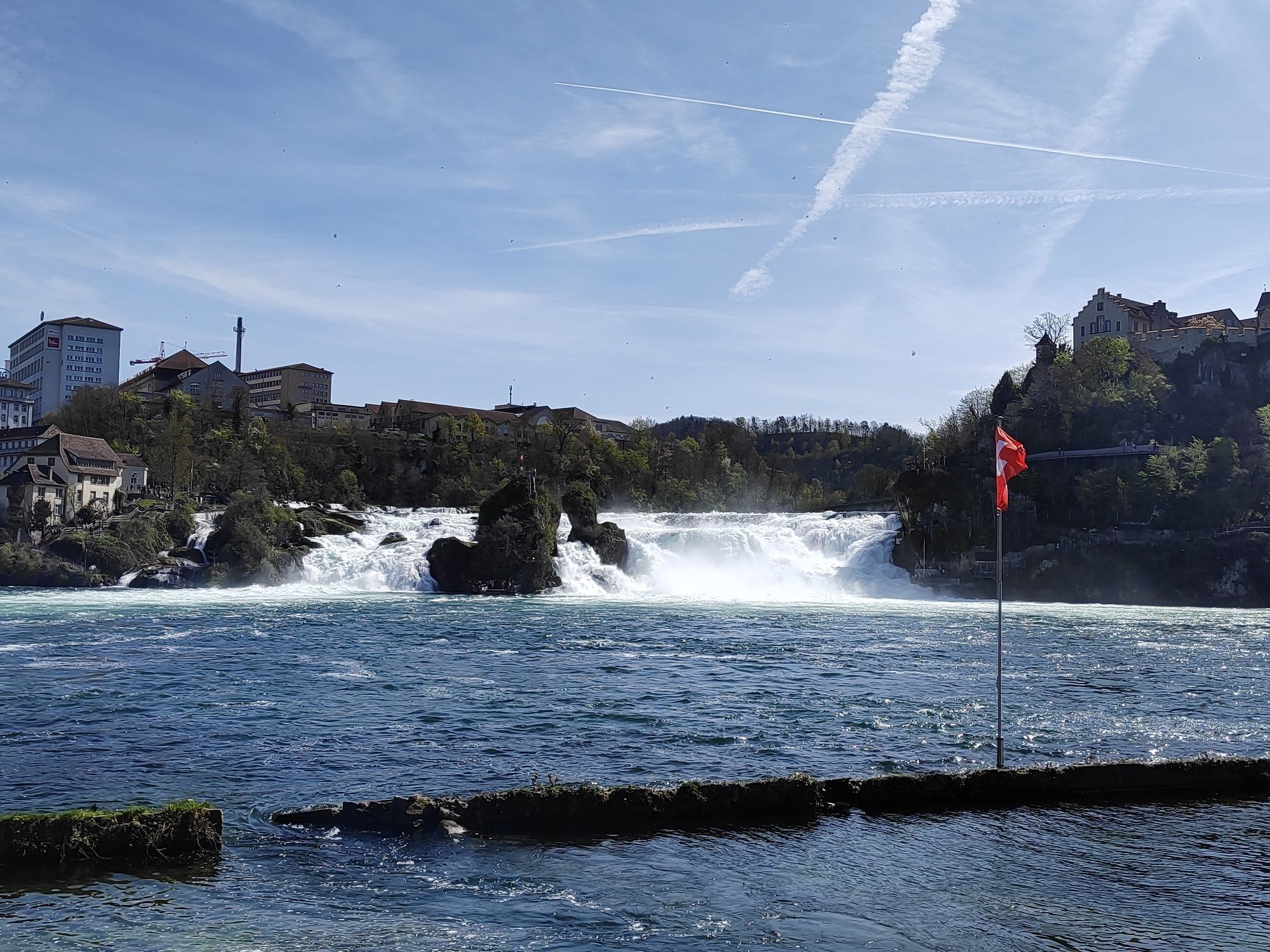
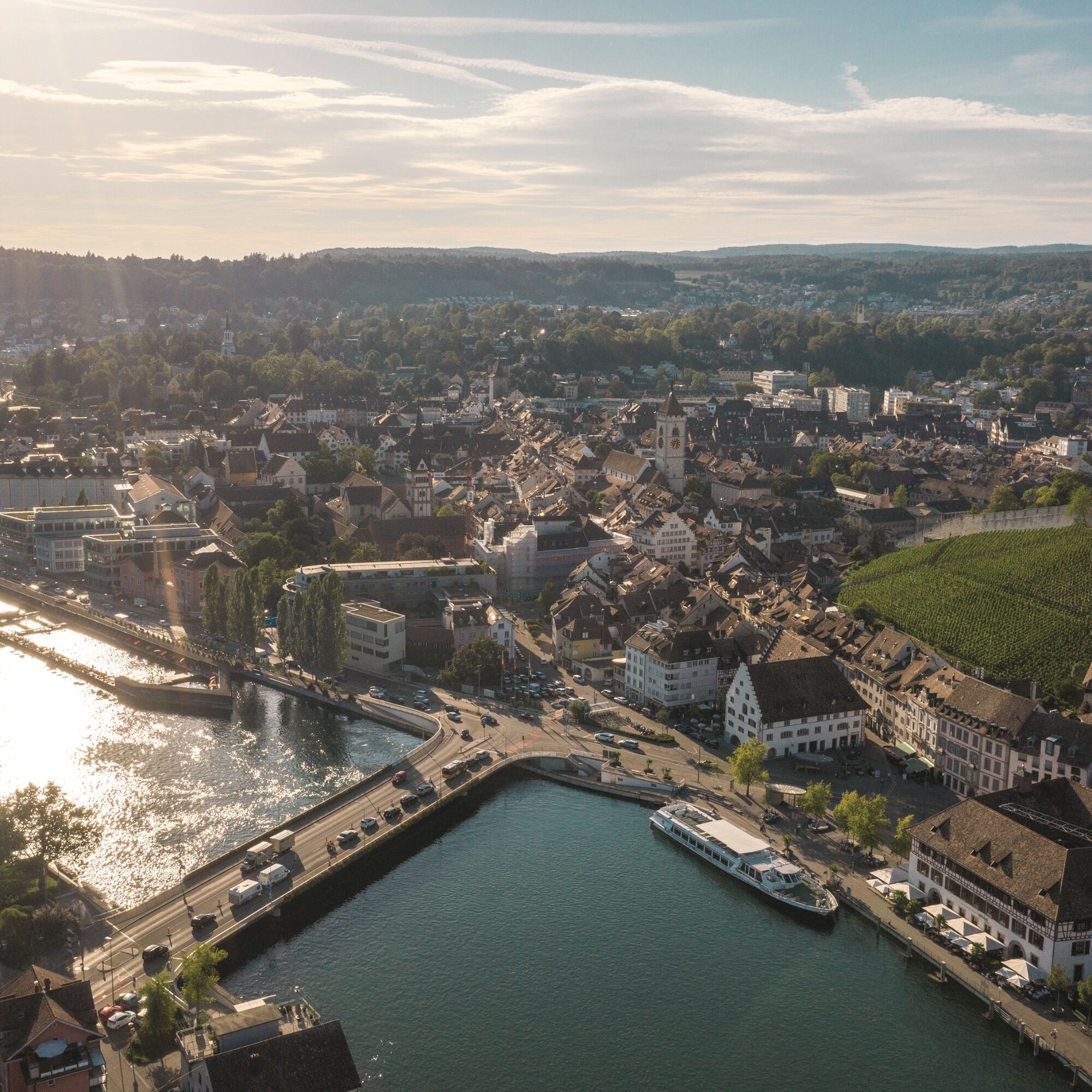
The largest waterfall in Europe, the Rhine Falls, is a misty natural spectacle. Spectacle and tourist bustle are followed by expanses, small vineyards on south-facing slopes, and the Thur with the flower-adorned...
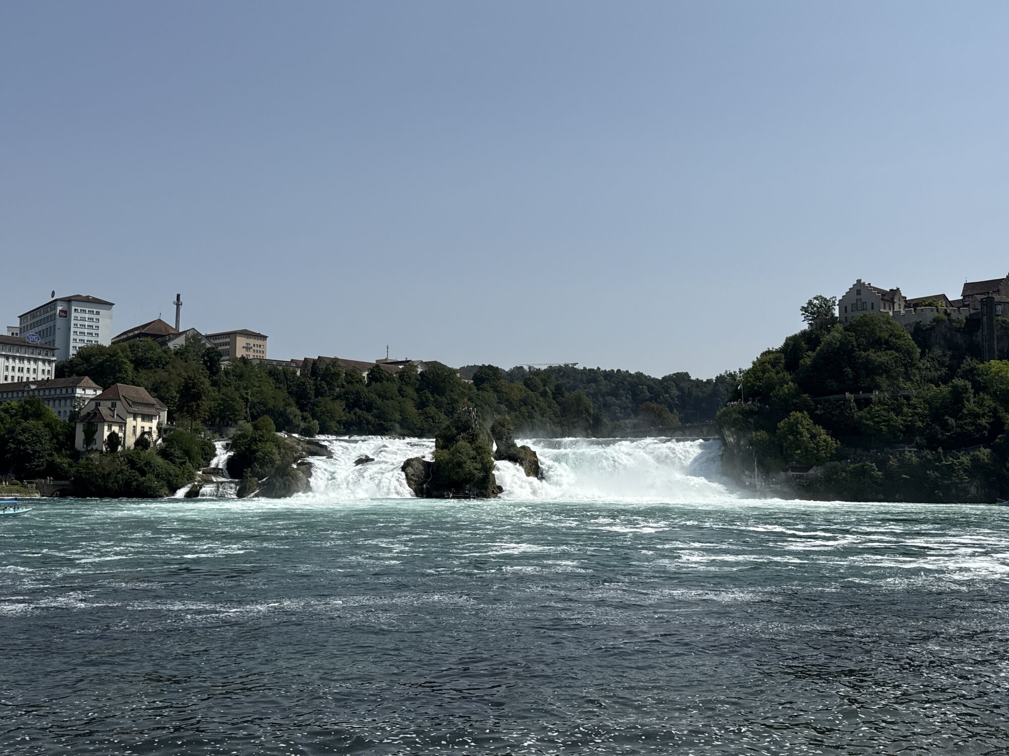
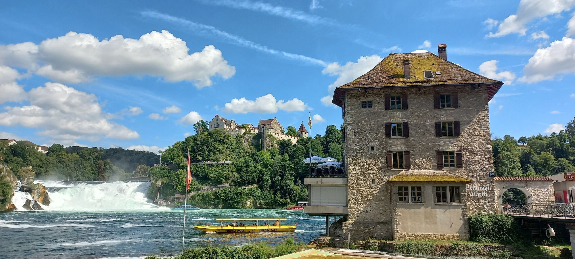
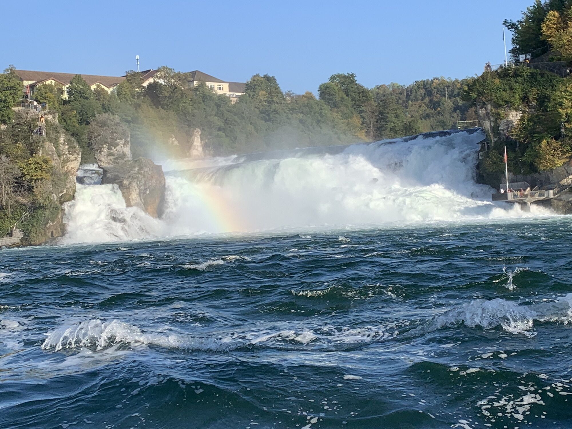
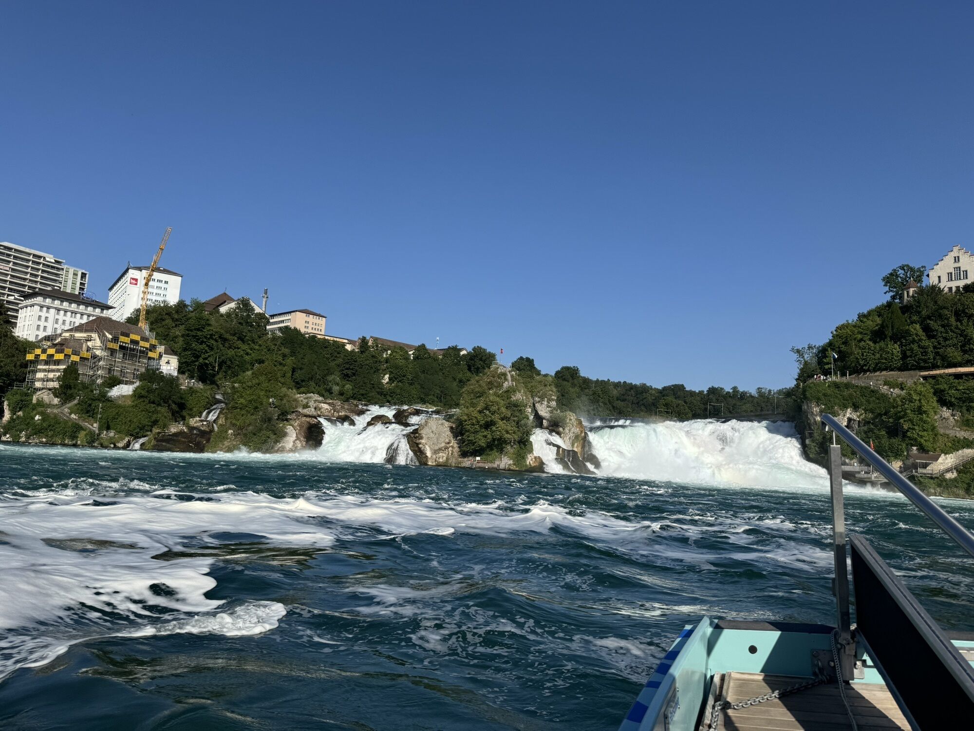
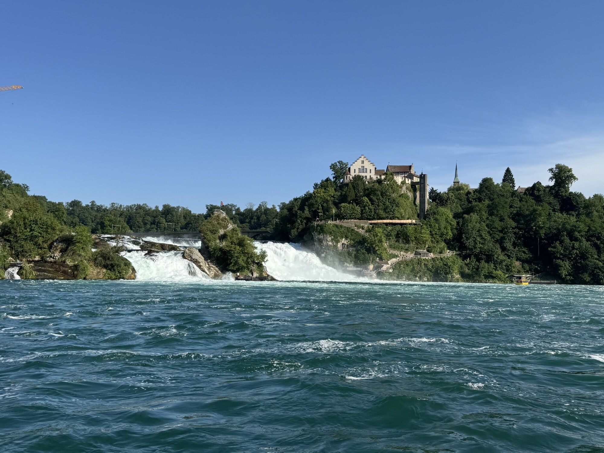
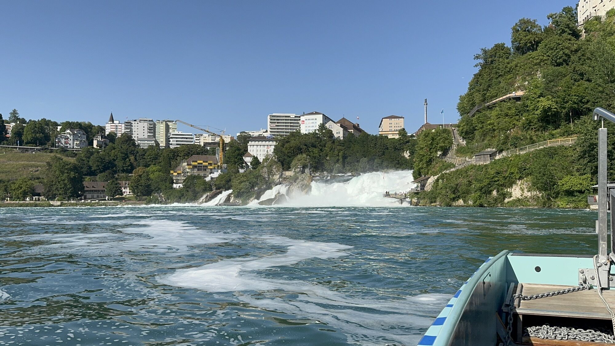
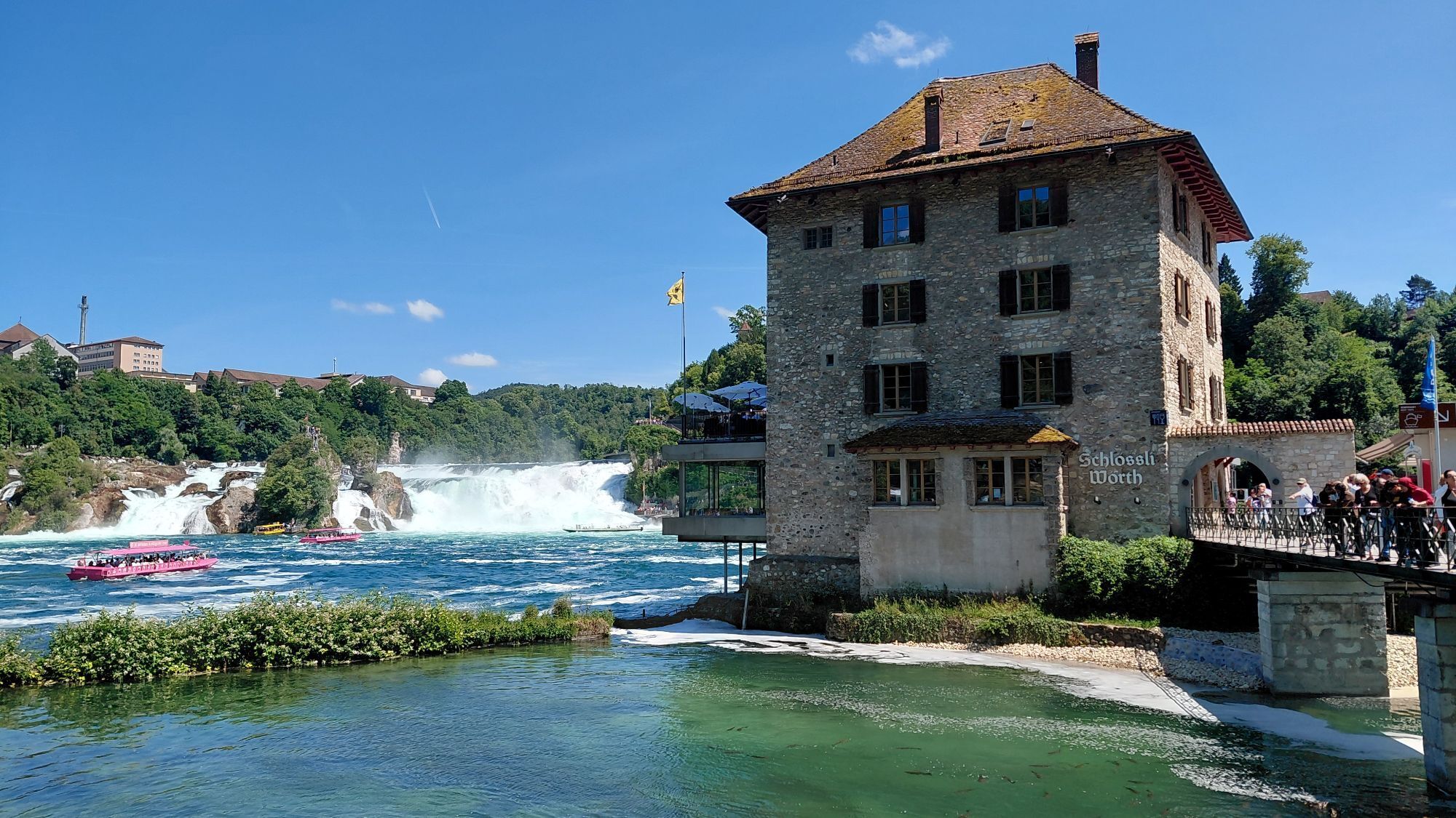
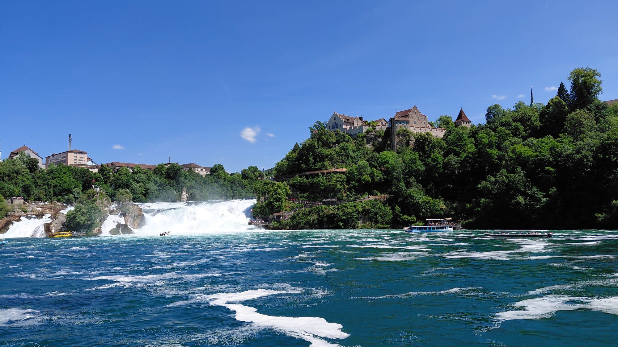
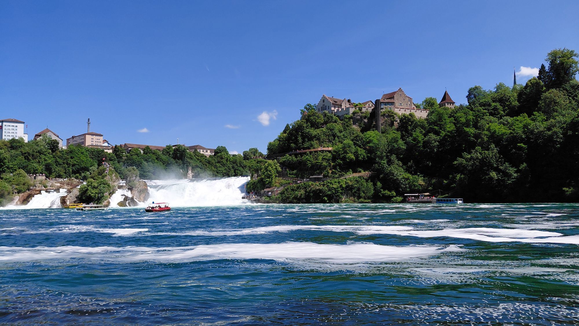
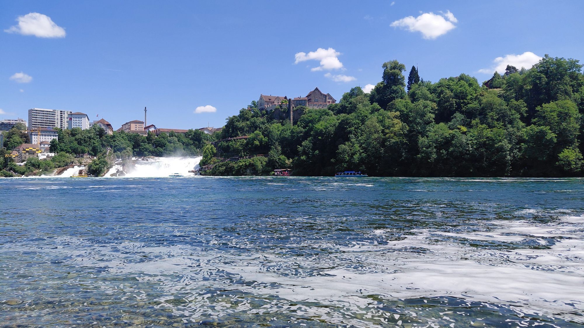
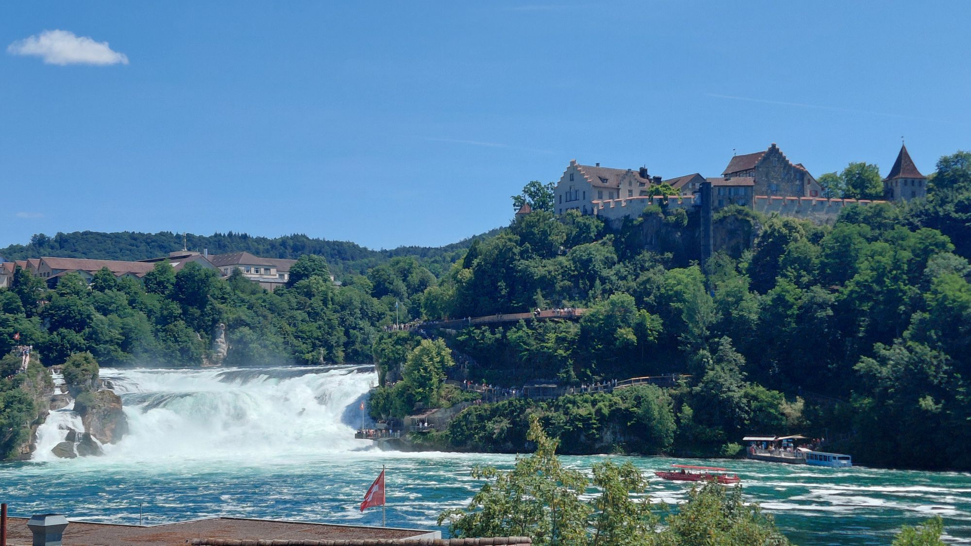
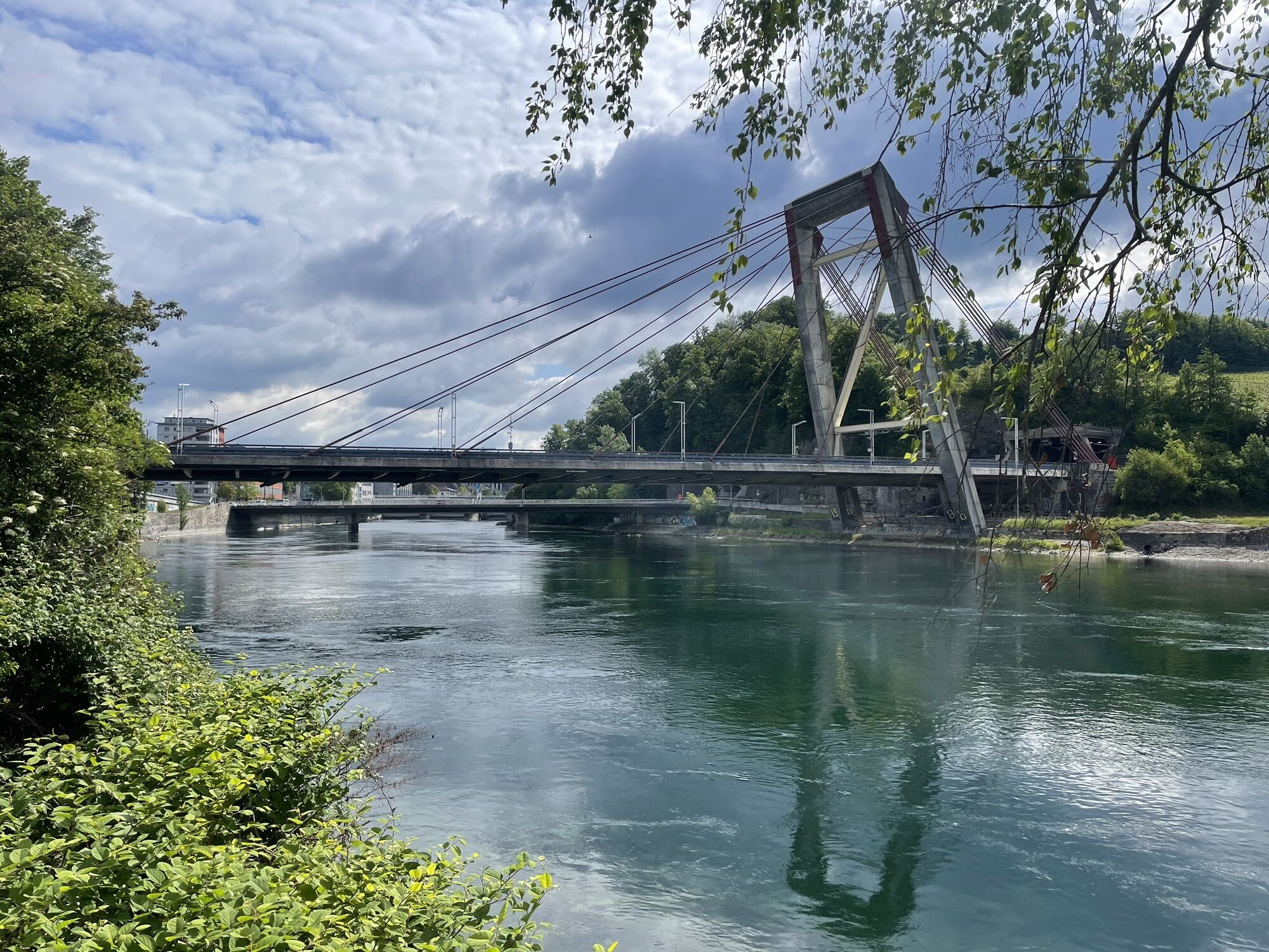
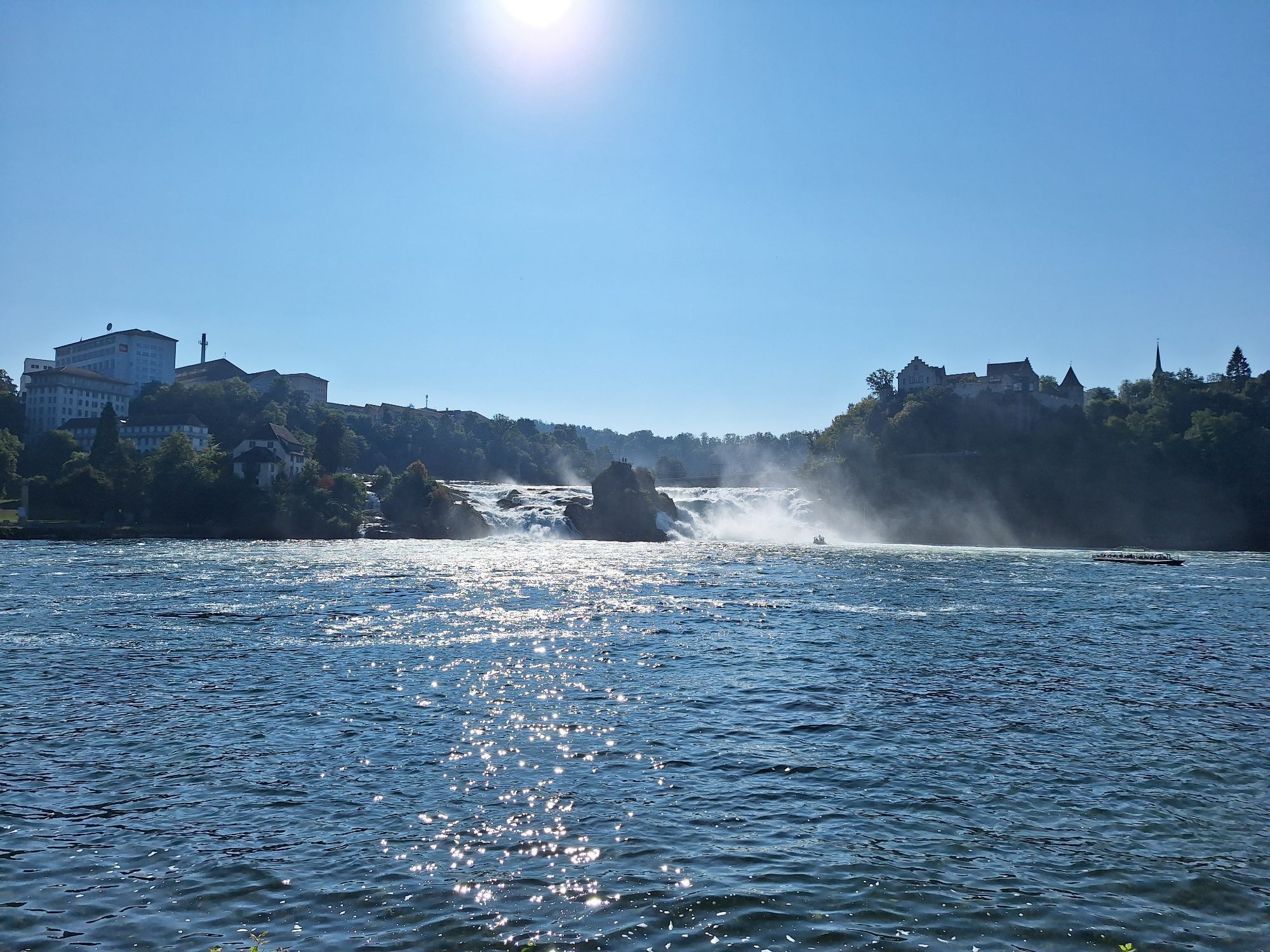
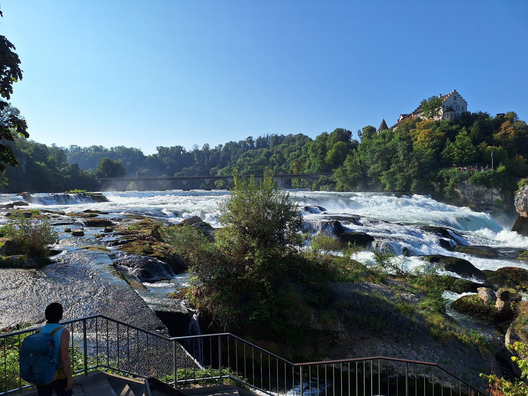
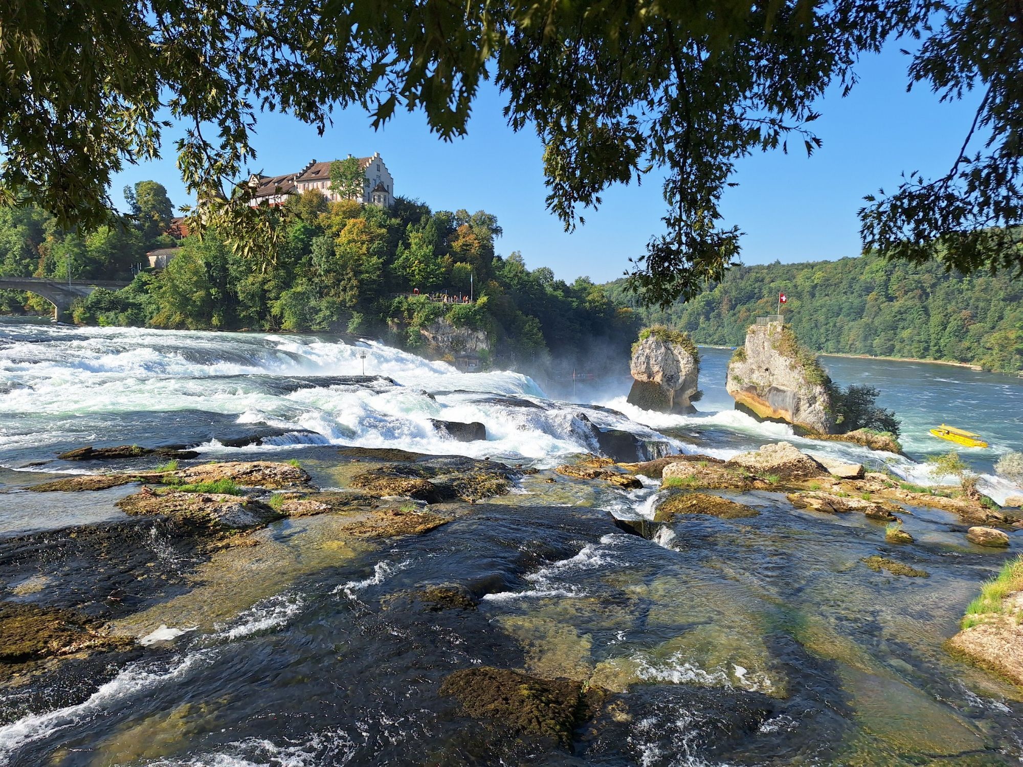
The largest waterfall in Europe, the Rhine Falls, is a misty natural spectacle. Spectacle and tourist bustle are followed by expanses, small vineyards on south-facing slopes, and the Thur with the flower-adorned beam houses of Andelfingen. The motorway construction made it possible: a fast road turned into a long, idyllic bike path through forest and fields. The S-Bahn accompanies the route.
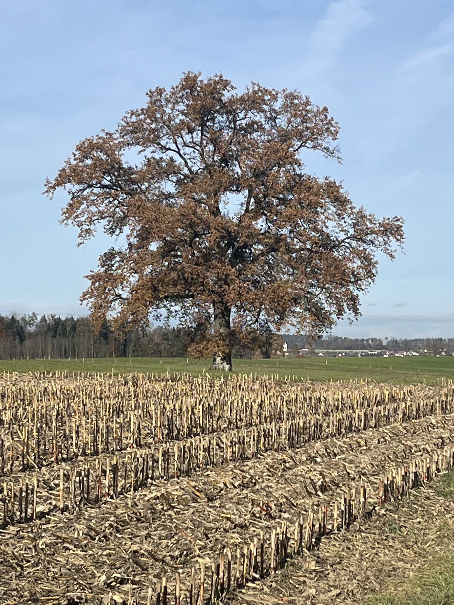
After entering a well-preserved village quarter, Winterthur - Zurich’s contender - displays its charm as a creative bike city. The Töss winds deeply cut into the land. Over the Weisslingen heights, it leads to the flat valley at Pfäffikon. A gem on the edge of the industrialized Zurich hinterland is the Pfäffikersee: surprisingly undeveloped, wide reed meadows and peatlands with fever clover and cotton grass characterize the landscape alongside the silent water surface, providing a perfect habitat for a rich birdlife.
© Stiftung SchweizMobil
From the Schifflände Schaffhausen, the signage of SwitzerlandMobility Route 86 first leads you to the Rhine Falls. Then follow the signposting No. 86 to Pfäffikon ZH.
Bike helmet and provisions for the journey.
By car to Schaffhausen.
By train to Schaffhausen.
Various parking lots and garages are available near the station.
3
You can find the complete route on SwitzerlandMobility.
Further inspirations and routes in the Schaffhausen region can be found here.
Popularne wycieczki w okolicy
- 3,0
Sennhof (Töss) - Kyburg - Weisslingen Rundwanderung
średniWędrówka 13,0 km - 4,8
Flaach - Ellikon - Flaach
Wędrówka 12,0 km - 4,8
Rundwanderweg Rheinau
światłoWędrówka 6,85 km - 3,0
Frauenfeld Islikon
średniBieganie 6,98 km - 4,0
Around Rheinau
światłoWędrówka 4,90 km - 5,0
Rund um den Husemersee
światłoWędrówka 12,5 km Eglisau - Buchberg - Eglisau
światłoWędrówka 5,99 km- 5,0
Nussbaumen - Hochwacht Rihnsberg
światłoWędrówka 11,9 km Husemersee Naturschutzgebiet
światłoWędrówka 5,82 km- 4,0
Eintracht - Underi Halde - Oberi Halde - Hüttwilen
światłoWędrówka 13,0 km
Wędrówki i tropienie


Nie przegap ofert i inspiracji na następne wakacje
Twój adres e-mail została dodana do listy mailingowej.