


Discovery tour of castle ruins and palaces
Poziom trudności: 3
Zdjęcia naszych użytkowników
-
 © Johanna ArpagausUtworzono dnia 24.03.2026
 -
 © Johanna ArpagausUtworzono dnia 24.03.2026
 -
 © Sandra KoelblUtworzono dnia 06.07.2025
 -
 © Sandra KoelblUtworzono dnia 06.07.2025
 -
 © Sandra KoelblUtworzono dnia 06.07.2025
 -
 © Sandra OrtizUtworzono dnia 05.07.2025
 -
 © Sabrina HackelUtworzono dnia 28.03.2025
 -
 © Werner SchlegelUtworzono dnia 04.04.2021


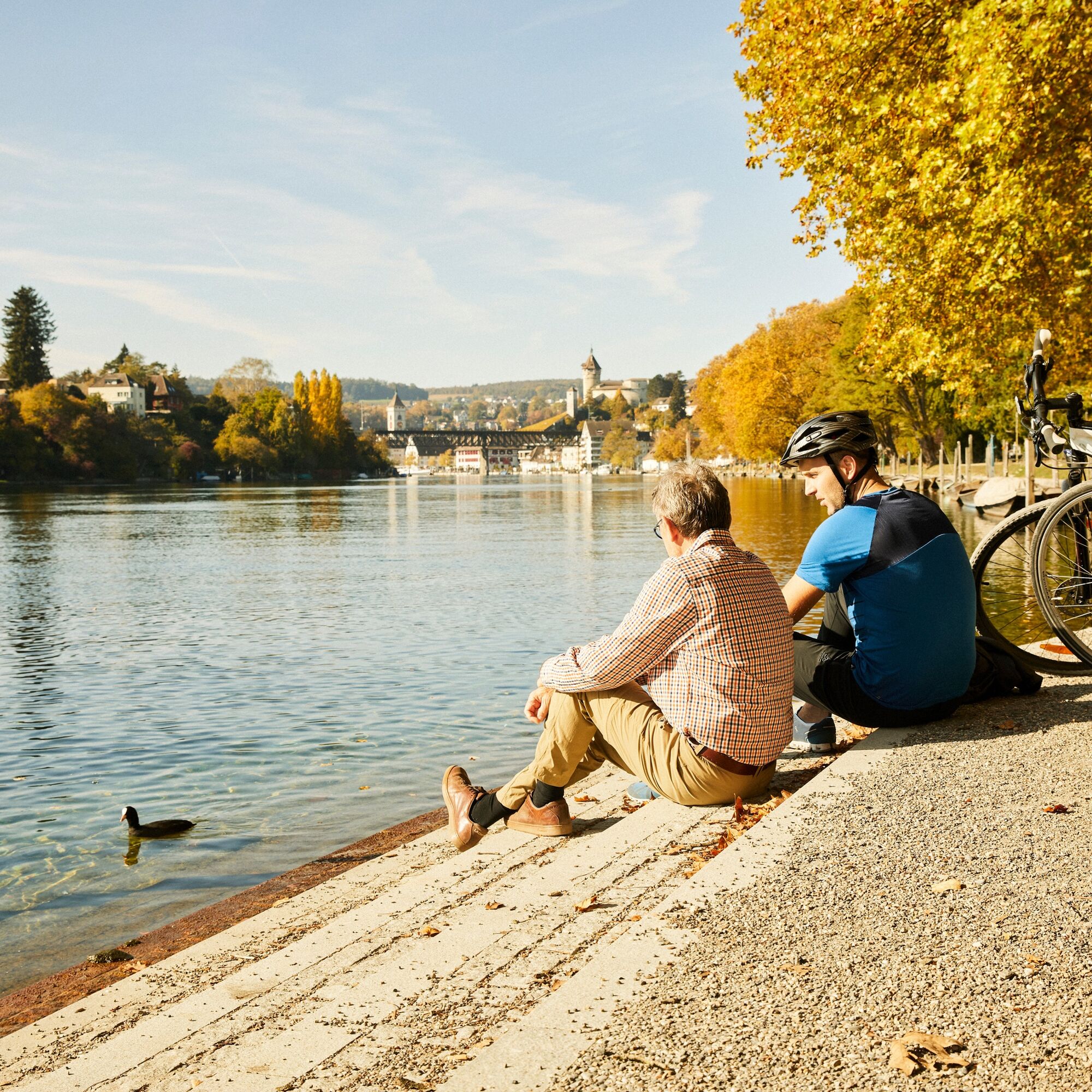
This cross-border route is demanding. Not only because of the length and distance, you should possibly divide the route into two stages. The cozy villages also invite you to stay overnight and relax. Additionally,...
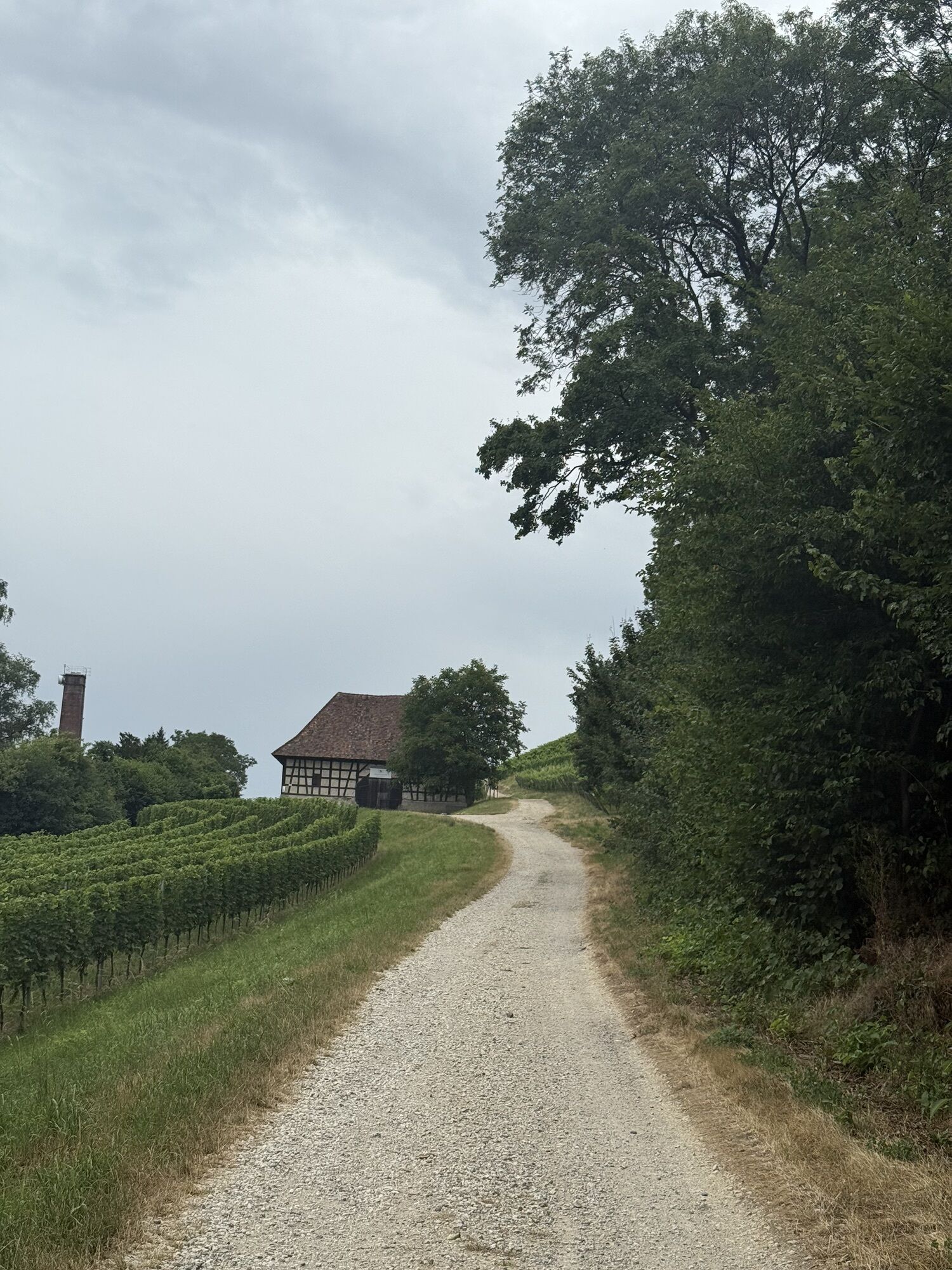
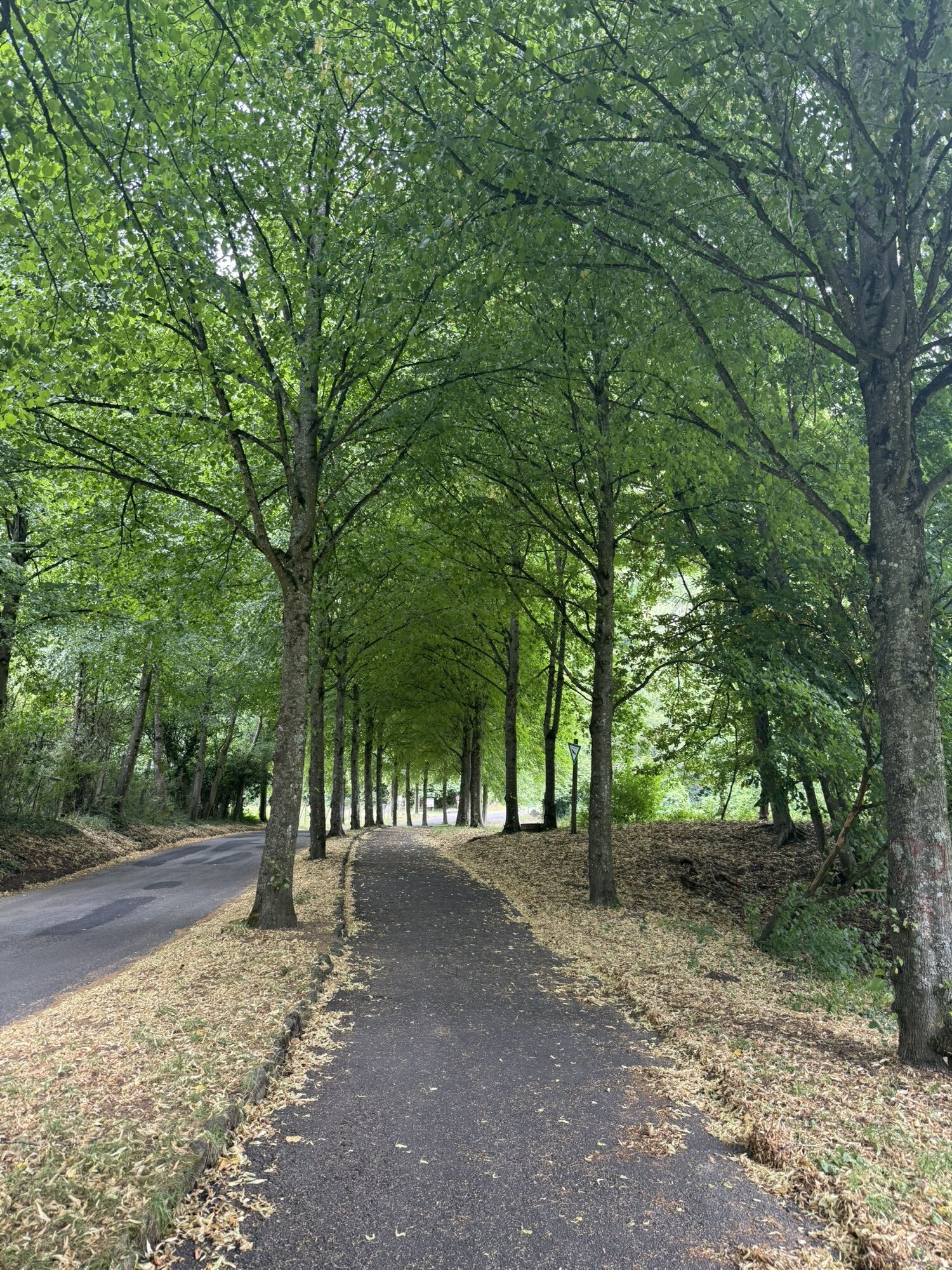
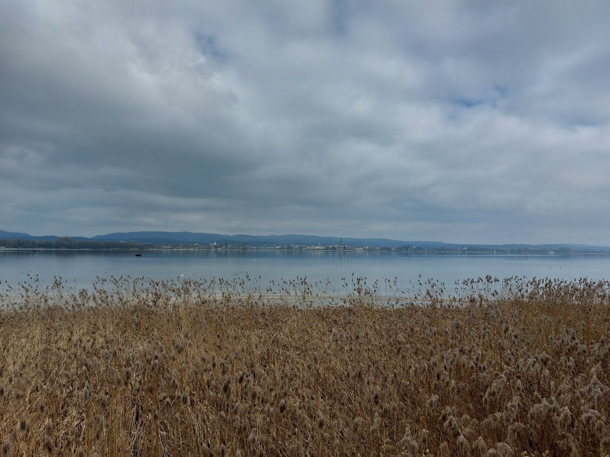
This cross-border route is demanding. Not only because of the length and distance, you should possibly divide the route into two stages. The cozy villages also invite you to stay overnight and relax. Additionally, you should allow enough time for the sightseeing of castles, fortresses, and ruins. The route follows the beautiful Rhine and Untersee along the picturesque Hegau region and then through the Reiat back to Schaffhausen. Enjoy a diverse and unique cycling route with many highlights.
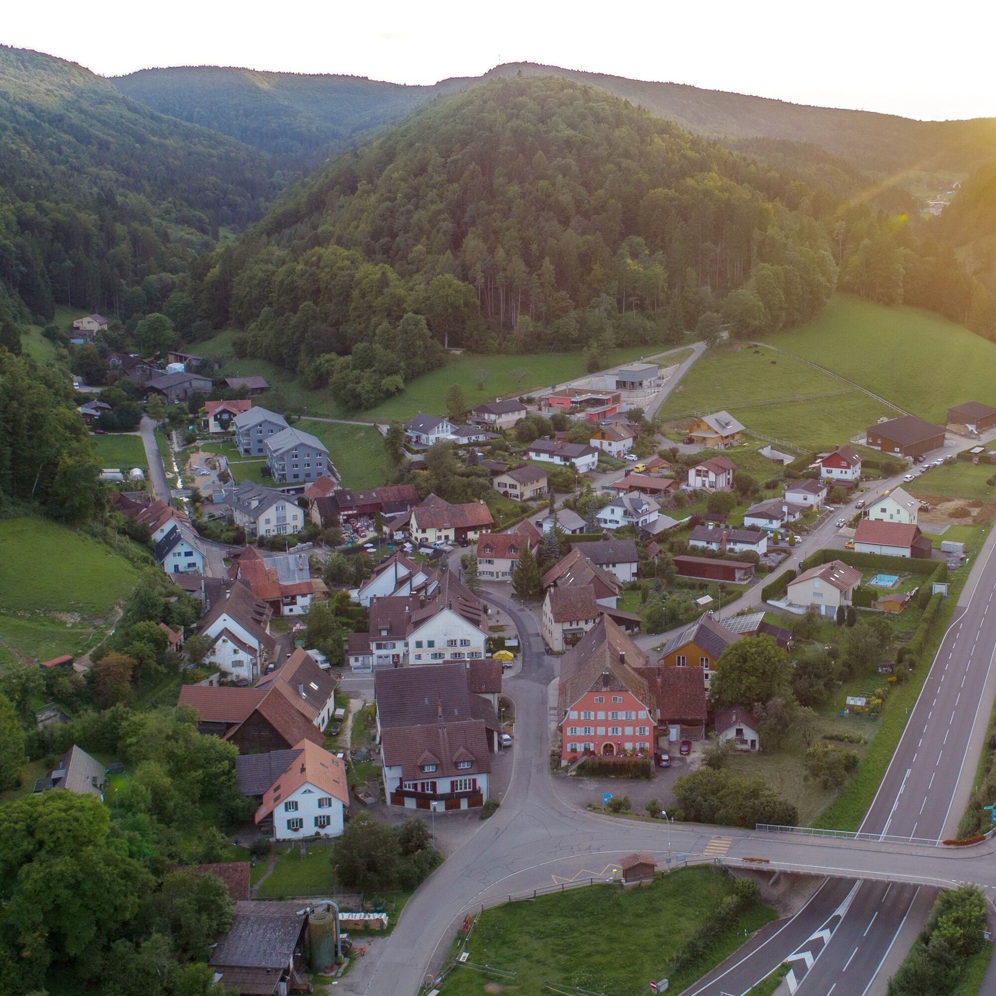
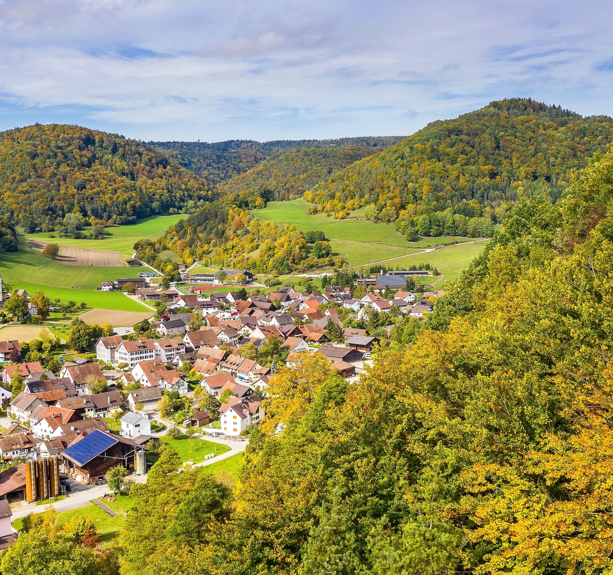
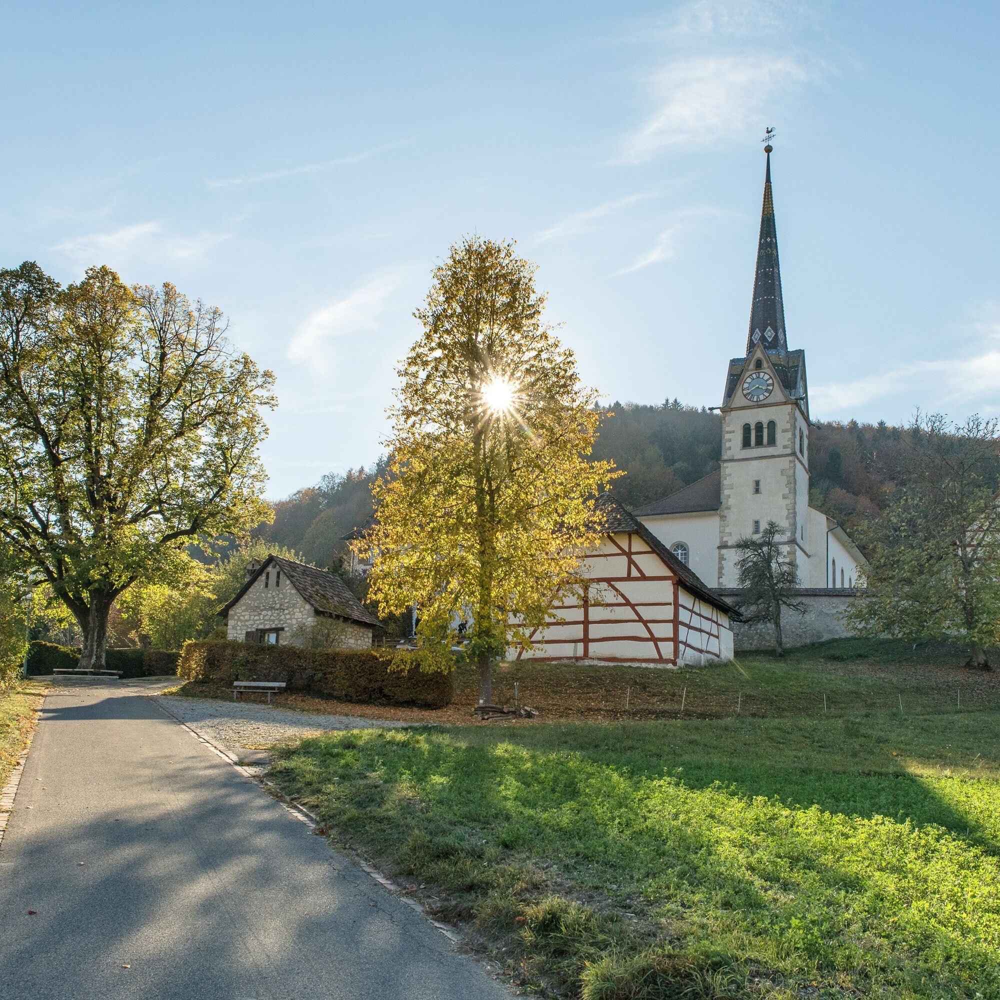
Schaffhausen - Diessenhofen - Stein am Rhein - Öhningen - Gaienhofen - Iznang - Bohlingen - Rielasingen - Singen - Hohentwiel - Hilzingen - Weiterdingen - Blumenfeld - Neuhaus - Bargen - Merishausen - Schaffhausen.
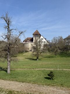
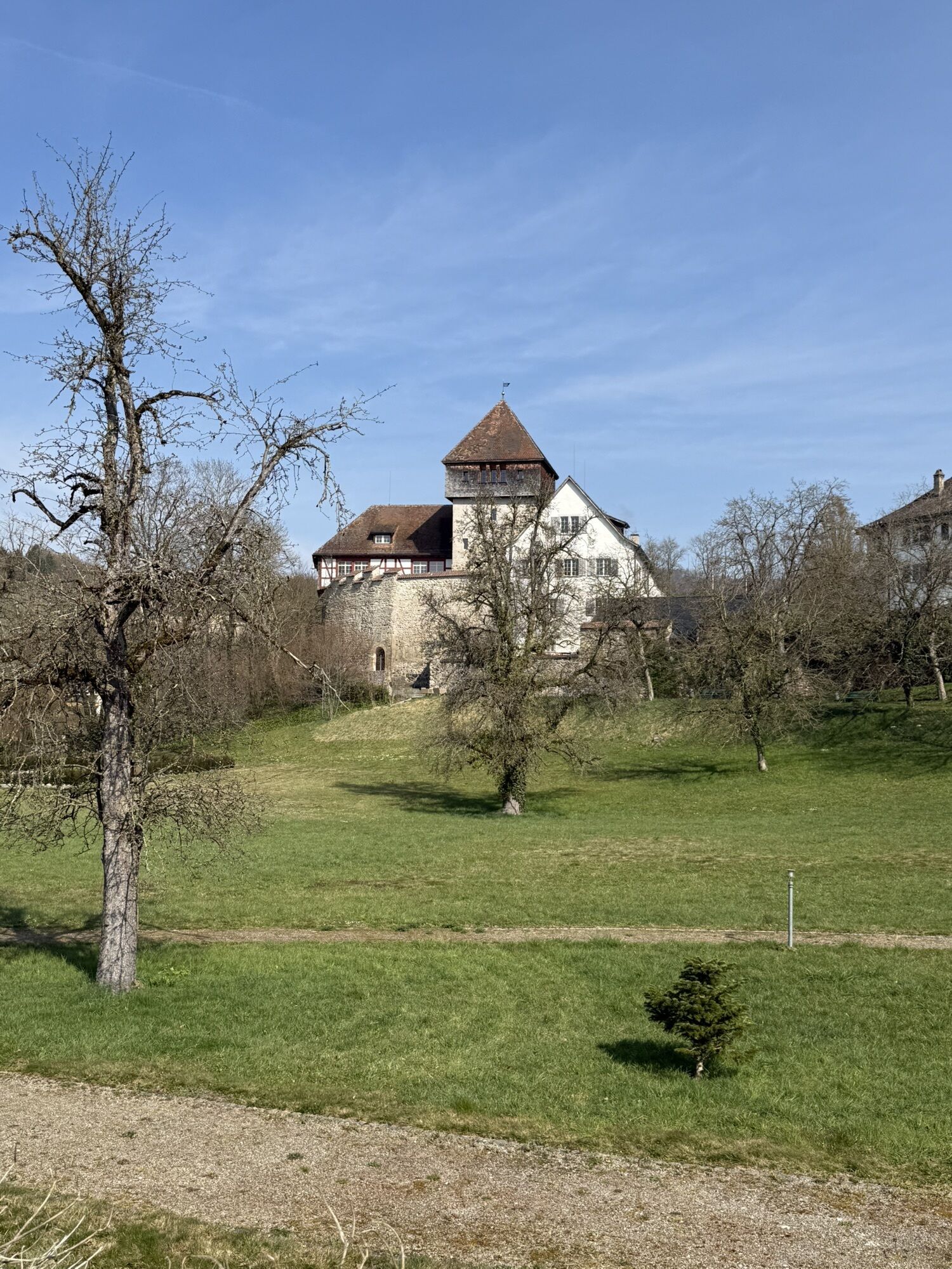
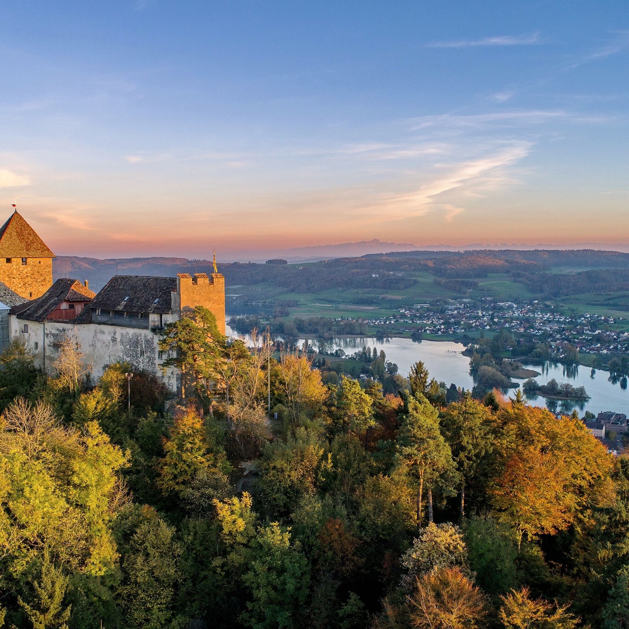
Hohenklingen: Approximately 200 m above Stein am Rhein lies the castle probably founded around 1100. After several changes of ownership, the castle had to be sold to the then Imperial city. Two years later, the city concluded a protective alliance with Zurich and Schaffhausen. Thus it became part of the Confederates. At that time it was an important military and firefighting watch post. A complete renovation took place from 1895 to 1898. In 1945 and 2007 the interior of the castle was extensively renovated and today it houses a restaurant.
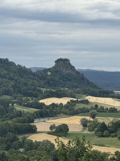
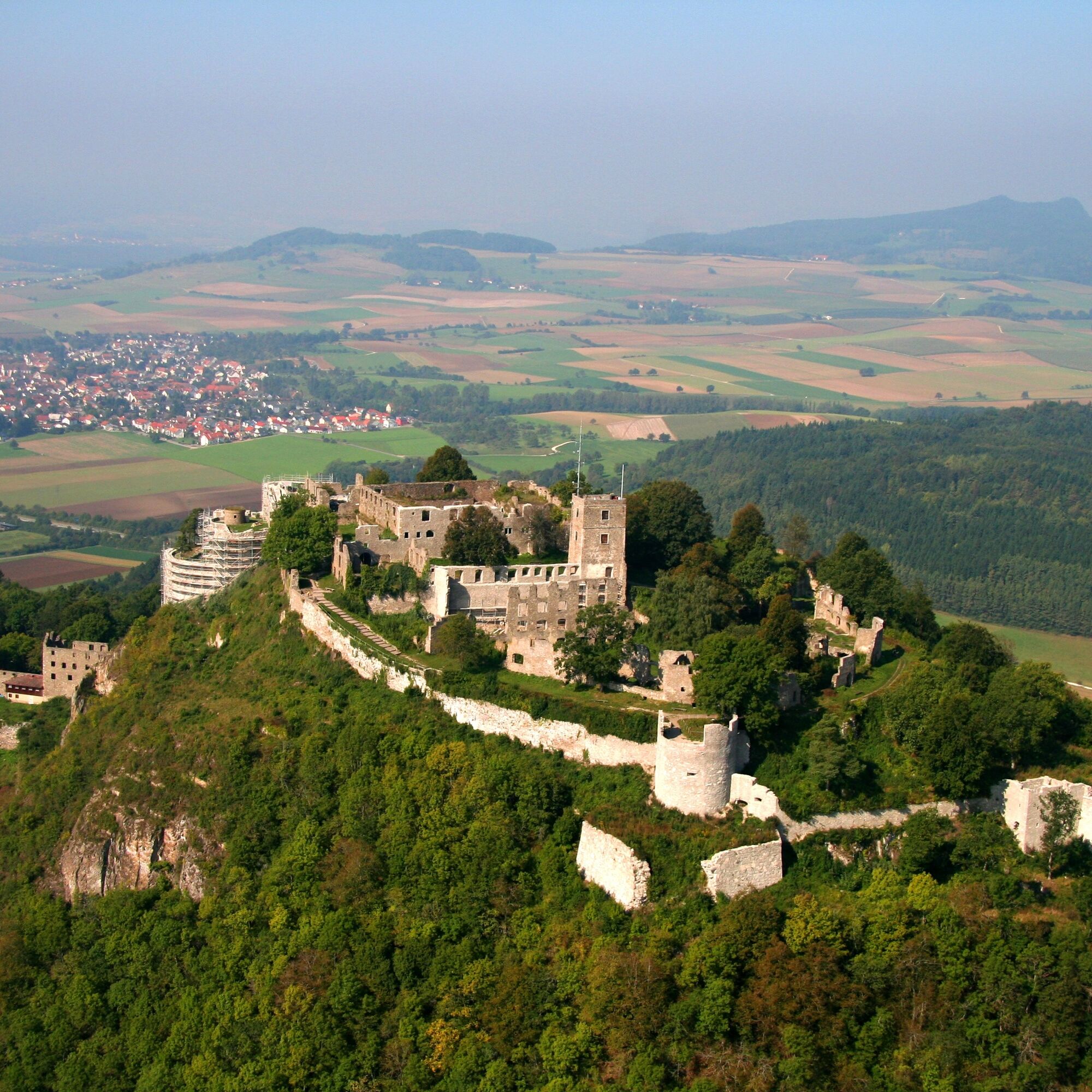
Hohentwiel: Most beautiful and best known Hegau mountain. The sturdy mountain, an extinct volcano with its distinctive contours and seemingly inaccessible rock faces, has been occupied since the Late Neolithic. With over 9 ha, the volcanic cone carries one of the largest fortress ruins in southern Germany. According to written records from the 10th century, the Hohentwiel was a ducal palace and for about 40 years the seat of a monastery dedicated to Saint George, which was moved to Stein am Rhein around 1005. After this period, the Hohentwiel passed to various noble families. In the turmoil of the Peasants' War, the then owner, Duke Ulrich of Württemberg, expanded the castle into one of the seven Württemberg state fortresses. This castle has experienced many wars and intrigues. Today the conflict between tourist use and nature conservation (the area around the mountain was placed under nature protection in 1941) is at the forefront. Hohentwiel is a popular destination for romantics and history enthusiasts.
Hohenstoffeln: Consists of three castles: Vorder-, Mittel- and Hinterstoffeln. The eastern Stofflerhof, the southeastern Sennhof, and the Burgweiler Burghausen on the northwest slope belong to the castles. The Hohenstoffeln, marked by two peaks, is one of the landmarks of the Hegau. On both peaks you will find the castle ruins. Possibly there was earlier a fortified settlement from the Urnfield period and a late Roman settlement on the mountain. The Hinter- and Mittelstoffeln castles on the northern peak originated from one complex. The Vorderstoffeln castle on the southern peak is first mentioned in 1358 as a new castle. Once court life thrived on the three castles, and numerous military conflicts also took place. Today, only ruins remain of these once proud castles. An earthquake in 1857, a lightning strike in 1883, and the basalt quarrying in 1912 on the northern peak nearly led to the destruction of the mountain and its castles. To this day, the gigantic remains of the quarry on the northern peak and parts of the old cable car system point to the former mining activity.
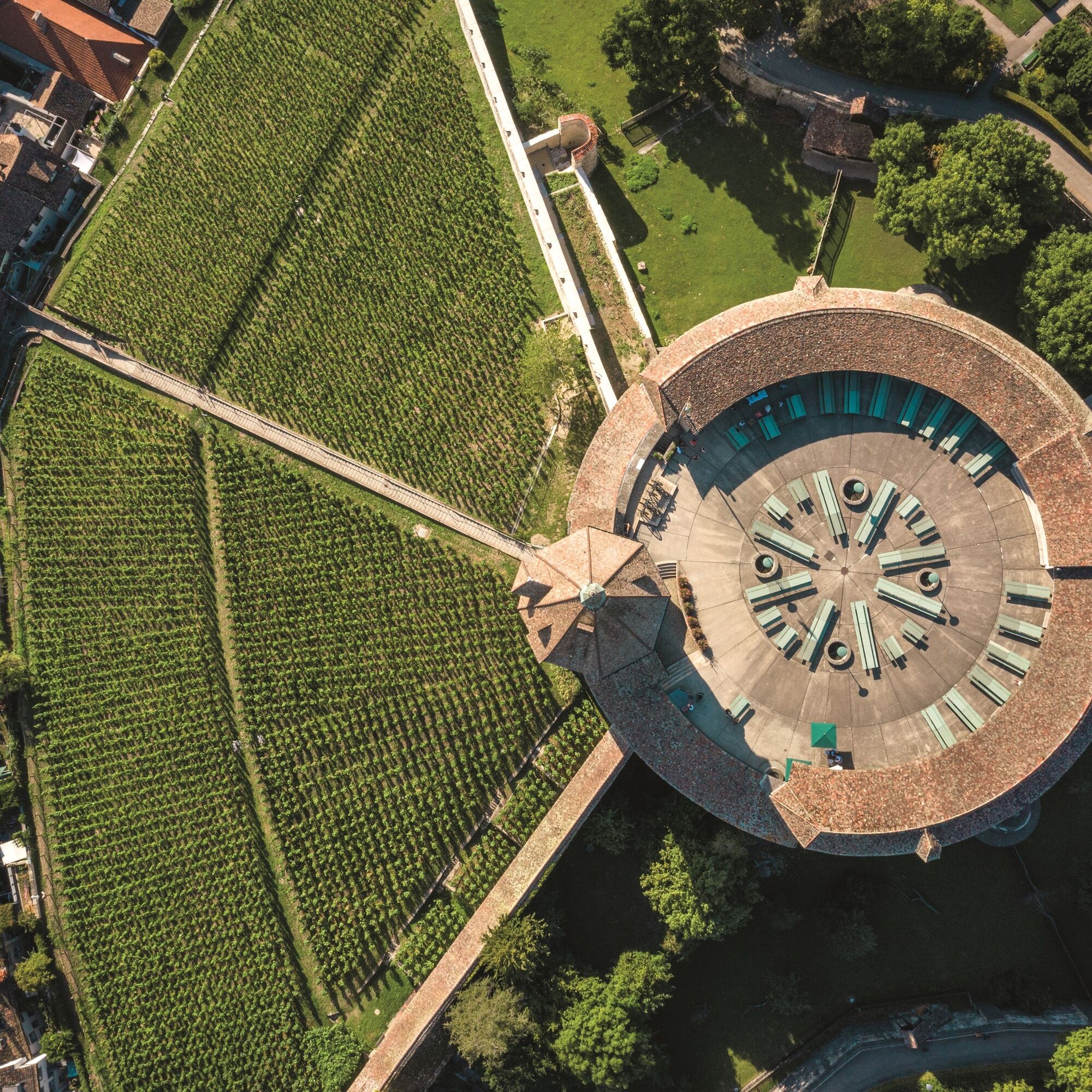
Munot: Impressive city fortress above the city of Schaffhausen and the Rhine. Apart from the Rhine Falls, the Munot is the landmark of Schaffhausen. The fortress was built between 1564 and 1589 by the citizens of Schaffhausen as forced labor. The construction principle of the Munot can be compared to Albrecht Dürer's idea of a circular bastion that is free on all sides and surrounded by an expanded city moat, enabling ideal all-around defense.
Roadworthy bicycle (racing bike if available), drinks and snacks for in between, as well as a bicycle helmet.
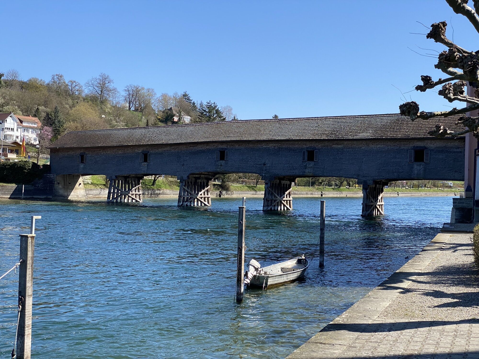
Note(s): The ferry across the Rhine operates only from April to October (Monday to Friday from 11:45 a.m. to 7:30 p.m., on Sundays and holidays from 9 a.m. to 7:30 p.m.). Outside the season, switch to variant E. This route is cross-border. Remember your ID.
Starting point: Old town Schaffhausen
Route planner
The train station parking garage is recommended.
3
Visit the Munot fortress in Schaffhausen, the Hohenklingen castle in Stein am Rhein, and enjoy the view.
Popularne wycieczki w okolicy
-
4,6
Small Rheinfall Circular Route
światłoWędrówka 3,48 km -
Hike on the panorama route of the Höri Peninsula
średniWędrówka 8,11 km -
3,3
"Hegauer Kegelspiel" Wannenberg hike
średniWędrówka 9,35 km -
3,7
Firstweg Langenmos
średniWędrówka 5,76 km -
4,5
Nature trail Merishausen: Brown route
średniTrasa tematyczna 11,4 km -
SwitzerlandMobility 896: Rhine Falls Circular Route
średniWędrówka 7,12 km -
Stein am Rhein - Hohenklingen Castle - Stein am Rhein
ciężkiWędrówka 7,79 km -
2,8
"Hegauer Kegelspiel" Hewensteig
średniWędrówka 6,23 km -
Circular hike Schaffhausen - Rhine Falls - Schaffhausen
średniWędrówka 10,0 km -
5,0
"Hegauer Kegelspiel" Hohentwieler
średniWędrówka 7,21 km
Wędrówki i tropienie


Nie przegap ofert i inspiracji na następne wakacje
Twój adres e-mail została dodana do listy mailingowej.