


Garden Rendezvous Thurgau Seerücken large
Poziom trudności: 4

The bike route connects some of the most beautiful gardens and parks in the western Lake Constance region. The route offers fantastic views again and again, but they must also be earned. Some climbs and...
The bike route connects some of the most beautiful gardens and parks in the western Lake Constance region. The route offers fantastic views again and again, but they must also be earned. Some climbs and a total of 700 meters of elevation challenge the dedicated cyclist on this route. The reward is a wonderful variety of gardens. The route initially follows the Lake Constance shore before going up onto the Thurgau Seerücken.


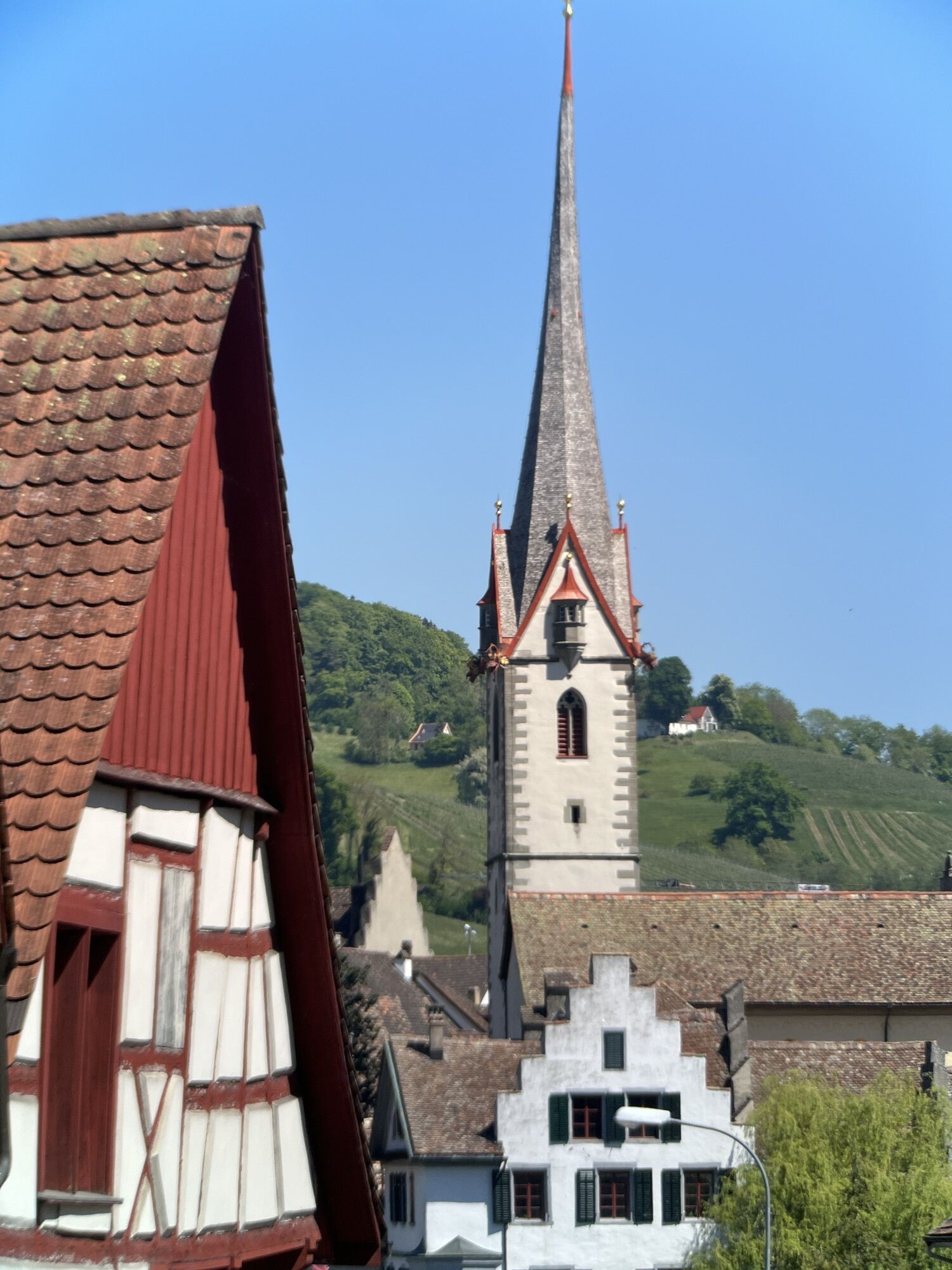
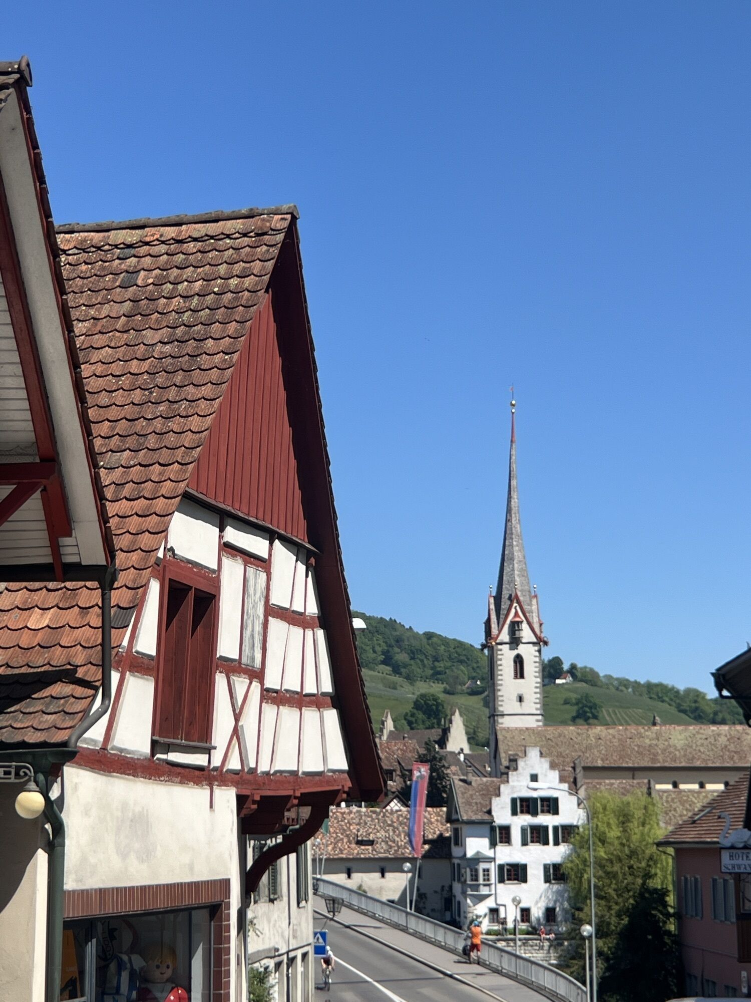
The route starts in front of the Tourist Office Stein am Rhein. There, you can get the brochure for the Garden Rendezvous at Untersee with precise directions and opening times of the participating gardens. The route follows the Lake Constance bike trail until Mannenbach-Salenstein. A detour to the monastery on Werd island is highly recommended right in Eschenz.
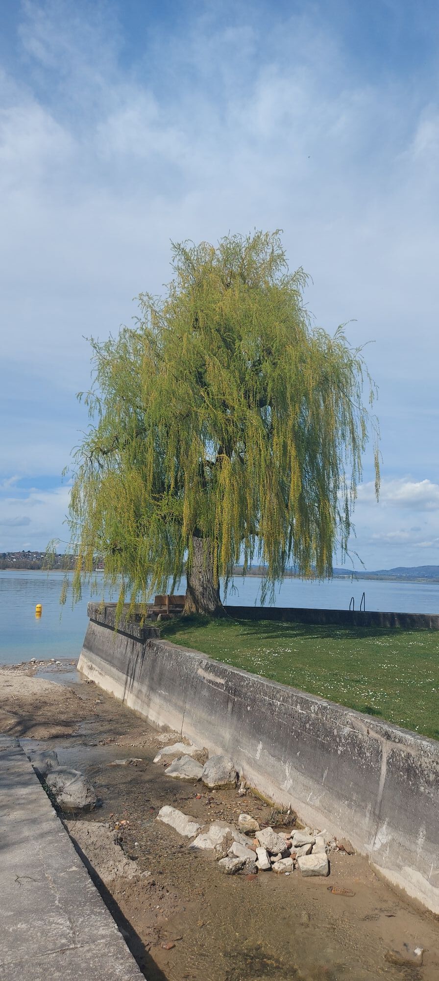
In Mammern, a look into the castle park of the local clinic is worthwhile. Outside of Mammern, at about the level of the campsite, a path on the opposite side of the street leads uphill to the garden of Kirsten and Tobias Kohler (visit by appointment). Next is Steckborn. When the bike path reaches the main road again, a path opposite leads into the Feldbach area with a rose garden, sunbathing lawn, and gastronomy directly on the lake shore.
In Berlingen, the Adolf Dietrich garden is located directly on the busy main road. Opposite it, the painter’s museum is worth a visit on summer weekends. There is already a stele with a picture of painter Adolf Dietrich at the Lido beach bar; another is located at the exit of Berlingen near the bike path.
In Mannenbach, we follow the signs to Arenenberg Castle, park the bikes, and stroll through the restored castle park. A visit to the museum in the castle is also worthwhile. On weekdays, the bistro offers an affordable lunch menu. Then it goes downhill to Ermatingen. Immediately after rejoining the main road, we continue straight at the left curve to the garden of Villa Phönix. The renovated and restored house on the left houses the Vinorama Museum Ermatingen, which, among other things, informs about the former owners of this garden.
We can push the bikes past the garden and reach the road to Fruthwilen. We do not follow the road to the right but take the path straight ahead (towards Wolfsberg), cross the Fruthwilen creek, and at the second junction to the left is a path to the wild rose trail. Back again, now we have to climb the Thurgau Seerücken, passing the UBS training center Wolfsberg (with park) and crossing the forest.
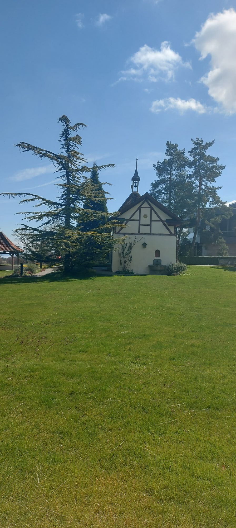
After the forest, the route goes right over Helsighausen, Rapperswilen, through the Homburger Tobel to Homburg and further to Reckenwil. It goes downhill now to Pfyn and into the Thur valley. Pfyn has a unique museum: http://www.zeitgarten.ch/. But we want to continue via Weiningen and Warth to the Ittingen Charterhouse. The charterhouse monastery is surrounded by numerous (rose) gardens. The Thurgau Art Museum at the monastery shows modern art (including paintings by Adolf Dietrich) and an exhibition on the history of the monastery.
We pass through the monastic complex, travel via Chabisland, Bärlingerhof to Buch (the painted village church is worth a visit!), and further toward Uerschhausen. Now we have to cross the valley of the Hüttwiler lakes (bathing possible) and also the village of Nussbaumen. At the exit of the village, we find the Höfli Wild Perennial Plant Nursery foundation. We continue following the road, overcome the Thurgau Seerücken and ride downhill to Kaltenbach and further to Stein am Rhein.
There, just before the Rhine bridge, turn left into Espi to the garden of Verena Bügler. Or enjoy the view from the St. Johann church in Vorderbrugg; even better is to relax at the boat landing or town hall square with a cool drink after the strenuous route.
Motorway Singen/Schaffhausen, exit Schaffhausen or Singen, then to Stein am Rhein
from Switzerland by train to Stein am Rhein station;
from Radolfzell station by Höribus line 7368 to Stein am Rhein;
Untertor parking lot, Stein am Rhein
4
A special highlight of this route is Arenenberg Castle and Park!
Popularne wycieczki w okolicy
-
4,0
Around the island of Reichenau
światłoWędrówka 10,9 km -
5,0
Mindelsee-Runde
światłoWędrówka 7,83 km -
Hike on the panorama route of the Höri Peninsula
średniWędrówka 8,11 km -
4,0
Circular hike Gaienhofen-Middle Höri
średniWędrówka 12,6 km -
3,7
Firstweg Langenmos
średniWędrówka 5,76 km -
Stein am Rhein - Hohenklingen Castle - Stein am Rhein
ciężkiWędrówka 7,79 km -
Rundweg Mindelsee
średniWędrówka 13,3 km -
5,0
From Konstanz around the island of Reichenau (Lake Constance)
średniJazda na rowerze 28,7 km -
SchweizMobil 2: Rhine Route stage 6 (Kreuzlingen - Schaffhausen)
średniJazda na rowerze 47,0 km -
4,5
Circular hiking trail from Mammern on Lake Constance to the Neuburg ruins
światłoWędrówka 6,73 km

Wędrówki i tropienie


Nie przegap ofert i inspiracji na następne wakacje
Twój adres e-mail została dodana do listy mailingowej.