






Mountain bike route "Geissentraum" Pizol/Tamina valley
Poziom trudności: S1
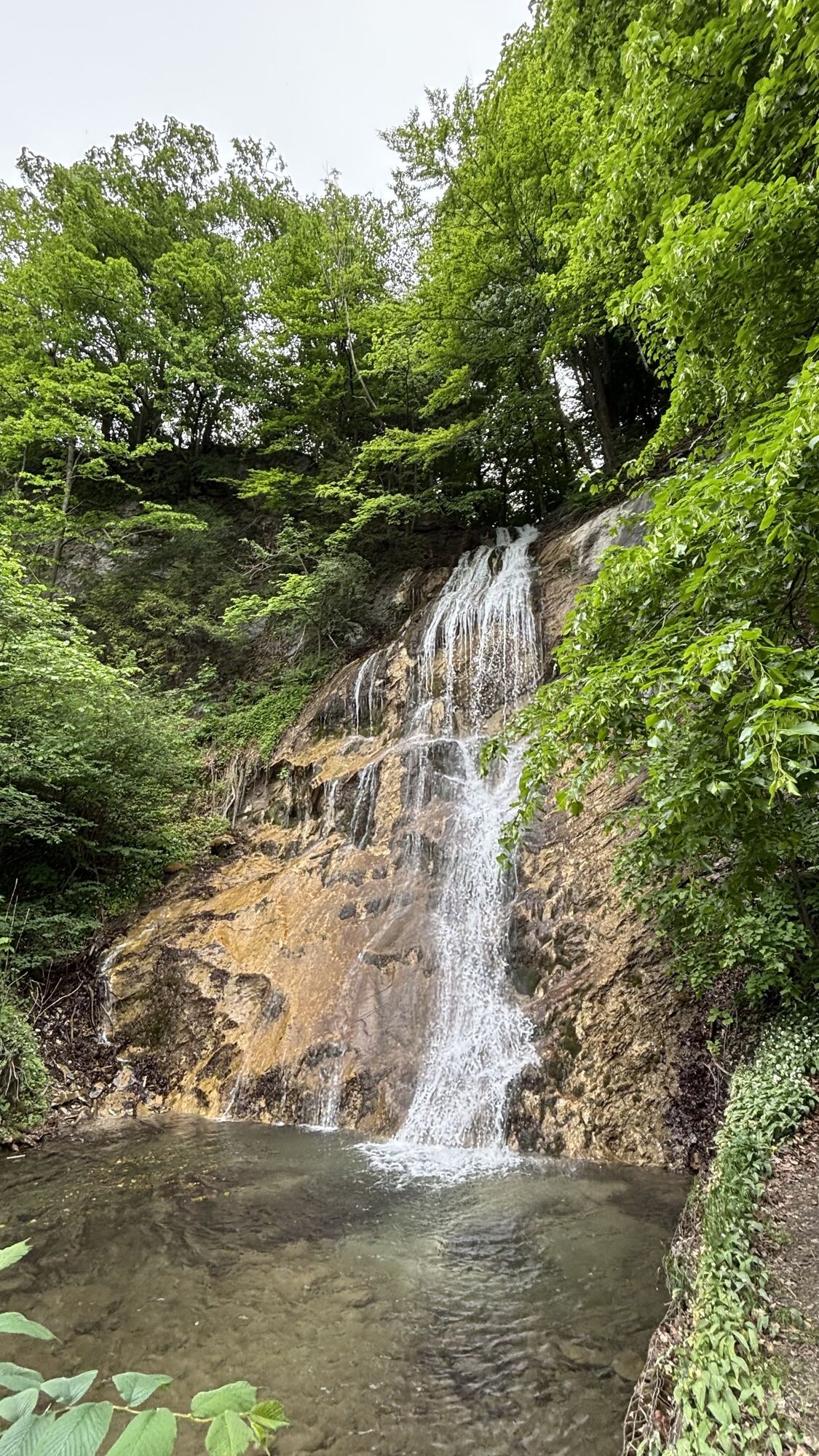
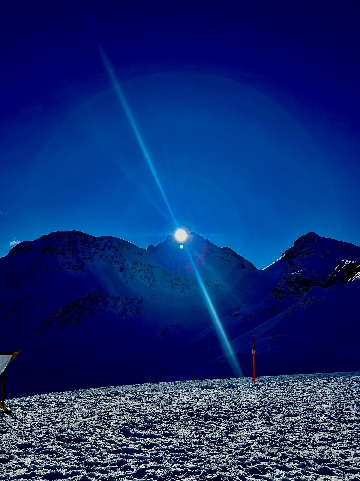
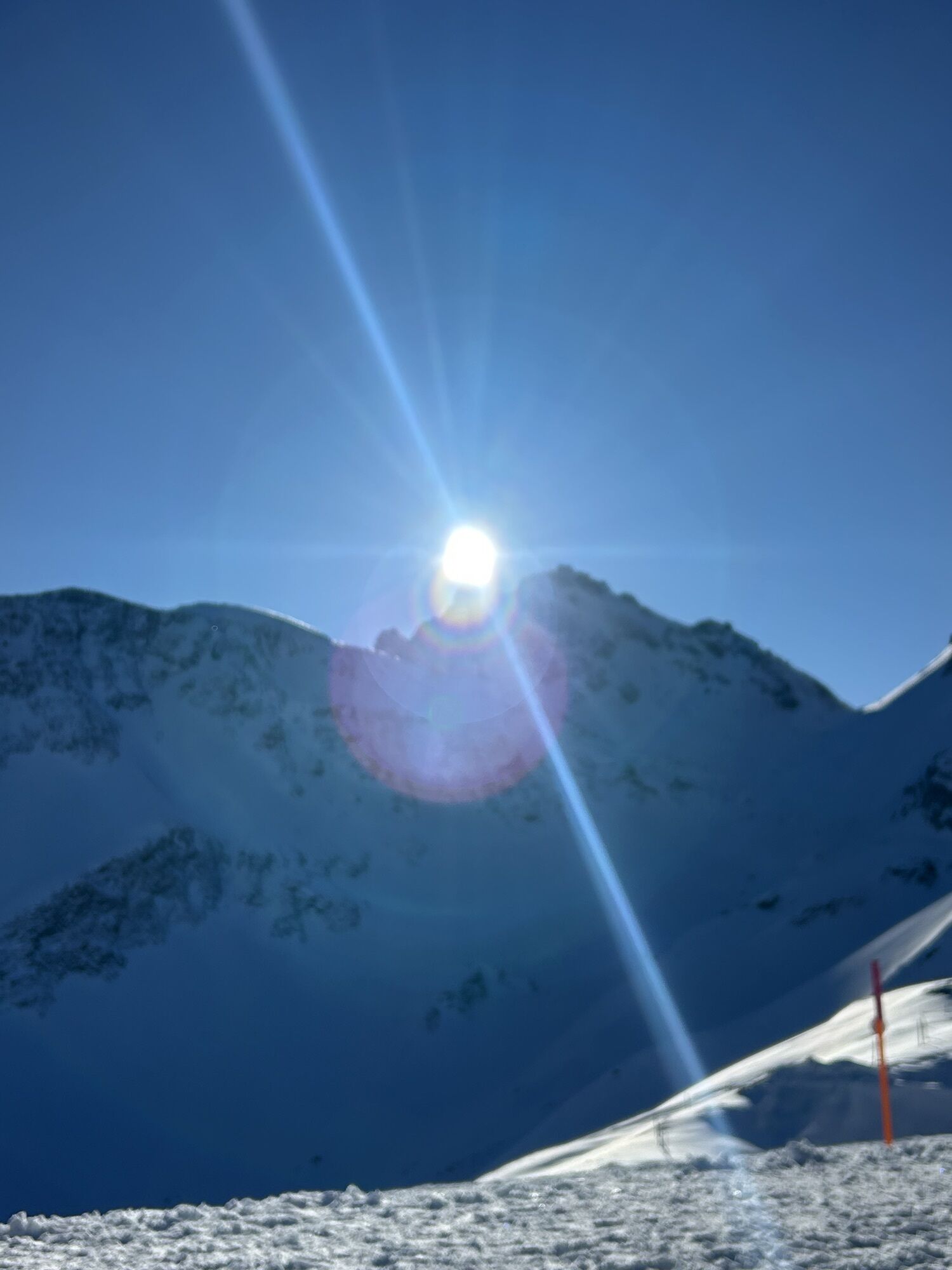
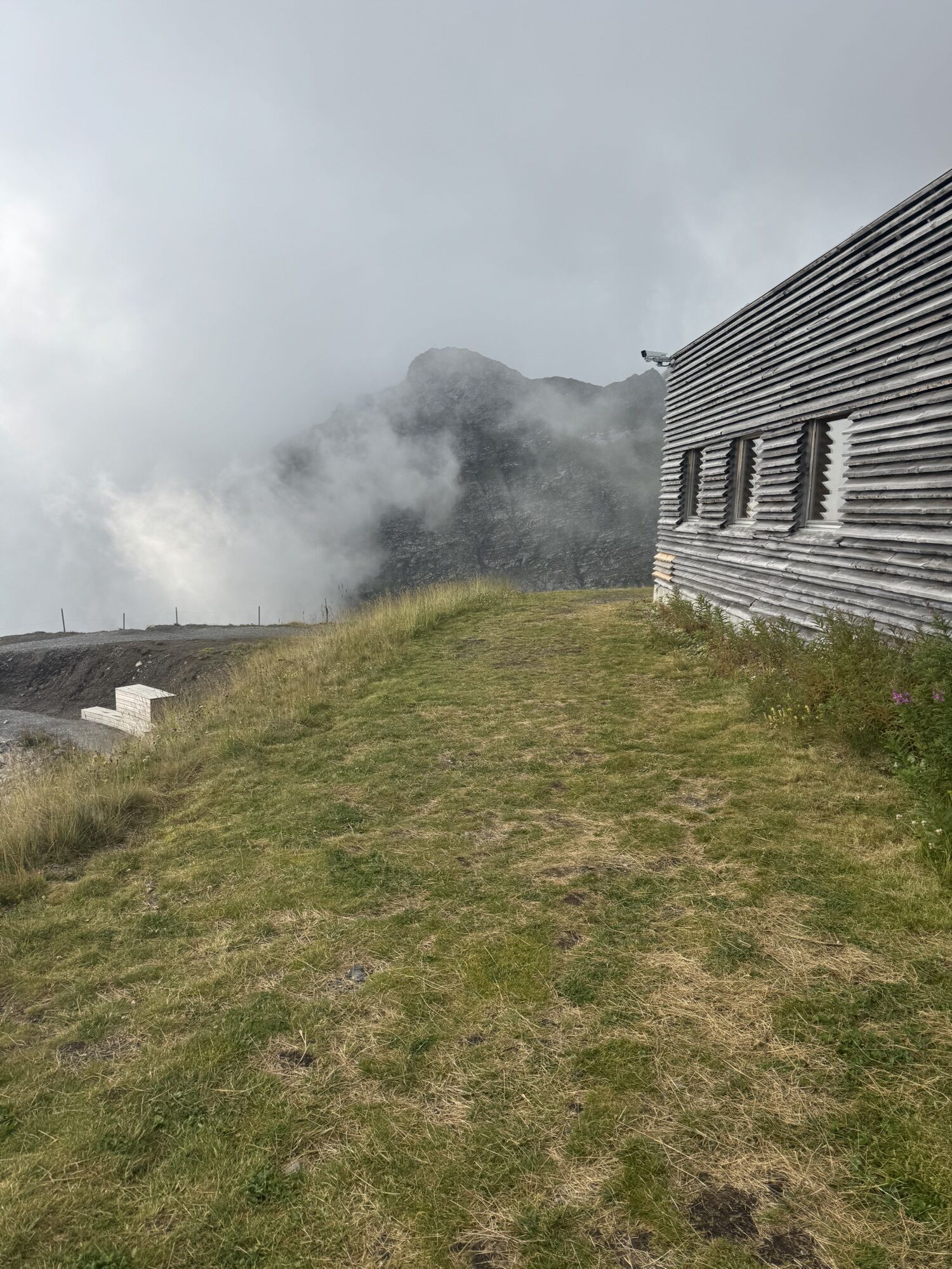
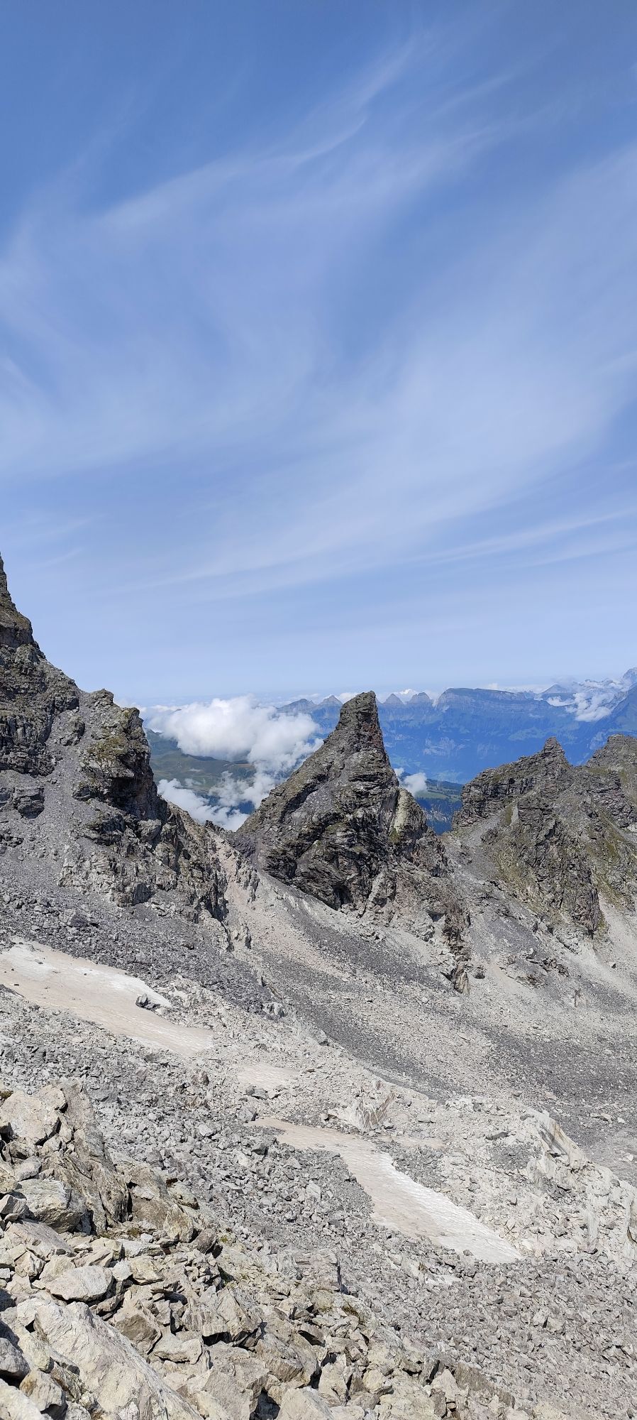
The route starts amidst a beautiful alpine mountain panorama at the Pizol hut. At the lower altitudes, the route delights with varied sights on the way, such as the new arch bridge over the Tamina Gorge...
The route starts amidst a beautiful alpine mountain panorama at the Pizol hut. At the lower altitudes, the route delights with varied sights on the way, such as the new arch bridge over the Tamina Gorge and the Freudenberg castle ruins.

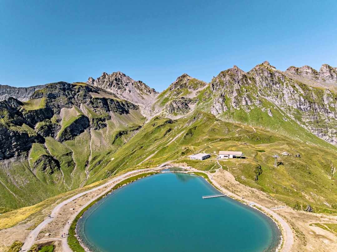
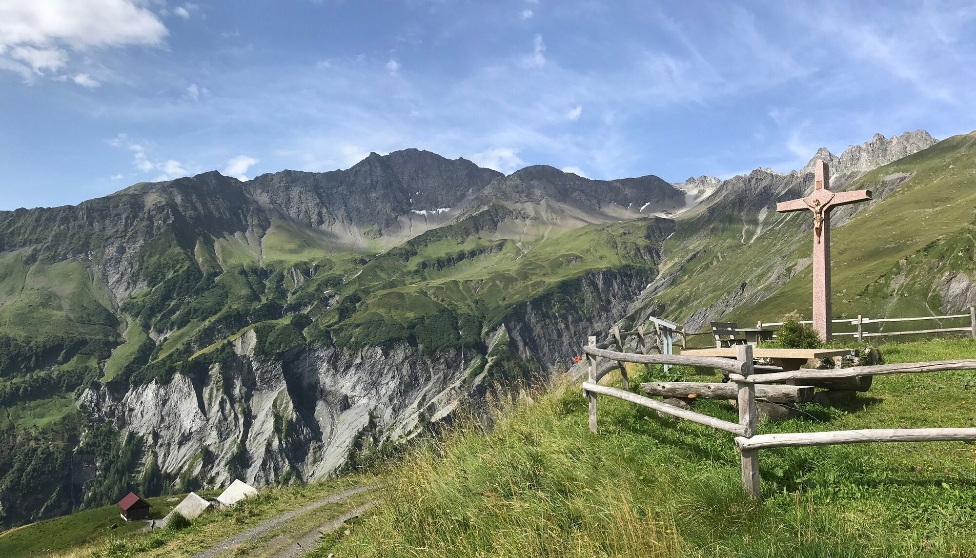

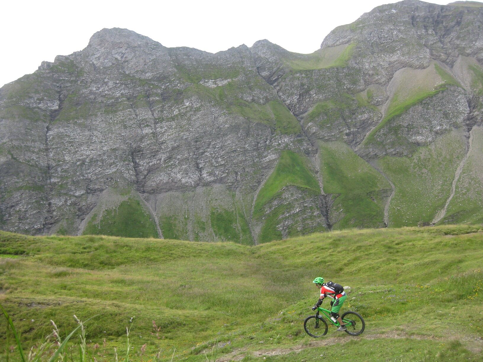
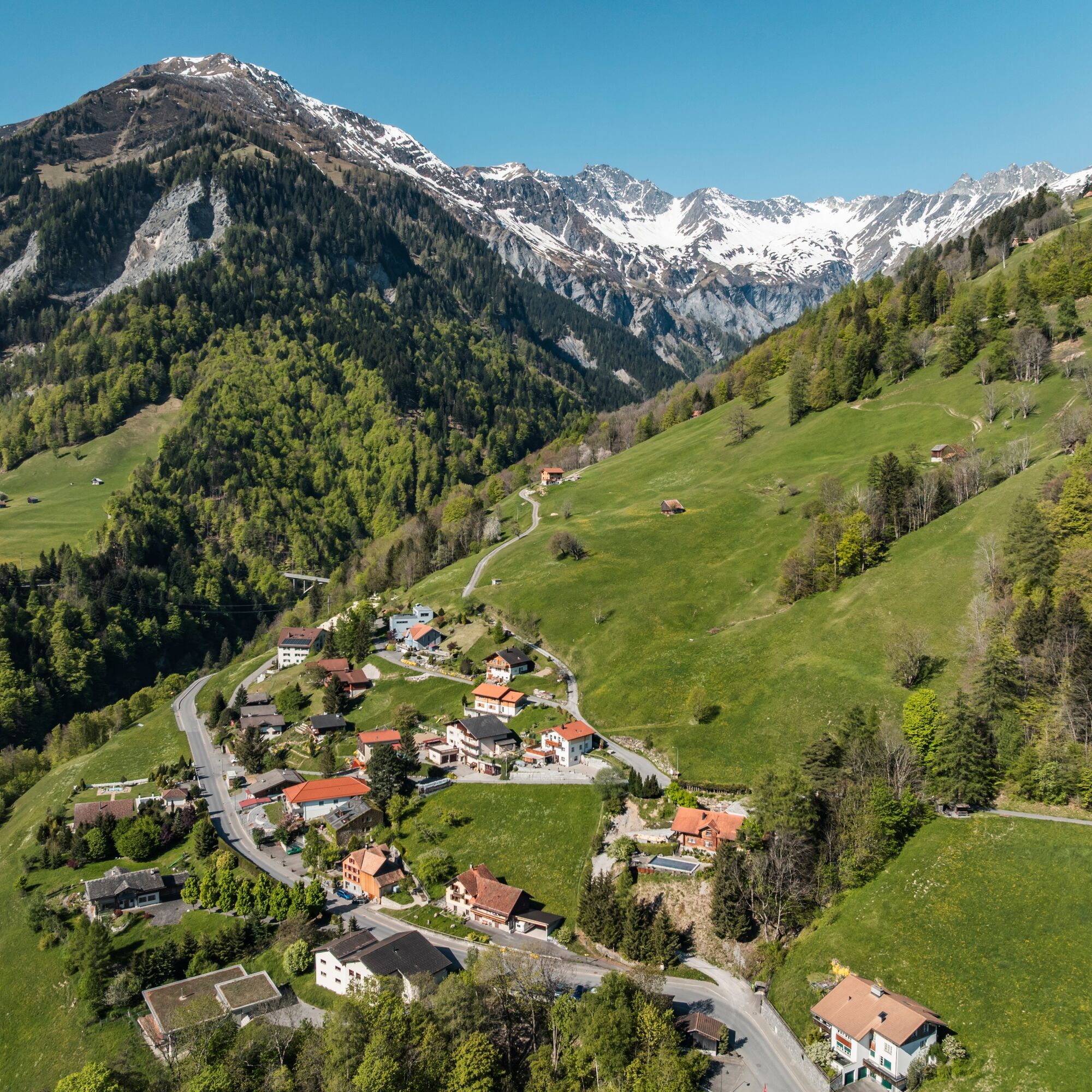
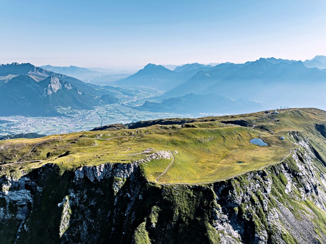
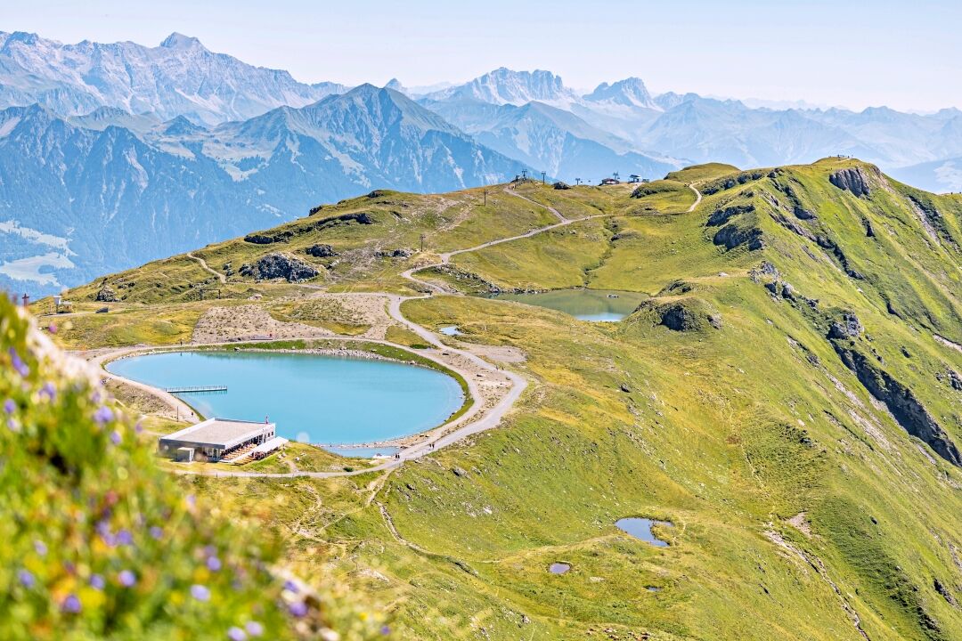

With the Pizol cable cars, we comfortably reach the high plateau of the Pizol ski and hiking area. The route starts at the Pizol hut at 2,222 meters above sea level. The route leads us directly south to Alp Lasa. From the alp, we use the well-ridable hiking trail as a single trail and thus reach the Lasatobel via Schleifböden and Dreher. At the fork, we take the left path and after about 2 km reach the old alp road, which we follow down to the village of Valens. We then continue downhill, passing Böden and Suldis, until shortly before the arch bridge over the Tamina Gorge. Here we turn left. The route leads us over a gentle ascent to Wildboden. From here we reach the valley station of the Pizol cable cars in Bad Ragaz via Chrinnenberg and past the Freudenberg ruins.
Tak
Recommended equipment:
Bike:
- Fully suspended (e-)mountain bike (fully) recommended
General safety/equipment:
- Helmet, gloves, cycling shoes
- First aid kit
- Knee and elbow pads recommended for the descent
- Service materials for breakdowns, pump, bicycle tools, patch kit
Personal equipment:
- Biker backpack
- Drinking water, provisions
- Mobile phone
- Sun and rain protection
Usual equipment for a bike experience.
The route partly runs on hiking trails, please be considerate of other trail users.
Motorway exit Sargans, then follow the signs to the Pizol cable car valley station in Wangs.
Train to Sargans, then bus to the Wangs bus stop, Pizol cable car directly at the Wangs valley station. From there by gondola and two chair lifts to the Pizol hut.
Public parking at the Bad Ragaz valley station available (chargeable).
S1
Pizolbahnen AG
+41 81 300 48 30
www.pizol.com
Heidiland Tourism, Bad Ragaz information office
+41 81 300 40 20
www.heidiland.com
Strengthen yourself before the tour with a beautiful view in the Pizol hut.
Kamery internetowe z trasy
-
Laufböden
-
Furt - Wangs Bergstation
-
Furt - Wangs Bergstation
-
Furt - Wangs Bergstation
-
Furt - Wangs Bergstation
-
Furt - Wangs Bergstation
-
Furt - Wangs Bergstation
-
Pardiel
-
Gaffia
-
Pizolhütte
-
Furt - Wangs Bergstation
-
Bergstation Vättnerberg / Vättis
-
Taminatal
-
Pardiel-Prodboden
-
Station-Pardiel
-
SAC Bergstation
-
Pizol
-
Pardiel
-
Pardiel
-
Pardiel
-
Pardiel
-
Alphütte Maienfeld
Uzyskaj wgląd
Zawsze na żywo z ponad 9 500 kamer internetowych. bergfex Jako użytkownik Pro, możesz teraz zobaczyć odpowiednie kamery internetowe dla wielu wycieczek w aplikacji wycieczki od. Pozwala to na bezpośredni podgląd aktualnych warunków.
Popularne wycieczki w okolicy
-
4,7
5-Seen Wanderung am Pizol
światłoWędrówka 10,1 km -
4,7
Tamina Gorge Circular Route
średniWędrówka 14,0 km -
4,7
Alvier
średniWędrówka 3,33 km -
4,6
Pizalun circular route
światłoWędrówka 7,18 km -
4,7
Pizol - Batöni - Weisstannen
ciężkiWędrówka 11,7 km -
4,7
Off to the Falknis
ciężkiWędrówka 18,2 km -
4,7
Mädems Trail
średniRakieta do chodzenia po śniegu 7,48 km -
5,0
Circular hike Bettlerweg & 2-Lakes Hike Pizol
średniWędrówka 11,4 km -
5,0
Guscha ridge path
średniWędrówka 7,96 km -
4,3
Waterfall Arena Batöni
średniWędrówka 8,24 km
Wędrówki i tropienie


Nie przegap ofert i inspiracji na następne wakacje
Twój adres e-mail została dodana do listy mailingowej.





