


Circular route Reiathöfe
Poziom trudności: S1
This mountain bike route takes you from Schaffhausen into the northern part of the canton to the Reiathöfe and back. This part of Schaffhausen is less known, but no less beautiful. Enjoy the varied flora...
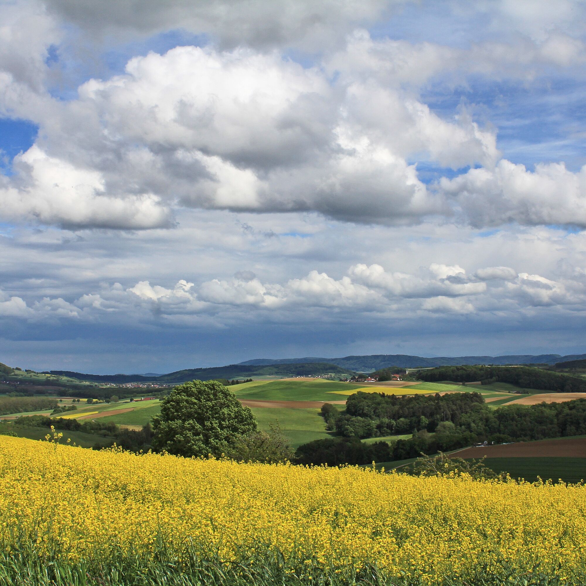
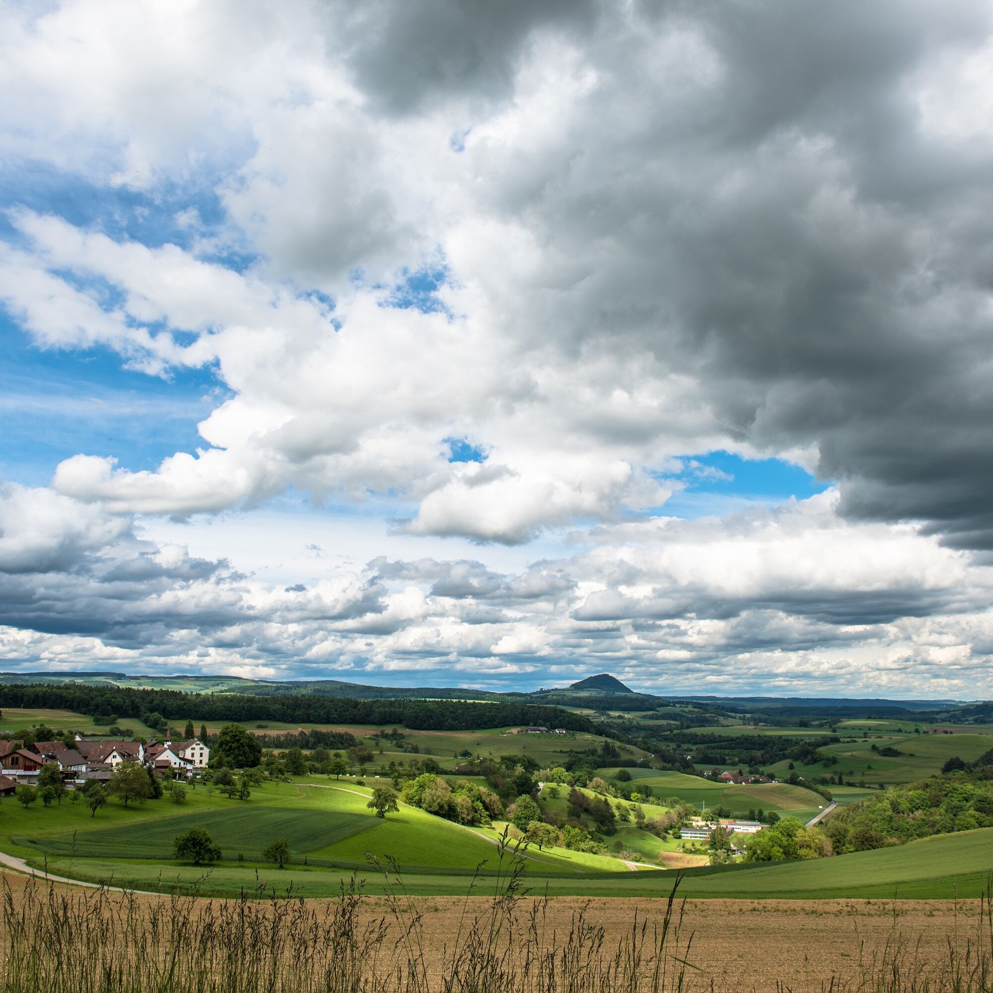
This mountain bike route takes you from Schaffhausen into the northern part of the canton to the Reiathöfe and back. This part of Schaffhausen is less known, but no less beautiful. Enjoy the varied flora and fauna on the route. You ride mostly on gravel and natural paths as well as trails through forests and pass the villages of Stetten, Lohn, and Büttenhardt. From there, on clear days, you can see all the way to the Swiss Alps.
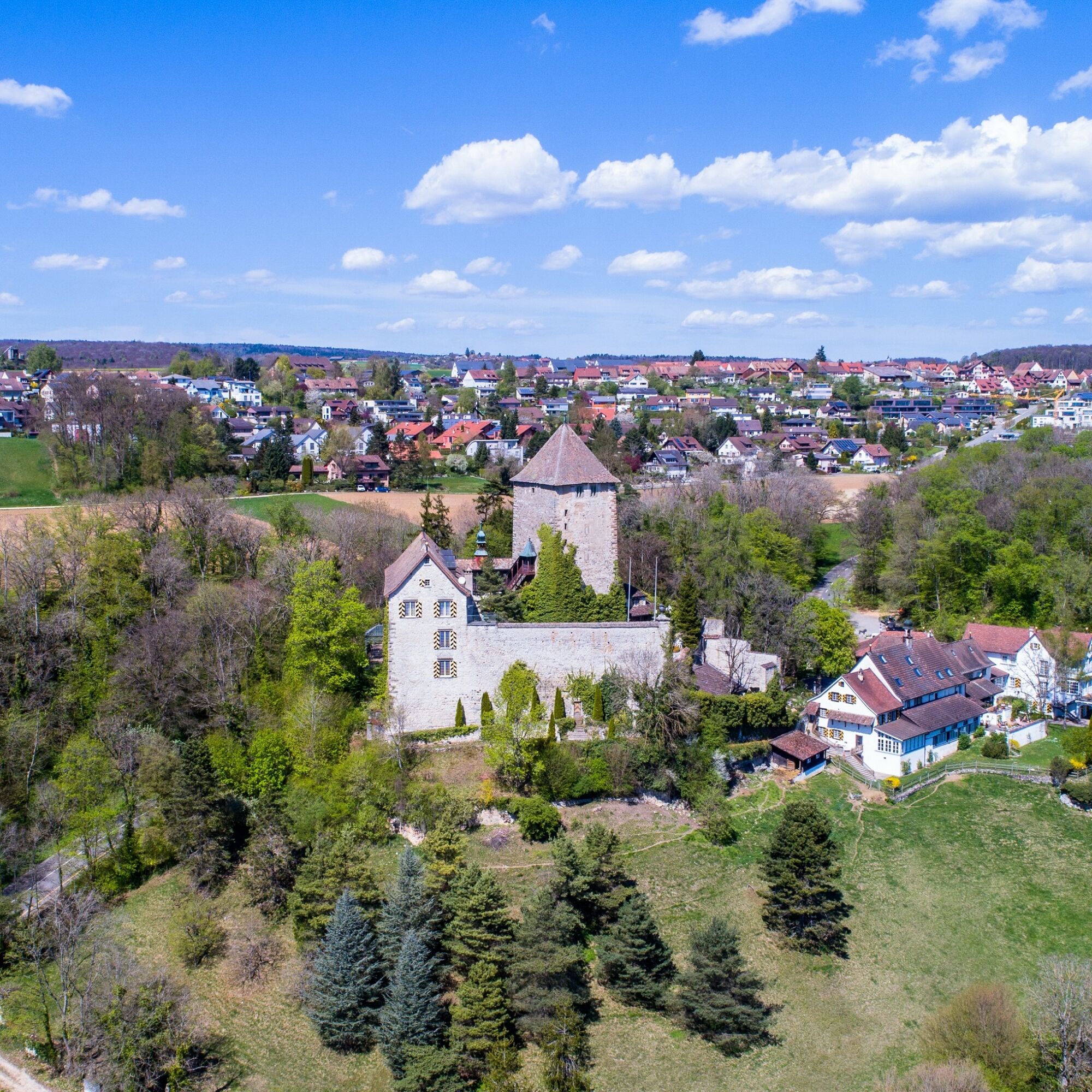
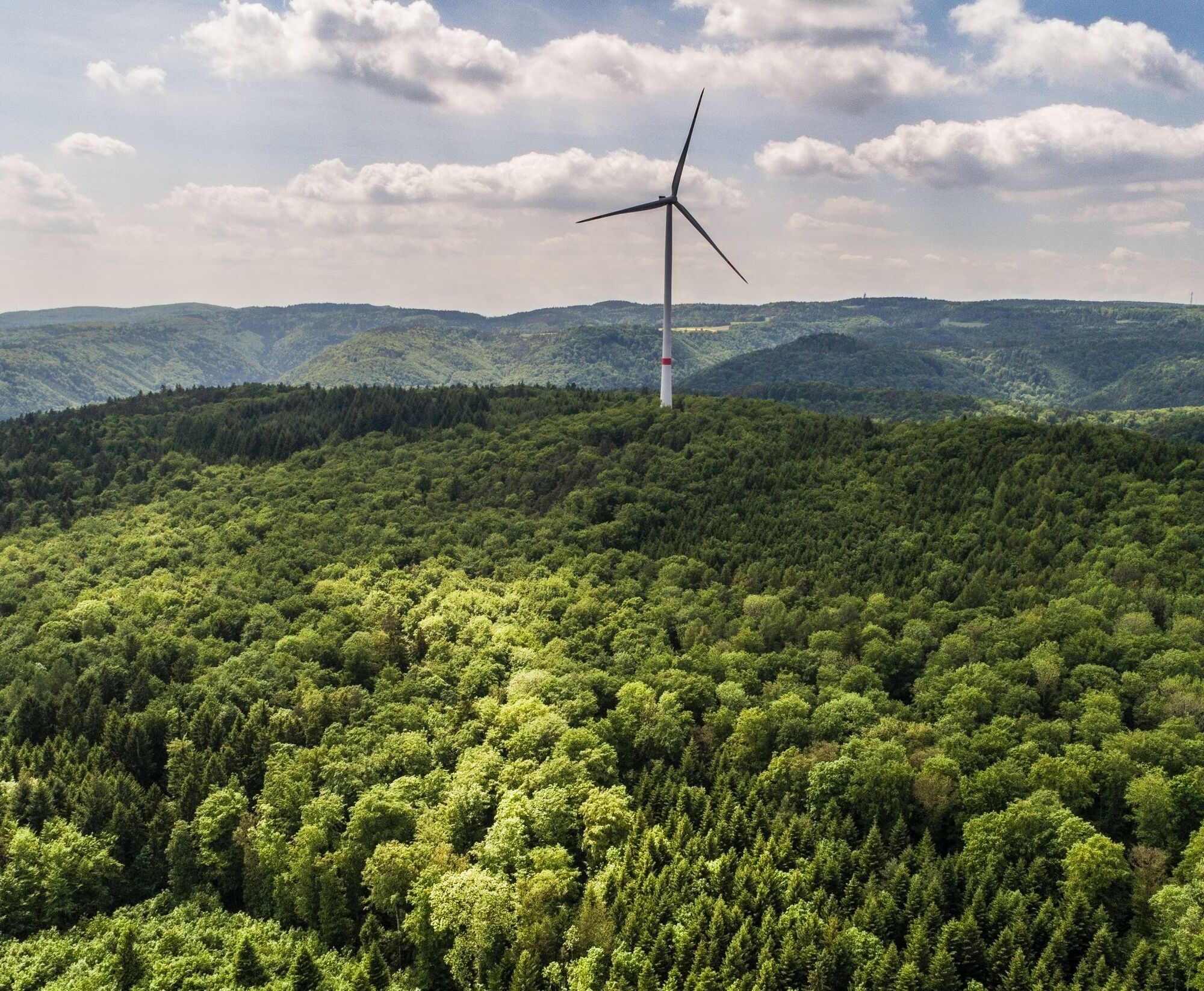
The route starts in Schaffhausen at the train station. From here, you ride on Hochstrasse to Herblingen. In the village center of Herblingen, you ride on Schlossgass towards Stetten, passing Herblingen Castle, which is now privately owned. Just after the castle, a path on the right side leads into a forested area. Ride through the forest and keep left towards Schönenbüel. On the right side, the path leads into the next forest section. Follow the path until you have to cross the main road "Stettemerstrasse" to reach Freudentalstrasse via field paths. There, turn left; just a few meters later, you reach the intersection to Büttenhardt. Ride through the village heading north to Oberdorf and from there onto the field path Buckstrasse. Follow the path to Reiathof. If you need a short break, a detour to the restaurant Reiatstube is worthwhile. The route passes through another forested area back toward Schaffhausen. You are right on the border with Germany. Above Freudental, the forest path leads over Emmerbärg and Längebärg into Merishausertal to the animal shelter. Here, ride right along the main road to the roundabout and through Mühletal back to Schaffhausen train station.
Mountain bike, bike helmet, drinks and snacks for in between.
The route partly runs along the main road. We recommend wearing a bike helmet.
Starting point: Schaffhausen train station stop
End point: Schaffhausen train station stop
Route planner
Various parking options in the center of Schaffhausen:
- Train station car park
- Diana car park
- Herrenacker car park
S1
Enjoy the wide view all the way to the Swiss Alps.
Popularne wycieczki w okolicy
-
4,6
Small Rheinfall Circular Route
światłoWędrówka 3,48 km -
4,7
"Hegauer Kegelspiel" Alter Postweg
średniWędrówka 9,26 km -
4,8
Rundwanderweg Rheinau
światłoWędrówka 6,85 km -
3,3
"Hegauer Kegelspiel" Wannenberg hike
średniWędrówka 9,35 km -
5,0
Circular hike over the Hinterranden
średniWędrówka 11,0 km -
Circular hike Schaffhausen - Rhine Falls - Schaffhausen
średniWędrówka 10,0 km -
SwitzerlandMobility 896: Rhine Falls Circular Route
średniWędrówka 7,12 km -
4,5
Nature trail Merishausen: Brown route
średniTrasa tematyczna 11,4 km -
4,5
SchweizMobil 593: Nordspitze Panoramaweg
średniWędrówka 13,7 km -
2,8
"Hegauer Kegelspiel" Hewensteig
średniWędrówka 6,23 km
Wędrówki i tropienie


Nie przegap ofert i inspiracji na następne wakacje
Twój adres e-mail została dodana do listy mailingowej.