


St Olav Ostrobothnia (N) 6/11, Monäs-Oravais
A long stage along forest roads, paths (two short sections), gravel roads and asphalt roads. Note: grocery stores and food outlets are only available at the end of the stage.
Start from Klippan camp area....
Start from Klippan camp area. At about 2.5 km, the trail turns left for a short forest stage and then continues again on a gravel road. From about 7 km, the trail turns right and then runs closer to the beach area. Here you also follow a forest track along an electric power line. At Bonäs boat marina, at about 11 km, there is a rest area, swimming facilities and an outhouse.
This is followed by a 5.5 km section on asphalt roads of varying widths, before the trail turns right onto the gravel Sundvägen. After about 5.5 km, continue straight on Högbergsvägen. After another 2 km, the Vinlax recreation area is on the right, with a rest area and swimming facilities.
After passing the village of Seiplax, you will reach highway E8, with about 4 km of cycle path (asphalt) left to Oravais centre.
INFO ORAVAIS
ABC with grocery store, café and restaurant
K-Market Oravais
Lillkungs Bakery and confectionery
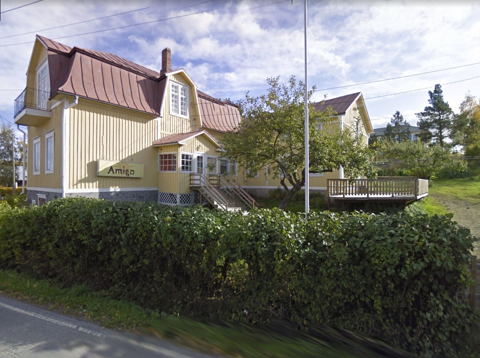
Amigo bed, community centre (accommodation)

Popularne wycieczki w okolicy
St Olav Ostrobothnia (N) 5/11, Nykarleby-Monäs
ciężkiTrasa pielgrzymki 26,7 kmSt Olav Ostrobothnia - Northern part
ciężkiTrasa pielgrzymki 256,8 kmNykarleby
średniWędrówka 5,21 kmNykarleby
światłoWędrówka 6,51 kmNykarleby
światłoWędrówka 6,10 kmFäboda - Nykarleby - Nykarleby kyrka
ciężkiMountainbike 88,5 km
Wędrówki i tropienie


Nie przegap ofert i inspiracji na następne wakacje
Twój adres e-mail została dodana do listy mailingowej.