BALARUC PENINSULA URBAN TRAIL
światło
Nawigacja
Nawigacja
Pobierz tę trasę na swój telefon komórkowy
BALARUC PENINSULA URBAN TRAIL
światło
Wędrówka
4,74
km
Zeskanuj kod QR i rozpocznij nawigację w aplikacji bergfex.

Wędrówki i tropienie


BALARUC PENINSULA URBAN TRAIL
światło
Odległość
4,74
km
Czas trwania
01:09
h
Ascent
6
hm
Poziom morza
-
m
Ścieżka do pobrania
BALARUC PENINSULA URBAN TRAIL
światło
Wędrówka
4,74
km
Starting point at the Centre Nautique Manuréva parking lot. Take a leisurely stroll along the banks of the Thau lagoon. Passing by the Jardin Antique Méditérranéen, admire the singular island - yes, Sète...
Opis
Starting point at the Centre Nautique Manuréva parking lot. Take a leisurely stroll along the banks of the Thau lagoon. Passing by the Jardin Antique Méditérranéen, admire the singular island - yes, Sète - and its dwellings spread out over Mont Saint- Clair. After three kilometers on your well-marked path, you'll arrive at Balaruc's "Port-centre", with its pier just a stone's throw away.
A nod to Brassens. Over the next three kilometers, you'll come across a number of thermal baths on your right: Balaruc-les-Bains is the place to come for a cure for rheumatism or circulation problems.
A nod to Brassens. Over the next three kilometers, you'll come across a number of thermal baths on your right: Balaruc-les-Bains is the place to come for a cure for rheumatism or circulation problems.
Trasa
Autor
Dostarczone przez Hérault Tourismus
Wycieczkę BALARUC PENINSULA URBAN TRAIL zapewnia outdooractive.com.

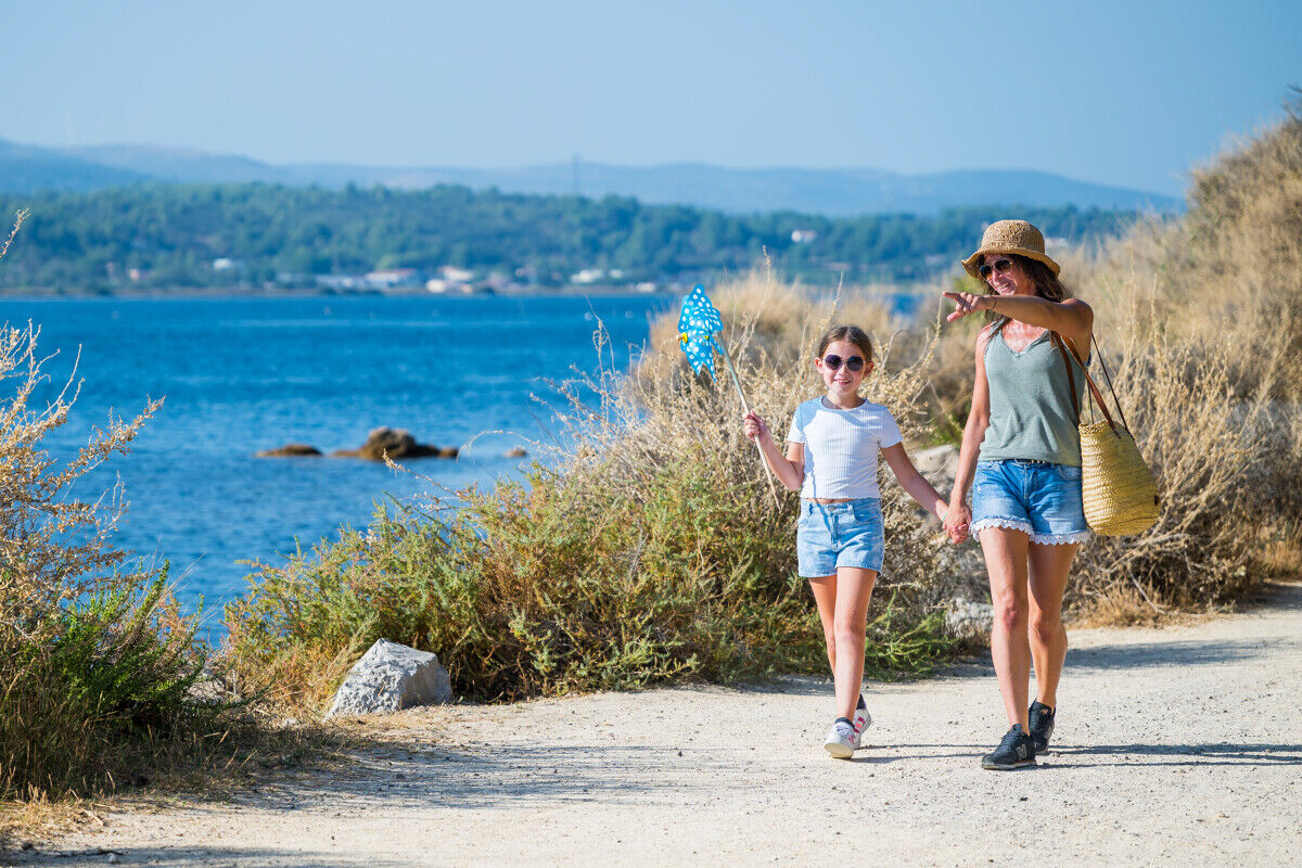

PROMENADE_COUPLE_LAGUNE-K_PROSNIER_OT-THAU-5095-1200px
© K_PROSNIER_OT-THAU-
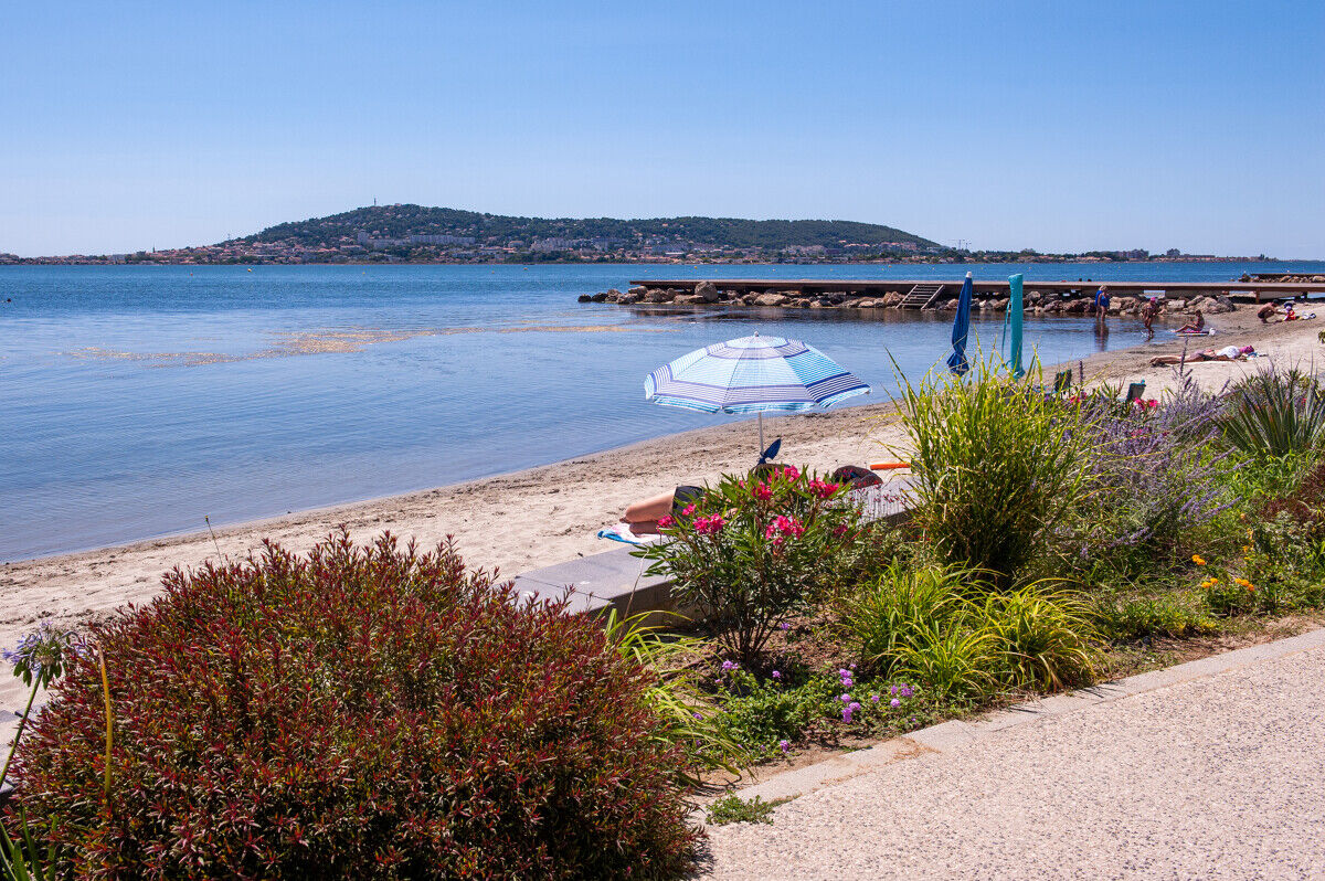
Plage-M_RICARD_OT-THAU-23021-1200px
© K_PROSNIER_OT-THAU-
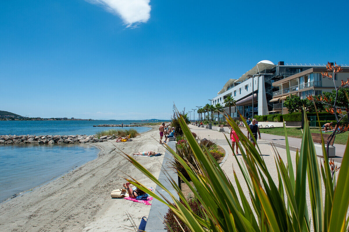
Archipel von Thau - Balaruc-Les-Bains - September 2024
© © Sam BIÉ - exclusif OT Archipel de Thau / Hérault Tourisme
Les_thermes-M_RICARD_OT-THAU-22999-1200px
© K_PROSNIER_OT-THAU-
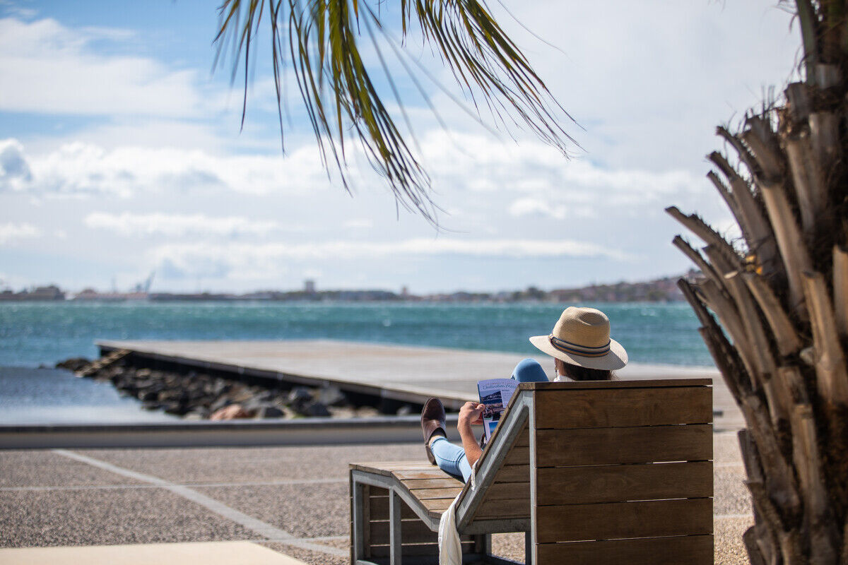
Femme_sur_un_transat-O_OCTOBRE_OT-THAU-25212-1200px
© Olivier Octobre - exclusif OT Archipel de Thau
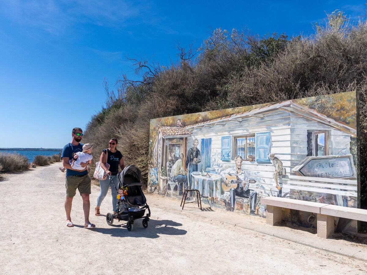
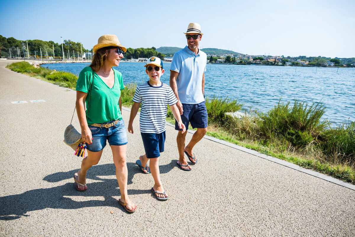
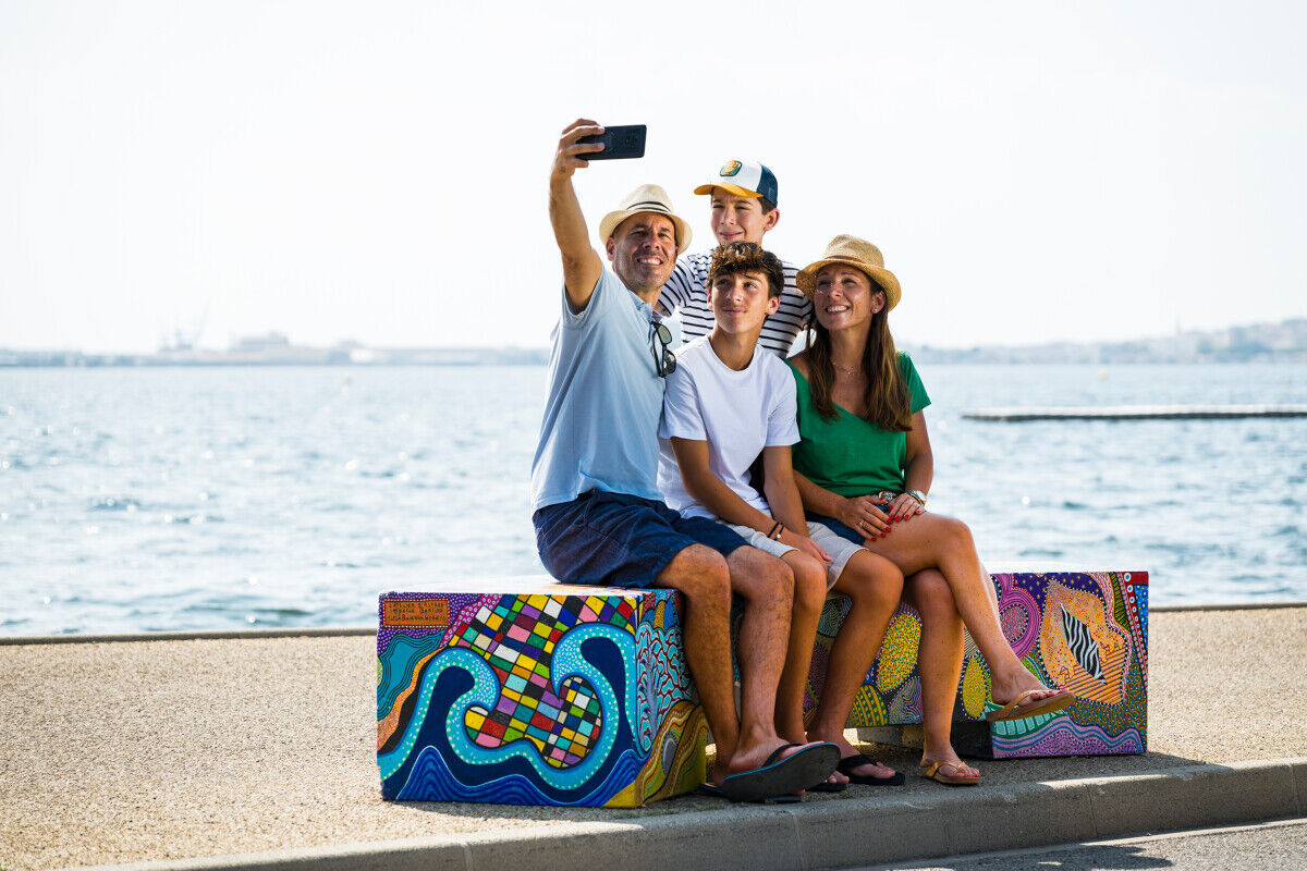
Balade_en_famille-O_OCTOBRE_OT-THAU-25164-1200px
© Olivier Octobre - exclusif OT Archipel de Thau
Nie ma jeszcze recenzji
Popularne wycieczki w okolicy
- 4,0
BALCONS DE THAU HIKE
światłoWędrówka 7,04 km - 5,0
MOURE HILLS HIKE
średniWędrówka 13,1 km RANDONNEE DES ARESQUIERS
światłoWędrówka 9,85 kmSAINT-FELIX EN GARDIOLE HIKE
średniWędrówka 13,7 kmCIT'ART HIKE THE BELVEDERES OF LA GARDIOLE
średniWędrówka 13,1 kmCYCLE LOOP No. 26 - THAU POND, ABBEY OF VALMAGNE AND PÉZENAS
średniJazda na rowerze 63,1 kmTHAU WINE ROUTE IN THE MEDITERRANEAN
światłoMotorrad 128,5 kmBALADE DES GUEULES ROUGES HIKING TRAIL
światłoWędrówka 6,16 kmMEDIEVAL ROUTE BETWEEN POND AND VINEYARDS OF THE ARCHIPELAGO OF THAU
światłoMotorrad 27,4 kmVIA DOMITIA HIKE
światłoWędrówka 4,95 km
Wędrówki i tropienie

Ponad 550.000 propozycji wycieczek, szczegółowe mapy i intuicyjny planer tras sprawiają, że aplikacja jest niezbędna dla wszystkich entuzjastów przyrody.

Nie przegap ofert i inspiracji na następne wakacje
Zapisz się do newslettera
Błąd
Wystąpił błąd. Spróbuj ponownie.Dziękujemy za rejestrację
Twój adres e-mail została dodana do listy mailingowej.
Wycieczki po całej Europie
Austria Szwajcaria Niemcy Włochy Słowenię Francja Holandia Belgia Polska Liechtenstein Czechy Słowacja Hiszpania Chorwacja Bośnia i Hercegowina Luksemburg Andorra Portugalia Islandia Wielka Brytania Irlandia Grecja Albania Macedonia Północna Malta Norwegia Czarnogóra Mołdawia Kosowo Węgry San Marino Rumunia Estonia Łotwa Białoruś Cypr Litwa Serbia Bułgaria Monako Dania Szwecja Finlandia