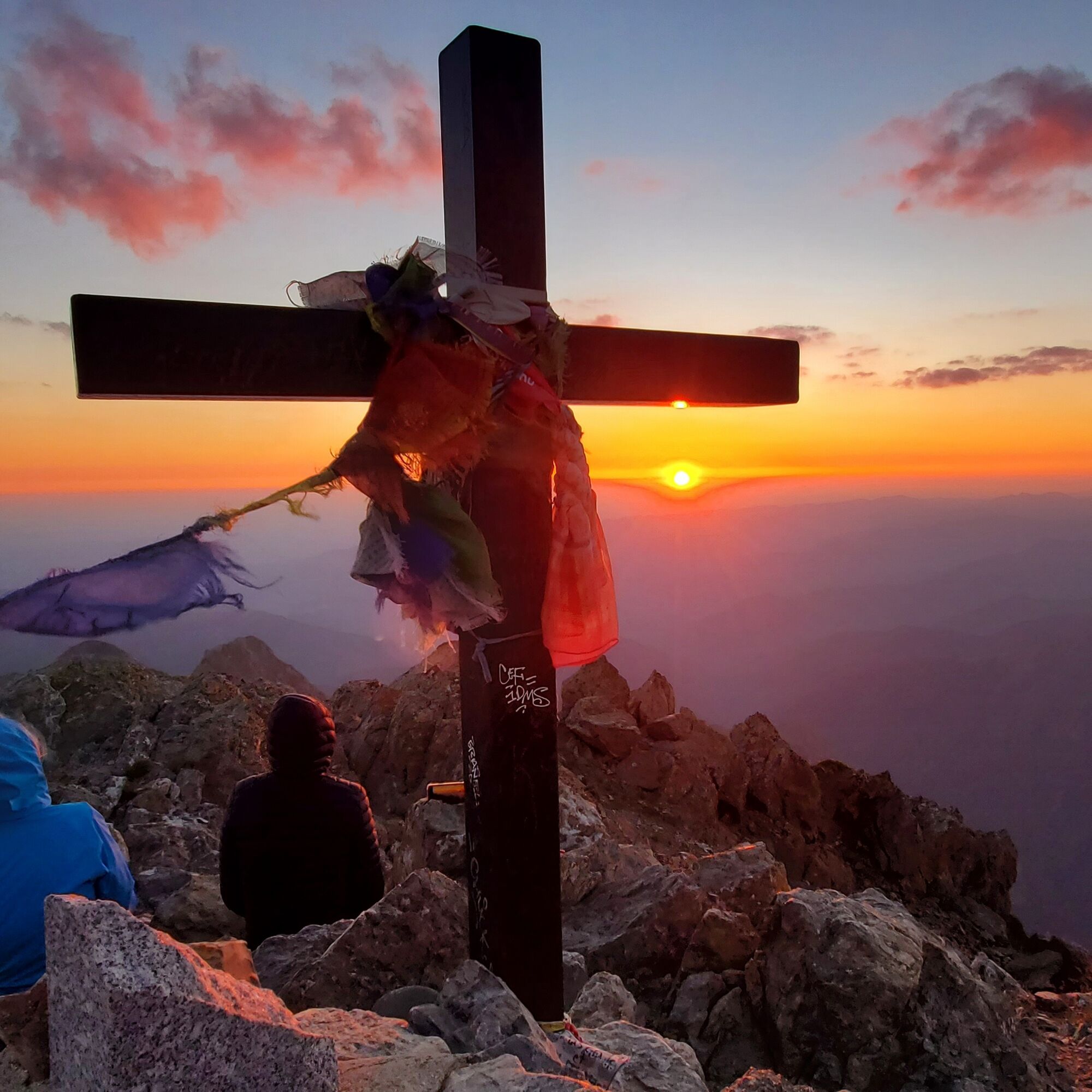
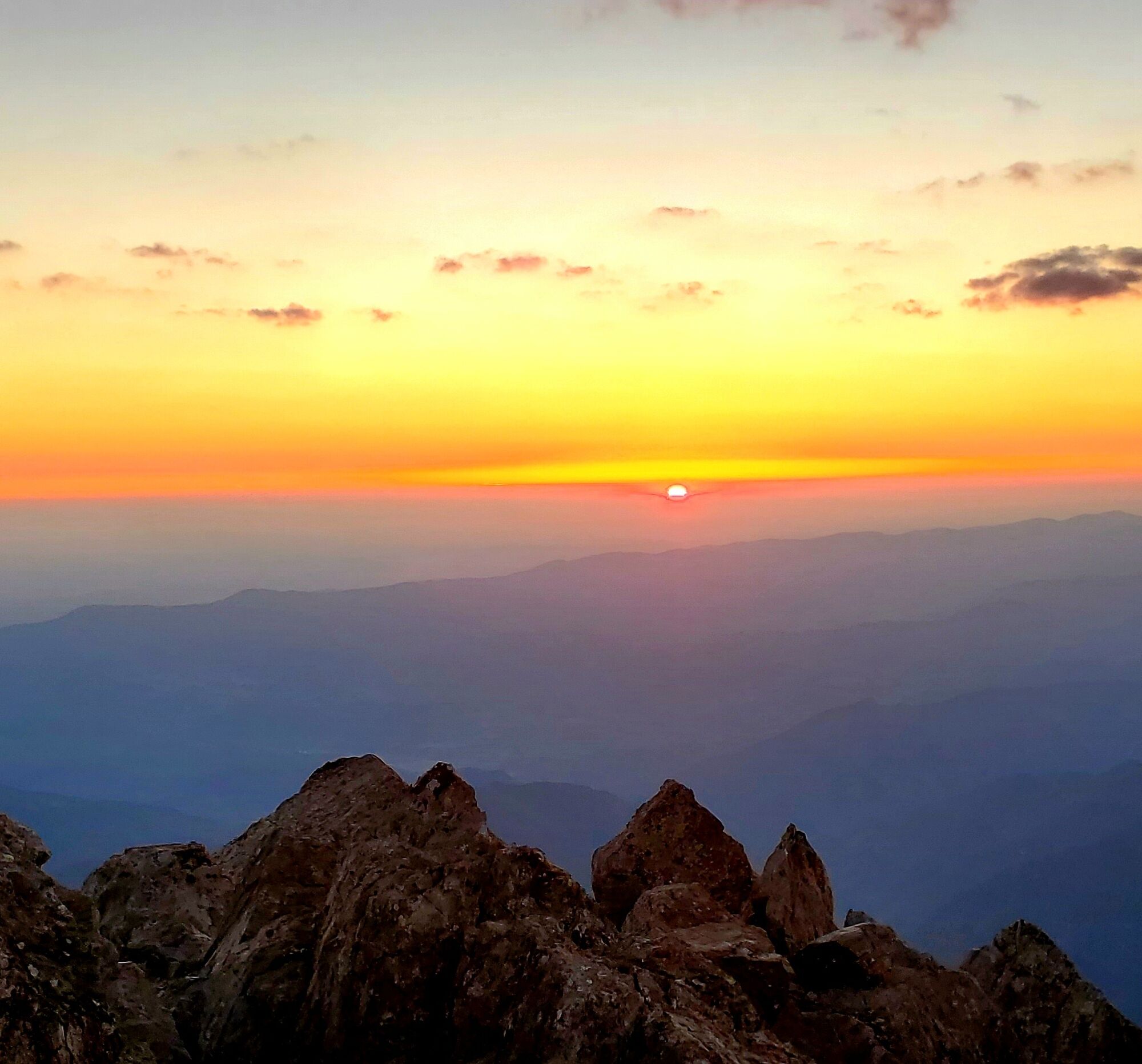
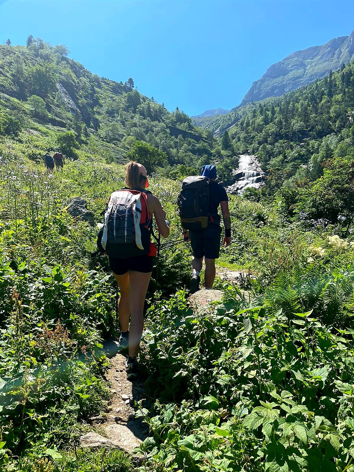
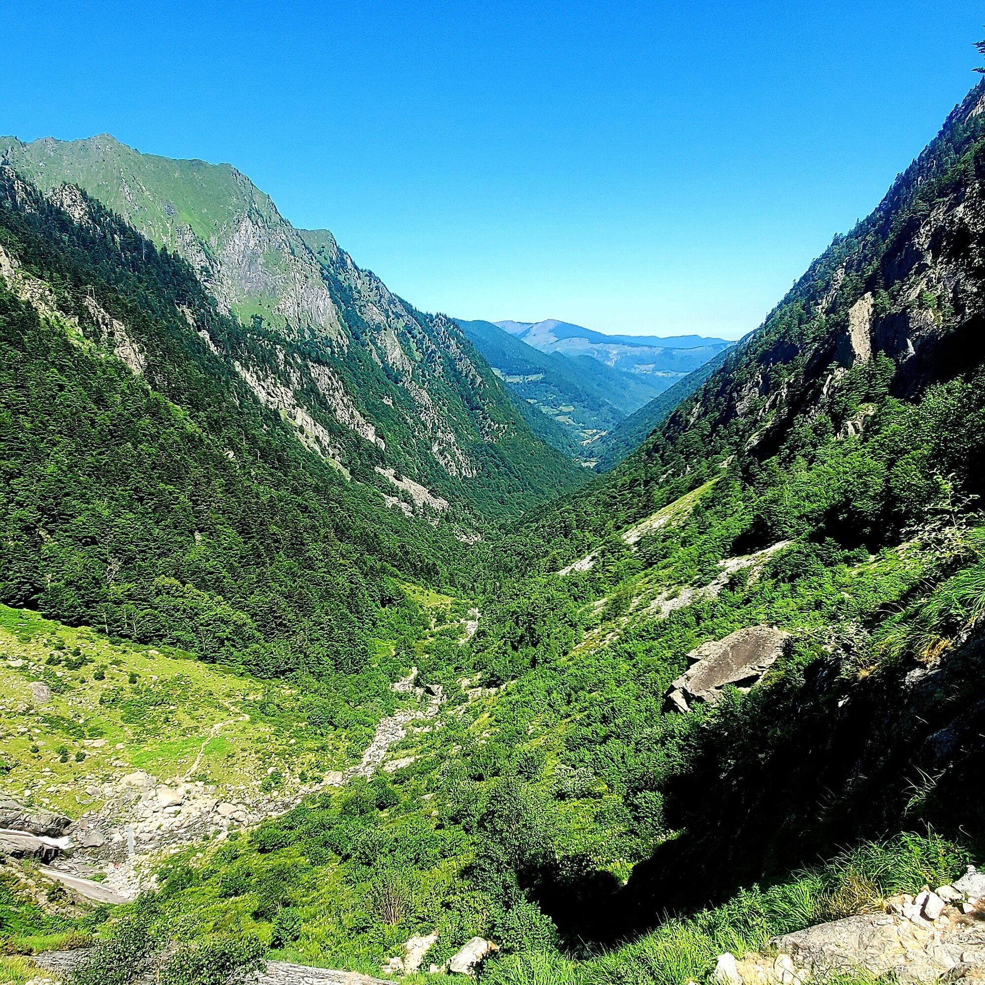
Tour of Mont Valier
ciężki
Nawigacja
Nawigacja
Pobierz tę trasę na swój telefon komórkowy
Tour of Mont Valier
ciężki
Wędrówka
77,59
km
Zeskanuj kod QR i rozpocznij nawigację w aplikacji bergfex.

Wędrówki i tropienie


Tour of Mont Valier
ciężki
Odległość
77,59
km
Czas trwania
06:00
h
Ascent
5 565
hm
Poziom morza
530 -
2 519
m
Ścieżka do pobrania
Tour of Mont Valier
ciężki
Wędrówka
77,59
km
Access to the start of the hike via the Col de la Pause parking lot is currently closed, which is why it is recommended to start from Lasserre to reach the parking lot afterwards. This lower parking adds...
Opis
Access to the start of the hike via the Col de la Pause parking lot is currently closed, which is why it is recommended to start from Lasserre to reach the parking lot afterwards. This lower parking adds about 1 hour and 15 minutes to your route.
Trasa
Coll de la Pala de Clavera
(2 524 m)
Siodełko górskie
23,3 km
Esbintz
(854 m)
Rozliczenie
41,2 km
Col de l'Oule
(766 m)
Siodełko górskie
46,2 km
Esteiches
(605 m)
Rozliczenie
47,7 km
Église de la Nativité-de-la-Sainte-Vierge
(681 m)
Miejsce kultu
61,1 km
Col de la Serre du Cotch
(1 546 m)
Siodełko górskie
66,1 km
Église Saint-Lizier
(699 m)
Miejsce kultu
70,9 km
Trasa
Tour of Mont Valier
ciężki
Wędrówka
77,59
km
Source Cabane d'Arreau
(1 710 m)
Źródło
1,4 km
Port d'Aulà
(2 261 m)
Siodełko górskie
6,8 km
Pletiu dels Vinyals
(2 190 m)
Korytarz/teren
8,8 km
Borda Ignasia
(1 447 m)
Restauracja
17,2 km
Coll de la Pala de Clavera
(2 524 m)
Siodełko górskie
23,3 km
Refuge «Les Estagnous»
(2 248 m)
Schronienie
26,4 km
Cabane des Espugues
(2 113 m)
Refuge (niezarządzany)
29,7 km
Cabane d'Eychelle
(1 978 m)
Refuge (niezarządzany)
32,3 km
Source Lac d'Eychelle
(1 929 m)
Źródło
32,8 km
Esbintz
(854 m)
Rozliczenie
41,2 km
Camp Peyret
(765 m)
Rozliczenie
44,8 km
Gite d'Aunac
(790 m)
Schronienie
45,5 km
Aunac
(764 m)
Rozliczenie
46,1 km
Col de l'Oule
(766 m)
Siodełko górskie
46,2 km
Le Courret
(769 m)
Rozliczenie
46,2 km
Coumecaude
(642 m)
Rozliczenie
47,2 km
Esteiches
(605 m)
Rozliczenie
47,7 km
Moulin Lauga
(543 m)
Rozliczenie
48,7 km
Couflens de Betmajou
(557 m)
Rozliczenie
48,7 km
Azas
(637 m)
Rozliczenie
49,5 km
Croix de la Bouche
(901 m)
Korytarz/teren
53,5 km
Poutz de la Ruguero
(1 123 m)
Wejście do jaskini
57,0 km
Fount de las Nouzés
(1 140 m)
Źródło
57,3 km
Le Trein d'Ustou
(673 m)
Wioska
61,0 km
Église de la Nativité-de-la-Sainte-Vierge
(681 m)
Miejsce kultu
61,1 km
Bielle
(741 m)
Rozliczenie
61,6 km
Col de la Serre du Cotch
(1 546 m)
Siodełko górskie
66,1 km
La Bourdasse
(1 232 m)
Rozliczenie
67,5 km
Prat de la Gleizo
(1 208 m)
Rozliczenie
67,6 km
Couret Mauri
(1 130 m)
Rozliczenie
68,1 km
Rouzé d'en Haut
(1 097 m)
Rozliczenie
68,2 km
Labouche
(953 m)
Rozliczenie
68,8 km
La Moulo (Moulin)
(970 m)
Rozliczenie
68,8 km
Église Saint-Lizier
(699 m)
Miejsce kultu
70,9 km
Couflens
(700 m)
Wioska
71,0 km
Faup
(1 016 m)
Rozliczenie
73,9 km
Autor
Dostarczone przez Ariège Pyrénées Tourismus
Wycieczkę Tour of Mont Valier zapewnia outdooractive.com.

Dodatkowe informacje i wskazówki
Dodatkowe informacje
You are in the heart of the Ariège Pyrenees Regional Natural Park.
We encourage you to adopt responsible behavior in this fragile and shared environment.
- Stay on the trails and take your waste with you.
- Observe the flora without picking it.
- Remain discreet for the wildlife.
- In summer grazing areas, remember to close fences and gates. Do not approach or feed the animals. If a Patou (livestock guardian dog) approaches you, move away slowly and calmly. Do not make sudden gestures or shout, even if it barks, as it will consider you a threat. If it follows you, ignore it.
- Swimming in lakes is discouraged. Sunscreen (even organic!) and other cosmetics are sources of pollution in this fragile environment.
- Camping is allowed, but only between 7 pm and 9 am, and at more than one hour's walk from a parking lot.
- During drought periods, all fires are prohibited. Otherwise, fires are only allowed at more than 200m from a forest. Prefer stoves to natural fire pits.
- In the unlikely event of an encounter with a bear (which tries at all costs to avoid us): make yourself heard calmly, move away gradually, and do not run.
Nie ma jeszcze recenzji
Popularne wycieczki w okolicy
-
Circuit cyclosport 11 - Le cyclotour de l'Ariège - Etape 2 de Castillon-en-Couserans à Auzat
ciężkiDroga rowerowa 84,0 km -
Mont Valier par l'étang de Milouga
ciężkiWędrówka 21,2 km -
Mont Valier
ciężkiWędrówka 17,6 km -
Le Col d'Agnès - circuit n°5
ciężkiDroga rowerowa 106,8 km -
GR 10 Couserans Pyrénées - Castillon
ciężkiWędrówka 37,2 km -
Cirque de Cagateille
światłoWędrówka 4,40 km -
Étang d'Ayes
światłoWędrówka 7,32 km -
Les sabots de Bethmale - Circuit n°3
światłoDroga rowerowa 64,7 km -
Le Pic du Freychet en ski de randonnée
światłoWycieczka narciarska 15,7 km -
Pic de Fonta
ciężkiWędrówka 9,53 km

Wędrówki i tropienie

Ponad 550.000 propozycji wycieczek, szczegółowe mapy i intuicyjny planer tras sprawiają, że aplikacja jest niezbędna dla wszystkich entuzjastów przyrody.

Nie przegap ofert i inspiracji na następne wakacje
Zapisz się do newslettera
Błąd
Wystąpił błąd. Spróbuj ponownie.
Dziękujemy za rejestrację
Twój adres e-mail została dodana do listy mailingowej.
Wycieczki po całej Europie
Austria
Szwajcaria
Niemcy
Włochy
Słowenię
Francja
Holandia
Belgia
Polska
Liechtenstein
Czechy
Słowacja
Hiszpania
Chorwacja
Bośnia i Hercegowina
Luksemburg
Andorra
Portugalia
Islandia
Wielka Brytania
Irlandia
Grecja
Albania
Macedonia Północna
Malta
Norwegia
Czarnogóra
Mołdawia
Kosowo
Węgry
San Marino
Rumunia
Estonia
Łotwa
Białoruś
Cypr
Litwa
Serbia
Bułgaria
Monako
Dania
Szwecja
Finlandia