
Path of the Springs
światło
Pobierz tę trasę na swój telefon komórkowy
Path of the Springs
światło
Wędrówka
6,93
km
Zeskanuj kod QR i rozpocznij nawigację w aplikacji bergfex.


Wędrówki i tropienie





Path of the Springs
światło
Odległość
6,93
km
Czas trwania
02:20
h
Ascent
181
hm
Poziom morza
212 -
414
m
Ścieżka do pobrania
Path of the Springs
światło
Wędrówka
6,93
km
In the heart of the Tarn Valley, the river Tarn cuts a deep hole. As it meanders, it creates spectacular landscapes, making you forget the plateau that is so close by. In Trébas, water is everywhere, from...
Opis
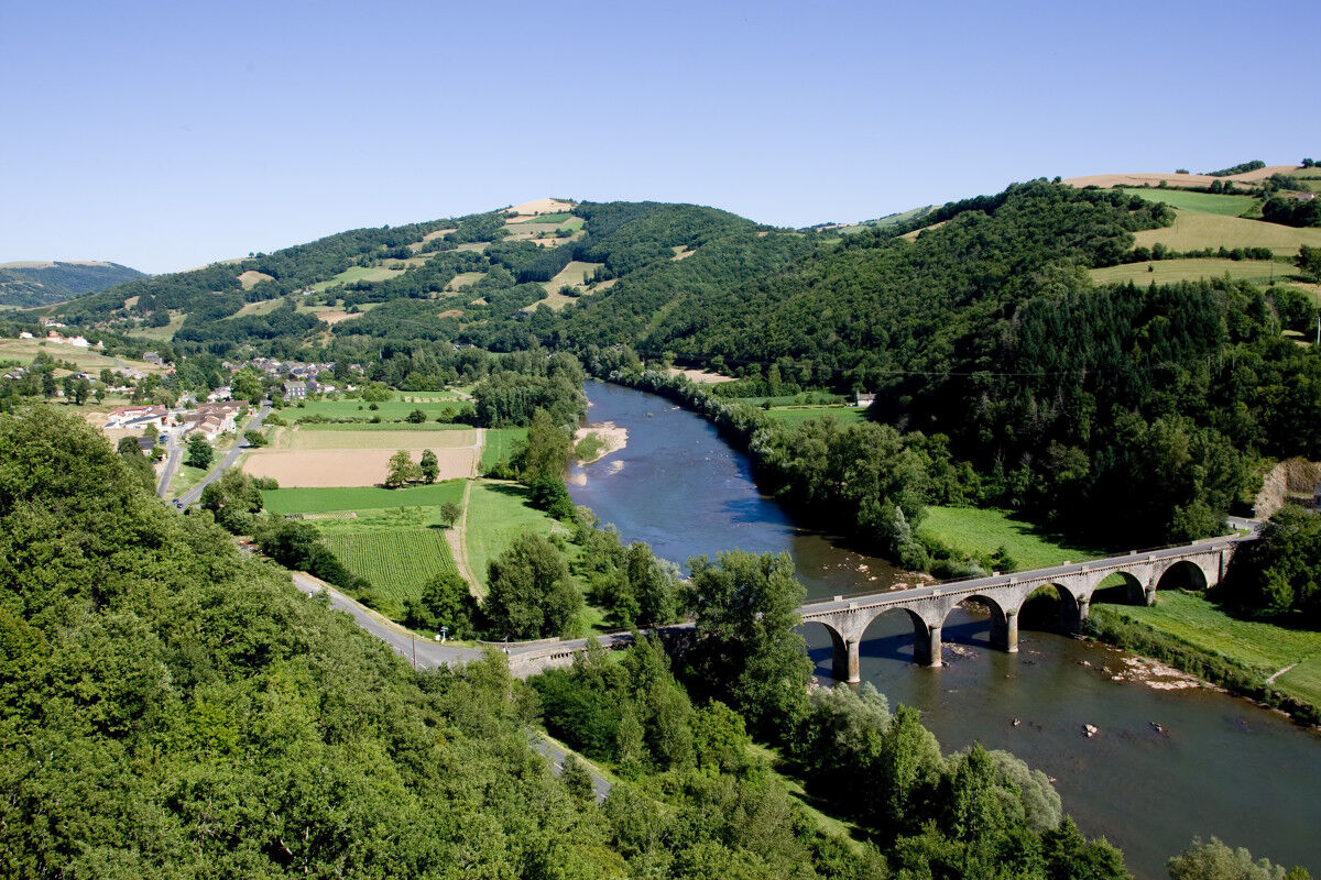
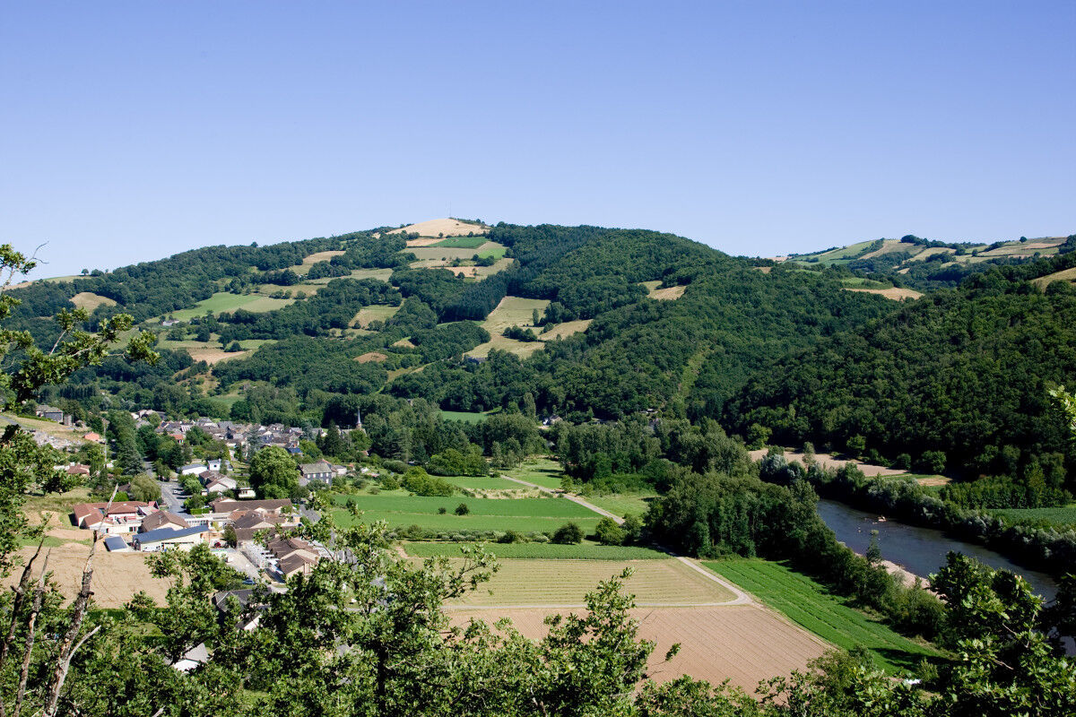
In the heart of the Tarn Valley, the river Tarn cuts a deep hole. As it meanders, it creates spectacular landscapes, making you forget the plateau that is so close by. In Trébas, water is everywhere, from the river which sometimes wanders through the village, to the numerous springs and streams which end their course there, to the heart of the history of Trébas-les-Bains through its thermal baths.
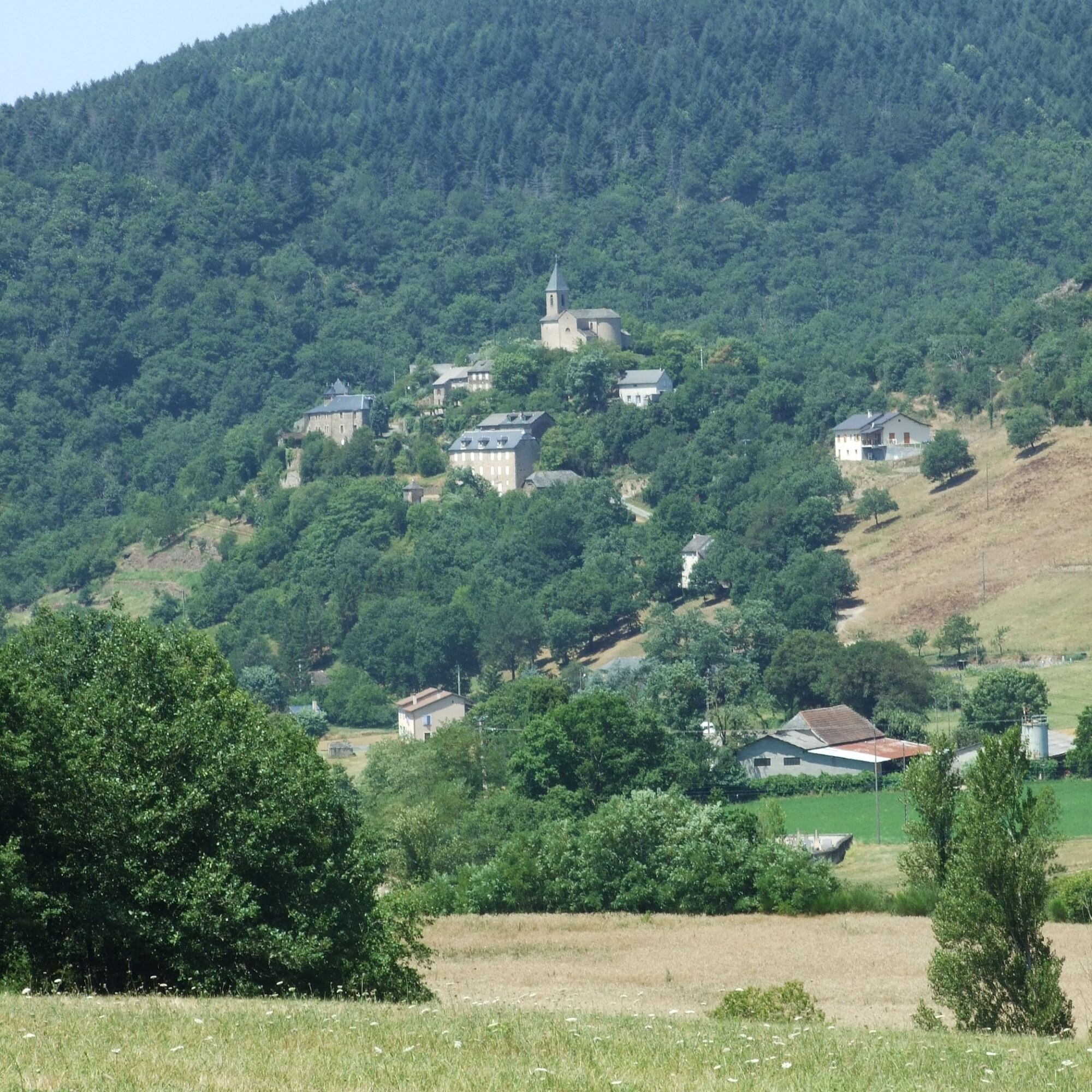
The Sentier des Sources is an invitation to calm and freshness, following the path of historical relics and a remarkable natural and landscape heritage, water remains the link throughout the walk. The intimate and wooded atmosphere of the sunken paths, ponds and springs on the slopes
contrast with the wide views from the heights over the valley and its picturesque villages.
The richness of the fauna and flora of the upper Tarn Valley has earned it recognition as one of the department's Sensitive Natural Spaces.
The Sentier des Sources is an invitation to calm and freshness, following the path of historical relics and a remarkable natural and landscape heritage, water remains the link throughout the walk. The intimate and wooded atmosphere of the sunken paths, ponds and springs on the slopes
contrast with the wide views from the heights over the valley and its picturesque villages.
The richness of the fauna and flora of the upper Tarn Valley has earned it recognition as one of the department's Sensitive Natural Spaces.
Trasa
Trébas
(223 m)
Wioska
0,1 km
L'Oustal
(221 m)
Restauracja
0,9 km
Source Assié
(242 m)
Źródło
1,4 km
Trébas
(223 m)
Wioska
6,8 km
Trasa
Path of the Springs
światło
Wędrówka
6,93
km
Trébas
(223 m)
Wioska
0,1 km
L'Oustal
(221 m)
Restauracja
0,9 km
Source Assié
(242 m)
Źródło
1,4 km
Trébas
(223 m)
Wioska
6,8 km
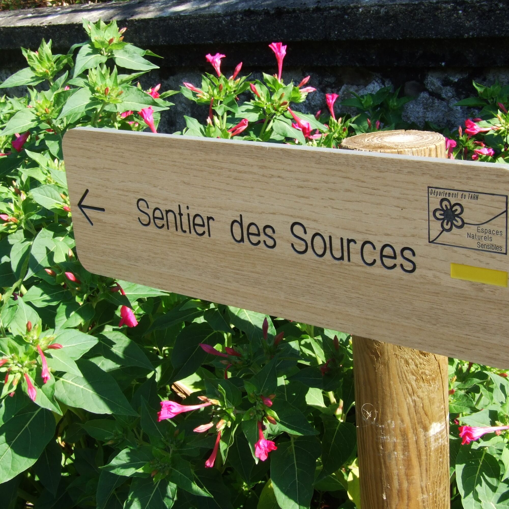
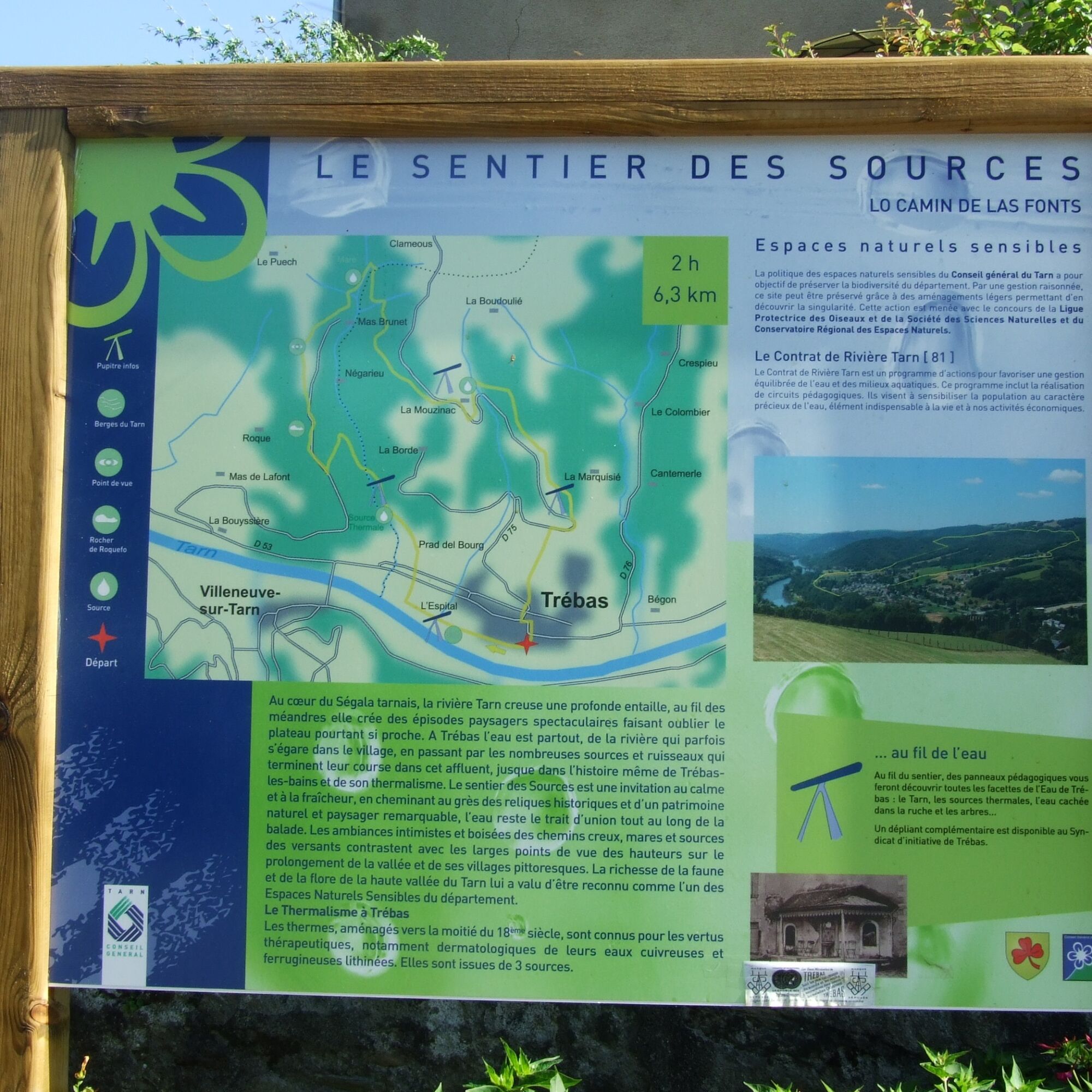
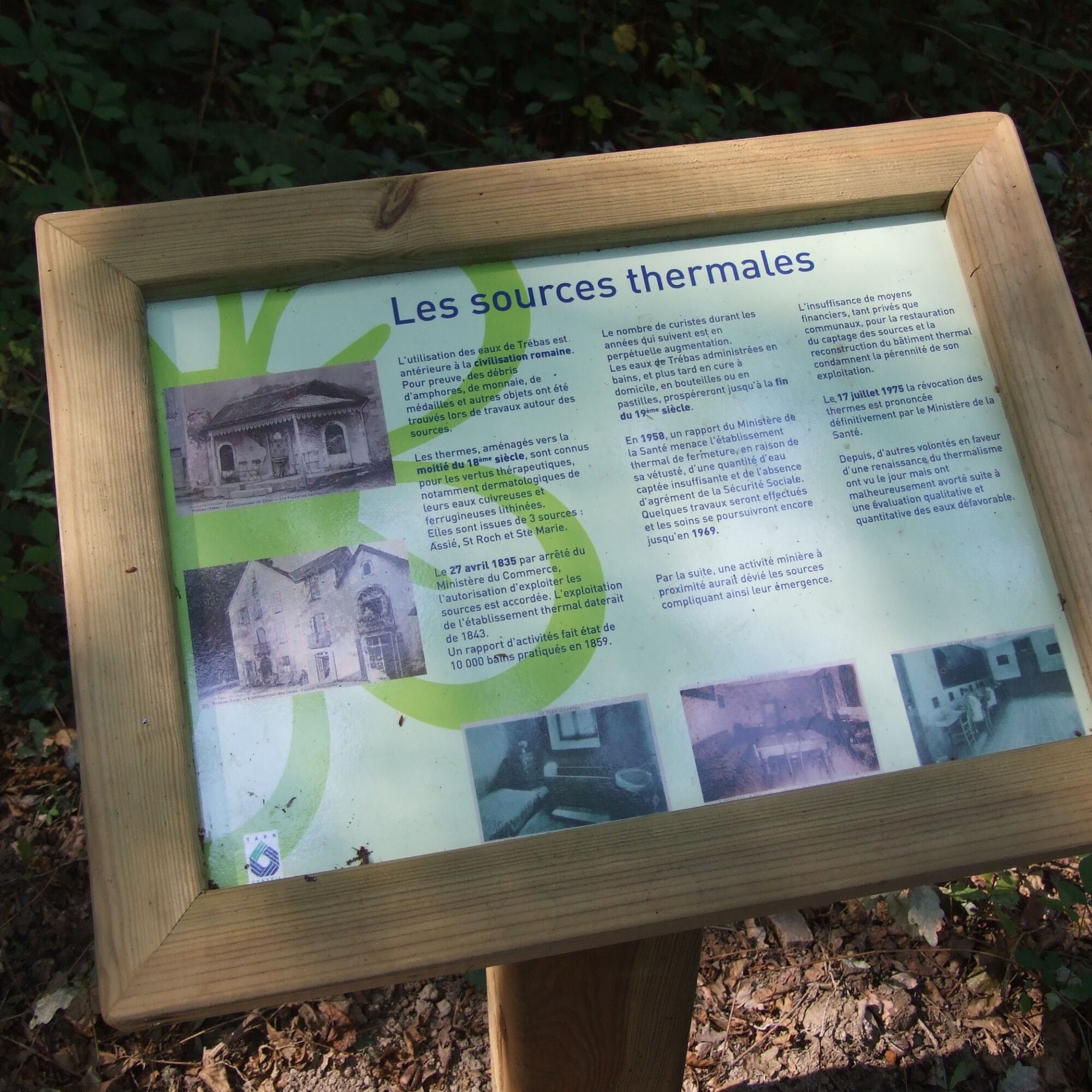

Dodatkowe informacje i wskazówki
Dodatkowe informacje
APIDAE Tourism data updated on 03/13/2023 by "Tourism Office Vallée du Tarn & Monts de l'Albigeois".
An error on this record? Write to the owner with these references:
Record name: Spring Trail | Record ID: 852609 | URL (link) of this Outdooractive page.
An error on this record? Write to the owner with these references:
Record name: Spring Trail | Record ID: 852609 | URL (link) of this Outdooractive page.
Nie ma jeszcze recenzji
Popularne wycieczki w okolicy
-
Corniches du Tarn
średniWędrówka 9,13 km -
Le Sentier de Calle
światłoWędrówka 7,19 km -
Camin de Comba Granda
średniWędrówka 11,2 km -
Des Éoliennes aux Moulins
światłoWędrówka 5,50 km -
Sentier des Cabannes
światłoWędrówka 8,49 km -
Tour du Tarn riding: Ambialet / Alban
ciężkiJazda konna 26,0 km -
GR36 ® - Crossing Tarn from North to South
ciężkiWędrówka 236,1 km -
L'Ambialade, sentier du patrimoine
światłoWędrówka 3,94 km -
Bonneval
ciężkiWędrówka 16,1 km -
The meander of Marsal
światłoWędrówka 6,66 km

Wędrówki i tropienie

Ponad 550.000 propozycji wycieczek, szczegółowe mapy i intuicyjny planer tras sprawiają, że aplikacja jest niezbędna dla wszystkich entuzjastów przyrody.

Nie przegap ofert i inspiracji na następne wakacje
Zapisz się do newslettera
Błąd
Wystąpił błąd. Spróbuj ponownie.
Dziękujemy za rejestrację
Twój adres e-mail została dodana do listy mailingowej.
Wycieczki po całej Europie
Austria
Szwajcaria
Niemcy
Włochy
Słowenię
Francja
Holandia
Belgia
Polska
Liechtenstein
Czechy
Słowacja
Hiszpania
Chorwacja
Bośnia i Hercegowina
Luksemburg
Andorra
Portugalia
Islandia
Wielka Brytania
Irlandia
Grecja
Albania
Macedonia Północna
Malta
Norwegia
Czarnogóra
Mołdawia
Kosowo
Węgry
San Marino
Rumunia
Estonia
Łotwa
Białoruś
Cypr
Litwa
Serbia
Bułgaria
Monako
Dania
Szwecja
Finlandia





