


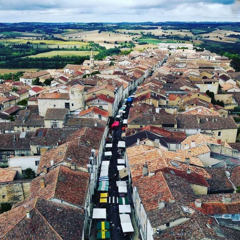
Lectoure - route no. 1 - e-bike
Poziom trudności: 3
Go down the main street heading West and then go around the ramparts via the northern boulevard. Take the small Tané road to see the Pyrenees on clear days.
Cross the village to take the country path and...
Go down the main street heading West and then go around the ramparts via the northern boulevard. Take the small Tané road to see the Pyrenees on clear days.
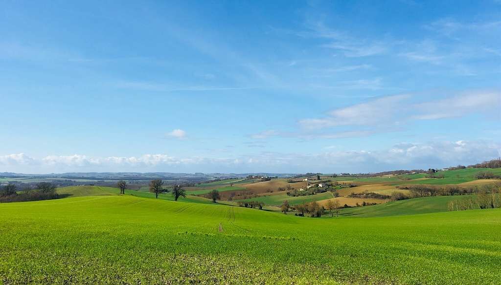
Cross the village to take the country path and you will arrive in the small Auroue valley. Follow the river to reach the foot of the village of Isle Bouzon.
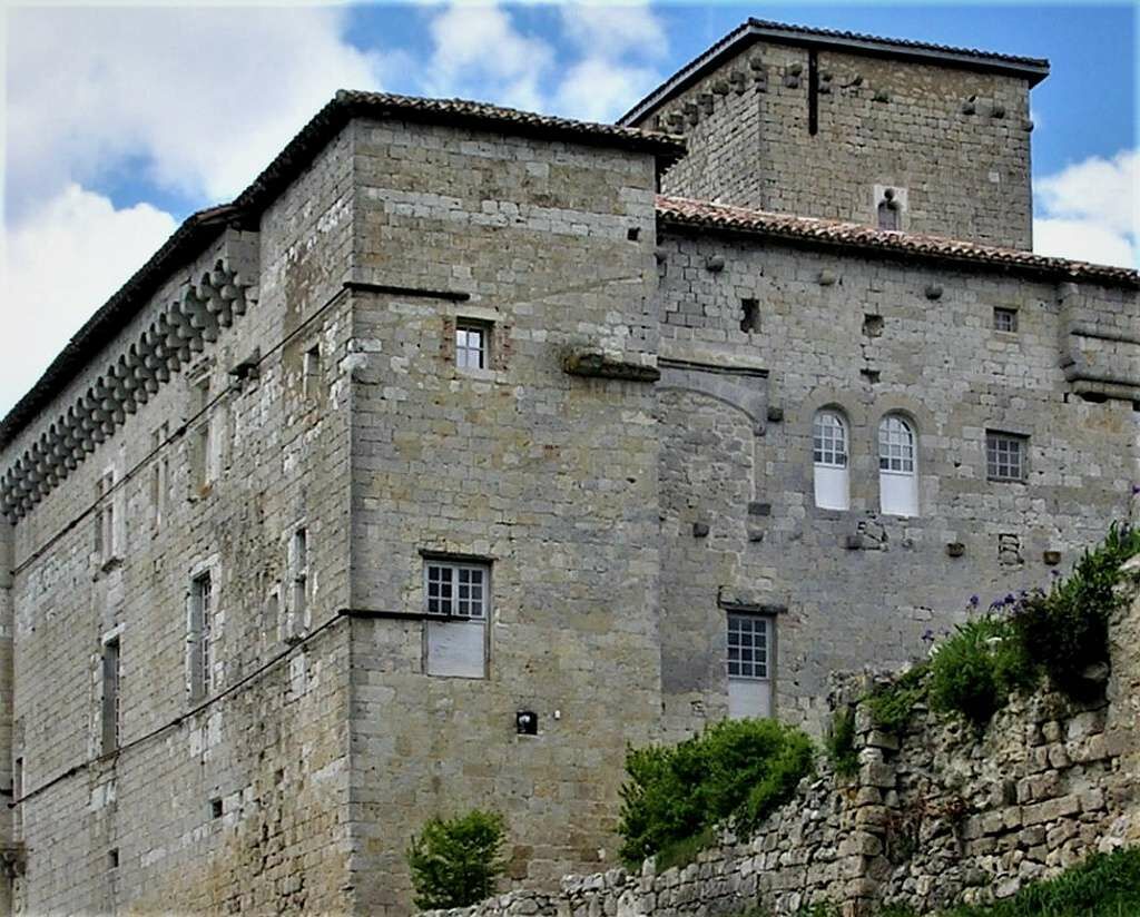
On the climb to the left, down below: a listed washhouse and a little further on a 16th century dovecote. On the plateau, we reach the village of Plieux with its 14th century Gascon castle.
Descend back into the valley to reach Castet-Arrouy, a must-see stop on the way to Saint James of Compostela. Before heading back to Lectoure, take the time to stop in its small church.
In case of emergency, call 112
Parking near the starting point
3
To learn more about the destination, visit our website Pays Portes de Gascogne
Popularne wycieczki w okolicy
-
Artistic Route (EAB): "About." Cycles and letters in Lomagne
średniJazda na rowerze 51,4 km -
Bike ride in Lectourois – Lectoure
ciężkiJazda na rowerze 88,6 km -
Vélo Pour Tous à Lectoure
światłoJazda na rowerze 8,60 km -
Lectoure - In the footsteps of the pilgrims
średniMountainbike 34,7 km -
Entre Arratz et Auroue en coteaux de Lomagne
średniJazda na rowerze 30,7 km -
Lectoure - medieval Lomagne
średniMountainbike 19,6 km -
Vélo Pour Tous à Fleurance
światłoJazda na rowerze 14,3 km -
Saint-Clar - The Auroue loop
światłoMountainbike 21,2 km -
La Romieu - En passant par l'Auvignon
światłoMountainbike 13,3 km -
Au pays de l'ail de Lomagne – Saint Clar
średniDroga rowerowa 58,3 km
Wędrówki i tropienie


Nie przegap ofert i inspiracji na następne wakacje
Twój adres e-mail została dodana do listy mailingowej.