


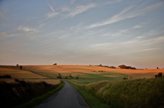
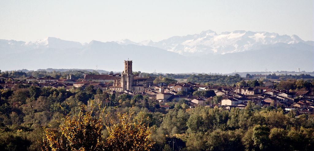
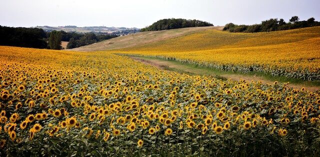
The Gimone and its villages
Distance: 43.00 km
Total elevation gain in meters: 516 m
From the Gimont Tourist Office, cross the boulevard to go up rue des Pénitents blancs to rue des écoles. Take it to the right and go down to rue du Couvent.
Turn left on rue du Couvent. Go up the street, cross rue Nationale and continue straight ahead to rue de la Combe du Midi. Cross it and go back up towards rue des Tuileries. Turn right and go down.
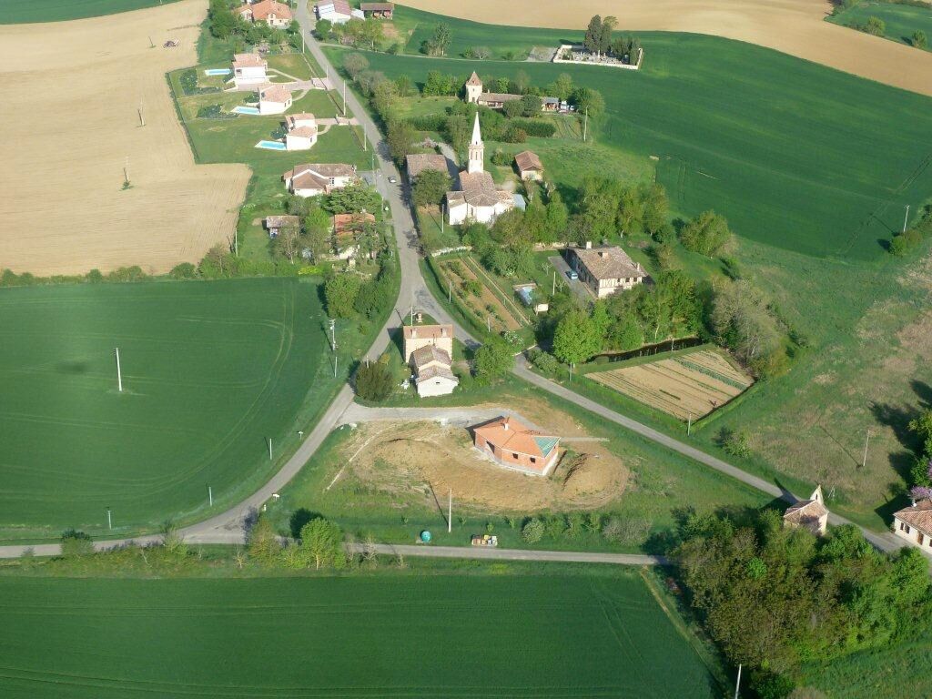
At the intersection, turn left on route de Montiron and continue straight ahead. Pass below the village of Montiron and continue.
Turn right and cross the two bridges to reach the D12.
Turn right on the D12 (direction Gimont).
At the third intersection on the left, turn towards Juilles.
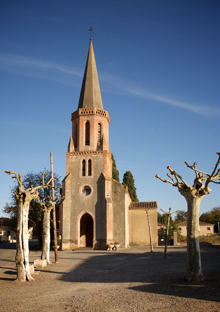
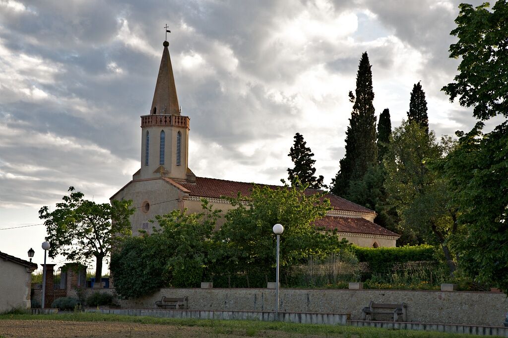
Cross the village, pass in front of the church and continue 1 km to turn left after passing through the middle of a farm.
Turn left and continue 1.5 km. At the intersection take right.
In the village of St Caprais, pass the St Roch chapel and go down to the D149. Travel 2 km.
Turn right towards Bédéchan. After 1 km, you arrive at the village.
Go in front of the town hall and pass the church to continue straight ahead. Go 1 km and join the D12.
Turn right on the D12 and go to the roundabout.
Turn left on the D149 and after the two bridges, turn left.
Continue straight ahead to the village of Aurimont. Turn right and cross the village. Continue straight on the D217 to St André. Continue straight to the D4 and turn left.
Turn right towards Lahas.
In the village of Lahas, take a left at the intersection.
The road then splits into two in a “Y,” do not follow Maurens but continue straight. Join the D4. Turn left on the D4. Take the first right on VC7. At the intersection, turn left.
At the next intersection, turn right on route de Montiron to reach Gimont and go back up rue Nationale.
At rue Antonin Carles, turn left. Go down the street and cross boulevard du Nord. You are back at the Gimont Tourist Office.
Before setting off:
Make sure the bike is in perfect mechanical condition, including tires and brakes Adjust the bike properly to fit your body shape Wearing a helmet is strongly recommended Bring a repair kit Ensure your smartphone battery is fully charged Remember that traffic laws apply to cyclists at all times Never ride more than two abreast and move into a single file when traffic conditions require it Respect other road users as you would like to be respected Choose a route suitable for your physical abilities Inform people around you of your itinerary Check the weather conditions A first aid kit is not essential but can be very useful Find out and keep the emergency contact numbers Respect the environment by not throwing food wrappers on the roadside If you need to return at nightfall, make sure you can see and be seenIn case of emergency, call 112
Access to Gimont by train (Toulouse-Auch line) or Lio bus
Free parking
Popularne wycieczki w okolicy
Artistic Itinerary (e-bike): "Lines of Escape". Perspectives between Save and Gimone
ciężkiJazda na rowerze 53,2 kmDiscovery route of the Artistic Routes on the Arrats-Gimone hillsides
światłoJazda na rowerze 11,1 kmDe rivières en coteaux
średniDroga rowerowa 79,3 kmGimone and Arrats with e-bike
średniJazda na rowerze 41,8 kmGimont - Villages et collines.
średniJazda na rowerze 17,4 kmVélo Pour Tous en Savès
światłoDroga rowerowa 6,95 kmArtistic Route (EAB): "In Sight" - Parallels between Arrats and Gimone
średniJazda na rowerze 58,8 kmItinéraire Artistique (VAE) : "Crêtes et arêtes" - En Couleurs Sur Les Coteaux Du Savès
Jazda na rowerze 39,7 kmAt the gates of Gascony
średniJazda na rowerze 60,3 kmFrom bastides to castelnaux – Gimont
ciężkiDroga rowerowa 87,0 km
Wędrówki i tropienie


Nie przegap ofert i inspiracji na następne wakacje
Twój adres e-mail została dodana do listy mailingowej.