







Grand MTB Tour of the Thoré Valley
At the gates of Mazamet, between Castres and Béziers, the Upper Thoré Valley is a true green jewel. Located in the heart of the Haut-Languedoc Regional Natural Park, it will surprise hikers with its heritage...
At the gates of Mazamet, between Castres and Béziers, the Upper Thoré Valley is a true green jewel. Located in the heart of the Haut-Languedoc Regional Natural Park, it will surprise hikers with its heritage treasures and the magic exuded by the Black Mountain. Where the oceanic mildness meets the Mediterranean warmth, paths, trails, and logging roads intersect forests, streams, and rivers. The Passa Païs greenway, for its part, allows you to meet locals with the melodious accent of the southwest.

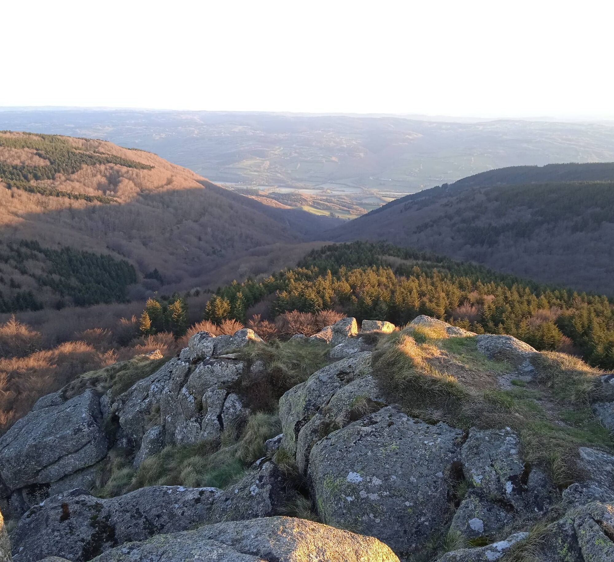

At the gates of Mazamet, in the heart of the Upper Thoré Valley, you begin your journey between wild nature and authentic villages. From the edges of the Passa Païs greenway, you set off on paths lined with forests, streams, and small stone bridges. Soon, you reach more technical trails winding through beech and fir groves, lulled by the murmur of rivers. In the background, the Black Mountain reveals its breathtaking panoramas and hidden treasures. You cross hamlets and wooded ridges, in perfect balance between physical effort and wonder. At every turn, a discreet heritage is revealed: stone walls, fountains, old mills… And when the light fades, the magic of Haut-Languedoc takes hold.
Difficult
Popularne wycieczki w okolicy
-
5,0
Les Escaunelles
światłoWędrówka 6,87 km -
Peyremaux rock
ciężkiWędrówka 13,3 km -
CAR TOURISTIC ROUTE - THE LAKE ROUTE
światłoMotorrad 129,1 km -
Au fil de l'Eau 6,5km / 2h30
ciężkiWędrówka 6,45 km -
Randonnée pédestre : Les Hauts de la Môle 13km / 3h30
ciężkiWędrówka 11,3 km -
Hiking: Les clairières de Sales
światłoWędrówka 8,46 km -
Sentier Randonnée du Patrimoine 13km / 3h30
światłoWędrówka 13,0 km -
Hiking: The Wibault route
ciężkiWędrówka 9,26 km -
Randonnée VTT Le Lac par l'Orée du Bois
ciężkiMountainbike 26,9 km -
La balade Monteliote
ciężkiWędrówka 13,0 km
Wędrówki i tropienie


Nie przegap ofert i inspiracji na następne wakacje
Twój adres e-mail została dodana do listy mailingowej.





