







THE GARDIOLE MOUNTAIN BIKE EXPERTS

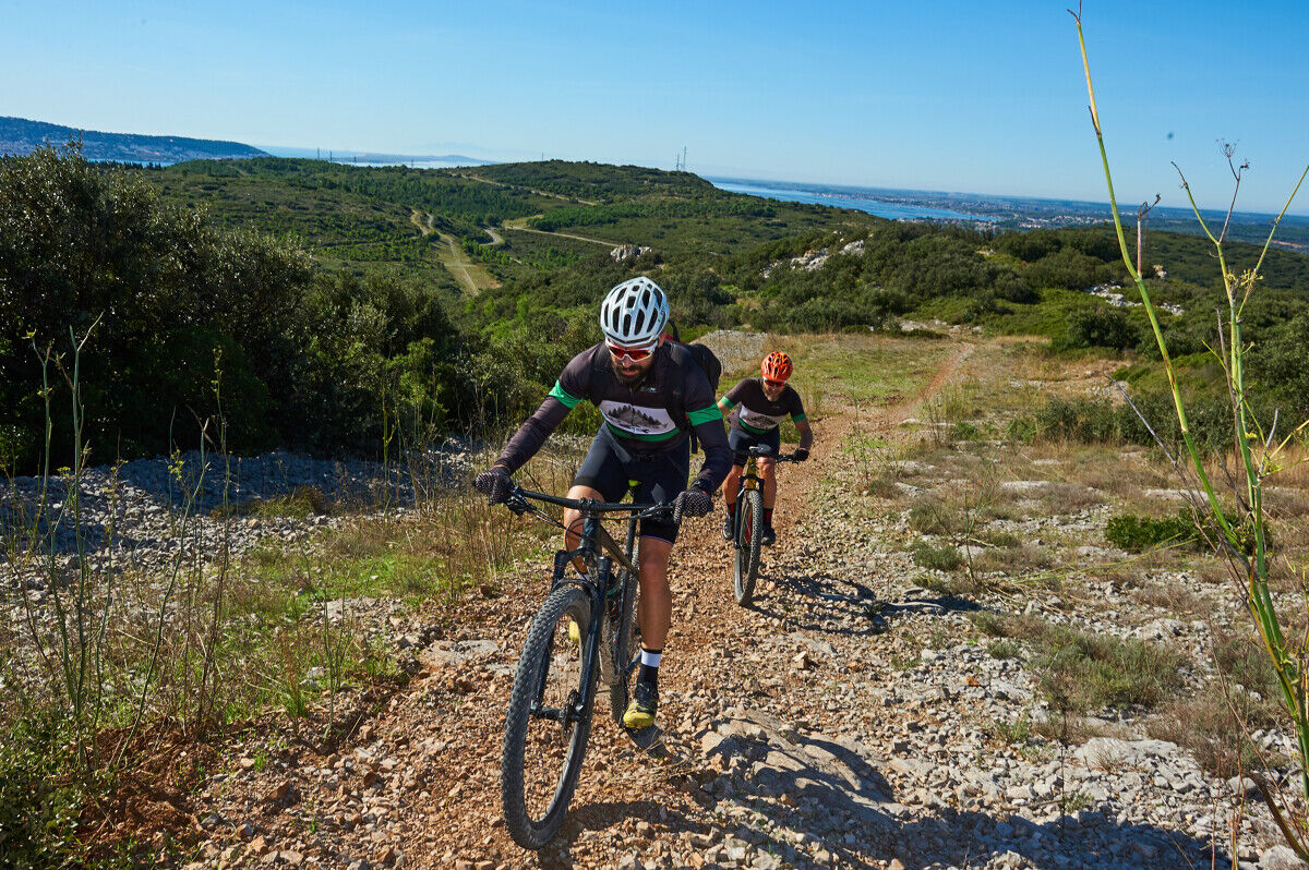
If you want to challenge yourself, come and test our 50km of mountain bike routes in the heart of the Massif de la Gardiole.


1
Entrance from Mireval Departure from Mireval is via a communal parking lot near the Muscat cooperative cellar. From the village center, one of the highlights is the Eglise Sainte Eulalie de Mérida, a curious church set into the urban fabric, with a facade dominated by a "bell tower-porch" flanked by two stair turrets and two side doors.
2
The Col de la Tortue entrance between Fabrègues and Vic-la-Gardiole Located at the top of Route Départementale 114, the Tortue parking lot is the main entrance to the Gardiole massif on the Montpellier side. A focal point of the massif for many activities, it is the starting point for a hiking trail featuring street-art on cisterns. Nearby are the Saumade sheepfold and a watchtower.
3
The Saumade sheepfold There are still 2 sheepfolds on the Gardiole. The bergerie Neuve and the bergerie de la Saumade, which for many years housed teams of ONF workers. It is now occasionally used for cultural and environmental events.
4
Mare Farlet A pond in the middle of the garrigue is an oasis. Sheep come here to drink, wild boar roll around in the mud, leaving footprints and fur, and dragonflies and amphibians breed here: marbled newts, common toads, spotted pelodytes. So why not take a break and observe this little world for yourself?
5
Abbaye Saint-Félix de Monceau The oldest and most important part of the abbey is Romanesque. It is built of cold stone. This is the hard grey limestone quarried locally on the Gardiole. The Gothic church, added later, is made of softer, warmer-tinted shell limestone from the Jalargues quarry in Cournonsec.
6
Reading the landscape towards the Fabrègues-Poussan plain Between the last slopes of the Massif de la Gardiole at your feet, and in the distance the hills of La Moure where the wind turbines are scattered, lies the plain, inhabited and cultivated. Imagine the fledgling Mediterranean, some 20 million years ago, moving into an arm of the sea, isolating La Gardiole and depositing sediments teeming with giant oysters and sharks' teeth. Until the First World War, this fertile plain was farmed by large landowners. Small farmers had taken over the arid slopes of La Gardiole, spiked their meagre plots and built low walls and dry-stone huts. Flocks of sheep roamed the garrigue. With the advent of cooperative winegrowing, the plains reverted to smallholders, vines dominated and the last plots of garrigue were abandoned.
7
DFCI tank To extinguish a fire, you need a bucket of water after 1 minute, and a fire engine after 10 minutes! These 30,000-litre tanks are used for rapid intervention. Water trucks fill them as they go along. On La Gardiole, some of the tanks have been graffitied with acrylic spray paint by an association of artists called Line up.
8
Roc d'Anduze The highest point in the massif, it rises to 234 meters and offers panoramic views of the surrounding area.
9
A landscape-reading table facing the Etang de Thau The Etang de Thau is the largest lake in the Occitanie region. It has a surface area of around 7,500 hectares and an average depth of 5 metres. Since ancient times, the pond has been a breeding ground for oysters and shellfish. From La Gardiole, the oyster beds stretch as far as the eye can see.
10
Rabassous cross The Rabassou cross is located at the top of the chemin des carrières (old road to Poussan). Its existence is attested by a document dating from 1679. A new cross was installed in 1997 and restored in 2017. Numerous capitelles can be found nearby.
11
Sports trail Commissioned in the 90s, this sports area has a natural surface and covers more than 6,000m².
https://www.agglopole.fr/bougerdecouvrir/se-divertir/les-sentiers-de-randonnee-et-circuits-vtt
Country trails
Popularne wycieczki w okolicy
-
5,0
MOURE HILLS HIKE
średniWędrówka 13,1 km -
4,0
BALCONS DE THAU HIKE
światłoWędrówka 7,04 km -
RANDONNEE DES SALINES
średniWędrówka 16,0 km -
RANDONNEE DES ARESQUIERS
światłoWędrówka 9,85 km -
SAINT-FELIX EN GARDIOLE HIKE
średniWędrówka 13,7 km -
CIT'ART HIKE THE BELVEDERES OF LA GARDIOLE
średniWędrówka 13,1 km -
ACCESSIBLE ROUTE - SAINT-FARRIOL JOËLETTE TRAIL
światłoWędrówka 2,90 km -
BALADE DES GUEULES ROUGES HIKING TRAIL
światłoWędrówka 6,16 km -
THAU WINE ROUTE IN THE MEDITERRANEAN
światłoMotorrad 128,5 km -
MEDIEVAL ROUTE BETWEEN POND AND VINEYARDS OF THE ARCHIPELAGO OF THAU
światłoMotorrad 27,4 km
Wędrówki i tropienie


Nie przegap ofert i inspiracji na następne wakacje
Twój adres e-mail została dodana do listy mailingowej.





