


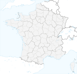


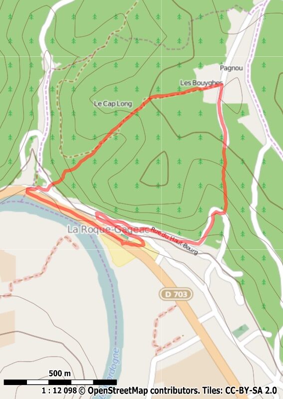
Boucle des Gabarres

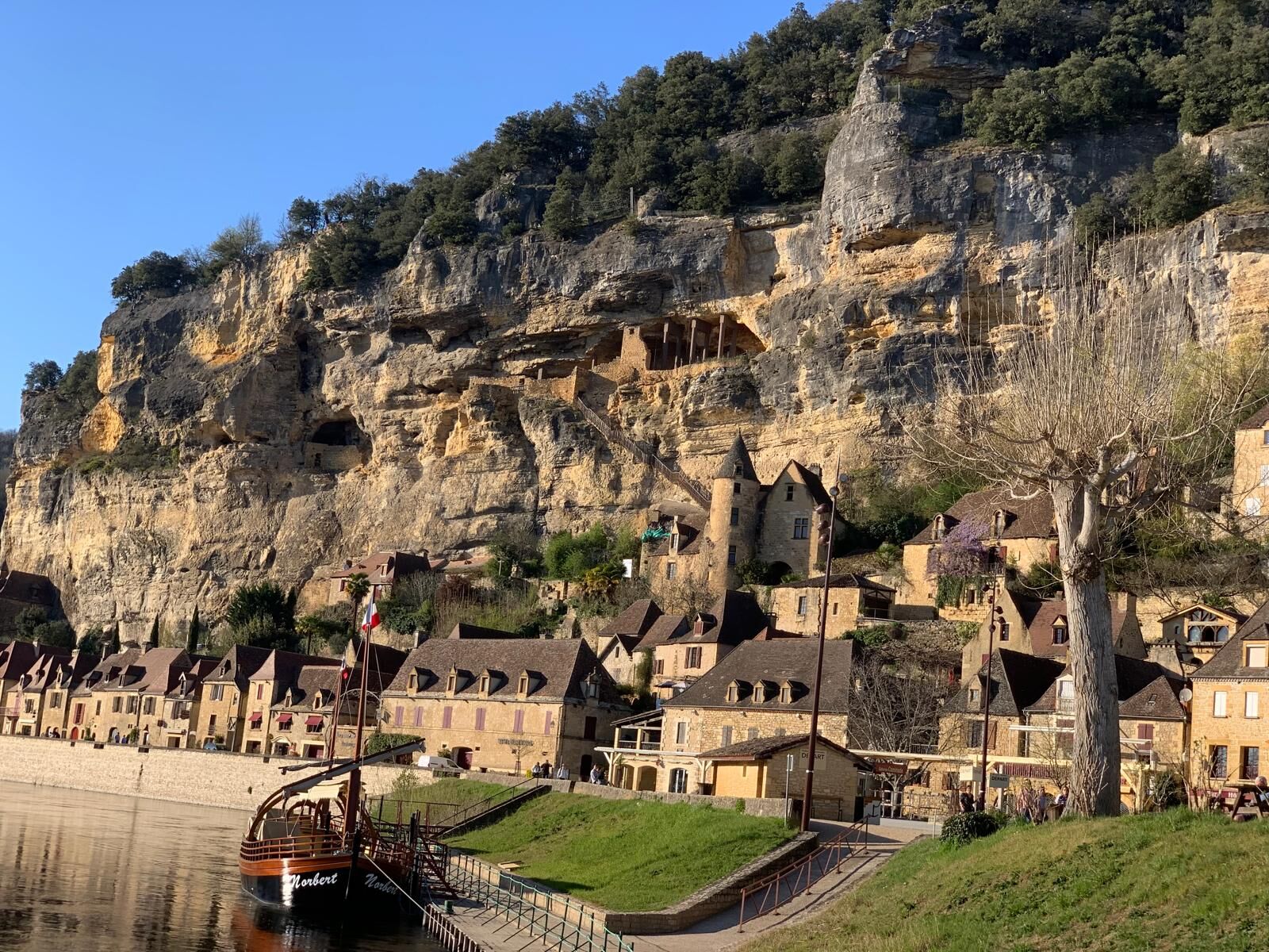
Discover one of the most beautiful villages in France, a former possession of the Bishops of Sarlat, La Roque Gageac was entirely fortified with its troglodytic fort, its castle, of which some remains...
Discover one of the most beautiful villages in France, a former possession of the Bishops of Sarlat, La Roque Gageac was entirely fortified with its troglodytic fort, its castle, of which some remains can still be seen, and its narrow streets. A very important fluvial activity and a certain softness of life made of the village one of the most popular places of holiday of the area. Take the street that starts at the post office and let yourself be overwhelmed by the beauty of the place. Next to the timid 15th century church carved in the rock, a tropical garden is blooming. This exotic garden is open to visitors all year round, where you will find banana trees, lemon trees, pomegranate trees, etc. From there you can visit the troglodytic fort, which has been under renovation since 1992, and admire the panorama of the Dordogne.



Tak
Preferite il carpooling
Parking nearby
Dordogne-Périgord le Département
Yellow

Popularne wycieczki w okolicy
-
Boucle de Montfort
światłoWędrówka 7,85 km -
Boucle La Salamandre
światłoWędrówka 5,57 km -
Trail de la Vallée
średniTrailrunning 14,9 km -
Boucle La Combe du Loup
światłoWędrówka 12,9 km -
Boucle de Saint Quentin
średniWędrówka 14,0 km -
Boucle de Saint Quentin
średniMountainbike 14,0 km -
Boucle de Montfort
światłoMountainbike 7,85 km -
Boucle des Cygnes Noirs
średniWędrówka 2,72 km -
5,0
Jardins et villages du Sarladais
ciężkiJazda na rowerze 53,1 km -
Boucle des feuillardiers
światłoWędrówka 5,24 km

Wędrówki i tropienie


Nie przegap ofert i inspiracji na następne wakacje
Twój adres e-mail została dodana do listy mailingowej.


