







La Sauve-Majeure grande boucle
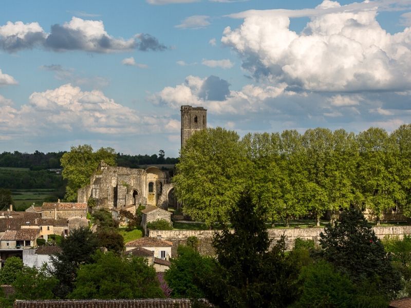
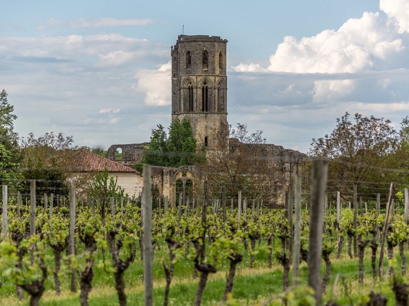
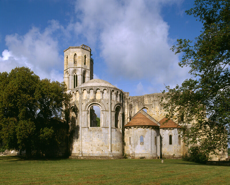
Founded in 1079 by the Duke of Aquitaine and Gérard de Corbie, it shelters, at its peak, some 300 monks. Ruined and abandoned at the end of the 18th century, it was listed as a historic monument in 184...
Founded in 1079 by the Duke of Aquitaine and Gérard de Corbie, it shelters, at its peak, some 300 monks. Ruined and abandoned at the end of the 18th century, it was listed as a historic monument in 1840.
In December 1998, the abbey was classified as a UNESCO World Heritage Site on the Road to Santiago de Compostela in France.
The route first goes north of the village towards the Lapébie greenway before returning there for a loop to the south.

In case of emergency, dial 112
Consider carpooling
Parking near the starting point
OT de l'Entre-deux-Mers
Popularne wycieczki w okolicy
-
Boucle Saint Caprais-de-Bordeaux/ Quinsac/ Cambes
średniWędrówka 11,6 km -
Boucle "Entre Garonne et Vignes"
światłoWędrówka 8,05 km -
Boucle Tabanac/ Le Tourne
średniWędrówka 10 km -
Boucle vélo: Entre vignes et Dordogne
światłoJazda na rowerze 30,4 km -
Boucle vélo n°17 Baron
światłoJazda na rowerze 16,7 km -
Boucle vélo n°12 Sadirac - Langoiran
światłoJazda na rowerze 26,4 km -
Boucle vélo n°20 Romagne
światłoJazda na rowerze 17,8 km -
Boucle des Vaillants
średniWędrówka 12,9 km -
Saint-Emilion - Bordeaux par la piste Roger Lapébie
średniJazda na rowerze 49,7 km -
Boucle du Hérisson
światłoWędrówka 4,03 km
Wędrówki i tropienie


Nie przegap ofert i inspiracji na następne wakacje
Twój adres e-mail została dodana do listy mailingowej.





