


Chemin de Saint-Jacques-Compostelle par la Chapelle Saint-Jean-Baptiste de l’Hôpital
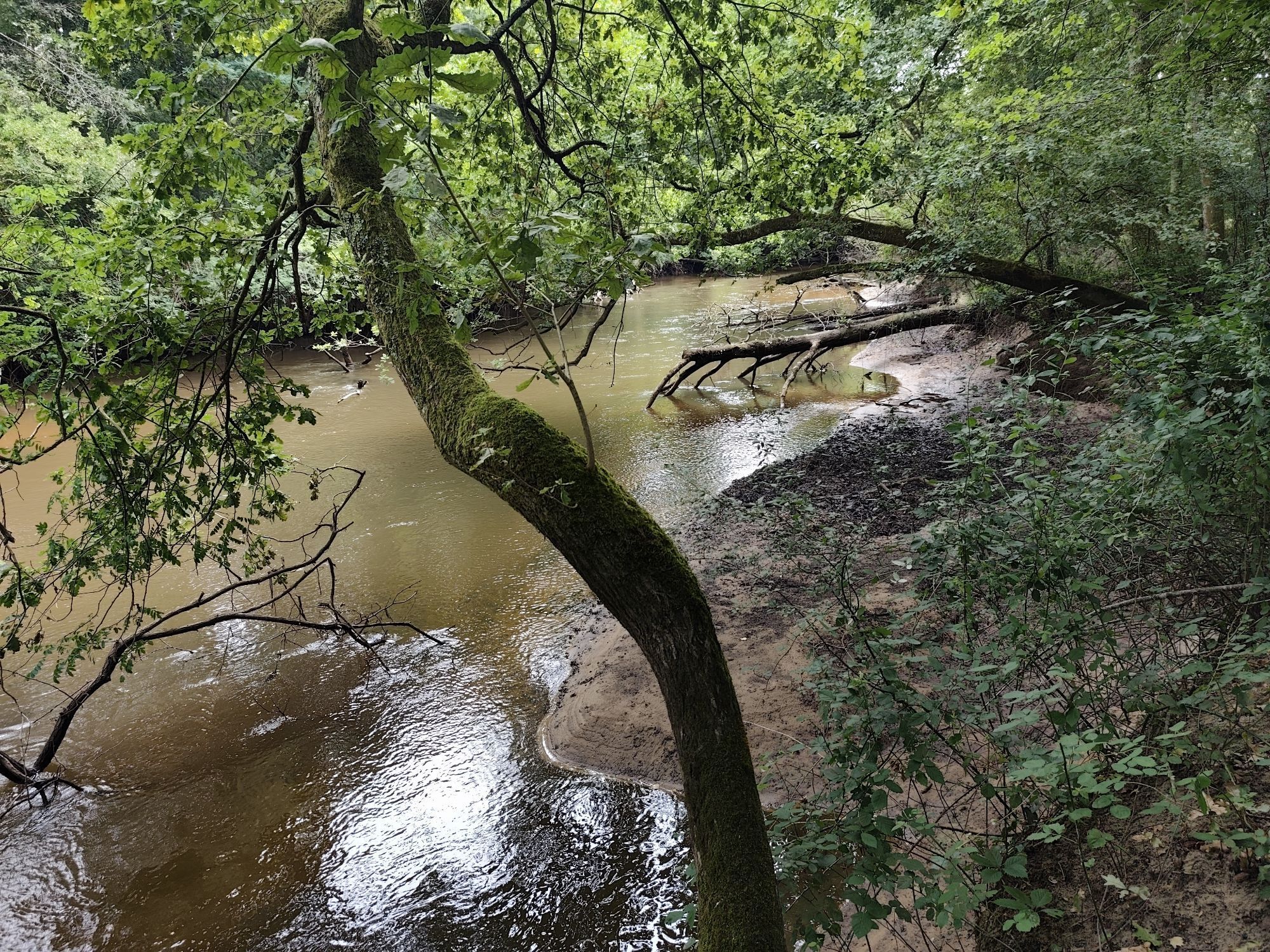
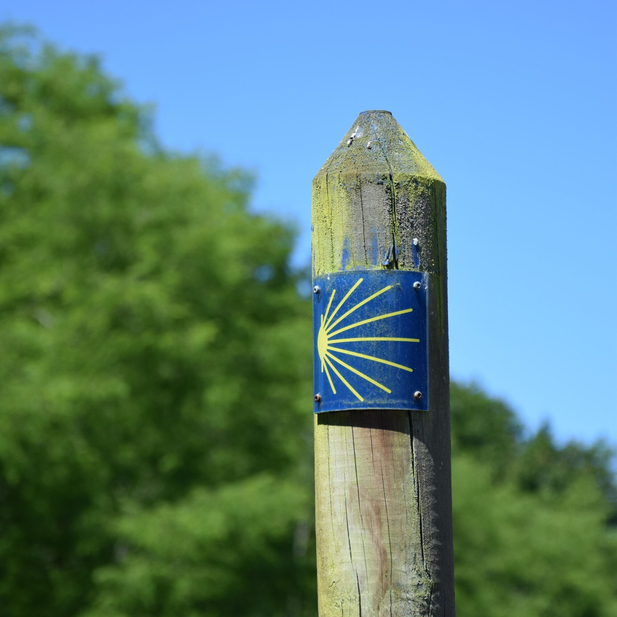
The "Variante de l'Hôpital", a historic section of the Soulac route, follows the route taken by the pilgrims of yesteryear in the Nord Médoc. Almost 1,000 years ago, thousands of pilgrims from northern...
The "Variante de l'Hôpital", a historic section of the Soulac route, follows the route taken by the pilgrims of yesteryear in the Nord Médoc. Almost 1,000 years ago, thousands of pilgrims from northern Europe landed at Soulac-sur-Mer on their way to Compostela, Rome or Jerusalem. After their devotions at Sainte-Véronique, they would head for the Hôpital de la Grayanès, where the Hospitallers of Saint-Jean-de-Jérusalem had founded a major commandery (the Order's 4th in France).
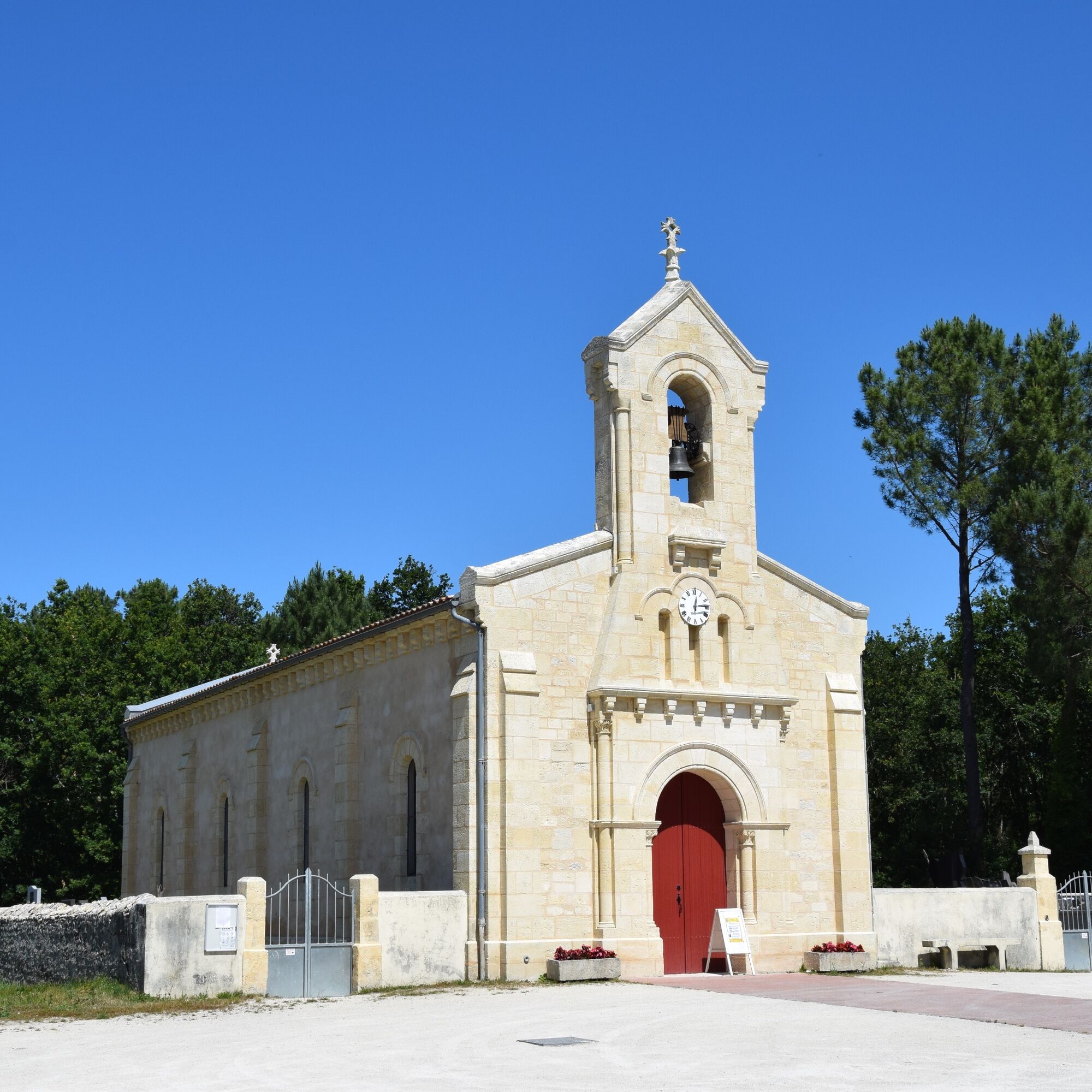
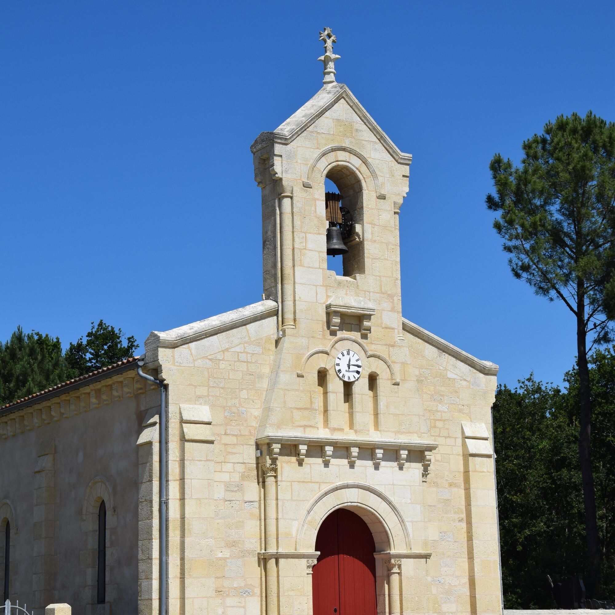
The chapel of Saint-Jean-Baptiste de L'Hôpital is the last witness to this.

Tak
In case of emergency, dial 112
Consider carpooling
Parking near the starting point
OT Médoc Atlantique
Popularne wycieczki w okolicy
- 4,0
Boucle découverte du Lion
światłoJazda na rowerze 17,4 km Le sentier de la Berle : un sentier naturellement fun !
światłoWędrówka 2,27 kmTour de Gironde à vélo : étape 9 - Lacanau Océan / Hourtin Plage
światłoJazda na rowerze 31,7 kmCache-cache en Médoc à Saumos
światłoWędrówka 1,30 kmBalade à roulettes : Lacanau centre - Impraticable
Wędrówka 0,96 kmRoute des 33 virages - D6E1
Motorrad 8,75 kmLe circuit des villas canaulaises
światłoWędrówka 2,47 kmLacanau-Océan - Carreyre - Le Moutchico - Green Parc
średniWędrówka 15,4 km- 4,0
Les Silènes - Résidence du Huga - Green Parc - Le Moutchico
światłoDroga rowerowa 40,2 km Lacanau - Lacanau-Océan
światłoRower szutrowy 15,7 km
Wędrówki i tropienie


Nie przegap ofert i inspiracji na następne wakacje
Twój adres e-mail została dodana do listy mailingowej.