
Boucle de l'Estuaire
Wędrówka
Pobierz tę trasę na swój telefon komórkowy
Boucle de l'Estuaire
Wędrówka
7,38
km
Zeskanuj kod QR i rozpocznij nawigację w aplikacji bergfex.


Wędrówki i tropienie





Boucle de l'Estuaire
Wędrówka
Odległość
7,38
km
Czas trwania
01:46
h
Ascent
11
hm
Poziom morza
2 -
15
m
Ścieżka do pobrania
Boucle de l'Estuaire
Wędrówka
7,38
km
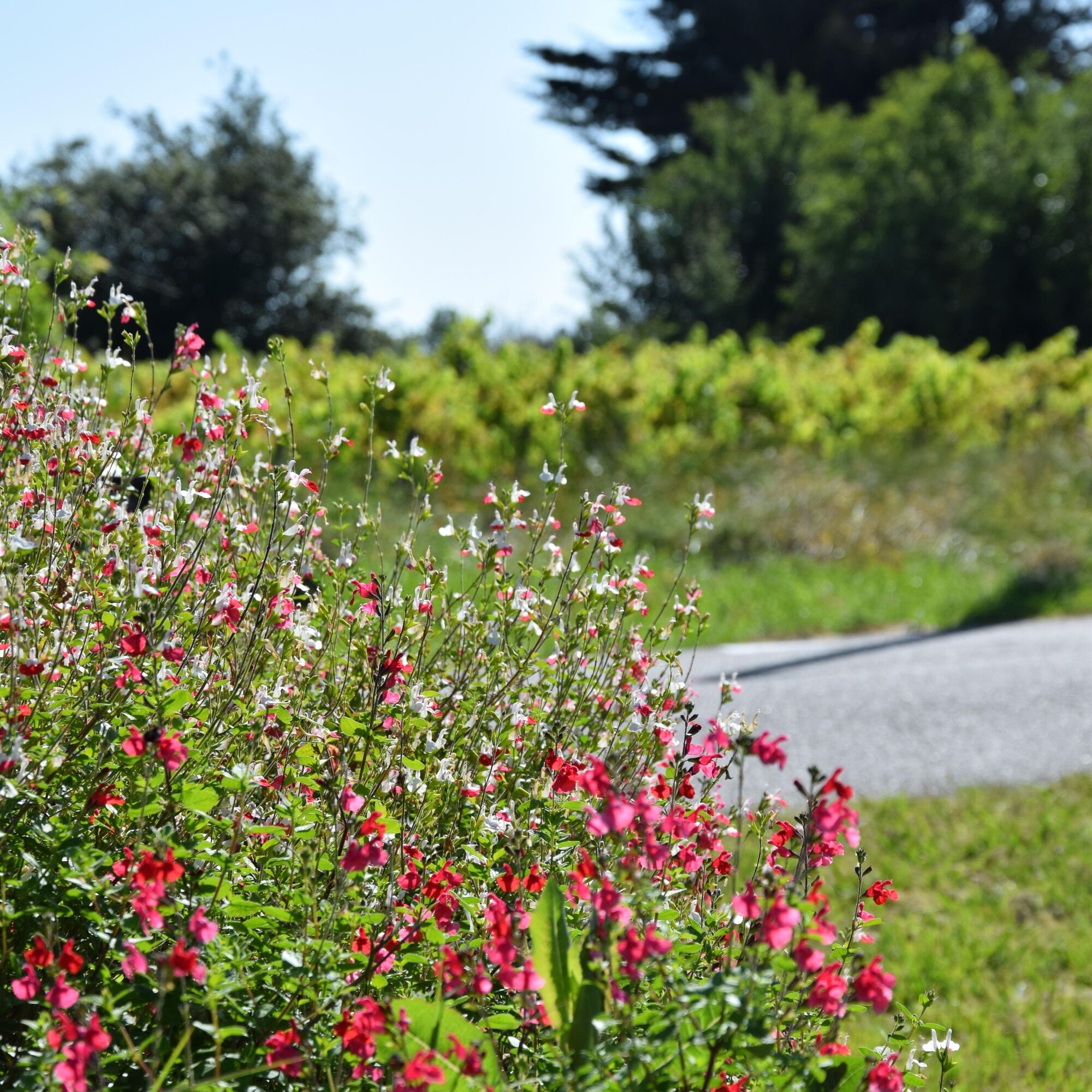
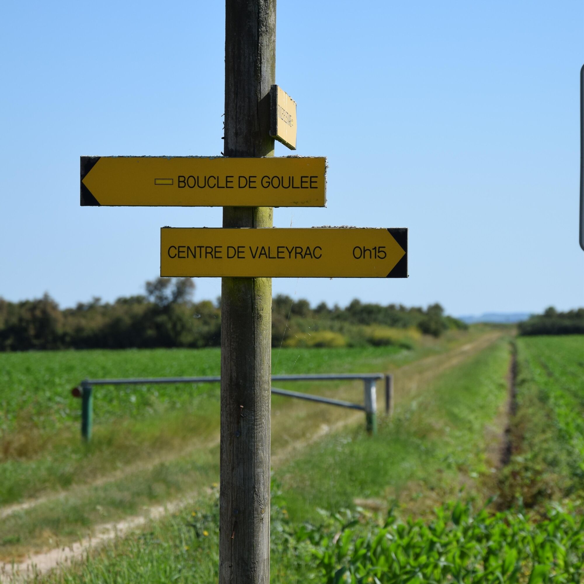
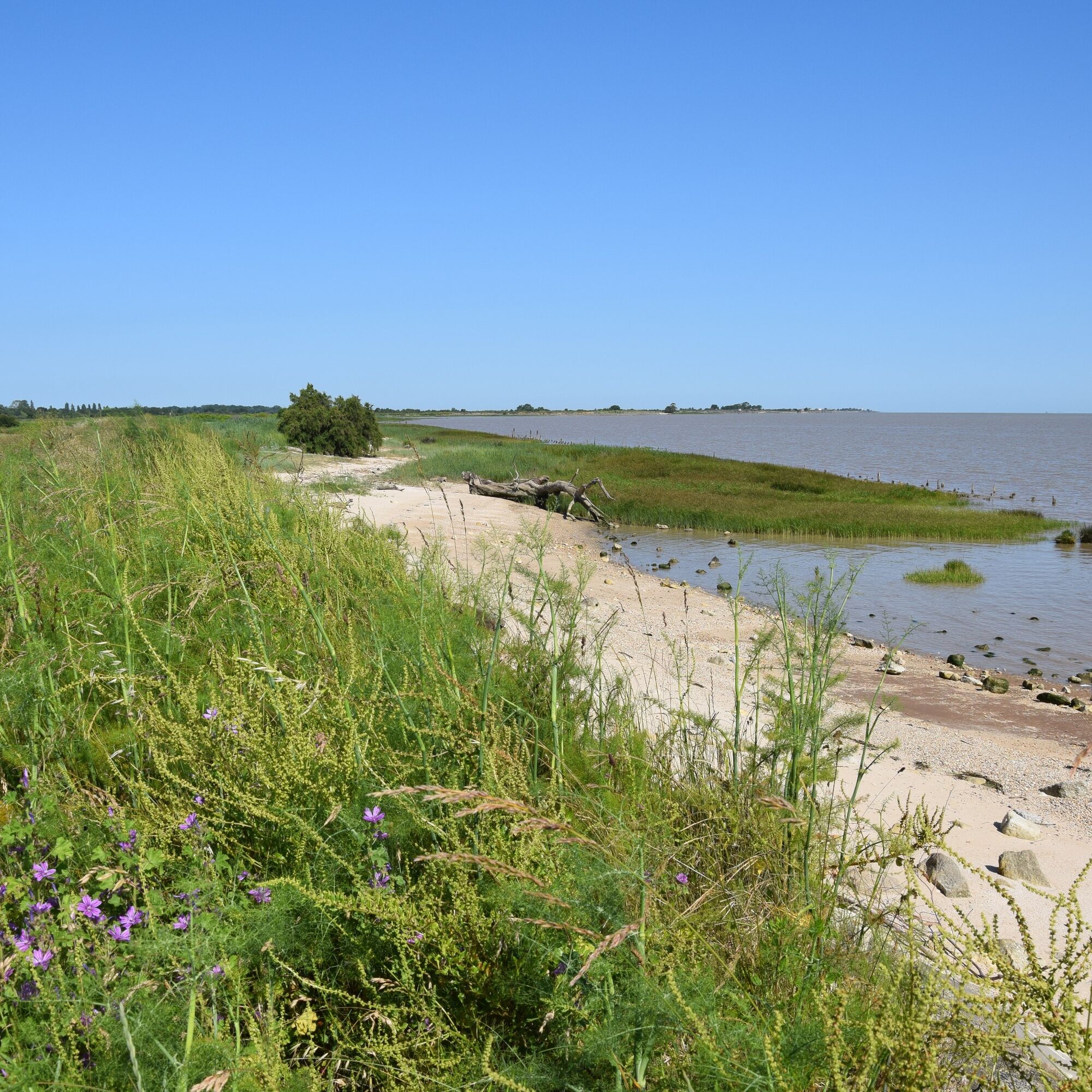
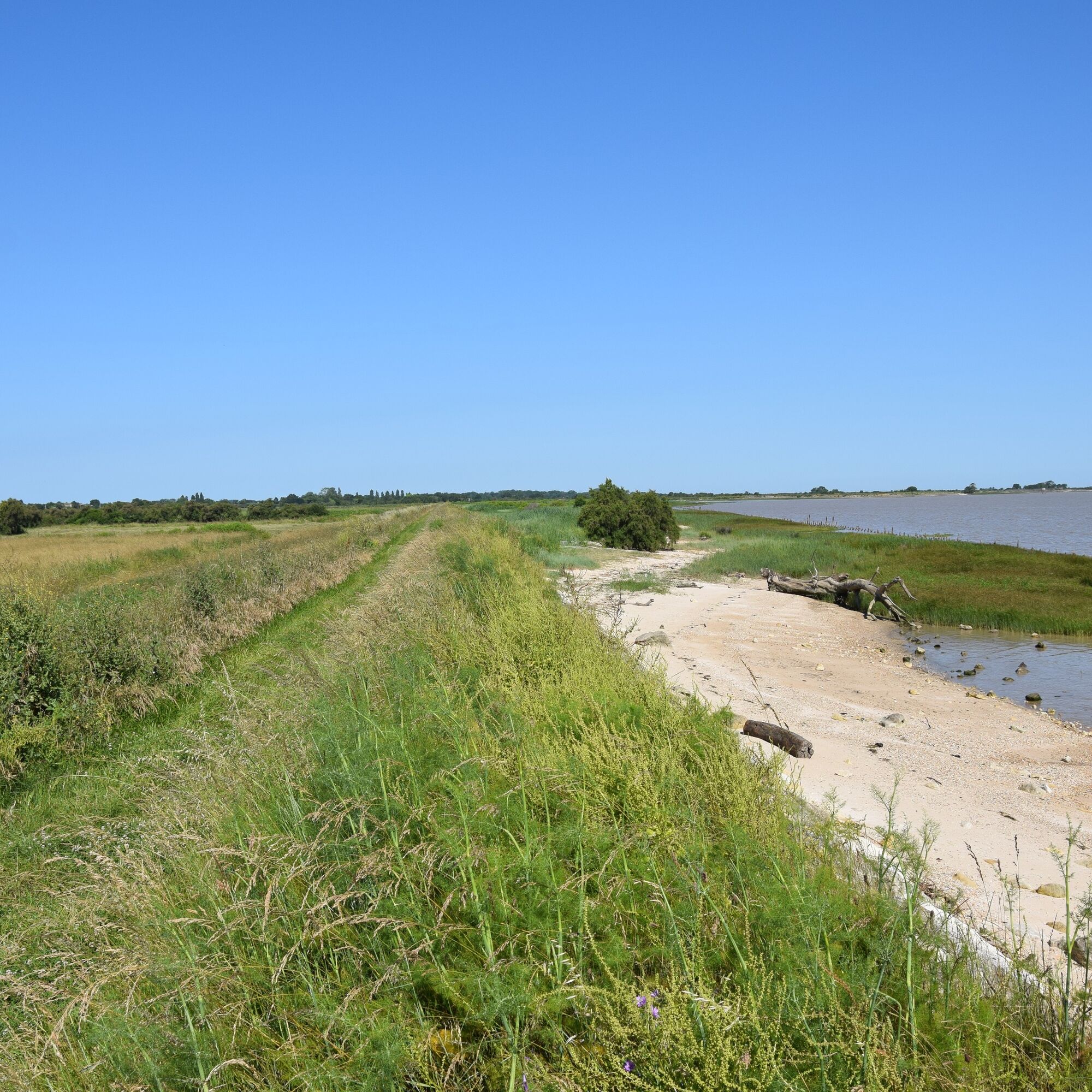
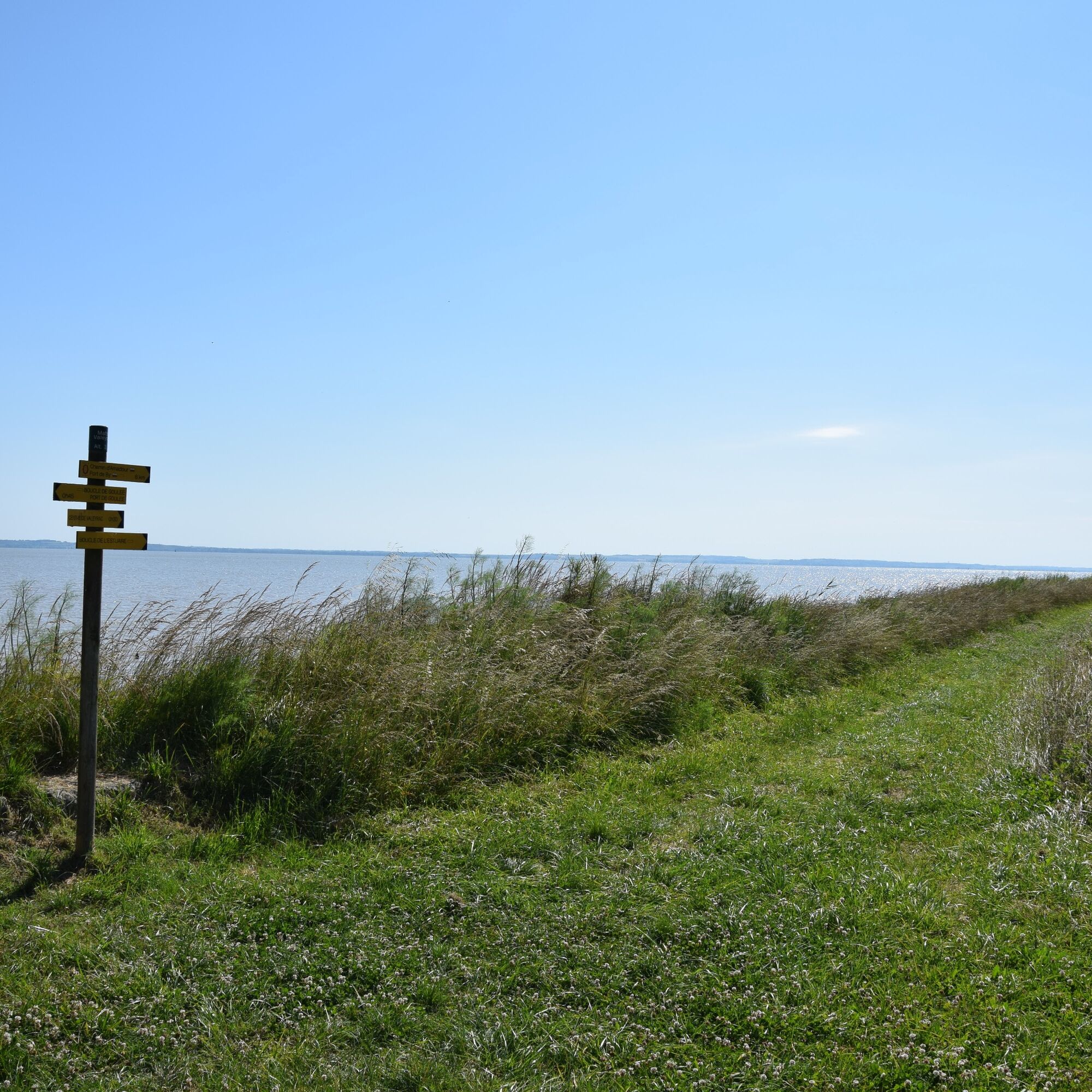
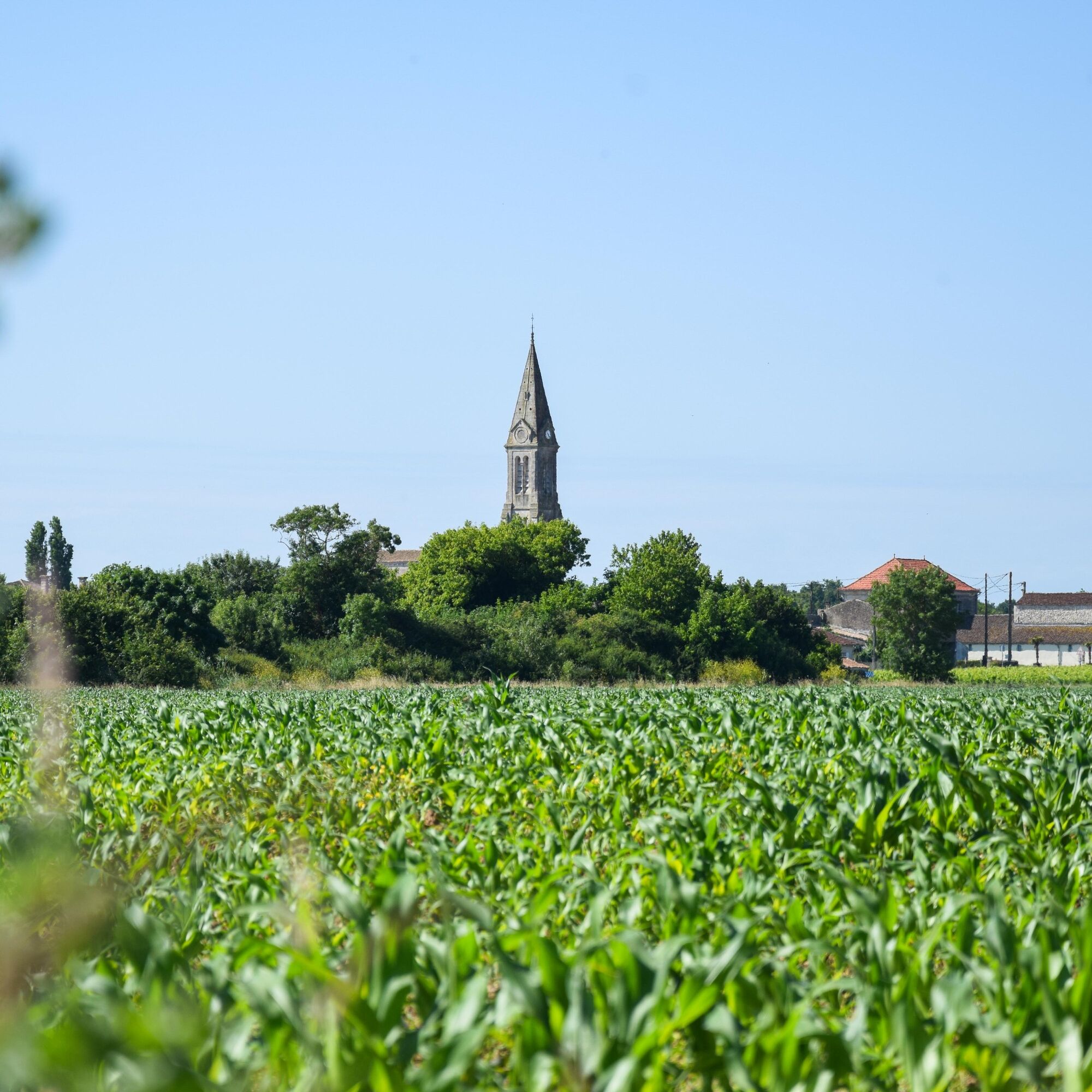
Starting from the town centre of Valeyrac or the charming port of Goulée, take this hiking trail through the famous Médoc vineyards and observe the immensity of the Gironde estuary from the mattes.Remarkable...
Opis
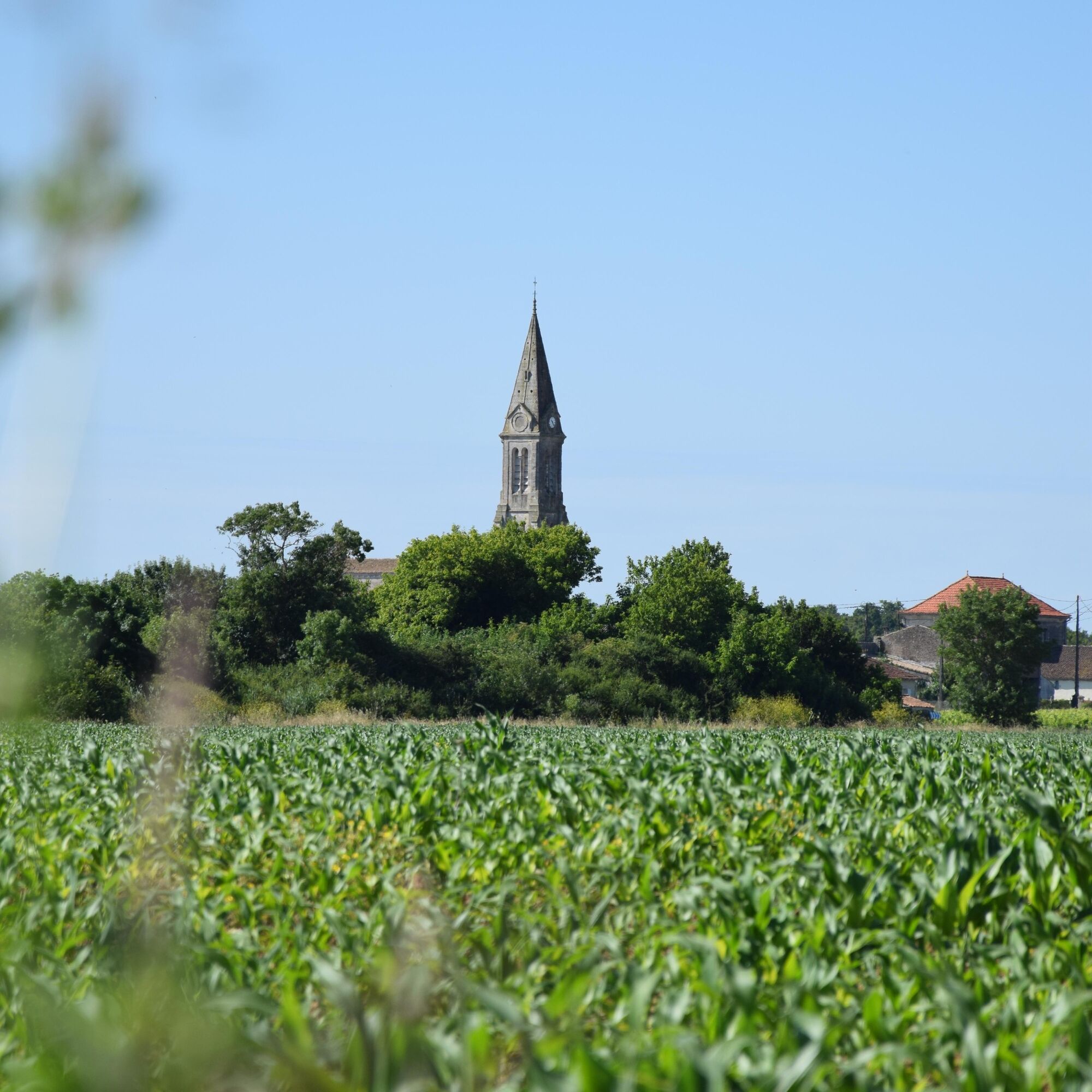
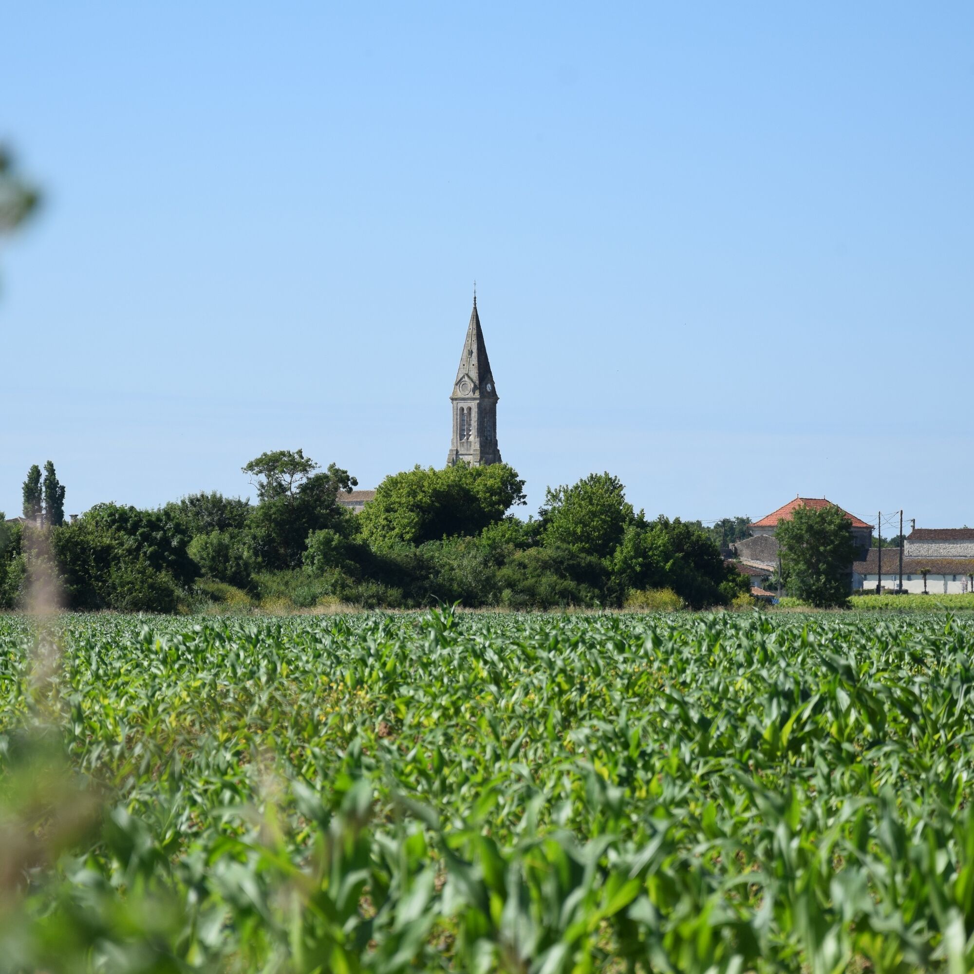
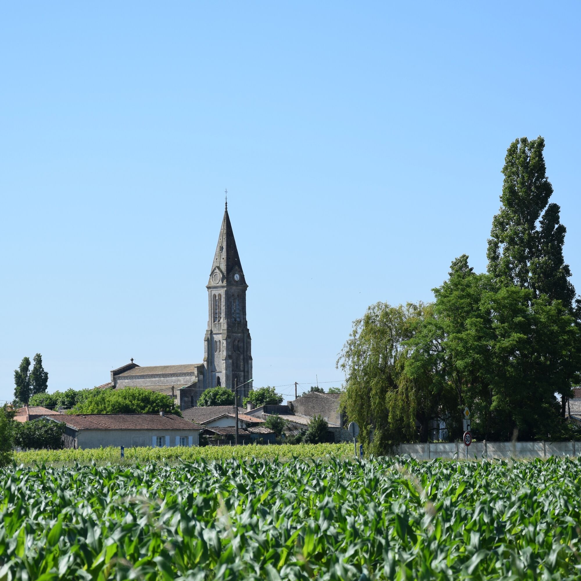
Starting from the town centre of Valeyrac or the charming port of Goulée, take this hiking trail through the famous Médoc vineyards and observe the immensity of the Gironde estuary from the mattes.
Remarkable viewpoints are waiting for you
An ideal family outing for a breath of fresh air.
Trasa
Valeyrac
(6 m)
Wioska
0,0 km
Église Notre-Dame
(8 m)
Miejsce kultu
0,0 km
Cantelaude
(3 m)
Rozliczenie
0,5 km
Ladignac
(4 m)
Rozliczenie
4,7 km
Trasa
Boucle de l'Estuaire
Wędrówka
7,38
km
Valeyrac
(6 m)
Wioska
0,0 km
Église Notre-Dame
(8 m)
Miejsce kultu
0,0 km
Cantelaude
(3 m)
Rozliczenie
0,5 km
Ladignac
(4 m)
Rozliczenie
4,7 km
Valeyrac
(6 m)
Wioska
7,3 km

Informacje o trasie
Odpowiedni dla wózków inwalidzkich
Tak
Instrukcje bezpieczeństwa
In case of emergency, call 112
Informacje o przyjeździe
Przybycie
Consider carpooling
Parking
Parking near the starting point
Dodatkowe informacje i wskazówki
Dodatkowe informacje
OT Médoc Atlantique
Wskazówki
Nie ma jeszcze recenzji
Popularne wycieczki w okolicy
-
Boucle entre vignes et marais
światłoWędrówka 6,45 km -
Boucle de Goulée
Wędrówka 6,04 km -
Boucle des Palus
Wędrówka 3,67 km -
Boucle d'Ordonnac
światłoWędrówka 15,9 km -
Randonnée cycliste de Brion à Vertheuil
światłoJazda na rowerze 16,5 km -
Balades à roulettes : Valeyrac - Impraticable
Wędrówka 1,50 km -
Chemin d'Amadour - partie Médoc
średniWędrówka 138,6 km -
Chemin d'Amadour : étape 3 de Saint-Christoly-Médoc à Pauillac
średniWędrówka 21,5 km -
Boucle des Marais de Saint-Seurin-de-Cadourne
ciężkiWędrówka 19,1 km -
Belvédère - Mortagne-sur-Gironde - Les Ouches - La Sauzaie
średniWędrówka 13,0 km
Wędrówki i tropienie

Ponad 550.000 propozycji wycieczek, szczegółowe mapy i intuicyjny planer tras sprawiają, że aplikacja jest niezbędna dla wszystkich entuzjastów przyrody.

Nie przegap ofert i inspiracji na następne wakacje
Zapisz się do newslettera
Błąd
Wystąpił błąd. Spróbuj ponownie.
Dziękujemy za rejestrację
Twój adres e-mail została dodana do listy mailingowej.
Wycieczki po całej Europie
Austria
Szwajcaria
Niemcy
Włochy
Słowenię
Francja
Holandia
Belgia
Polska
Liechtenstein
Czechy
Słowacja
Hiszpania
Chorwacja
Bośnia i Hercegowina
Luksemburg
Andorra
Portugalia
Islandia
Wielka Brytania
Irlandia
Grecja
Albania
Macedonia Północna
Malta
Norwegia
Czarnogóra
Mołdawia
Kosowo
Węgry
San Marino
Rumunia
Estonia
Łotwa
Białoruś
Cypr
Litwa
Serbia
Bułgaria
Monako
Dania
Szwecja
Finlandia





