


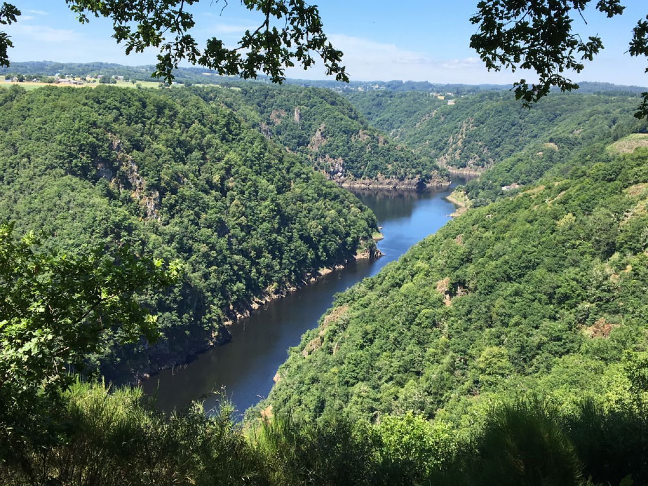
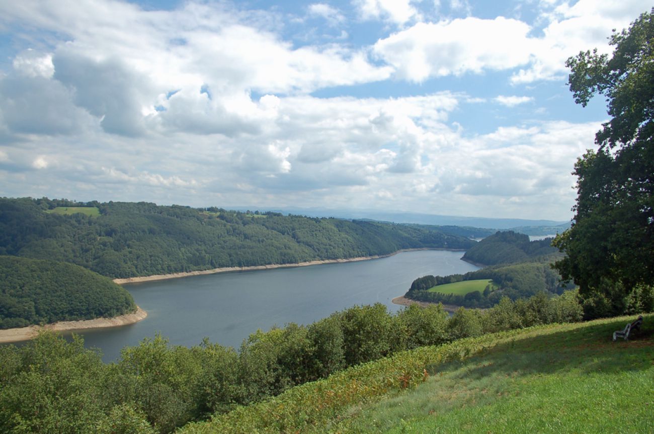
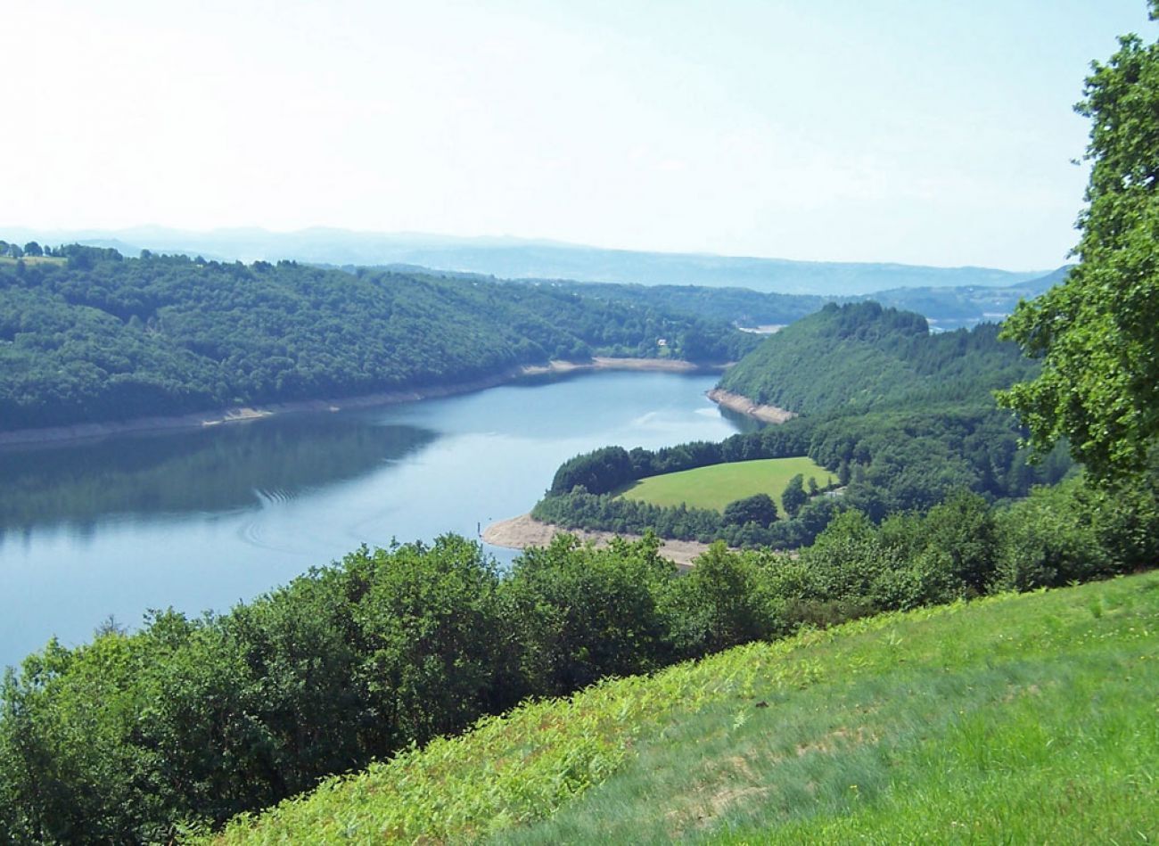
Equestrian route on the Bortois plateau
Poziom trudności: 5
A dedicated brochure for equestrian routes allows you to find a selection of routes, accommodations located on and nearby, as well as a list of equestrian tourism centers. We invite you to download it...
A dedicated brochure for equestrian routes allows you to find a selection of routes, accommodations located on and nearby, as well as a list of equestrian tourism centers. We invite you to download it or consult it online.

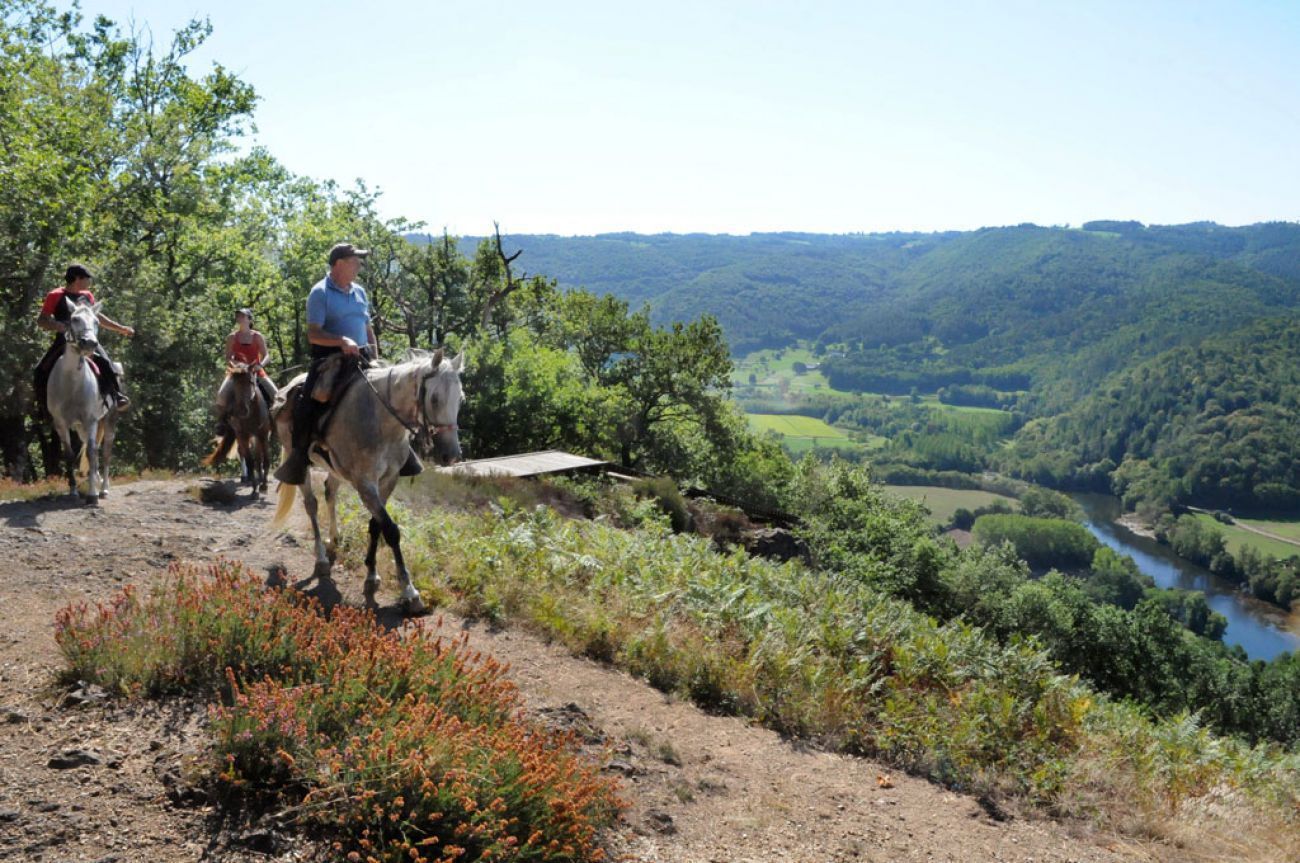
Follow the orange waymarking.
A dedicated brochure for equestrian routes allows you to find a selection of routes, accommodations located on and nearby, as well as a list of equestrian tourism centers. We invite you to download it or consult it online.
Tak
For obvious safety reasons, wearing a hard hat or helmet is strongly recommended during the activity.
Be aware that you hike at your own risk and are responsible for any accidents that may occur to yourself or to third parties due to non-compliance with these recommendations.
European emergency number: 112
For people with hearing or speech difficulties: 114 by SMS
5
Popularne wycieczki w okolicy
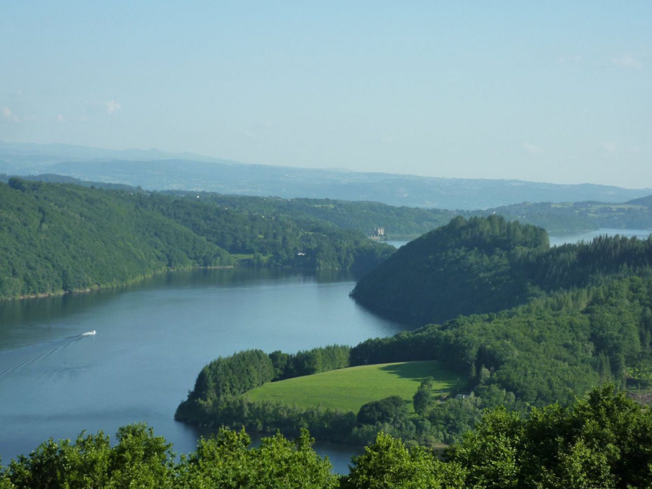
Leisure bike route: The lake of the Triouzoune
światłoJazda na rowerze 14,0 kmA story along the water
ciężkiWędrówka 13,4 kmThe Dordogne from villages to dams - from Bort-les-Orgues to Liginiac
ciężkiMountainbike 33,3 kmBort-les-Orgues - Point de vue panoramique sur les Orgues - Les Orgues
średniWędrówka 8,38 kmVebret - Saut de la Saule - Couzan - La Besseyre
średniWędrówka 13,0 kmVal - Belvédère - Le Monteil - Lanobre
światłoWędrówka 4,26 kmLa Siauve - Belvédère - Val - Chapelle Saint-Blaise
światłoWędrówka 6,21 kmUssel - Église Saint-Frédulphe - Chapelle Saint-Martial - Église de la Translation-de-Saint-Martin
ciężkiDroga rowerowa 83,1 kmUssel - L'Auberge - Église Notre-Dame de l'Assomption
średniDroga rowerowa 59,0 kmUssel - La Coste - La Serre - Église Notre-Dame de l'Assomption
średniDroga rowerowa 47,9 km
Wędrówki i tropienie


Nie przegap ofert i inspiracji na następne wakacje
Twój adres e-mail została dodana do listy mailingowej.