







Leisure bike route: in the heart of the Millevaches plateau
Your journey will start in the municipality of St-Merd-Les-Oussines. Of course, you should devote some time to visiting it, curiosities await you… Crossed by the Vézère river, the village has heritage...
Your journey will start in the municipality of St-Merd-Les-Oussines. Of course, you should devote some time to visiting it, curiosities await you… Crossed by the Vézère river, the village has heritage worth discovering: the old presbytery, built in the 17th century, as well as an authentic medieval enfeu attached to the church.
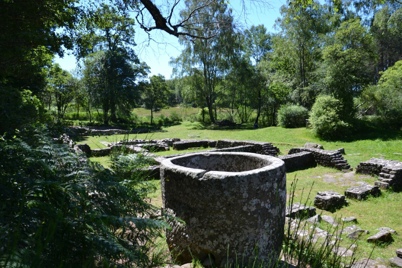
After passing through the village, the visit to the Gallo-Roman ruins of Les Cars is a must. Discover the remains of a funerary complex and an important villa. The site is dated to the first half of the 2nd century AD. Among the granite blocks, there is also a huge basin, the most remarkable element present on the site. Standing 1.75 m high and weighing about 8 tons, this basin was the reservoir that supplied the building with hot water. For everyone’s enjoyment, a discovery trail allows you to learn more about the construction methods and the building’s architecture through explanatory panels along the route.
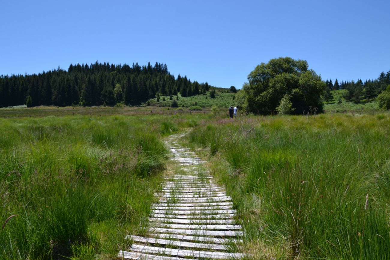
After the first kilometers, the route now offers a beautiful escape into the heart of the Longeyroux peat bog, located between 870 and 900 meters altitude. Identified as a "biological site of European interest" for its diverse fauna and flora, the peat bog is today a protected area of 255 hectares. Dating back 8,000 years, the peat layer reaches two meters deep. Two trails allow you to explore this unique biological environment, a paradise for otters. First, the Sentier des Linaigrettes (1 km, 1 hour) crosses the peat bog on a path fitted with logs. Then, the Sentier des Bruyères (9 km, 4 hours) invites you to a longer walk around the bog… the opportunity to contemplate in more detail the many surrounding landscapes.
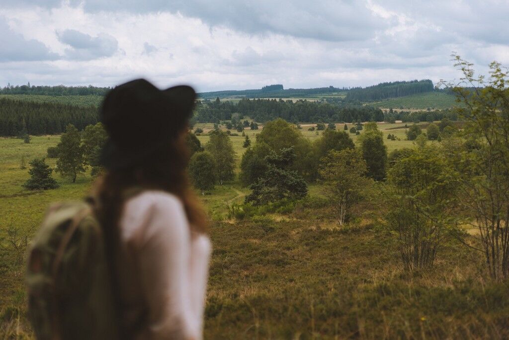
After passing through the commune of Chavanac, we recommend stopping near the Étang des Oussines (18 hectares)... This stands out by the great diversity of its ecosystem: the European otter, the hobereau falcon, the pervasive water lilies... Étang des Oussines is a remarkable place that invites walkers to escape through a splendid setting... between moorlands and woods typical of the Millevaches plateau, offering the prospect of splendid landscapes to photograph.


Tak
A well-maintained and well-equipped bike helps ensure your safety as well as that of other road users.
Before you leave:
Make sure the bike is in perfect mechanical condition, including tires and brakes Ensure the bike is properly adjusted to your body shape Wearing a helmet is strongly recommended Bring a repair kit Remember that the Highway Code applies to cyclists at all times Never ride more than two abreast and keep to a single file when traffic conditions require it Respect other users as you would like to be respected Choose a route suited to your physical abilities Inform your entourage of your itinerary Check the weather conditions A first aid kit is not essential but can be very useful Know and keep emergency phone numbers. Respect the environment by not throwing food wrappers by the roadside If you must return at dusk, make sure you can see and be seenEmergency number: 112
For more information on the Destination, visit the website Tourisme Haute Corrèze
Popularne wycieczki w okolicy
-
GR® 440 "Grand tour de la montagne Limousine"
ciężkiWędrówka 194,3 km -
To the top of Limousin
ciężkiWędrówka 20,3 km -
Route No. 39 Haute-Corrèze MTB Area: The Cars site
ciężkiMountainbike 46,5 km -
Leisure bike route The Cars Ruins
światłoJazda na rowerze 19,2 km -
From the Cars Site to the Longeyroux Peat Bog
średniWędrówka 16,1 km -
Family cycling route trough the heights of Bugeat
światłoJazda na rowerze 14,3 km -
The Chapel Path (Mountain Bike Route No. 9)
ciężkiMountainbike 24,7 km -
La Ganette - Église Saint-Georges - Église Saint-Pierre - L'Établissement
średniWędrówka 87,2 km -
L'Établissement - Bugeat - Église Saint-Pardoux - Pérols-sur-Vézère
światłoWędrówka 5,88 km -
Meymac - Mont Bessou
światłoWędrówka 2,05 km
Wędrówki i tropienie


Nie przegap ofert i inspiracji na następne wakacje
Twój adres e-mail została dodana do listy mailingowej.





