


Hiking in the Wurm Valley - from Herzogenrath to Aachen
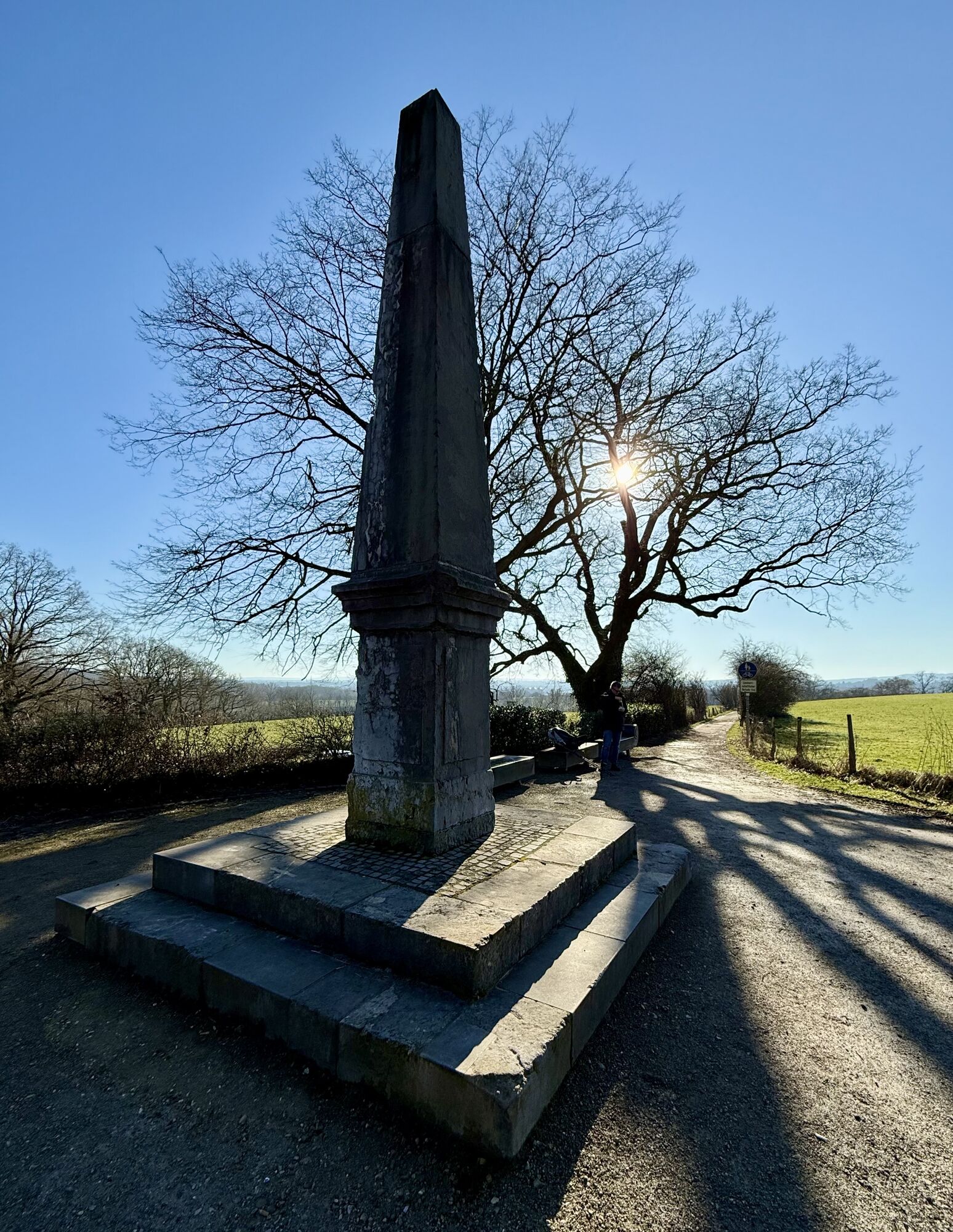
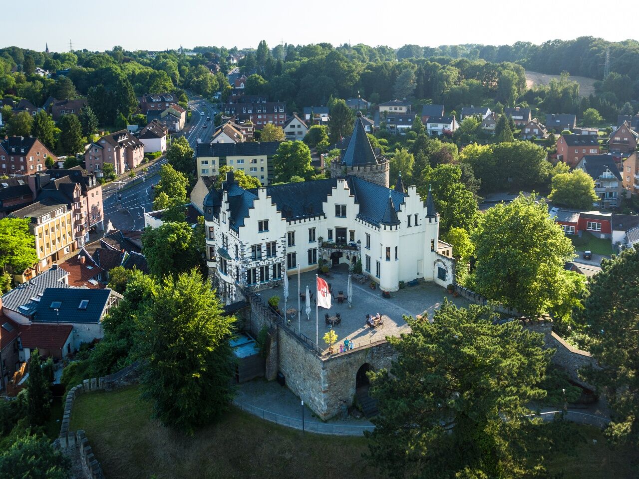
From Herzogenrath railway station, turn right onto the European Walking Route E8, which after 3 km crosses the Wurm and leads you to Wilhelmstein high atop the Wurm Valley. Originally built as a medieval...
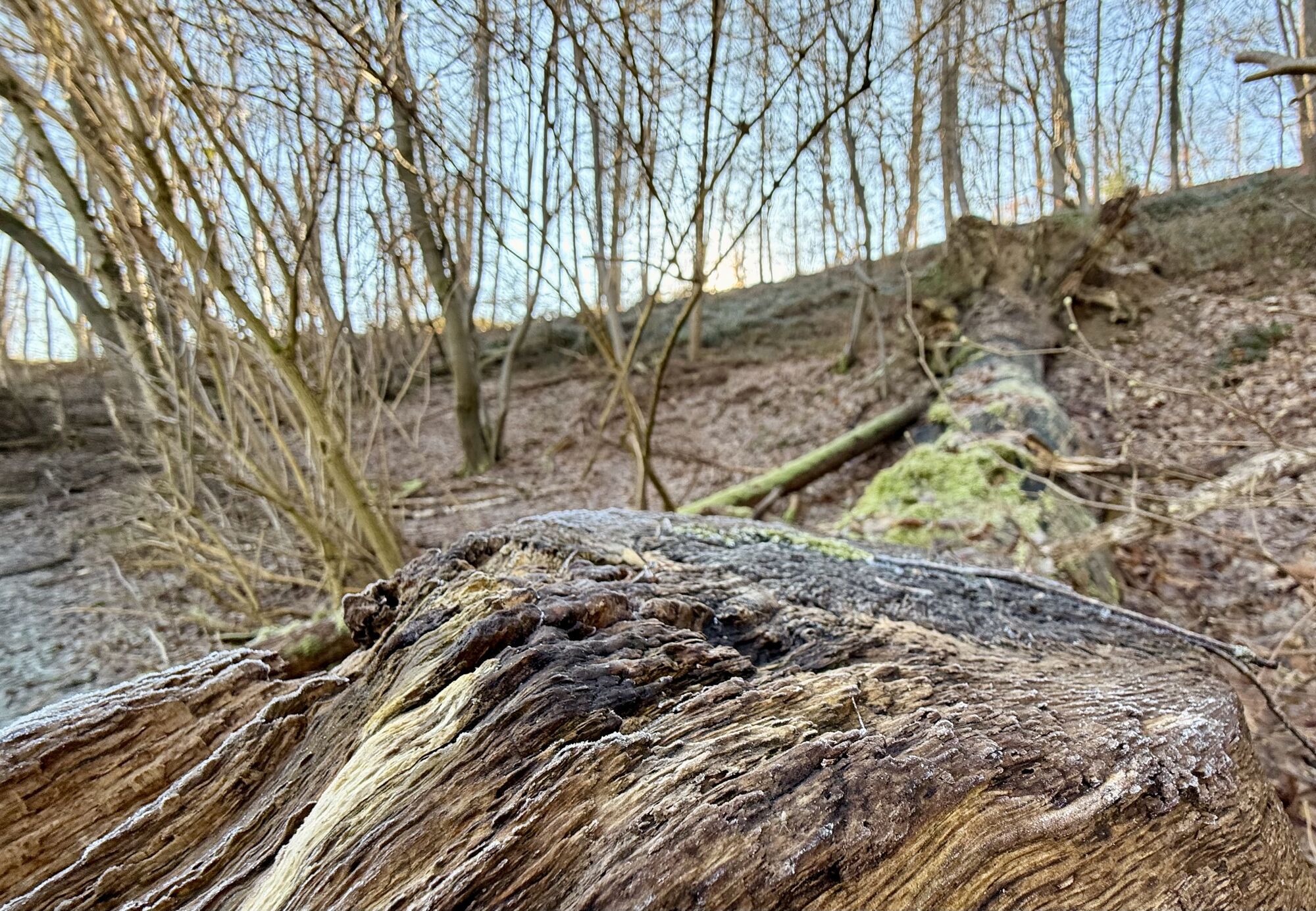
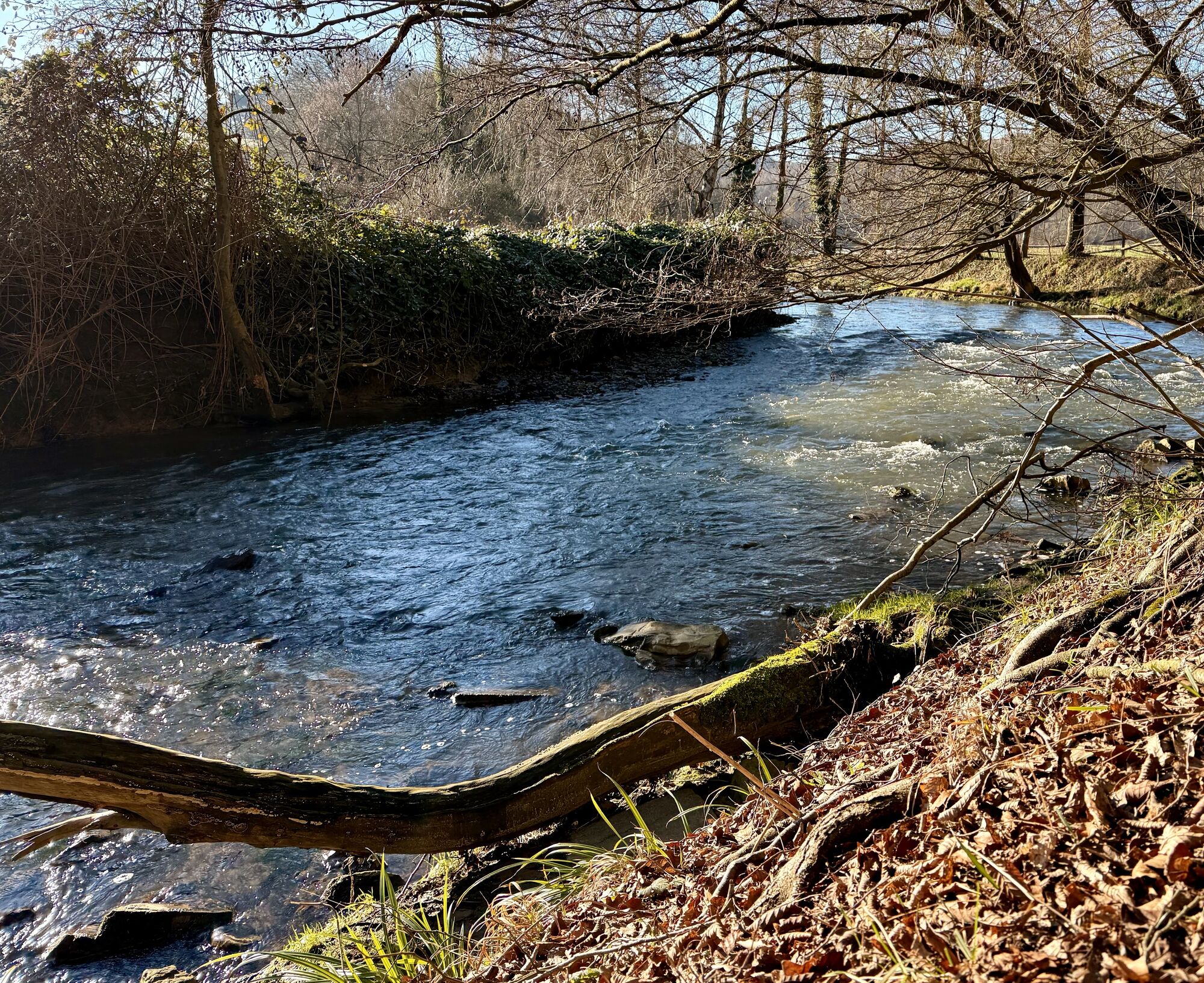
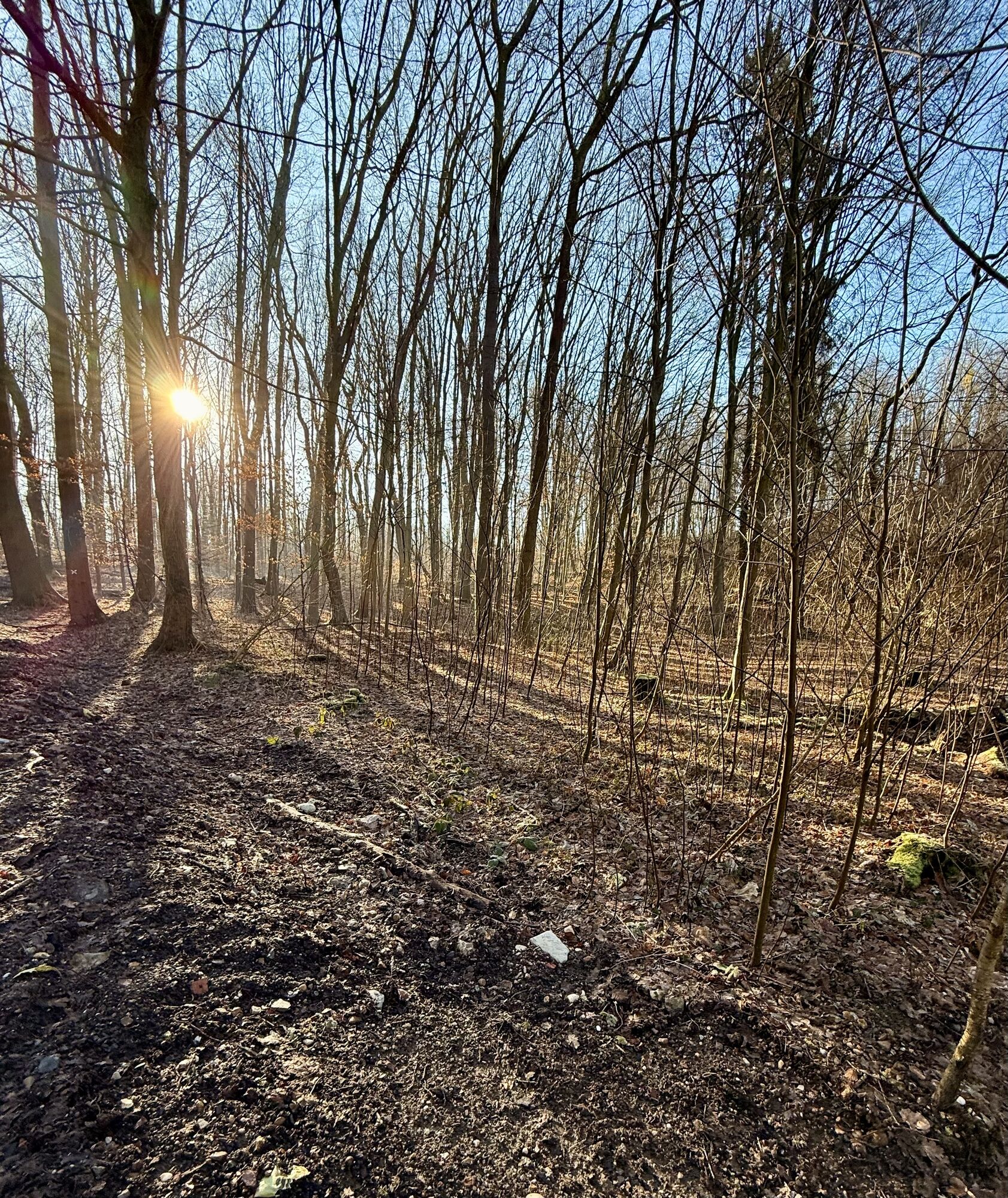
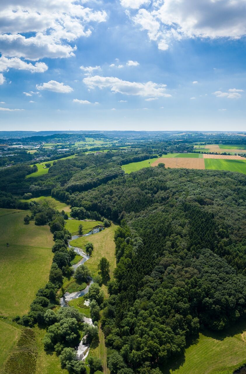
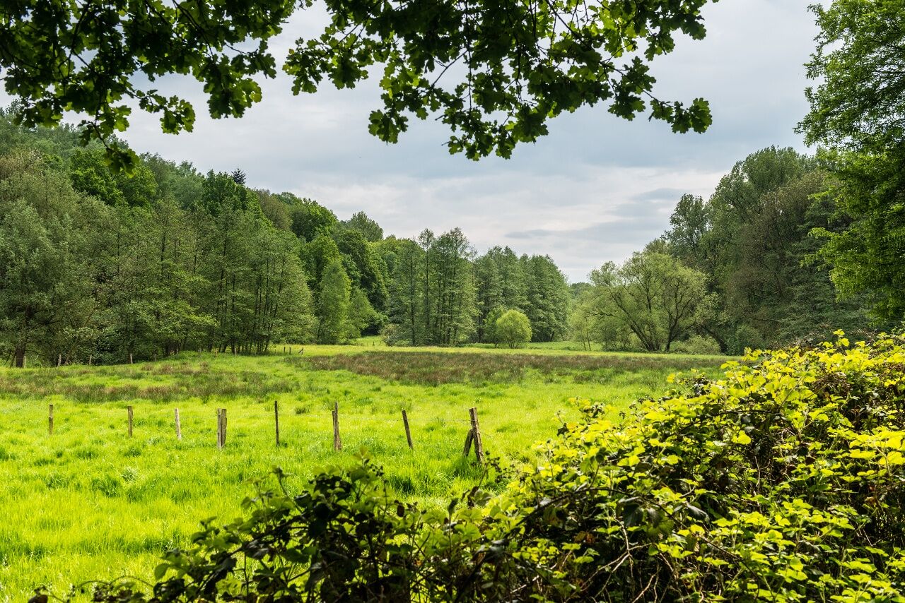
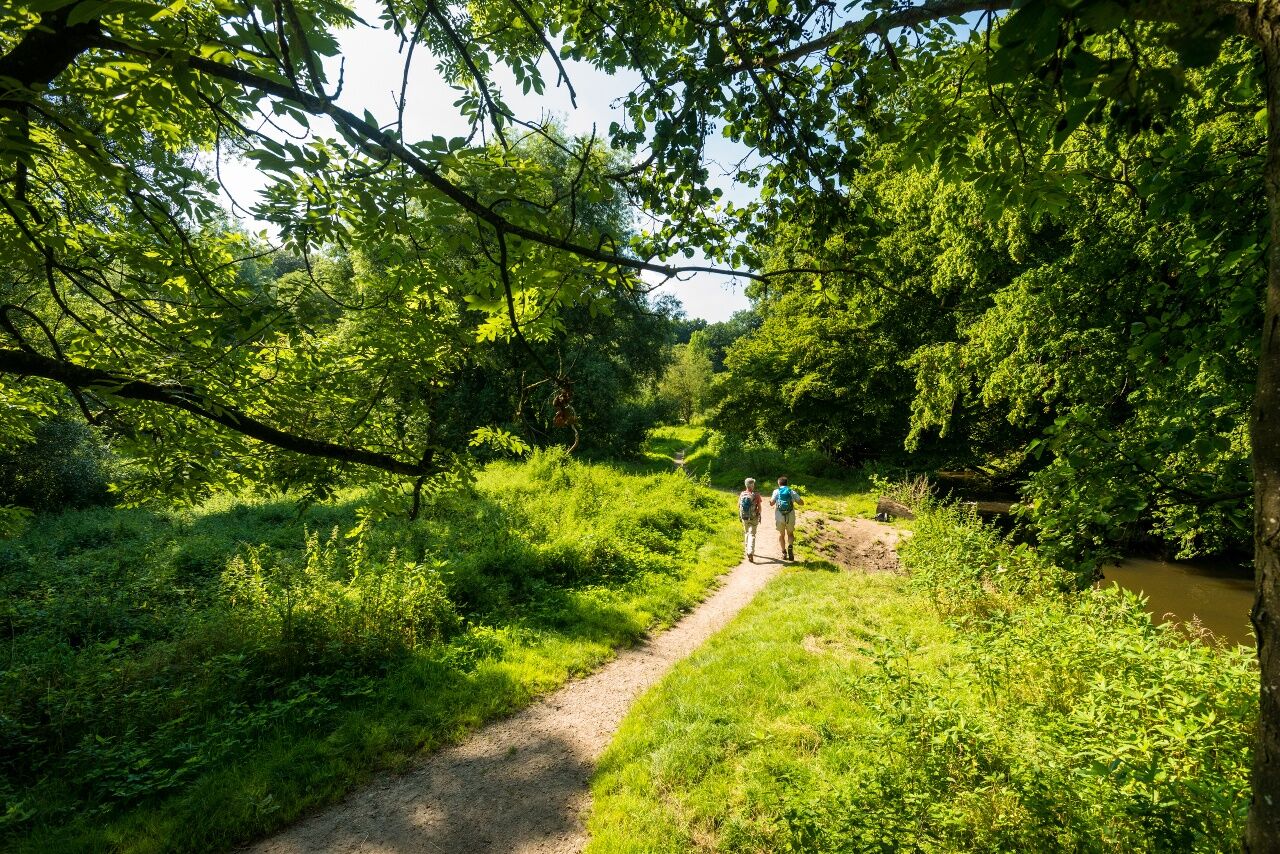
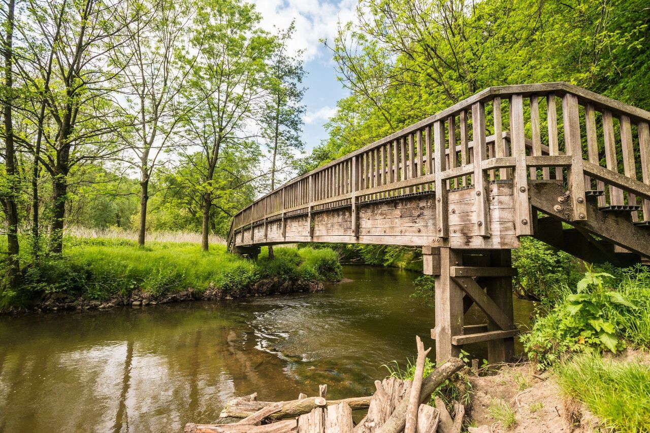
From Herzogenrath railway station, turn right onto the European Walking Route E8, which after 3 km crosses the Wurm and leads you to Wilhelmstein high atop the Wurm Valley. Originally built as a medieval border outpost, today this castle ruin is one of the Wurm Valley’s biggest recreational attractions. In the summer months, visitors come from far and wide to enjoy cultural events like concerts (from classical to rock), theatre, cabaret and open-air cinema, here under the shade of the castle walls. And it is here where the most scenic part of the hike begins: through the Wurm Valley landscape conservation area, the river Wurm meanders through woods and meadows all the way to the outskirts of Soers, north of Aachen.
And after a healthy dose of nature, you reach the urban periphery. Soon, you see the revolving tower and restaurant at Lousberg rising in the distance, and finally, after just a few steps over the Salvator Hill you reach Aachen Cathedral, where this hike ends and you finish your day with a pleasant stroll through the historic old town centre of Aachen.
Highlights along the way:
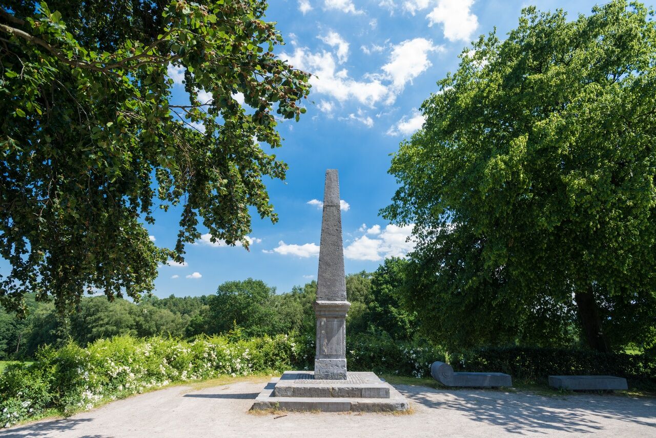
Rode CastleWilhelmstein CastleWurm ValleyLousbergHistoric old town centre of Aachen, with cathedral (Aachener Dom)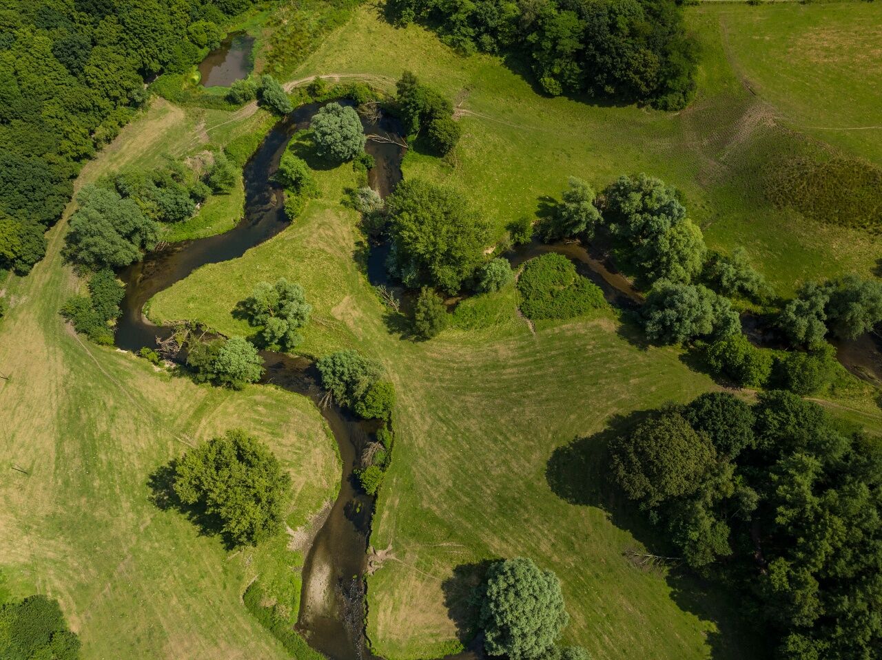
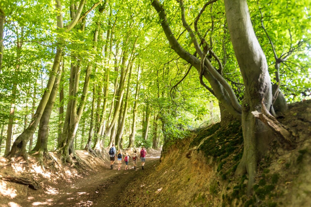
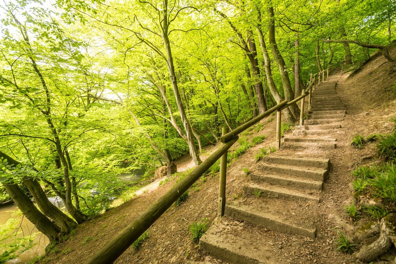
The degree of difficulty of this hike is easy to moderate. The crossing of the valley involves some differences in elevation, both up and down, although these are primarily gentle slopes. Almost all of the path is marked with X stickers, either on posts or on trees along the way. Start by following (= European Walking Route 8). When you reach Salvator Hill, start following the black triangles, which will lead you straight to Aachen Cathedral. As an alternative, you can follow the path of the European Long Distance Walking Trail (E8). Following the signs will also take you to the centre of Aachen. Along with paved sections, the route also includes unpaved and uneven paths and trails.
Wanderkarte NR1 :Aachen, Eschweiler, Stolberg hiking map Nr.1: Aachen, Eschweiler, Stolberg, 1:25.000, Publisher: Eifelverein e.V., € 10, ISBN 978-3-921805-94-7
For this hike, we recommend waterproof hiking shoes and weather-appropriate clothing. Be sure to bring enough water and take a little food with you, and you’ll be all set!
At Morsbach (Würselen) in the southern area between the roads Mühlenweg and Waldstraße (south of Am Knopp), the hiking trail has been severely damaged by forestry work for a stretch of no more than 300 m. Particularly in rainy weather, this stretch is now very muddy. You can bypass this section by taking the loop trail A3 when you reach Haus Am Knopp 1, and then following loop trail A3 and Waldstraße, but this will involve a steeper ascent and descent.
To plan your individual trip by car, use our journey planner and enter “Herzogenrath, Bahnhofstraße” as your destination.
For your full journey by public transport and fare information, see: www.avv.de
Convenient parking is available at Herzogenrath train station car park, which is also the starting point of this hike.
You will find a range of cafés and restaurants in the town centres at Aachen and Herzogenrath, as well as at Castle Wilhelmstein.
Popularne wycieczki w okolicy
-
4,0
Buurtschappen rond de Geul
światłoWędrówka 7,37 km -
5,0
Drielandenroute
światłoWędrówka 16,7 km -
4,0
Rondwandeling het Hijgend hert.
średniWędrówka 10,4 km -
Vijlen - Sippenaeken
średniWędrówka 6,88 km -
5,0
Route des Vins Wahlwiller-Eys, Limburg/Nederland
średniWędrówka 10,1 km -
5,0
Cottessen - mooi rondje langs de geul
średniWędrówka 3,83 km -
Verlockungen des Heuvellands
średniJazda na rowerze 39,1 km -
5,0
Burg Wilhelmstein - Aachener Dom (Bardenberg) #LL2ROM V14 (Erkelenz - Aachen Prt. 4 von 4)
światłoWędrówka 11,5 km -
5,0
Alleleijn, rondje Epen!
Wędrówka 6,06 km -
5,0
Geilenkirchen- Burg Wilhelmstein (Bardenberg) #LL2ROM V10 (Erkelenz - Aachen Prt. 3 von 4)
średniWędrówka 21,0 km
Wędrówki i tropienie


Nie przegap ofert i inspiracji na następne wakacje
Twój adres e-mail została dodana do listy mailingowej.