







Orke water trail - nature experience trail
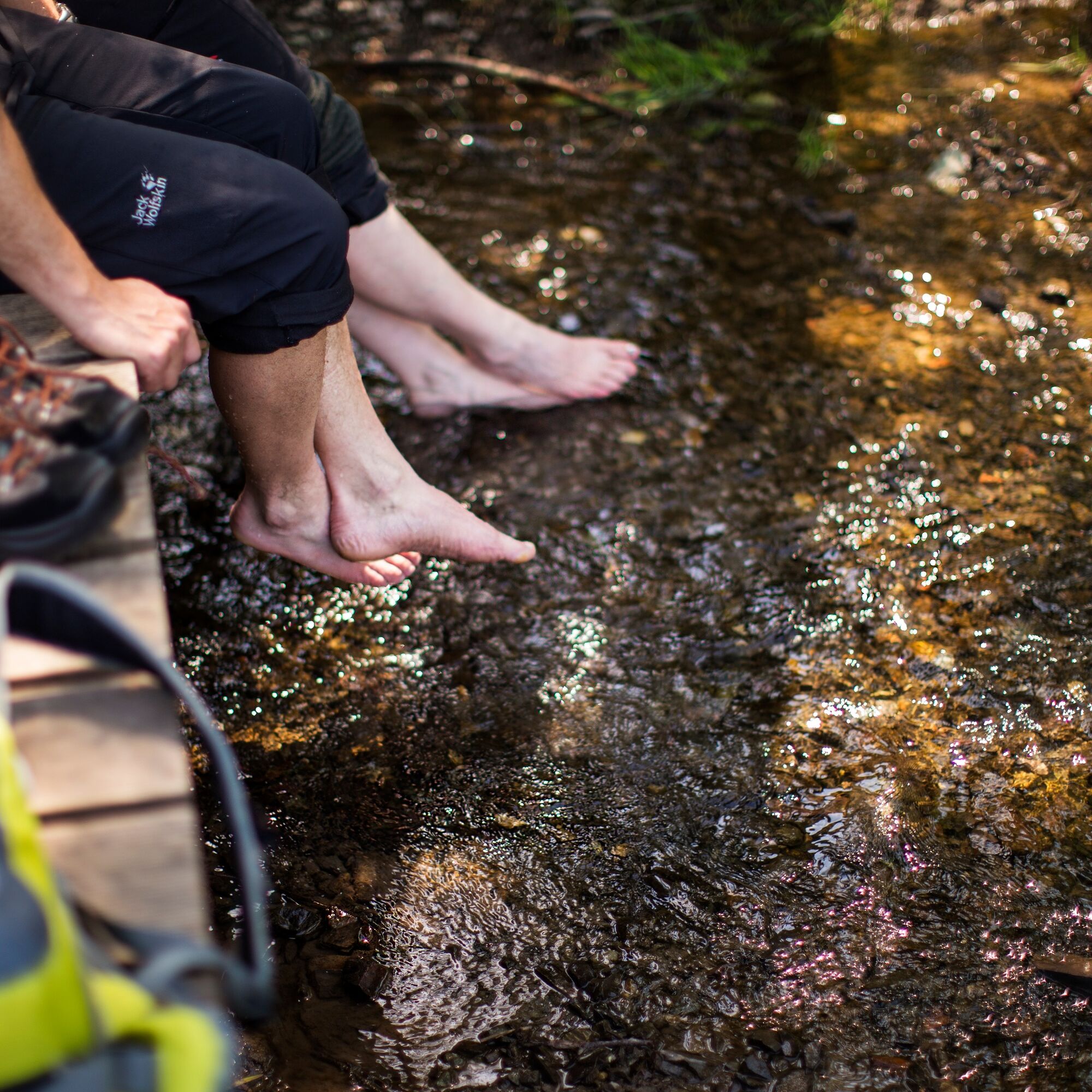
Nature lovers and families are in good hands on the discovery trail!
At 13 stations, QR codes provide interesting information about habitats, animals and plants, the former use of the watercourse and nature...
Nature lovers and families are in good hands on the discovery trail!
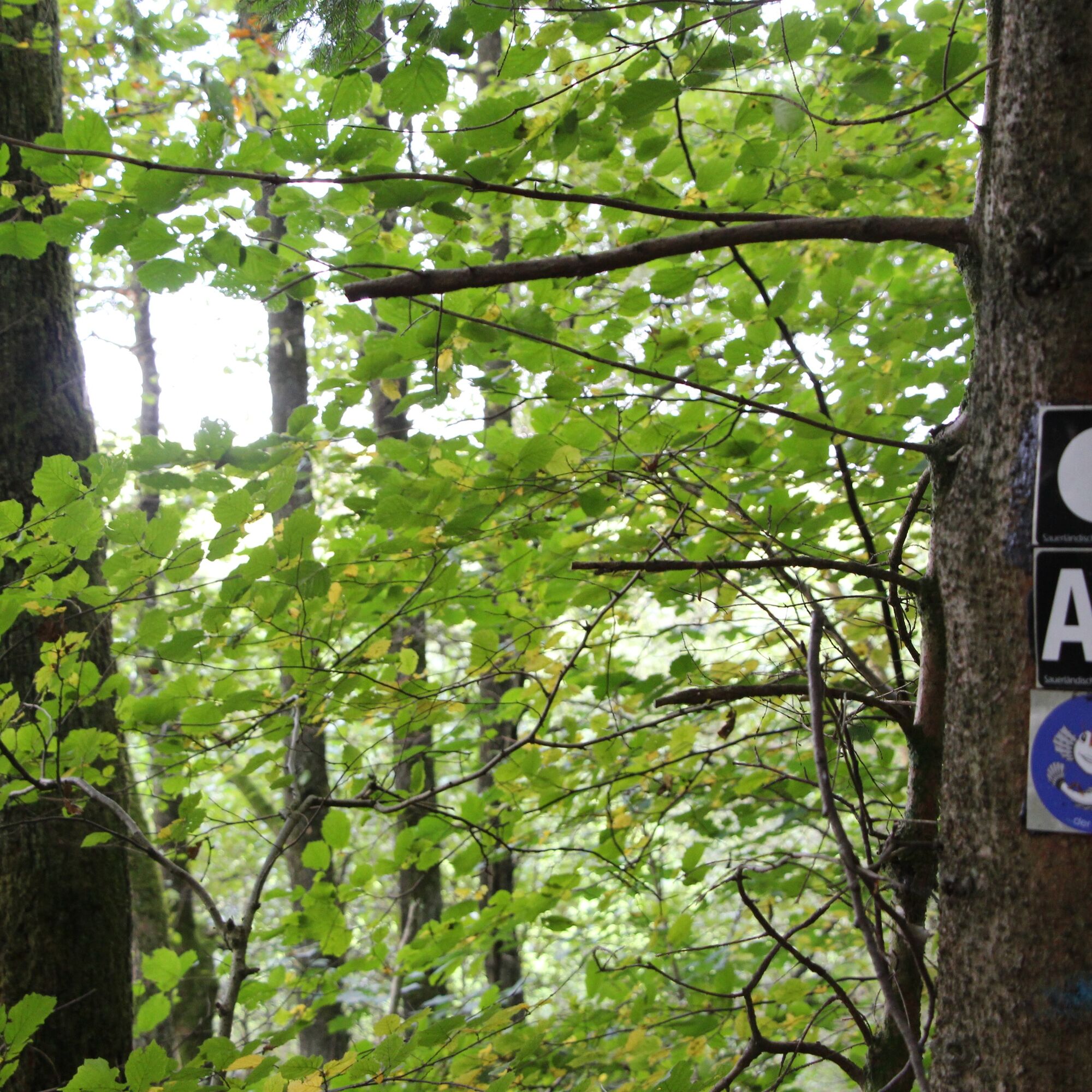
At 13 stations, QR codes provide interesting information about habitats, animals and plants, the former use of the watercourse and nature conservation measures.
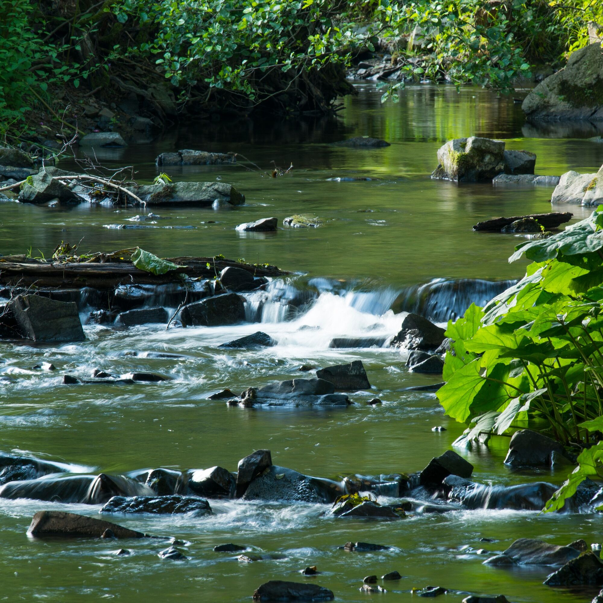
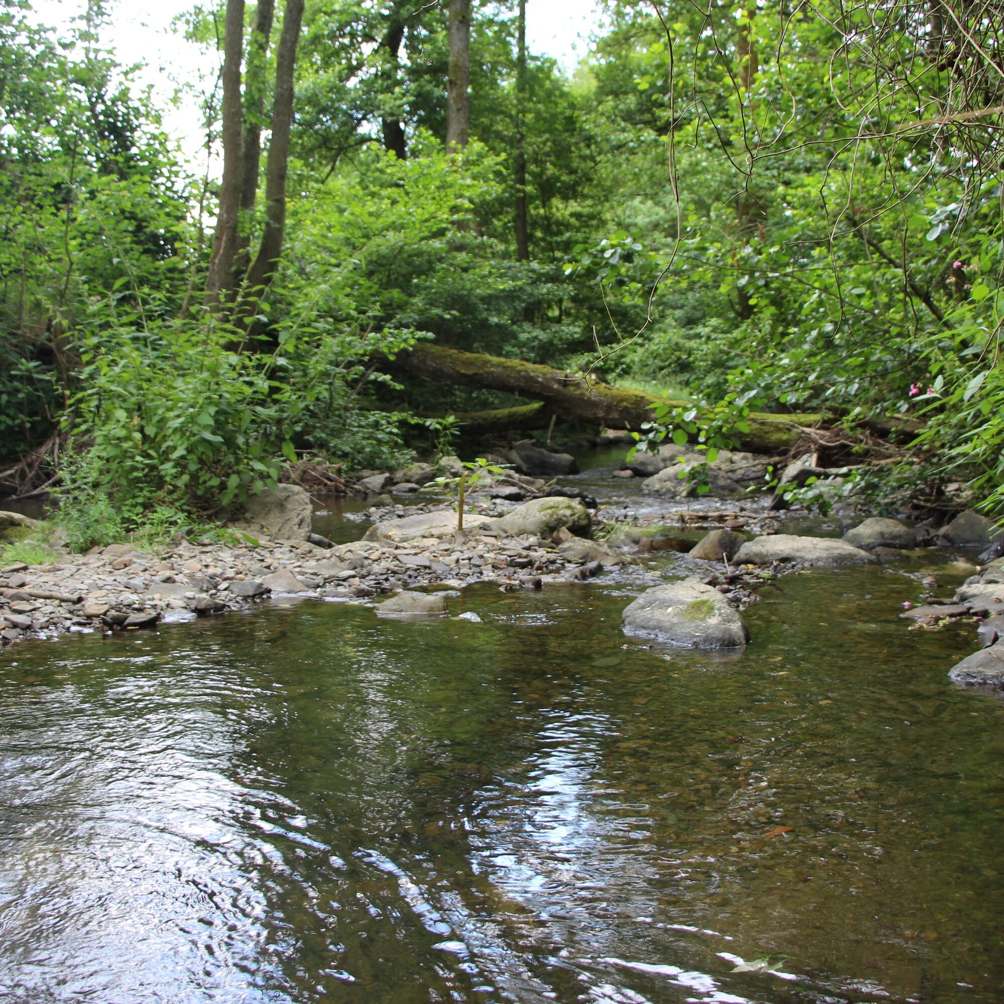
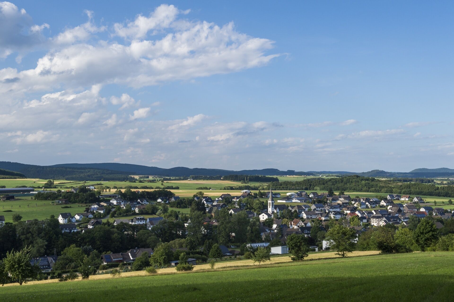
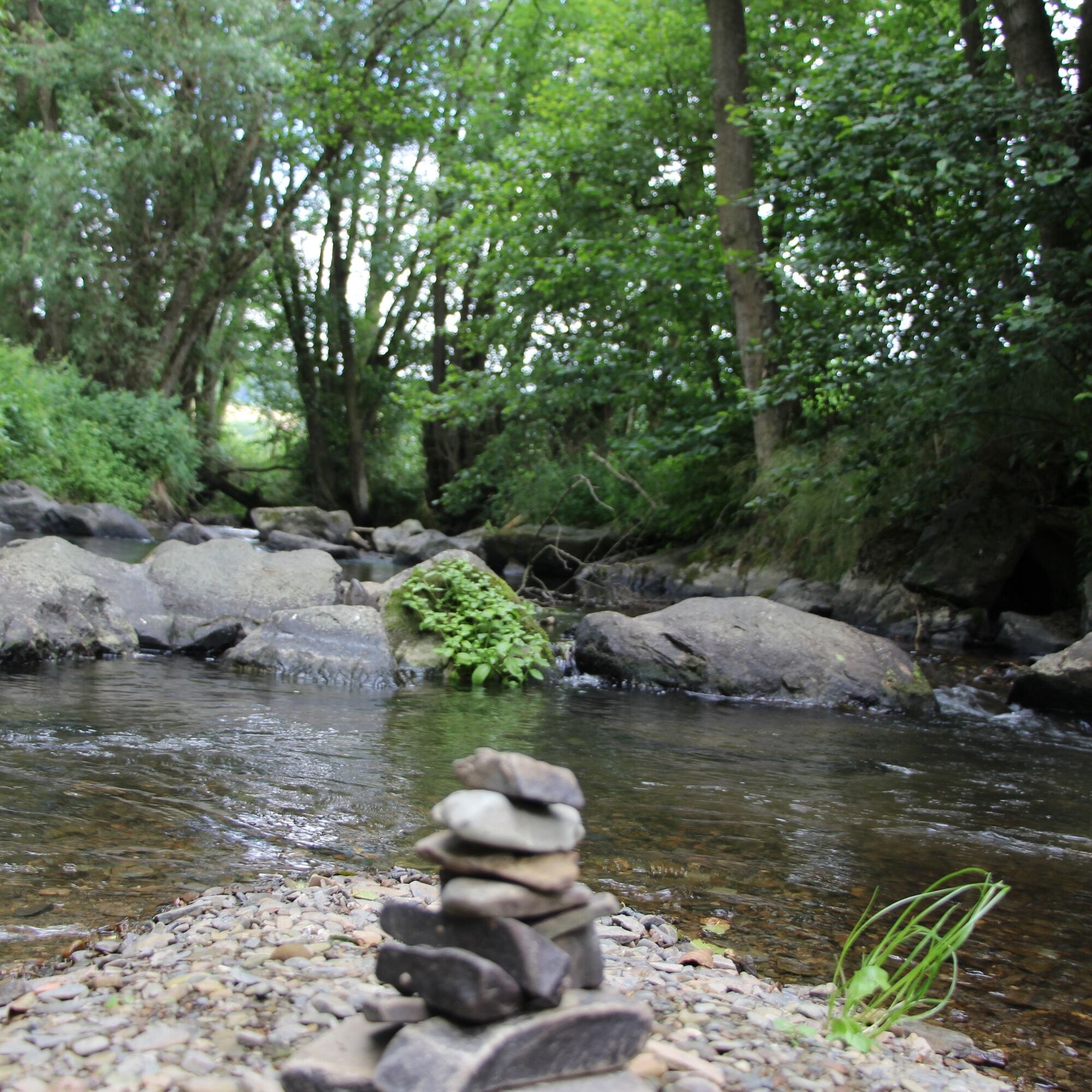
The tour leads along the stream, through meadow valleys and floodplains, along paths and past a geological outcrop.
Hiking with children
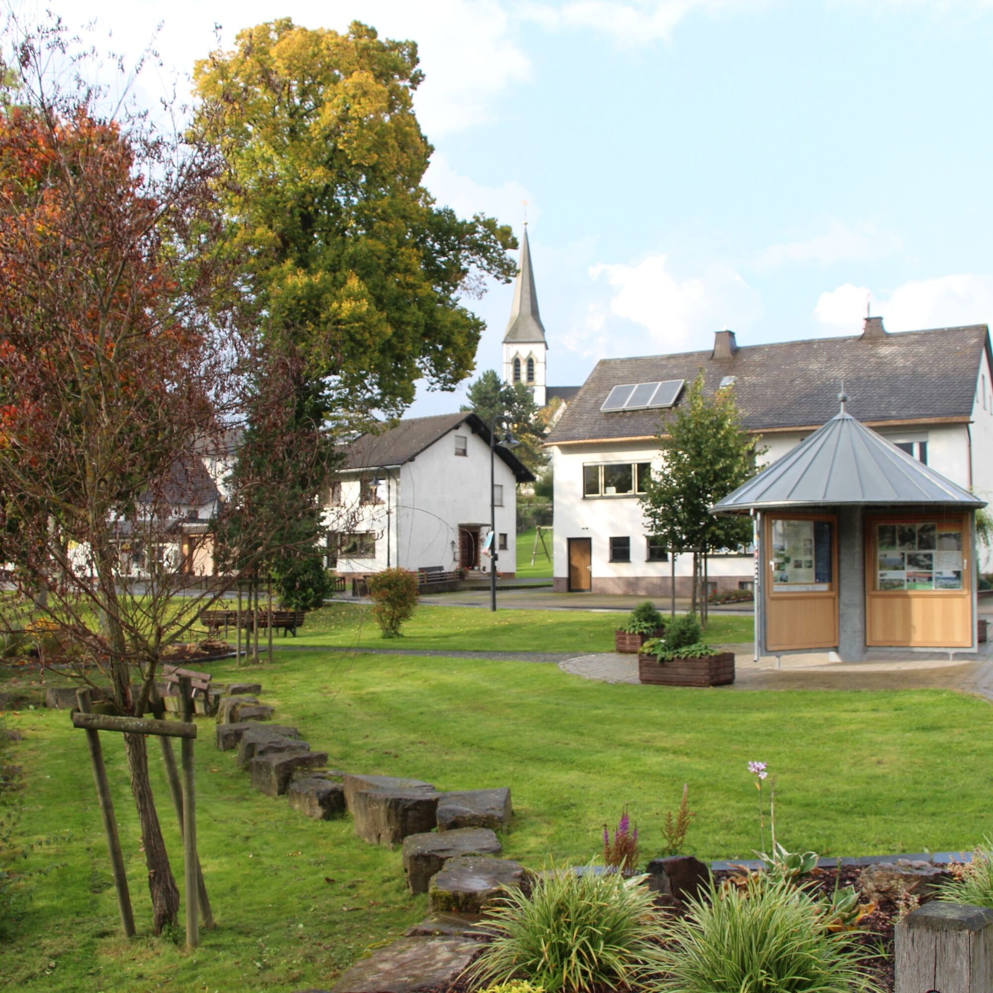
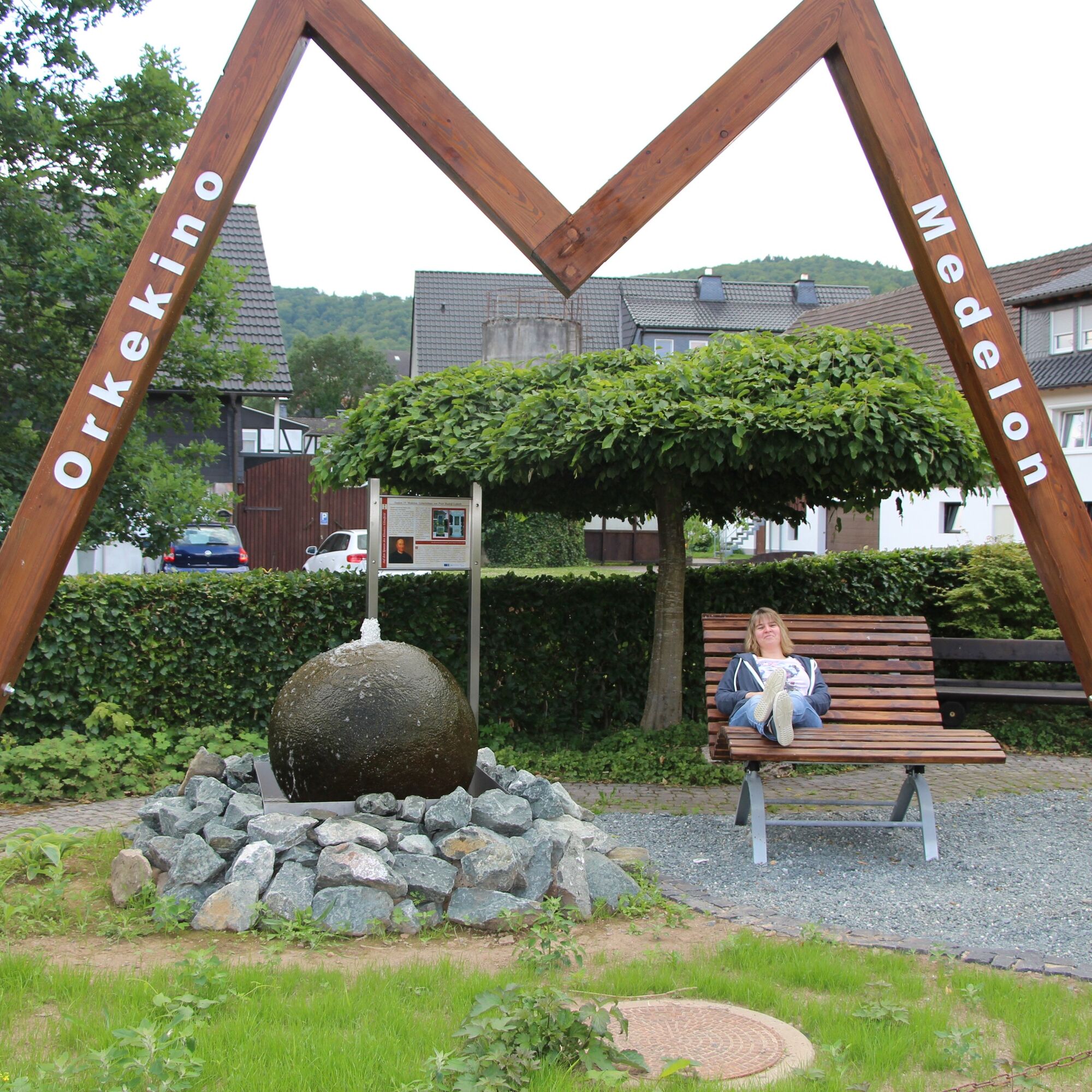
Families with younger children can look forward to the playground in the centre of the village. The tour can be shortened at the wooden bridge and, at around four kilometres, is also easy to manage with younger children. The path is not suitable for pushchairs!
Information on the renaturalisation:
In the European LIFE project - a building block for Natura 2000 - the Orke was made more natural through extensive measures. By converting or bypassing 22 transverse structures, the river's passability for brown trout, brook lamprey and bullhead was restored. The black stork also benefits from the renaturalisation due to a better food supply. Afforestation from spruce or hybrid poplars was converted back into grassland, which is now managed by farmers in a nature conservation-friendly manner.
Further information can be found at: www.naturschaetze-suedwestfalens.de


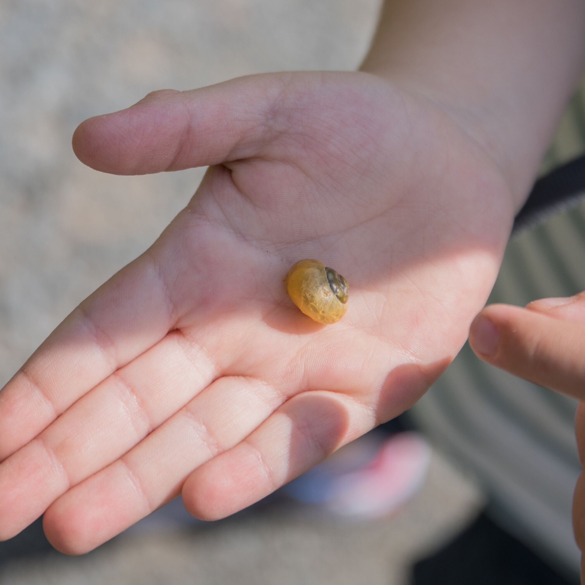
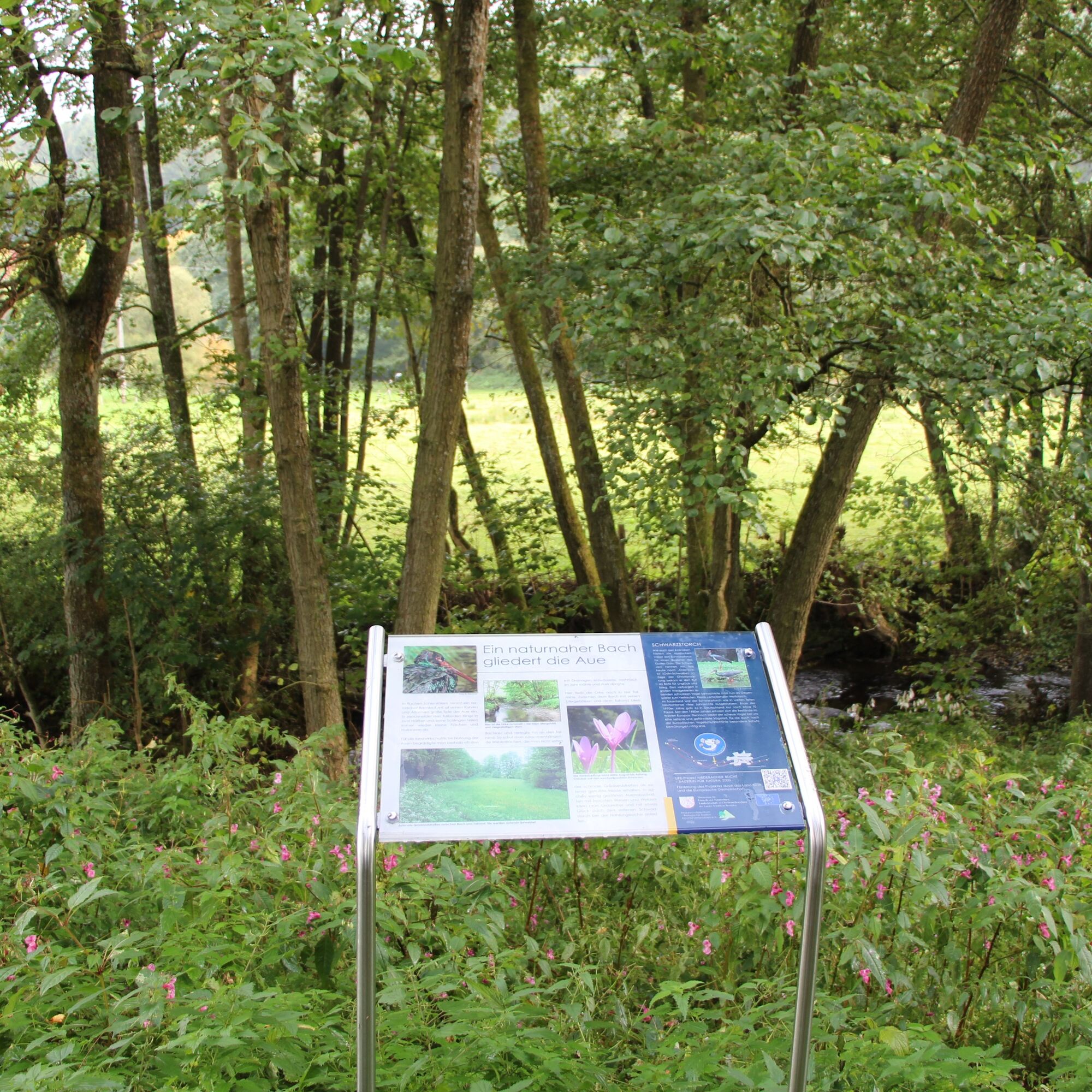
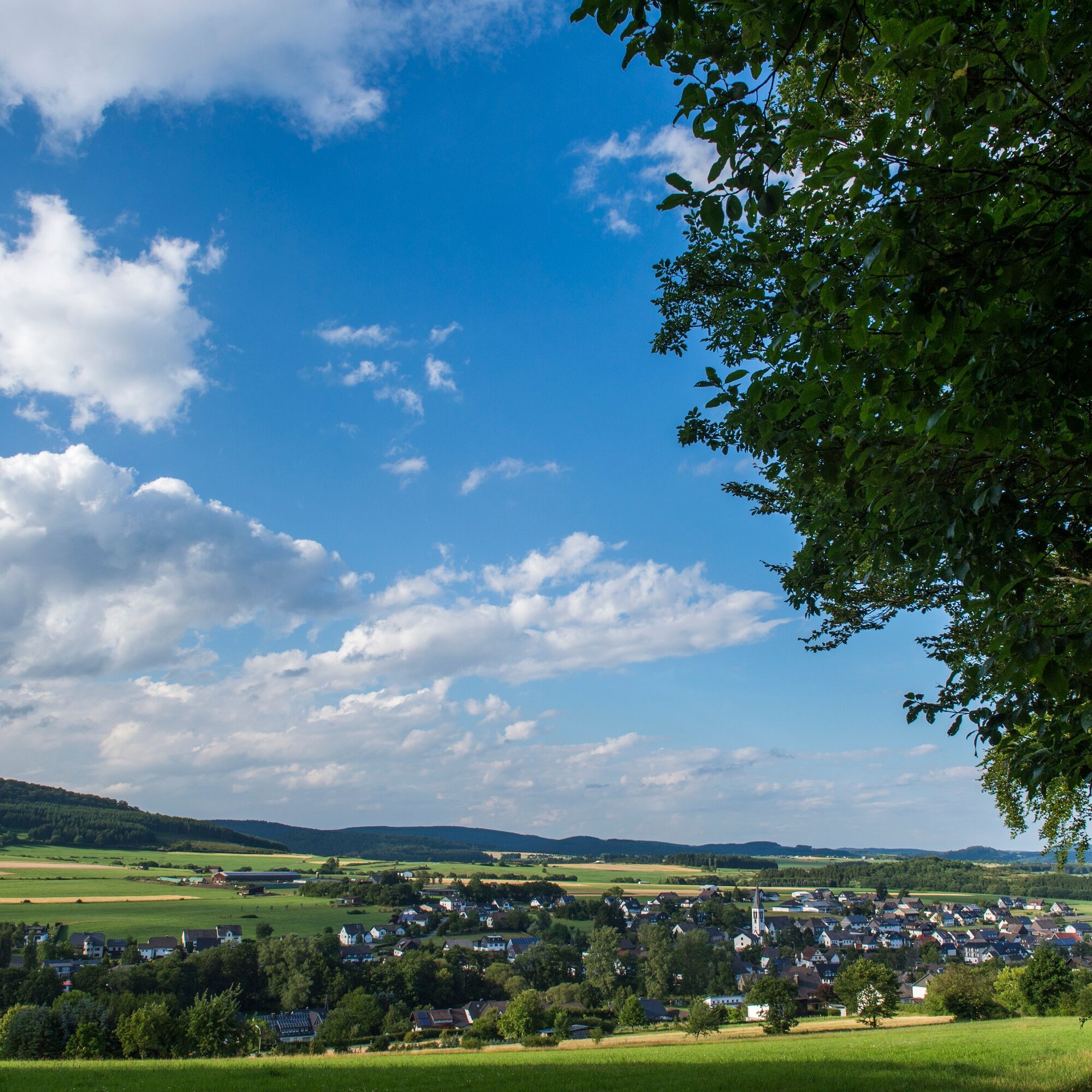

Western section:
Via Marienglück into the Vildischer Grund to the Kaltenscheid forester's lodge and back (7.4 km; 9 stops).
Eastern section:
To renaturalised sections of the Orke below Medelon and back (2.2 km; 4 stops).
Tak
Address for navigation: Orkestraße 21, 59964 Medelon (Medebach)
Von Medebach: Bus 361 (BRS): Medebach - Medelon - Hallenberg
Von Winterberg: Bus 356 (BRS): Winterberg - Hallenberg / Umsteigen in Hallenberg in Bus 361 Richtung Medebach
Von Brilon/Olsberg Bus S30 (RLG): Brilon - Medebach / Umsteigen in Medebach in Bus 361 Richtung Hallenberg
Von Korbach Bus 510 (NVV): Korbach - Medebach / Umsteigen in Medebach in Bus 361 Richtung Hallenberg
Von Frankenberg Bus 530 (NVV): Frankenberg - Lichtenfels - Medebach / Umsteigen in Medebach in Bus 361 Richtung Hallenberg
Uzyskaj wgląd
Zawsze na żywo z ponad 9 500 kamer internetowych. bergfex Jako użytkownik Pro, możesz teraz zobaczyć odpowiednie kamery internetowe dla wielu wycieczek w aplikacji wycieczki od. Pozwala to na bezpośredni podgląd aktualnych warunków.
Popularne wycieczki w okolicy
-
5,0
Circular route Skywalk/Hill - Ettelsberg
światłoWędrówka 4,10 km -
5,0
Der "Fabelhafte Elfensteig" in Winterberg-Züschen
Wędrówka 4,45 km -
5,0
Winterberg - rund um den Kreuzberg
światłoWędrówka 10,9 km -
5,0
Rundwanderung Ruhrquelle Winterberg
światłoWędrówka 3,74 km -
5,0
Golddorf Route Westfeld / Rothaarsteig-Spur "Kahler Asten-Steig"
ciężkiWędrówka 16,0 km -
5,0
Rothaarsteig-Spur - Grönebacher Dorfpfad
średniWędrówka 10,6 km -
5,0
Willingen (W6)
średniWędrówka 12,9 km -
Winterberger Hochtour
ciężkiTrasa tematyczna 90,7 km -
5,0
Butzmühlenweg near Frankenberg (Eder)
ciężkiWędrówka 13,6 km -
5,0
Strycktal circular route (Willingen)
średniWędrówka 3,99 km
Wędrówki i tropienie


Nie przegap ofert i inspiracji na następne wakacje
Twój adres e-mail została dodana do listy mailingowej.





