


Circular hiking route Meinerzhagen Heed (A1)
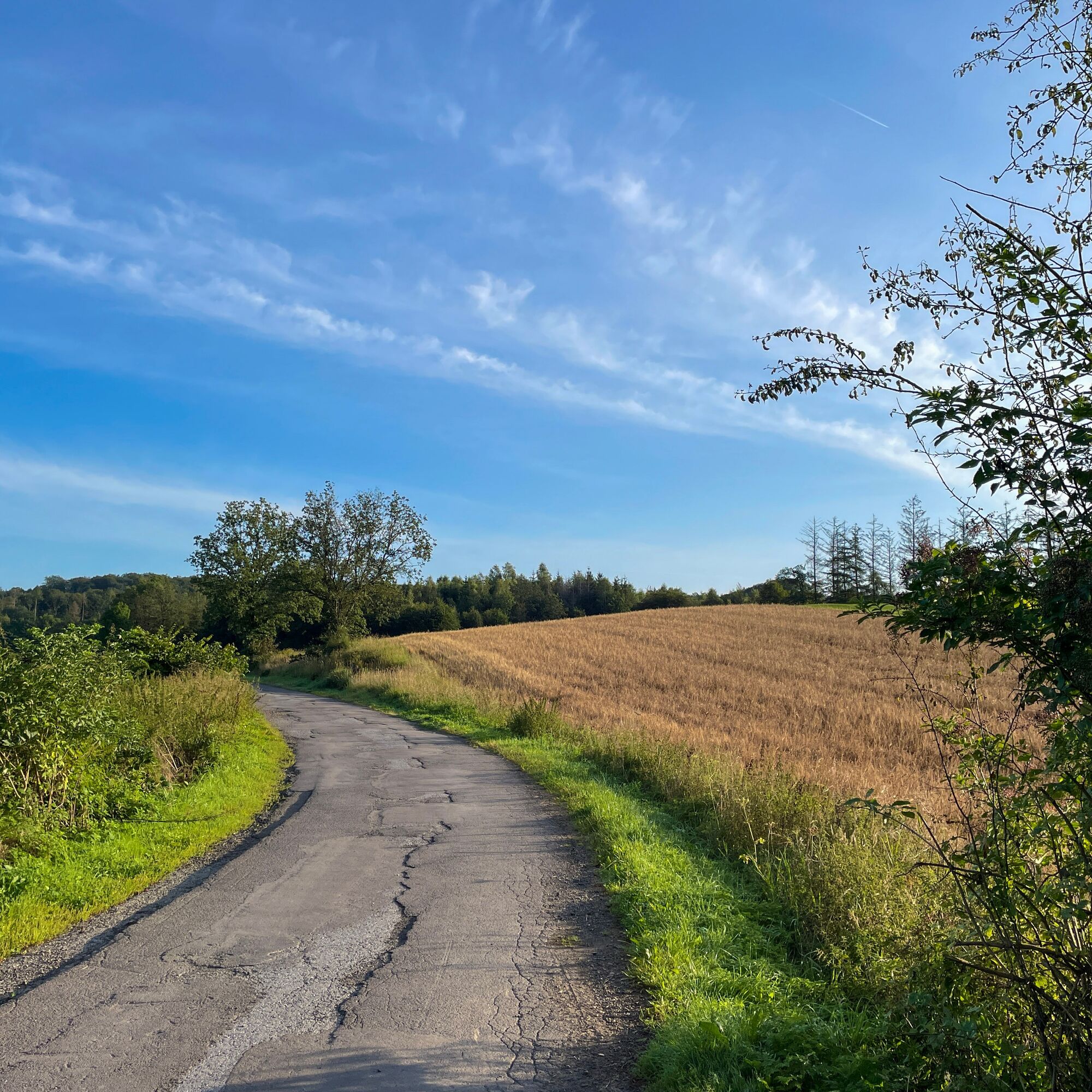
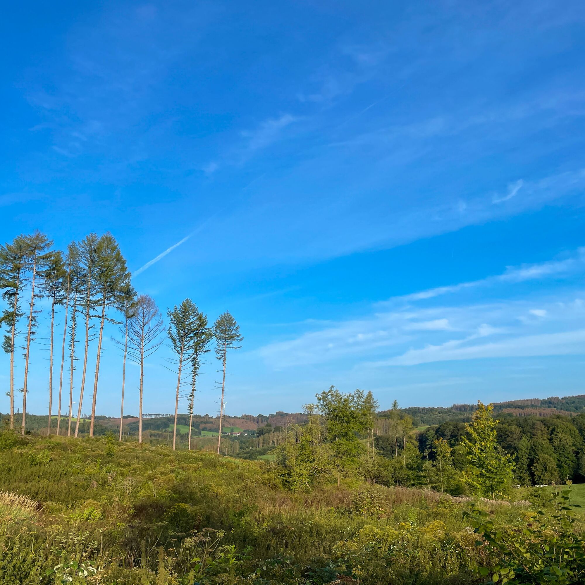
Wooded paths around Hedberg characterize the course of this circular hiking route. Further along the path, it leads downhill toward the Genkeltalsperre, which is not walked directly on the shore path....
Wooded paths around Hedberg characterize the course of this circular hiking route. Further along the path, it leads downhill toward the Genkeltalsperre, which is not walked directly on the shore path. However, you can certainly catch one or another glimpse. Passing through the small district of Heed, the circular route leads back to the starting point.

Due to the natural paths, sturdy footwear is recommended.
After rainy days, the ground on site can be partially soft.
First aid: In an emergency call the emergency number 112. Provide the rescue point number. Rescue points are marked access points for emergency vehicles in the forest. If the nearest rescue point is not known, your location can be retrieved directly via AML (Advanced Mobile Location) during the emergency call.
Access via the A45, Meinerzhagen motorway exit, then drive on the bypass towards Gummersbach. At the second roundabout turn left towards Derschlag and then turn right in the following hairpin bends towards the district of Heed. Here, after a few hundred meters, you will reach the Heed hiking car park with access to the circular hiking route.
Coming from the west (Bergisches Land / Rhineland) on the L306, after reaching the town entrance sign, keep right at the first roundabout towards Derschlag. In the following hairpin bends turn right towards the district of Heed. Here, after a few hundred meters, you will reach the Heed hiking car park with access to the circular hiking route.
With the RB 25 coming from Cologne or Lüdenscheid, get off at Meinerzhagen station.
Free parking spaces are available at the Heed hiking car park in the homonymous district.
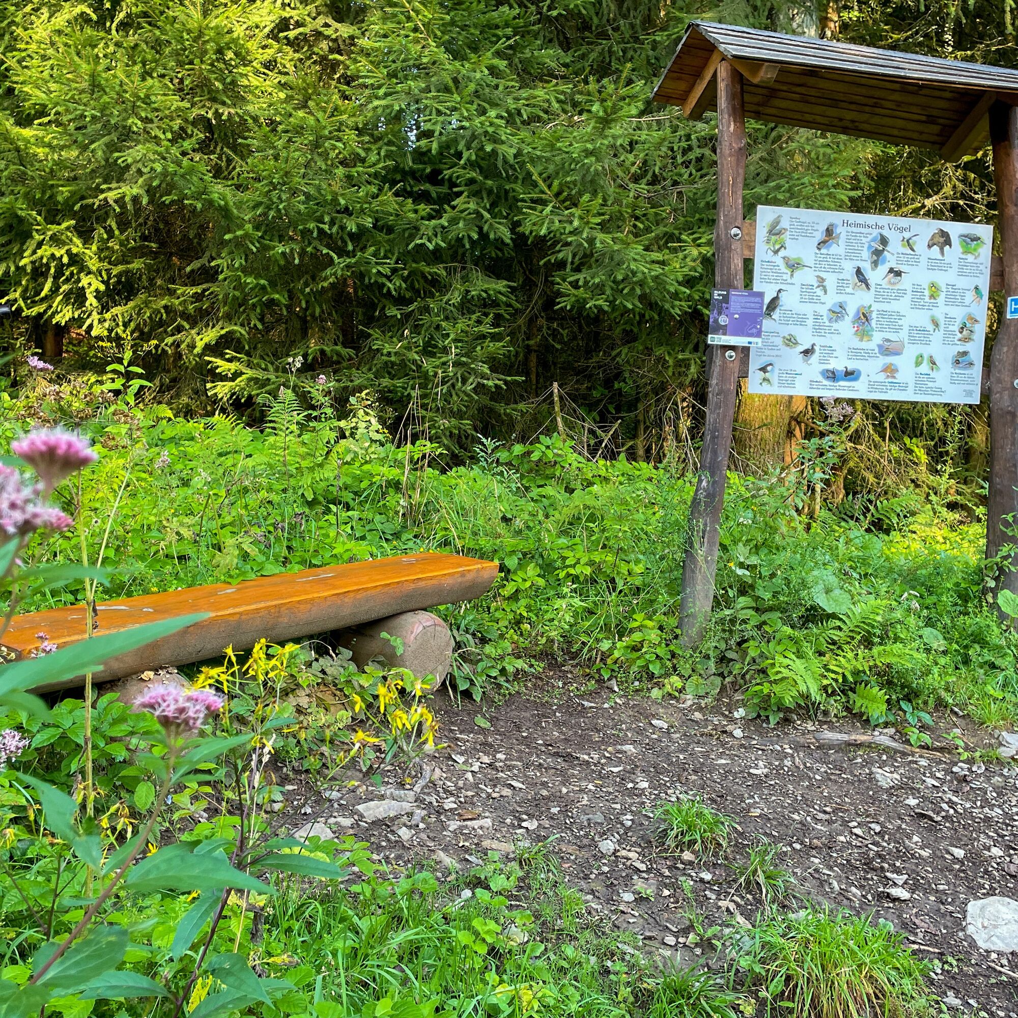
As a guest in the forest, we show understanding, respect, and proper behavior to ensure the benefit, protection, and recreation of our forest.
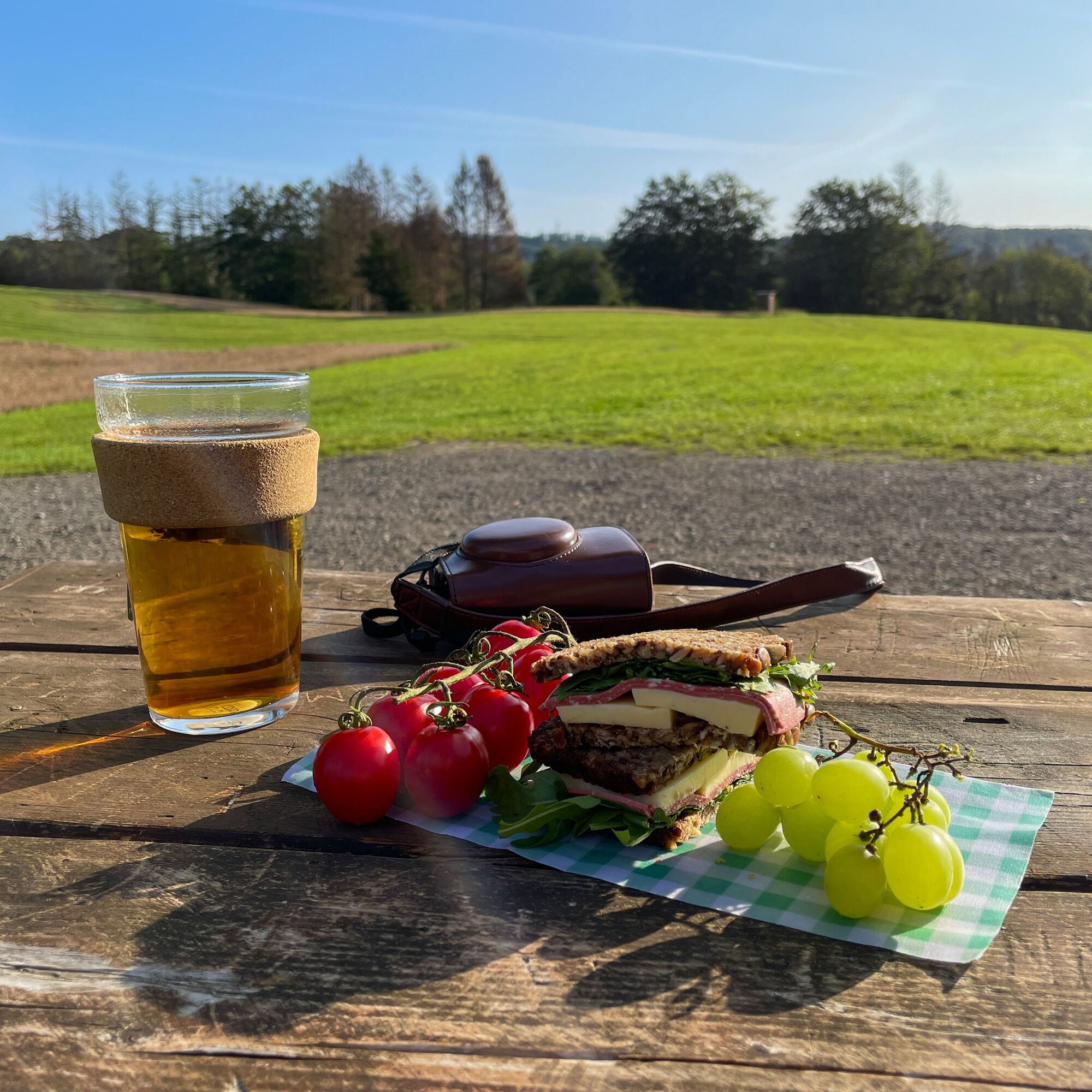
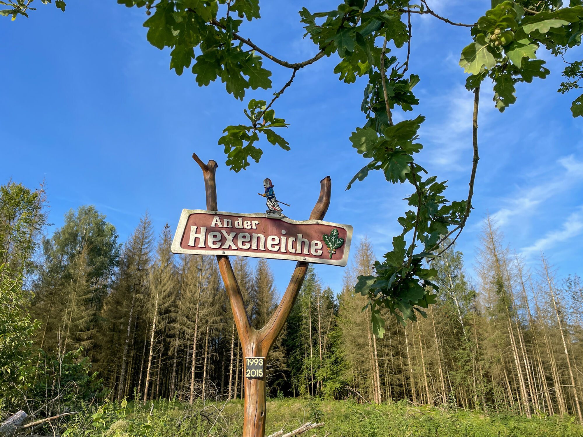
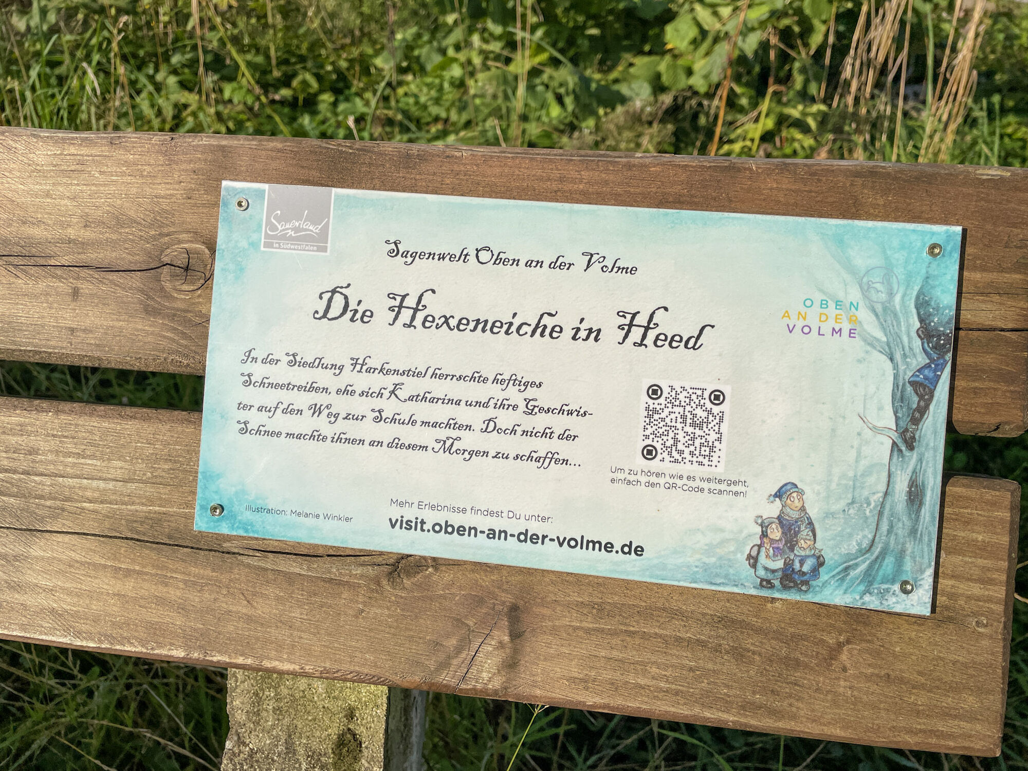
A rest in a "legendary" environment at the Hexeneiche.
Information about the Youth Hostel Meinerzhagen Heed as a forest and environmental education center can be obtained by calling Tel. 02354/7046800.
Popularne wycieczki w okolicy
- 4,5
Sagenweg Lindlar-Frielingsdorf
średniWędrówka 14,4 km - 4,0
Rundweg an der Versetahlsperre
średniWędrówka 10,9 km - 5,0
Um die Nordhelle
średniWędrówka 6,81 km Talsperren Genkel und Agger
światłoMountainbike 22,5 km- 4,0
Drolshagen A4 varied and relaxing
średniWędrówka 10,3 km Kierspe-Rönsahl: Circular hike along the Wipper and Lingesetalsperre
średniWędrówka 10,9 kmEnergieweg (Streifzug #10)
średniWędrówka 12,0 kmNordic Walking (black)
ciężkiNordic Walking 10,0 kmRund um die Schnipperinger Mühle
światłoWędrówka 5,29 kmWasser-Weitblick-Pfad (Rundweg am Sauerland-Höhenflug)
średniWędrówka 11,8 km
Wędrówki i tropienie


Nie przegap ofert i inspiracji na następne wakacje
Twój adres e-mail została dodana do listy mailingowej.