


Circular hiking route Kierspe (A6)
Varied hike on both sides of the Volme. Past the idyllic Jubachtalsperre, through one of the oldest settlements of the town of Kierspe: Beckinghausen, and also along the industrially influenced Bollwerk...
Varied hike on both sides of the Volme. Past the idyllic Jubachtalsperre, through one of the oldest settlements of the town of Kierspe: Beckinghausen, and also along the industrially influenced Bollwerk settlement in the Volme valley.
An additional highlight is the "legend site" in Bollwerk with a digital audio experience.

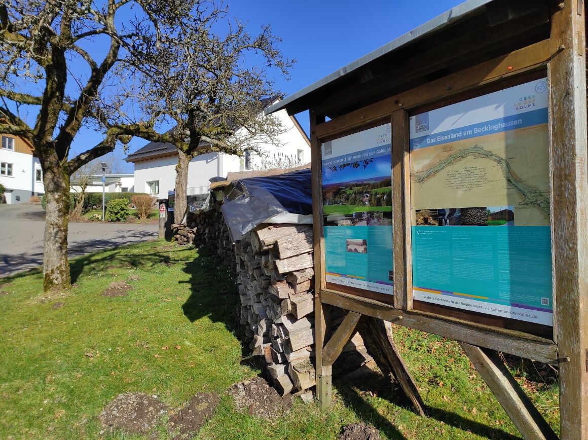
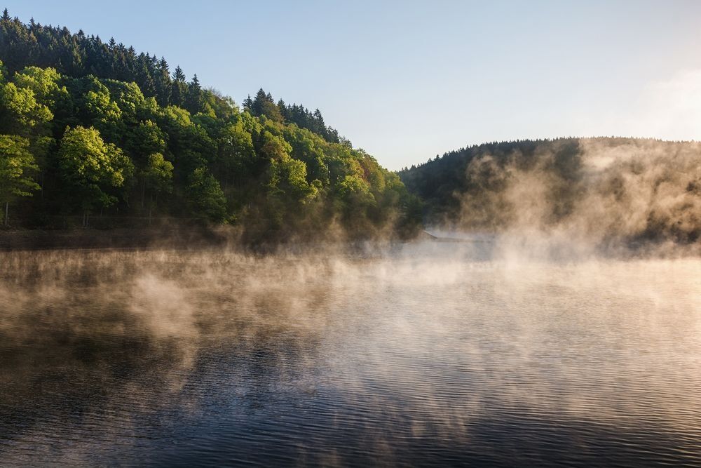
Starting at the Vollme / Herlinghausen hiking car park, we follow the paved access road up to the Jubachtalsperre reservoir. Here we cross the dam and follow the shore path for a few meters before the hiking trail leads us up the hill on a smaller path through a bend. We reach the Brake settlement and now follow the small road straight towards Beckinghausen, which soon lies before us. Through the village and past historic residential houses, the route slowly descends again on field paths. Here we now reach the Bollwerk settlement, where the B54 must be crossed. On the other side, on the left, is the small playground with the legend site.
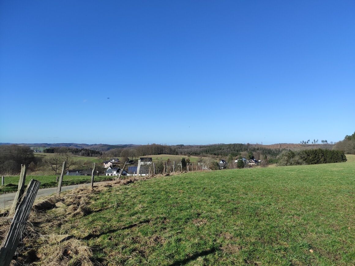
Our hiking route now goes a short distance along the road and takes the first turn to the left. Continuing through the residential street, past the former "Sessinghauser Hammer," it now goes briefly uphill through the forest and then along the road with beautiful views down into the valley.
Shortly after the Berkenbaum settlement, where a stop at Haus Berkenbaum is possible, we leave the road and turn left into the field path. This now leads us to Herlinghausen, where we again follow the small road downhill to reach the hiking car park.
Sturdy footwear is recommended.
First aid: In case of emergency, dial the emergency number 112. Provide the rescue point number. Rescue points are marked access points in the forest for rescue vehicles. If the nearest rescue point is unknown, your location can be accessed directly via AML (Advanced Mobile Location) during the emergency call.
Arrival via B54 from Hagen and Meinerzhagen possible. The Vollme / Herlinghausen hiking car park is located directly adjacent to the mentioned federal road.
Arrival by RB25 train (from Lüdenscheid or Cologne) to Kierspe station. From here, continuation by bus, line 58, is possible. Get off at Vollme Jubach bus stop. More information on bus connections in the region at: https://www.mvg-online.de/.
Free parking is available at the Vollme/Herlinghausen hiking car park.
As a guest in the forest, we show understanding, respect and proper behavior to ensure the benefit, protection and recreation of our forest.
Plan a break in Kierspe-Bollwerk at the playground. Here children can play around and people of all ages can listen to the legendary audio experience.
Refreshments available at Haus Berkenbaum (Tel. 02359/90730, https://www.haus-berkenbaum.de/).
Popularne wycieczki w okolicy
-
4,0
Rundweg an der Versetahlsperre
średniWędrówka 10,9 km -
5,0
Um die Nordhelle
średniWędrówka 6,81 km -
Talsperren Genkel und Agger
światłoMountainbike 22,5 km -
5,0
Spazier- und Wanderweg Genkeltalsperre
średniWędrówka 9,85 km -
Kierspe-Rönsahl: Circular hike along the Wipper and Lingesetalsperre
średniWędrówka 10,9 km -
Herscheid - Plettenberg: Museumseisenbahntour mit Versetalsperre
ciężkiJazda na rowerze 47,7 km -
Energieweg (Streifzug #10)
średniWędrówka 12,0 km -
Nordic Walking (black)
ciężkiNordic Walking 10,0 km -
Rund um die Schnipperinger Mühle
światłoWędrówka 5,29 km -
Lehrpfad & Spazierweg Fürwigge-Talsperre - Staunen & Entdecken
światłoTrasa tematyczna 4,11 km
Wędrówki i tropienie


Nie przegap ofert i inspiracji na następne wakacje
Twój adres e-mail została dodana do listy mailingowej.