


Erwitte: Muckenbruch March
Zdjęcia naszych użytkowników

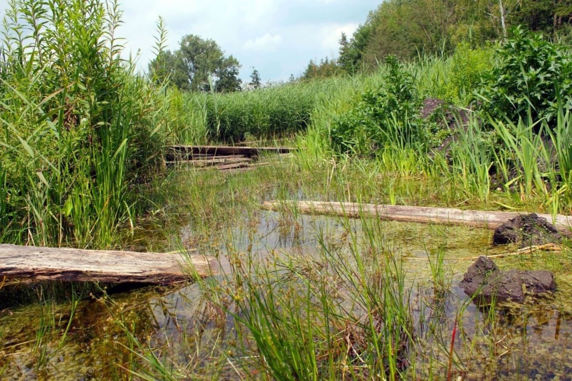
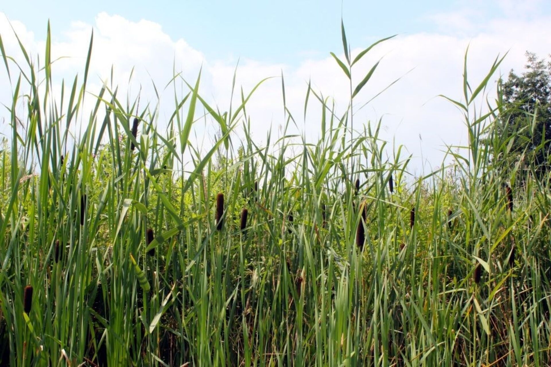
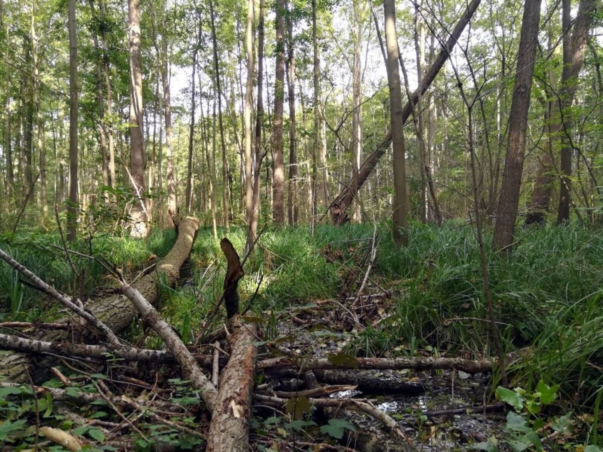
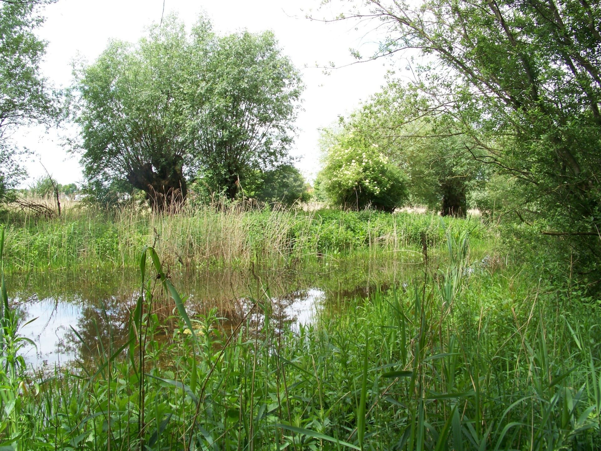
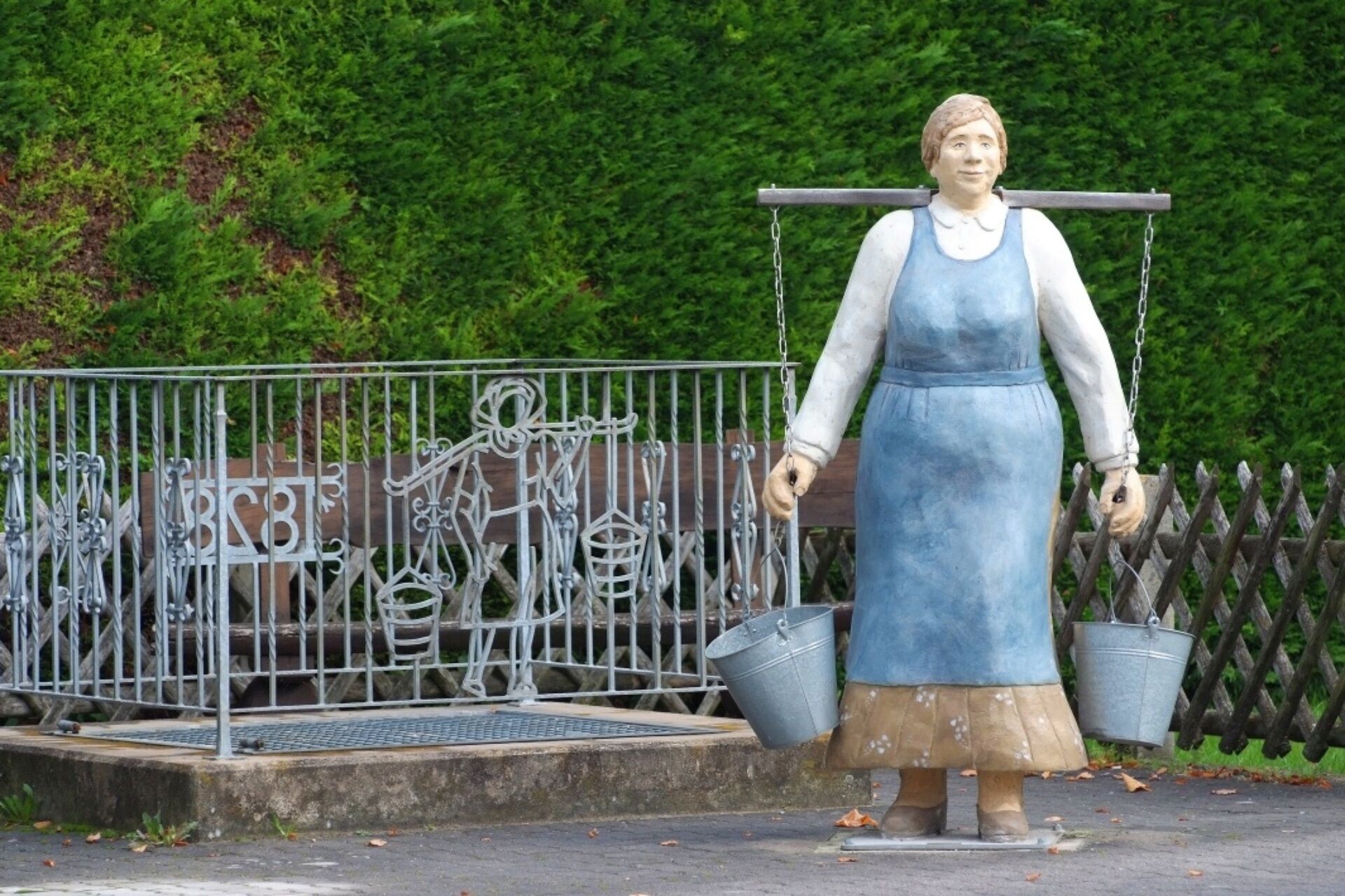
The name Muckenbruch actually derives from the use of peat as fuel. “Mucken” are the brick-sized peat blocks that were cut for this purpose. As salt extraction gained more momentum, more peat was also...
The name Muckenbruch actually derives from the use of peat as fuel. “Mucken” are the brick-sized peat blocks that were cut for this purpose. As salt extraction gained more momentum, more peat was also extracted from the Muckenbruch.
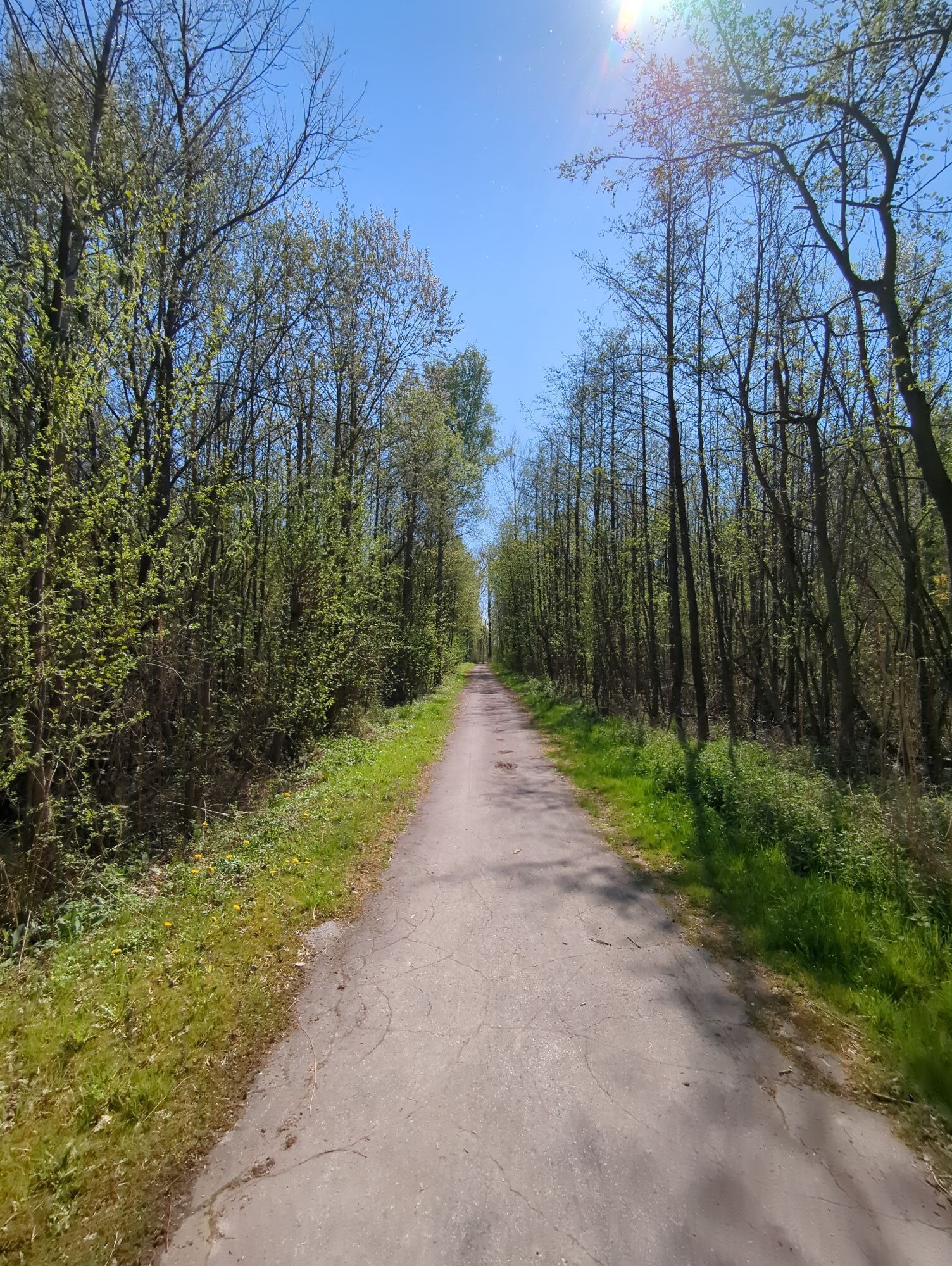
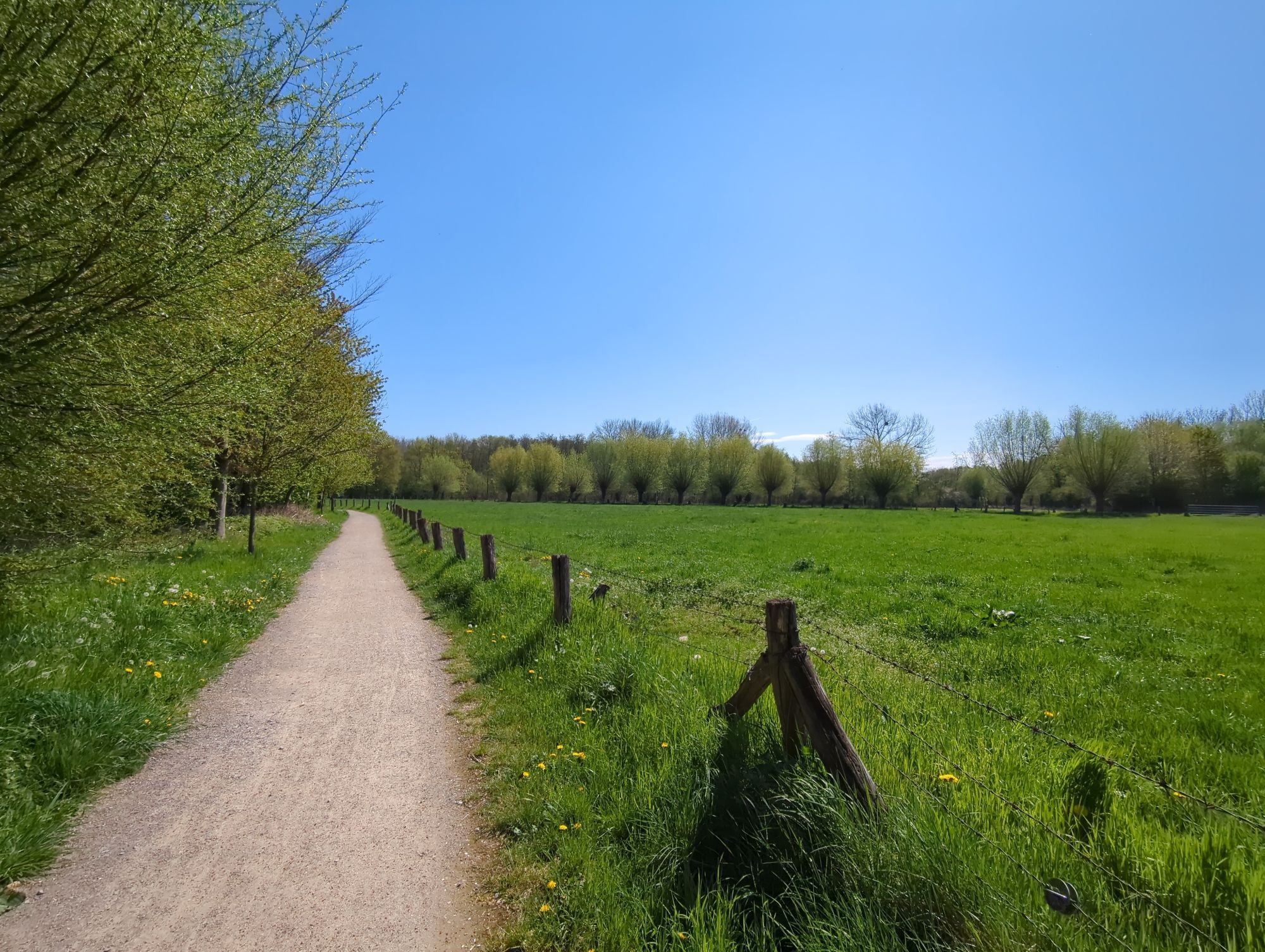
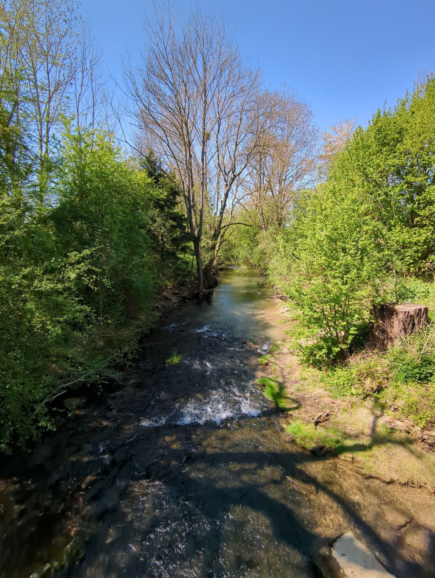
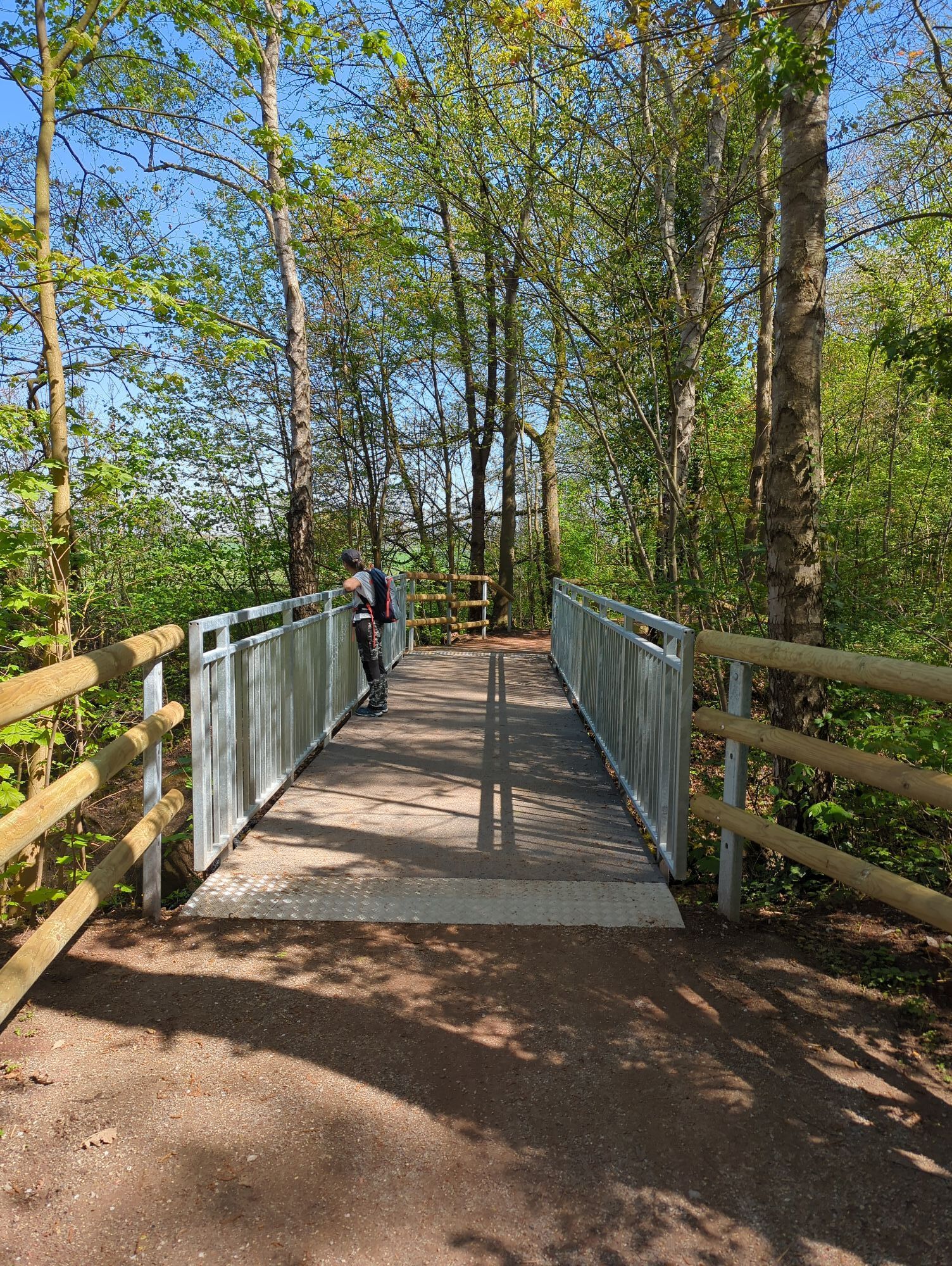
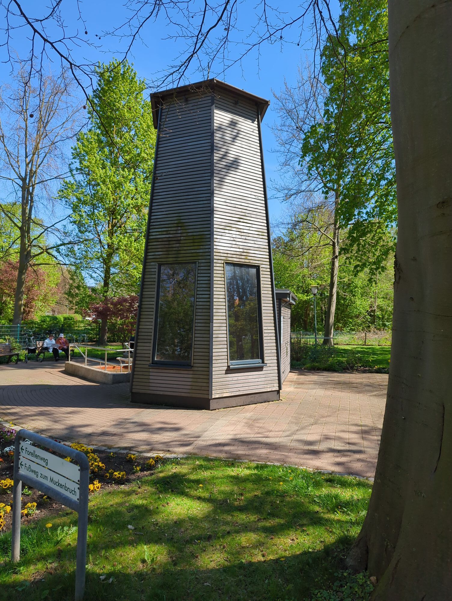
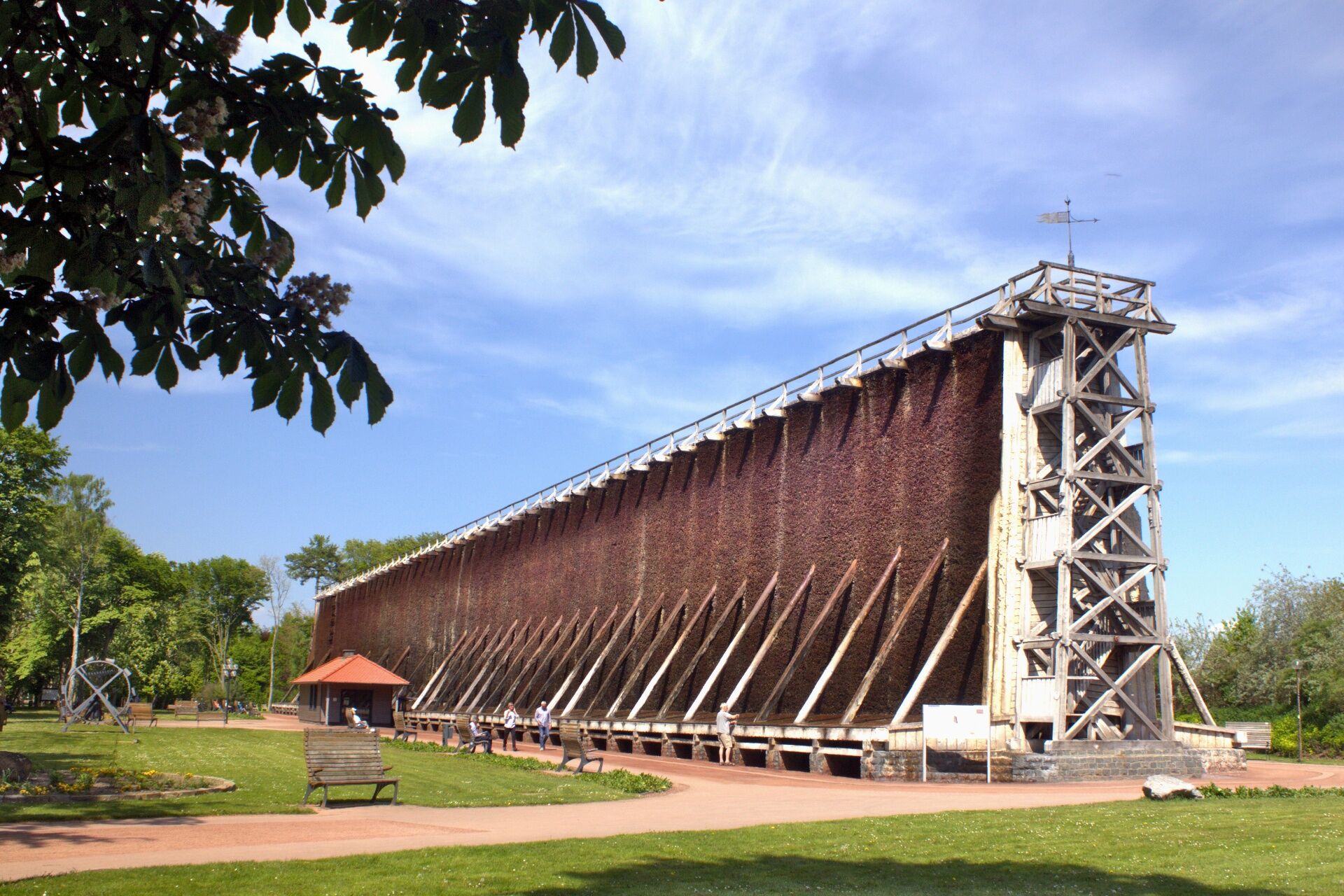
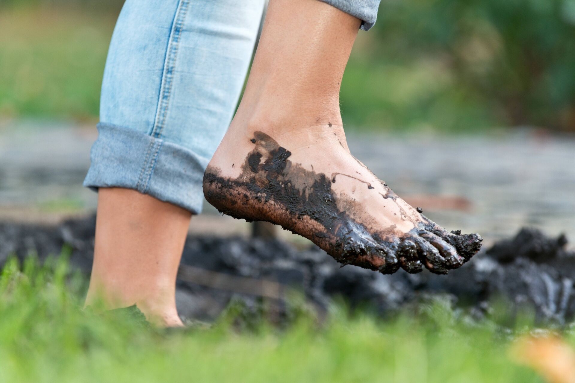
The “Muckenbruch March” leads through the spa park past the two large, historic graduation towers as well as the Kneipp facility with barefoot path. Along the trout path, it goes over the bridge at the Gieseler into the nature reserve and peat extraction area "Muckenbruch" and back through the town center and the spa promenade to the fountain in front of the Hellweg brine thermal baths.
There are dining options along the route.

Tak
Tak
A 44 Dortmund – Kassel highway, exit Erwitte/Anröchte – via Erwitte to Bad Westernkotten (approx. 8 km)
or
A 2 Cologne – Hanover highway, exit Rheda/Wiedenbrück – continue on federal road 55 via Lippstadt to Bad Westernkotten (approx. 28 km)
or via the following federal roads:
B1 Paderborn – Salzkotten – Geseke – Bad Westernkotten
B1 Dortmund – Unna – Werl – Soest – Erwitte – Bad Westernkotten
B55 Meschede – Warstein – Anröchte – Erwitte – Bad Westernkotten
B 61/B 55 Bielefeld – Gütersloh – Rheda/Wiedenbrück – Lippstadt – Bad Westernkotten
Get off at Bad Westernkotten, Zentrum stop
Popularne wycieczki w okolicy
-
4,0
Pilgerweg "Anders gehen", Bad Westernkotten, Regierungsbezirk Arnsberg/Deutschland
Wędrówka 9,74 km -
Wadersloh, Deutschland
światłoWędrówka 9,57 km -
Hellweg Radio Bäder-Route
światłoJazda na rowerze 56,4 km -
Büren | Radtour Bü1
światłoJazda na rowerze 20,3 km -
Nature-Saline-Moor Discovery Trail
średniWędrówka 14,2 km -
Lippeauenweg L1
światłoWędrówka 10,7 km -
A2 - Kleine Genießerwanderung I
światłoWędrówka 4,86 km -
A4 - Kleine Genießerwanderung II
światłoWędrówka 5,93 km -
Rüthen - Romantische Dörfer und idyllisches Wäldchen
światłoJazda na rowerze 24,9 km -
Lippstadt: Green Corner walking path
średniWędrówka 3,12 km

Wędrówki i tropienie


Nie przegap ofert i inspiracji na następne wakacje
Twój adres e-mail została dodana do listy mailingowej.