







Road bike - Medium-length route around Lennestadt

Poziom trudności: 2
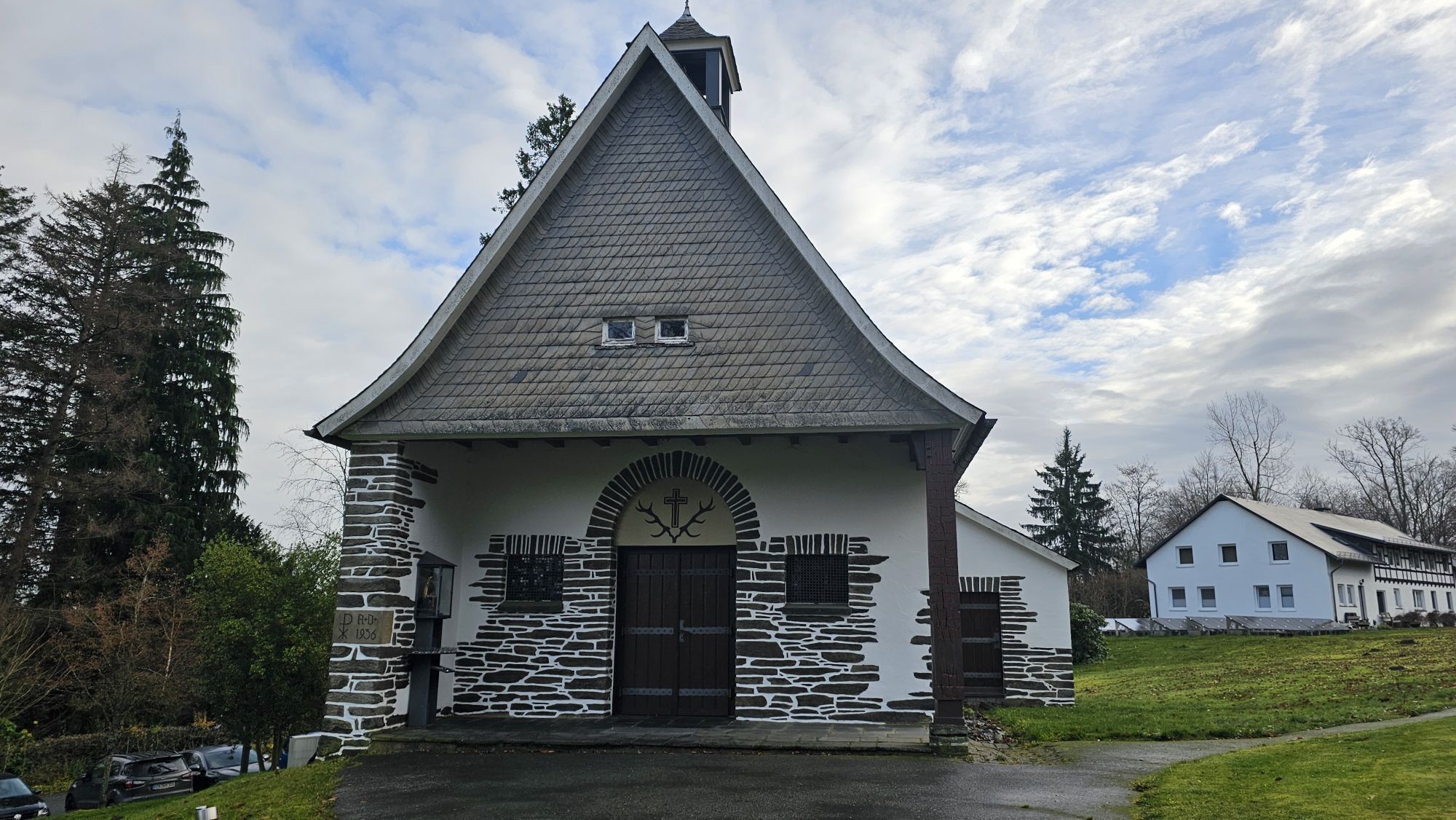
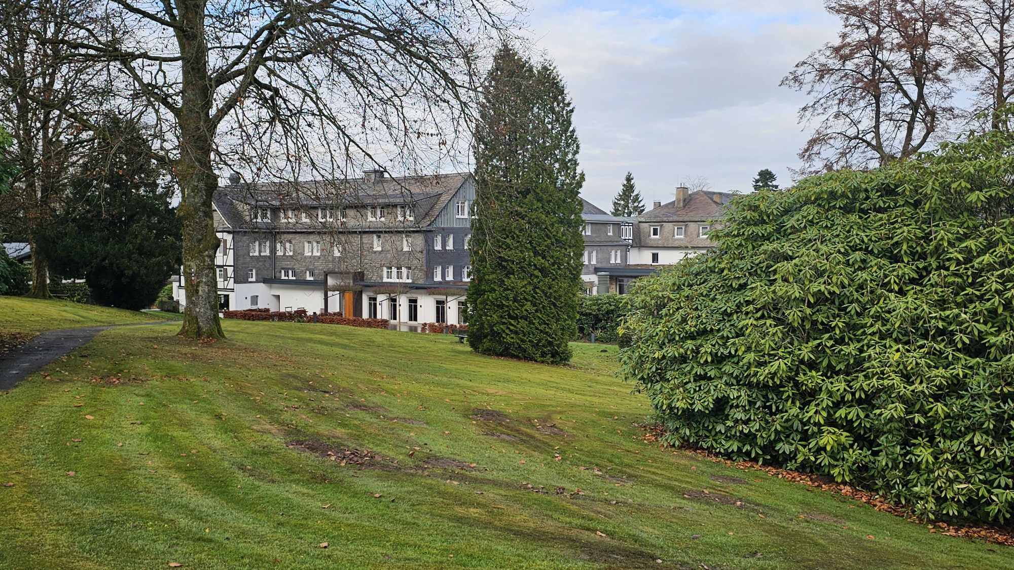
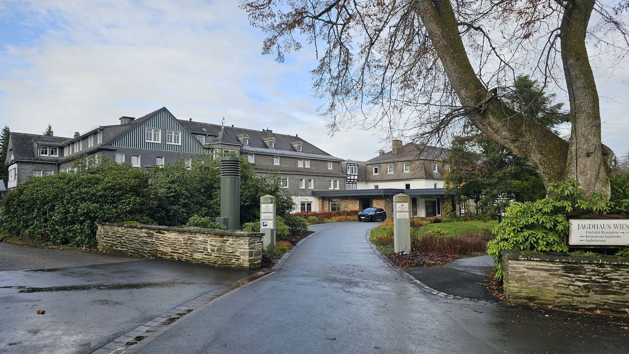
After starting at the Lennestadt-Altenhundem train station, the route gently rolls through Kirchhundem to Oberhundem. Next come the famous serpentine bends over the Rhein-Weser watershed to the other side...
After starting at the Lennestadt-Altenhundem train station, the route gently rolls through Kirchhundem to Oberhundem. Next come the famous serpentine bends over the Rhein-Weser watershed to the other side of the Rothaar Mountains. There, the route follows the Eder towards Bad Berleburg, to then take on the long climb from Aue-Wingeshausen via Jagdhaus back to the Sauerland side of the mountains. This climb was also conquered by road bike pros in the 2008 Deutschland-Tour. A fantastic descent leads down into the Lenne valley to Schmallenberg. Through the Haverland with its open and rolling landscape, the tour then continues over Oedingen and Elspe, the location of the famous Karl May Festival, back to Altenhundem.


Altenhundem - Kirchhundem - Rhein-Weser Tower - Aue-Wingeshausen - Jagdhaus - Fleckenberg - Schmallenberg - Werpe - Arpe - Bracht - Brenschede - Oedingen - Altenvalbert - Elspe - Halberbracht - Meggen - Altenhundem
No special equipment is required for this route.
from north and south via the A 45 and B55 (highway exit Olpe, B 55 towards Lennestadt),
from the west via the A 4/A 45 (highway exit Olpe, B 55 towards Lennestadt),
from the east via the A 44 / B 55 (highway exit Anröchte, B 55 towards Meschede).
Via the regional route Essen-Siegen, destination station Lennestadt-Altenhundem, Lennestadt-Grevenbrück, or Kirchhundem.
There are connections every half hour from Hagen and Siegen.
A park & ride parking lot is available in Lennestadt-Altenhundem directly at the train station.
2
More information at www.bike-arena.de
Kirchhundem: Rhein-Weser Tower
Elspe: Karl May Festival
Uzyskaj wgląd
Zawsze na żywo z ponad 9 500 kamer internetowych. bergfex Jako użytkownik Pro, możesz teraz zobaczyć odpowiednie kamery internetowe dla wielu wycieczek w aplikacji wycieczki od. Pozwala to na bezpośredni podgląd aktualnych warunków.
Popularne wycieczki w okolicy
-
5,0
Rothaarsteig Trail Oberhundem Mountain Tour
średniWędrówka 11,5 km -
5,0
Rothaarsteig
średnidługodystansowy szlak pieszy 152 km -
4,5
Golddorf-Route Holthausen
średniWędrówka 14,3 km -
5,0
Quality tour: Krenkeltal and Goldener Zapfen - ridge walk between the Rhine and Weser rivers
średniWędrówka 11,3 km -
5,0
Von Schanze über den Rothaarsteig nach Jagdhaus (ÖPNV-Tour)
średniWędrówka 14,3 km -
5,0
Veischeder Sonnenpfad - Nordschleife
ciężkiWędrówka 17,7 km -
Veischeder Sonnenpfad
średniWędrówka 37,6 km -
4,0
Golddorf-Route Fleckenberg
średniWędrówka 10,8 km -
5,0
Rundweg um Fleckenberg (F2)
średniWędrówka 13,9 km -
5,0
Sellinghauser Bergmannspfad
średniWędrówka 6,69 km
Wędrówki i tropienie


Nie przegap ofert i inspiracji na następne wakacje
Twój adres e-mail została dodana do listy mailingowej.





