






Voreifel tour – Around the Dreilägerbach Dam Valley
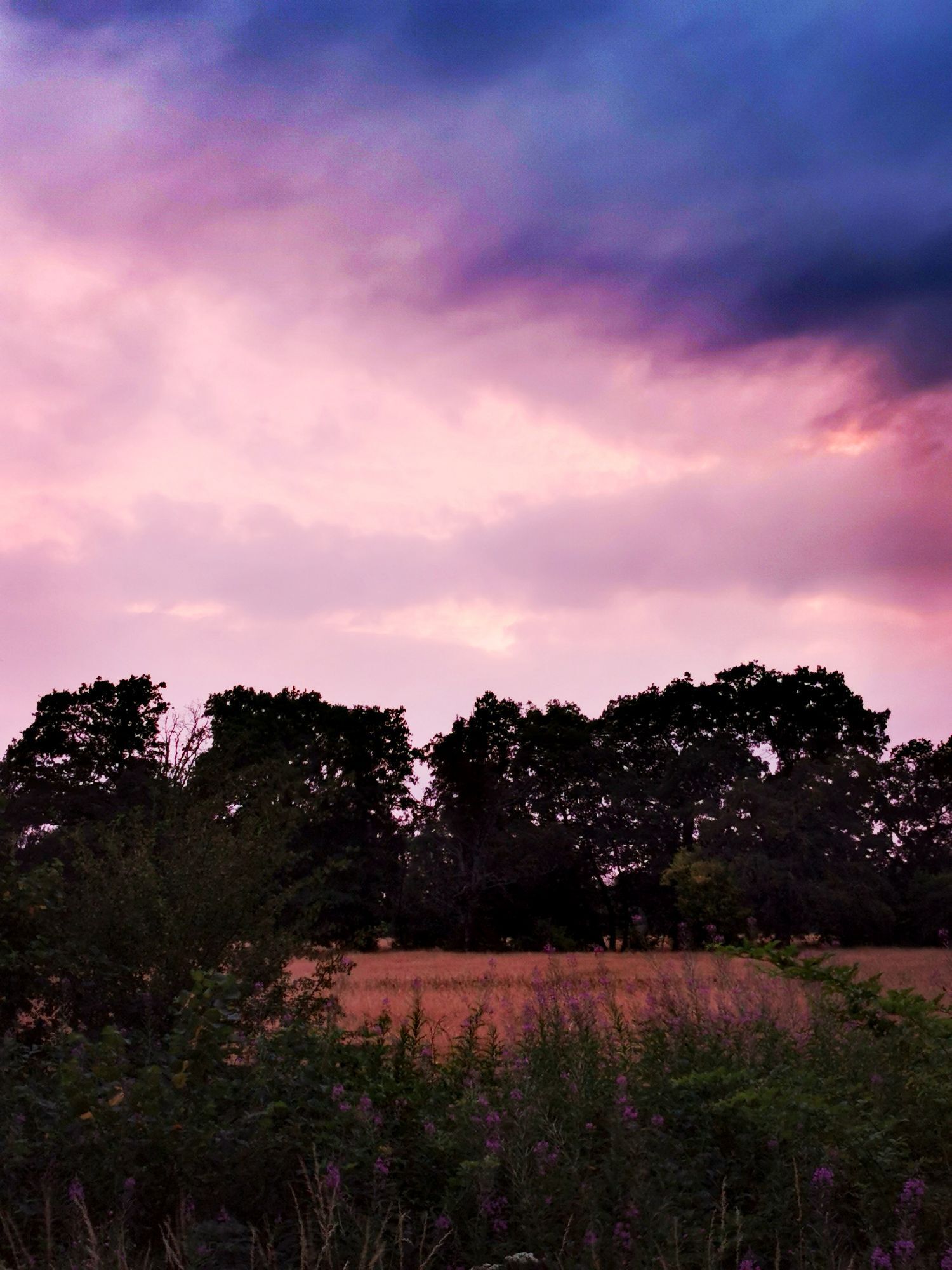
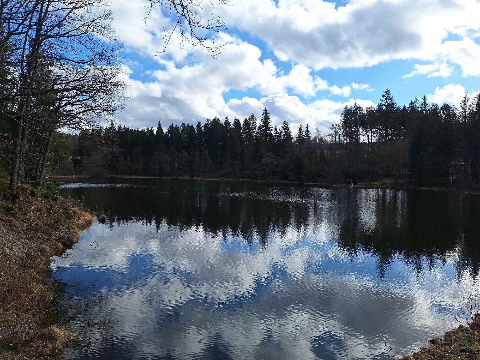
First, you will explore the gently rolling hills around Kornelimünster, which is the eastern extension of the Belgian Pays de Herve region. Soon, however, after Venwege, the vistas give way to dense foliage...
First, you will explore the gently rolling hills around Kornelimünster, which is the eastern extension of the Belgian Pays de Herve region. Soon, however, after Venwege, the vistas give way to dense foliage and pine forests. Between Roetgen and Schmithof, the Vennbahn acts as a corridor through the Raeren forest. Here you find yourself in the midst of pristine nature for a time, before you turn at Schmithof to return to more settled areas. Alongside the impressive natural landscape, you will also come across many testaments to the impressive history of this place. You will pass the medieval scenes of the former abbey town of Kornelimünster, and in Walheim you can still admire old diesel locomotives at the station. At Raeren railway station you can still see the remnants of the old railway network, with its silent witnesses to the glory days of the rail age, and the Wasserburg pottery museum, recalling the heyday of Raeren's master distillers, whose wares enjoyed an excellent reputation far beyond the national borders. Also worth a visit are the Dreiläger River Dam with its vista point, the historic centre of Breinig with its quarry stone houses, and the hamlet of Mulartshütte (population: 300), with its half-timbered and quarry stone houses.
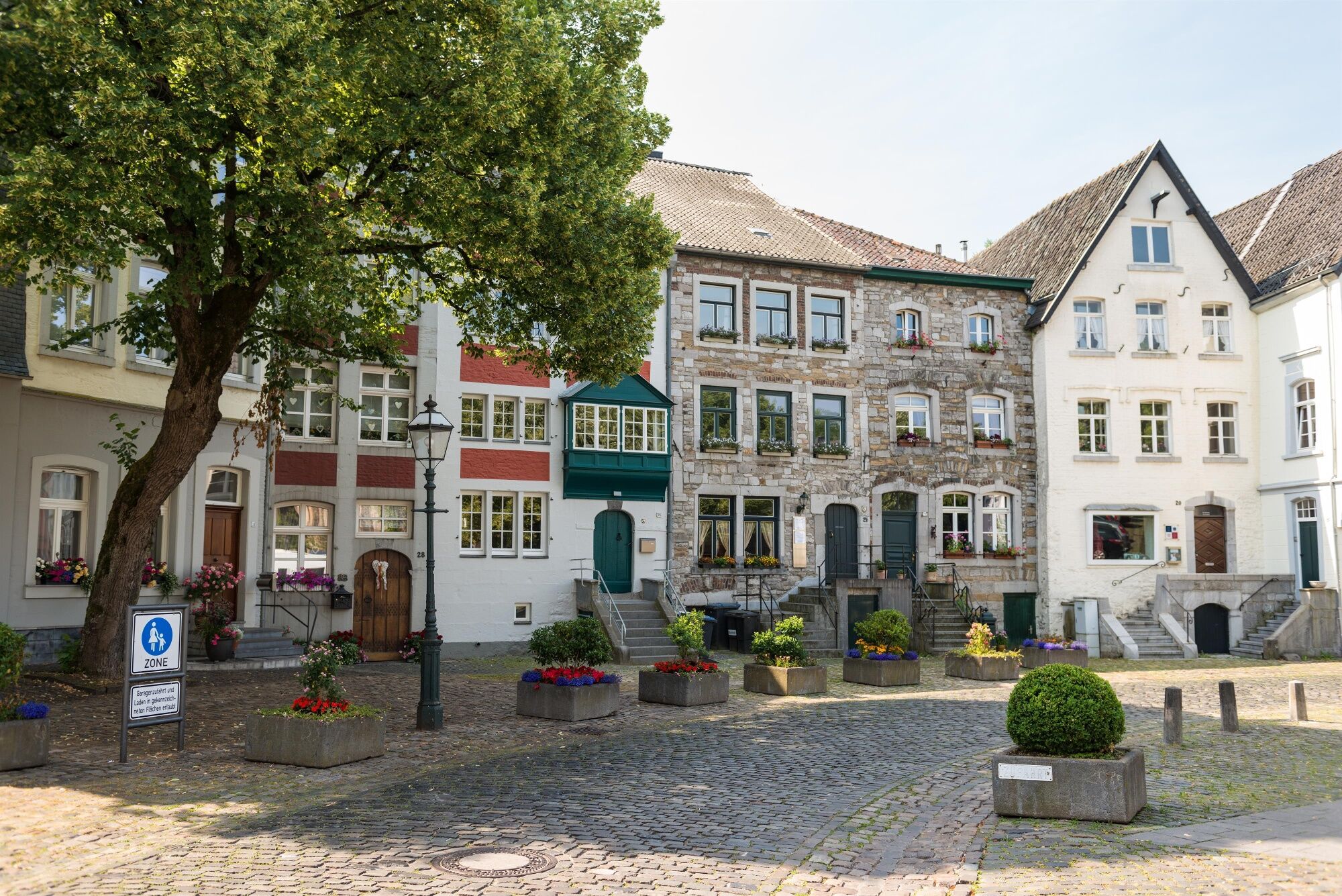

The first half of the tour consists largely of unpaved field and forest trails of the forest of Monschau. Be prepared for bumpy asphalt, especially between junctions 98 and 99 on the short stretch between Dorff and Brenigerheide, and then later once again just before Venwegen. Cyclists must be able to surmount the steep climb from Mulartshütte to the top of the hill at 454 m, a difficult ascent on poor-quality asphalt. Then, there will be a 500-metre stretch of cycling without your own bike path shortly after junction 8, and again right before and in Roetgen itself. From Roetgen, the Vennbahn takes you downhill to the lowest point in Kornelimünster on the Inde (250 m).
Routing:
The first 2.5 kilometres of the Kaiserroute will take you to Breinig to junction 99 and from there to junctions 8 and 10, and then, finally, junction 11. From here, just keep following the Vennbahn (direction junction 9), which will take you via Roetgen, Raeren and Walheim back to Kornelimünster.
Unterwegs mit Pittchen Pedale, Radwandern in der Städteregion Aachen, Radwegekarte On the way with Pittchen Pedale, bicycle touring in StädteRegion Aachen, biking map 1:50.000 with accompanying booklet, Price: 7,50 €, ISBN 978-3-89899-529-0, Meyer & Meyer Verlag
With the weather adapted clothing, enough water and a little food you are well equipped for the tour.
Please stay on the designated paths.
To plan your individual trip by car, use our journey planner and enter “Korneliusmarkt, Kornelimünster” as your destination. From there, follow the Kaiserroute to junction 99.
Please be aware that on weekdays, bicycles can only be transported on AVV buses during off-peak hours. This makes it difficult to reach the starting point with bicycles if coming by public transport. On Sundays and public holidays, cyclists are advised to travel with the AVV Fahrradbus (bicycle bus).
In the summer months, the Fahrradbus can carry you and your bicycle (in the special bike trailer) to the bus stop at Kornelimünster/Napoleonsberg (direct connection), and from there the tour can begin. In the evening, you can relax and take the Fahrradbus back to Aachen. Or, if you’re in shape for it, you can ride the 12 km distance back to Aachen on the well-paved Vennbahn.
For more information, see: www.avv.de/rad
You can park in the car park at Korneliusmarkt or one of the spaces at im Abteigarten.
You will find a variety of dining options to choose from in the village centres of Kornelimünster, Roetgen and Mulartshütte.
Popularne wycieczki w okolicy
-
4,5
Eifelsteig Etappe 3
średniWędrówka 24,5 km -
4,5
Der Jahundertweg
ciężkiWędrówka 18,2 km -
4,0
Bei Höfen auf den Eifelsteig
średniWędrówka 12,7 km -
4,5
Spuren der Allerseelenschlacht rund um Simonskall
ciężkiWędrówka 17,2 km -
4,0
Durch das Hohe Venn bei Mützenich
średniWędrówka 16,3 km -
5,0
Monschau Runde #LL2ROM V02
średniWędrówka 4,08 km -
4,5
Rursee
światłoWędrówka 10,4 km -
3,0
Von Roetgen ins Hohe Venn
średniWędrówka 14,5 km -
4,3
Entlang des Kalltalweges
średniWędrówka 11,4 km -
4,0
Monschau am rivier Roer
światłoWędrówka 15,6 km
Wędrówki i tropienie


Nie przegap ofert i inspiracji na następne wakacje
Twój adres e-mail została dodana do listy mailingowej.





