







Kur- und Nordic-Walking Weg III
This circular trail combines enjoyment of nature with beautiful panoramas. It leads through a varied landscape of meadows and gentle hills;

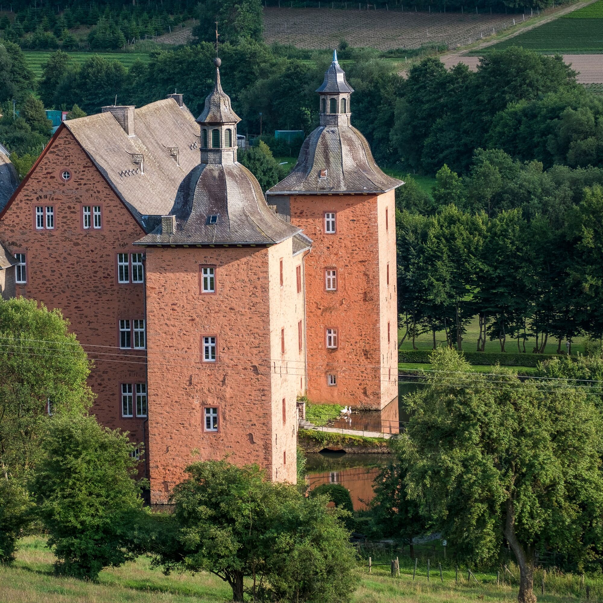

First head towards Adolphsburg Castle to walk through the castle gate. The path leads past meadows into the high forest of the Quere. There are beautiful views of the Hundem valley to the left. With a view of the village of Selbecke, we climb to the right through scrub and coppice forest to the top of the Quere. In front of us we can see the villages of Erlhof, Stelborn and Schwartmecke, behind them the forest mountains of the Heisterberg and to the left the heights at the "Steinernes Kreuz". The path continues slightly uphill to the former "Carpe Diem" hotel. From there, the route continues back to Oberhundem.
Via the Bundesstraße 55 and the L 553 towards Kirchhundem-Oberhundem.
Oberhundem town center - Pastorsgarten
Popularne wycieczki w okolicy
-
5,0
Rothaarsteig Trail Oberhundem Mountain Tour
średniWędrówka 11,5 km -
5,0
Rothaarsteig
średnidługodystansowy szlak pieszy 152 km -
5,0
Quality tour: Krenkeltal and Goldener Zapfen - ridge walk between the Rhine and Weser rivers
średniWędrówka 11,3 km -
5,0
Von Schanze über den Rothaarsteig nach Jagdhaus (ÖPNV-Tour)
średniWędrówka 14,3 km -
5,0
Veischeder Sonnenpfad - Nordschleife
ciężkiWędrówka 17,7 km -
4,0
RuHe-Pfad (Around Helden in the Repetal)
średniWędrówka 13,9 km -
Veischeder Sonnenpfad
średniWędrówka 37,6 km -
4,0
Golddorf-Route Fleckenberg
średniWędrówka 10,8 km -
5,0
Rundweg um Fleckenberg (F2)
średniWędrówka 13,9 km -
4,0
Rothaarsteig-Spur - Zinser Grenzpfad
średniWędrówka 14,4 km
Wędrówki i tropienie


Nie przegap ofert i inspiracji na następne wakacje
Twój adres e-mail została dodana do listy mailingowej.





