Wuppertal - Wuppertaler Integrations-und Bildungsverein e.V. - Neuapostolische Kirche Gemeinde Velbert-Mitte - Hauptkirche Sonnborn
ciężki
Nawigacja
Nawigacja
Pobierz tę trasę na swój telefon komórkowy
Wuppertal - Wuppertaler Integrations-und Bildungsverein e.V. - Neuapostolische Kirche Gemeinde Velbert-Mitte - Hauptkirche Sonnborn
ciężki
Rower szutrowy
65,57
km
Zeskanuj kod QR i rozpocznij nawigację w aplikacji bergfex.

Wędrówki i tropienie


Wuppertal - Wuppertaler Integrations-und Bildungsverein e.V. - Neuapostolische Kirche Gemeinde Velbert-Mitte - Hauptkirche Sonnborn
ciężki
Odległość
65,57
km
Czas trwania
04:31
h
Ascent
1 170
hm
Poziom morza
70 -
270
m
Ścieżka do pobrania
Wuppertal - Wuppertaler Integrations-und Bildungsverein e.V. - Neuapostolische Kirche Gemeinde Velbert-Mitte - Hauptkirche Sonnborn
ciężki
Rower szutrowy
65,57
km
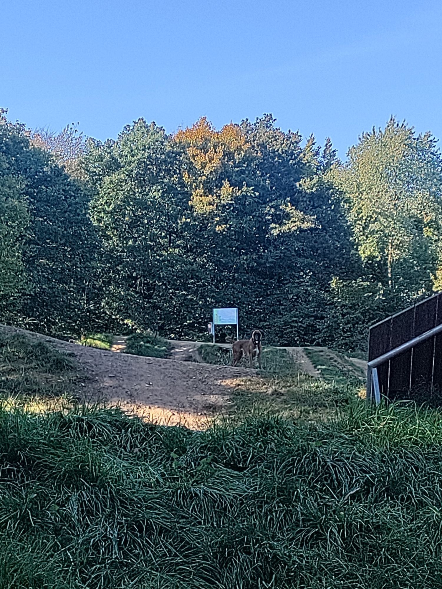
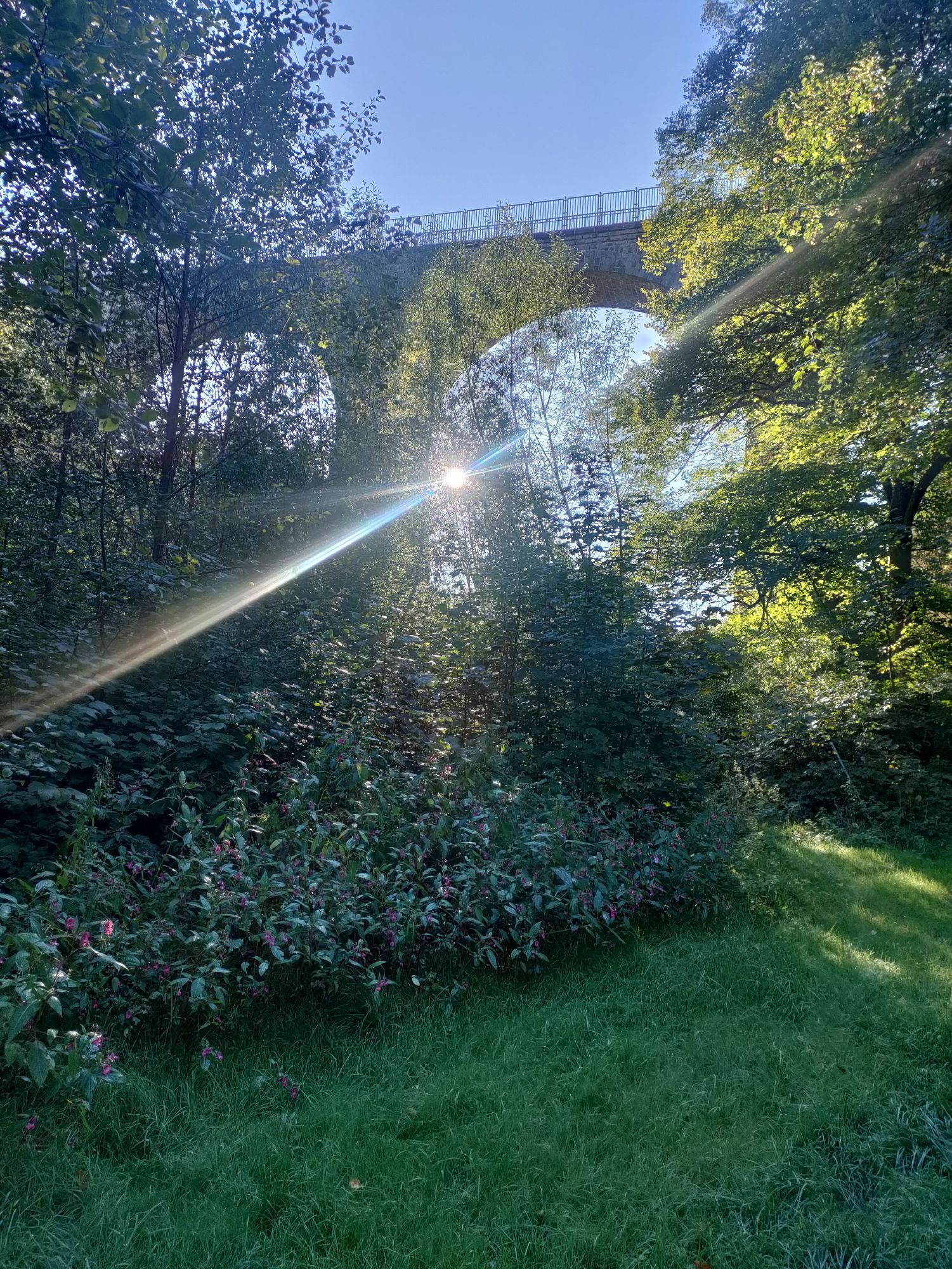
Zdjęcia naszych użytkowników
Trasa
Wuppertal
(150 m)
Miasto
0,0 km
Wülfrath
(262 m)
Miasto
12,2 km
Velbert
(249 m)
Miasto
20,4 km
Neuapostolische Kirche Gemeinde Velbert-Mitte
(238 m)
Miejsce kultu
21,3 km
Ratingen
(50 m)
Miasto
30,5 km
Velbert
(249 m)
Miasto
43,6 km
Hauptkirche Sonnborn
(147 m)
Miejsce kultu
63,1 km
Trasa
Wuppertal - Wuppertaler Integrations-und Bildungsverein e.V. - Neuapostolische Kirche Gemeinde Velbert-Mitte - Hauptkirche Sonnborn
ciężki
Rower szutrowy
65,57
km
Wuppertal
(150 m)
Miasto
0,0 km
Wuppertaler Integrations-und Bildungsverein e.V.
(144 m)
Miejsce kultu
0,2 km
Broscheidt
(218 m)
Sąsiedztwo
6,0 km
Nösenberg
(203 m)
Sąsiedztwo
6,4 km
Aprath
(173 m)
Sąsiedztwo
9,0 km
Schlupkothen
(194 m)
Sąsiedztwo
10,5 km
Wülfrath
(262 m)
Miasto
12,2 km
Kocherscheidt
(265 m)
Sąsiedztwo
14,1 km
Santorini Grill
(263 m)
Restauracja
16,3 km
Casa Lo Monaco
(265 m)
Restauracja
16,4 km
Tönisheide
(266 m)
Sąsiedztwo
16,4 km
Pizzeria Gardasee
(266 m)
Restauracja
16,5 km
Am Schlagbaum
(252 m)
Restauracja
18,0 km
Velbert
(249 m)
Miasto
20,4 km
Nordstadt
(236 m)
Sąsiedztwo
21,2 km
Neuapostolische Kirche Gemeinde Velbert-Mitte
(238 m)
Miejsce kultu
21,3 km
Unterstadt
(228 m)
Sąsiedztwo
21,8 km
Hetterscheidt
(219 m)
Sąsiedztwo
24,4 km
Migua
(172 m)
Sąsiedztwo
25,3 km
Heiligenhaus
(190 m)
Miasto
26,7 km
Unterilp
(146 m)
Sąsiedztwo
28,9 km
Ratingen
(50 m)
Miasto
30,5 km
Unterilp
(146 m)
Sąsiedztwo
34,9 km
Heiligenhaus
(190 m)
Miasto
37,3 km
Migua
(172 m)
Sąsiedztwo
38,8 km
Hetterscheidt
(219 m)
Sąsiedztwo
39,7 km
Unterstadt
(228 m)
Sąsiedztwo
42,1 km
Neuapostolische Kirche Gemeinde Velbert-Mitte
(238 m)
Miejsce kultu
42,7 km
Nordstadt
(236 m)
Sąsiedztwo
42,8 km
Velbert
(249 m)
Miasto
43,6 km
Am Schlagbaum
(252 m)
Restauracja
46,0 km
Pizzeria Gardasee
(266 m)
Restauracja
47,5 km
Casa Lo Monaco
(265 m)
Restauracja
47,6 km
Tönisheide
(266 m)
Sąsiedztwo
47,6 km
Santorini Grill
(263 m)
Restauracja
47,7 km
Kocherscheidt
(265 m)
Sąsiedztwo
51,1 km
Wülfrath
(262 m)
Miasto
52,6 km
Schlupkothen
(194 m)
Sąsiedztwo
54,2 km
Aprath
(173 m)
Sąsiedztwo
55,9 km
Nösenberg
(203 m)
Sąsiedztwo
58,5 km
Broscheidt
(218 m)
Sąsiedztwo
59,0 km
Lüntenbeck
(171 m)
Sąsiedztwo
60,1 km
Varresbeck
(185 m)
Sąsiedztwo
61,5 km
Sonnborn
(137 m)
Sąsiedztwo
62,7 km
Hauptkirche Sonnborn
(147 m)
Miejsce kultu
63,1 km
Zoo/Stadion
(133 m)
Stacja kolejowa
63,3 km
Wuppertaler Integrations-und Bildungsverein e.V.
(144 m)
Miejsce kultu
65,3 km
Wuppertal
(150 m)
Miasto
65,5 km
Nie ma jeszcze recenzji
Popularne wycieczki w okolicy
-
5,0
Neandertaler Runde
światłoWędrówka 12,6 km -
4,8
Der Baldeneysteig
średniWędrówka 26,0 km -
4,7
Stindertal (A2 Trail)
światłoWędrówka 7,59 km -
3,0
Rotthäuser Höhe und Tal
światłoWędrówka 9,41 km -
5,0
Bergischer Weg - 1. Etappe
światłoWędrówka 11,9 km -
Erkrather Runde
światłoWędrówka 7,29 km -
Panorama Radweg Niederbergbahn
światłoJazda na rowerze 35,6 km -
Bergischer Weg - Etappe 4: Solingen-Gräfrath - Solingen-Burg
średnidługodystansowy szlak pieszy 23,6 km -
Bergischer Weg - Etappe 3: Wülfrath - Solingen-Gräfrath
średnidługodystansowy szlak pieszy 25,0 km -
Neanderlandsteig
światłoWędrówka 23,7 km
Wędrówki i tropienie

Ponad 550.000 propozycji wycieczek, szczegółowe mapy i intuicyjny planer tras sprawiają, że aplikacja jest niezbędna dla wszystkich entuzjastów przyrody.

Nie przegap ofert i inspiracji na następne wakacje
Zapisz się do newslettera
Błąd
Wystąpił błąd. Spróbuj ponownie.
Dziękujemy za rejestrację
Twój adres e-mail została dodana do listy mailingowej.
Wycieczki po całej Europie
Austria
Szwajcaria
Niemcy
Włochy
Słowenię
Francja
Holandia
Belgia
Polska
Liechtenstein
Czechy
Słowacja
Hiszpania
Chorwacja
Bośnia i Hercegowina
Luksemburg
Andorra
Portugalia
Islandia
Wielka Brytania
Irlandia
Grecja
Albania
Macedonia Północna
Malta
Norwegia
Czarnogóra
Mołdawia
Kosowo
Węgry
San Marino
Rumunia
Estonia
Łotwa
Białoruś
Cypr
Litwa
Serbia
Bułgaria
Monako
Dania
Szwecja
Finlandia