






Wide views and sunny heights (Ot 2)

We are currently out on the hiking trails in the region and are adapting the texts to the current trail routes. Thank you for your understanding!



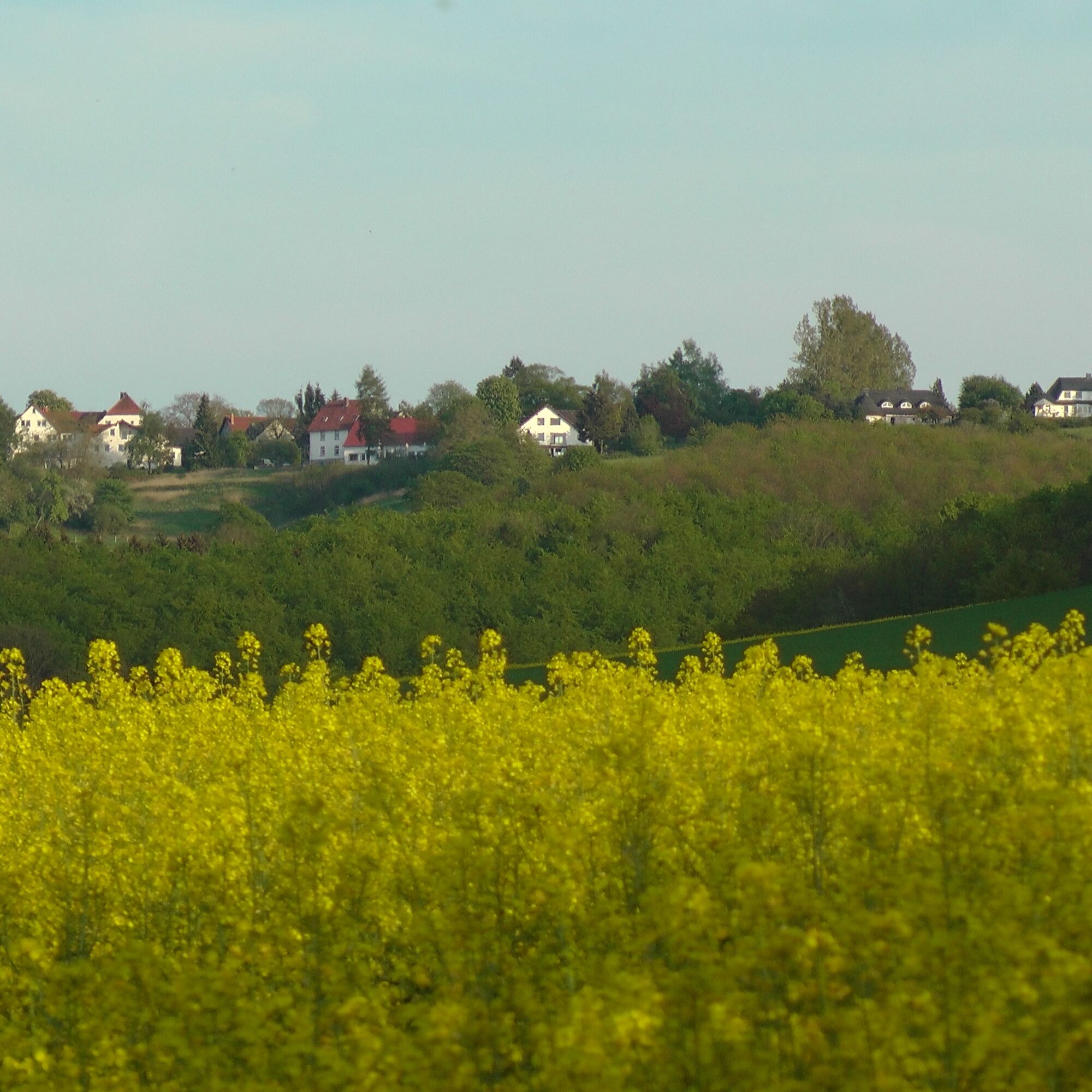
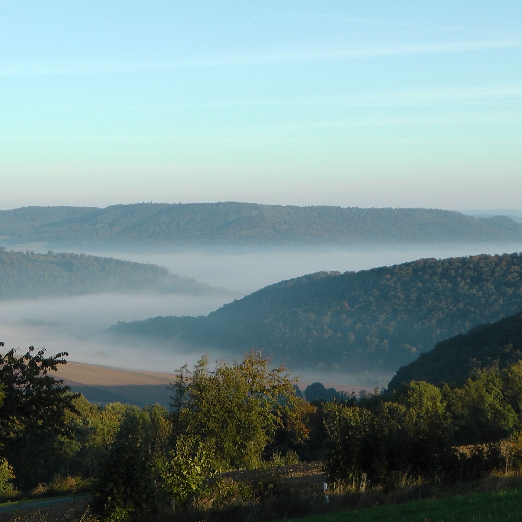

Sturdy footwear, possibly self-catering from backpack.
From Holzminden via the B 83 to Brevörde. At the exit of Brevörde, turn left onto the L 428. Follow the road, drive through Ottenstein and after some time turn left onto the K 41. Follow it to Lichtenhagen. From Hameln on the B 83 to Hehlen, there take the L 586 and then the K 87. Then turn left onto the L 428 and immediately right again onto the K 41.
By train to Hameln or Emmerthal, then continue by bus line 40 to Lichtenhagen. From Bad Pyrmont station by bus line 521 to Lichtenhagen. From Holzminden station, bus line 520 goes to Polle - Under the Castle. Change there to bus line 521 to Lichtenhagen.
Parking lot at the village restaurant Schneiderhof in Lichtenhagen (Schneidertrift).
Solling-Vogler-Region in the Weser Uplands e. V.
Tourism Center
Lindenstraße 8
37603 Holzminden/ Neuhaus
Tel.: 05536/ 96097-0
info@solling-vogler-region.de
www.solling-vogler-region.de
Worth seeing: Wide views over the Ottenstein plateau and into the Weser valley

Popularne wycieczki w okolicy
- 4,0
Nature park hiking trail “Great Pyrmonter Mountain Route,” 15.5 km
ciężkiWędrówka 15,3 km - 3,0
Weserhöhen (Bw 5)
średniWędrówka 6,14 km - 5,0
Wandergebiet Köterberg - Panorama-Tour
średniWędrówka 4,20 km - 4,0
Durch das Habichtstal (Po 2)
średniWędrówka 7,10 km Emmer-Radweg
średniJazda na rowerze 47,7 km- 5,0
Ottensteiner Plateau
Jazda na rowerze 28,0 km Zum Ebersnacken (Ki 1)
ciężkiWędrówka 12,7 kmZweitürmetour (Bw 2)
średniWędrówka 12,1 km- 5,0
Weser-Radweg | Höxter - Hameln
światłoKolarstwo długodystansowe 68,2 km Lebensraumroute - Der Burgberg große Runde (LRR 2)
Trasa tematyczna 5,42 km
Wędrówki i tropienie


Nie przegap ofert i inspiracji na następne wakacje
Twój adres e-mail została dodana do listy mailingowej.





