
Leine-Heide Cycle Path
średni
Pobierz tę trasę na swój telefon komórkowy
Leine-Heide Cycle Path
średni
Jazda na rowerze
50,39
km
Zeskanuj kod QR i rozpocznij nawigację w aplikacji bergfex.


Wędrówki i tropienie





Leine-Heide Cycle Path
średni
Odległość
50,4
km
Czas trwania
03:01
h
Ascent
101
hm
Poziom morza
50 -
111
m

Nawiguj po trasie w aplikacji
Zainstaluj aplikację za darmo i śledź trasę dzięki nawigacji GPS i funkcji śledzenia.
Skorzystaj już teraz z funkcji „ bergfex ” w aplikacji
Zeskanuj kod QR za pomocą aparatu
Po zainstalowaniu aplikacji treść otworzy się od razu. Jeśli jeszcze nie masz tej aplikacji, zostaniesz przekierowany do strony, z której możesz ją bezpłatnie pobrać.
Ścieżka do pobrania
Leine-Heide Cycle Path
średni
Jazda na rowerze
50,39
km

The Leine-Heide cycle path stretches a total of 413 kilometers from Leinefeld in Thuringia to Hamburg. Around 55 kilometers of this route lead - from Freden to Sarstedt - along the Leine through the Hildesheim...
Opis
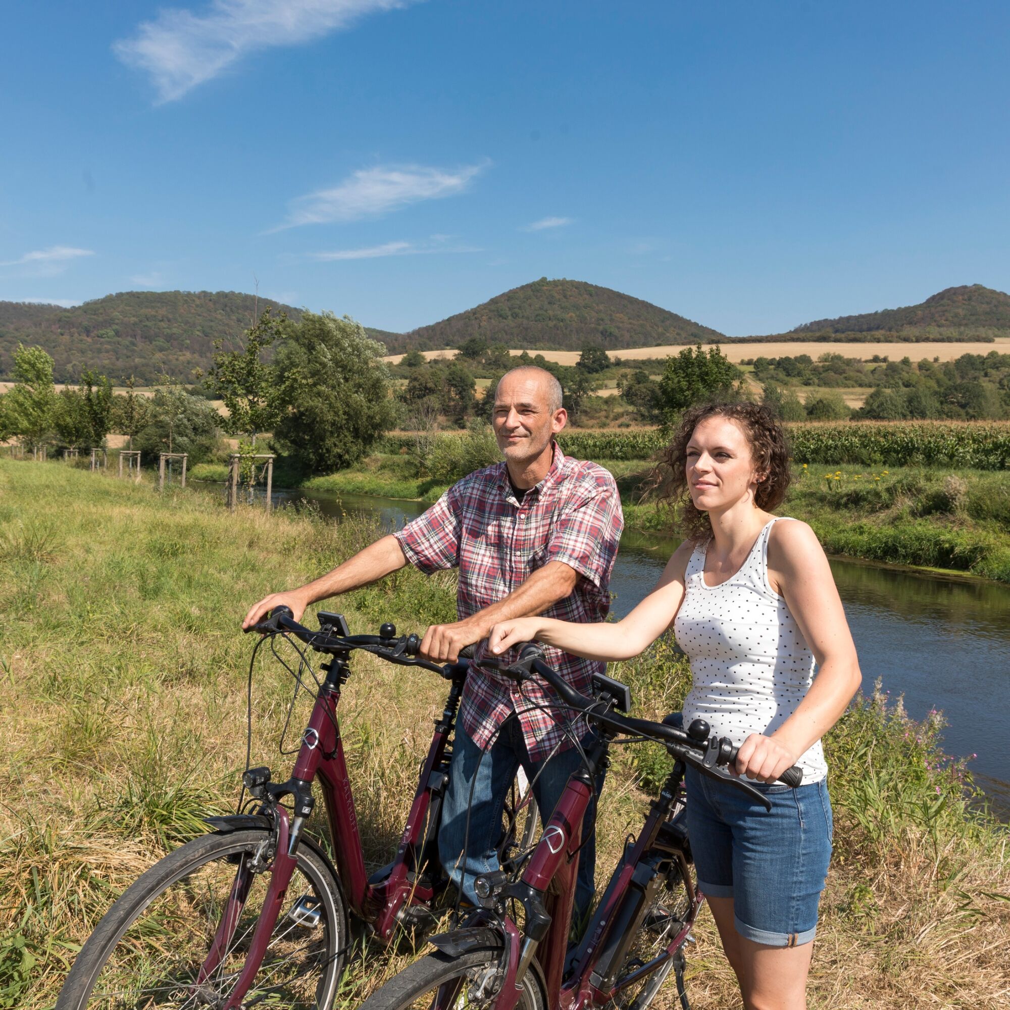
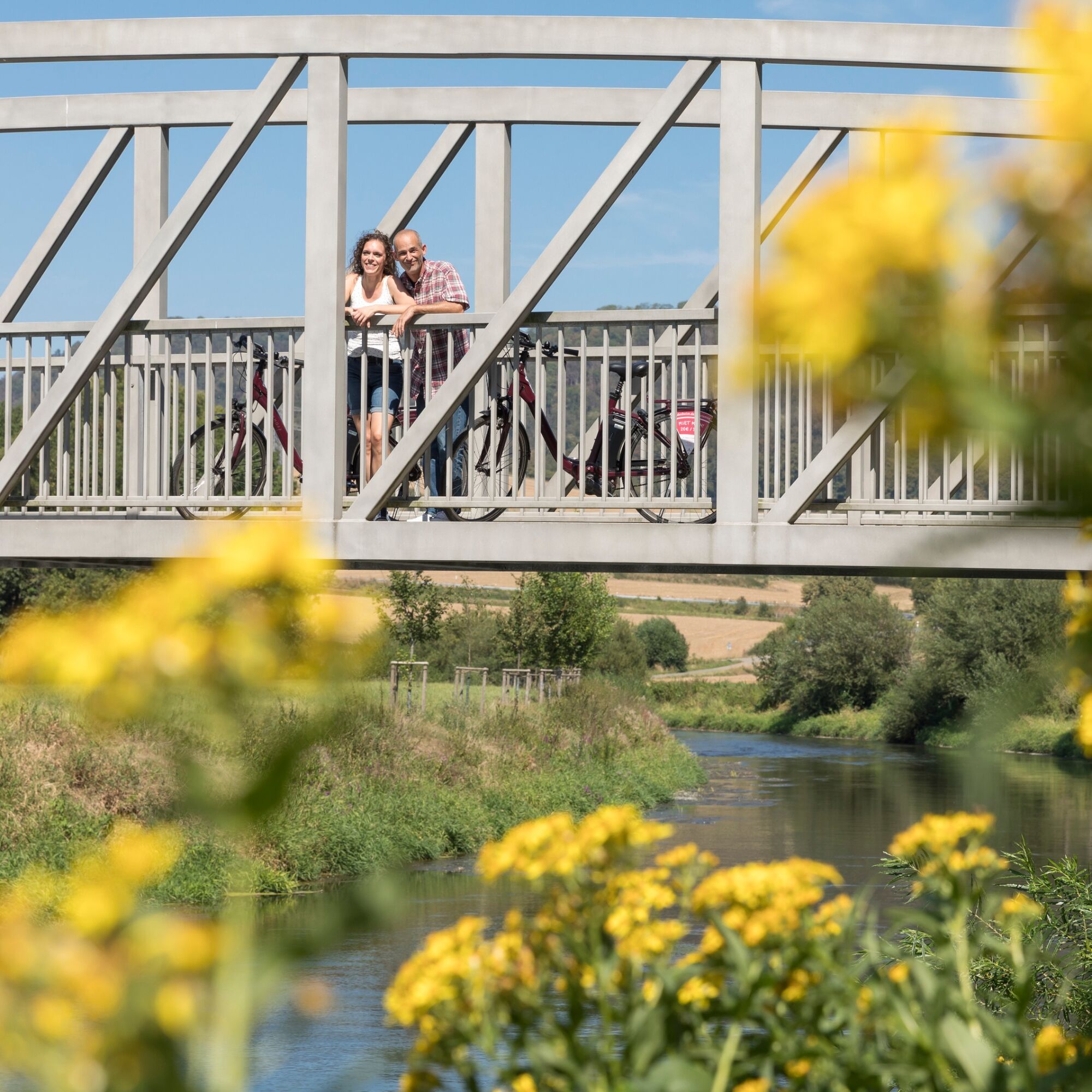
The Leine-Heide cycle path stretches a total of 413 kilometers from Leinefeld in Thuringia to Hamburg. Around 55 kilometers of this route lead - from Freden to Sarstedt - along the Leine through the Hildesheim vacation region. On this section of the route, you cross the Leinebergland and enjoy wonderful views of the Leine valley, the Sieben Berge and other striking heights, which you do not have to cross. Due to the predominantly flat terrain, this cycle route is also suitable for families.
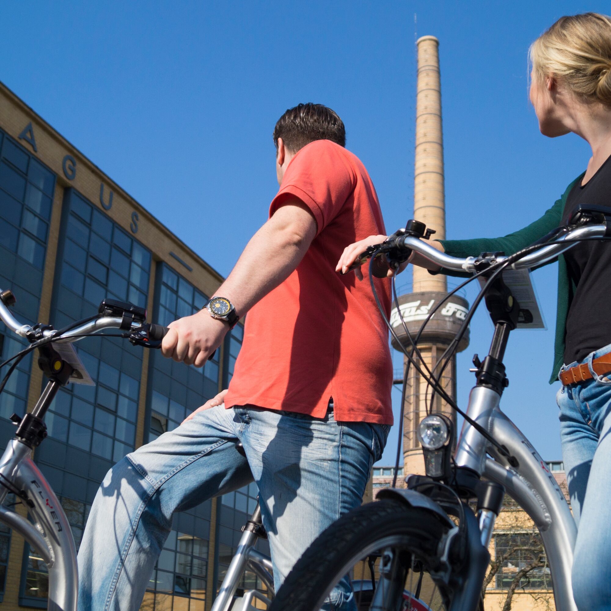
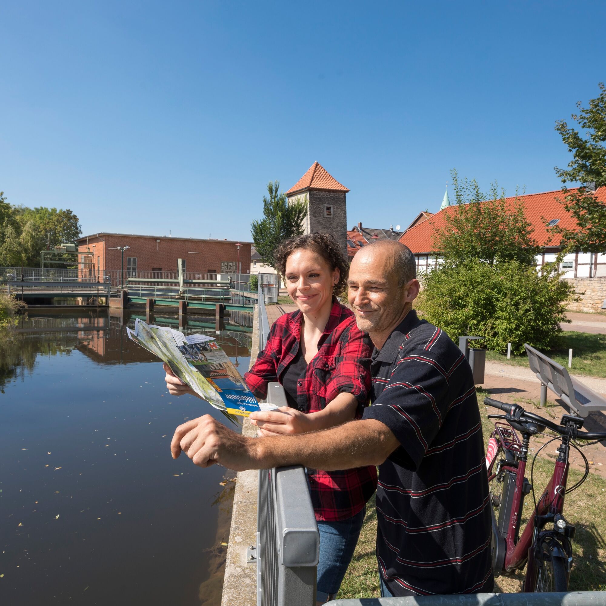
On the way, you will pass picturesque half-timbered towns and numerous smaller and larger sights. In Nordstemmen, for example, the impressive Marienburg Castle awaits you. From here, it is also worth making a detour to Hildesheim, 15 kilometers away, with its two UNESCO World Heritage churches, museums and historic market square. The stage ends in the state capital of Hanover.
Note: Between Gronau and Elze, the level crossing south of Elze will be closed from 07.04. to 28.04. due to construction work. A detour from the level crossing via the station to the town center is signposted.
On the way, you will pass picturesque half-timbered towns and numerous smaller and larger sights. In Nordstemmen, for example, the impressive Marienburg Castle awaits you. From here, it is also worth making a detour to Hildesheim, 15 kilometers away, with its two UNESCO World Heritage churches, museums and historic market square. The stage ends in the state capital of Hanover.
Note: Between Gronau and Elze, the level crossing south of Elze will be closed from 07.04. to 28.04. due to construction work. A detour from the level crossing via the station to the town center is signposted.
Trasa
Limmer
(100 m)
Wioska
2,5 km
Dehnsen
(99 m)
Wioska
5,4 km
Peter-und-Paul-Kirche
(90 m)
Miejsce kultu
17,7 km
Wehrkapelle Arnum
(60 m)
Miejsce kultu
40,3 km
Hemmingen
(55 m)
Miasto
42,5 km
Klosterkirche Sankt Monika
(58 m)
Miejsce kultu
44,9 km
Michaeliskirche
(56 m)
Miejsce kultu
46,0 km
Trasa
Leine-Heide Cycle Path
średni
Jazda na rowerze
50,39
km
Alfeld (Leine)
(92 m)
Stacja kolejowa
0,0 km
Mamma Mia
(98 m)
Restauracja
0,6 km
Limmer
(100 m)
Wioska
2,5 km
Godenau
(89 m)
Wioska
3,2 km
Zum Alten Bahnhof
(89 m)
Restauracja
3,9 km
Dehnsen
(99 m)
Wioska
5,4 km
Banteln
(93 m)
Stacja kolejowa
10,9 km
Banteln
(92 m)
Wioska
11,4 km
Peter-und-Paul-Kirche
(90 m)
Miejsce kultu
17,7 km
Elze
(79 m)
Miasto
17,8 km
Wülfingen
(79 m)
Wioska
21,7 km
Thiedenwiese
(83 m)
Rozliczenie
29,2 km
Athos
(81 m)
Restauracja
29,5 km
Pattensen
(70 m)
Miasto
35,1 km
Bacchus
(65 m)
Restauracja
40,0 km
Wehrkapelle Arnum
(60 m)
Miejsce kultu
40,3 km
Arnum
(61 m)
Sąsiedztwo
40,4 km
Hemmingen
(55 m)
Miasto
42,5 km
Hemmingen-Westerfeld
(56 m)
Wioska
43,2 km
Bacchus II
(58 m)
Restauracja
43,2 km
Klosterkirche Sankt Monika
(58 m)
Miejsce kultu
44,9 km
Ricklingen
(58 m)
Sąsiedztwo
45,1 km
Michaeliskirche
(56 m)
Miejsce kultu
46,0 km
Hanover
(56 m)
Miasto
48,9 km
Mitte
(49 m)
Sąsiedztwo
49,9 km
Autor
Dostarczone przez Weserbergland Tourismus e.V.
Wycieczkę Leine-Heide Cycle Path zapewnia outdooractive.com.


Informacje o przyjeździe
Przybycie
Das rund 30 Kilometer entfernt liegende Alfeld erreichen Sie mit dem Auto aus Hildesheim über die B1, L460, L480 und L485.
Mit dem Zug erreichen Sie Alfeld mit der NordWestBahn, eine Fahrradmitnahme ist möglich.
Mit dem Zug erreichen Sie Alfeld mit der NordWestBahn, eine Fahrradmitnahme ist möglich.
Parking
Hinter dem Bahnhof in Alfeld befindet sich ein Parkplatz.
Dodatkowe informacje i wskazówki
Dodatkowe informacje
Nie ma jeszcze recenzji
Kamery internetowe z trasy

Wszystkie kamery internetowe na mapie
Zainstaluj aplikację za darmo i porównaj obrazy na żywo z kilku miejsc, zanim wyruszysz w drogę.
Skorzystaj już teraz z funkcji „ bergfex ” w aplikacji
Zeskanuj kod QR za pomocą aparatu
Po zainstalowaniu aplikacji treść otworzy się od razu. Jeśli jeszcze nie masz tej aplikacji, zostaniesz przekierowany do strony, z której możesz ją bezpłatnie pobrać.
Popularne wycieczki w okolicy
-
Hi-Ring
średniJazda na rowerze 43,7 km -
Naturpark-Wanderweg Dörper Hutewald-Runde (CO 5) / 8,9 km
średniWędrówka 8,95 km -
Stadtpilgerweg
Przechadzka 3,19 km -
Cölleturmtour (EI1)
światłoWędrówka 5,02 km -
Street-Art – Nordstadt
światłoPrzechadzka 3,52 km -
Leine-Heide-Radweg
średniJazda na rowerze 50,4 km -
Rosenroute
Przechadzka 5,26 km -
Bergmannsweg
ciężkiMotorrad 21,8 km -
Bergmannsweg
średniWędrówka 22,6 km -
Laufstrecke Hohnsensee
Nordic Walking 4,15 km
Wędrówki i tropienie

Ponad 550.000 propozycji wycieczek, szczegółowe mapy i intuicyjny planer tras sprawiają, że aplikacja jest niezbędna dla wszystkich entuzjastów przyrody.

Nie przegap ofert i inspiracji na następne wakacje
Zapisz się do newslettera
Błąd
Wystąpił błąd. Spróbuj ponownie.
Dziękujemy za rejestrację
Twój adres e-mail została dodana do listy mailingowej.
Wycieczki po całej Europie
Austria
Szwajcaria
Niemcy
Włochy
Słowenię
Francja
Holandia
Belgia
Polska
Liechtenstein
Czechy
Słowacja
Hiszpania
Chorwacja
Bośnia i Hercegowina
Luksemburg
Andorra
Portugalia
Islandia
Wielka Brytania
Irlandia
Grecja
Albania
Macedonia Północna
Malta
Norwegia
Czarnogóra
Mołdawia
Kosowo
Węgry
San Marino
Rumunia
Estonia
Łotwa
Białoruś
Cypr
Litwa
Serbia
Bułgaria
Monako
Dania
Szwecja
Finlandia





