
Elfasrunde
ciężki
Pobierz tę trasę na swój telefon komórkowy
Elfasrunde
ciężki
Jazda na rowerze
40,15
km
Zeskanuj kod QR i rozpocznij nawigację w aplikacji bergfex.


Wędrówki i tropienie





Elfasrunde
ciężki
Odległość
40,15
km
Czas trwania
03:03
h
Ascent
409
hm
Poziom morza
111 -
387
m
Ścieżka do pobrania
Elfasrunde
ciężki
Jazda na rowerze
40,15
km
The circular route runs about 40.2 kilometers through the northwestern urban area of Einbeck, passing through a varied landscape with many small woods, extensive fields, and hilltops with wonderful views...
Opis
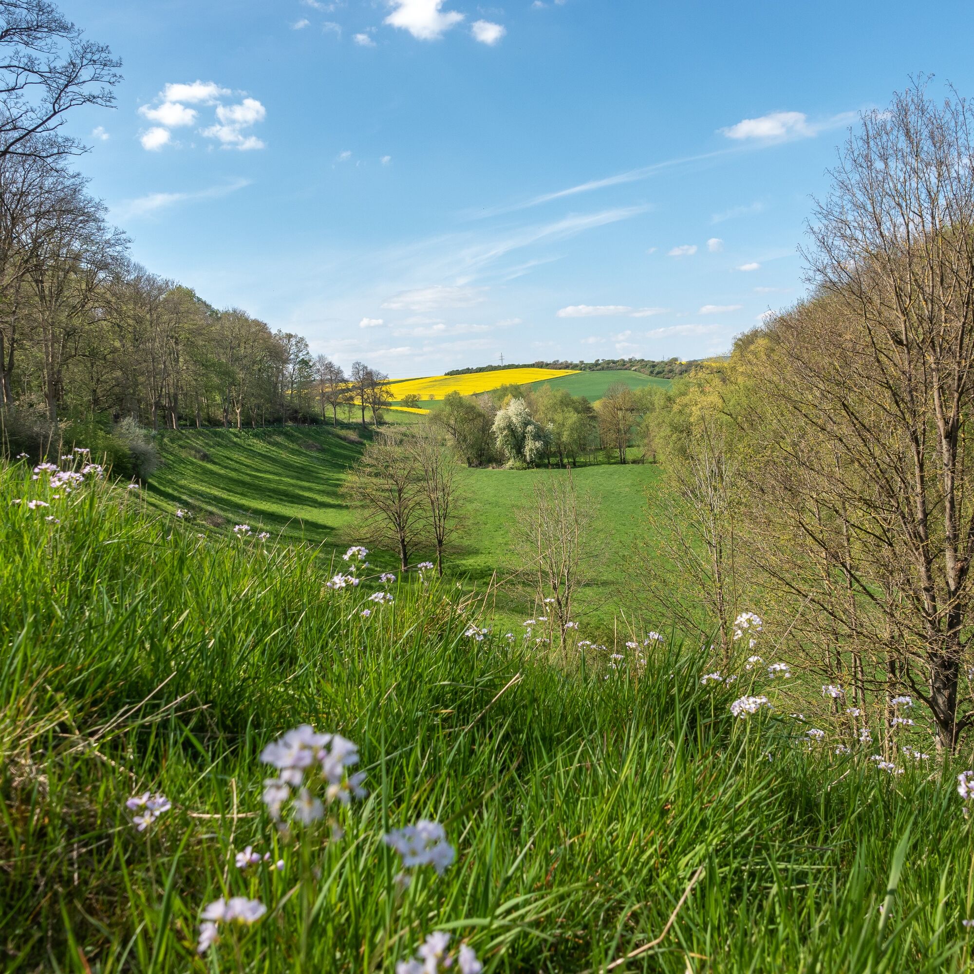
The circular route runs about 40.2 kilometers through the northwestern urban area of Einbeck, passing through a varied landscape with many small woods, extensive fields, and hilltops with wonderful views of the countryside.
Trasa
Einbeck
(112 m)
Miasto
0,0 km
Kuventhal
(134 m)
Wioska
3,6 km
Ahrensberg
(405 m)
Szczyt
18,3 km
Lüthorst
(184 m)
Wioska
22,8 km
Deitersen
(153 m)
Rozliczenie
27,8 km
Kohnsen
(140 m)
Wioska
33,4 km
Einbeck
(112 m)
Miasto
40,0 km
Trasa
Elfasrunde
ciężki
Jazda na rowerze
40,15
km
Einbeck
(112 m)
Miasto
0,0 km
Krumme Wassermühle
(117 m)
Rozliczenie
1,1 km
Kuventhal
(134 m)
Wioska
3,6 km
Bartshausen
(204 m)
Wioska
5,8 km
Avendshausen
(210 m)
Wioska
8,4 km
Ahrensberg
(405 m)
Szczyt
18,3 km
Lüthorst
(184 m)
Wioska
22,8 km
Erichsburg
(160 m)
Rozliczenie
26,6 km
Deitersen
(153 m)
Rozliczenie
27,8 km
Bartels Scheune
(153 m)
Restauracja
27,9 km
Kohnsen
(140 m)
Wioska
33,4 km
Krumme Wassermühle
(117 m)
Rozliczenie
38,3 km
Einbeck
(112 m)
Miasto
40,0 km

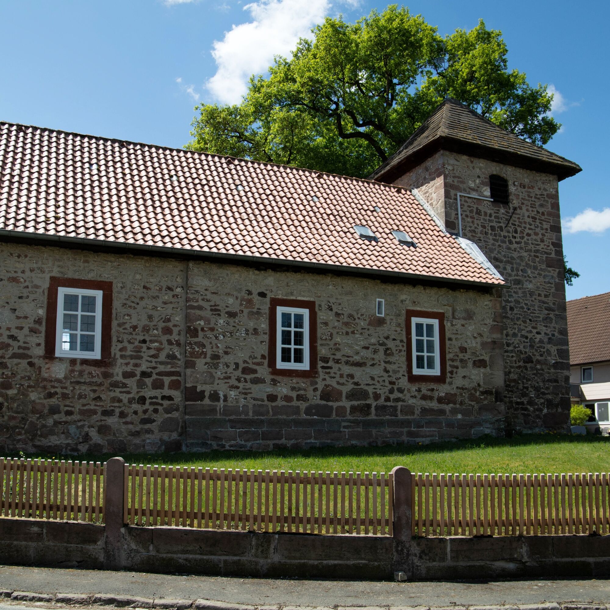
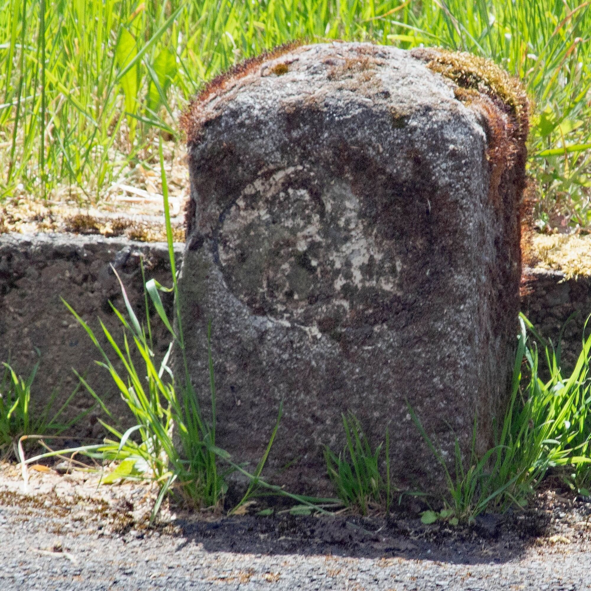

Informacje o trasie
Trasa
The tour starts at Carl-Diem Weg from there you ride towards Kuventhal along the Krummen Wasser.
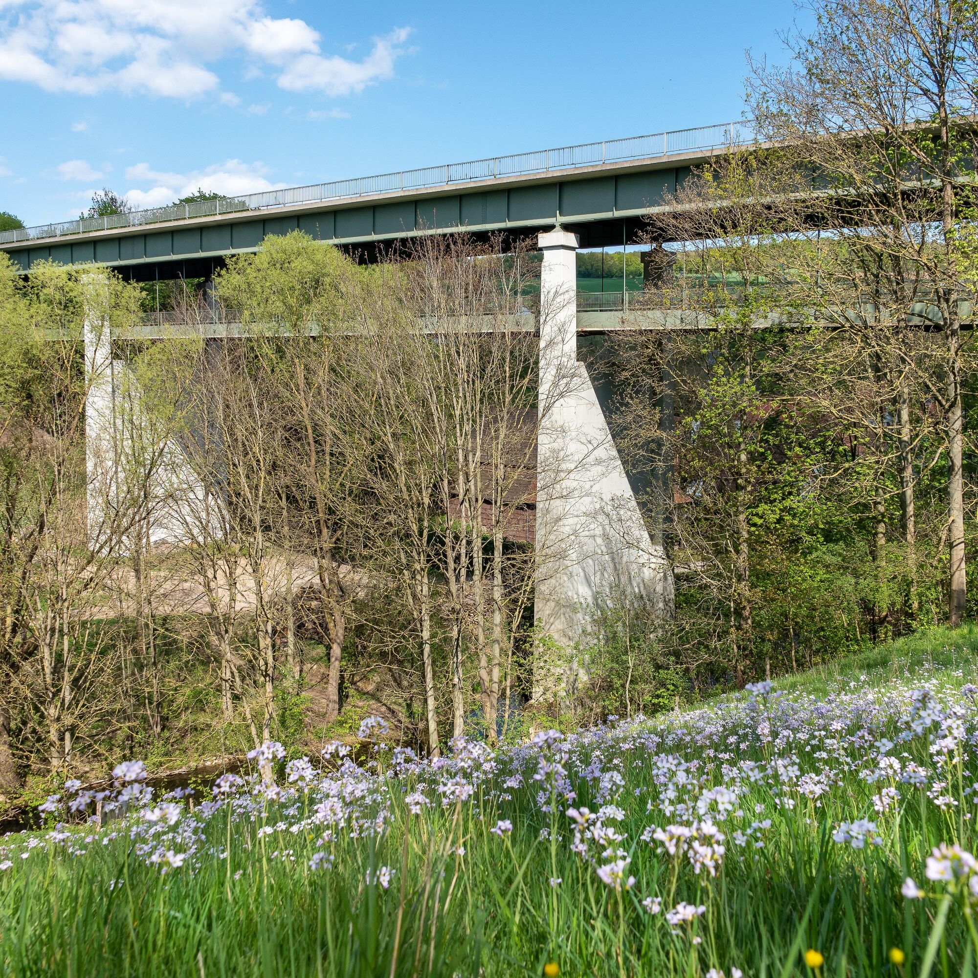
TIP:From the Wilhelms Bridge you have a great view of the nature and surroundings.
After crossing the Wilhelms Bridge, you continue towards Bartshausen and Avendshausen.
You then ride through varied landscapes and through Rengershausen. From there you head to the Ahrensberg and then take the fast downhill ride towards Lüthorst. From Lüthorst you head towards Deitersen. From there you return in the direction of Einbeck.
Informacje o przyjeździe
Przybycie
Start/Finish point
You can reach the starting point of the circular route from the Marketplace via the Tiedexer Street towards the Tiedexer Gate. Go through the Tiedexer Gate past the PS.SPEICHER – Europe’s largest classic car collection – and after 300 meters turn right into Iven Street.
About 100 meters more and you will reach the old sandstone bridge. After crossing the bridge you are at the start of the tour and can orient yourself using the route overview
in the display case.
From here follow the bike path about 200 meters north, cross the main road and continue on Iven Street until roughly the height of the Riding and Driving Club.
Here the bike path turns left onto Riesswarte.
You can reach the starting point of the circular route from the Marketplace via the Tiedexer Street towards the Tiedexer Gate. Go through the Tiedexer Gate past the PS.SPEICHER – Europe’s largest classic car collection – and after 300 meters turn right into Iven Street.
About 100 meters more and you will reach the old sandstone bridge. After crossing the bridge you are at the start of the tour and can orient yourself using the route overview
in the display case.
From here follow the bike path about 200 meters north, cross the main road and continue on Iven Street until roughly the height of the Riding and Driving Club.
Here the bike path turns left onto Riesswarte.
Nie ma jeszcze recenzji
Popularne wycieczki w okolicy
- 5,0
Ithwiesen und Kleiner Stern (Hz 2)
światłoWędrówka 9,60 km Hilskammweg (Gr 1)
średniWędrówka 14,5 kmOn the ridge trail to the Raabe Tower (Hz 3)
światłoWędrówka 5,98 kmLebensraumroute - Das Hellental große Runde
Trasa tematyczna 6,73 kmSandstone Adventure Route Arholzen
Trasa tematyczna 2,90 kmVitalWeg 2 – Auszeit auf weiter Flur rund um Kuventhal
średniNordic Walking 6,82 kmTour "In the footsteps of Wilhelm Busch"
światłoTrasa tematyczna 4,03 kmRoute 16: Solling-Vogler-Region
Mountainbike 164,9 kmLebensraumroute - Der Eichenwald im Solling große Runde (LRR 3)
Trasa tematyczna 4,72 kmVitalWeg 2 – Auszeit auf weiter Flur rund um Kuventhal
średniWędrówka 6,83 km
Wędrówki i tropienie

Ponad 550.000 propozycji wycieczek, szczegółowe mapy i intuicyjny planer tras sprawiają, że aplikacja jest niezbędna dla wszystkich entuzjastów przyrody.

Nie przegap ofert i inspiracji na następne wakacje
Zapisz się do newslettera
Błąd
Wystąpił błąd. Spróbuj ponownie.Dziękujemy za rejestrację
Twój adres e-mail została dodana do listy mailingowej.
Wycieczki po całej Europie
Austria Szwajcaria Niemcy Włochy Słowenię Francja Holandia Belgia Polska Liechtenstein Czechy Słowacja Hiszpania Chorwacja Bośnia i Hercegowina Luksemburg Andorra Portugalia Islandia Wielka Brytania Irlandia Grecja Albania Macedonia Północna Malta Norwegia Czarnogóra Mołdawia Kosowo Węgry San Marino Rumunia Estonia Łotwa Białoruś Cypr Litwa Serbia Bułgaria Monako Dania Szwecja Finlandia





