


Route 14: From the Weperkamm to the mountain lake
Using the trails
"Dear MTB riders – please note that the route shown here is currently being revised. The marking is no longer continuously present. You are partly riding on private land. Please therefore...
Using the trails
"Dear MTB riders – please note that the route shown here is currently being revised. The marking is no longer continuously present. You are partly riding on private land. Please therefore respect the property owners' right to issue instructions. Please behave according to the DIMB Trail Rules – Have fun in the Wild Homeland."

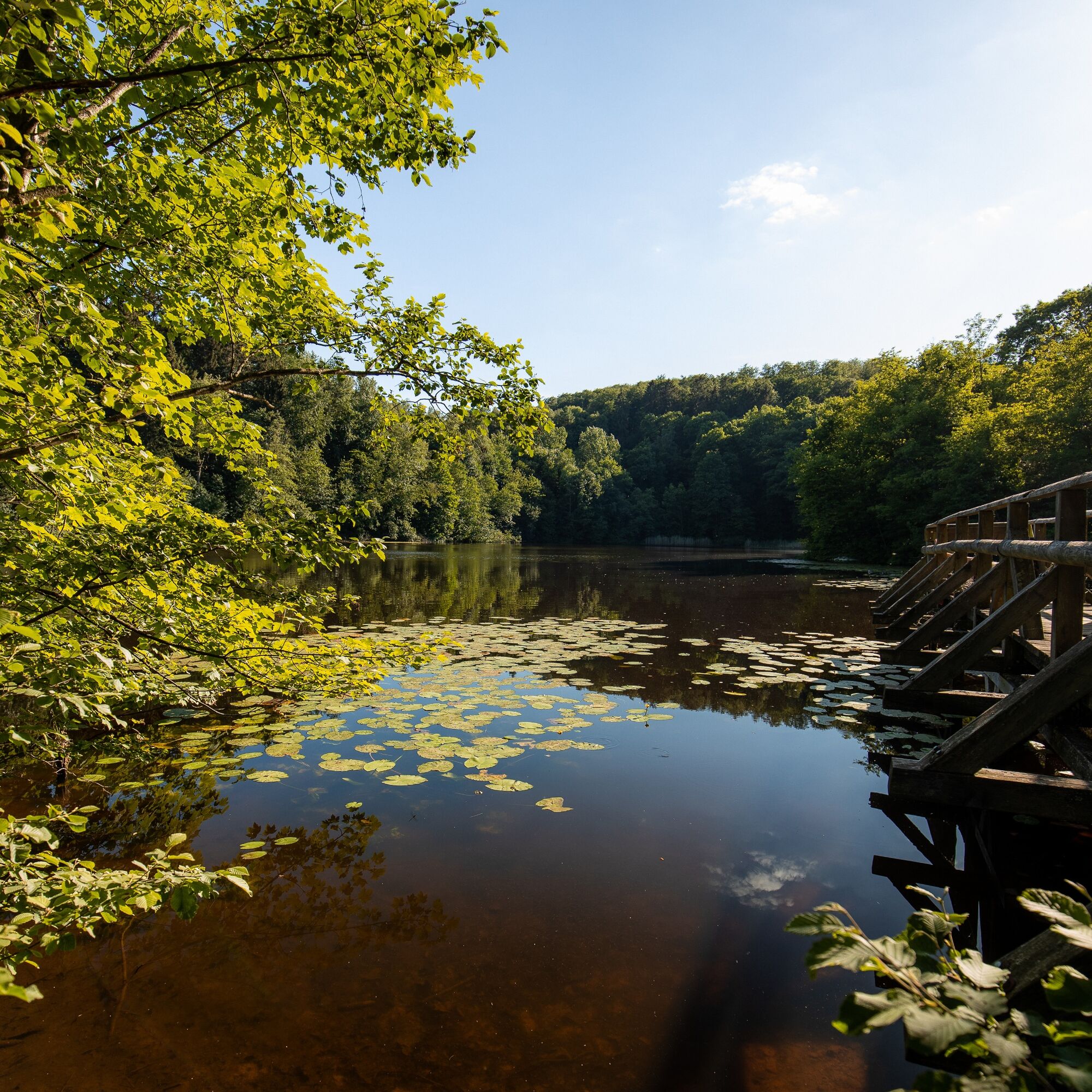
You leave the Solling, but that doesn’t mean there are no more climbs. Now you climb the Weperkamm, from where you have great views of the Solling to the west but also towards the Harz to the east at several points. You ride for several kilometers along the Weperkamm in gently hilly terrain.
From Einbeck, follow the K 510 to Hoppensen and turn left onto Am Rittergut, then follow L 547/L 580 to Fredersloh.
By train to Northeim and from there by bus 225 towards Moringen to Moringen-Fredersloh.
Fredersloh town center
Solling-Vogler-Region in the Weserbergland e. V.
Tourism center
Lindenstraße 8
37603 Holzminden/ Neuhaus
Tel.: 05536/ 96097-0
info@solling-vogler-region.de
www.solling-vogler-region.de
Alternative starting points: Delliehausen (mountain lake), Grimmerfeld (forest parking and adventure playground), Hardegsen
Route extension: possible by combining with route 12
Popularne wycieczki w okolicy
-
5,0
Lunauborn (Schö 1)
średniWędrówka 9,27 km -
Lebensraumroute - Neuer Teich und Lakenteich (LRR 9)
Trasa tematyczna 6,28 km -
Keilerweg (De 7)
średniWędrówka 11,7 km -
Lebensraumroute - Der Eichenwald im Solling große Runde (LRR 3)
Trasa tematyczna 4,72 km -
Waldläufer (De 6 + LRR)
średniWędrówka 9,04 km -
Lebensraumroute - Der Eichenwald im Solling kleine Runde
Trasa tematyczna 3,66 km -
Rundwanderung auf dem Höhenzug Ahlsburg - Burg Grubenhagen
średniJazda na rowerze 7,71 km -
Panoramaweg von Löwenhagen nach Adelebsen
średniWędrówka 11,0 km -
Lebensraumroute - Der Buchenwald im Solling kleine Runde
Trasa tematyczna 2,49 km -
Wilde Burschen (La 1 + LRR Eichenwald)
średniWędrówka 7,82 km
Wędrówki i tropienie


Nie przegap ofert i inspiracji na następne wakacje
Twój adres e-mail została dodana do listy mailingowej.