






From Haag to Mühlviertel view - hiking trail 490 North
Demanding, hilly route on varied paths. On the heights magnificent views in all directions with the possibility to stop at the motorway service station and the rest area at Hummelberg.

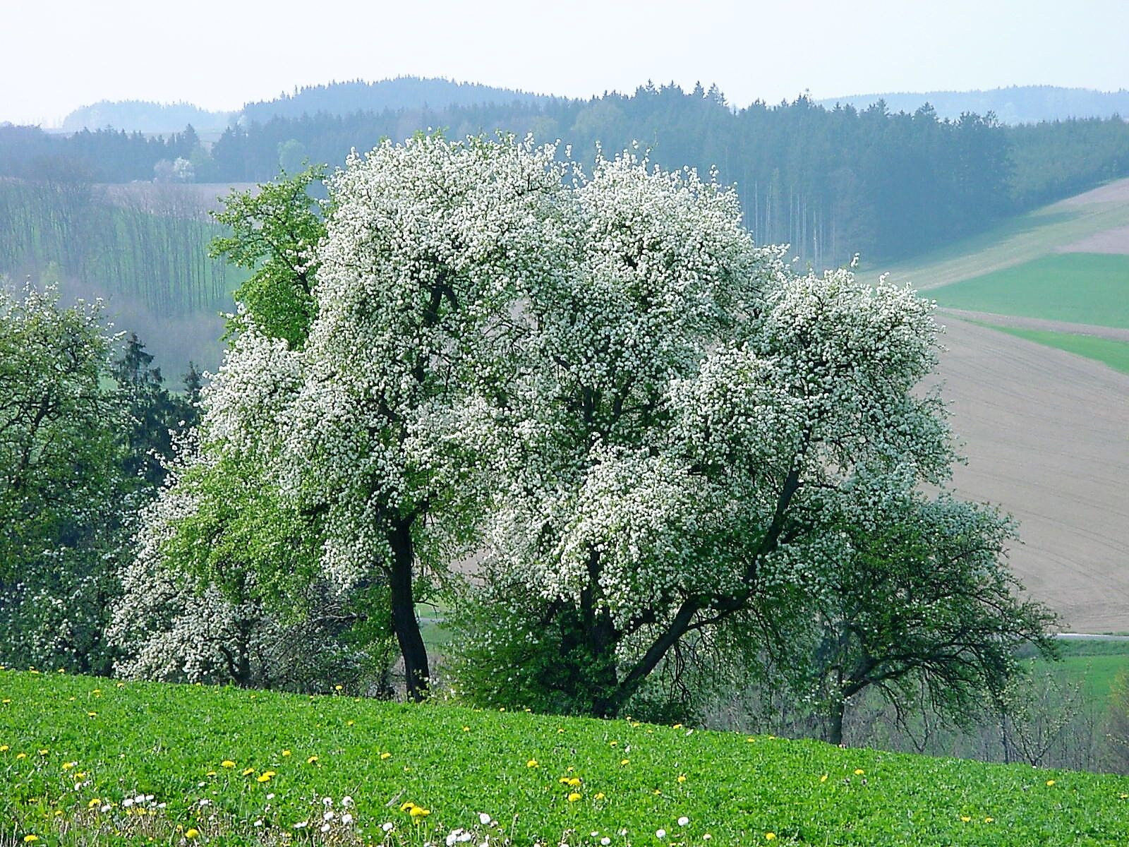
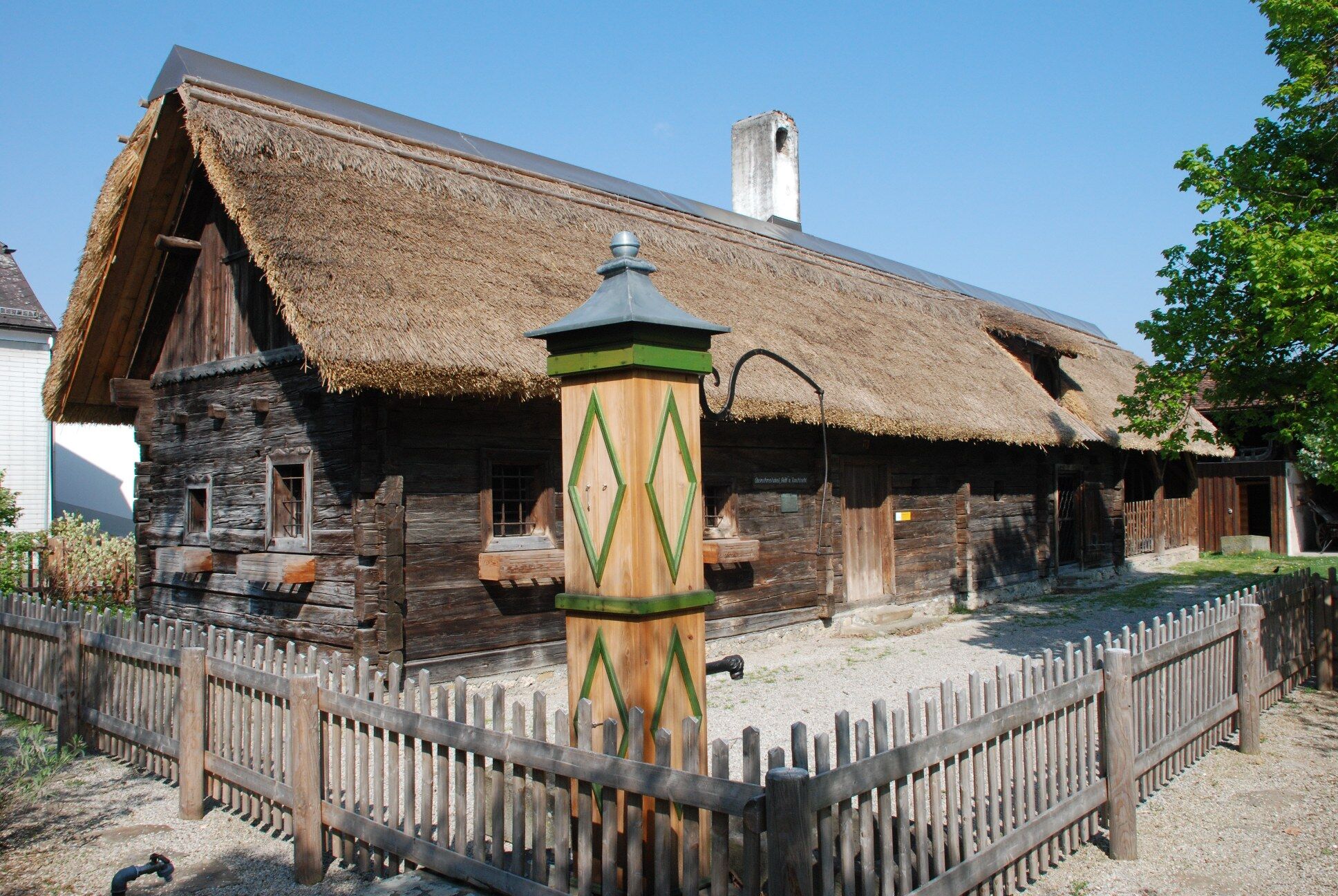
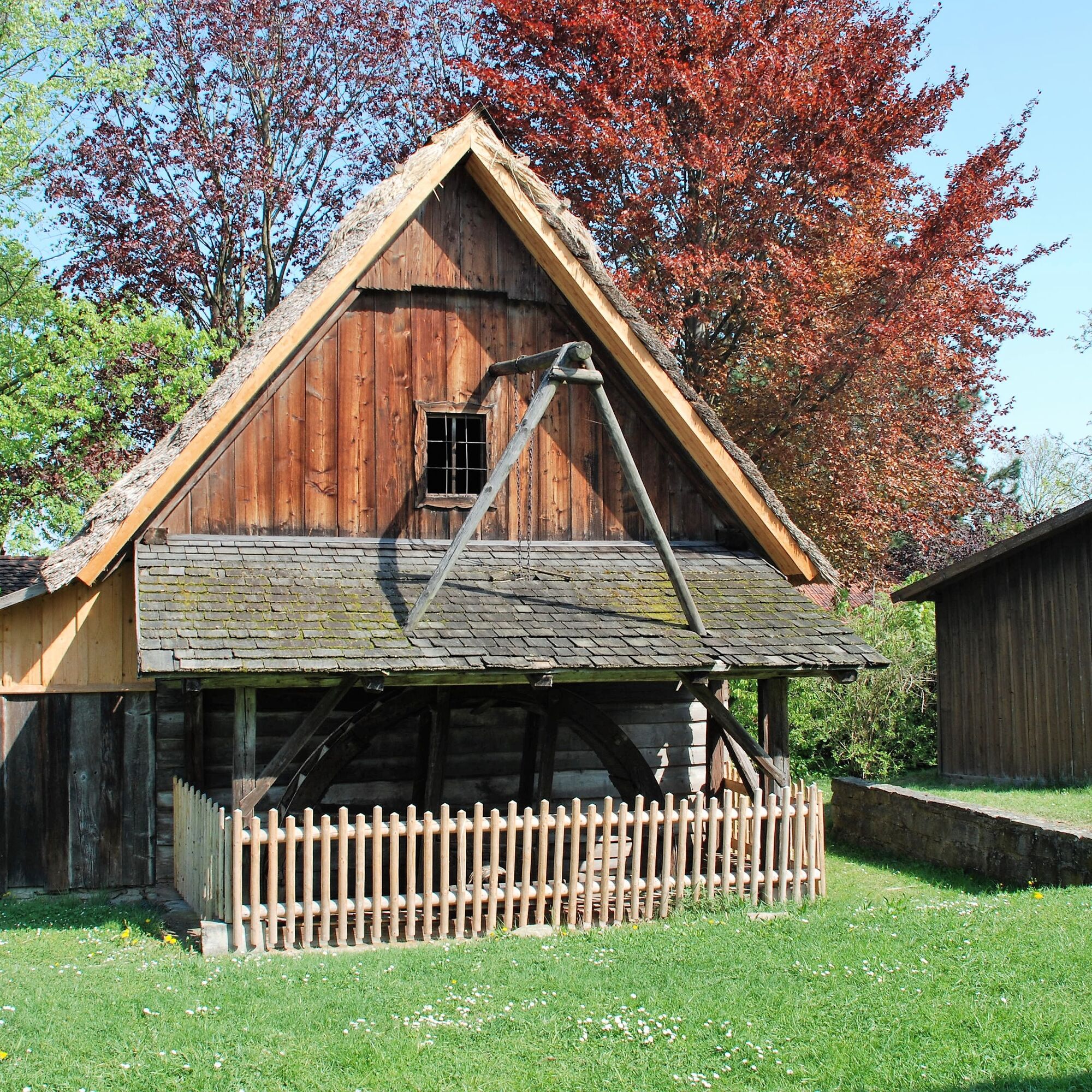
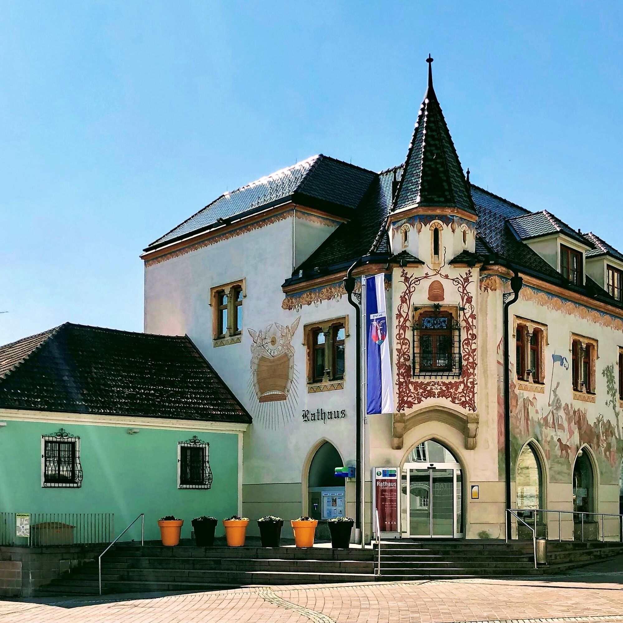
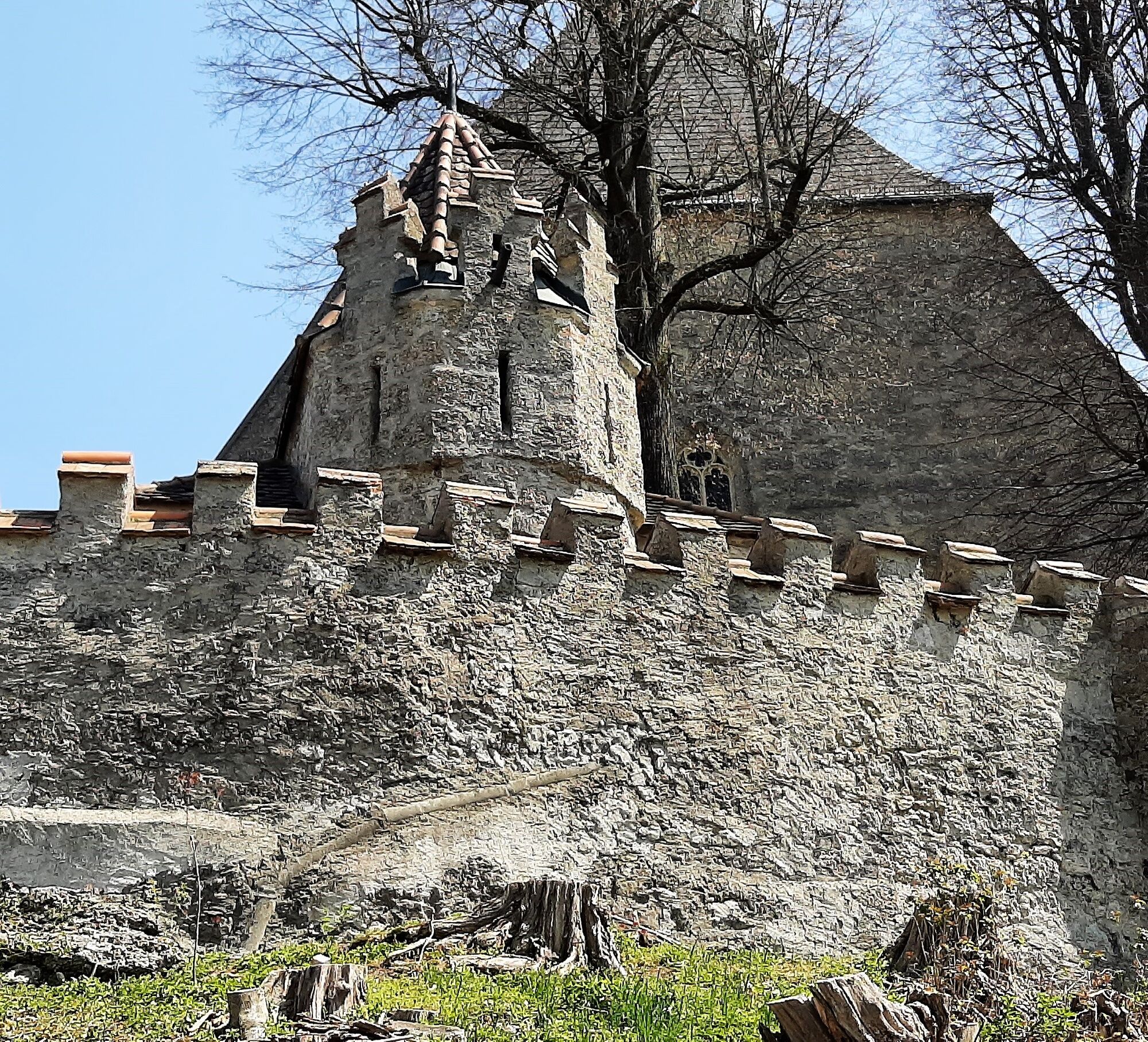

We start from the open-air museum near the Mostviertelhalle. The hiking trail 490 North is especially hilly. Names like Ederhöhe, Fehraberg or Maleiten indicate this and reward us with magnificent views on the heights. From Lembachhöhe we see the summit cross of Sieberges (354m). It was erected by the Austrian Federal Railways in 1999 during the construction of the Sieberger tunnel for the new railway line. A detour (490b) is recommended and an entry in the summit book is possible.
Hiking boots
With the train stop "Stadt Haag" an uncomplicated public arrival is possible.
Parking available at Mostviertelhalle (Sportplatzstraße 4, 3350 Haag)
The view beyond Moosholz falls on a large orchard and leads us past an art smithy. At Schneidholz the path divides into a long route (490) and a short route (490a). The long hiking trail 490 offers impressive viewpoints: at Meierweide (Strengberge), on Fehraberg and at Maleiten (view towards Mühlviertel). At the motorway underpass, where the paths reunite, we have the option to briefly leave the route towards the motorway service area to refresh ourselves. Additionally, a visit to the Georg Hiebl distillery is recommended. At the Genusshütte am Hummelberg we enjoy an overwhelming view from a beautifully designed rest area over the town of Haag and, in the background, from Ötscher to Traunstein.

 Uzyskaj wgląd Zawsze na żywo z ponad 9 500 kamer internetowych. bergfex Jako użytkownik Pro, możesz teraz zobaczyć odpowiednie kamery internetowe dla wielu wycieczek w aplikacji wycieczki od. Pozwala to na bezpośredni podgląd aktualnych warunków.
 Popularne wycieczki w okolicy
- 4,1
Wallsee Altarmrunde
światłoWędrówka 8,19 km - 5,0
Danube Cycle Path Stage 3 North Bank: Linz - Grein
światłoKolarstwo długodystansowe 60,4 km - 3,4
Perg: Kugelmanderl-Weg
światłoWędrówka 9,04 km - 3,8
Mitterkirchen: Devil's Path
światłoWędrówka 12,5 km - 3,5
Danube bike path stage 3 south bank: Linz - Ardagger
światłoKolarstwo długodystansowe 59,1 km - 4,3
R1.13 Alpenblick loop
średniJazda na rowerze 52,2 km - 4,5
R1.12 Weltstein Loop
średniJazda na rowerze 38,9 km - 4,2
Kelten-Radroute
światłoJazda na rowerze 69,3 km - 4,2
Kürnberger Panoramastrecke
średniE-MTB 34,3 km - 5,0
Elisabethwarte Runde
światłoWędrówka 3,98 km

Wędrówki i tropienie


Nie przegap ofert i inspiracji na następne wakacje
Twój adres e-mail została dodana do listy mailingowej.





