


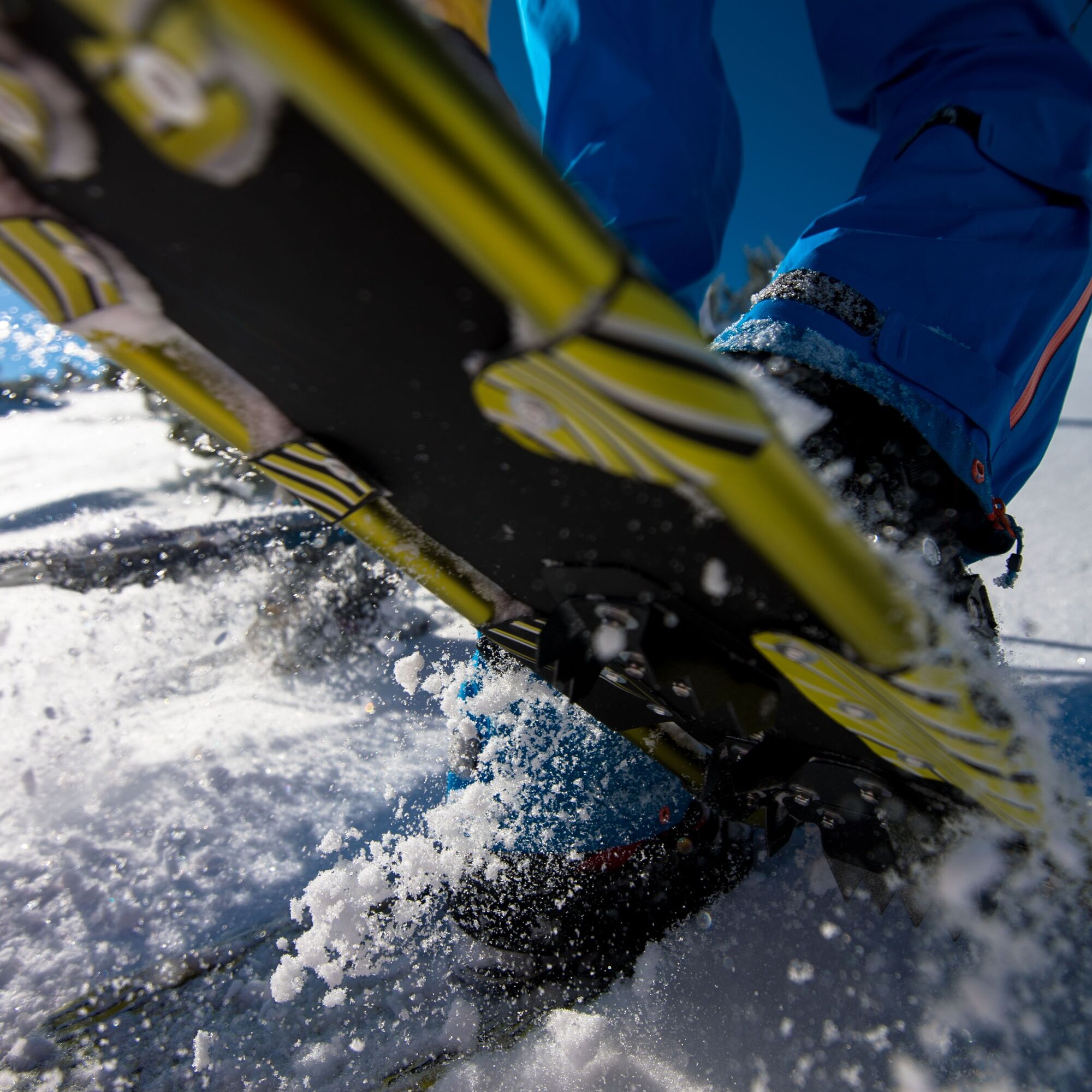
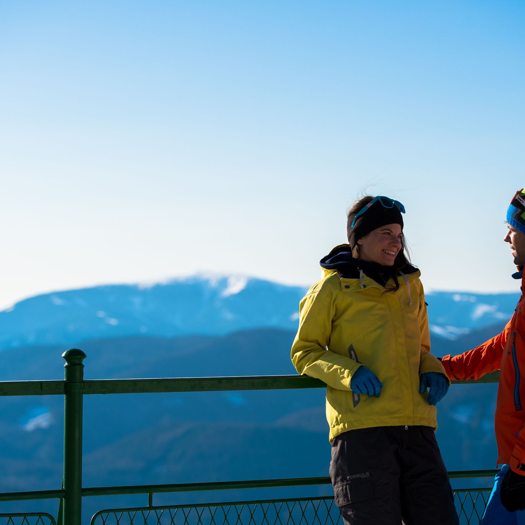
Snowshoe hiking: Prein-Kreuzberg-Reichenau


Zdjęcia naszych użytkowników
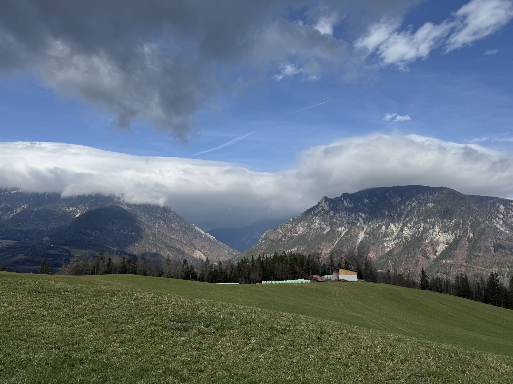
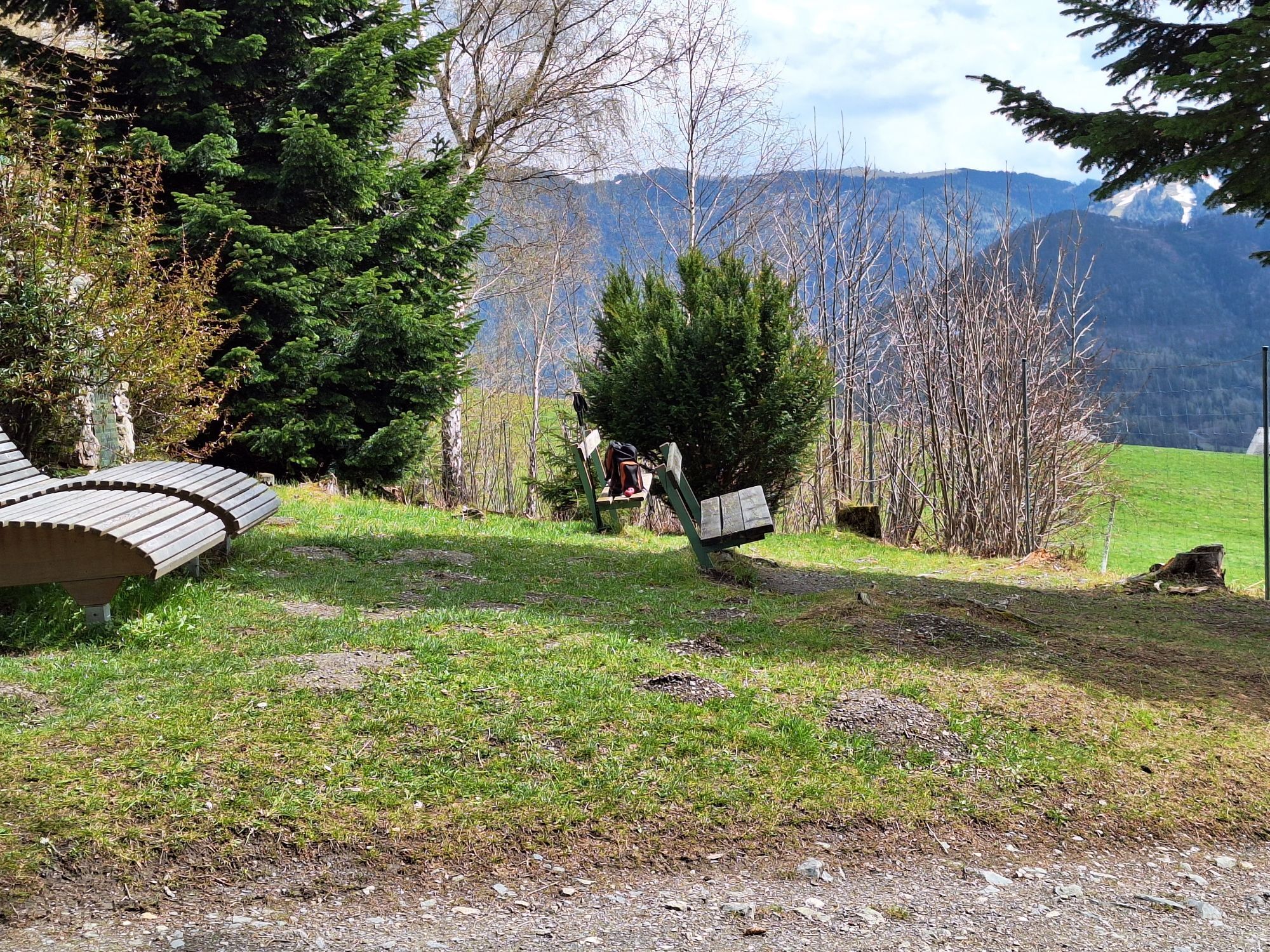
 © Anne ScharfUtworzono dnia 30.03.2025
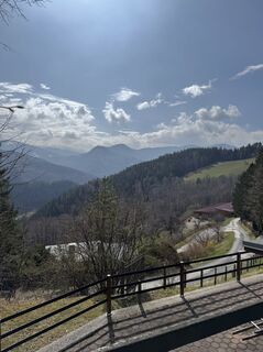 © Anne ScharfUtworzono dnia 30.03.2025
 © Anne ScharfUtworzono dnia 30.03.2025
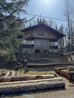 © Anne ScharfUtworzono dnia 30.03.2025
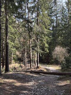 © Anne ScharfUtworzono dnia 30.03.2025
 © Anne ScharfUtworzono dnia 30.03.2025
 © Anne ScharfUtworzono dnia 30.03.2025
 © Anne ScharfUtworzono dnia 30.03.2025
 © Anne ScharfUtworzono dnia 30.03.2025
 © Anne ScharfUtworzono dnia 30.03.2025
 © Anne ScharfUtworzono dnia 30.03.2025
 © Anne ScharfUtworzono dnia 30.03.2025
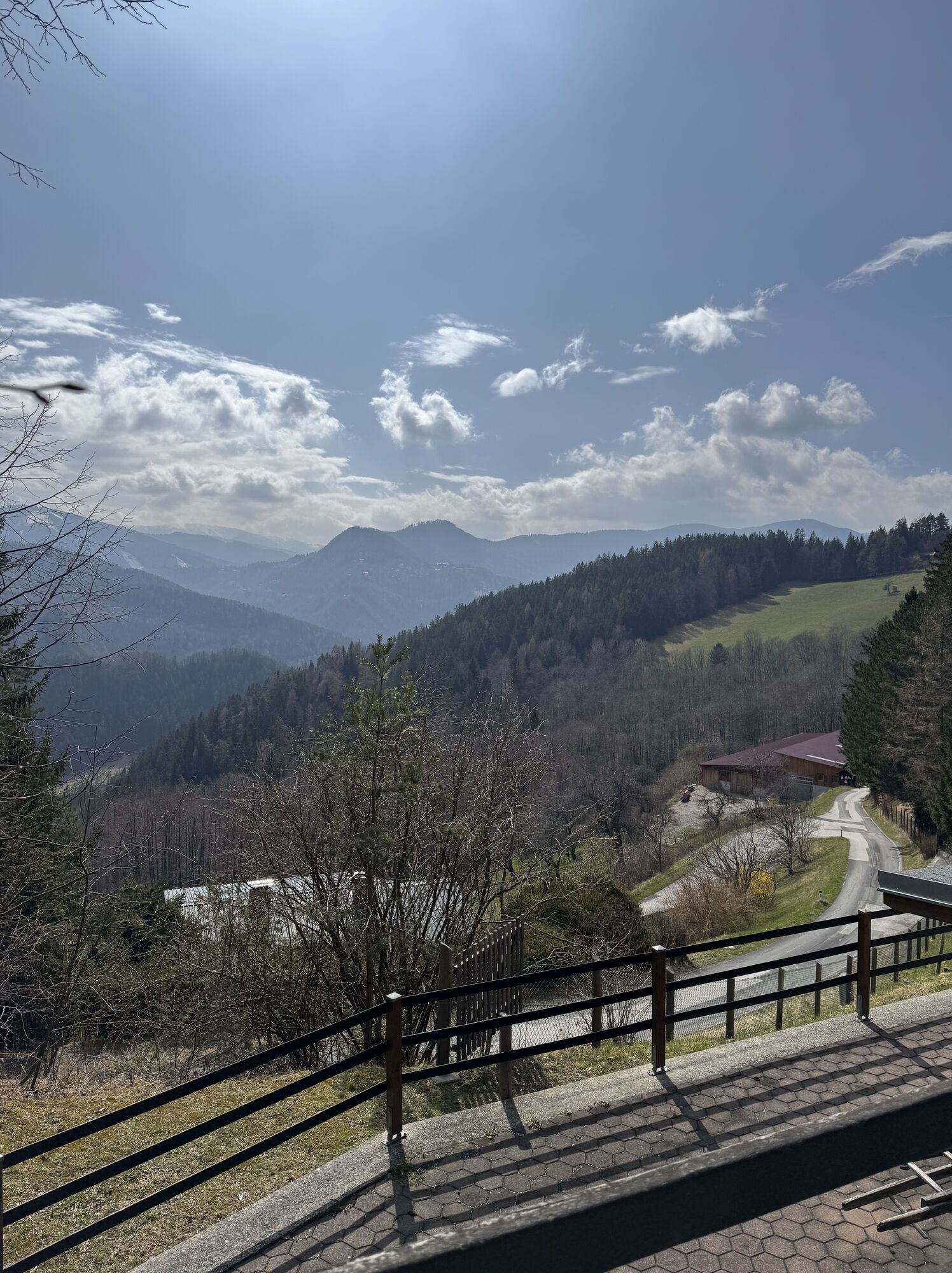
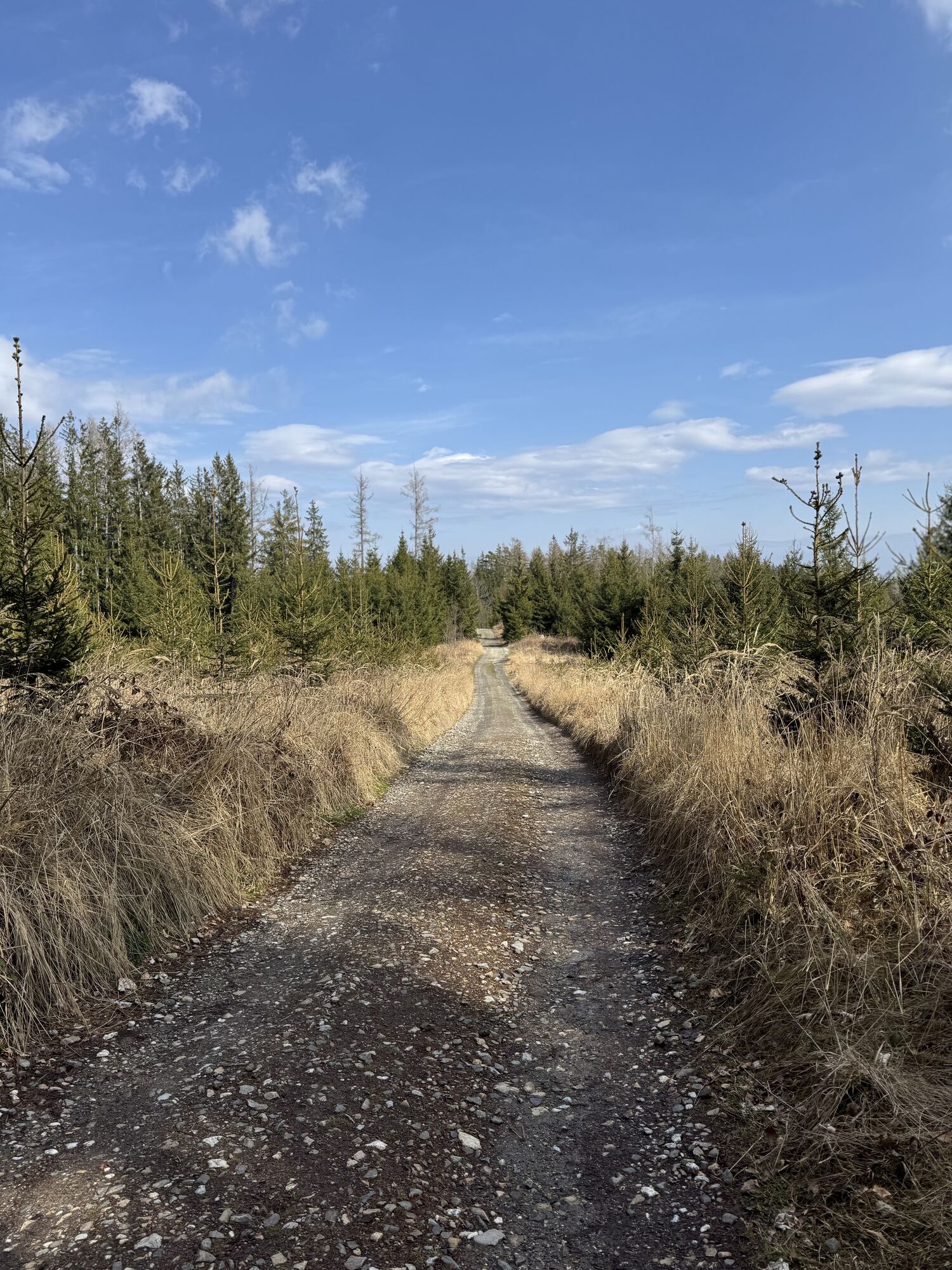
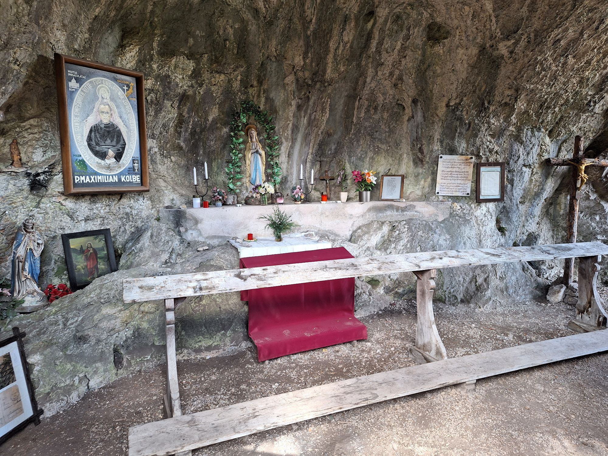
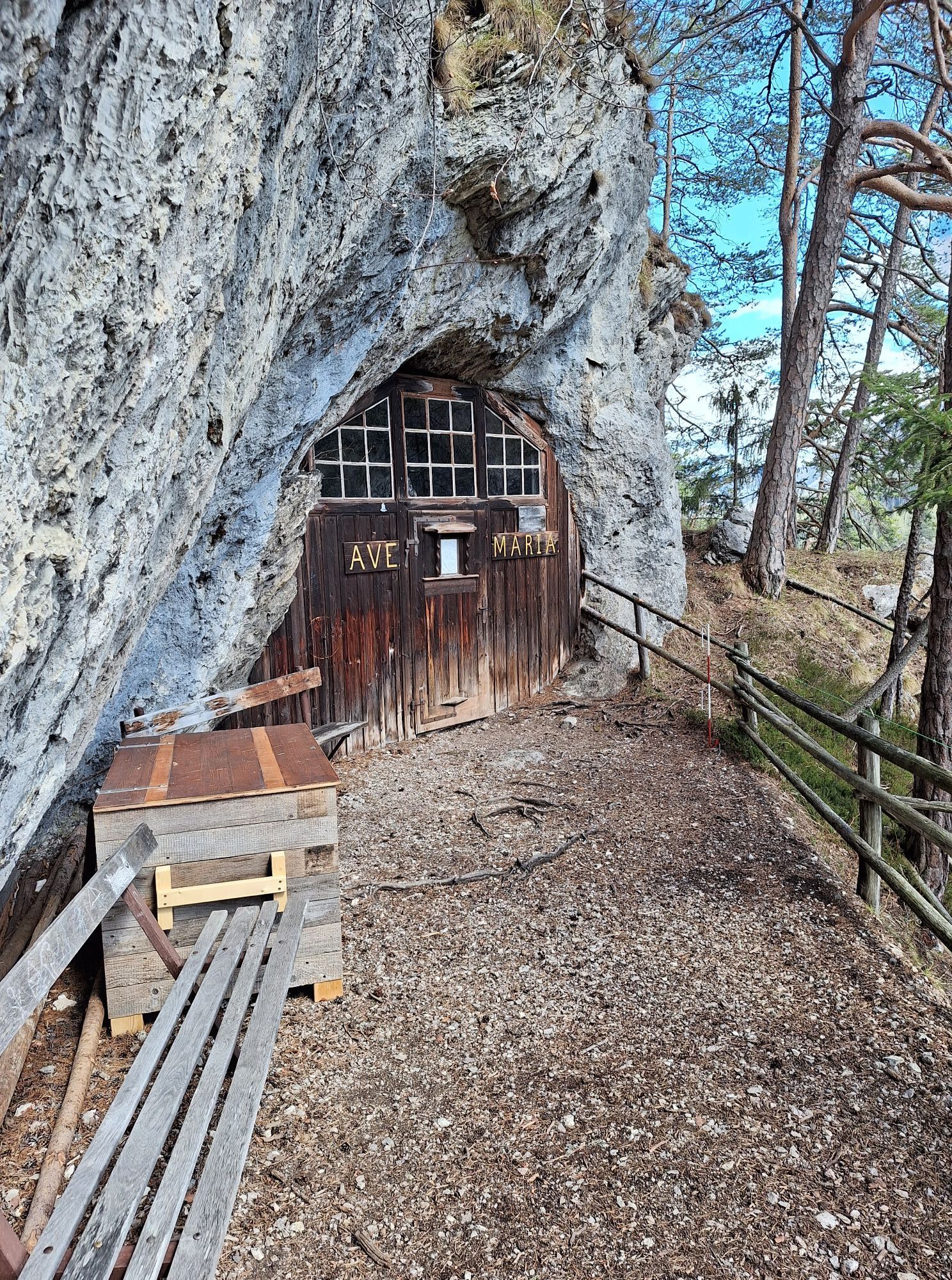
 © Herbert EckelhartUtworzono dnia 29.04.2023
 © Herbert EckelhartUtworzono dnia 29.04.2023
 © Herbert EckelhartUtworzono dnia 29.04.2023
 © Herbert EckelhartUtworzono dnia 29.04.2023
 © Herbert EckelhartUtworzono dnia 29.04.2023
 © Herbert EckelhartUtworzono dnia 27.04.2023
 © Herbert EckelhartUtworzono dnia 27.04.2023
 © Herbert EckelhartUtworzono dnia 27.04.2023
 © Herbert EckelhartUtworzono dnia 27.04.2023
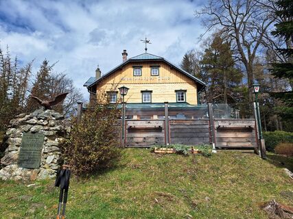 © Herbert EckelhartUtworzono dnia 27.04.2023
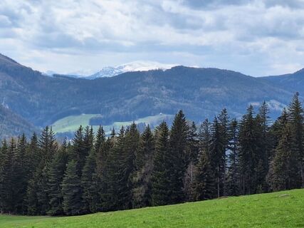 © Herbert EckelhartUtworzono dnia 27.04.2023
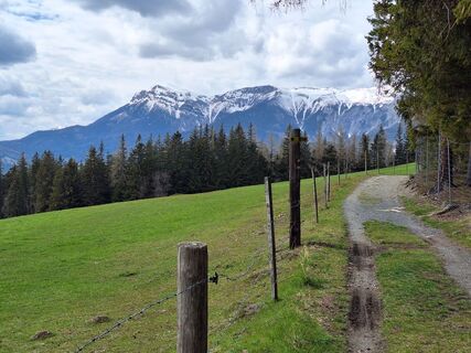 © Herbert EckelhartUtworzono dnia 27.04.2023
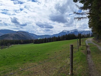 © Herbert EckelhartUtworzono dnia 27.04.2023
 © Herbert EckelhartUtworzono dnia 27.04.2023
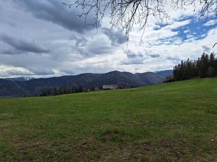 © Herbert EckelhartUtworzono dnia 27.04.2023
 © Herbert EckelhartUtworzono dnia 27.04.2023
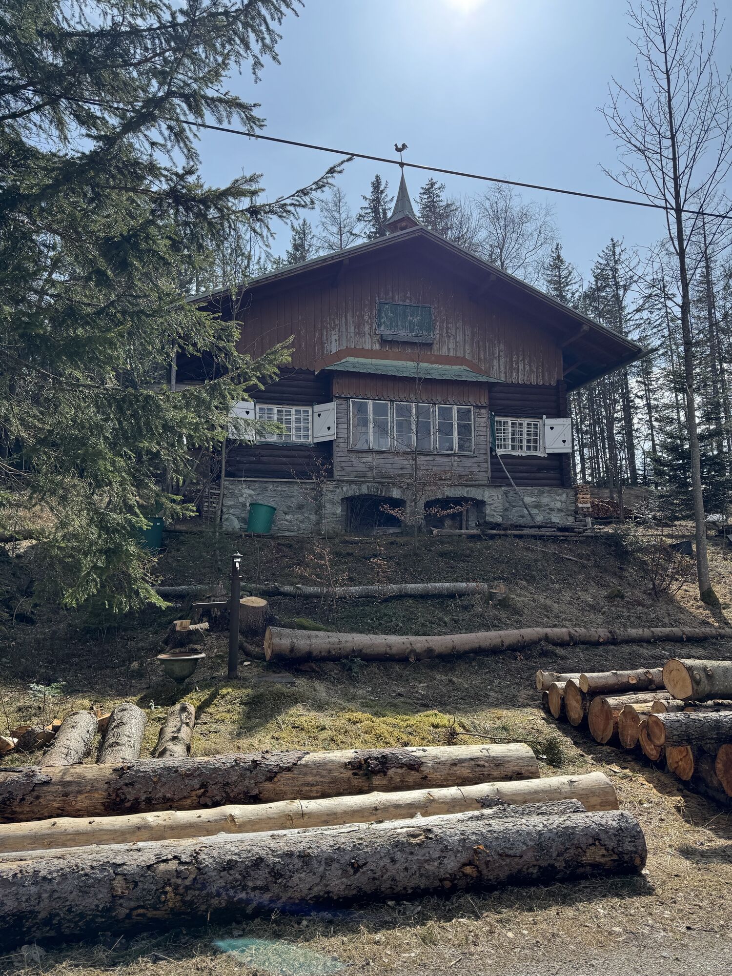
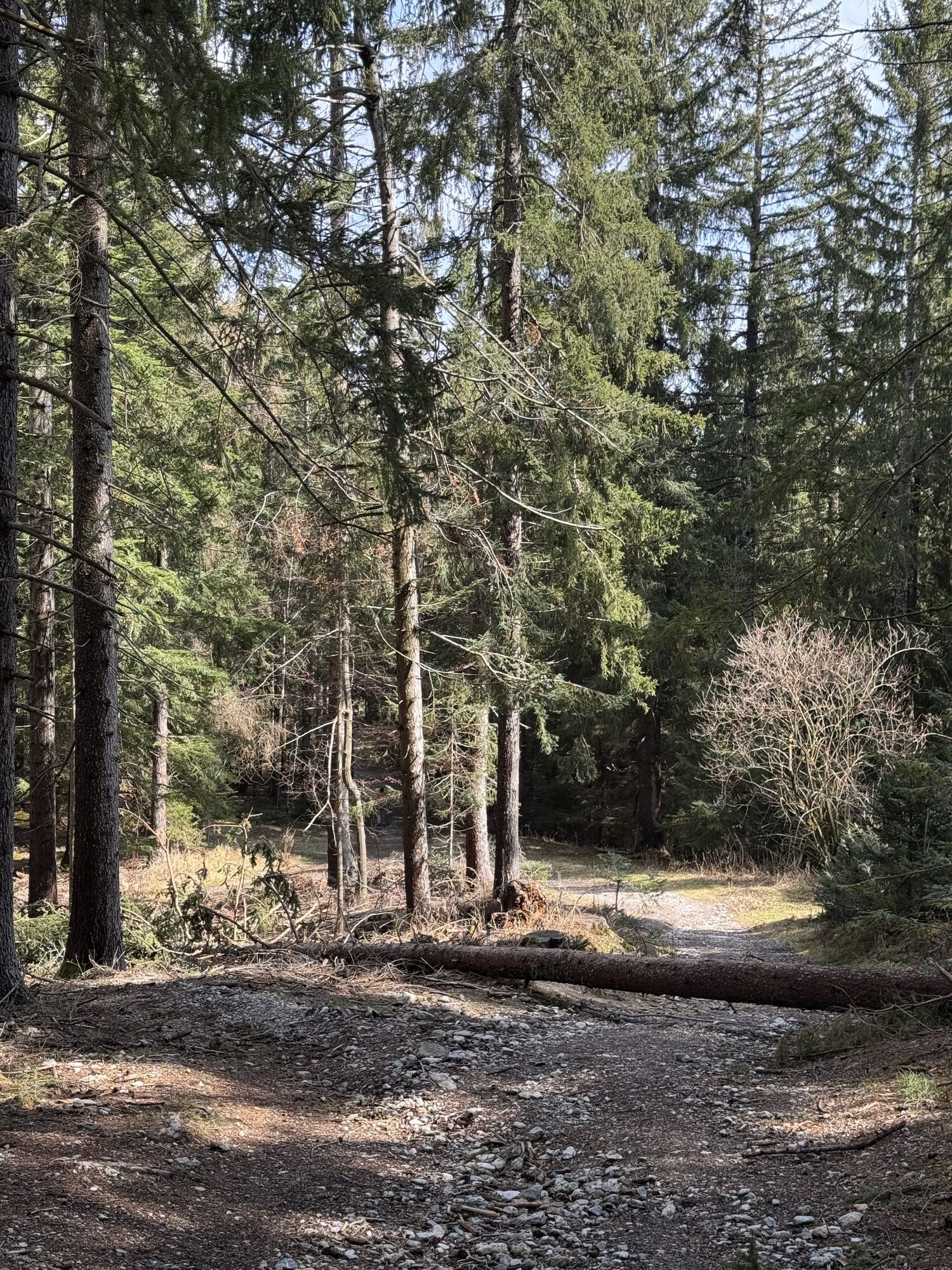


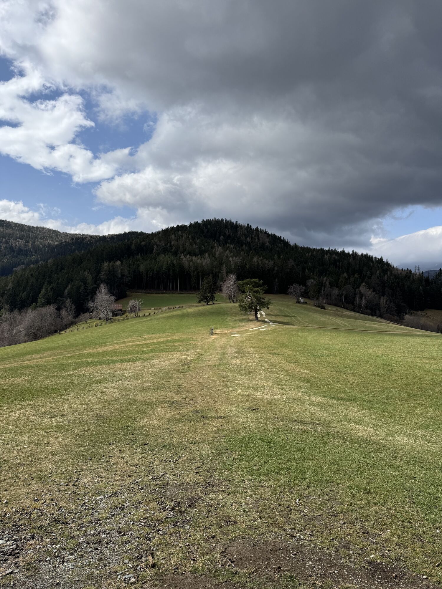


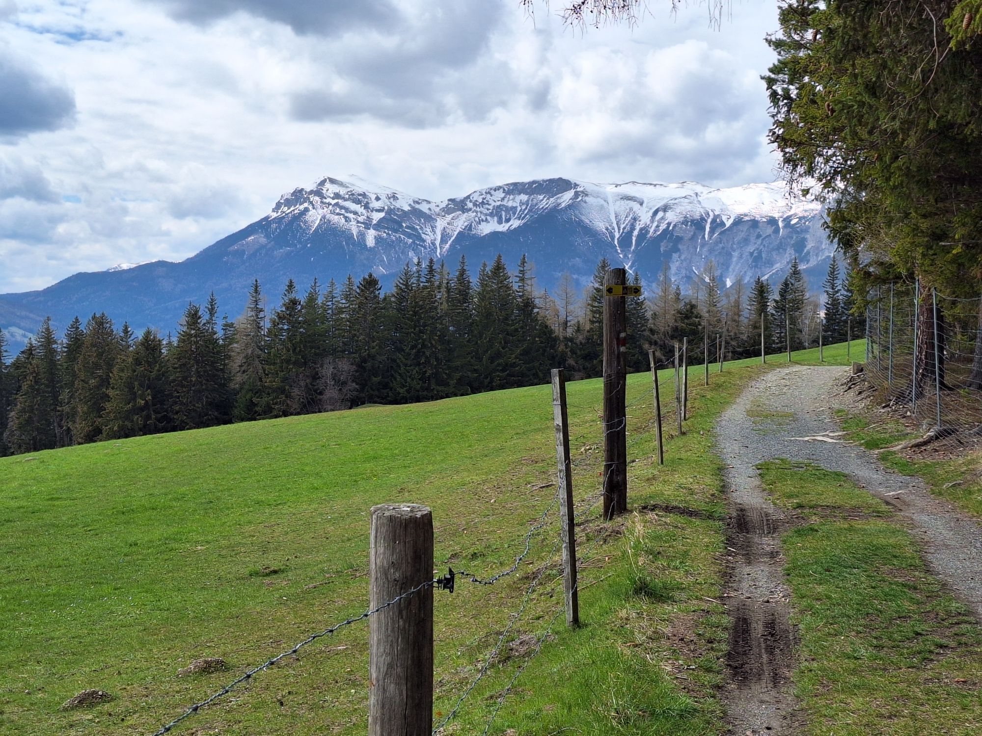

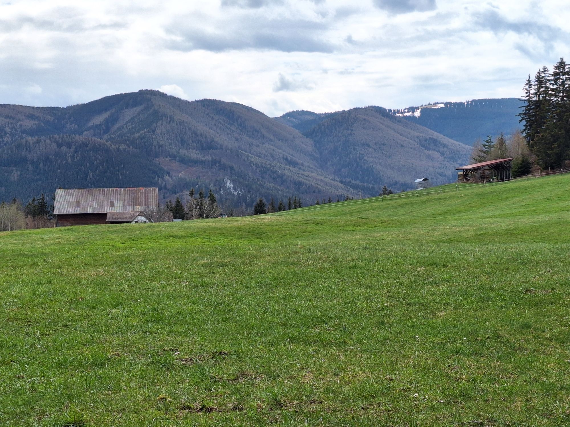
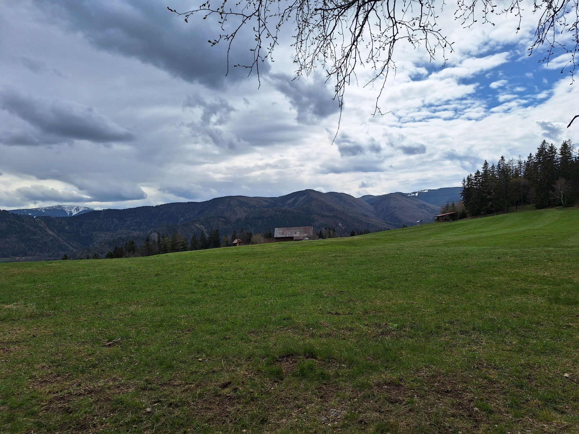
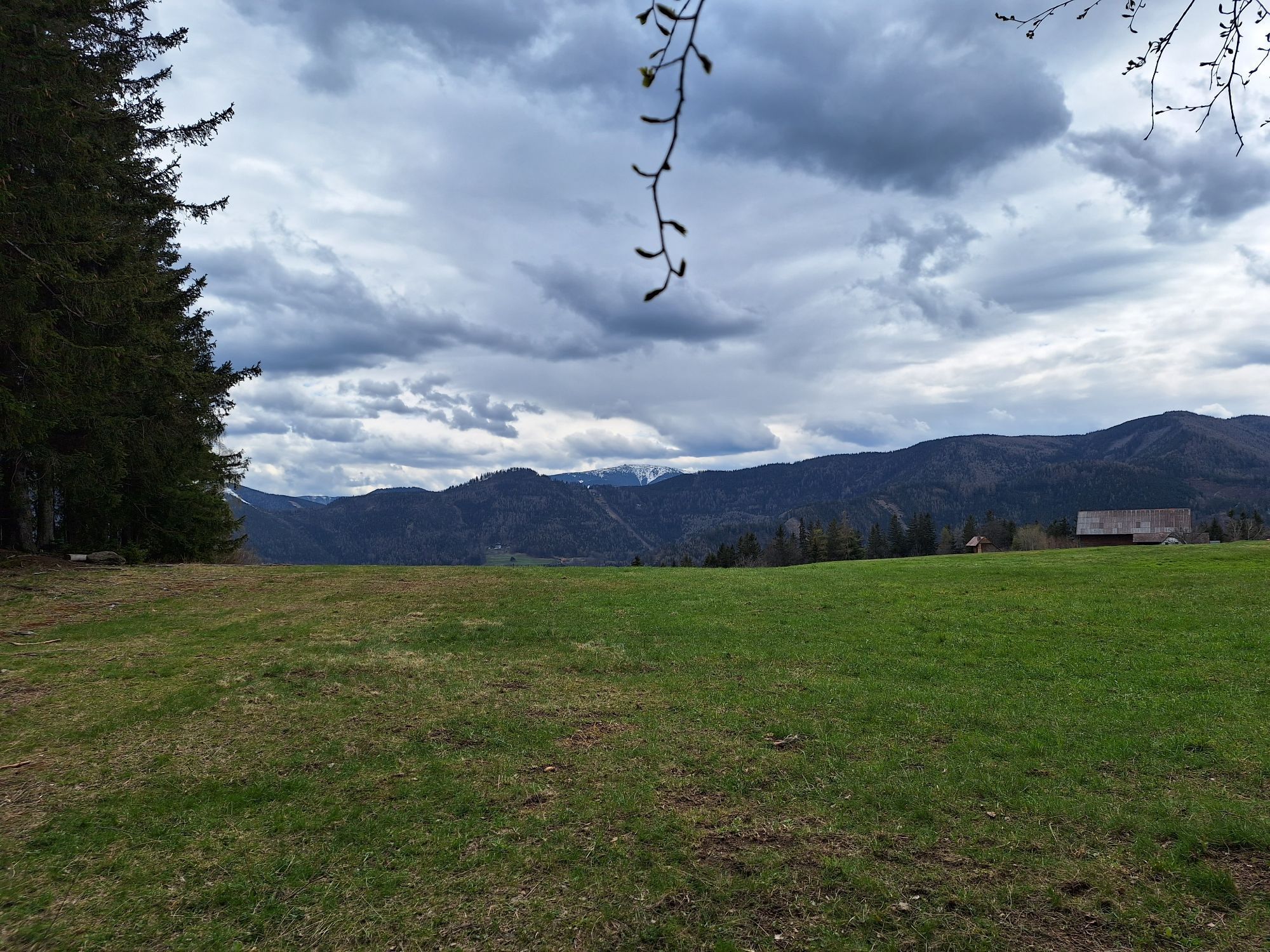
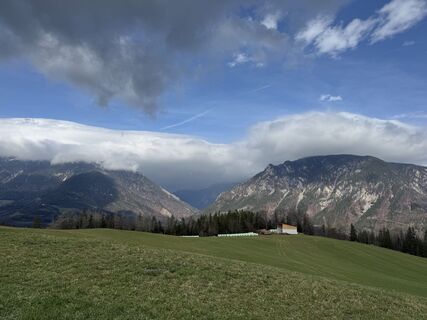
We can expect a snowshoe hike on the Kreuzberg between Rax and Schneeberg. We can thus enjoy the view of the two distinctive mountains of Lower Austria. From Prein an der Rax we hike via the Orthof to...
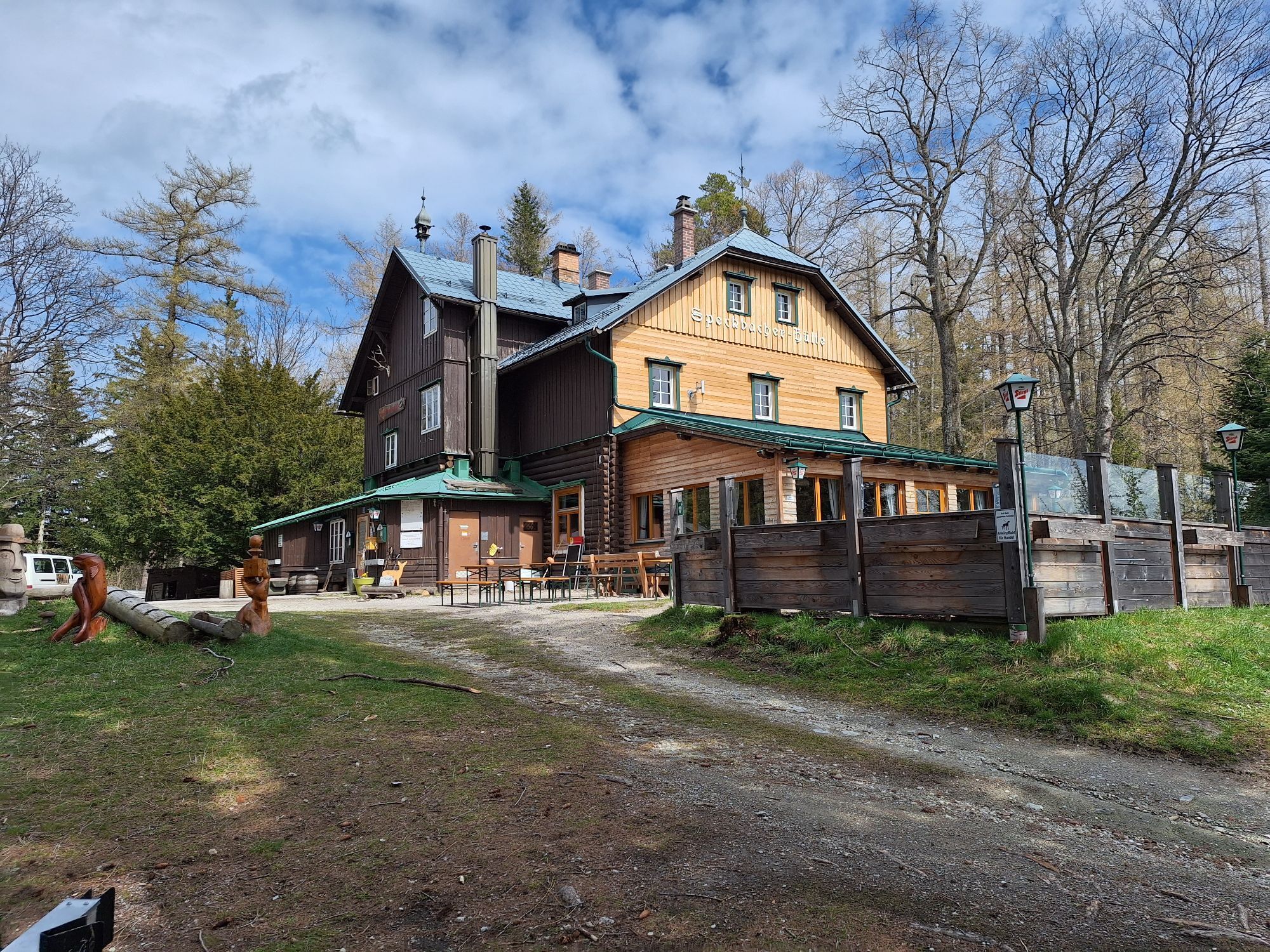
We can expect a snowshoe hike on the Kreuzberg between Rax and Schneeberg. We can thus enjoy the view of the two distinctive mountains of Lower Austria. From Prein an der Rax we hike via the Orthof to the Speckbacher Hut. From there it continues over the Stoier Höhe and the Flackl Inn down to Reichenau an der Rax.


From the Preinerhof, we first follow the road through the Eselbachgraben to the first hairpin bend, then we go straight up the Eselbachgraben through the forest to the Orthof. At the mountain pass, we turn left - generally following the road - and continue via the "Franz Werfel Way" to the Speckbacher Hut. From here we follow path 834 over the Kaasbühel to the Stoierhöhe and then the path (yellow marking) to the Hinterleiten (Flackl Inn). From the Flackl Inn, we walk along the road through the villa district to the main road/Erlangerplatz.
Equip yourself according to the season (snowshoes, mountain-appropriate and winter-proof clothing and footwear). Take a hiking map and your mobile phone with you and save the mountain rescue emergency number: 140
Please pay attention to the weather conditions and only go out in good, stable weather and good visibility. WARNING: Absolutely observe avalanche danger! http://www.lawinenwarndienst-niederoesterreich.at/
Make sure when choosing the route that it matches your experience and condition. Inform yourself about the weather forecast beforehand. Weather in the mountains can change surprisingly quickly. Therefore, always start out properly equipped.
Check whether the huts and snack stations you want to visit on the way are open. Inform someone about your chosen route and your planned return before you set off.
Mountain rescue emergency number: 140
EU emergency number: 122
Avalanche info: www.lawinenwarndienst-niederösterreich.at
A2 to Seebenstein junction - S6 to Gloggnitz - B27 to Reichenau an der Rax - then continue towards Prein an der Rax
Arrival: By Southern Railway to Payerbach-Reichenau station. Between Payerbach-Reichenau station and Prein an der Rax (Preinrotte stop), buses run at regular intervals. (Line 342)
Departure: Between Erlangerplatz in Reichenau an der Rax and Payerbach-Reichenau station, bus line 341 runs regularly.
Alternatively, you can use the RUFbus Semmering-Rax, which takes you individually to the start and end points of the hike.
RUFbus stops:
Payerbach-Reichenau station 35
Raxalpenhof Prein 2 (12 minutes’ walk from the starting point)
Erlangerplatz/medical center 22
Parking facilities in Prein.
Tourism Office Reichenau
Tel. +43 2666 / 52865,
www.reichenau.at
Wiener Alpen in Niederösterreich Tourismus GmbH
Schlossstraße 1,
2801 Katzelsdorf
Tel. +43 2622 / 78960
Speckbacher Hut: Check the opening times beforehand.
Combine your hike with a stay at the Wellness Seminar Hotel Raxalpenhof in Prein!
Popularne wycieczki w okolicy
- 4,8
Circular hike in Payerbach via anniversary viewpoint and Sched chapel
średniWędrówka8,84 km - 4,9
"Schneealpe" - "Windberg 1903m" Rundkurs
średniWędrówka14,3 km - 4,8
Raxplateau Runde 12km
średniWędrówka11,3 km - 4,8
Krummbachstein Dez 20
średniWędrówka15,7 km - 4,8
Karl Lechnerhaus - Stuhleck
średniWędrówka7,81 km - 4,7
Gsohlhirnsteig - Ottohaus - Törmweg (Rundwanderung)
średniWędrówka11,0 km - 4,6
Krummbachstein Rundwanderung, NÖ
średniWędrówka15,2 km - 4,4
Höllental Gr. Höllental AV Steig Ottohaus Wachhüttelkamm ret. 09.06.2017
ciężkiWędrówka10,6 km - 4,4
Szlak po płaskowyżu Hochschneeberg/Klosterwappen
średniWędrówka7,27 km - 4,2
Kummerbauerstadl-Erzkogel-Sonnwendstein-Maria Schutz-Kummerbauerstadl
światłoWędrówka12,2 km
Wędrówki i tropienie


Nie przegap ofert i inspiracji na następne wakacje
Twój adres e-mail została dodana do listy mailingowej.