







Winter hiking from Steyersberger Schwaig to Arabichl
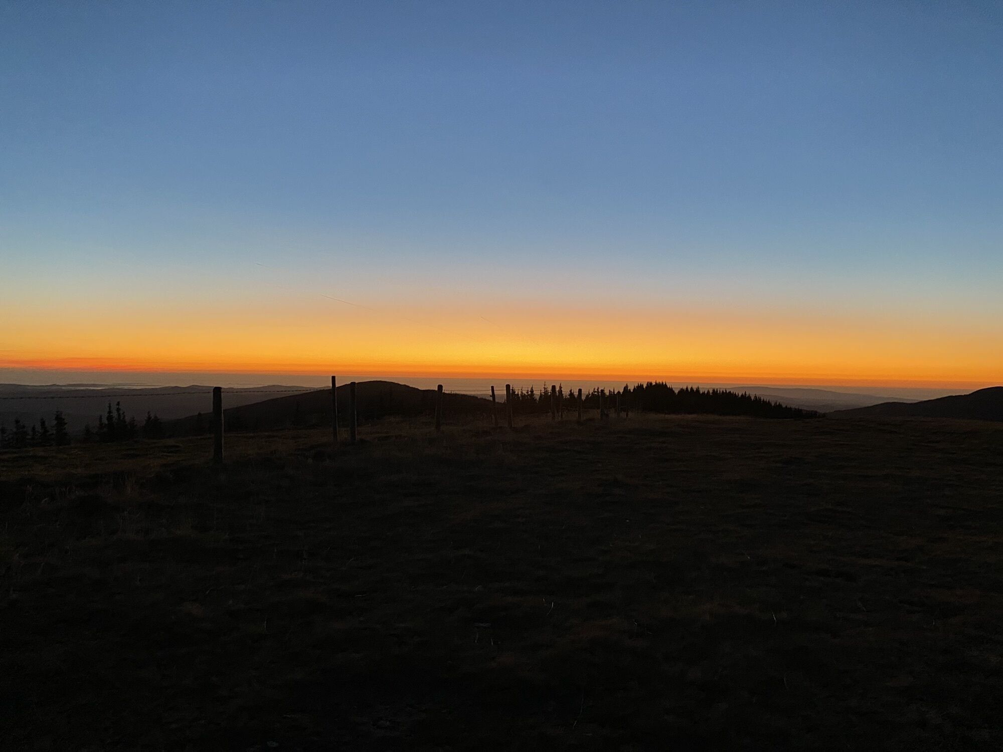
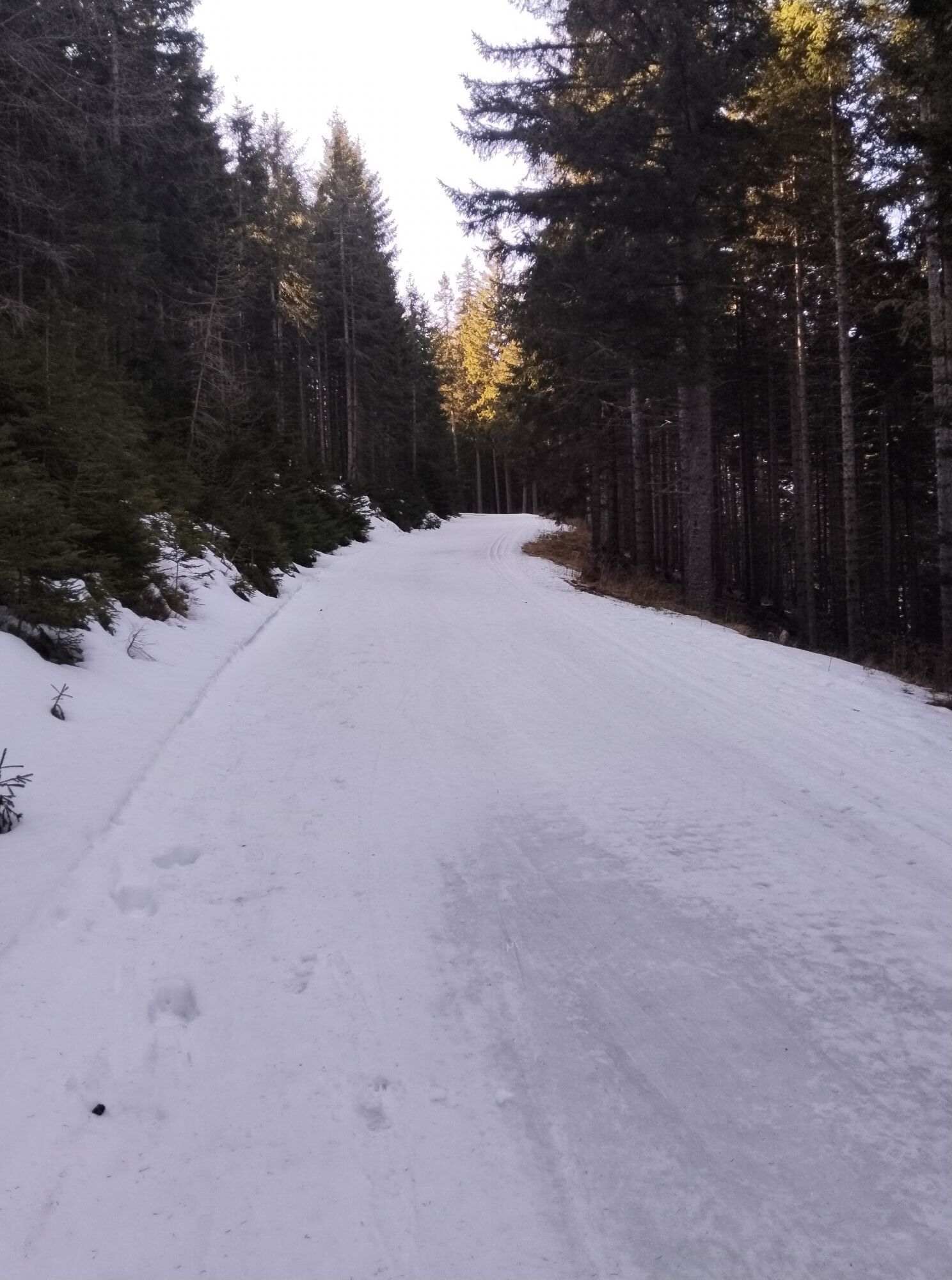
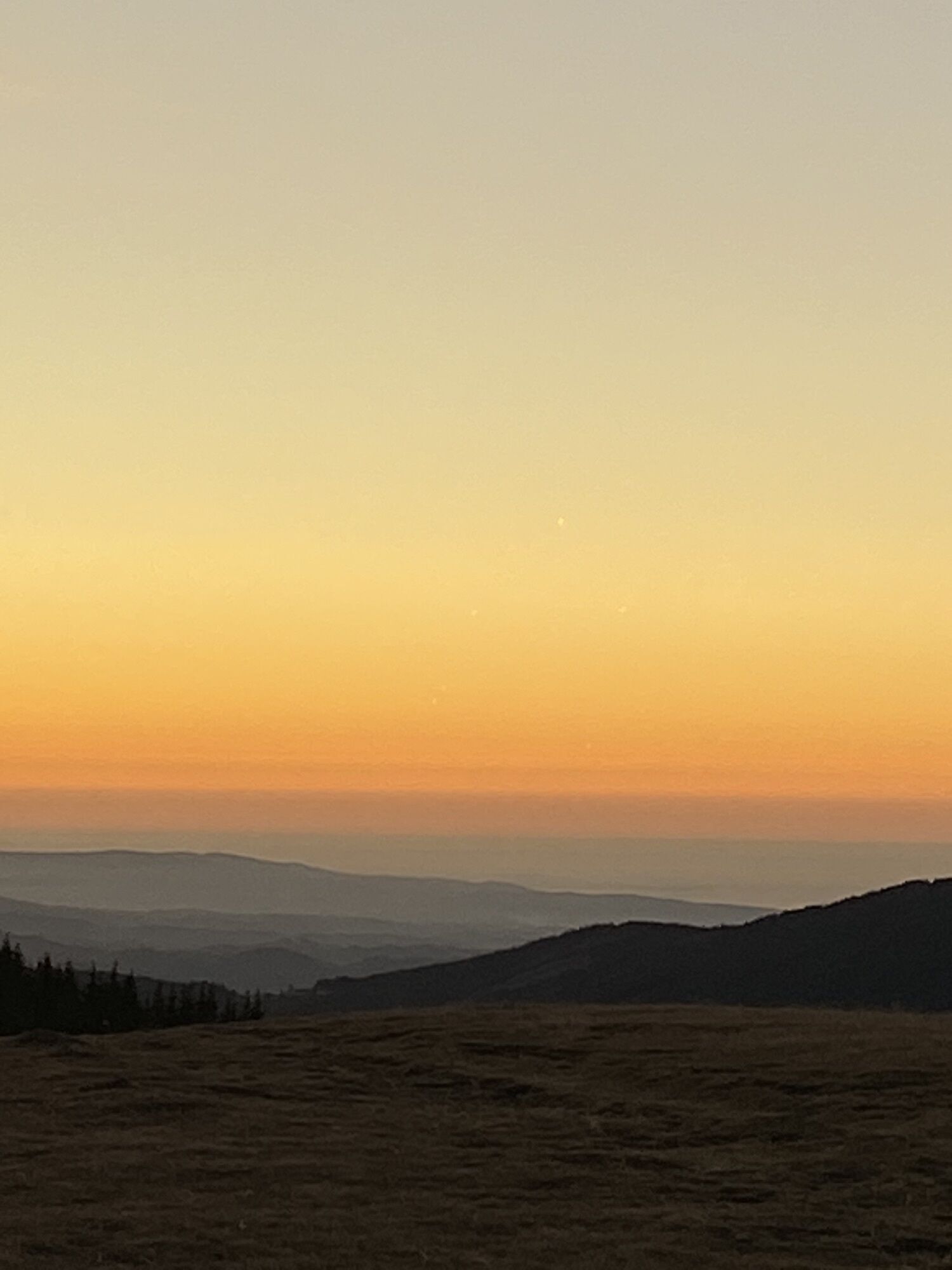
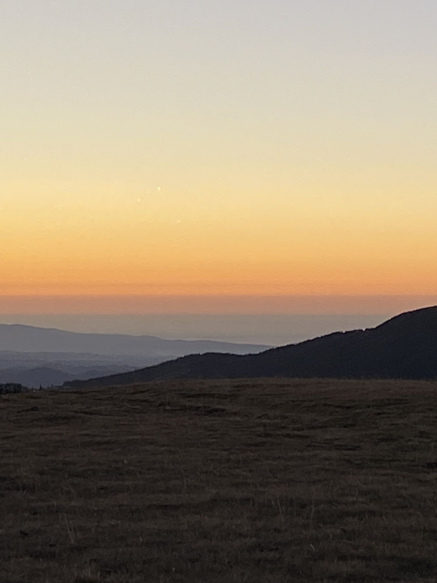
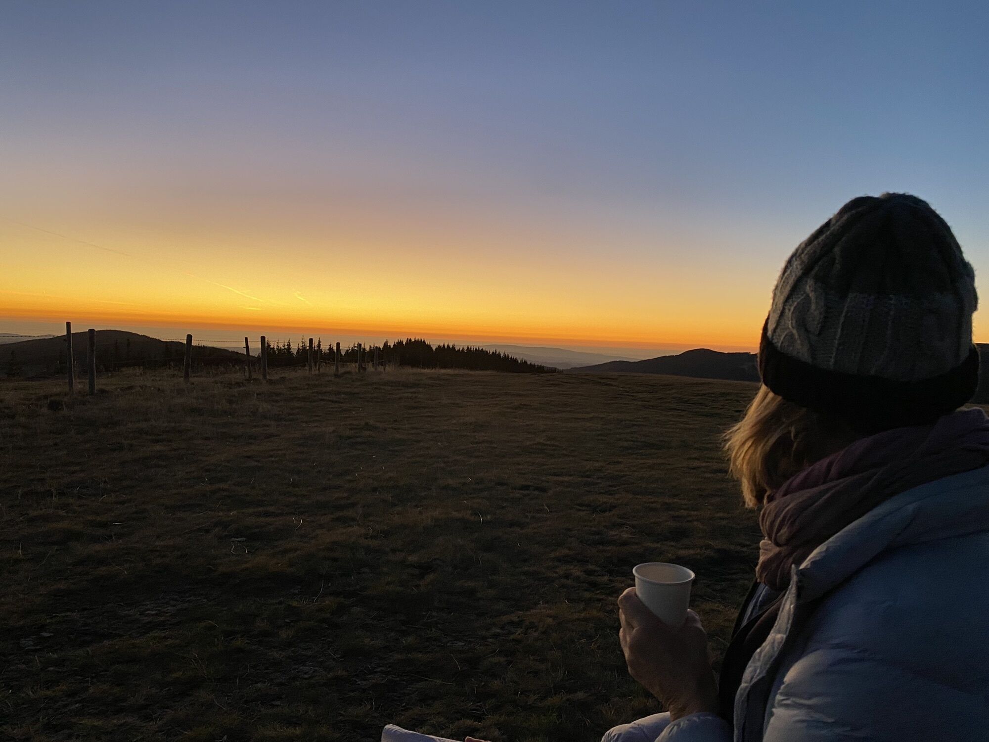
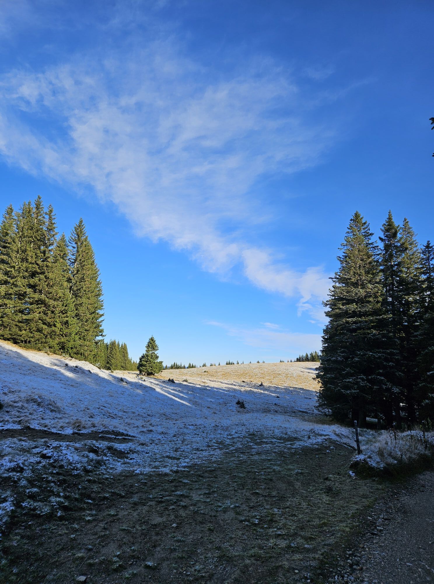
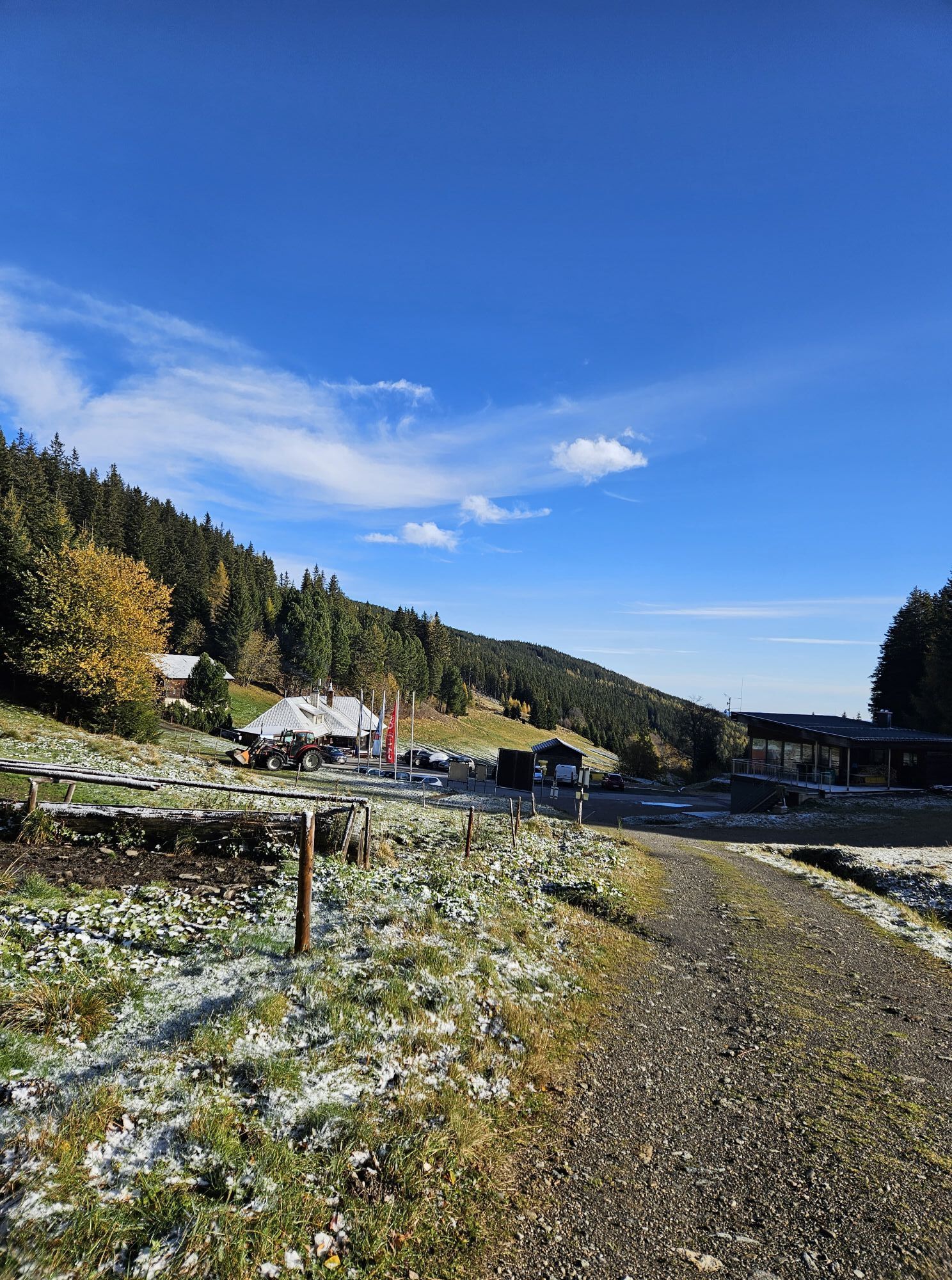
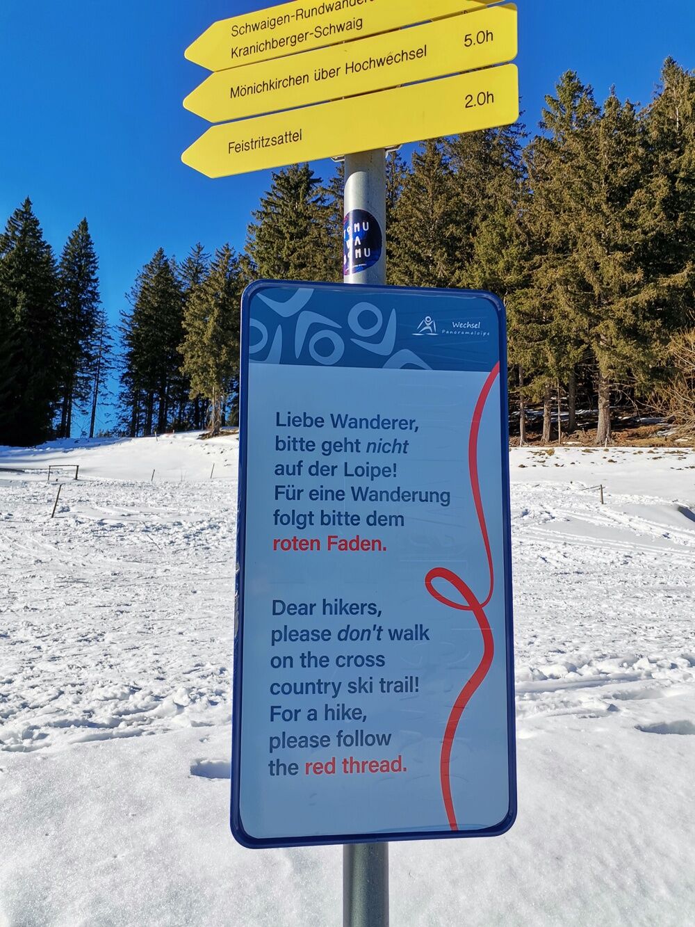
The Steyersberger Schwaig and the Arabichl are also a popular destination for hikers and cross-country skiers in winter. Therefore, please do not walk on the prepared cross-country ski trail but on the...
The Steyersberger Schwaig and the Arabichl are also a popular destination for hikers and cross-country skiers in winter. Therefore, please do not walk on the prepared cross-country ski trail but on the hiking trail, which is marked with a red line for hikers in winter.
The starting point of the hiking trail on the Steyersberger Schwaig is well marked. The trail first leads past the valley station of the ski lift, continues a short distance alongside the cross-country ski trail and then turns left into the forest.
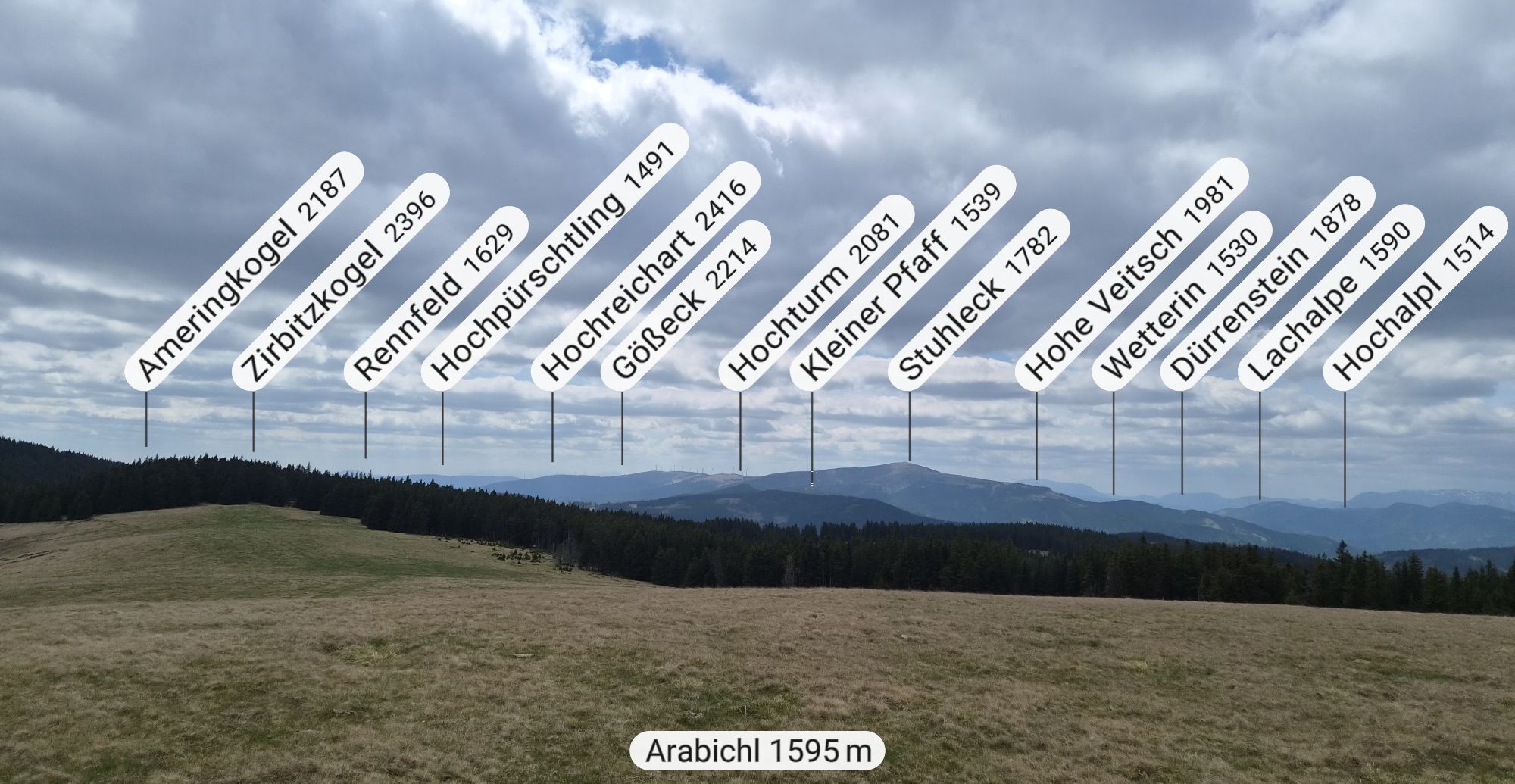
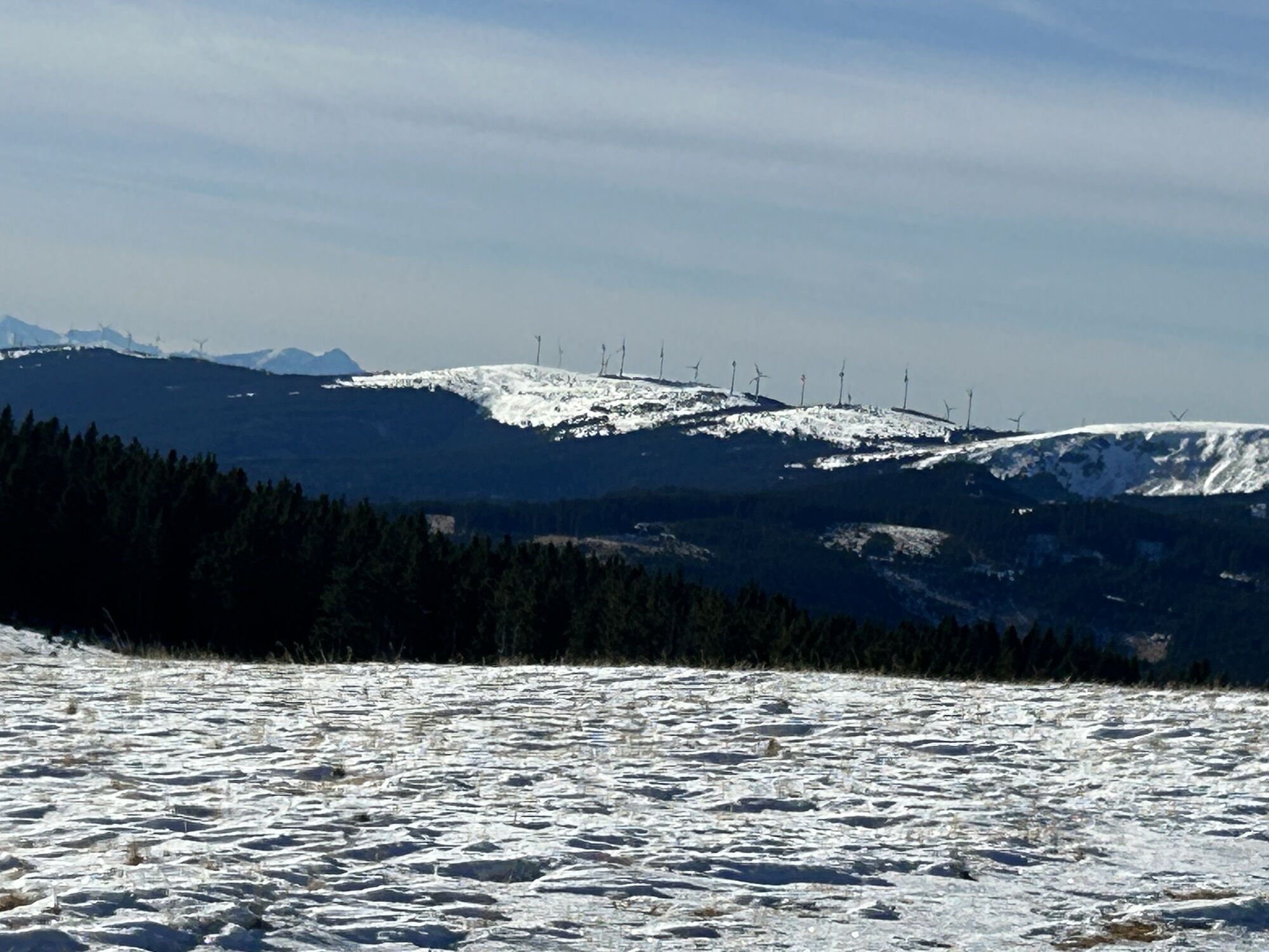
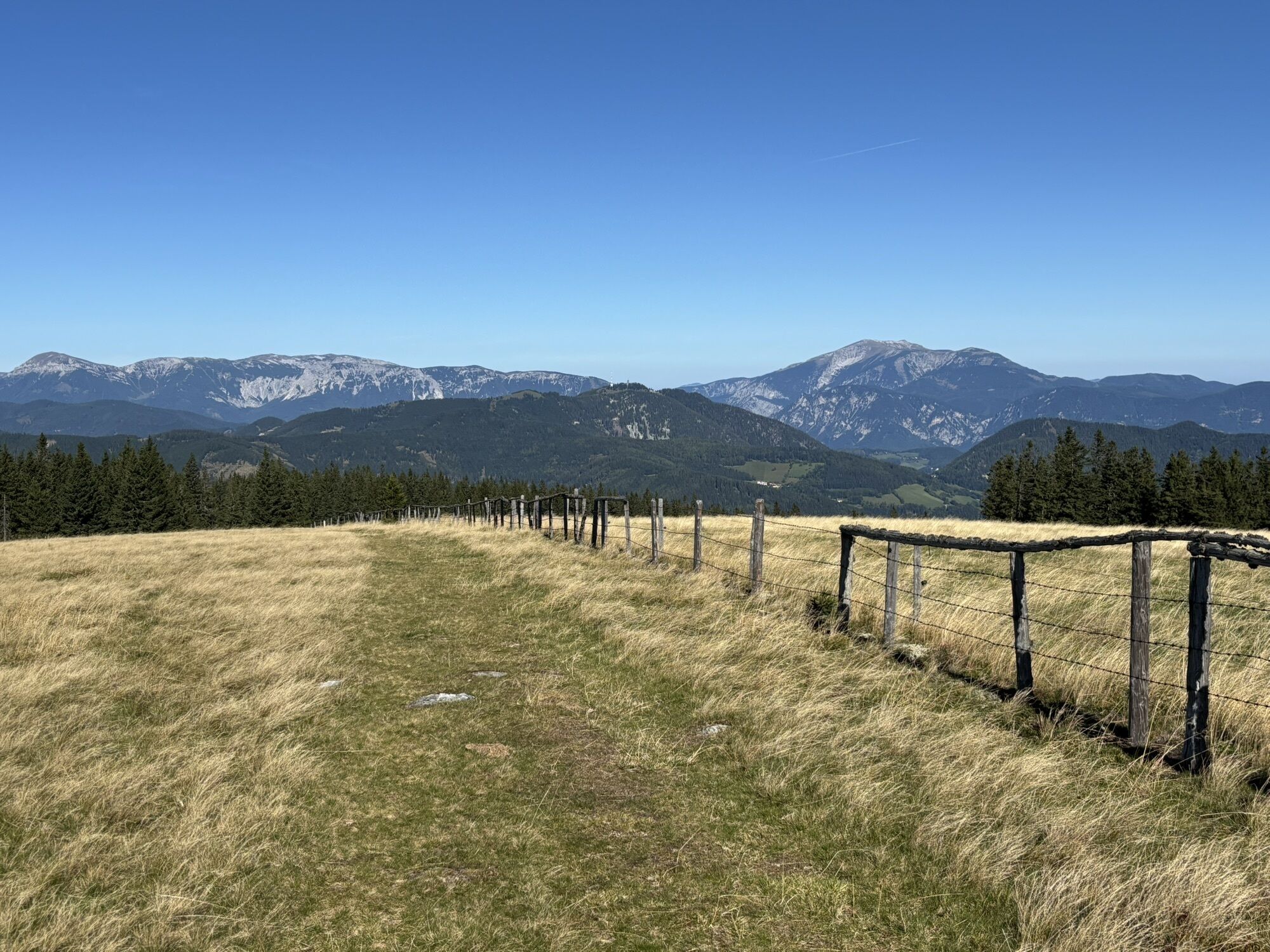
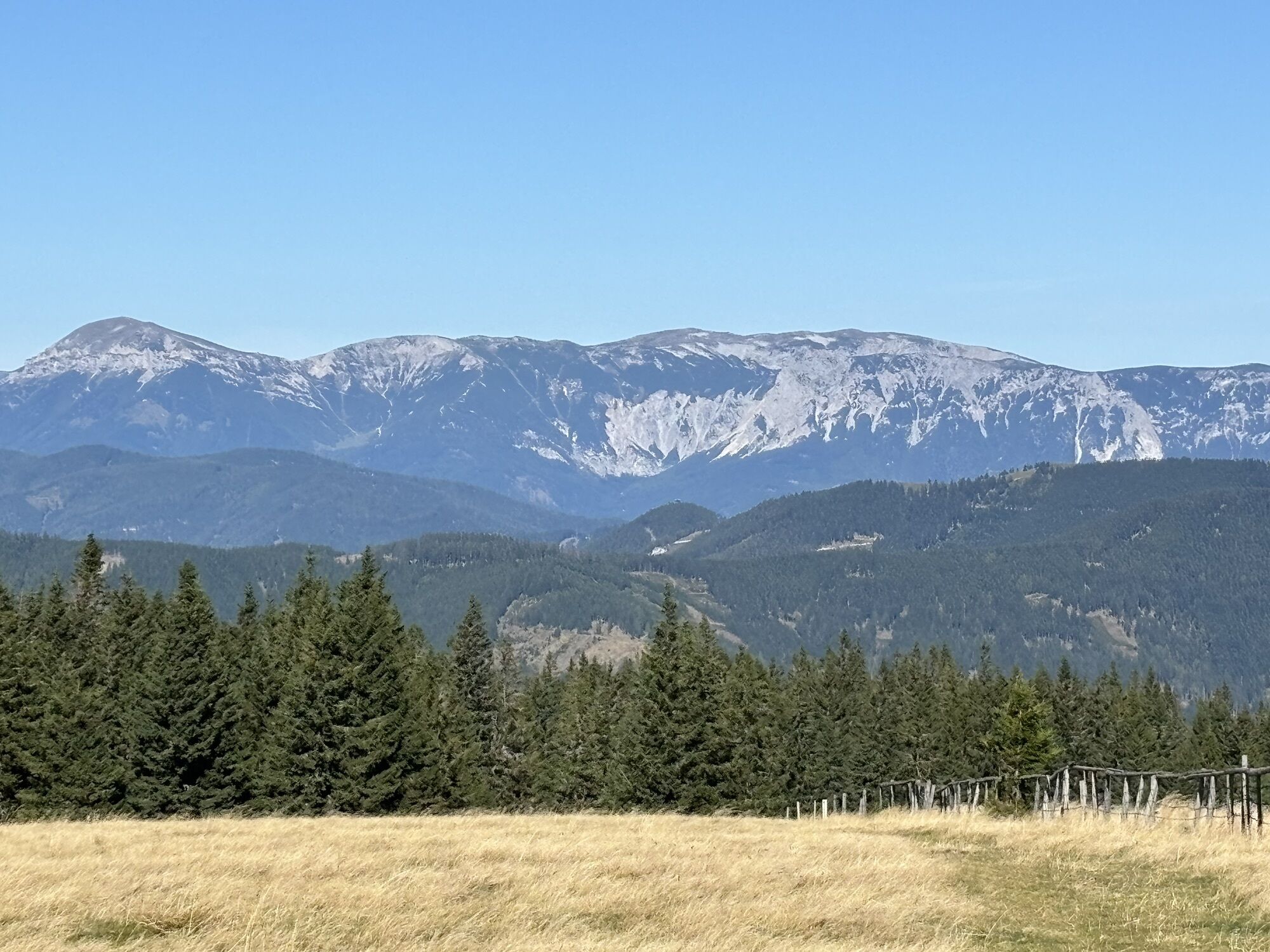
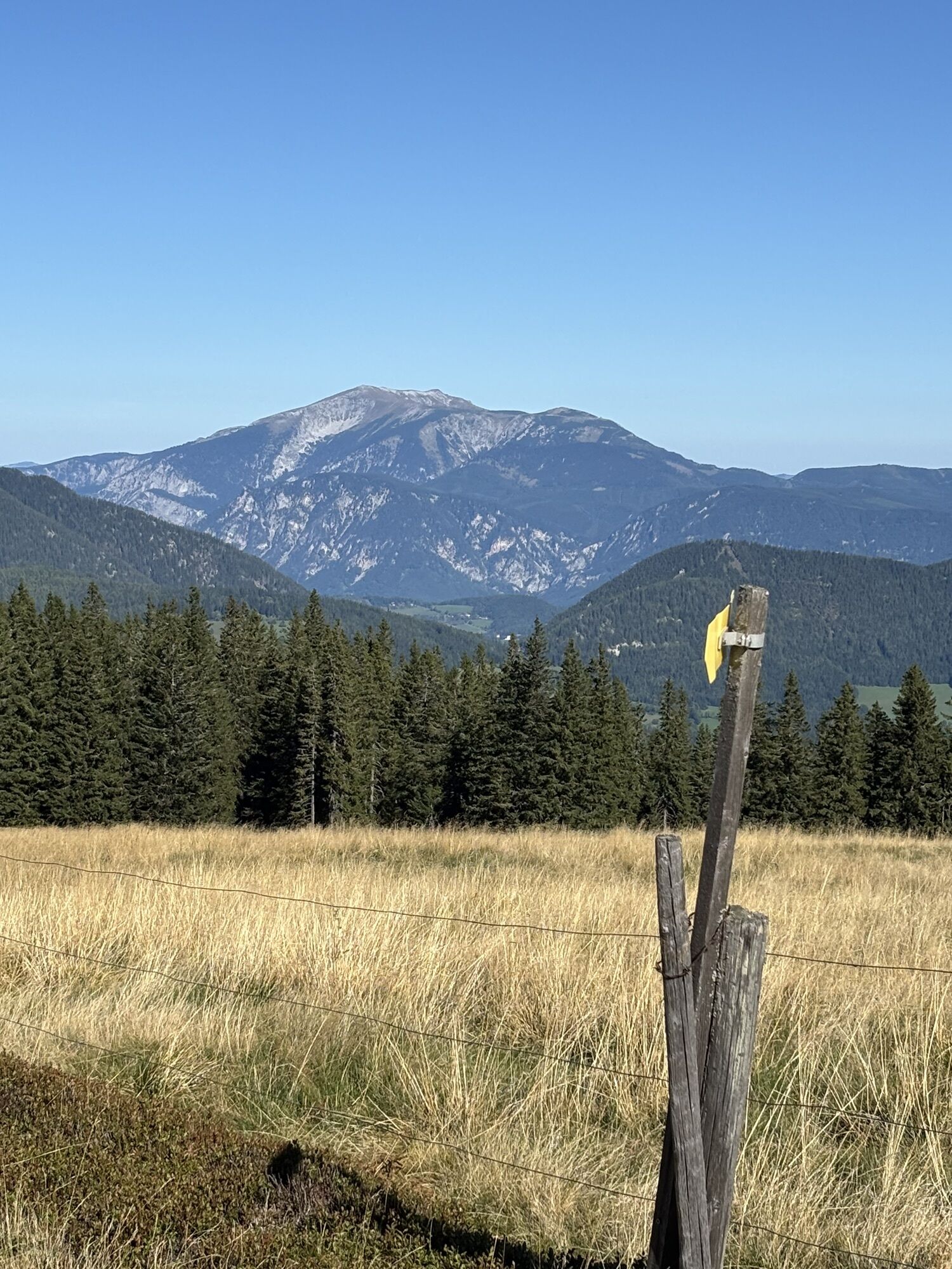
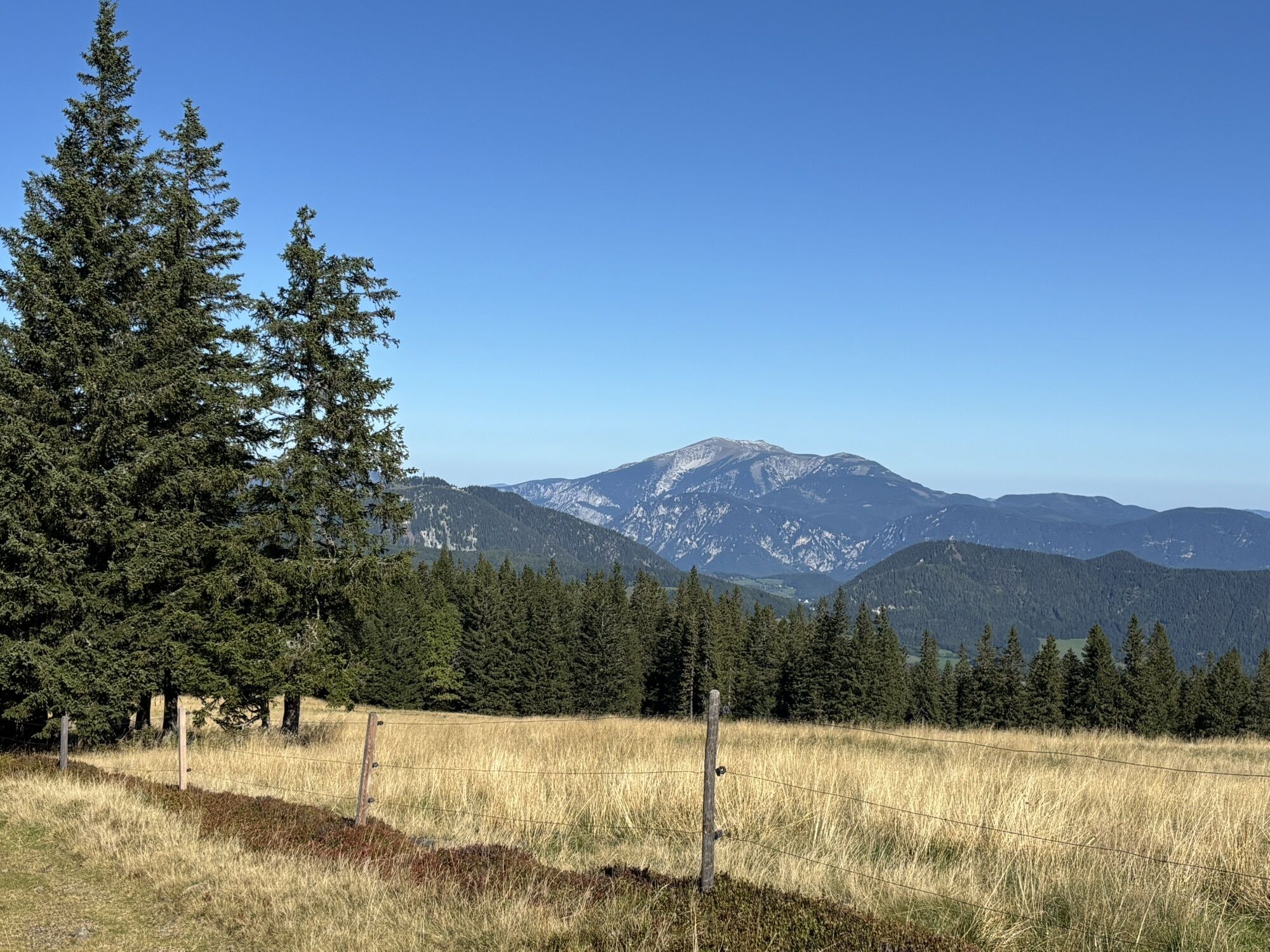
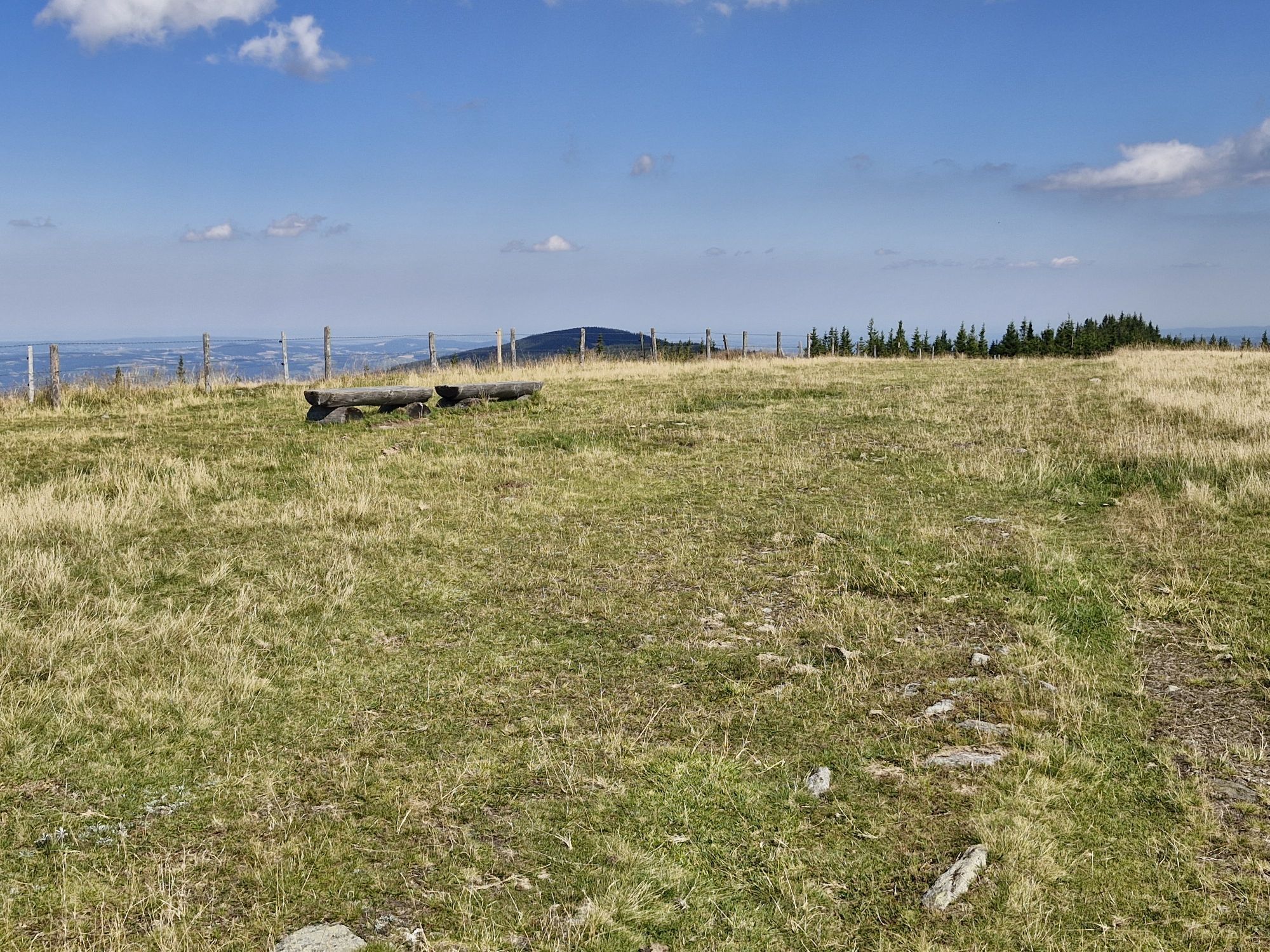
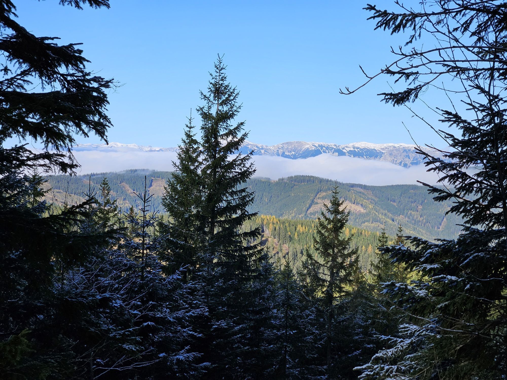
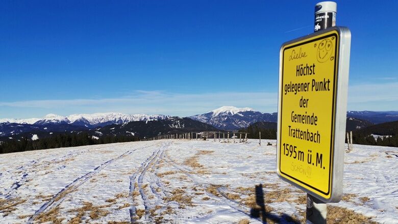
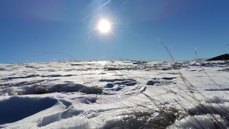
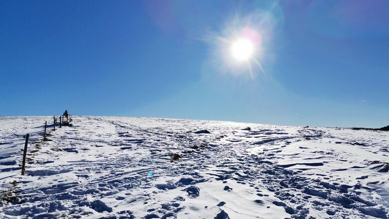
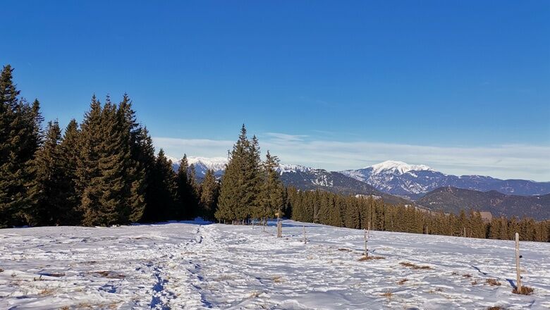
The path winds its way further up the mountain, always alongside the fence. Once you reach the top, you have a fantastic panoramic view of the surrounding hills and peaks. The snow-covered Arabichl glistens in the sunlight and the clear air makes the contours of the distant mountain peaks of the Rax and Schneeberg appear sharp. The benches invite you to pause for a moment and enjoy the tranquillity of the winter landscape.
For the way back, take the same route and we also recommend a walk to the border triangle. The path is marked, turn right before the crest of the Arabichl or left when walking behind. The path is usually well trodden. On Sundays, you might find the cross-country coffee shop at the Ski-doo. And after a refreshment with coffee, tea or schnapps and a short rest on the deckchairs, it's back to the Schwaig.
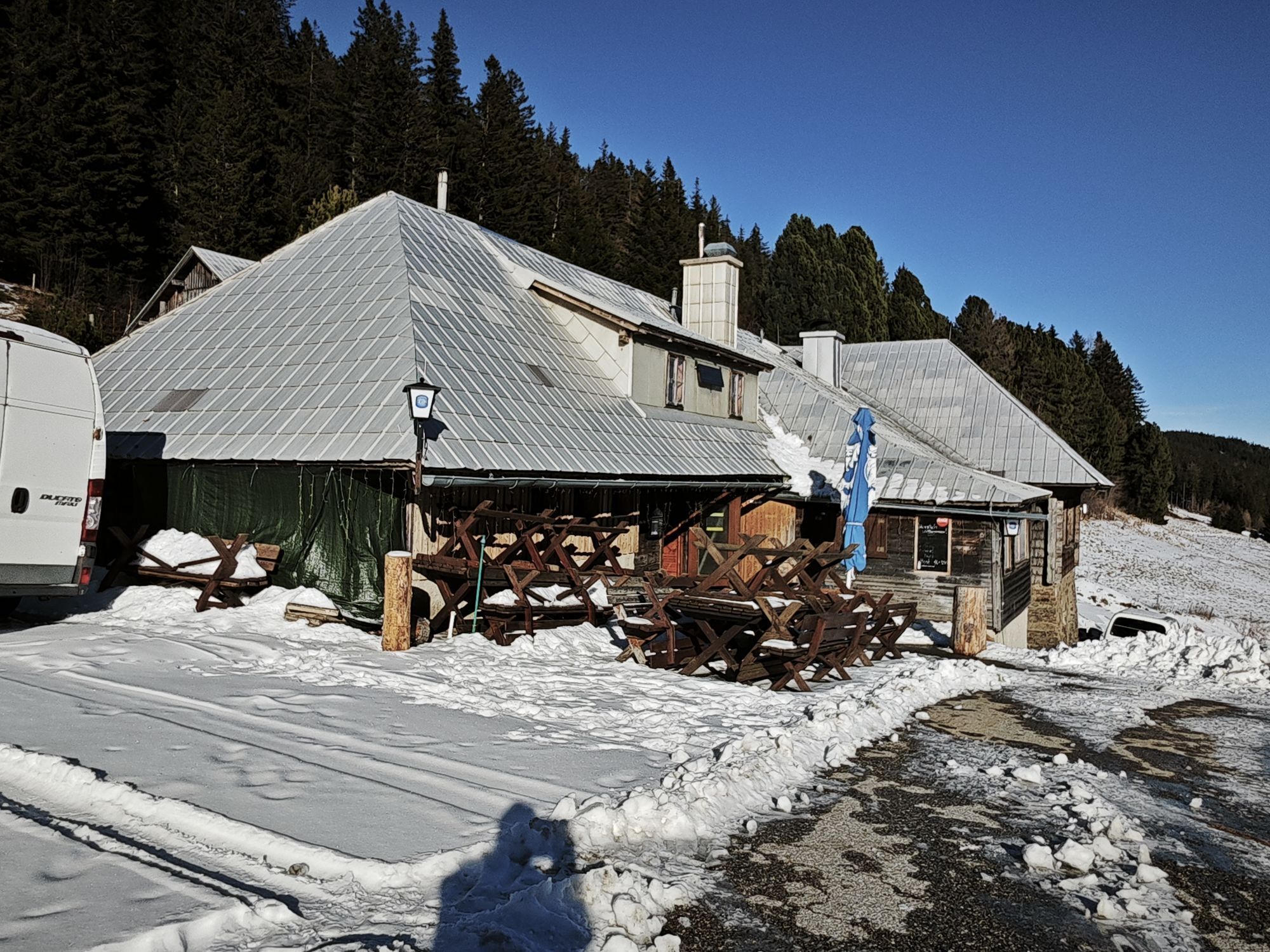
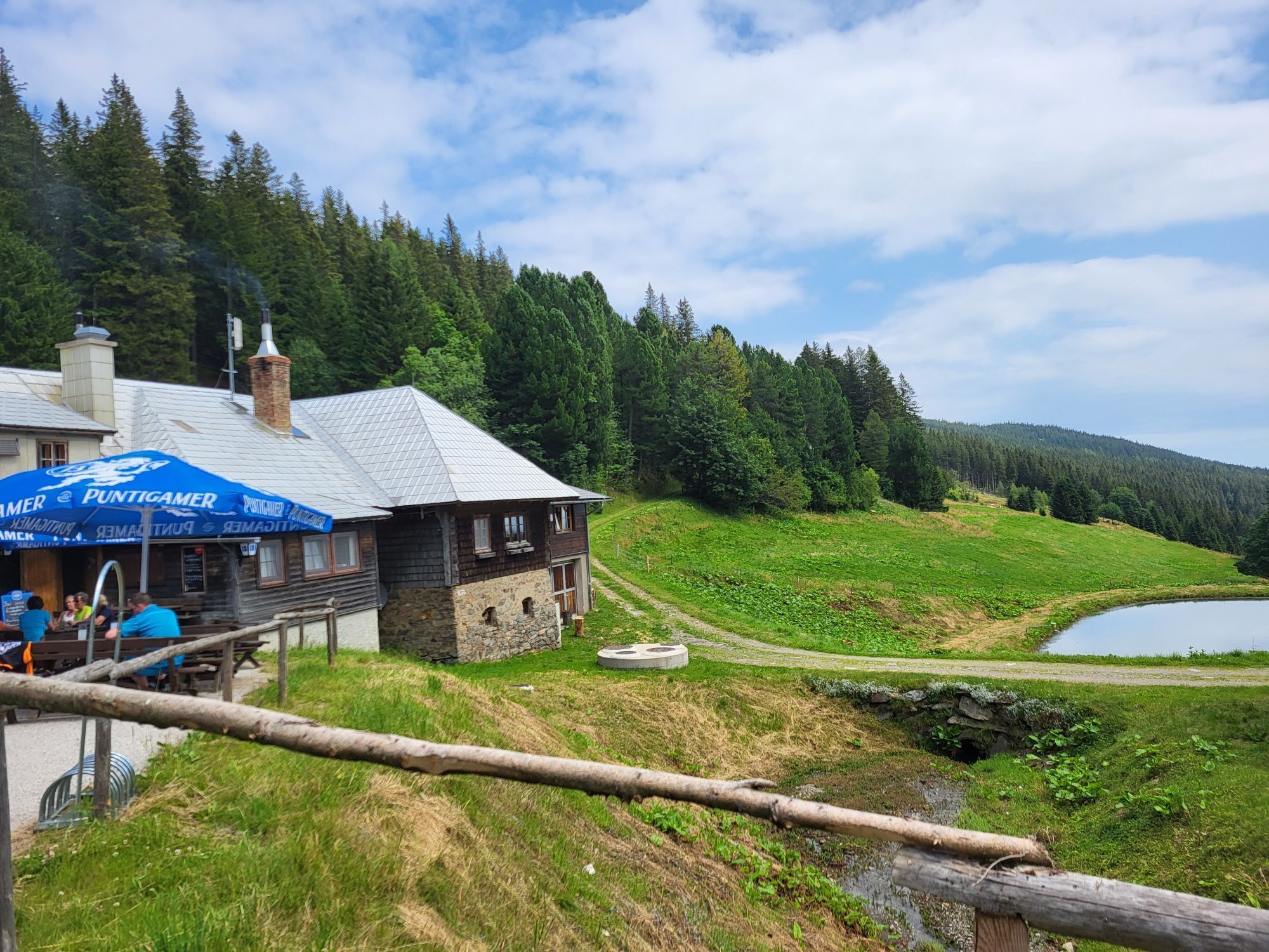
Once at the bottom, it's worth visiting the Steyersberger Schwaig hut, which is open in winter when the cross-country ski trails are open.

Sturdy footwear, poles (with snow baskets in case of snow), waterproof outdoor clothing, hat, gloves, scarf or multifunctional cloth, backpack, headlamp (days are shorter in winter), sunglasses, sun and/or cold protection, water bottle or thermos are indispensable in winter.
The route partially runs through forests and on unpaved paths. In case of snow, the paths are not cleared and may have icy or slippery spots. Use of the paths is at your own risk. It is recommended to pay attention to the early dusk and to plan the routes carefully.
At the access to Steyersberger Schwaig there is a chain fitting place. Please note, in appropriate weather conditions, to fit chains to ensure smooth access. There is no e-charging station near the starting point. Mobile phone reception is sometimes unavailable in the parking area of Steyersberger Schwaig. (CAUTION WITH CAR SHARING)
By car via the A2 exit Aspang/Edlitz – Kirchberg am Wechsel – towards St. Corona on state road 137, 1 km after leaving the town, then turn right and follow the road for 6 km.
or
via the A2 – S6 exit Gloggnitz – Otterthal – Kirchberg am Wechsel – towards St. Corona on state road 137, 1 km after leaving the town, then turn right and follow the road for 6 km.
Public transport access is possible on Saturdays and Sundays via the shuttle taxi from Kirchberg am Wechsel.
More information can be found on the Wechselland.info website.
Parking spaces are available at the Schwaig
Tourism office Kirchberg am Wechsel, 02641/2460
Dining options in the village:
Wirtshaus Grüner Baum, Gasthof-Pension St. Wolfgang, Naturhotel Molzbachhof
Make sure before your visit that the hut at Steyersberger Schwaig is open. And take a look at the webcam. This way you can get a first impression of the current weather situation.
Uzyskaj wgląd Zawsze na żywo z ponad 9 500 kamer internetowych. bergfex Jako użytkownik Pro, możesz teraz zobaczyć odpowiednie kamery internetowe dla wielu wycieczek w aplikacji wycieczki od. Pozwala to na bezpośredni podgląd aktualnych warunków. Popularne wycieczki w okolicy
- 4,8
Hochwechsel-Runde, Waldbach-Mönichwald
średniTrailrunning 17,9 km - 3,7
Schwaigen Rundwanderung
światłoWędrówka 8,24 km - 3,8
St. Corona - Kampstein
średniWędrówka 10,7 km - 4,6
Mariensee - Wildwasserweg - Marienseer Schwaig
światłoWędrówka 8 km - 4,7
Hochwechsel - Tour
Wędrówka 18,5 km - 4,6
Romai Wasserfall Runde, St. Jakob im Walde
średniWędrówka 11,4 km - 4,6
Kampalpe
średniWędrówka 9,95 km - 4,5
Klamm - Speckbacherhütte - Breitenstein - Klamm
średniWędrówka 13,4 km - 4,5
Vom Semmering nach Breitenstein am Bahnwanderweg (September 2023)
światłoWędrówka 9,94 km - 4,5
Rabl-Kreuz-Hütte auf den Hochwechsel
światłoRakieta do chodzenia po śniegu 9,87 km
Wędrówki i tropienie


Nie przegap ofert i inspiracji na następne wakacje
Twój adres e-mail została dodana do listy mailingowej.





