







Winter Hiking Trail Gisliflue
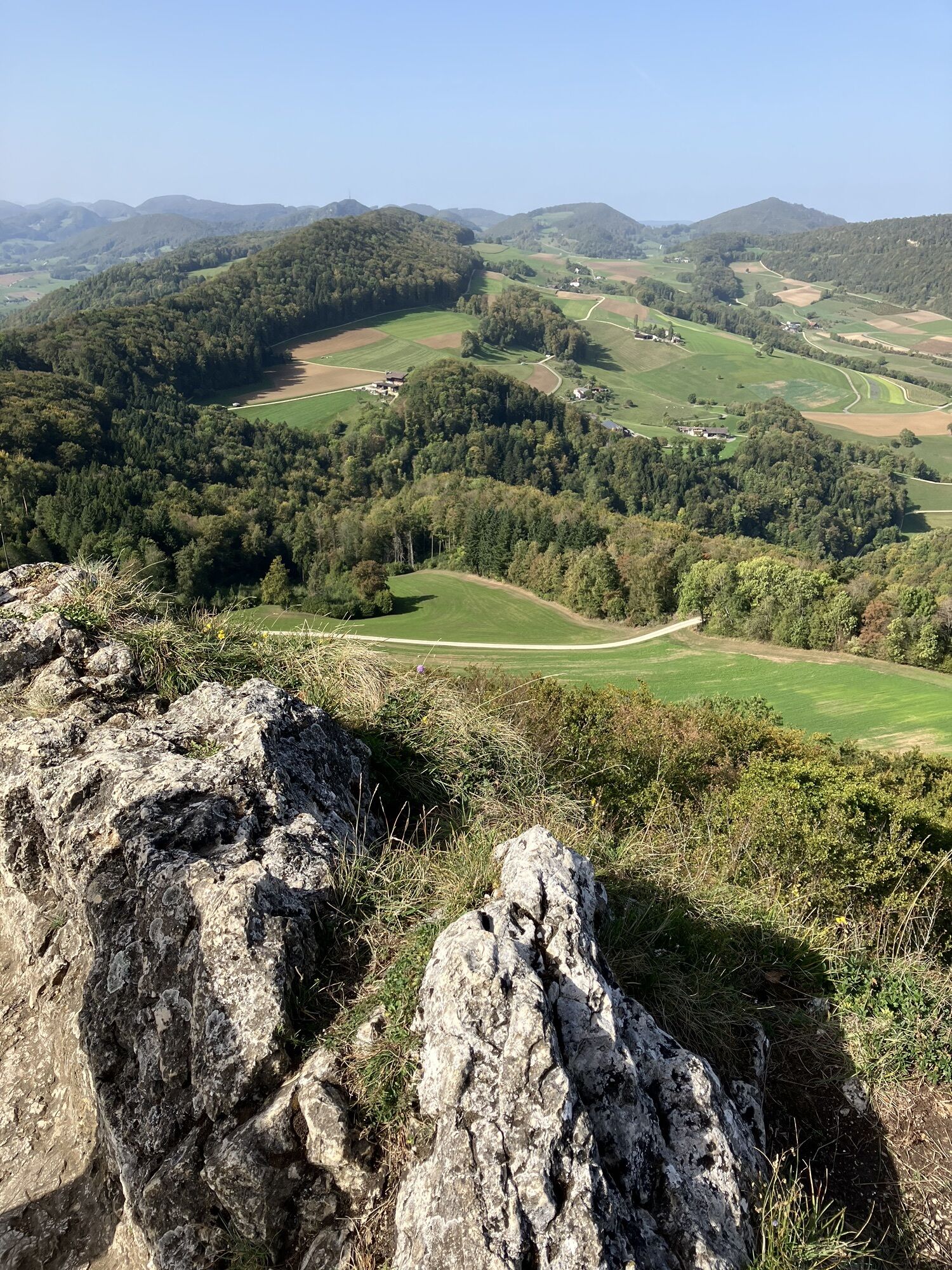
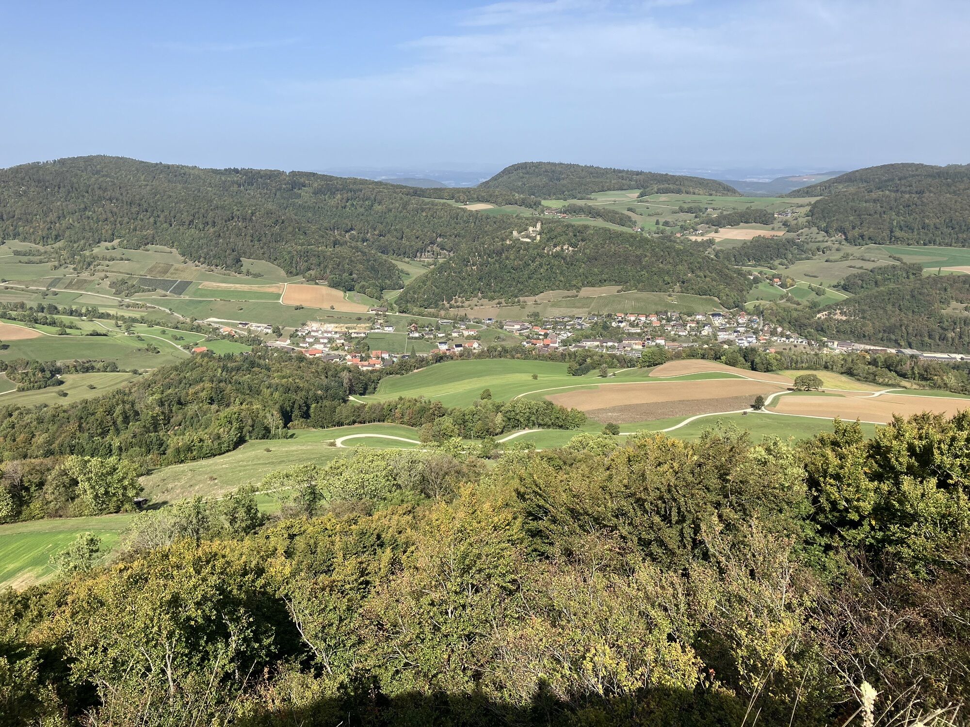
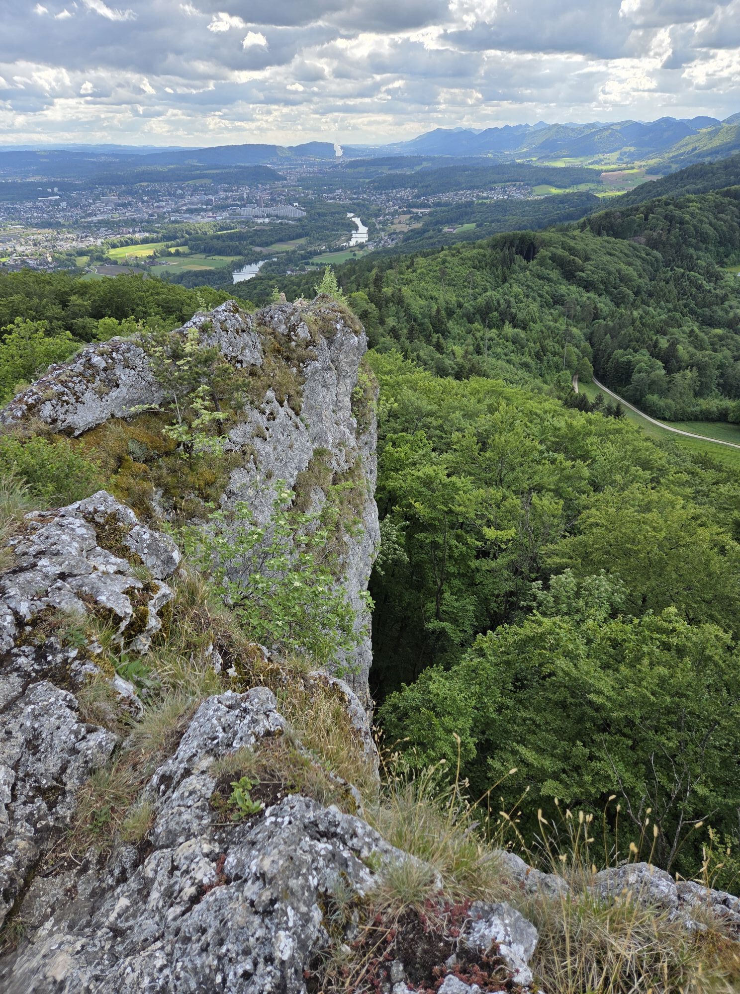
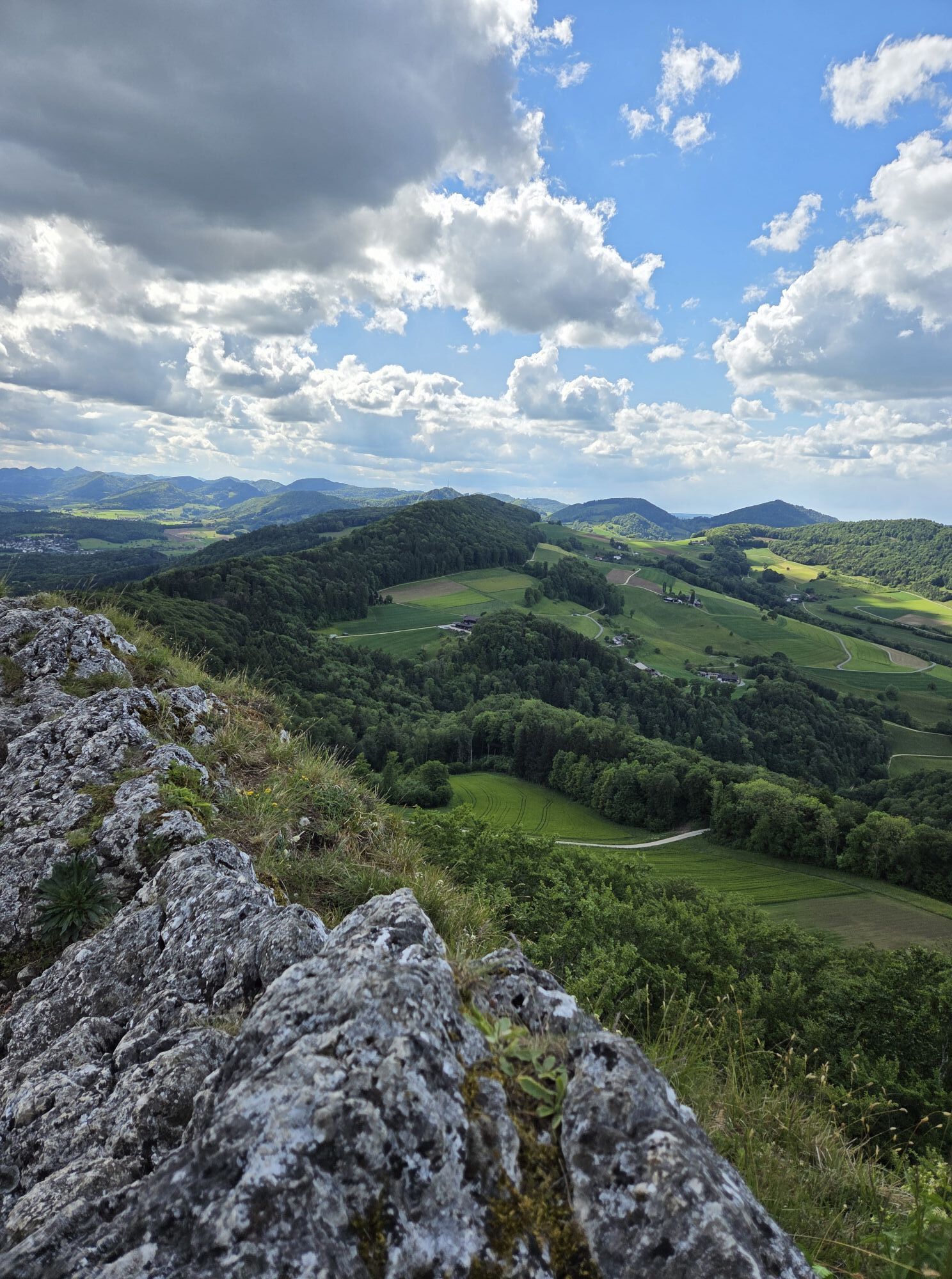
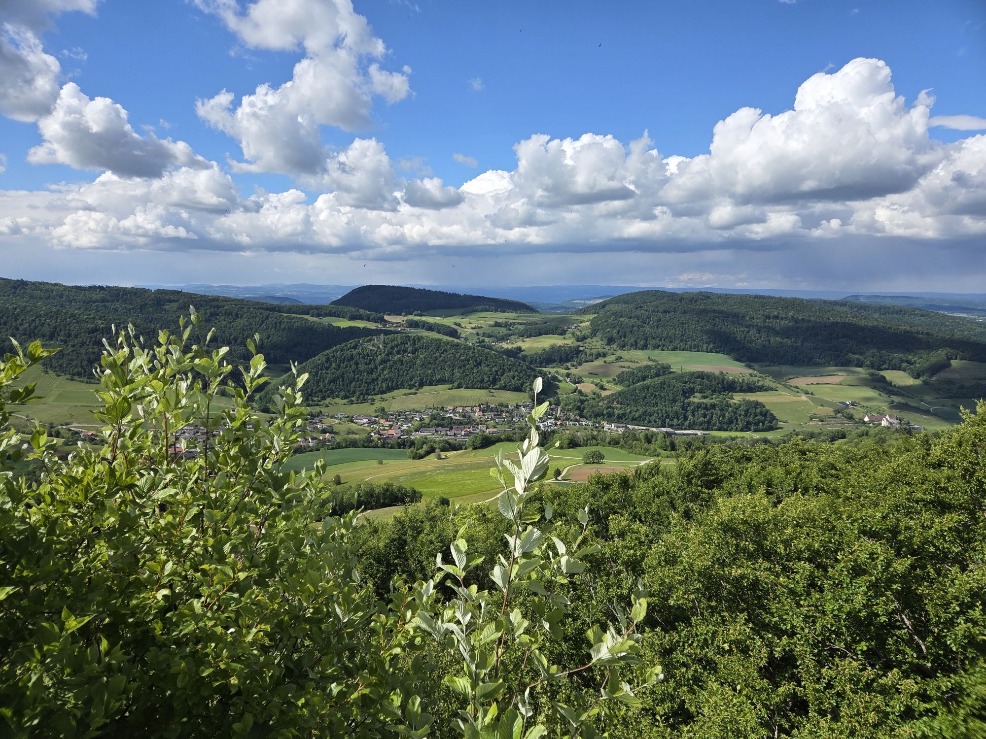
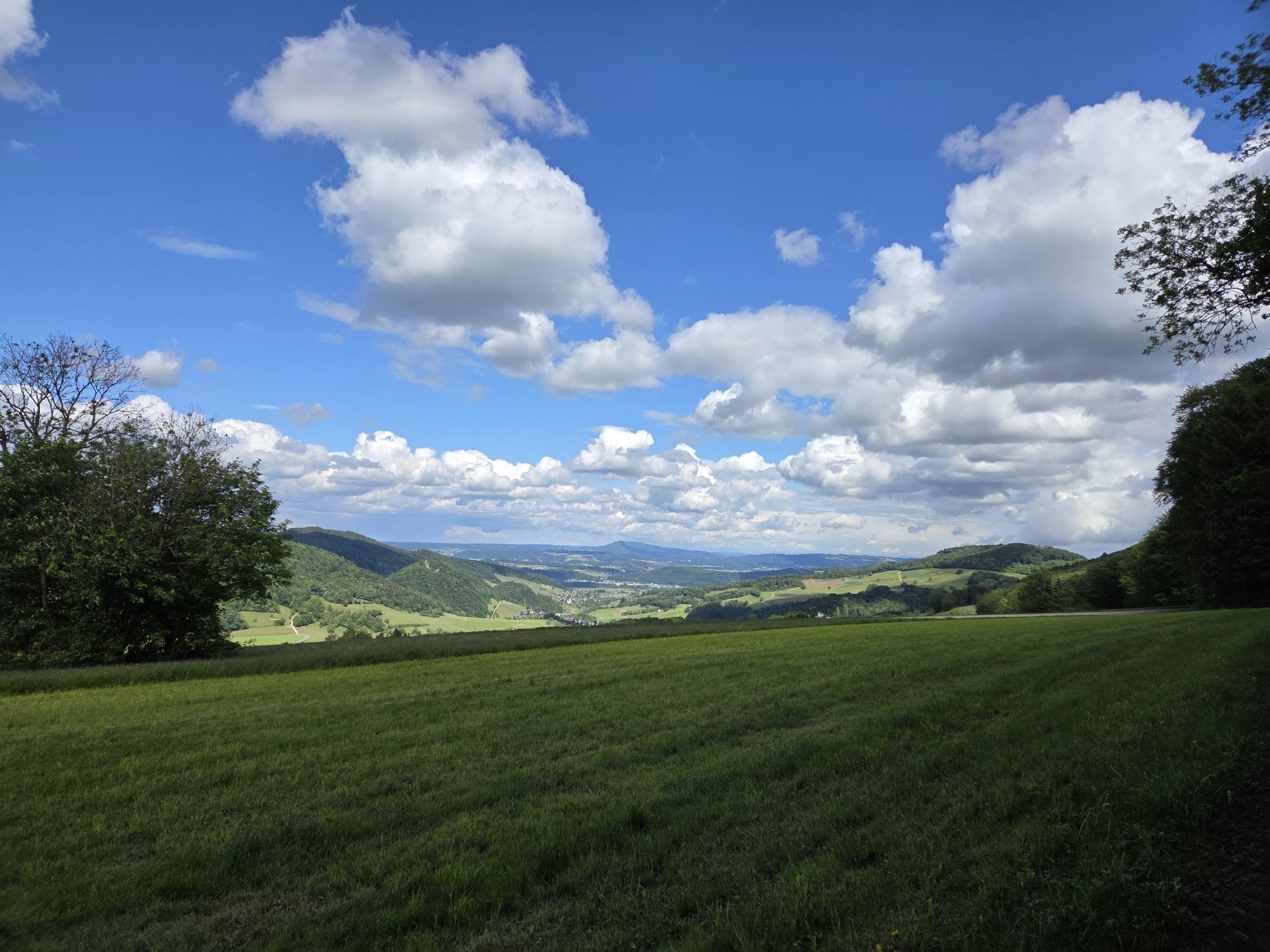
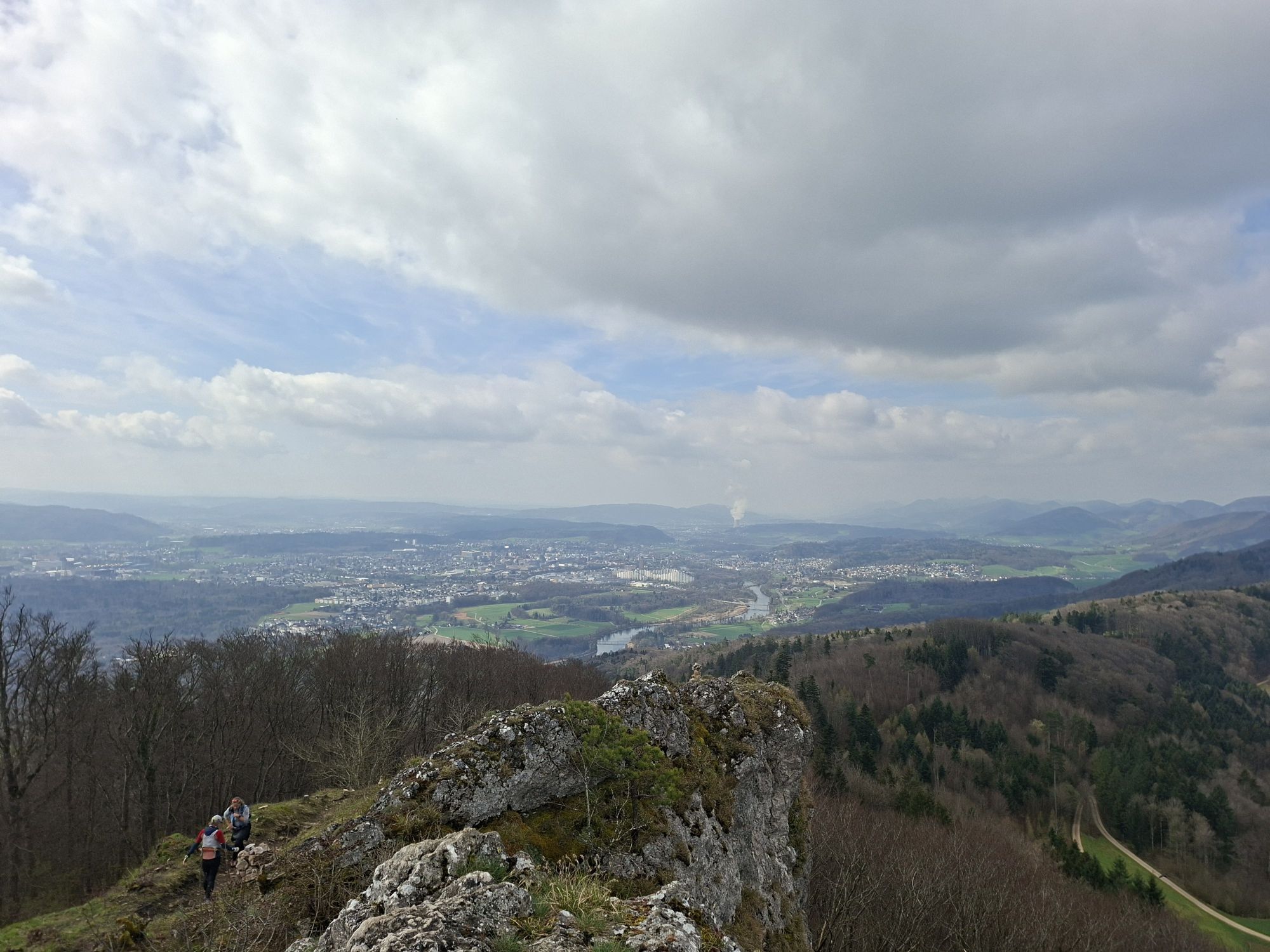
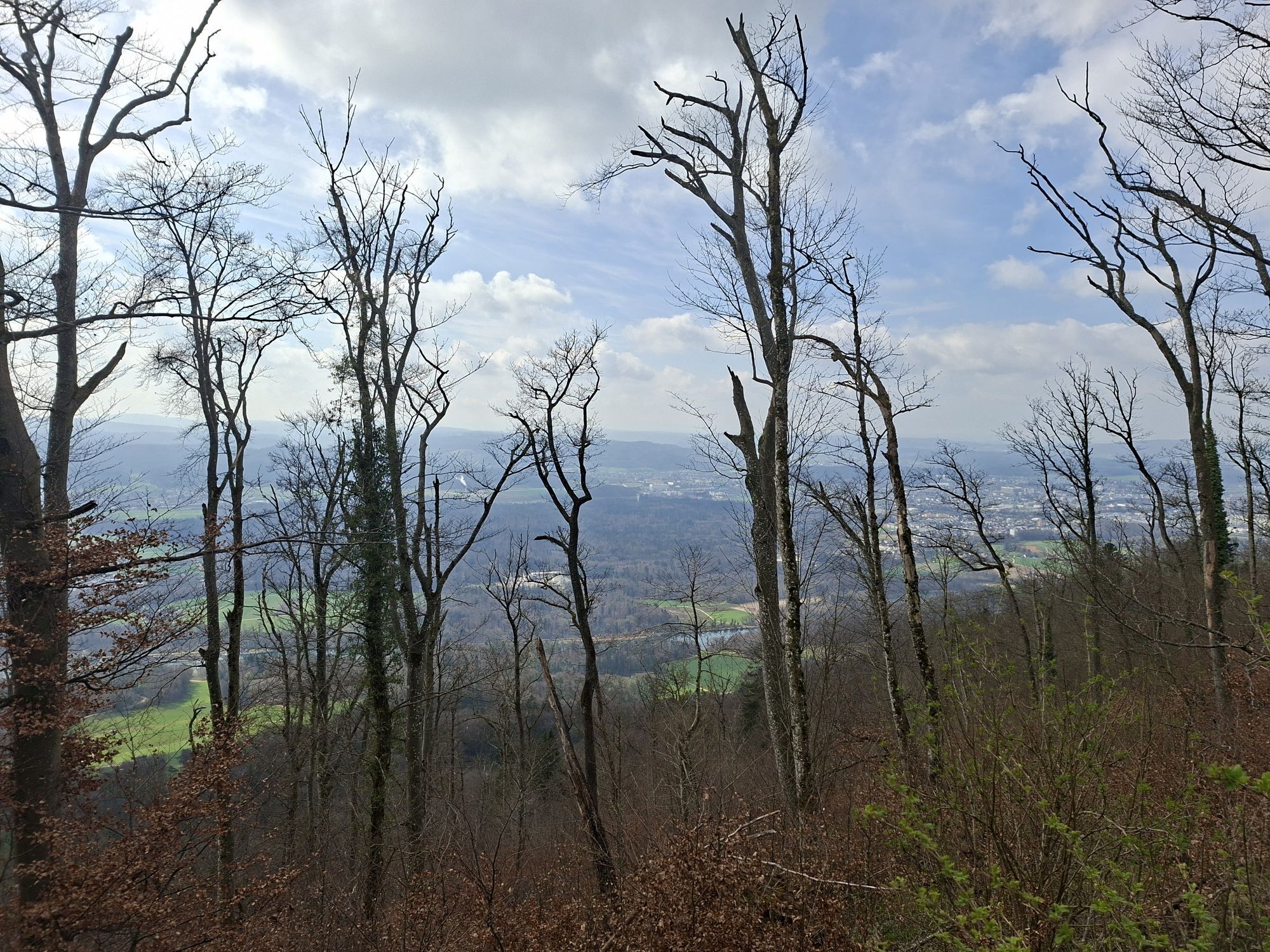
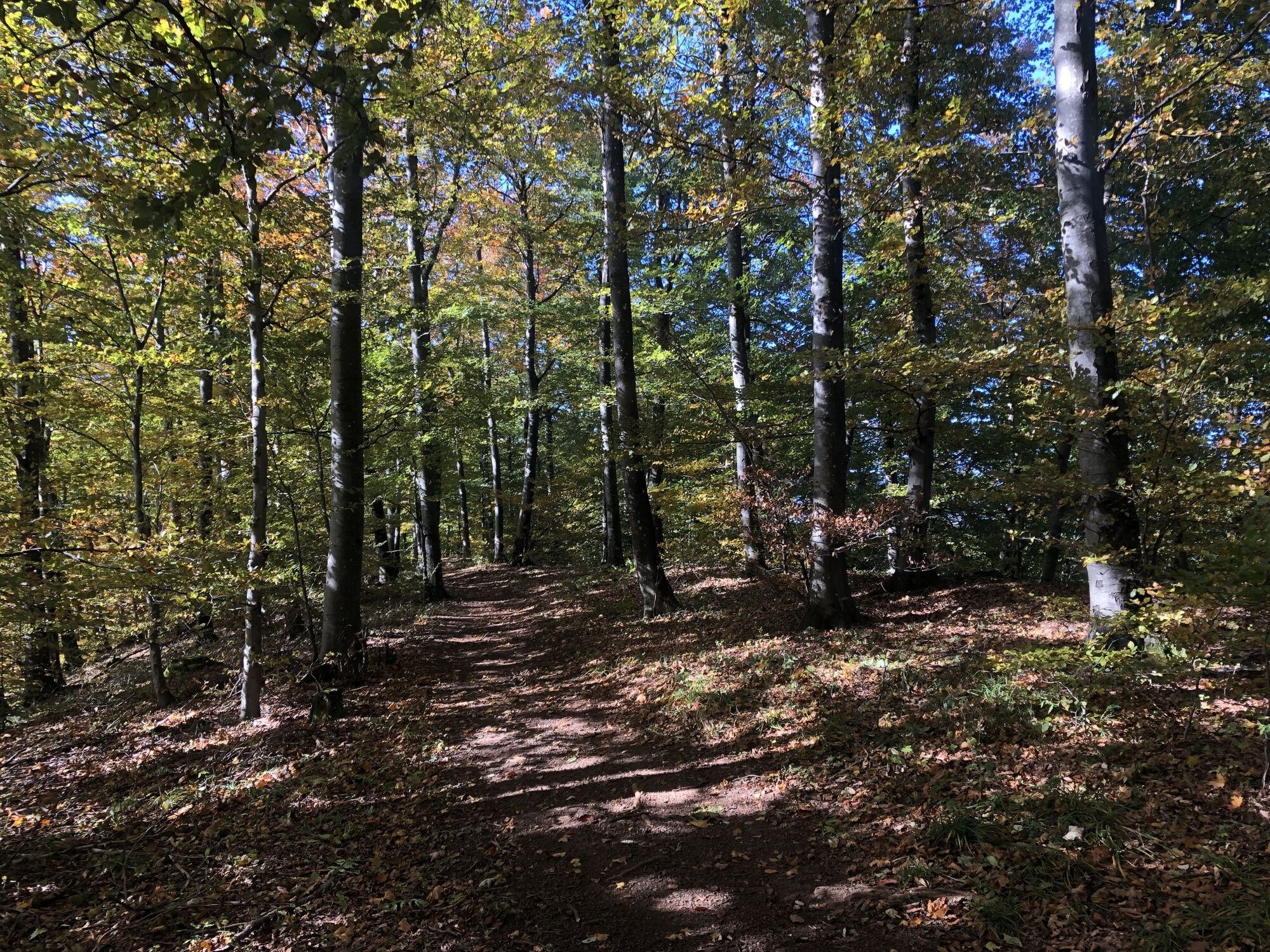
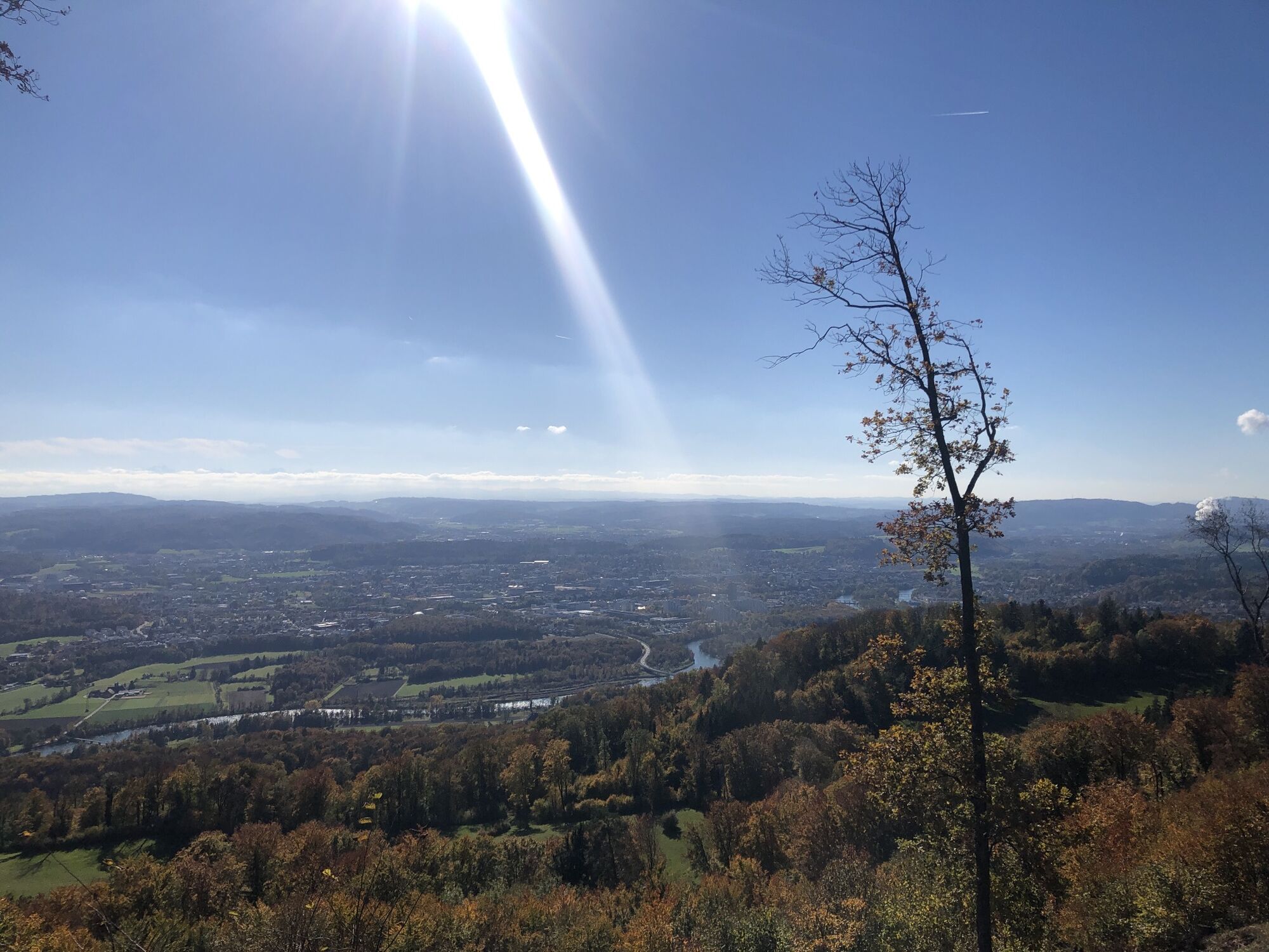
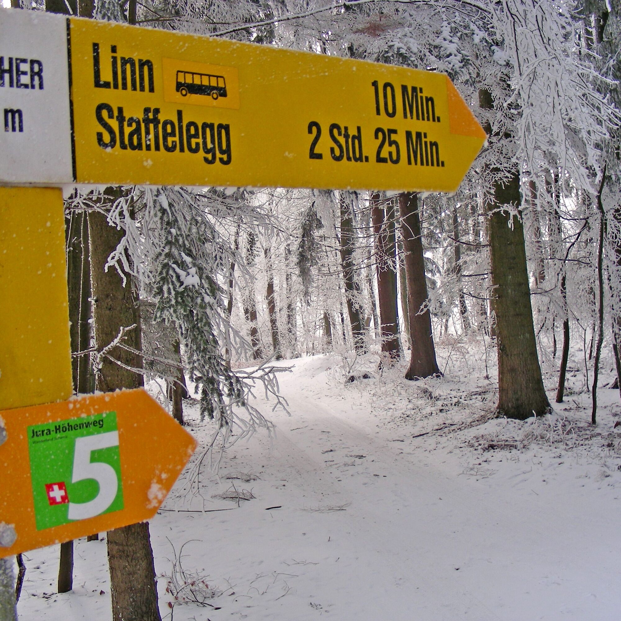
The starting point of the winter hiking trail is the Staffelegg Passhöhe post bus stop. A short section along the cleared cantonal road leads to the Staffelegg parking lot, the highest point of the connection...
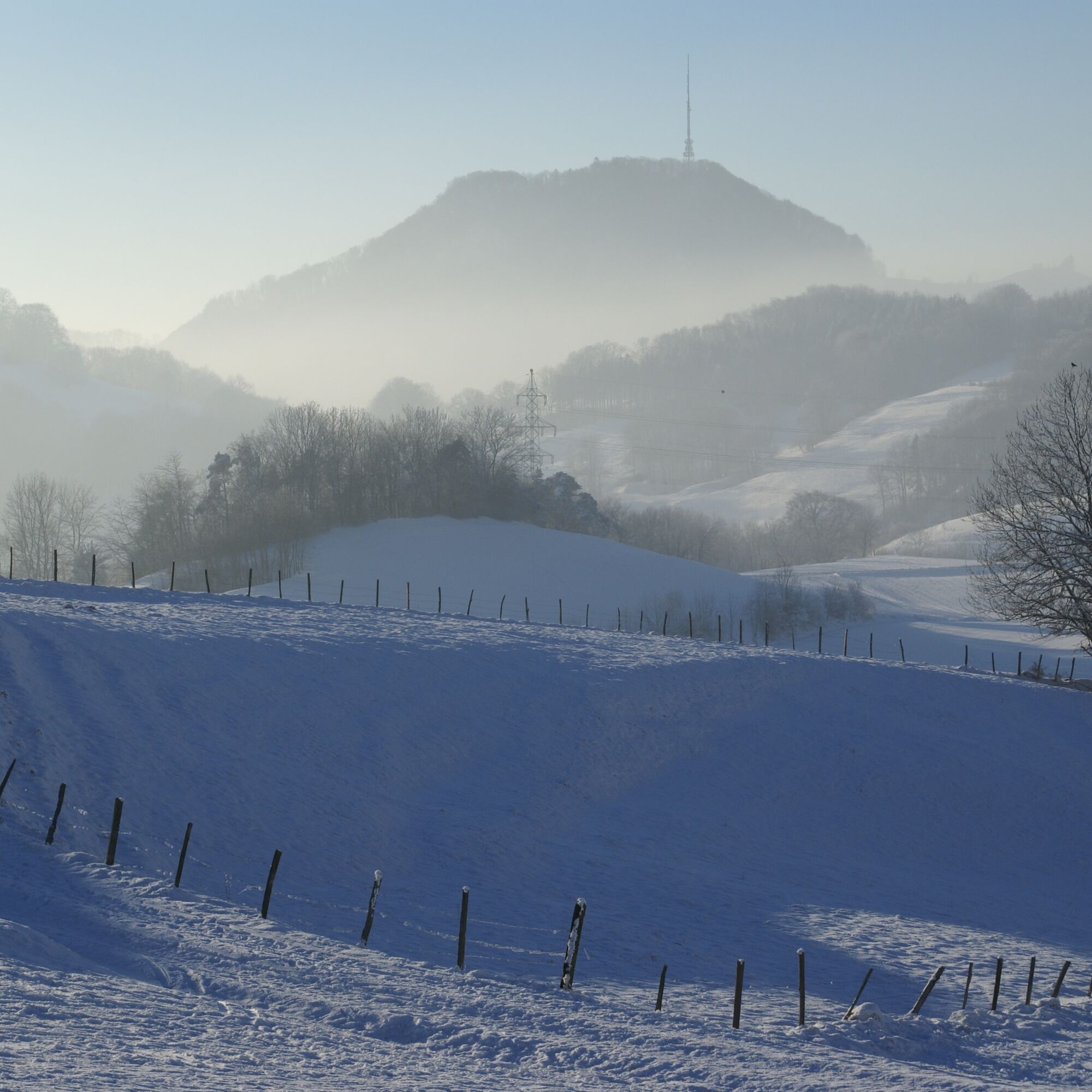
The path leads up over the Hombergegg to the ridge of the Homberg and continues along the ridge through a gate towards Gisliflue. In clear weather, there is an impressive panoramic view of the Alpine chain, the Jura heights, and the mountain ranges of the Black Forest.
The descent proceeds via the Gislimatt to the Gisliflue Nature Friends House, which is open on Sundays. The route then passes the Rischele farm back to the Staffelegg parking lot and the post bus stop.


 Uzyskaj wgląd
Zawsze na żywo z ponad 9 500 kamer internetowych. bergfex Jako użytkownik Pro, możesz teraz zobaczyć odpowiednie kamery internetowe dla wielu wycieczek w aplikacji wycieczki od. Pozwala to na bezpośredni podgląd aktualnych warunków.
Uzyskaj wgląd
Zawsze na żywo z ponad 9 500 kamer internetowych. bergfex Jako użytkownik Pro, możesz teraz zobaczyć odpowiednie kamery internetowe dla wielu wycieczek w aplikacji wycieczki od. Pozwala to na bezpośredni podgląd aktualnych warunków.

Popularne wycieczki w okolicy
-
4,7
Gisliflue & Gratwanderung, Schweiz
średniWędrówka 8,59 km -
4,8
Hüslischnegg am Asperstrihen
średniWędrówka 5,05 km -
Linner Wasserfall
światłoWędrówka 4,67 km -
4,1
Linn - Effingen - Bruderhöhle - Gallenkirch
średniWędrówka 7,88 km -
2,0
Staffelegg - Ruine Schenkenberg - Thalheim
światłoWędrówka 6,96 km -
5,0
Schinznach Bad - Brugg, Schweiz
światłoWędrówka 10,5 km -
3,0
Rundwanderung Seengen, Aargau
światłoWędrówka 15 km -
Nord-Süd-Route im Suhrental
średniJazda na rowerze 30,7 km -
5,0
Staffelegg-Hauenstein, Schweiz
średniWędrówka 21,3 km -
Schloss Lenzburg und Fünfweiher
średniWędrówka 14,5 km
Wędrówki i tropienie


Nie przegap ofert i inspiracji na następne wakacje
Twój adres e-mail została dodana do listy mailingowej.





