


Quer durch das Limmattal: Lugibach-Runde
At around 8.5 km, the Lugibach loop is the longest of the four loops between the Sulperg and Rüsler ridges in the lower Limmat valley. It spans the area between the right bank of the Limmat and the Sulperg...
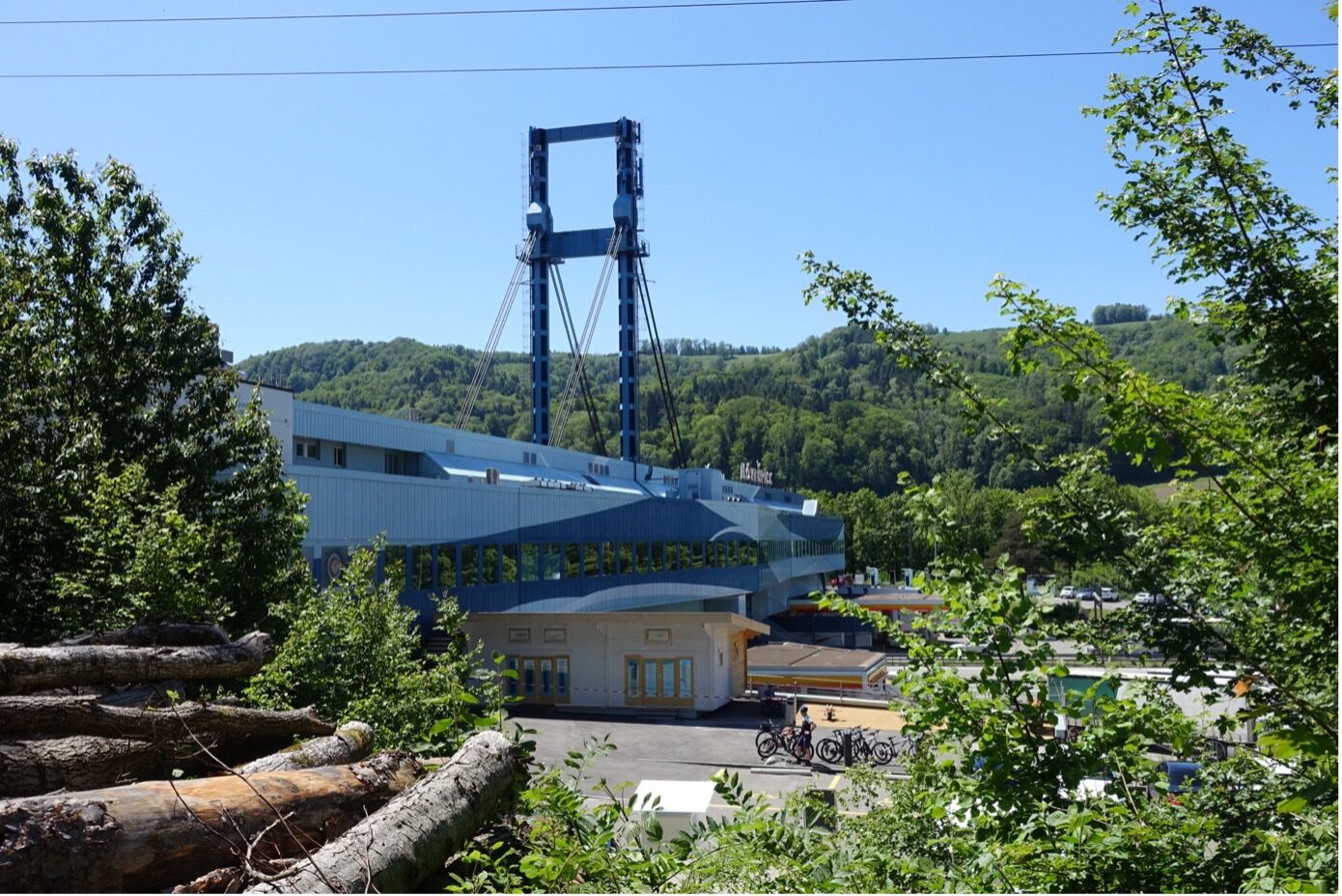
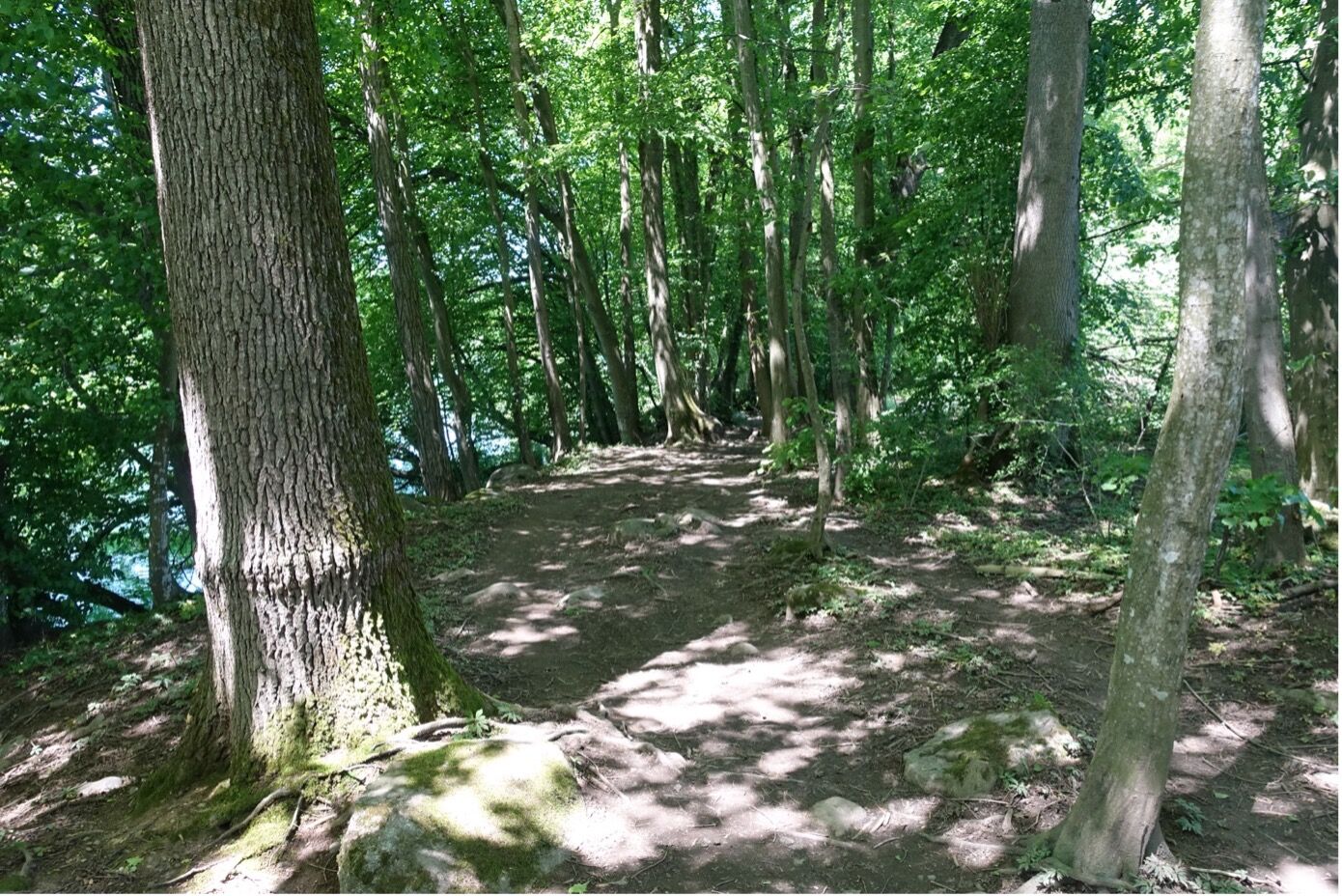
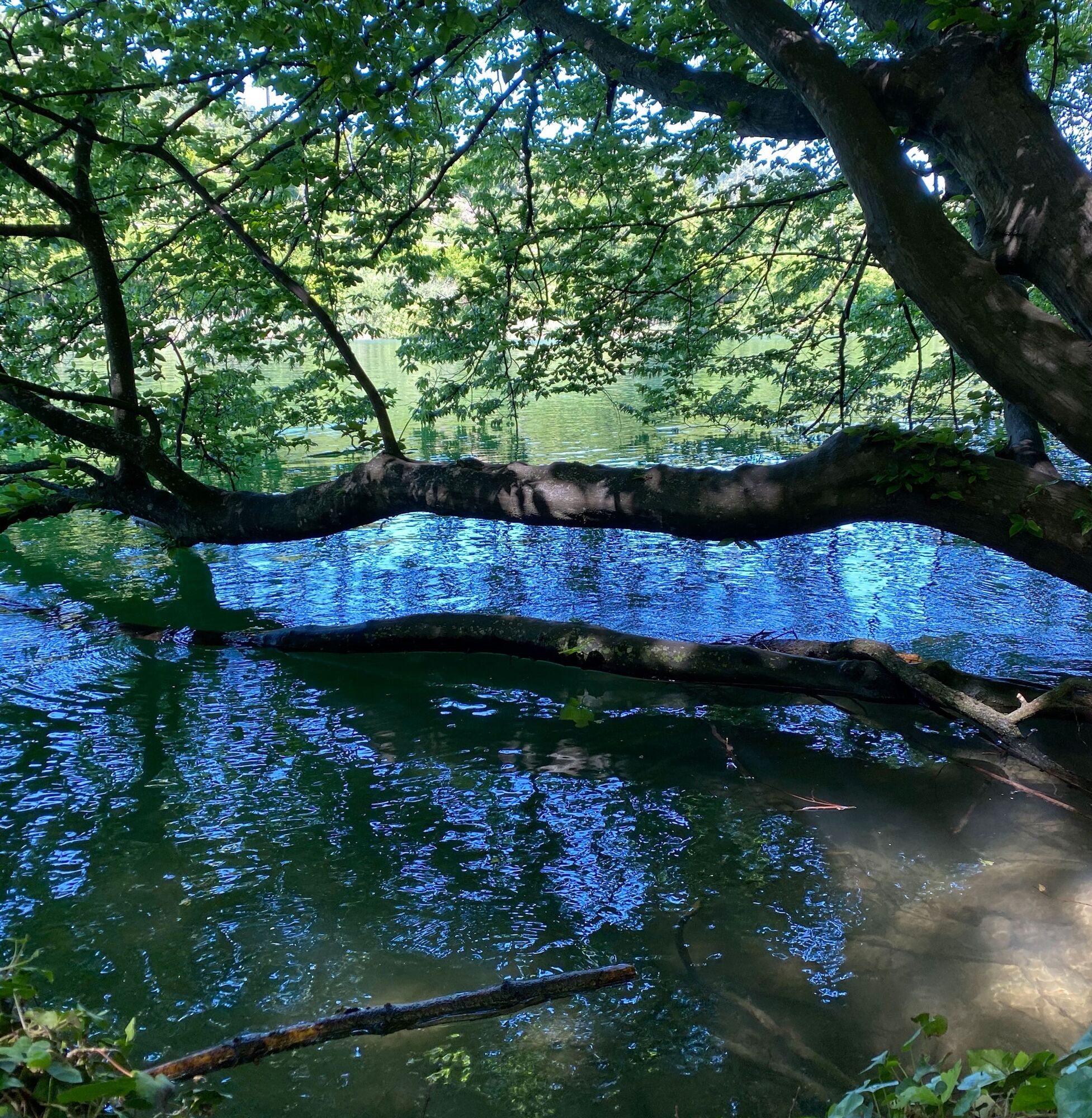
At around 8.5 km, the Lugibach loop is the longest of the four loops between the Sulperg and Rüsler ridges in the lower Limmat valley. It spans the area between the right bank of the Limmat and the Sulperg between Würenlos and Wettingen. Accordingly, there is much to discover on this route. The theme of landscape change on the Central Plateau can be experienced in exemplary fashion on this tour. Intensively and extensively used agricultural areas, open gravel pits and scattered settlements alternate with industrial areas and numerous traffic routes. Accordingly, the most diverse needs collide. These include the renaturation of culverted streams as well as the construction of a foot and cycle path bridge over the Limmat. Other special features that can be discovered on the Lugibach loop are relics of the former cultural landscape, more precisely the remains of historic moats, or the valley view into the Limmat valley and the Furttal valley.
The "Sulperg-Rüsler corridor" project aims to preserve and promote these open spaces. Agricultural use is an essential component, but the importance for leisure and recreation is constantly increasing. An adventure trail with marked stations and information steles leading through the corridor will be completed in 2022. The project is part of Regionale 2025.

Note: The route along the Lugibach is still being planned. The adventure stations along the path are being implemented. The footbridge over the Limmat is being planned and should be built by 2025.
Daypack with snacks and lunch. Sturdy footwear.
A1 exit Neuenhof: In the direction of Wettingen, follow the Kloster junction.
A1 exit Baden Ost: In the direction of Baden, follow the junction for Wettingen and Ennetbaden.
Train: Würenlos train station
Bus: From Baden station take bus no. 7 in the direction of Wettingen Tägi
Parking spaces at Wettingen railroad station and Würenlos railroad station
Parking spaces at the Tägi sports center, Wettingen.
The Sulperg-Rüsler landscape corridor can also be explored online. Click here for the virtual discovery tour of the landscape corridor with outstanding 360° panoramic images and further information on 11 selected adventure sites.
The Sulperg-Rüsler landscape corridor stretches between Wettingen and Würenlos on the left bank of the Limmat and between Neuenhof and Killwangen on the other bank. The corridor is of great importance in the Limmat Valley. It breaks up the dense settlement area of the valley, secures the stock of (contiguous) green spaces and guarantees the "aeration" of the valley.
Popularne wycieczki w okolicy
-
5,0
Lägern ridge hike
średniWędrówka 12,0 km -
3,8
Chänzeli -Tour: Eine Panorama - Stadtwanderung
światłoWędrówka 7,81 km -
3,8
Rundwanderung Katzensee
światłoWędrówka 3,93 km -
4,5
Lägern Rundwanderung
średniWędrówka 13,0 km -
4,0
Gratwanderung über die Lägern
ciężkiWędrówka 14,8 km -
4,0
Waldlehrpfad Emauswald
światłoTrasa tematyczna 3,91 km -
5,0
Schinznach Bad - Brugg, Schweiz
światłoWędrówka 10,5 km -
Habsburg Route 5th stage: Mellingen - Bremgarten
średniWędrówka 14,2 km -
5,0
Bad Zurzach - Hörndli - Rekingen - Bad Zurzach
średniWędrówka 9 km -
5,0
Limmat Cultural Route
światłoTrasa tematyczna 8,77 km

Wędrówki i tropienie


Nie przegap ofert i inspiracji na następne wakacje
Twój adres e-mail została dodana do listy mailingowej.