



Glatten (2504 m.ü.M.)

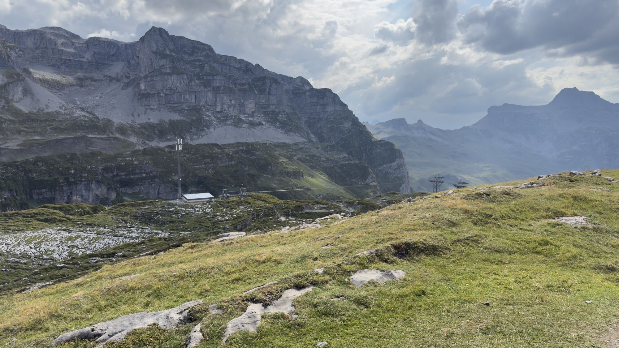
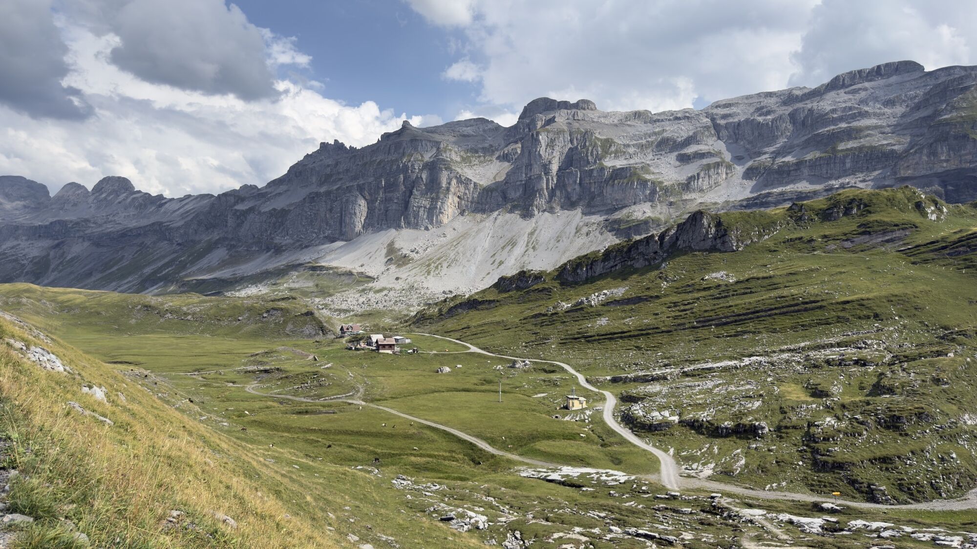
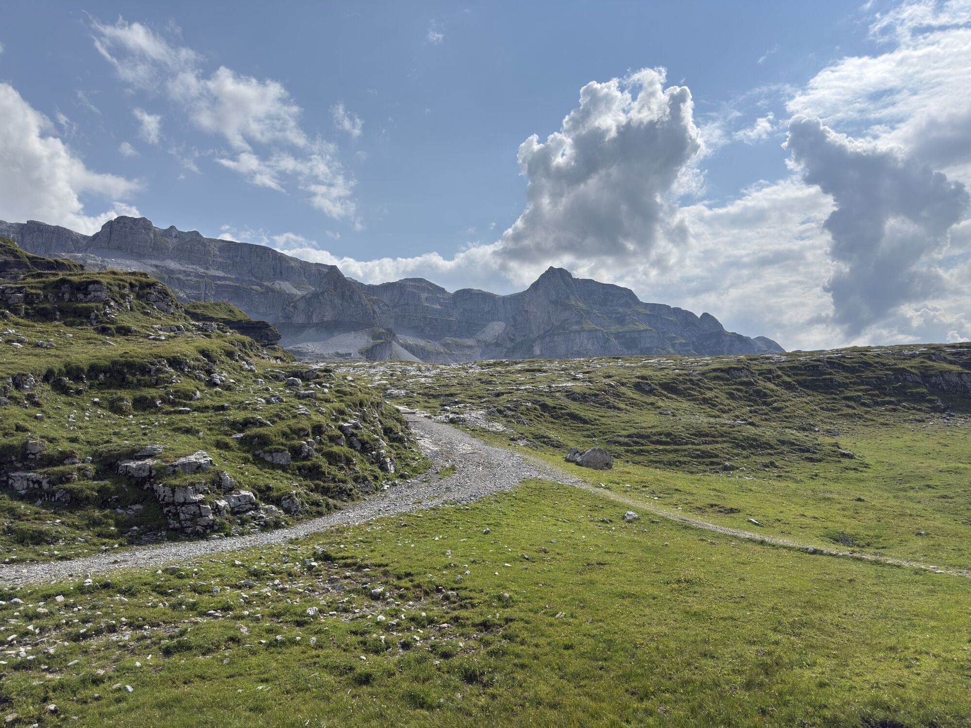
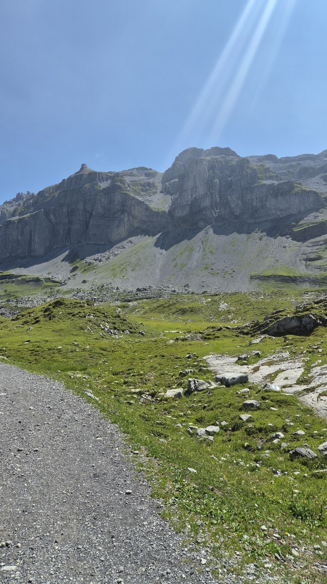
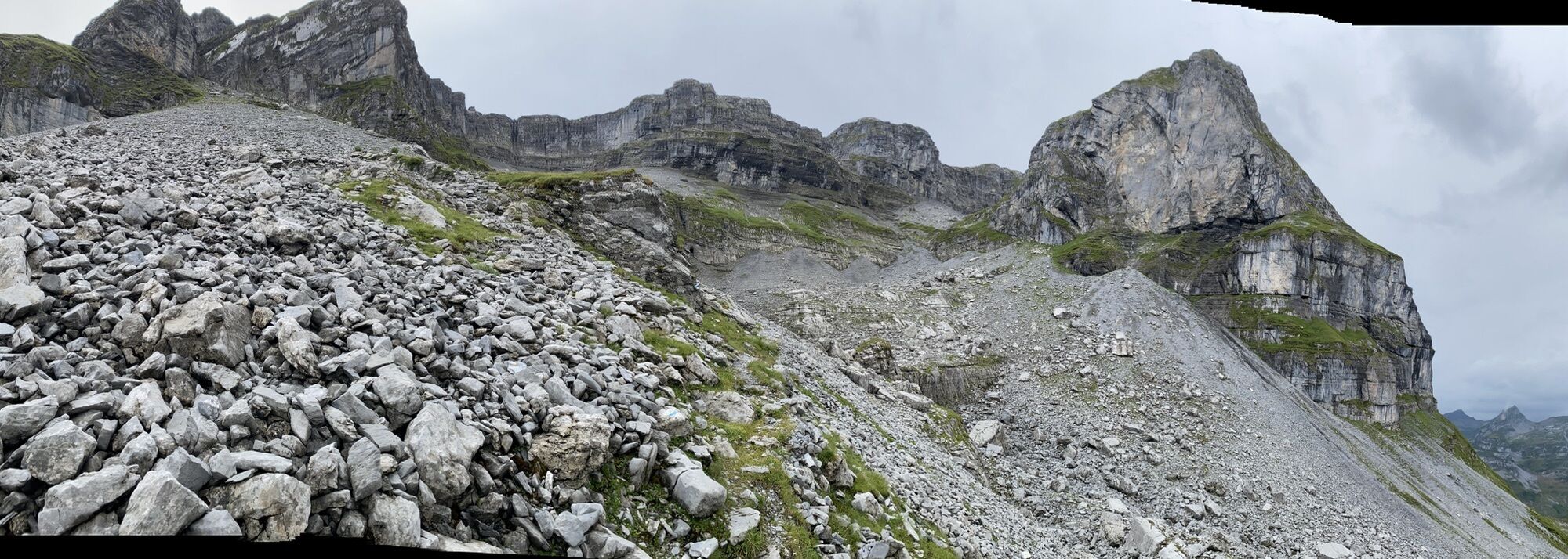
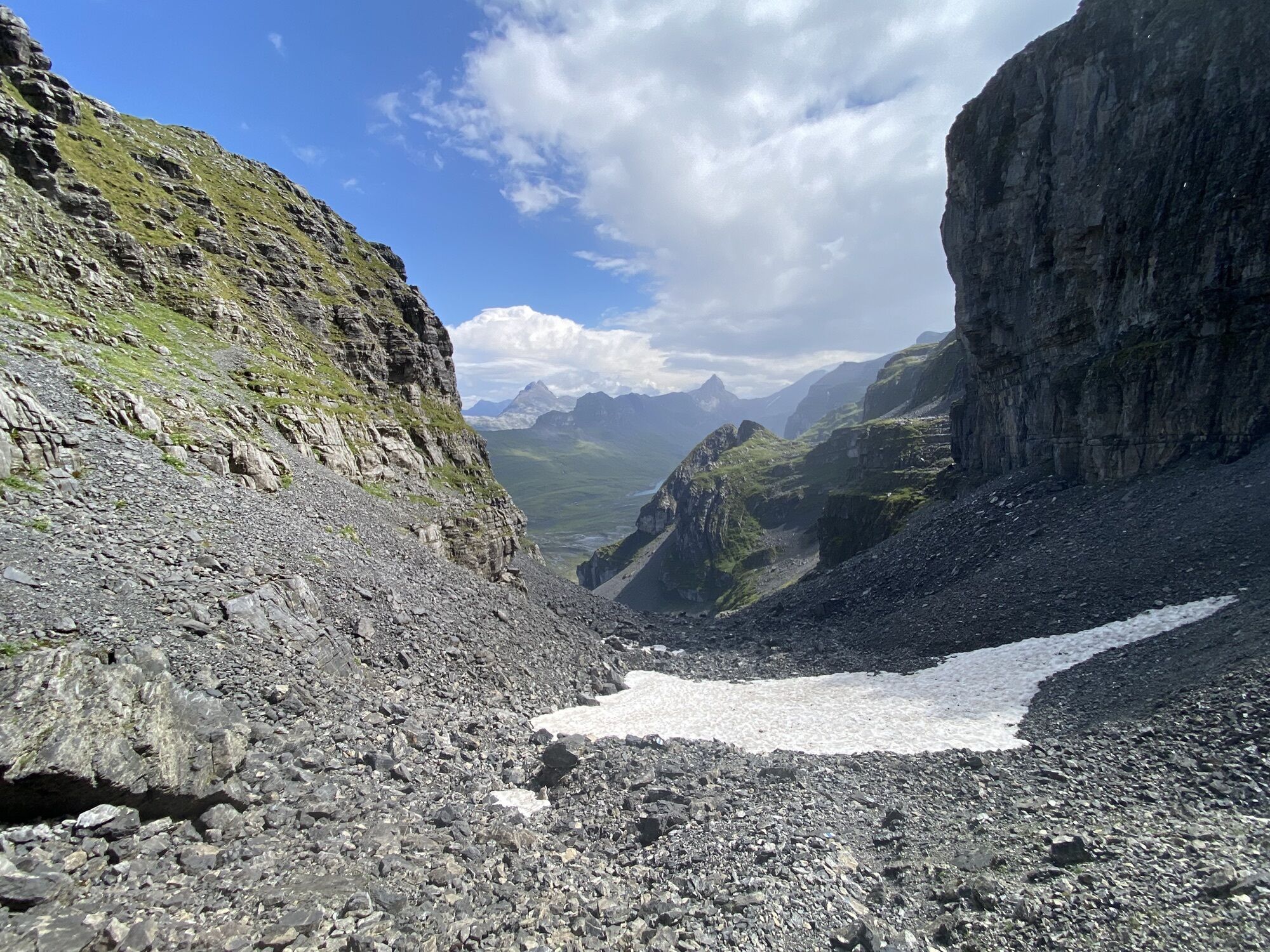
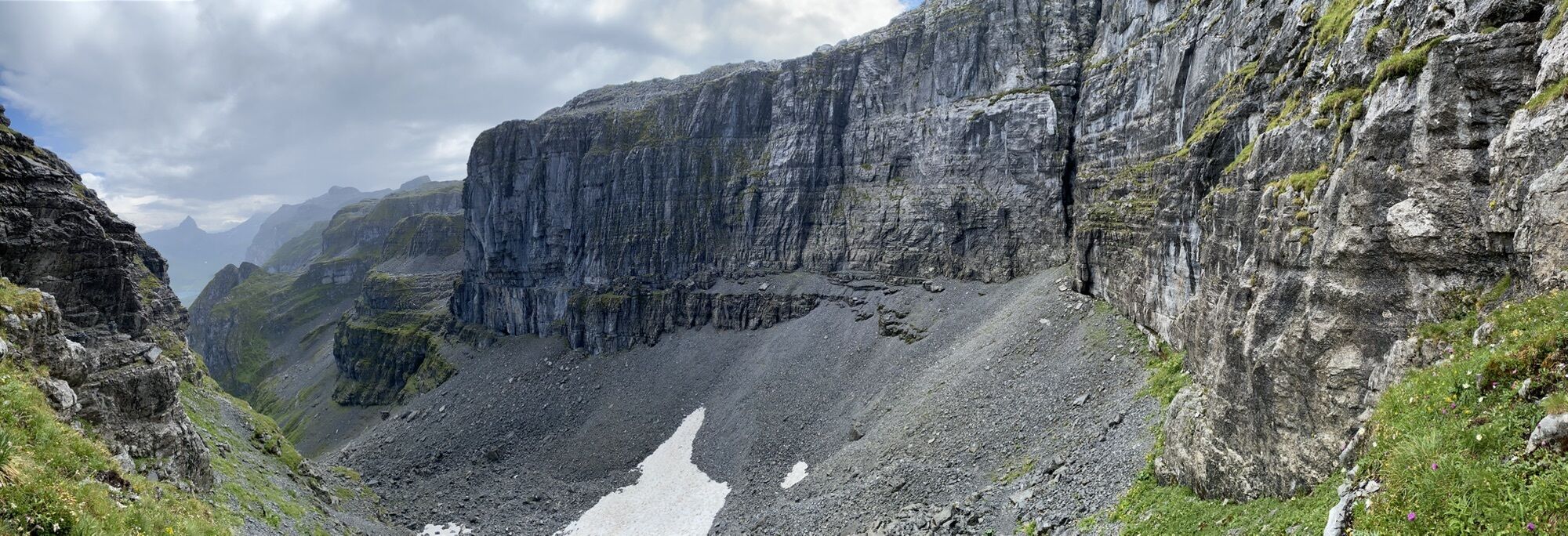
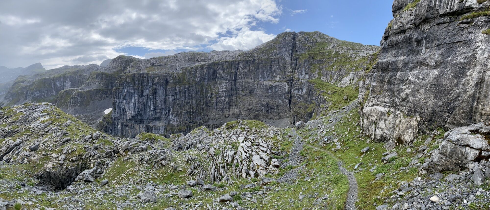
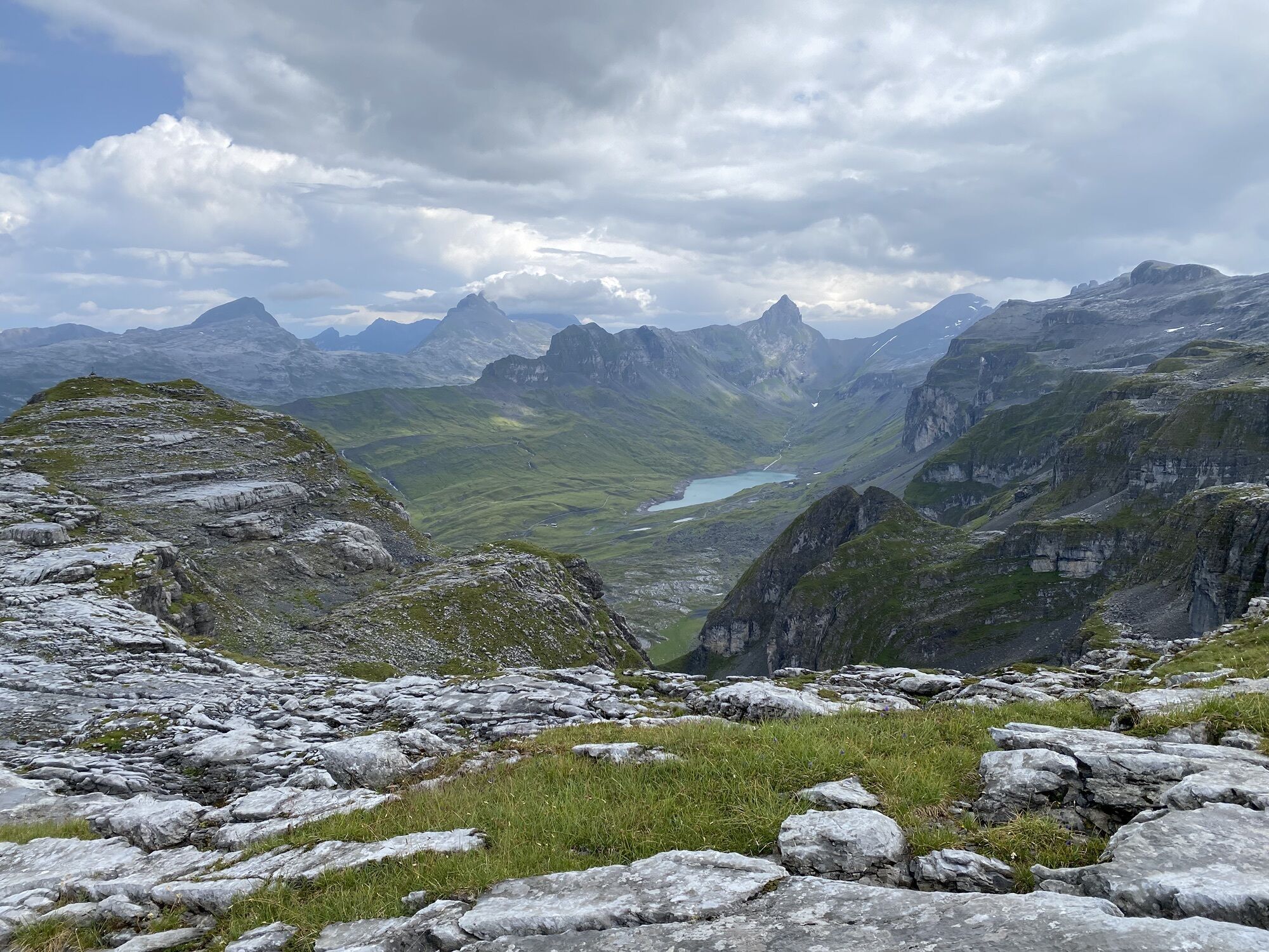
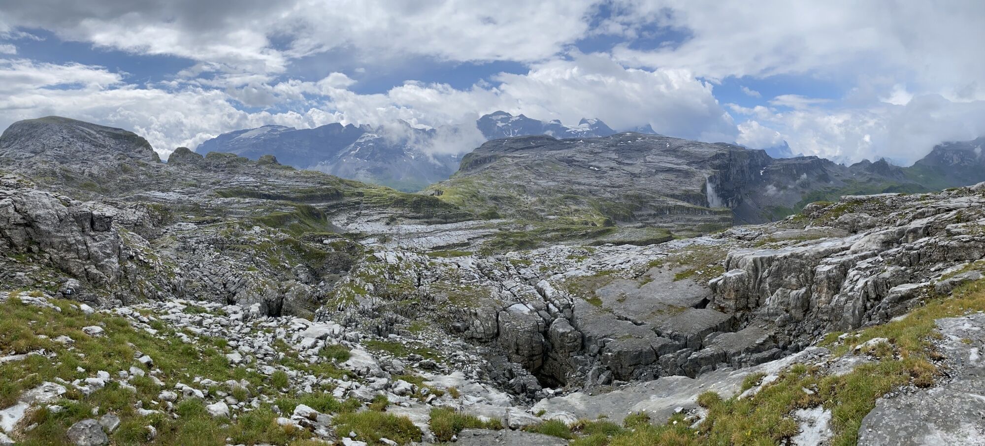
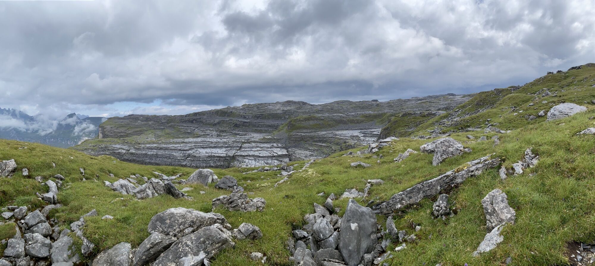
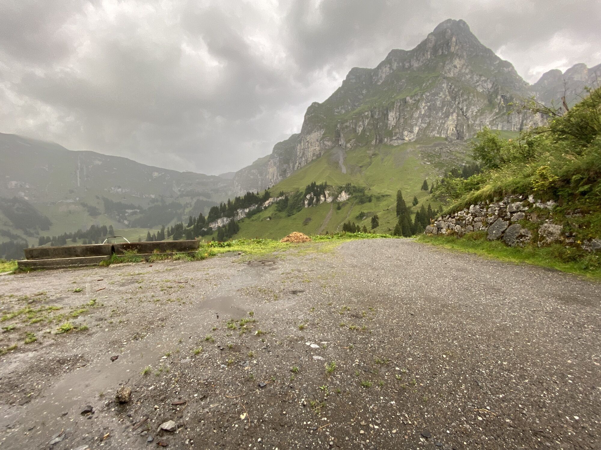
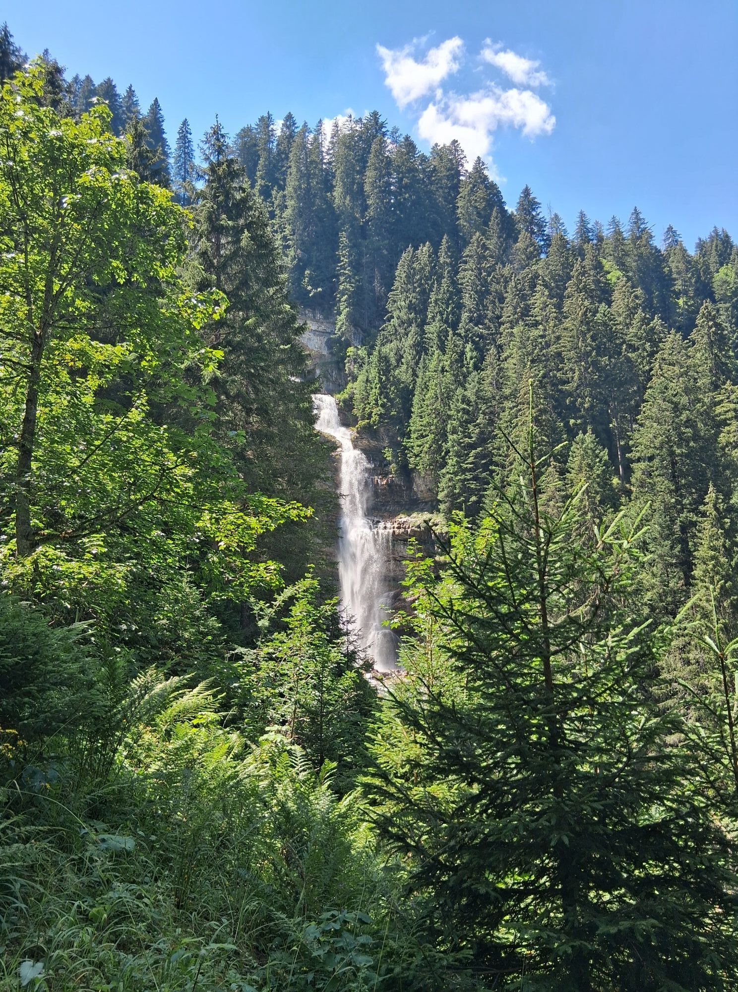
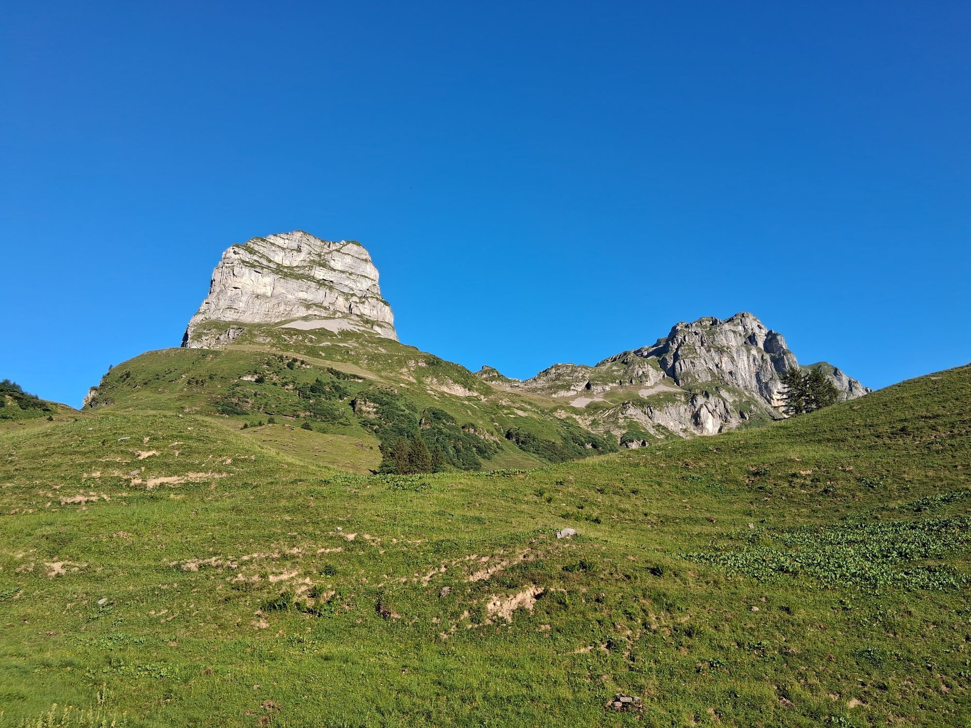
Der Glatten ist aufgrund seiner schönen Nordhängen ein sehr beliebtes Tourenziel. Auch die Rundsicht in die Urner, Glarner und Schwyzer Alpen ist lohnenswert.
Zustieg / Abfahrt
A) Normalroute ab Sali. Schwierigkeit...
Der Glatten ist aufgrund seiner schönen Nordhängen ein sehr beliebtes Tourenziel. Auch die Rundsicht in die Urner, Glarner und Schwyzer Alpen ist lohnenswert.
Zustieg / Abfahrt
A) Normalroute ab Sali. Schwierigkeit WS
- Aufstieg / Abfahrt: 1349m | Gegenanstieg auf Abfahrt: 0m
- Starthöhe: 1155 m.ü.M. | Zielhöhe: 2504 m.ü.M.
- Zeitbedarf Aufstieg: 4¼ h | Distanz: 6 km
- Orte an der Route: Gross Gade - Eggen (Unterschächen - UR) - Wächters Butzen
Zustieg / Abfahrt
B) ab Glattalphütte. Schwierigkeit ZS
- Aufstieg / Abfahrt: 753m | Gegenanstieg auf Abfahrt: 143m
- Starthöhe: 1894 m.ü.M. | Zielhöhe: 2504 m.ü.M.
- Zeitbedarf Aufstieg: 3¼ h | Distanz: 5.5 km

Kamery internetowe z trasy

Popularne wycieczki w okolicy
-
5,0
Kalktrittli - Nüschentäli - Muttsee - Obersee - Muttenchopf - Mörtel - Limmerensee - Kalktrittli (durch Stollen)
średniWędrówka 14,8 km -
3,7
Braunwald
średniVia ferrata 11,4 km -
4,5
Bergwirtschaft Sali-Alp - Glattalphütte - Berggasthaus Glattalp - Sahli (Luftseilbahn Glattalp)
średniWędrówka 13,4 km -
4,7
Chämistube - Grotzenbühl - Berggasthaus Gumen - Ortstockhaus
światłoWędrówka 9,25 km -
5,0
Chaiserstock Wanderung, einmaliges Panorama
średniWędrówka 8,67 km -
3,7
Gipfelhüpfen auf der Lidernkette
ciężkiWędrówka 17,2 km -
5,0
Wasserbergfirst
średniWędrówka 13,4 km -
3,0
Wanderung Hoch Ybrig
średniWędrówka 10,6 km -
4,7
The Puntegliashütte at the foot of the Tödi massif
ciężkiWędrówka 13,5 km -
5,0
Lag Serein: A large circular hike from S. Benedetg
średniWędrówka 13,4 km
Wędrówki i tropienie


Nie przegap ofert i inspiracji na następne wakacje
Twój adres e-mail została dodana do listy mailingowej.


