






Snowshoe Tour Fruttli Trail
Zdjęcia naszych użytkowników
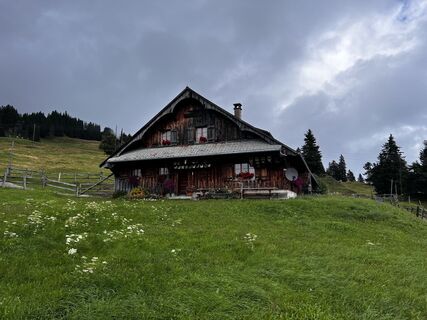
 © Matthias KestinUtworzono dnia 30.07.2023
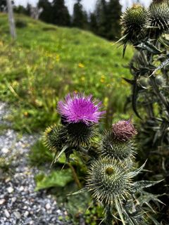 © Matthias KestinUtworzono dnia 30.07.2023
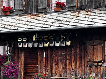 © Matthias KestinUtworzono dnia 30.07.2023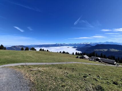
 © Maurer SilviaUtworzono dnia 08.10.2025
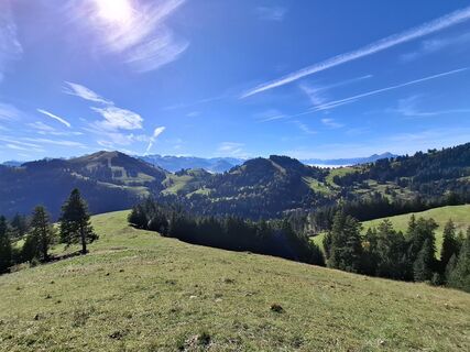 © Maurer SilviaUtworzono dnia 08.10.2025
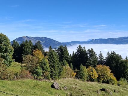 © Maurer SilviaUtworzono dnia 08.10.2025
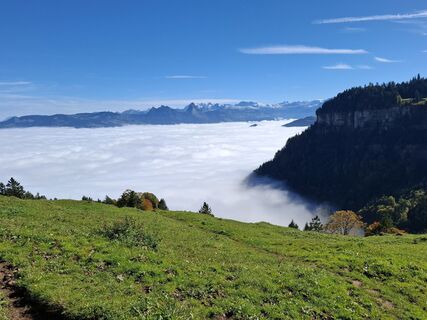 © Maurer SilviaUtworzono dnia 08.10.2025
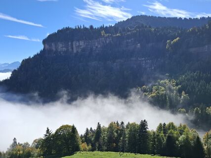 © Maurer SilviaUtworzono dnia 08.10.2025
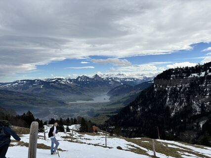 © Foivos SarantinopoulosUtworzono dnia 08.02.2025

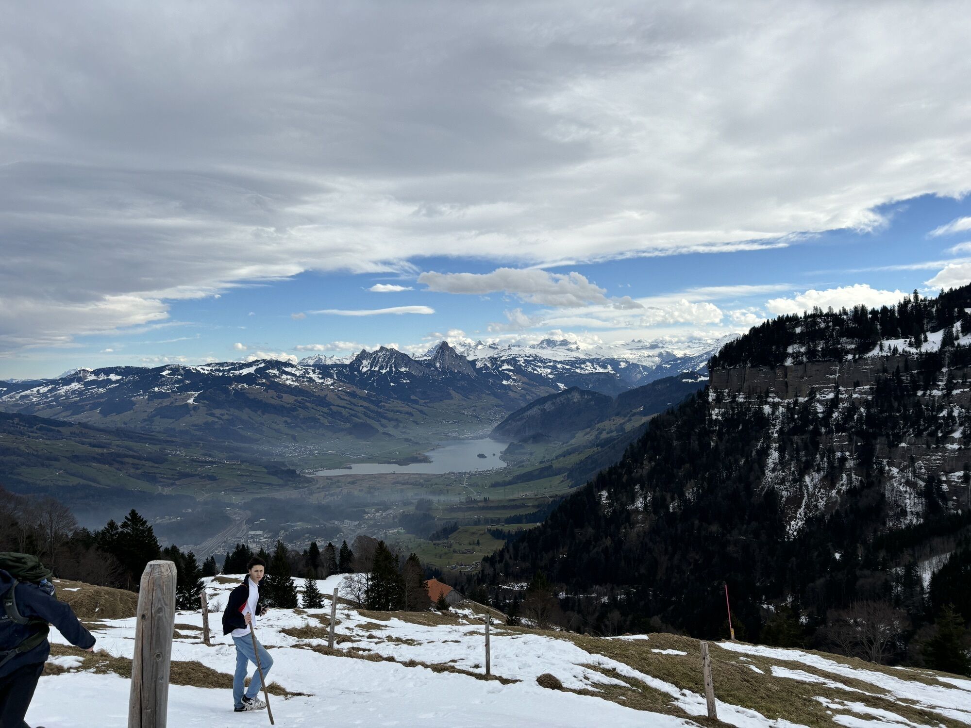
Central Switzerland: scenic snowshoe hike
Further information can be found at the winter hiking trail Schwändiweg.
For your information
In order to let our next generation also could enjoy the beauty of the...
Central Switzerland: scenic snowshoe hike
Further information can be found at the winter hiking trail Schwändiweg.
For your information
In order to let our next generation also could enjoy the beauty of the Rigi, we would like to ask you to dispose of your own waste in the waste bins which are located at all of the stations of RIGI BAHNEN AG. Thank you.

Rigi Klösterli (1302 m) - Guggli (1394 m) - Obere Schwändi (1473 m)
Sturdy winter equipment: weather-adjusted winter outdoor clothing, hiking boots with a good profile, gloves, food & drinks.
Please always stay on the marked trails.
Goldau: A4 exit Goldau, follow the signs to the open air parking lot A4 of RIGI BAHNEN AG
Good accessible by train and bus
Rigi Klösterli, the starting point of this hike, can be easily reached via Goldau with the cog railway.
There are plenty parking spaces avaliable at A4 parking lot station of RIGI BAHNEN AG. Fees apply.
However, we recommend public transport instead of cars: lean back, be stress-free and do something good for the environment.
To recharge my batteries, it is worth visiting the Maria zum Schnee chapel.
Uzyskaj wgląd Zawsze na żywo z ponad 9 500 kamer internetowych. bergfex Jako użytkownik Pro, możesz teraz zobaczyć odpowiednie kamery internetowe dla wielu wycieczek w aplikacji wycieczki od. Pozwala to na bezpośredni podgląd aktualnych warunków. Popularne wycieczki w okolicy
- 4,8
Gratwanderung Klingenstock
światłoWędrówka 9,36 km - 4,4
Rundwanderung
światłoWycieczki górskie 12,9 km - 3,9
Rundweg Seebodenalp Küssnacht am Rigi, Schweiz
średniWędrówka 9,56 km - 4,2
Kleiner Mythen
średniWędrówka 6,31 km - 4,4
Seebodenalp Panoramaweg
światłoWędrówka 5,25 km - 3,9
Gnipen - ab Goldau - Rundwanderung
średniWędrówka 10,6 km - 5,0
Wanderung entlang der Mythen, Alp "Zwüschet-Mythen"
średniWędrówka 10,5 km - 4,8
Rigi Kulm von Vitznau aus
średniWędrówka 17,6 km - 4,7
Holzegg - Grosser Mythen - Restaurant Grosser Mythen - Alpwirtschaft Brunnialp
średniWędrówka 5,66 km - 4,8
Home-Rigi Kulm-Home
średniWędrówka 18,6 km

Wędrówki i tropienie


Nie przegap ofert i inspiracji na następne wakacje
Twój adres e-mail została dodana do listy mailingowej.





