



Snowshoe experience Biberegg - Mostelberg

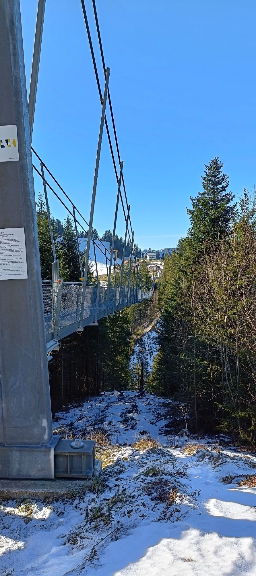
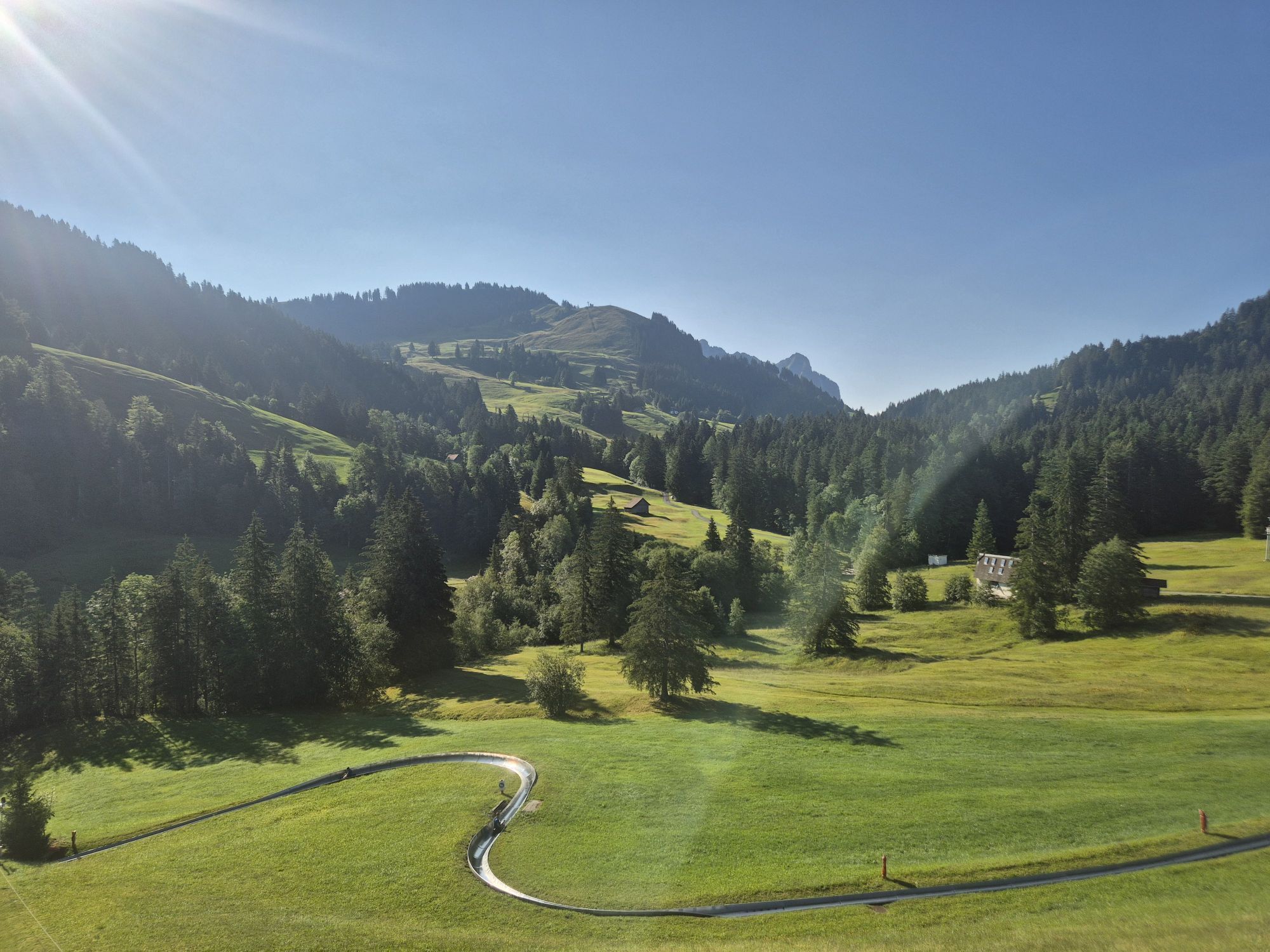
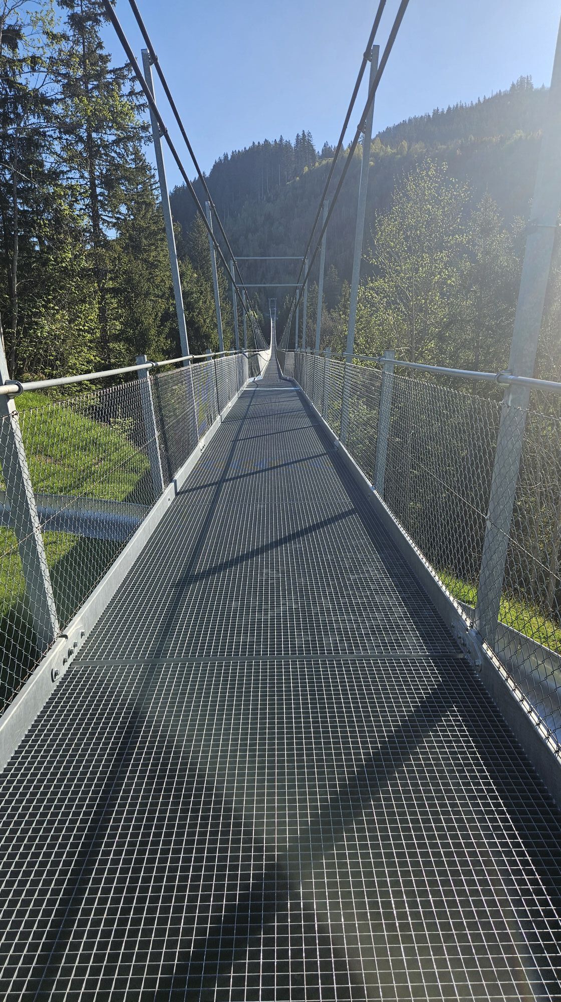
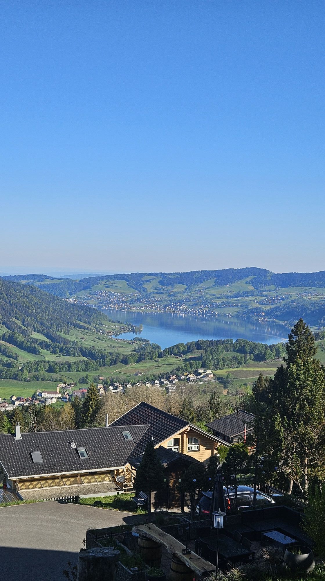
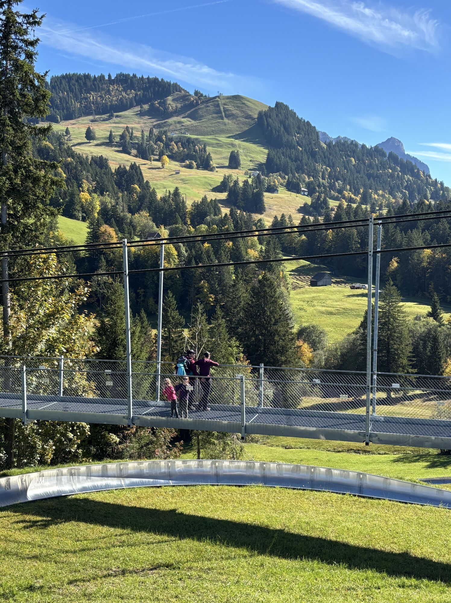
Start your snowshoe adventure at the Beaver Creek Ranch restaurant and put on your hired snowshoes. After Biberegg, you cross a picturesque bridge and cross the Steiner Aa river. Soon you are in a small...
Start your snowshoe adventure at the Beaver Creek Ranch restaurant and put on your hired snowshoes. After Biberegg, you cross a picturesque bridge and cross the Steiner Aa river. Soon you are in a small snow-covered fairytale forest. In between, you can enjoy the view over the breathtaking Rothenthurm high moor and later of the Aegeri valley and Lake Aegeri as well as the Rigi and Wildspitz mountains. Shortly before the mountain station, you cross the 374-metre-long "Skywalk" suspension bridge, which leads over the Lauitobel at a height of 58 metres. You then take the world's first revolving gondola lift to the Sattel-Hochstuckli valley station and from there take the bus back to Biberegg.
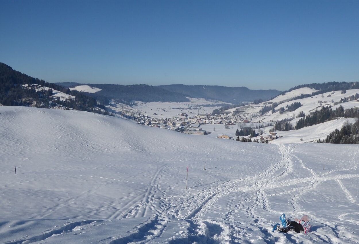
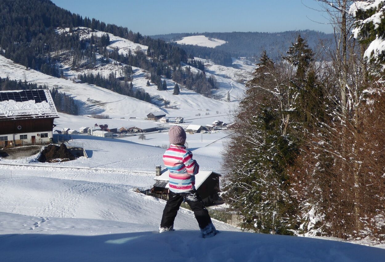
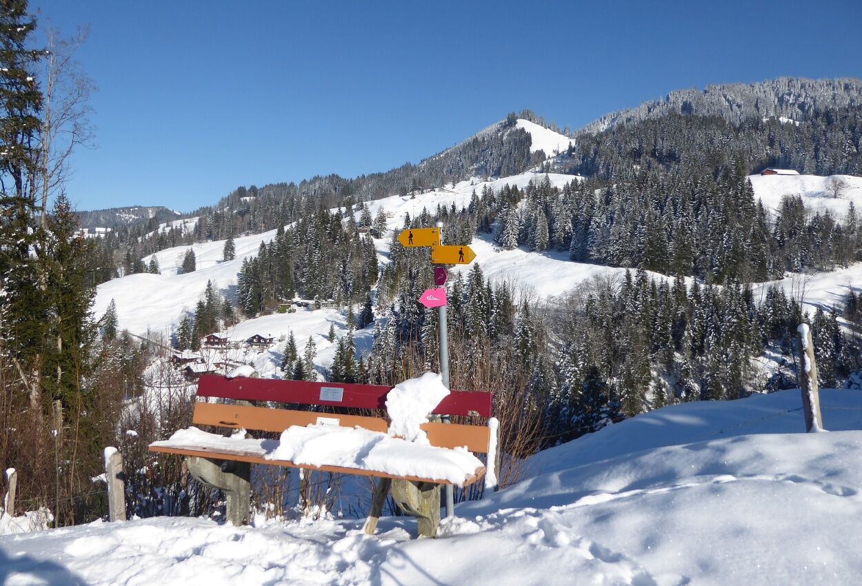
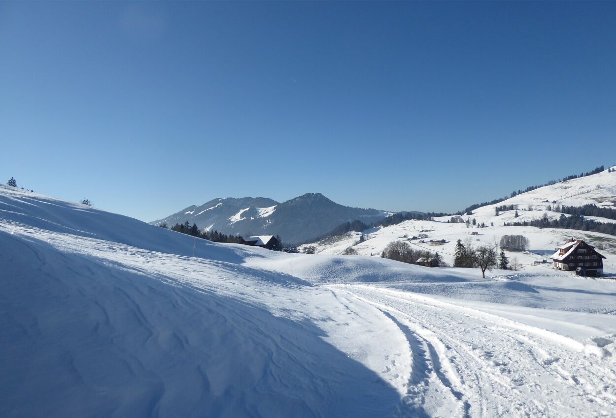
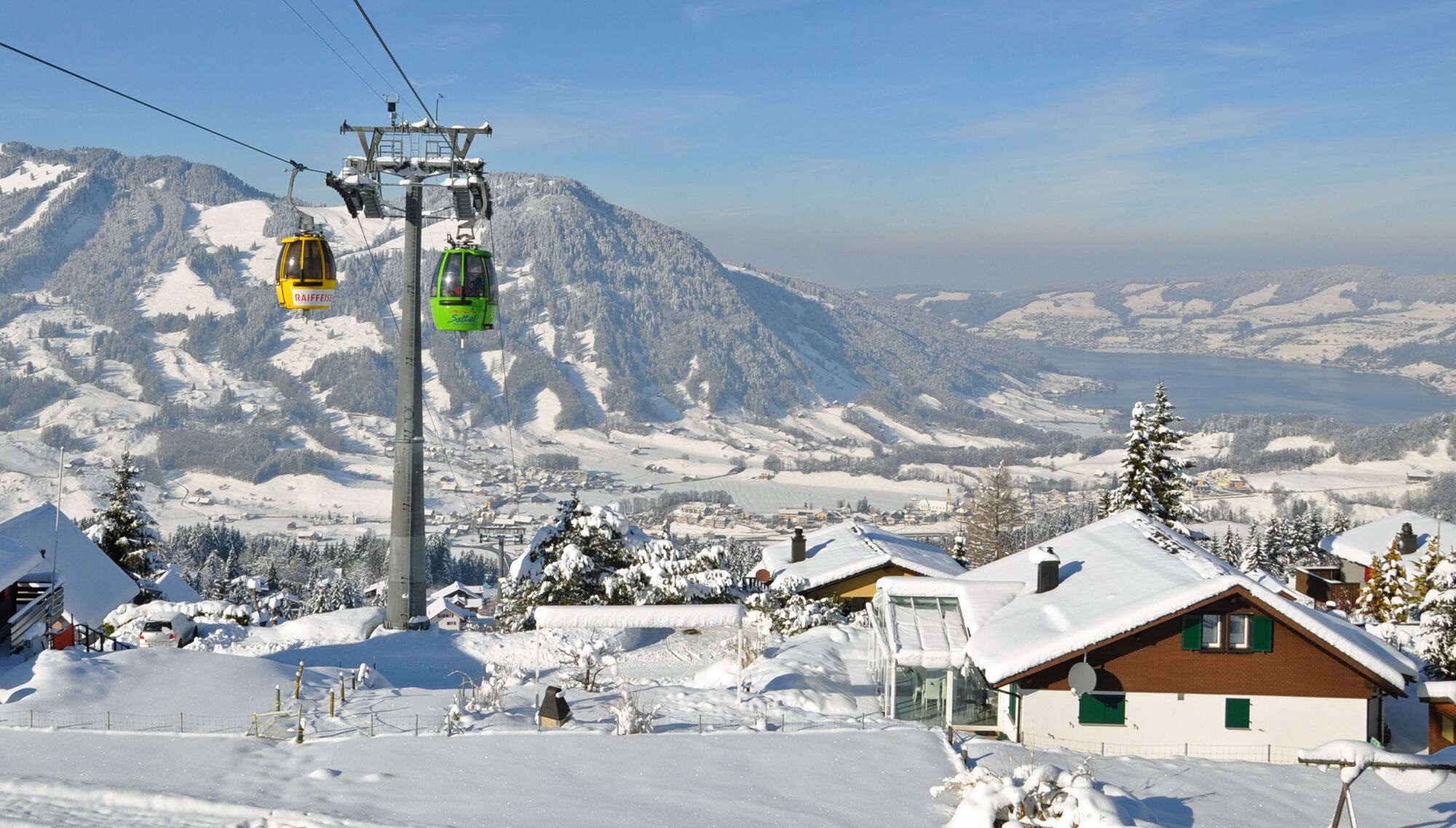

Biberegg 942 M.ü.M - Huob 1015 M.ü.M - Geissgütsch 1100 M.ü.M - Vorder Mäderen 1200 M.ü.M - Halsban 1230 M.ü.M - Hängerbrücke "Skywalk - Mostelberg 1182 M.ü.M
Sturdy shoes with snowshoes and sticks.
The tour requires good fitness, leaving the snowshoe trails is not permitted.
From Pfäffikon SZ or Schwyz via the H8 to Rothenthurm.
By train to "Biberegg" station or by bus to "Rothenthurm, Biberegg" station
Car parks at the Beaver Creek restaurant, Biberegg or at the Sattel-Hochstuckli valley station, Sattel.
We recommend that you book the "Biberegg-Mostelberg Snowshoe Experience" offer from the Adventure Region Mythen.
Kamery internetowe z trasy

Popularne wycieczki w okolicy
-
5,0
Stoos - Klingenstock (via Sessellift) - Huser Stock - Fronalpstock - Stoos
światłoWędrówka 11 km -
4,6
Gratwanderung Klingenstock
światłoWędrówka 9,36 km -
4,3
Mythenweg - Bergwanderung auf den Grossen Mythen
ciężkiWędrówka 3,40 km -
4,5
Kleiner Mythen
średniWędrówka 6,31 km -
4,7
Mythen via Ibergeregg
średniWędrówka 9,73 km -
4,5
Brunni-Feuerstellen-Rundwanderung
światłoWędrówka 11,5 km -
5,0
Wanderung entlang der Mythen, Alp "Zwüschet-Mythen"
średniWędrówka 10,5 km -
4,7
Holzegg - Grosser Mythen - Restaurant Grosser Mythen - Alpwirtschaft Brunnialp
średniWędrówka 5,66 km -
3,9
Gnipen - ab Goldau - Rundwanderung
średniWędrówka 10,6 km -
4,8
Home-Rigi Kulm-Home
średniWędrówka 18,6 km
Wędrówki i tropienie


Nie przegap ofert i inspiracji na następne wakacje
Twój adres e-mail została dodana do listy mailingowej.


