


Toboggan Run Rigi Kulm-Schwändi-Rigi Klösterli
Central Switzerland: scenic toboggan run
Stimulate is guaranteed on this toboggan run. The trail from Rigi Kulm via Schwändi begins at the very end of the Rigi train tracks. It leads from Rigi Kulm and...
Central Switzerland: scenic toboggan run
Stimulate is guaranteed on this toboggan run. The trail from Rigi Kulm via Schwändi begins at the very end of the Rigi train tracks. It leads from Rigi Kulm and past the Chäserenholz alpine cheese farm to Schwändi then down to Rigi Klösterli. From Klösterli, sports shuttle trains take the tobogganers back to the start point at Rigi Kulm. Sledging does not require any special technical skills and can be practised by anyone.
For your information
You can find the current operating status of the lifts and toboggan runs here.
For your information
You can find the current operating status of the railways and hiking trails here..
In order to let our next generation could also enjoy the beauty of the Queen of the Mountains, we would like to ask you to dispose of your own waste in the waste bins which are located at all the stations of RIGI BAHNEN AG. Thank you.
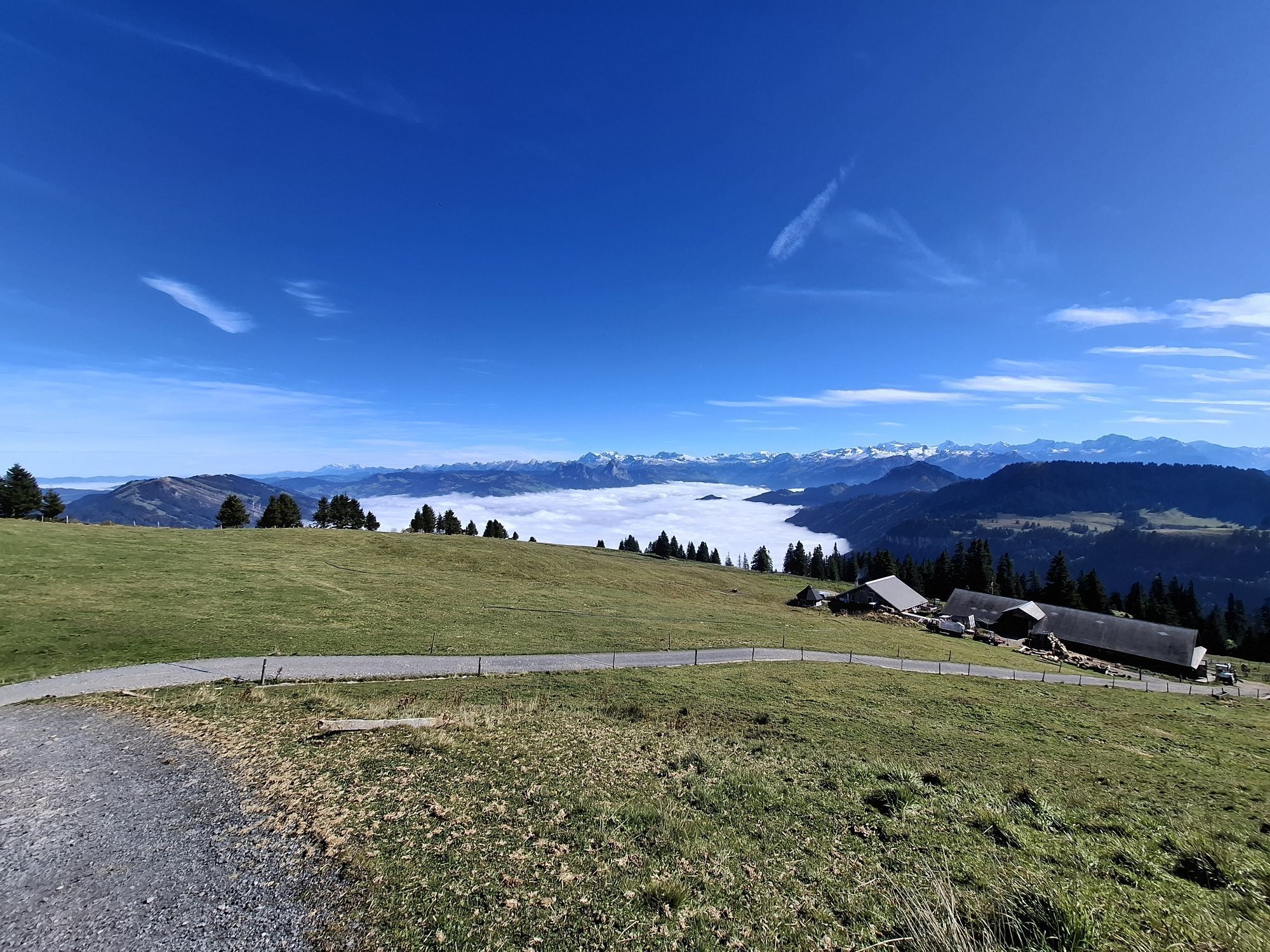
Rigi Kulm (1797 m) - Alp Chäserenholz (1577 m) - Unterschwändi (1409 m) - Rigi Klösterli (1302 m)
Sturdy winter equipments: weather-adjusted winter outdoor clothing, hiking boots with a good profile, gloves, helmet.
Right next to the Rigi Kulm mountain station is the Rigi Kulm rental centre, where sleds can be rented.
Please do not leave the marked sledge runs.Wearing a helmet is highly recommended.Children should be accompanied by an adult.
Vitznau: A4 exit Küssnacht am Rigi, follow the signs to Vitznau
Goldau: A4 exit Goldau, follow the signs to the open air parking lot A4 of RIGI BAHNEN AG
Good accessible by train and bus
Rigi Kulm, the starting point of the toboggan run, can be easily reached via Vitznau or Goldau with the cogwheel railway.
There are plenty parking spaces avaliable at Goldau A4 station. Fees apply. However, we recommend public transport instead of cars: lean back, be stress-free and do something good for the environment first.
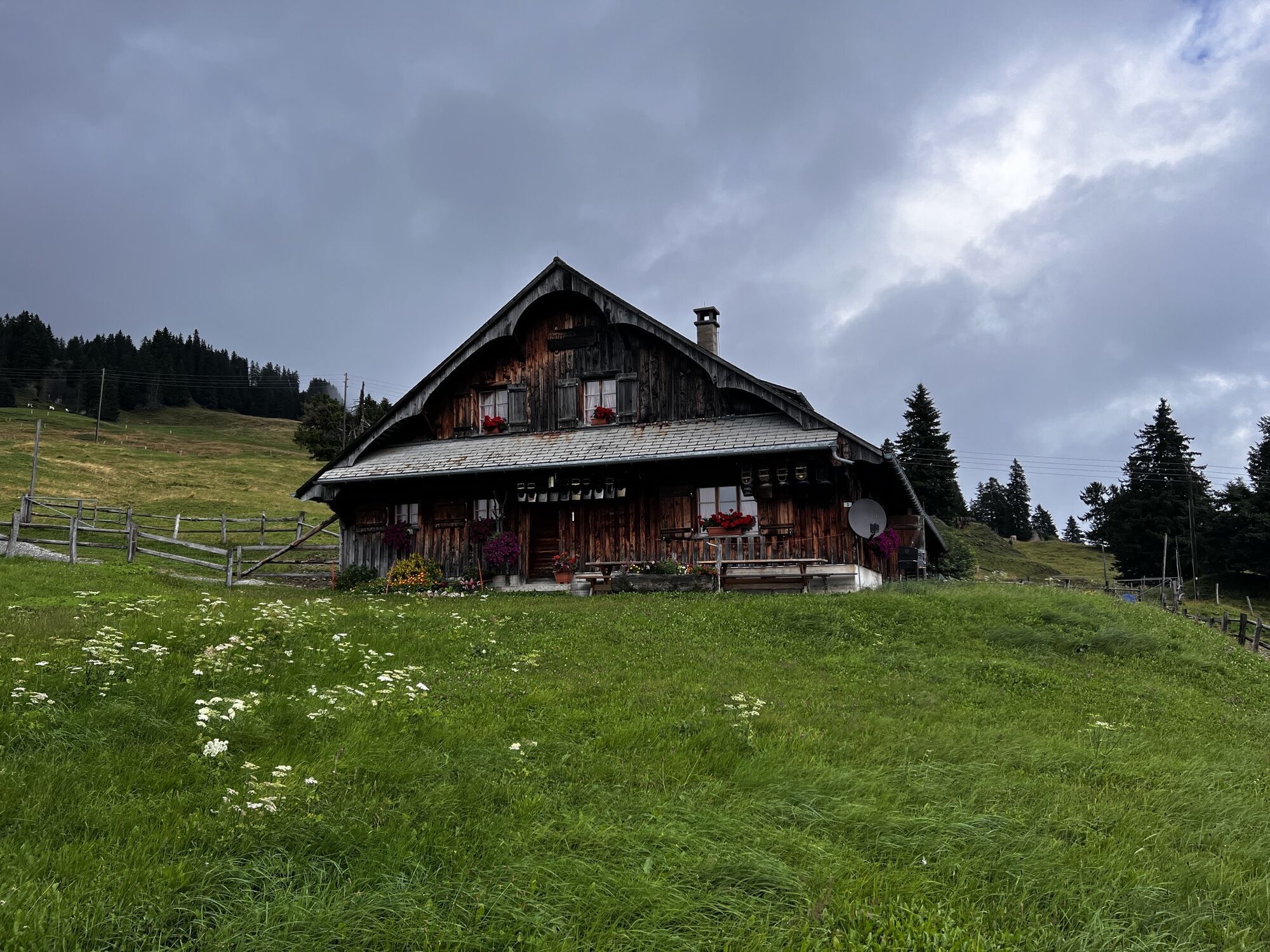
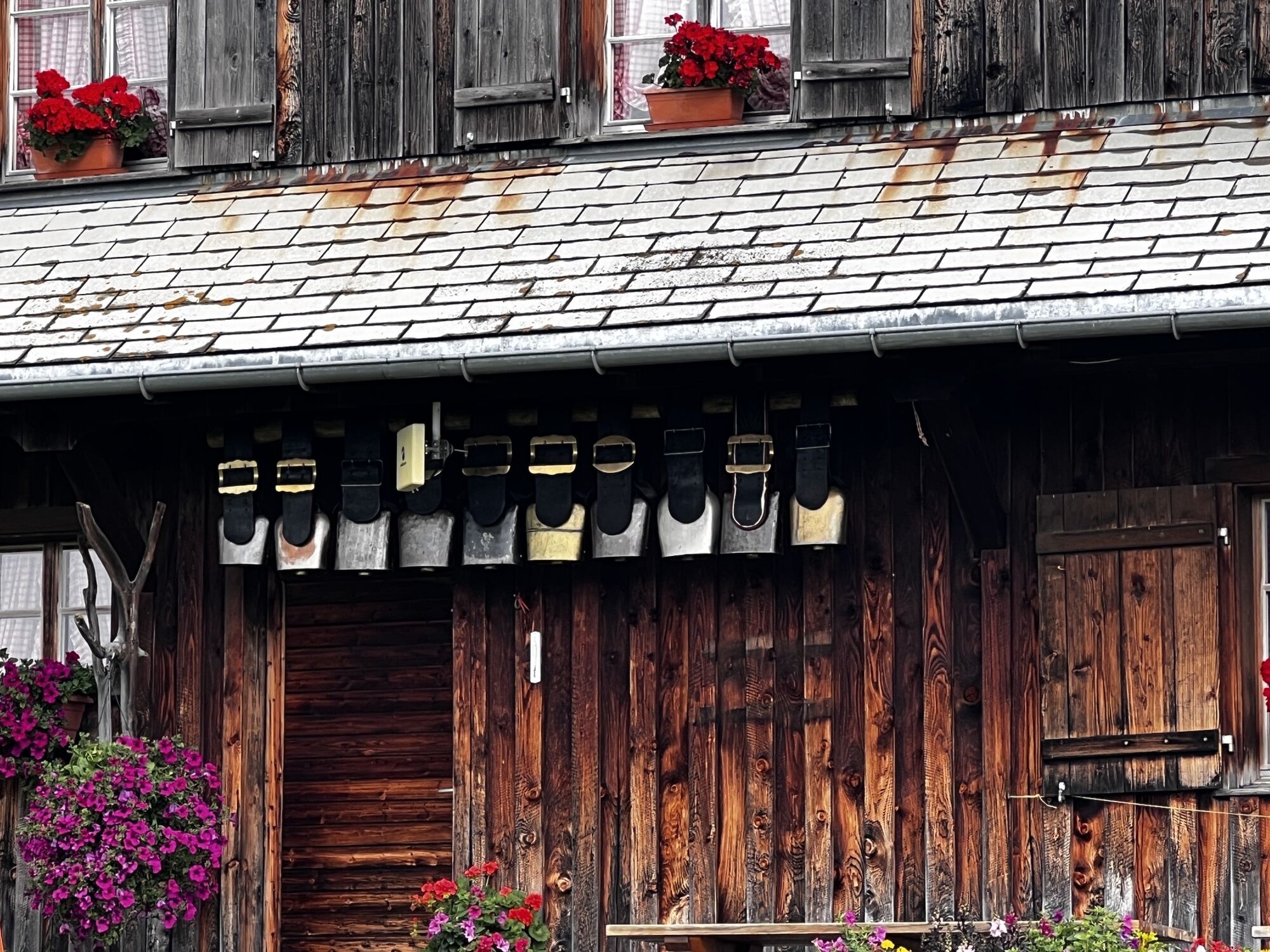
A break at the alpine cheese farm Chäserenholz with a small cheese tasting is always worthwhile.
Popularne wycieczki w okolicy
-
3,9
Rundweg Seebodenalp Küssnacht am Rigi, Schweiz
średniWędrówka 9,56 km -
4,4
Seebodenalp Panoramaweg
światłoWędrówka 5,25 km -
3,9
Gnipen - ab Goldau - Rundwanderung
średniWędrówka 10,6 km -
4,8
Rigi Kulm von Vitznau aus
średniWędrówka 17,6 km -
4,8
Home-Rigi Kulm-Home
średniWędrówka 18,6 km -
5,0
Kleine Rigi Runde🥾🏔
średniWędrówka 14,0 km -
5,0
Zugerberg - via Blasenberg - Rundwanderung
światłoWędrówka 9,44 km -
5,0
Morschach-Fronalpstock-Stoss, Schweiz
średniWędrówka 16,6 km -
5,0
Emmetten/Niederbauen - Niederbauen Chulm - Hundschopf - Fulberg - Oberbauenstock - Zingel - Wandeli - Choltal - Emmetten
średniWędrówka 18,4 km -
4,5
Wildspitz bei Sattel-Aegeri
światłoWędrówka 12,9 km
Wędrówki i tropienie


Nie przegap ofert i inspiracji na następne wakacje
Twój adres e-mail została dodana do listy mailingowej.