



Tour of Brunnen

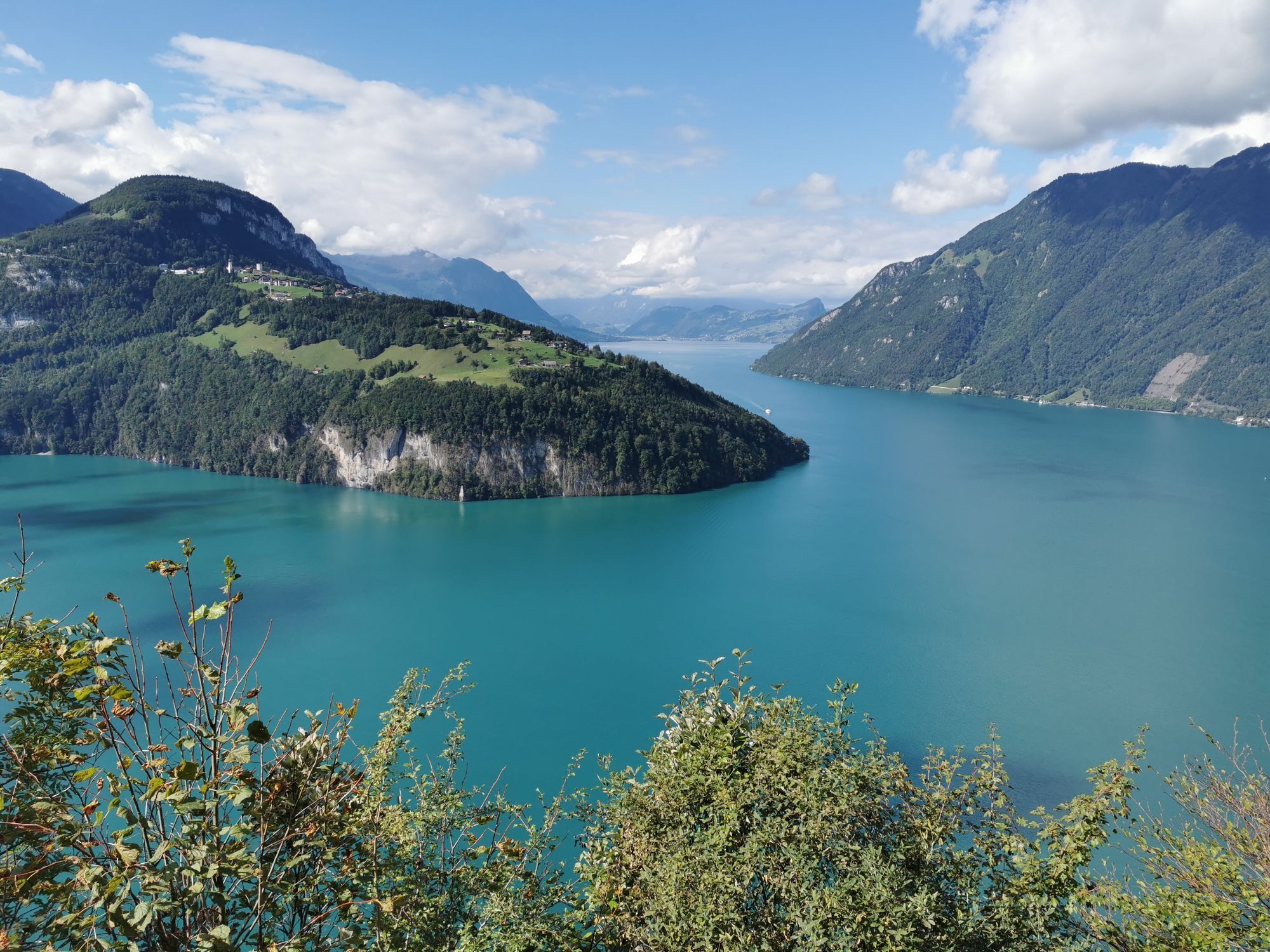
Tour of Brunnen
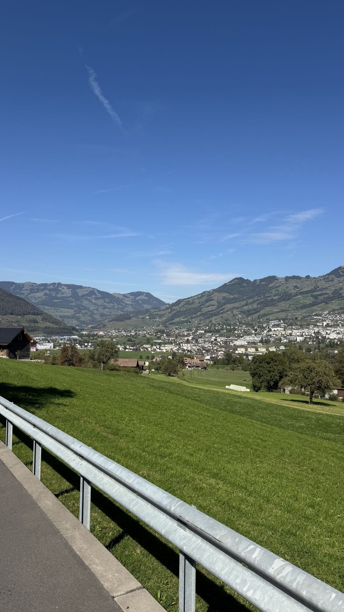
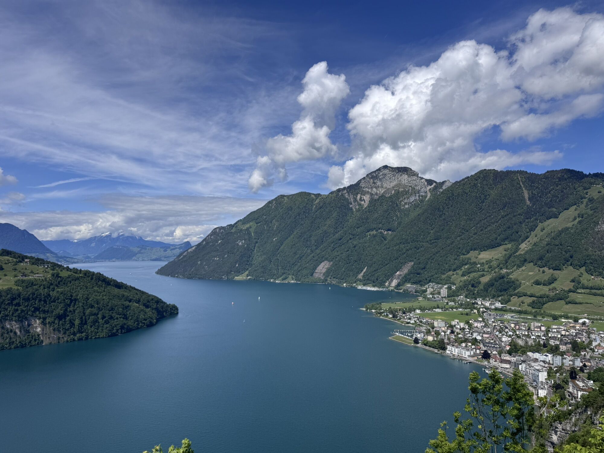
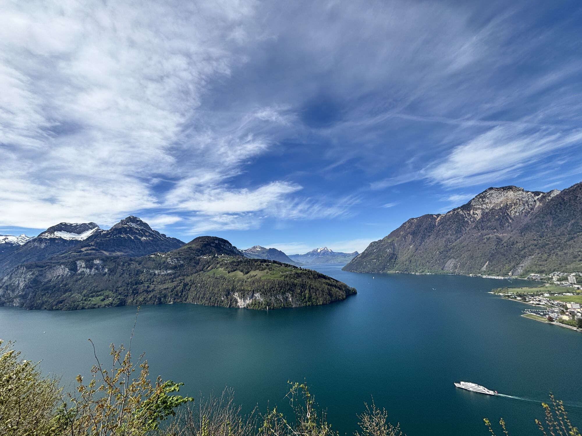
The bike tour starts in the village centre of Brunnen and leads you in the direction of Ingenbohl Monastery. Then ride uphill on the little-used asphalt road to the Schwyzerhöhe, from where...
Tour of Brunnen
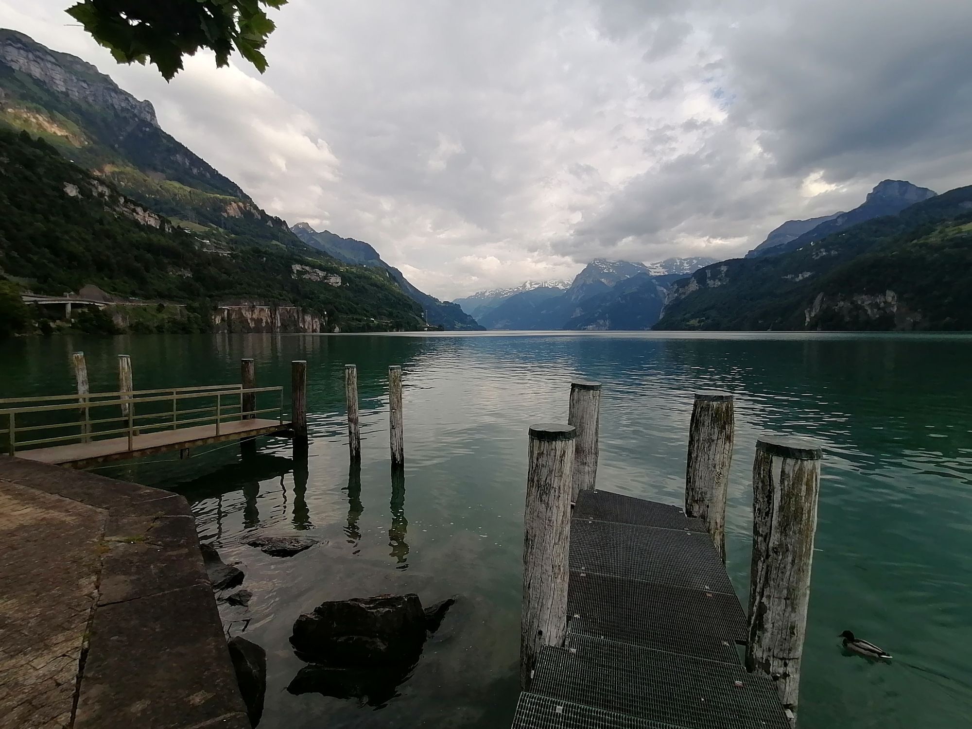
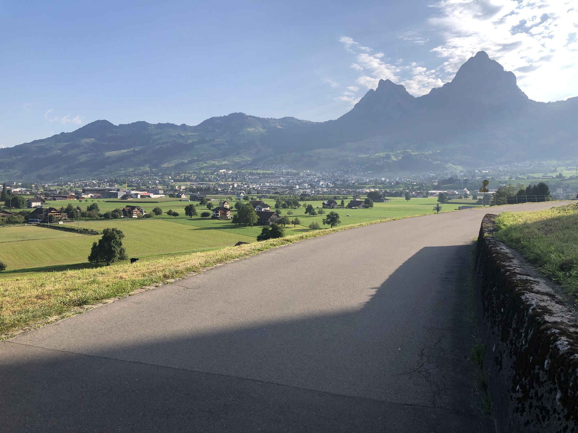
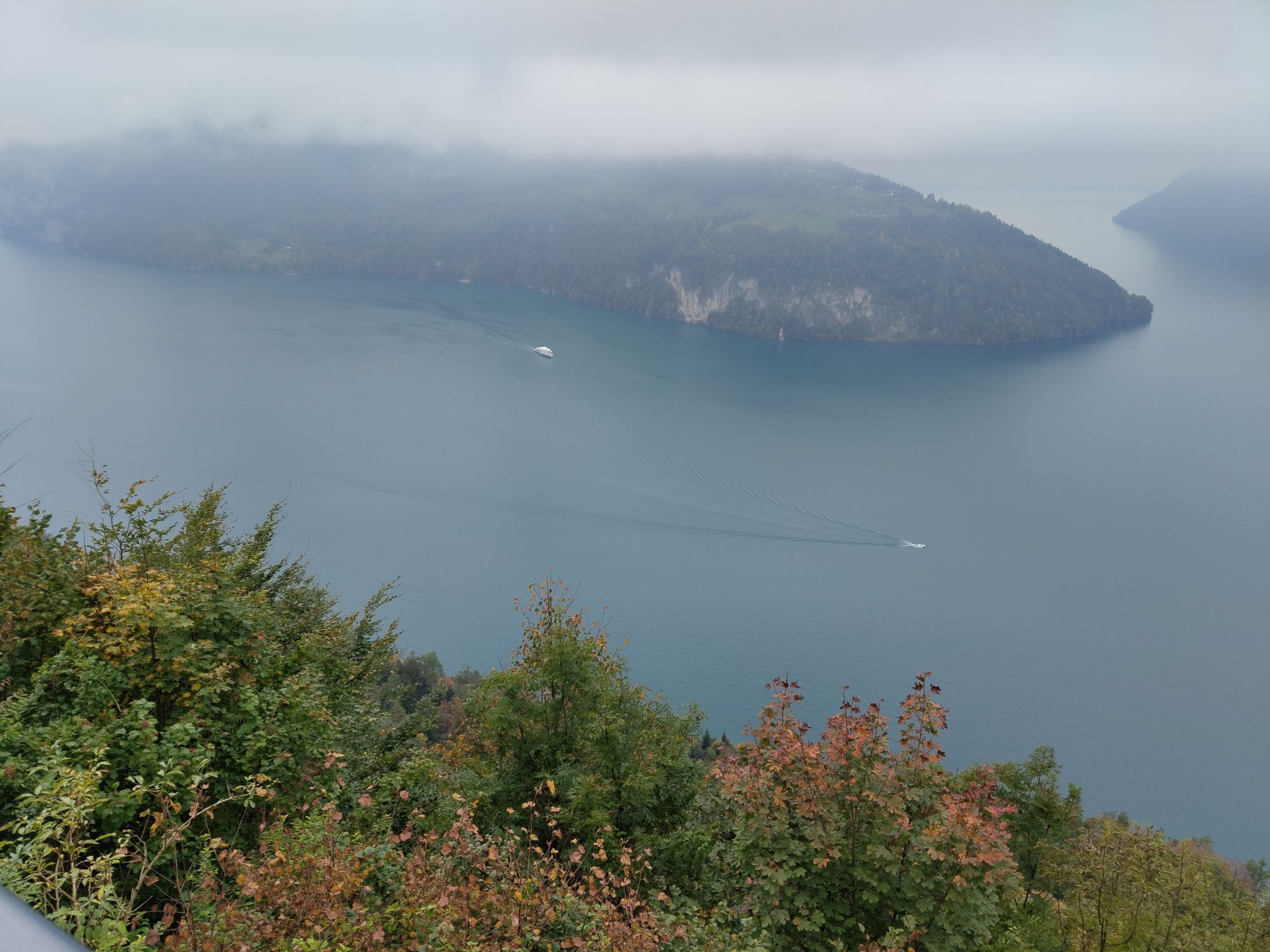
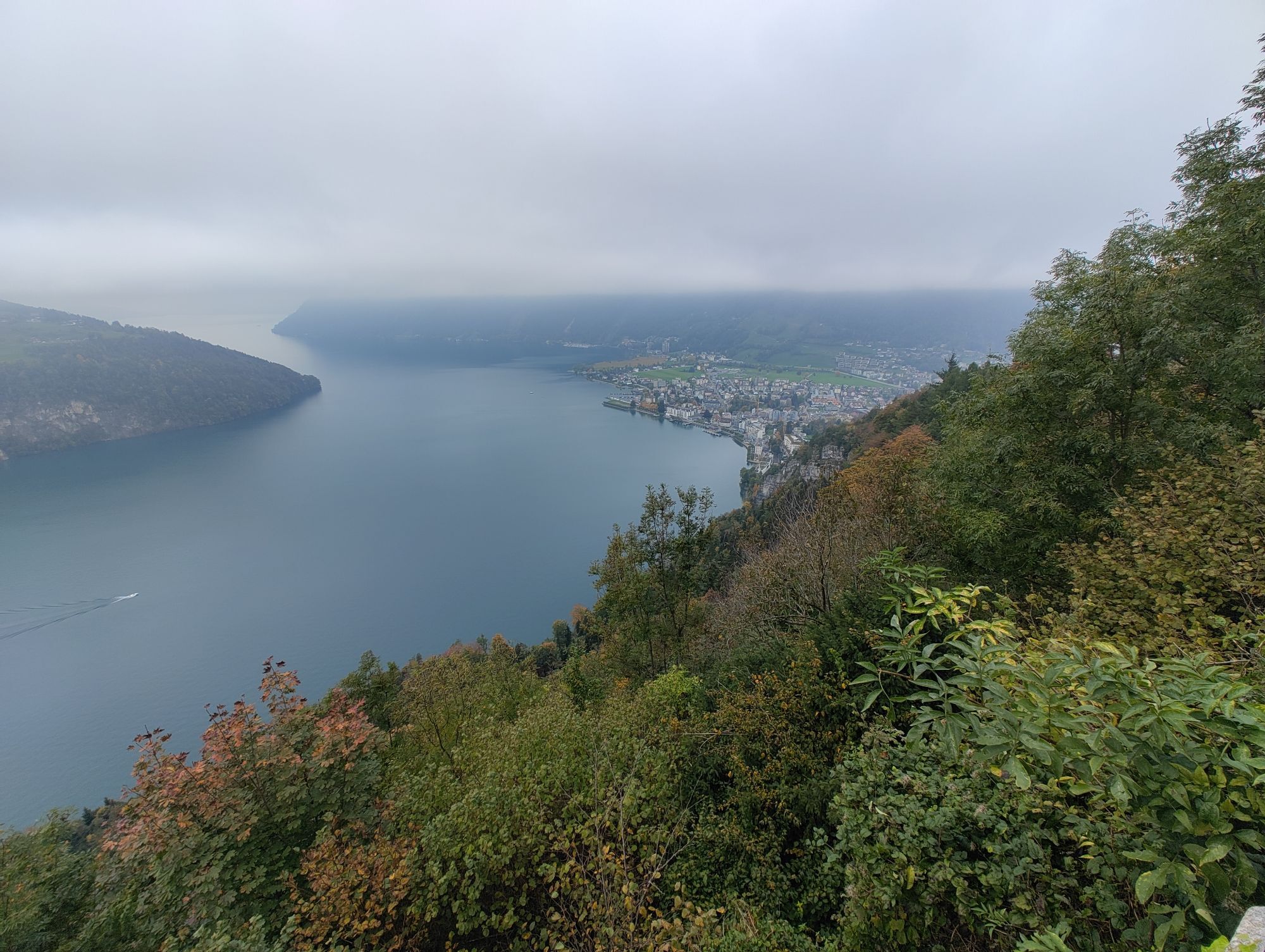
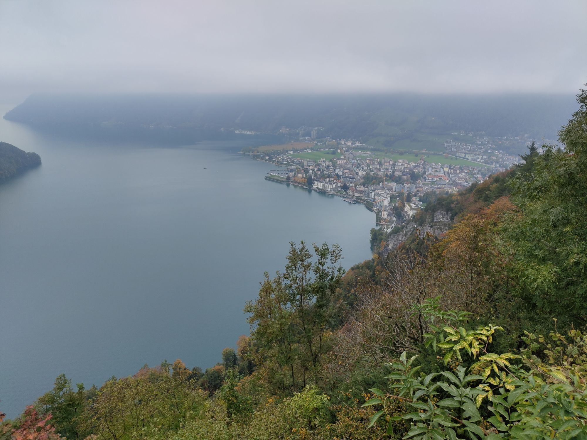
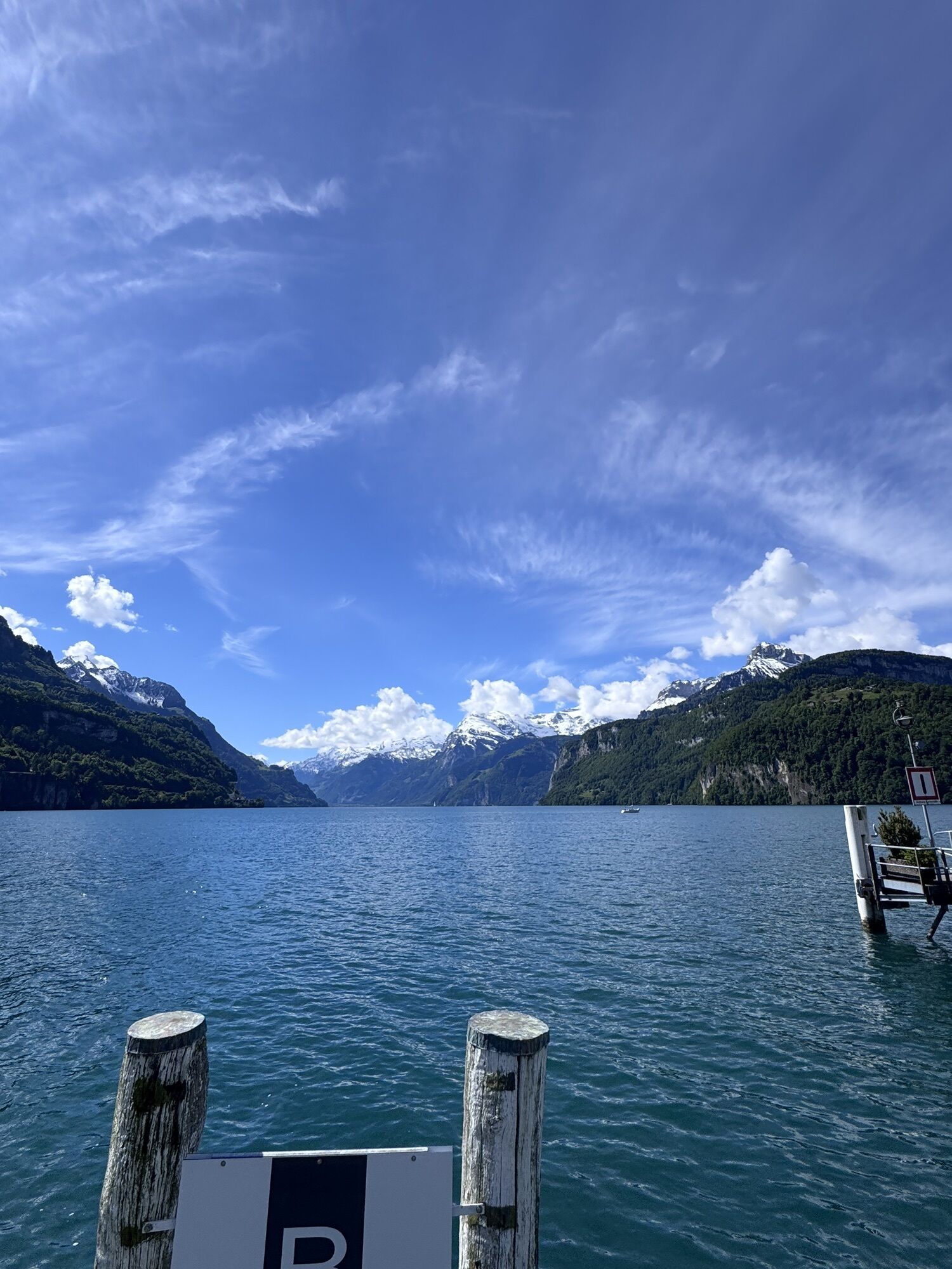
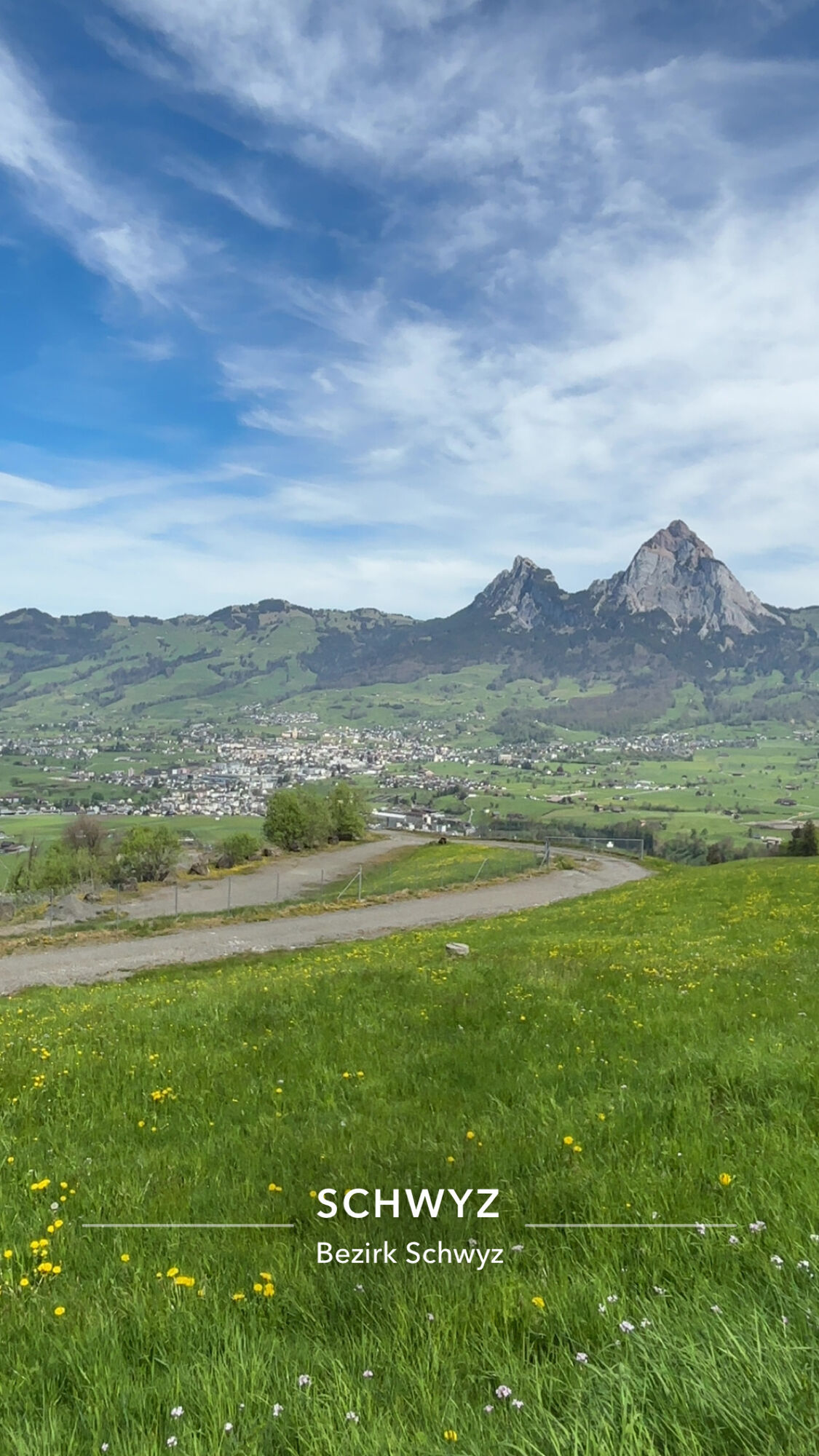
The bike tour starts in the village centre of Brunnen and leads you in the direction of Ingenbohl Monastery. Then ride uphill on the little-used asphalt road to the Schwyzerhöhe, from where you can enjoy the beautiful view for the first time. Then ride rapidly uphill to the village of Morschach and from there uphill again to the Axenstein. Take a short breather here and enjoy the breathtaking view again. Afterwards, you ride back to the village of Brunnen on a beautiful forest path with a pleasant gradient.
Andrea Waldis’s MTB tip
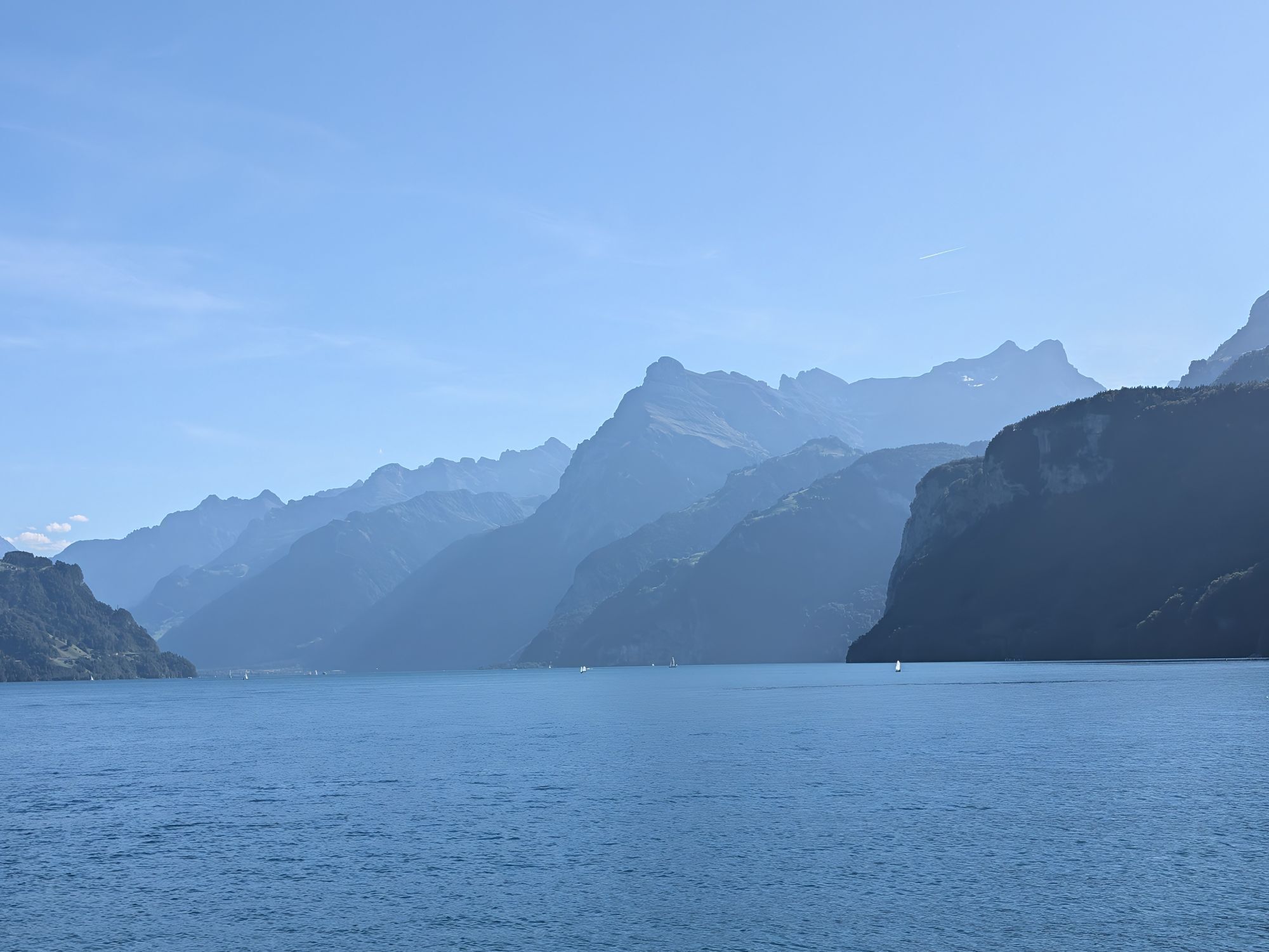
Andrea prefers to do her training at home in Morschach. The region encompassing the Ingenbohl forest and Axenstein offers a wide range of demanding MTB challenges. Do as she does, without forgetting to take a break now and then: the views of the surrounding mountains and Lake Lucerne never cease to amaze.
«Keep moving»
Andrea Waldis’s competitive streak was evident at a young age. She was entering mountain bike races at the age of nine, and now competes against the world elite. Her greatest achievements to date have been securing the title of Junior World Champion in 2012 and a World Cup victory (U23 category) in 2013. It was her family that sparked her passion for sport. They often went walking, cross-country skiing or mountain biking in the Schwyz region. Andrea’s father spurred her on, saying «keep moving».
Professional rider with a heart for children
Andrea Waldis is committed to supporting the next generation of MTB riders. She runs a weekly evening class for school children and in September 2017 she enrolled on a course at the Schwyz University of Teacher Education.

Brunnen - Schwyzerhöhe - Morschach - Axenstein - Brunnen
Kamery internetowe z trasy
-
Stoos - Fronalpstock
-
Stoos - Fronalpstock
-
Stoos - Fronalpstock
-
Stoos - Fronalpstock
-
Stoos - Fronalpstock
-
Stoos - Fronalpstock
-
Stoos - Fronalpstock
-
Stoos Dorf
-
Stoos Dorf
-
Stoos Dorf
-
Stoos Dorf
-
Stoos Dorf
-
Stoos Dorf
-
Stoos - Fronalpstock
-
Stoos Dorf
-
Stoos Dorf
-
Brunnen am Vierwaldstättersee
-
Schwyz
-
Morschach
-
Muotathal
-
Rütliwiese

Popularne wycieczki w okolicy
-
5,0
Stoos - Klingenstock (via Sessellift) - Huser Stock - Fronalpstock - Stoos
światłoWędrówka 11 km -
4,6
Gratwanderung Klingenstock
światłoWędrówka 9,36 km -
4,3
Mythenweg - Bergwanderung auf den Grossen Mythen
ciężkiWędrówka 3,40 km -
4,5
Kleiner Mythen
średniWędrówka 6,31 km -
3,9
Rundweg Seebodenalp Küssnacht am Rigi, Schweiz
średniWędrówka 9,56 km -
4,7
Mythen via Ibergeregg
średniWędrówka 9,73 km -
4,5
Brunni-Feuerstellen-Rundwanderung
światłoWędrówka 11,5 km -
5,0
Wanderung entlang der Mythen, Alp "Zwüschet-Mythen"
średniWędrówka 10,5 km -
4,7
Holzegg - Grosser Mythen - Restaurant Grosser Mythen - Alpwirtschaft Brunnialp
średniWędrówka 5,66 km -
3,9
Gnipen - ab Goldau - Rundwanderung
średniWędrówka 10,6 km
Wędrówki i tropienie


Nie przegap ofert i inspiracji na następne wakacje
Twój adres e-mail została dodana do listy mailingowej.


