






Rigi Tour - SwitzerlandMobility Route 963
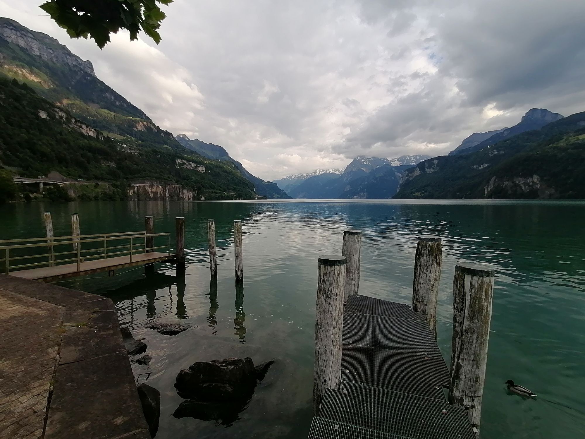
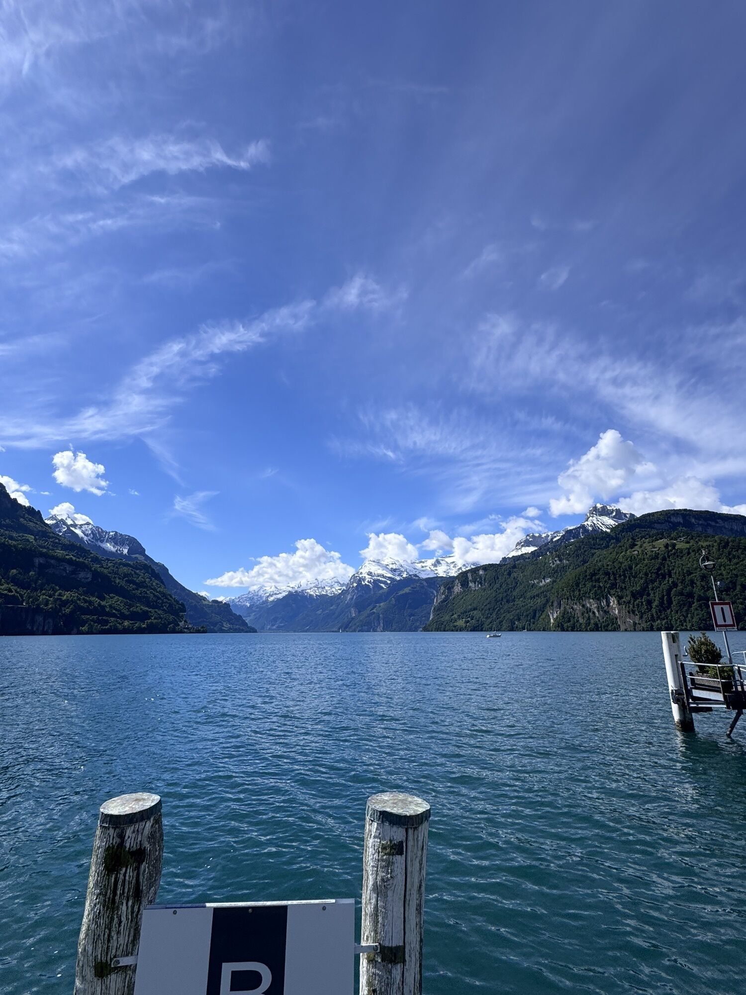
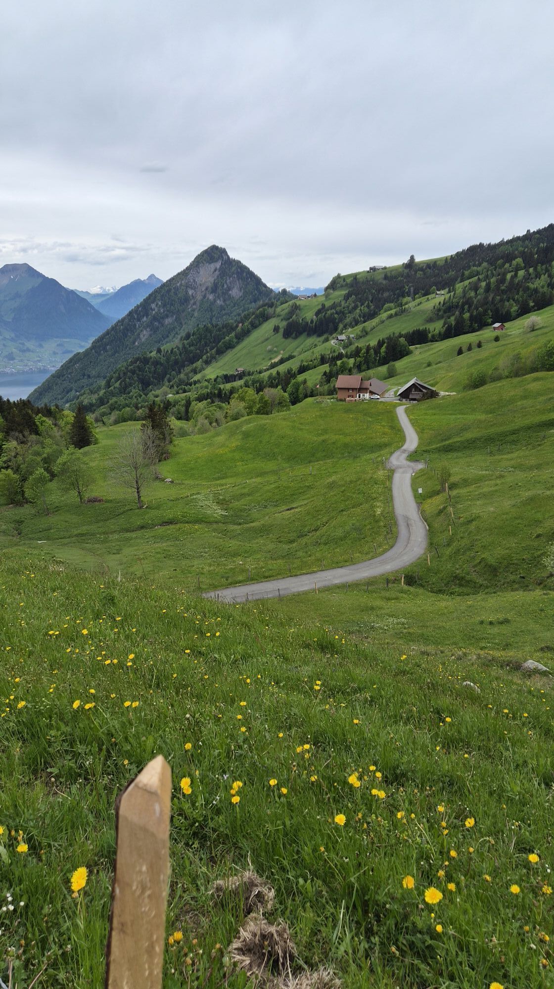
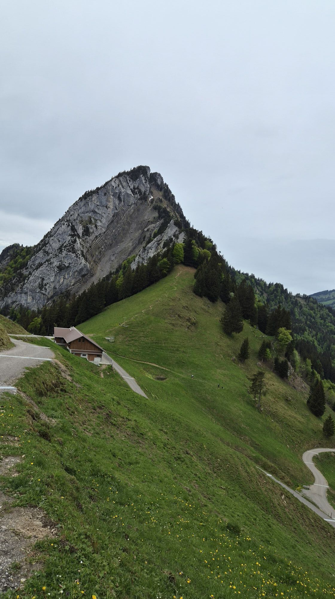
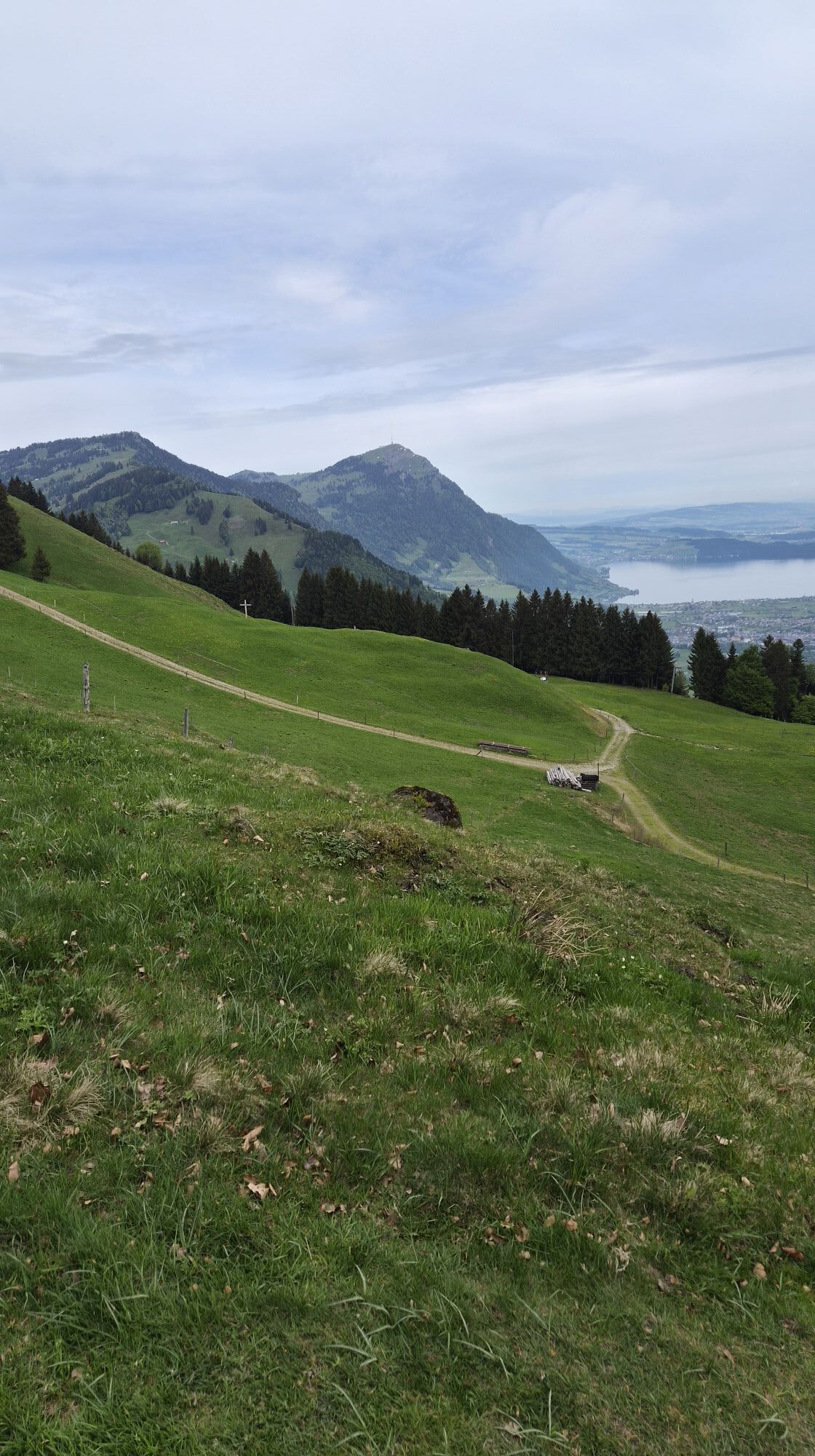
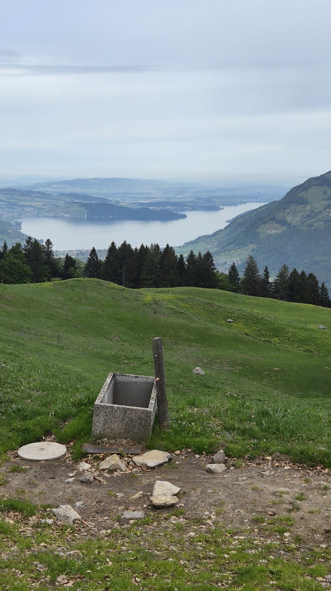
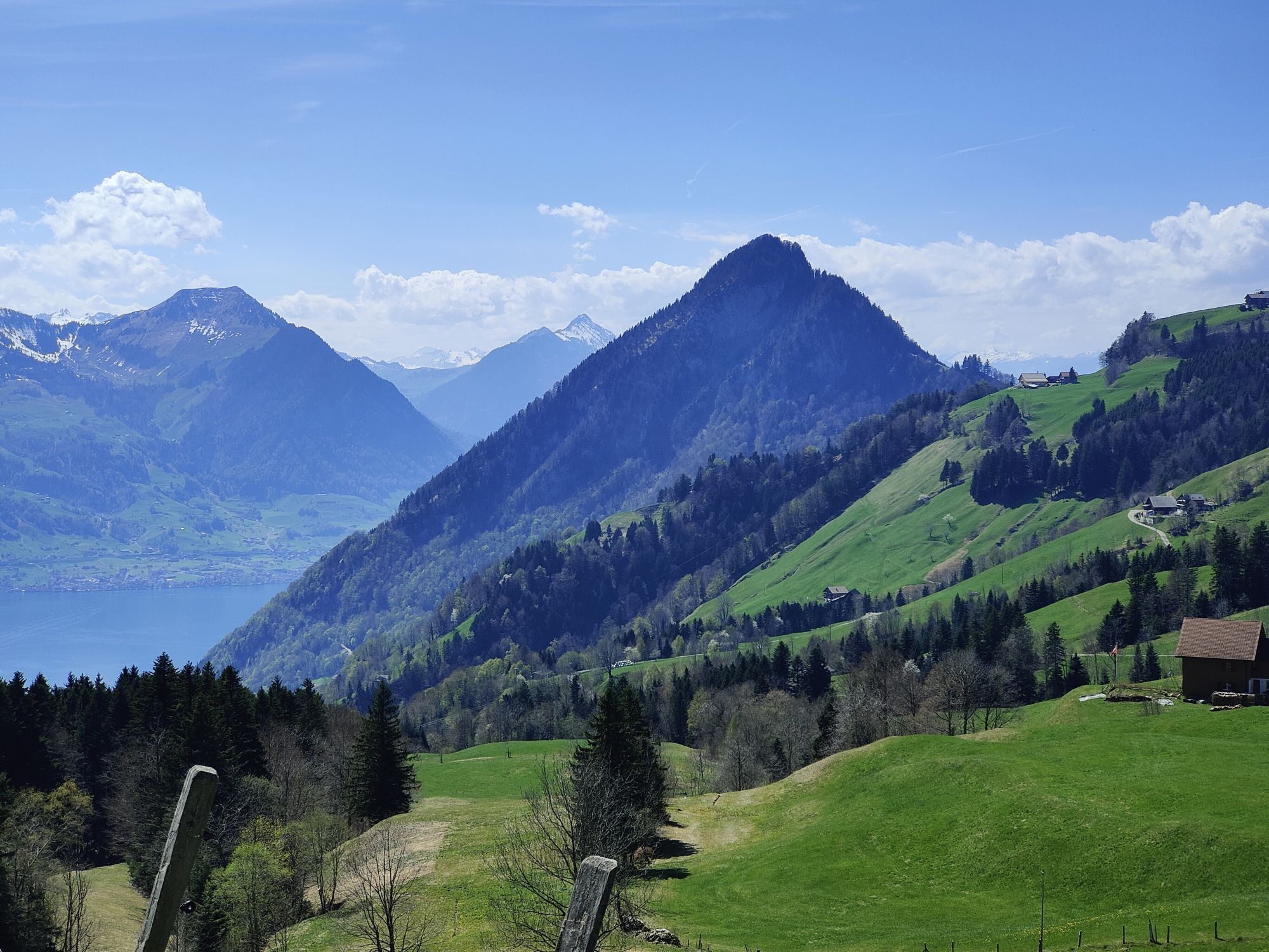
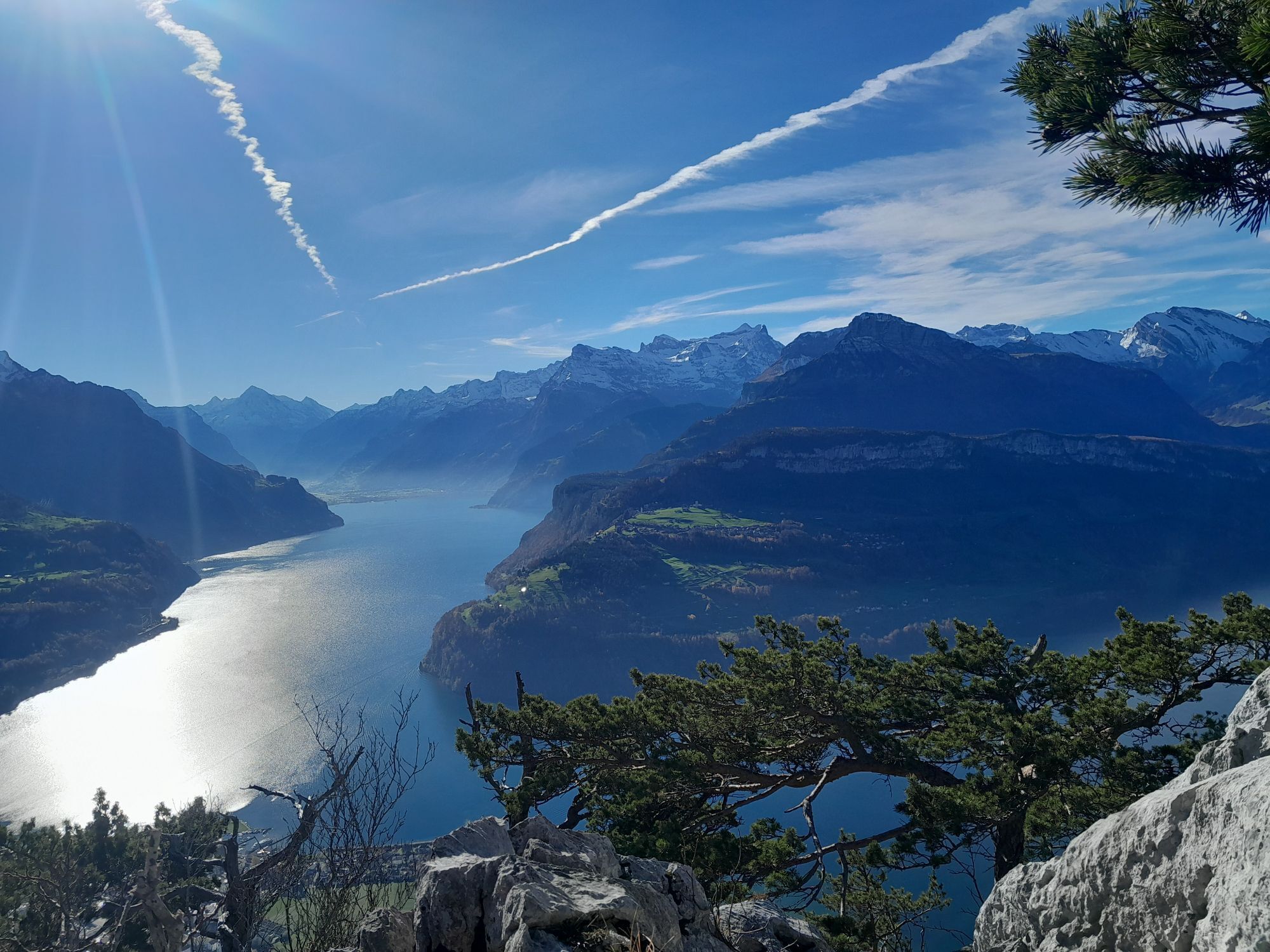
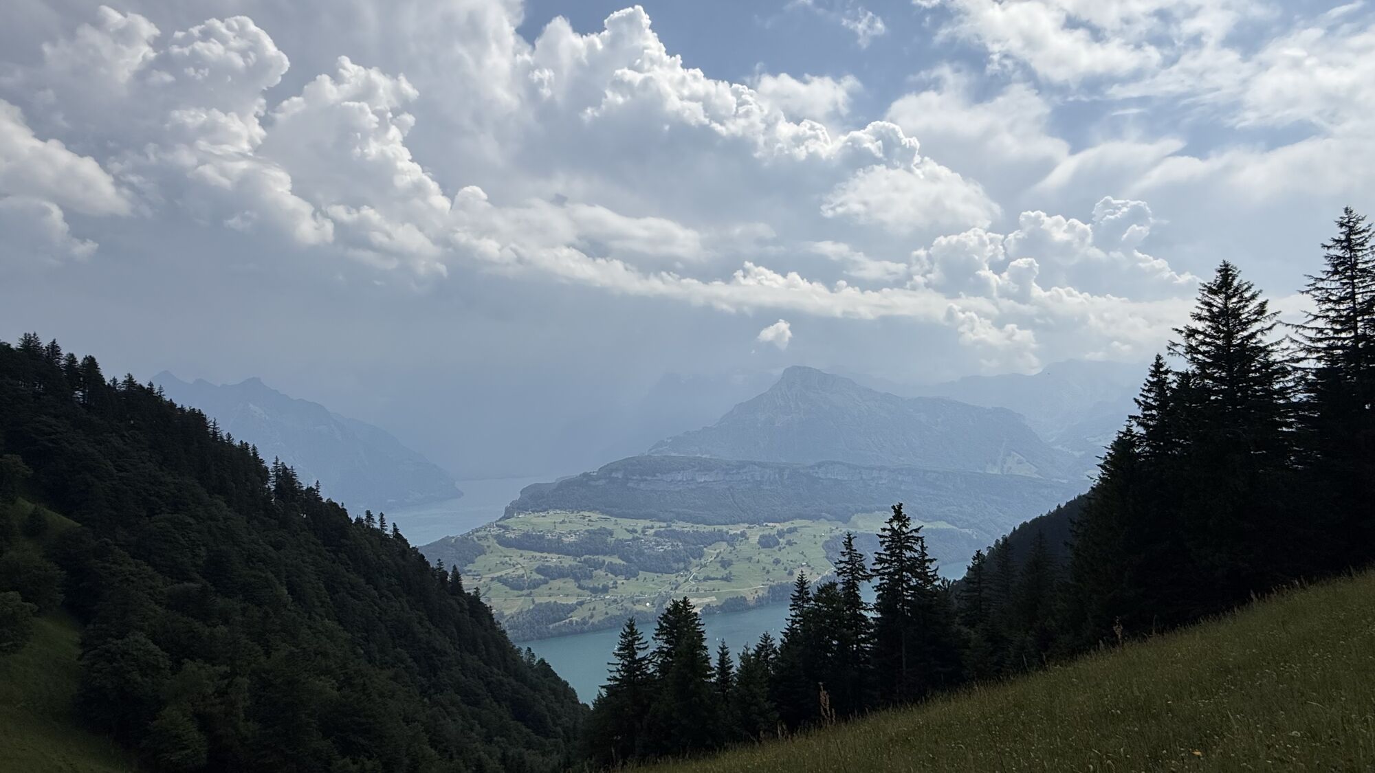
Though not really technically difficult, you need to be fit for this demanding tour. It is amply rewarded by wonderful distant views.
After a flat section along Lake Lucerne, the ascent to the Gätterli...
Though not really technically difficult, you need to be fit for this demanding tour. It is amply rewarded by wonderful distant views.
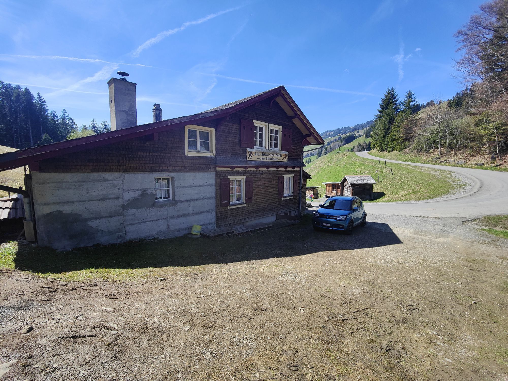
After a flat section along Lake Lucerne, the ascent to the Gätterli Pass begins at Gersau. The ride leads to Timpelweid via Alp Egg and the Gottertli. Just before the Urmiberg is a short section where you need to dismount. This is followed by a rapid descent down to the valley and along the Muota back to where you started.

Brunnen - Gersau - Gätterli - Gotterli - Urmiberg - Seewen - Brunnen
The lakeside road between Brunnen and Gersau is very busy on weekends. The route is waymarked in one direction only: Brunnen - Gersau - Gätterli - Brunnen.
Ein dichtes Netz gut ausgebauter National- und Hauptstrassen verbindet Brunnen mit allen wichtigen Zentren der Schweiz und der Nachbarländer. Weitere Informationen: www.tcs.ch oder www.maps.google.ch
Brunnen lies on the most important north-south railway axis and benefits from excellent connections with the rest of the Swiss Federal Railways network. Excellent rail links.
Insider's tip: take the bike on the boat and enjoy the trip on Lake Lucerne to Brunnen.
Auf dem Ortsplan von Brunnen finden Sie die verschiedenen Parkplätze eingezeichnet. Alle Parkplätze sind kostenpflichtig.
Empfehlung für Langzeitparkierer 24h/CHF 5.- Muotaplatz.
Lake Lucerne
Kamery internetowe z trasy
-
Bärenfang
-
Beckenried - Bootshafen Rütenen
-
Mostelberg - Sattel
-
Stoos - Fronalpstock
-
Stoos - Fronalpstock
-
Stoos - Fronalpstock
-
Stoos - Fronalpstock
-
Stoos - Fronalpstock
-
Stoos - Fronalpstock
-
Stoos - Fronalpstock
-
Stoos Dorf
-
Stoos Dorf
-
Stoos Dorf
-
Stoos Dorf
-
Stoos Dorf
-
Stoos Dorf
-
Stoos - Fronalpstock
-
Stoos Dorf
-
Stoos Dorf
-
Brunnen am Vierwaldstättersee
-
Mostelberg Engelstock
-
Schwyz
-
Lauerz
-
Morschach
-
Vitznau Hinterbergen
-
Gleitschirm Landeplatz Emmetten
-
Gleitschirm Landeplatz Emmetten
-
Rütliwiese
-
Herzog Werft Gersau
Uzyskaj wgląd
Zawsze na żywo z ponad 9 500 kamer internetowych. bergfex Jako użytkownik Pro, możesz teraz zobaczyć odpowiednie kamery internetowe dla wielu wycieczek w aplikacji wycieczki od. Pozwala to na bezpośredni podgląd aktualnych warunków.
Popularne wycieczki w okolicy
-
4,8
Gratwanderung Klingenstock
światłoWędrówka 9,36 km -
4,5
Rundwanderung
światłoWycieczki górskie 12,9 km -
4,3
Mythenweg - Bergwanderung auf den Grossen Mythen
ciężkiWędrówka 3,40 km -
3,9
Rundweg Seebodenalp Küssnacht am Rigi, Schweiz
średniWędrówka 9,56 km -
4,2
Kleiner Mythen
średniWędrówka 6,31 km -
4,5
Brunni-Feuerstellen-Rundwanderung
światłoWędrówka 11,5 km -
4,7
Mythen via Ibergeregg
średniWędrówka 9,73 km -
4,4
Seebodenalp Panoramaweg
światłoWędrówka 5,25 km -
3,9
Gnipen - ab Goldau - Rundwanderung
średniWędrówka 10,6 km -
5,0
Wanderung entlang der Mythen, Alp "Zwüschet-Mythen"
średniWędrówka 10,5 km
Wędrówki i tropienie


Nie przegap ofert i inspiracji na następne wakacje
Twój adres e-mail została dodana do listy mailingowej.





