







Fronalp Tour - SwitzerlandMobility Route 801

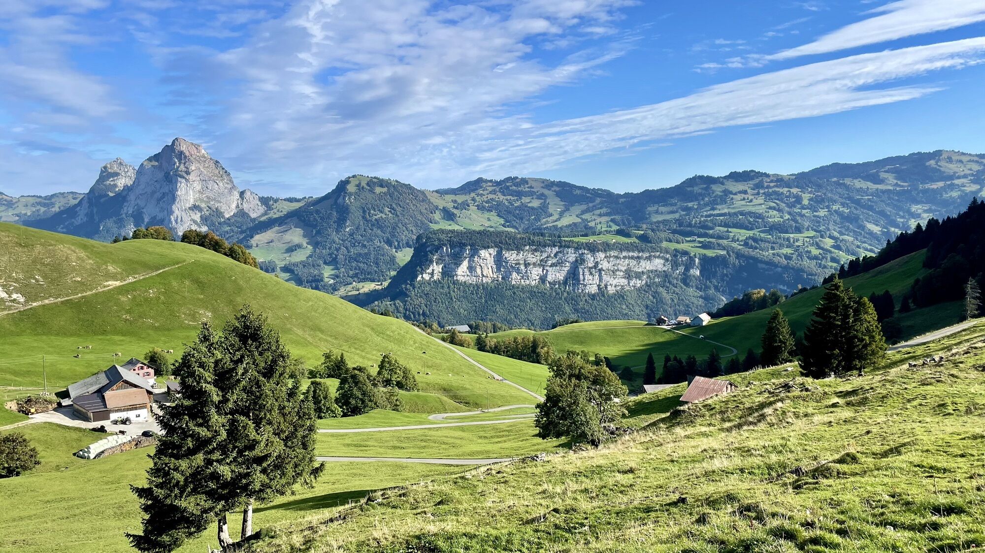
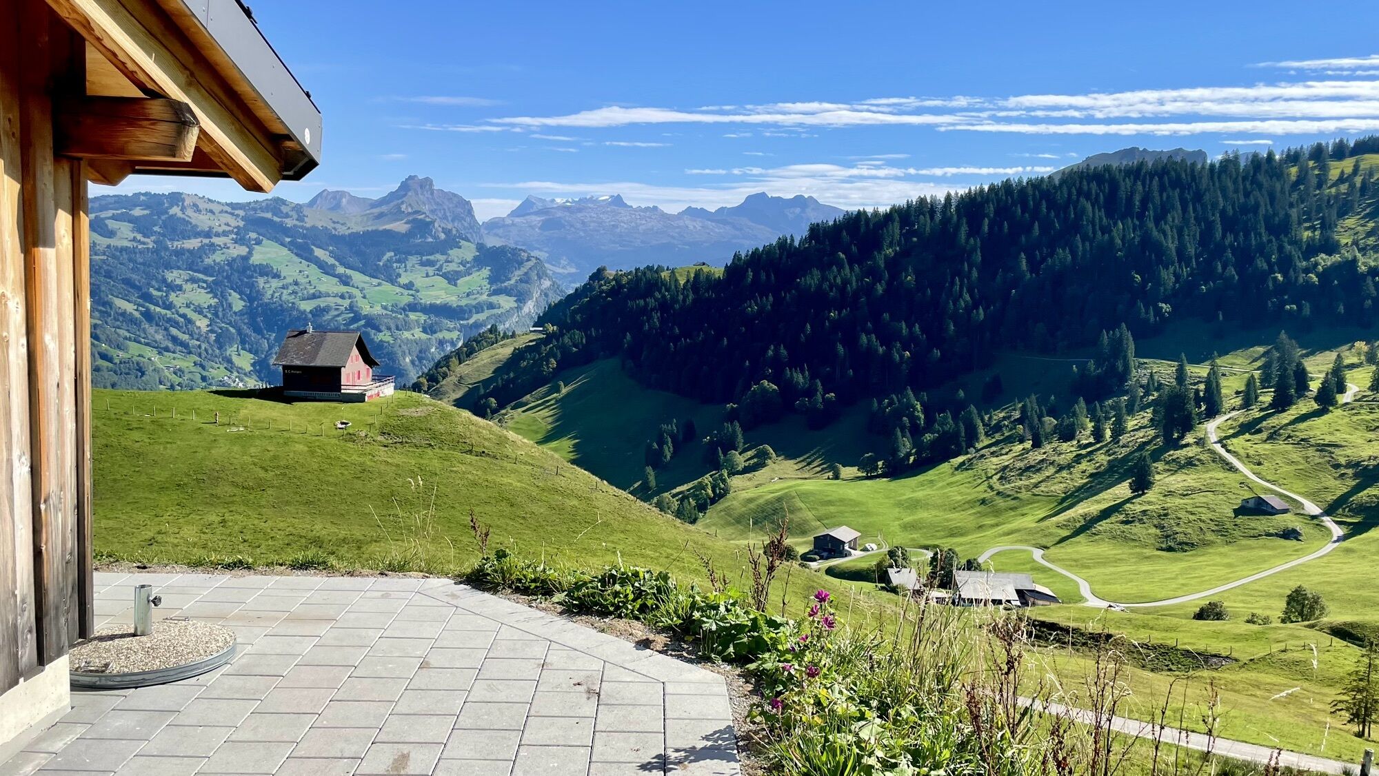
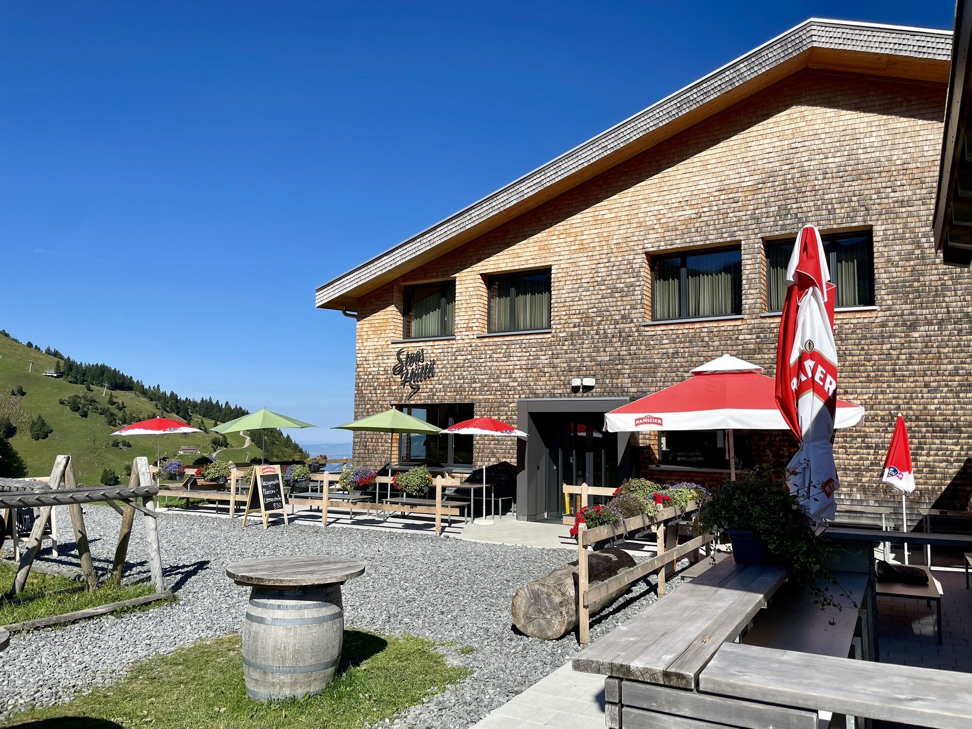
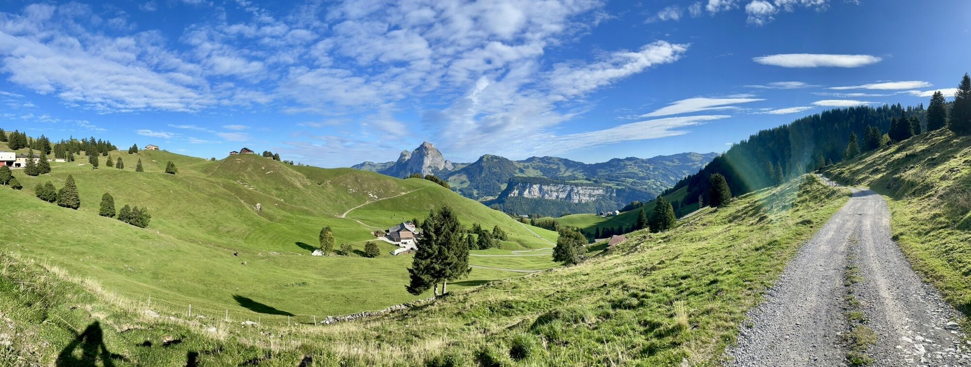
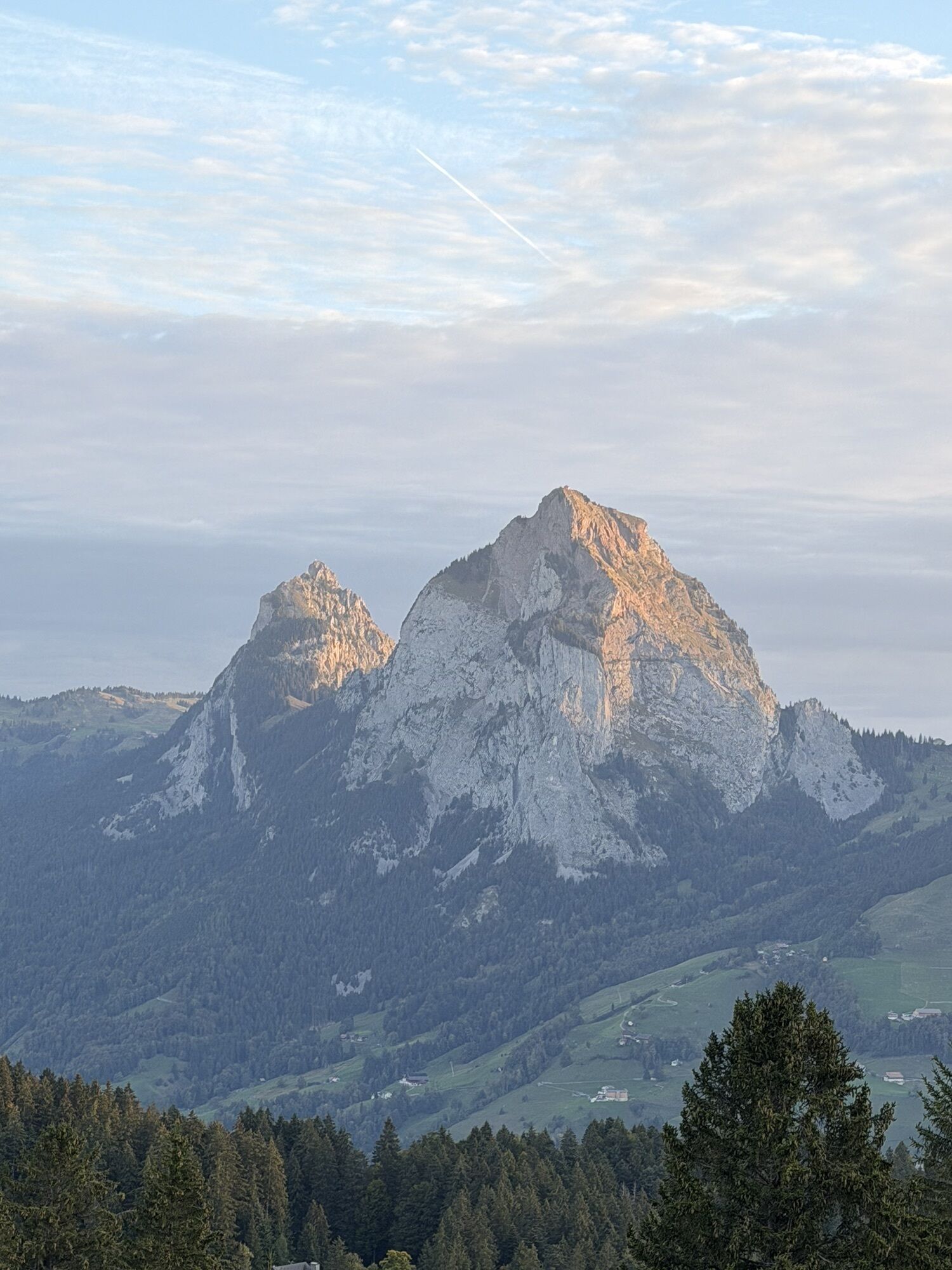
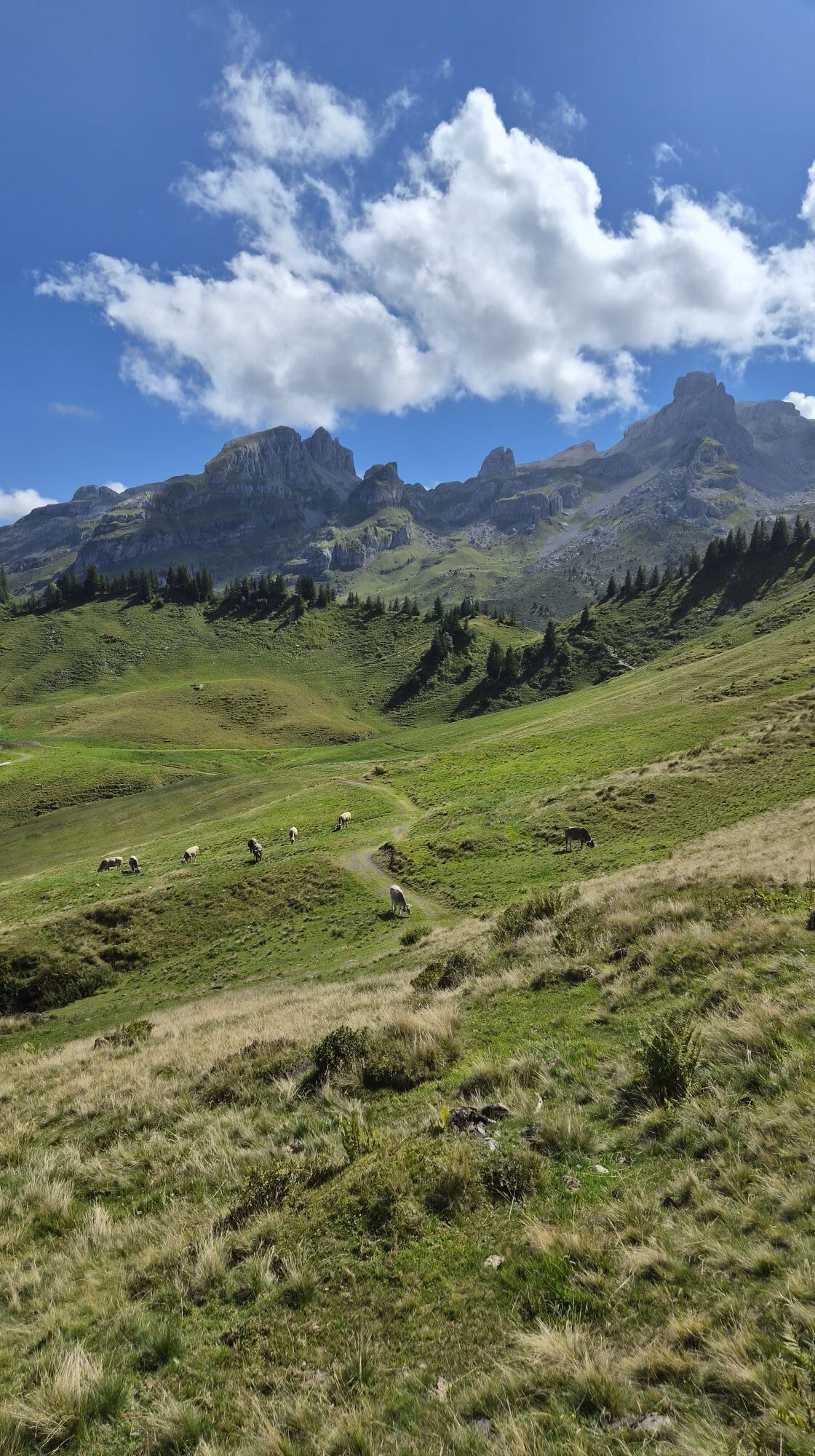
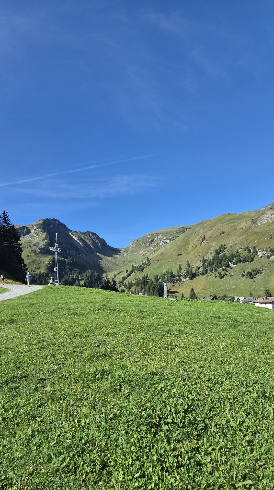
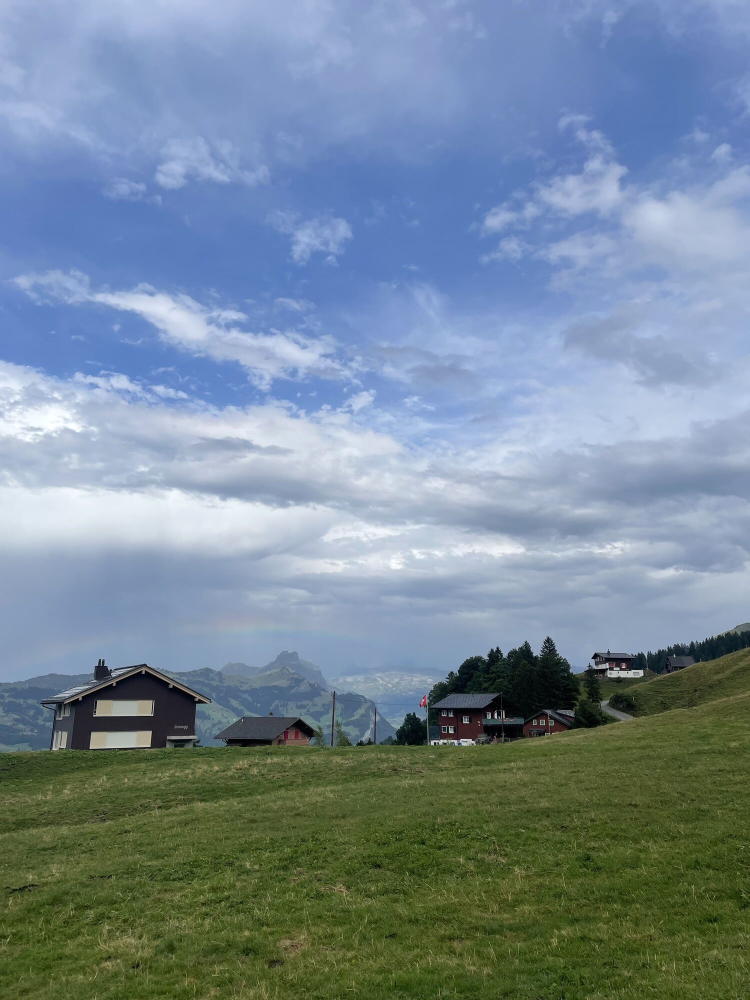
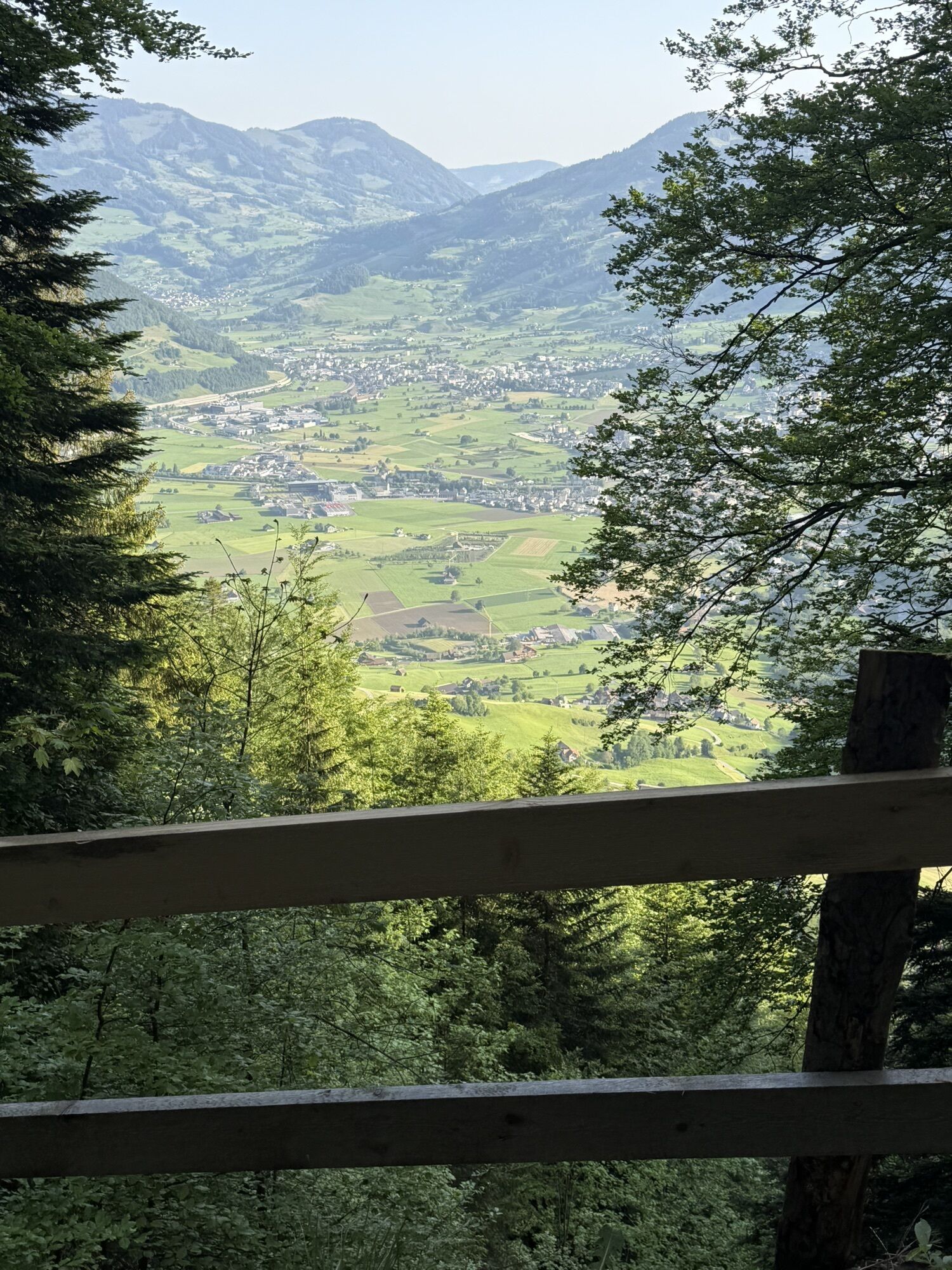
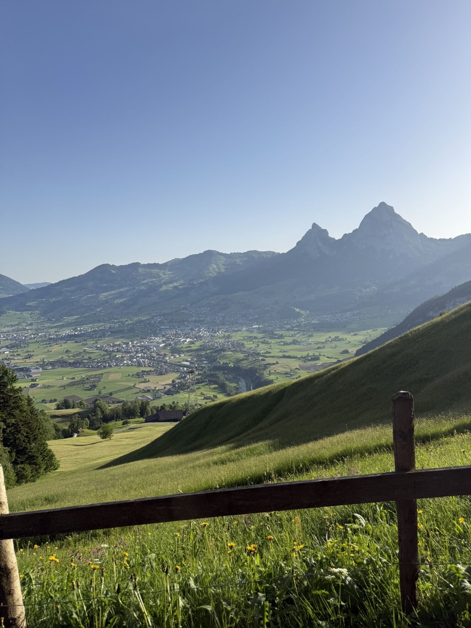
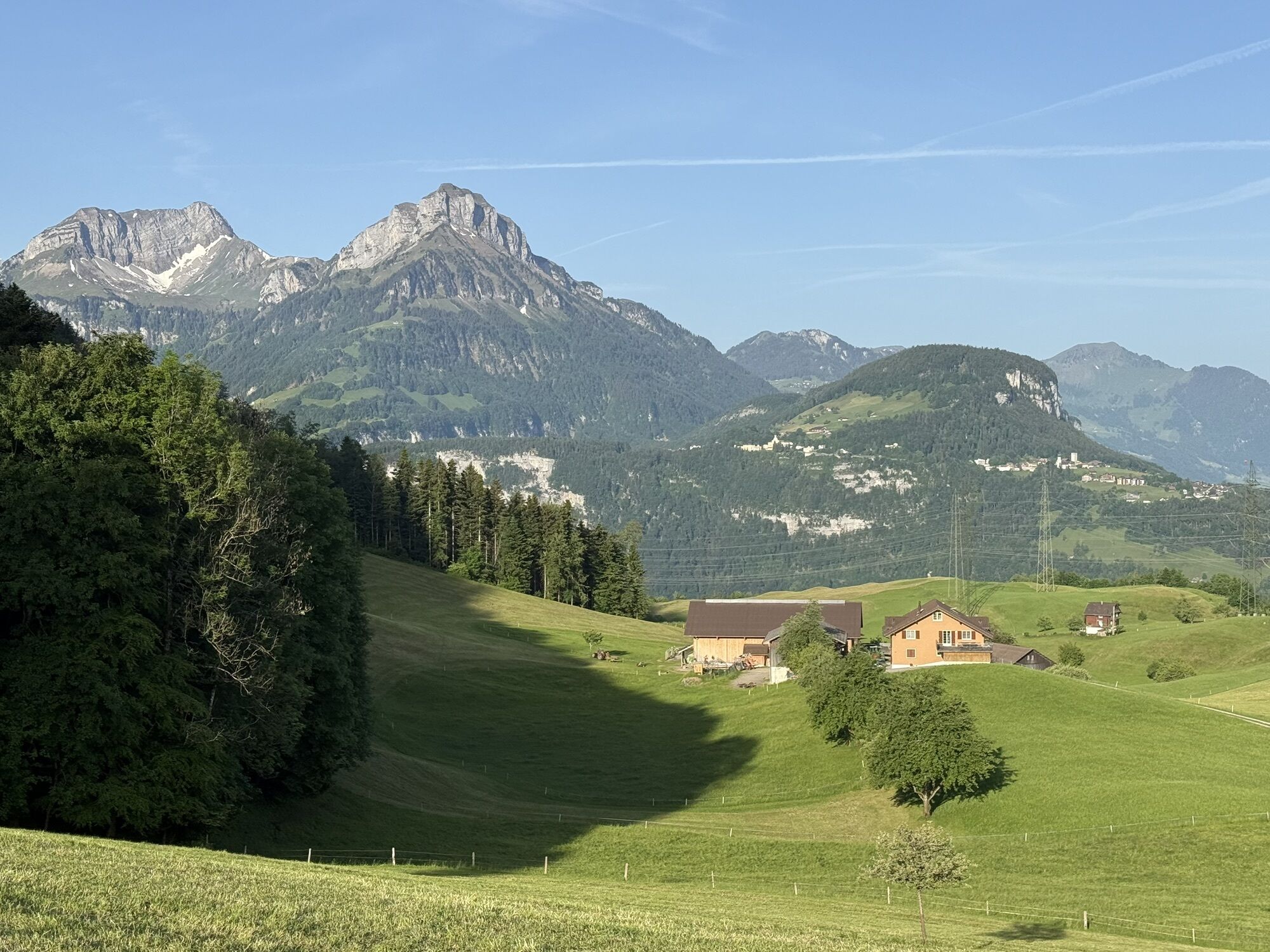
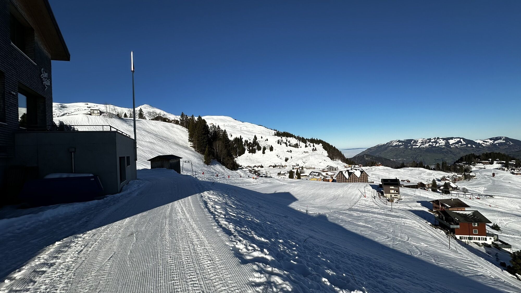
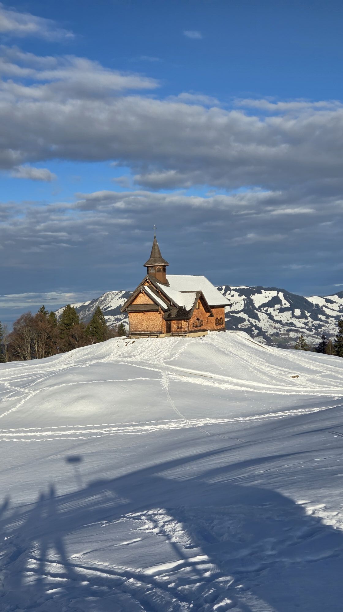
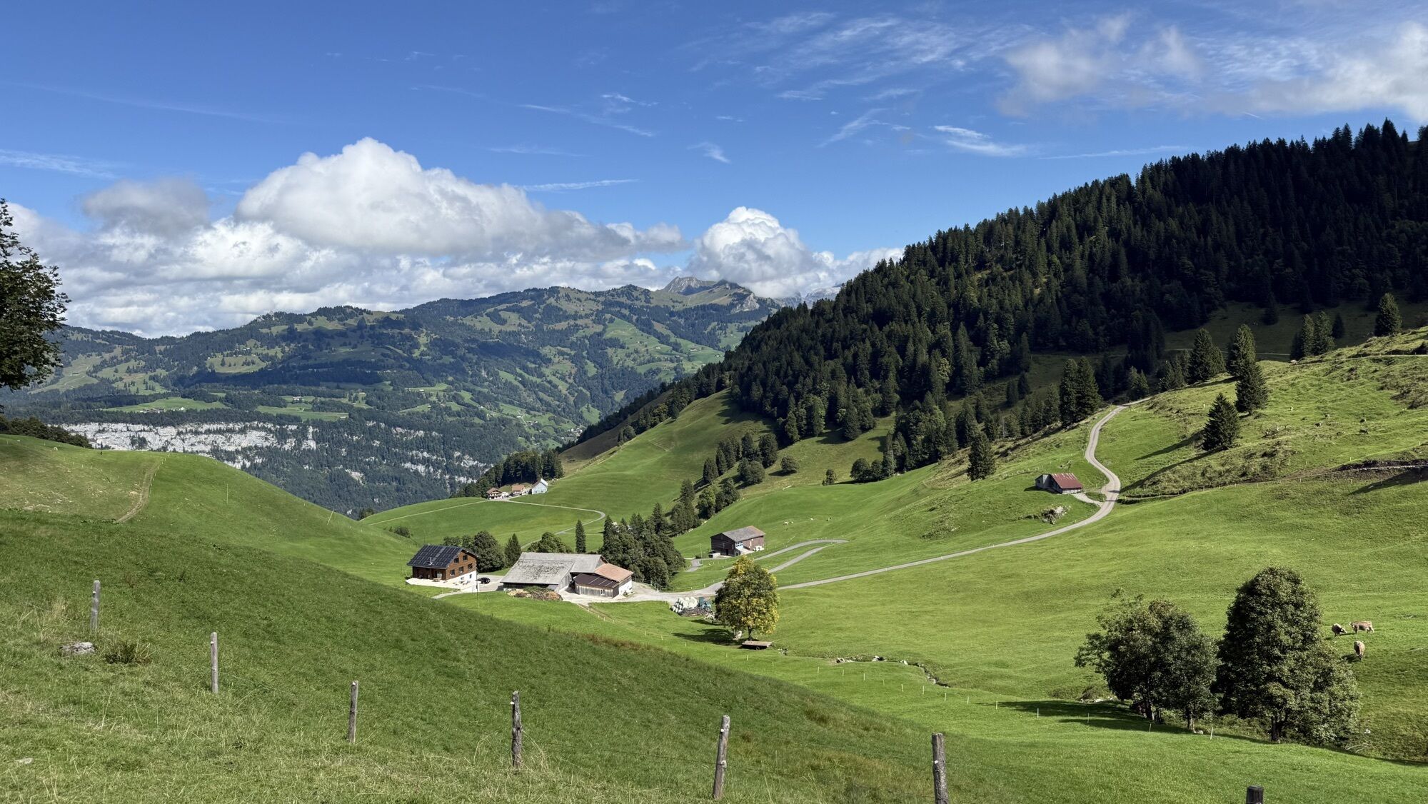

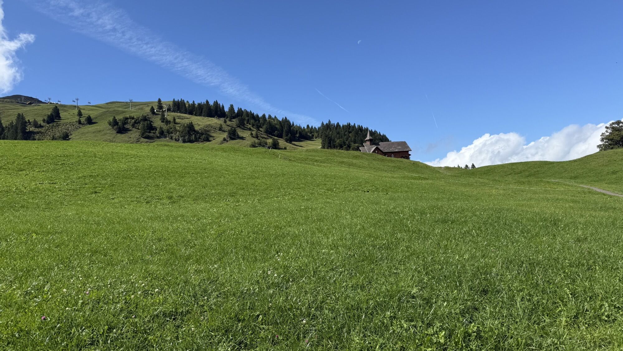
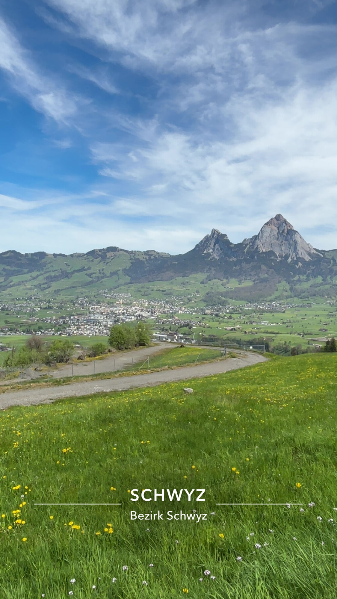

This richly varied tour takes place amid the imposing mountains of Central Switzerland. It leads through the familiar Muota valley up to Stoos through glorious tracts of woodland and past lush meadows,...
This richly varied tour takes place amid the imposing mountains of Central Switzerland. It leads through the familiar Muota valley up to Stoos through glorious tracts of woodland and past lush meadows, then via Oberschönenbuch with superb vantage points back to where you started.

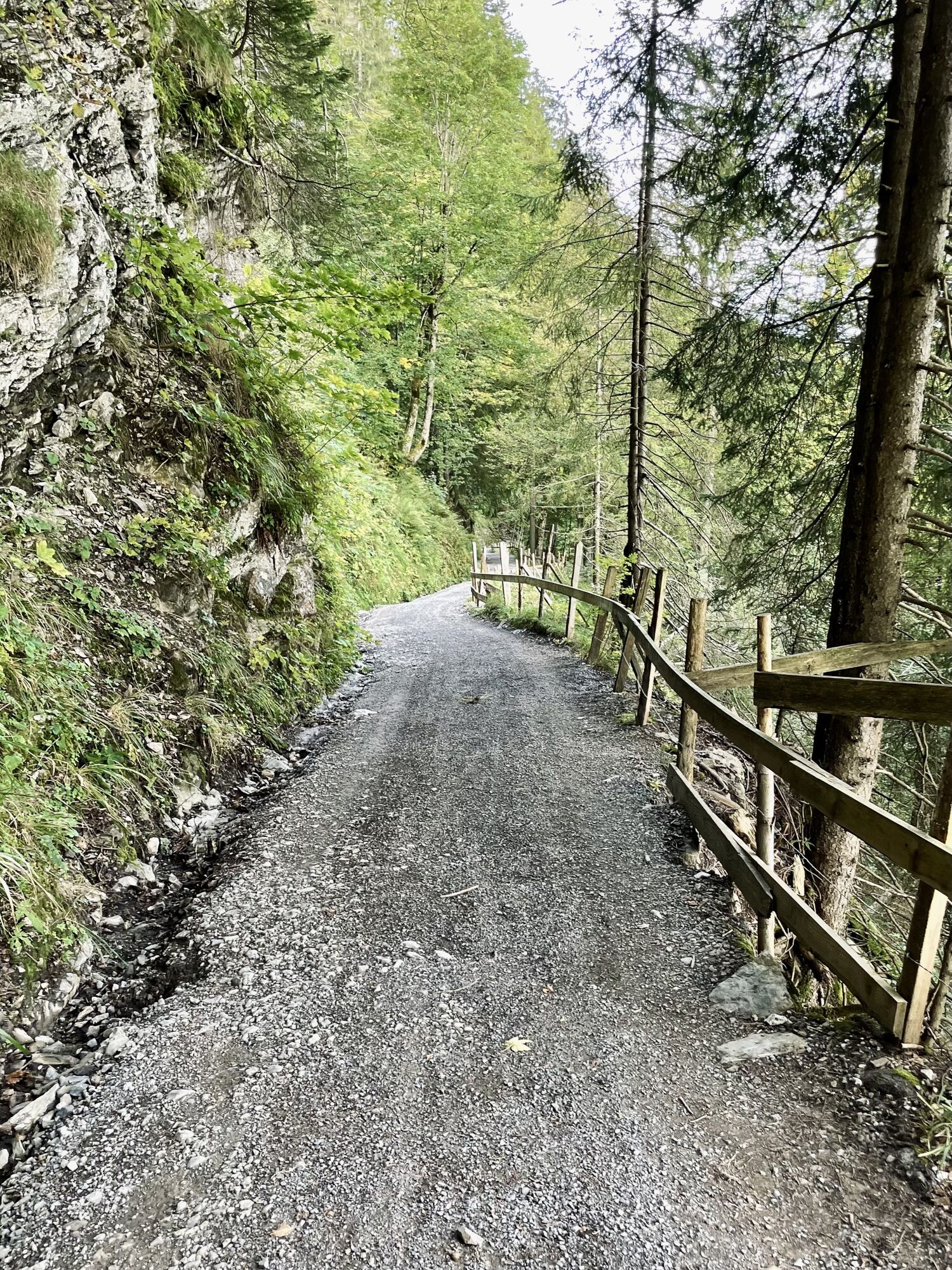
This richly varied tour starts at the lower terminus of the Schwyz/Schlattli-Stoos funicular railway. Riding into the Muota valley, you cross the river, after which you start an ascent that is long but not too steep. The Wissenwand road leads up to Alp Wannen through glorious tracts of woodland and past lush meadows.
The next section, consisting of a descent on unpaved lanes, features ever-changing views which merit stopping for now and then.
If you are not intending to end the tour at Stoos, you should begin at the Morschach-Stoos aerial cableway with the descent to the Nägelisgärtli restaurant, then return to Schlattli via Oberschönenbuch. This last section also offers numerous fine vantage points.
An den Stationen der Stoosbahnen ist der kostenlose Prospekt "Erlebniskarte Stoos" vorhanden, in dem die Tour eingezeichnet ist.
Rain jacket, drink & food.
You will have to dismount for a short while between Alp Wannen and Laubgarten (1620 m). Walkers may well be encountered on the descents, especially between Stoos and Morschach. The route is waymarked in one direction only.
Leave the motorway at the Schwyz exit and follow the signs for Stoos/Muotathal.
Take the train to Schwyz then the bus straight to the lower Stoos terminus (Route 501 to Muotathal, Hölloch).
There are enough parking spaces available at the bottom station of the funicular railway.
Tröligen alp dairyFronalpstock vantage pointLittle Stoos lake
Kamery internetowe z trasy
-
Handgruobi Talstation
-
Passhöhe Ibergeregg
-
Passhöhe Ibergeregg
-
Bergstation Brünnelistock
-
Bergstation Stägleren/Rotenflue
-
Stoos - Fronalpstock
-
Mythenpark
-
Stoos - Fronalpstock
-
Stoos - Fronalpstock
-
Stoos - Fronalpstock
-
Stoos - Fronalpstock
-
Stoos - Fronalpstock
-
Stoos - Fronalpstock
-
Stoos Dorf
-
Stoos Dorf
-
Stoos Dorf
-
Stoos Dorf
-
Stoos Dorf
-
Stoos - Fronalpstock
-
Stoos Dorf
-
Stoos Dorf
-
Brunnen am Vierwaldstättersee
-
Rotenflue
-
Schwyz
-
Morschach
-
Muotathal
-
Lipplis
-
Holzegg Bergstation
-
Laucherenstöckli
-
Rütliwiese

Popularne wycieczki w okolicy
-
4,6
Gratwanderung Klingenstock
światłoWędrówka 9,36 km -
4,6
Rundwanderung
światłoWycieczki górskie 12,9 km -
4,3
Mythenweg - Bergwanderung auf den Grossen Mythen
ciężkiWędrówka 3,40 km -
4,5
Kleiner Mythen
średniWędrówka 6,31 km -
4,5
Brunni-Feuerstellen-Rundwanderung
światłoWędrówka 11,5 km -
4,7
Mythen via Ibergeregg
średniWędrówka 9,73 km -
4,8
Holzegg - Grosser Mythen - Restaurant Grosser Mythen - Alpwirtschaft Brunnialp
średniWędrówka 5,66 km -
5,0
Wanderung entlang der Mythen, Alp "Zwüschet-Mythen"
średniWędrówka 10,5 km -
4,8
Rundwanderung: Alplersee - Rophaien - Spilauersee - Lidernenhütte
ciężkiWędrówka 15,5 km -
4,9
Brunni - Grosser Mythen - Restaurant Grosser Mythen - Alpwirtschaft Zwüschet Mythen
średniWędrówka 10,2 km

Wędrówki i tropienie


Nie przegap ofert i inspiracji na następne wakacje
Twój adres e-mail została dodana do listy mailingowej.





