






City-Countryside-Lake
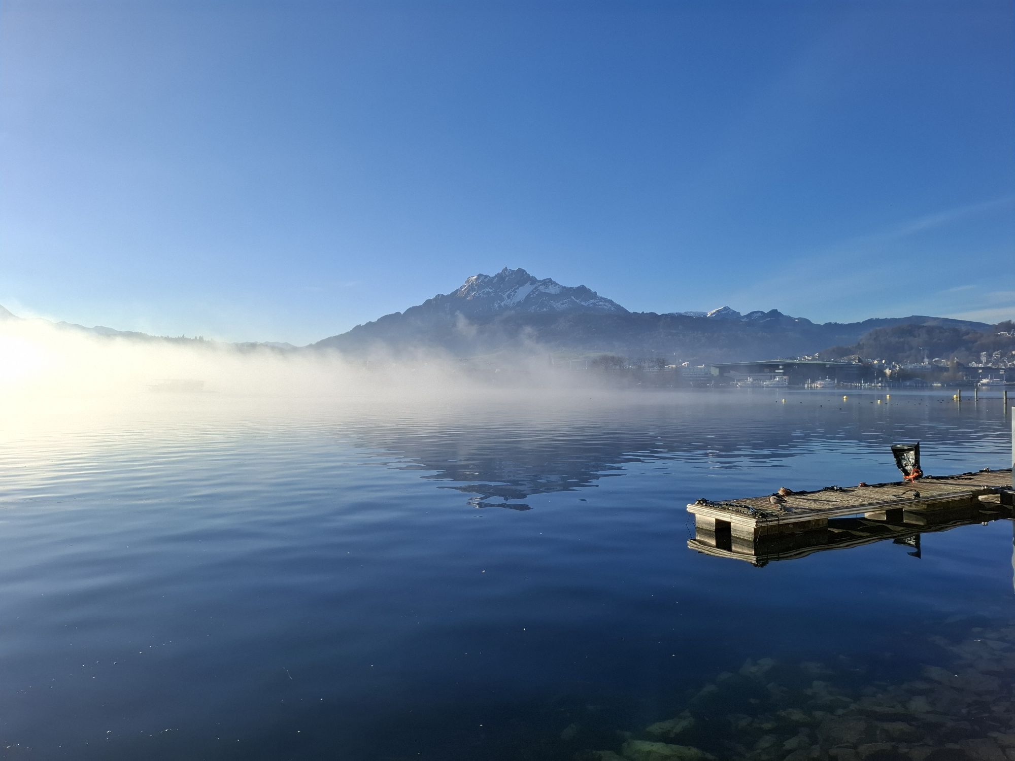
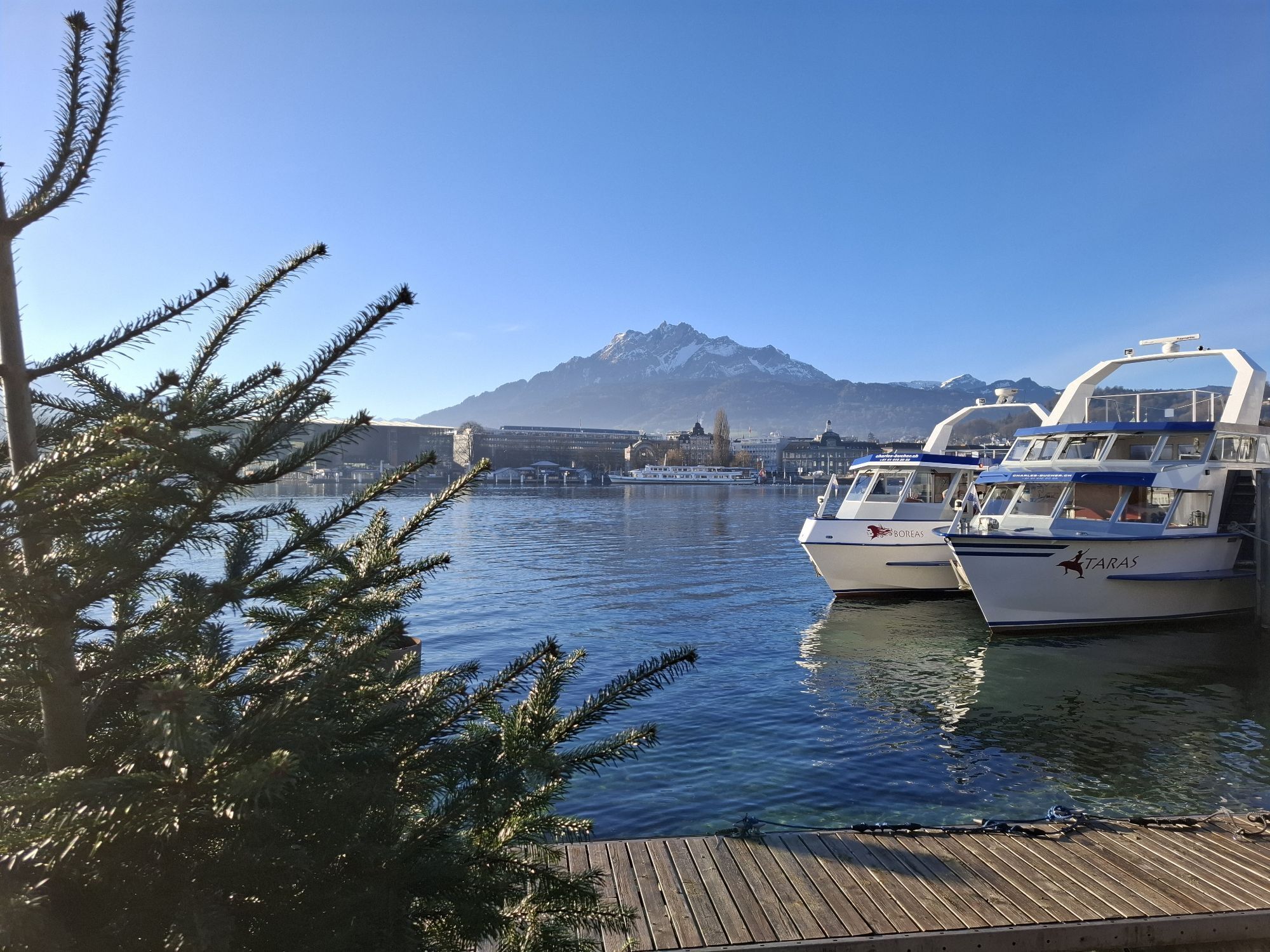
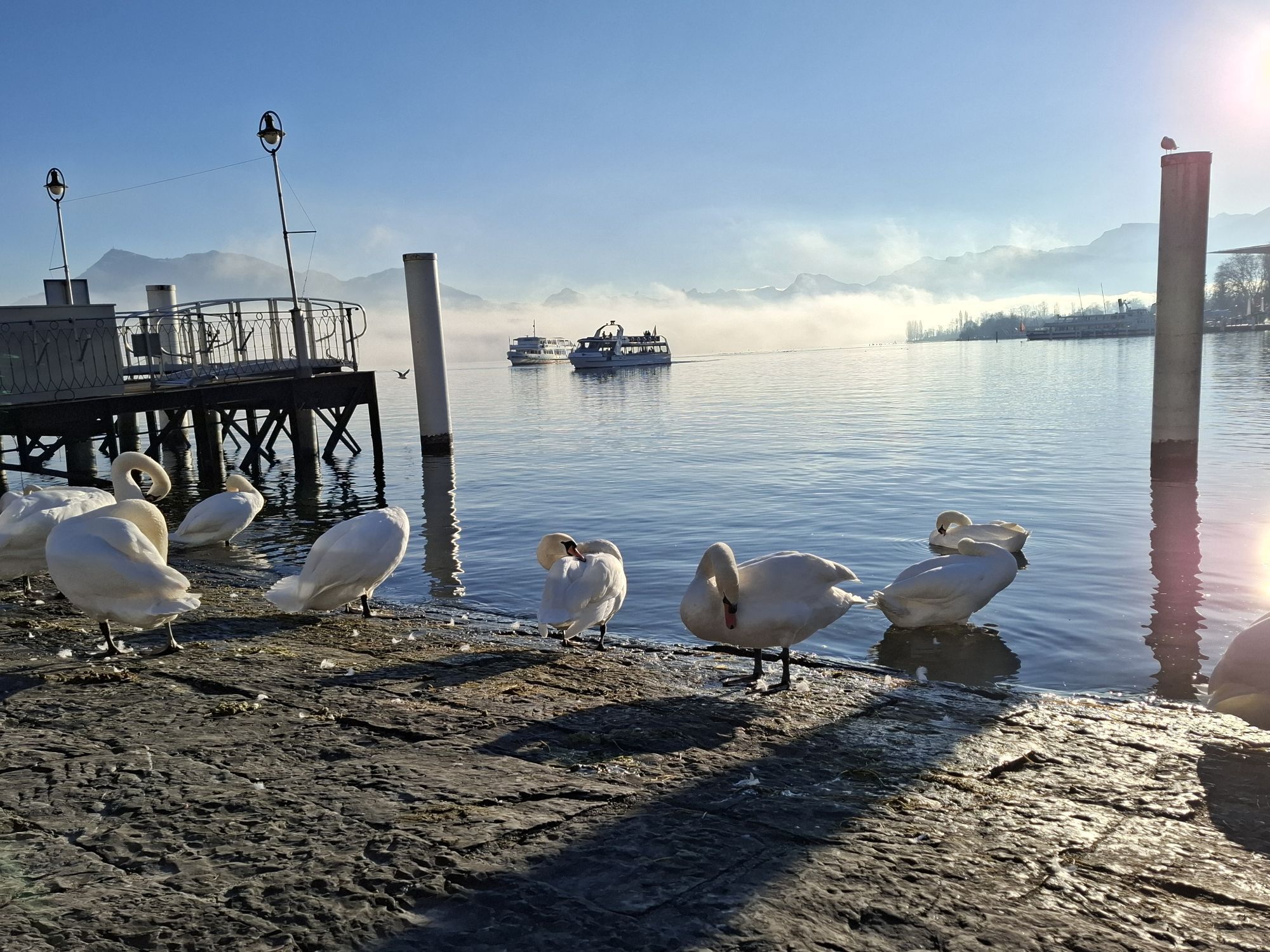
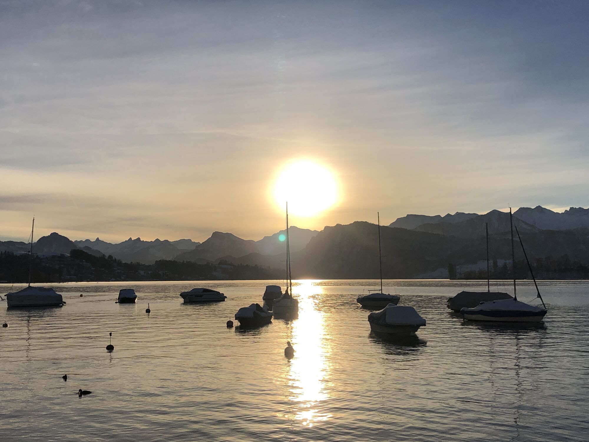
Starting at Schwanenplatz, we begin our evening route heading east. Along Haldenstrasse, there is time to warm up and admire the impressive hotel buildings. The road continues flat to the Dietschiberg...
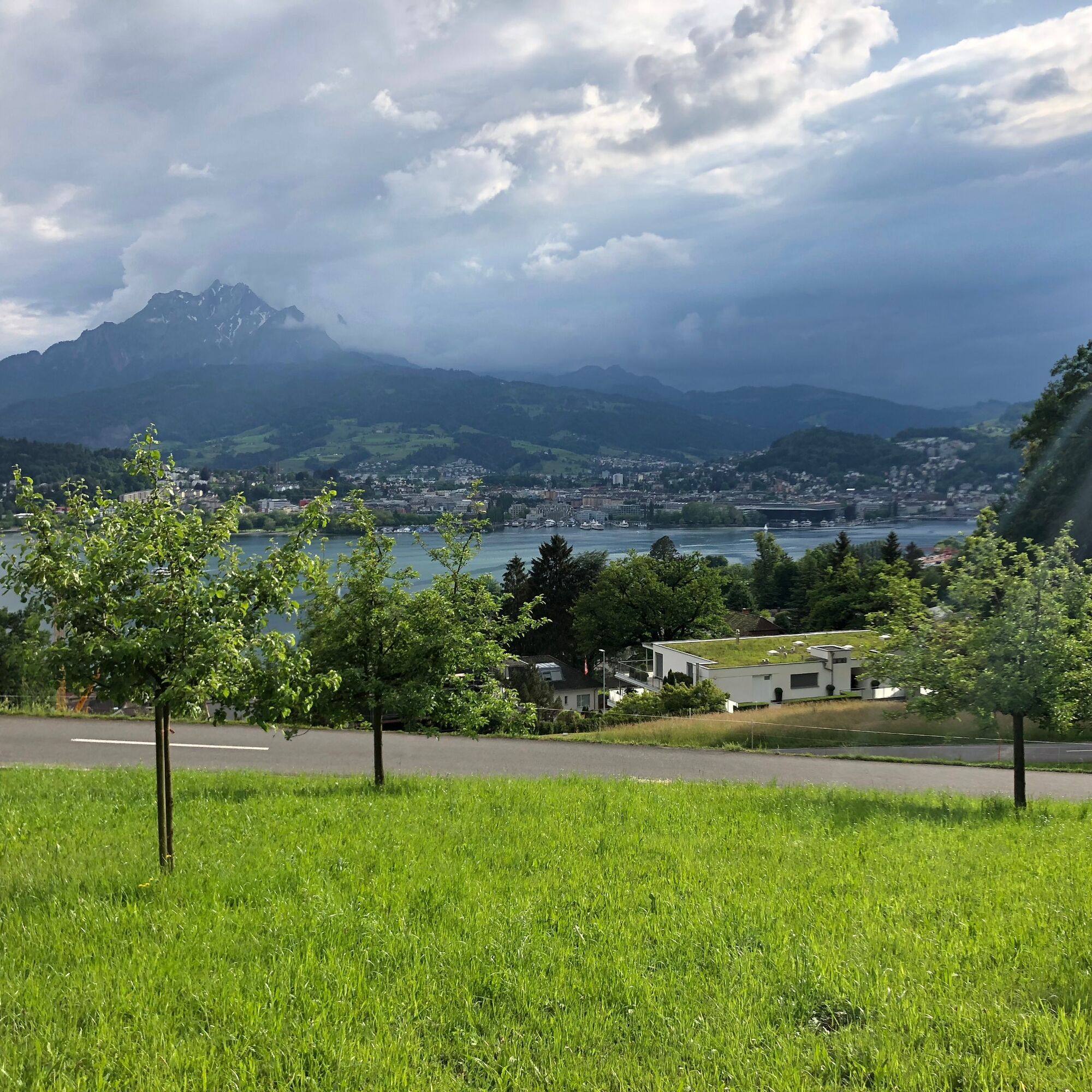
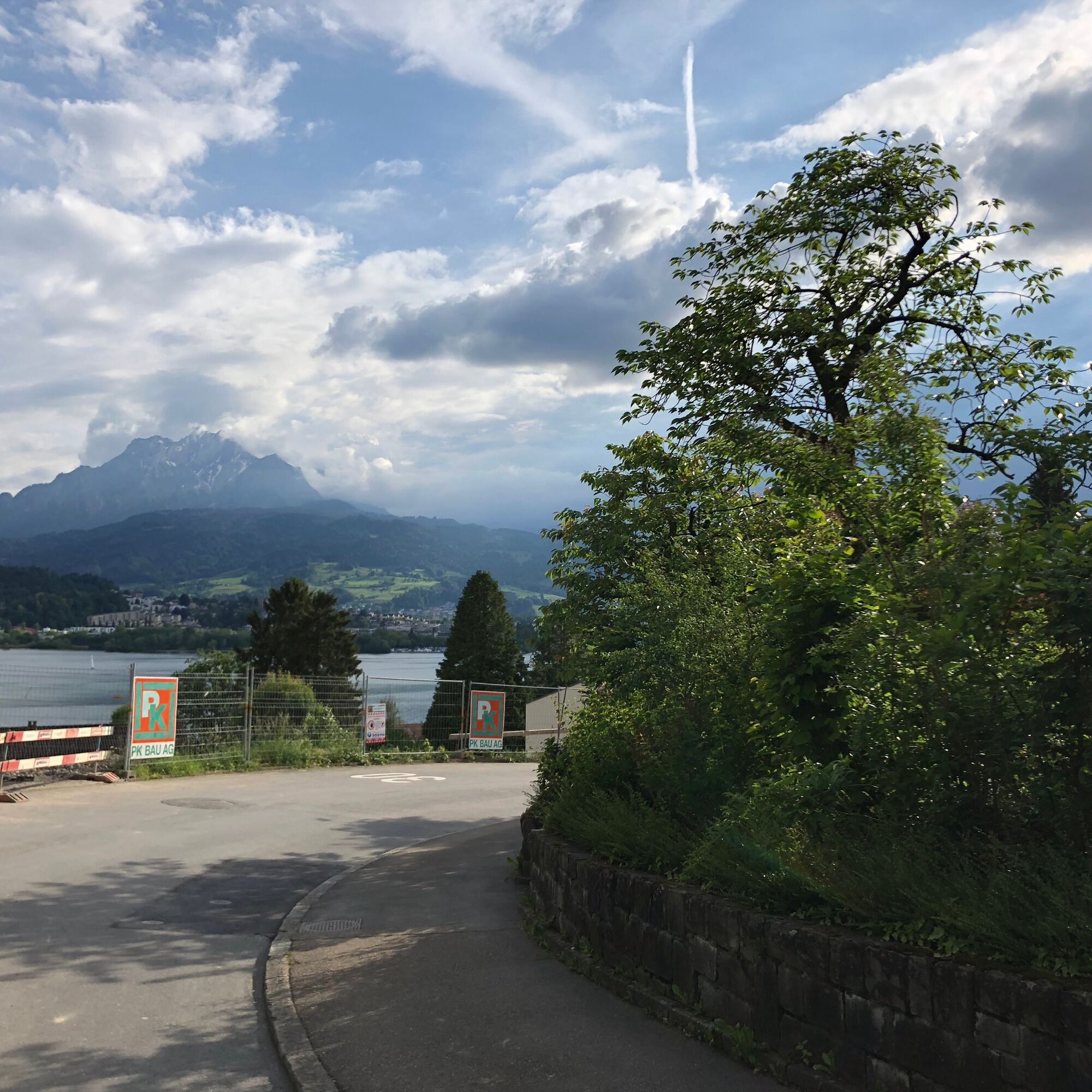
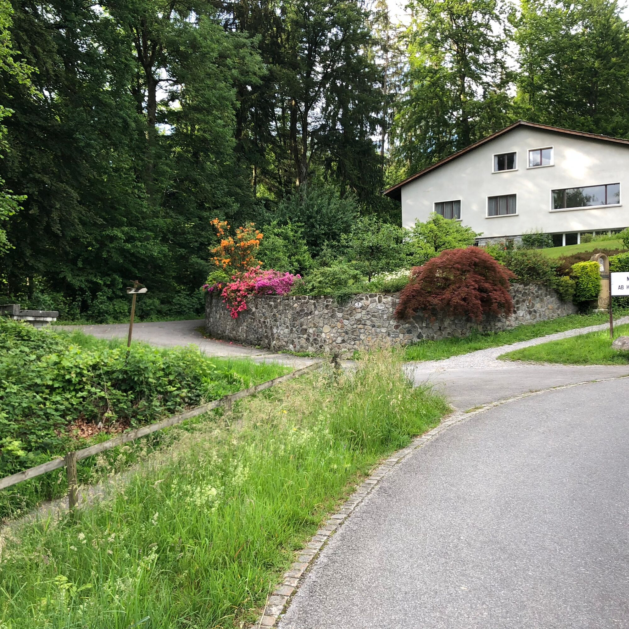
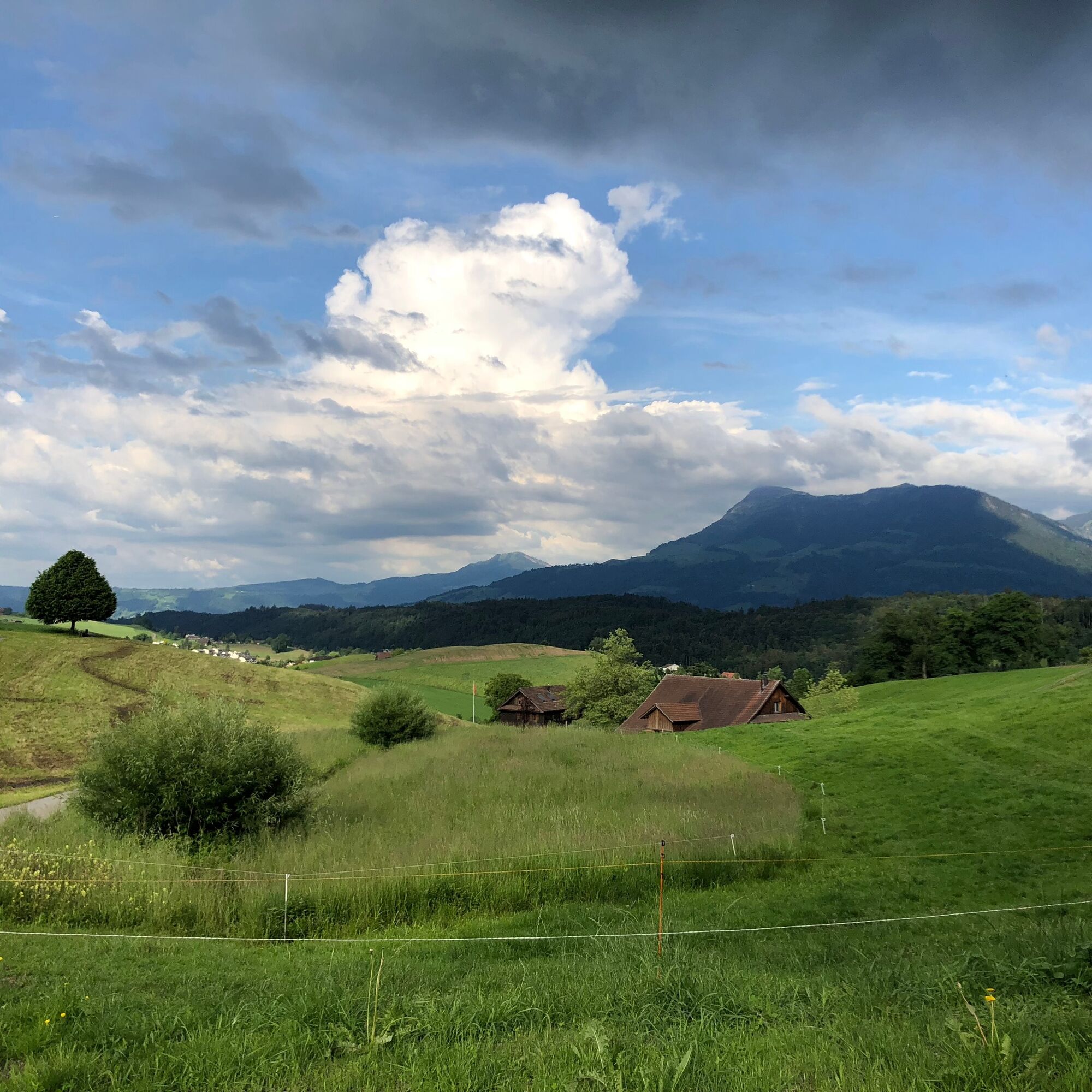
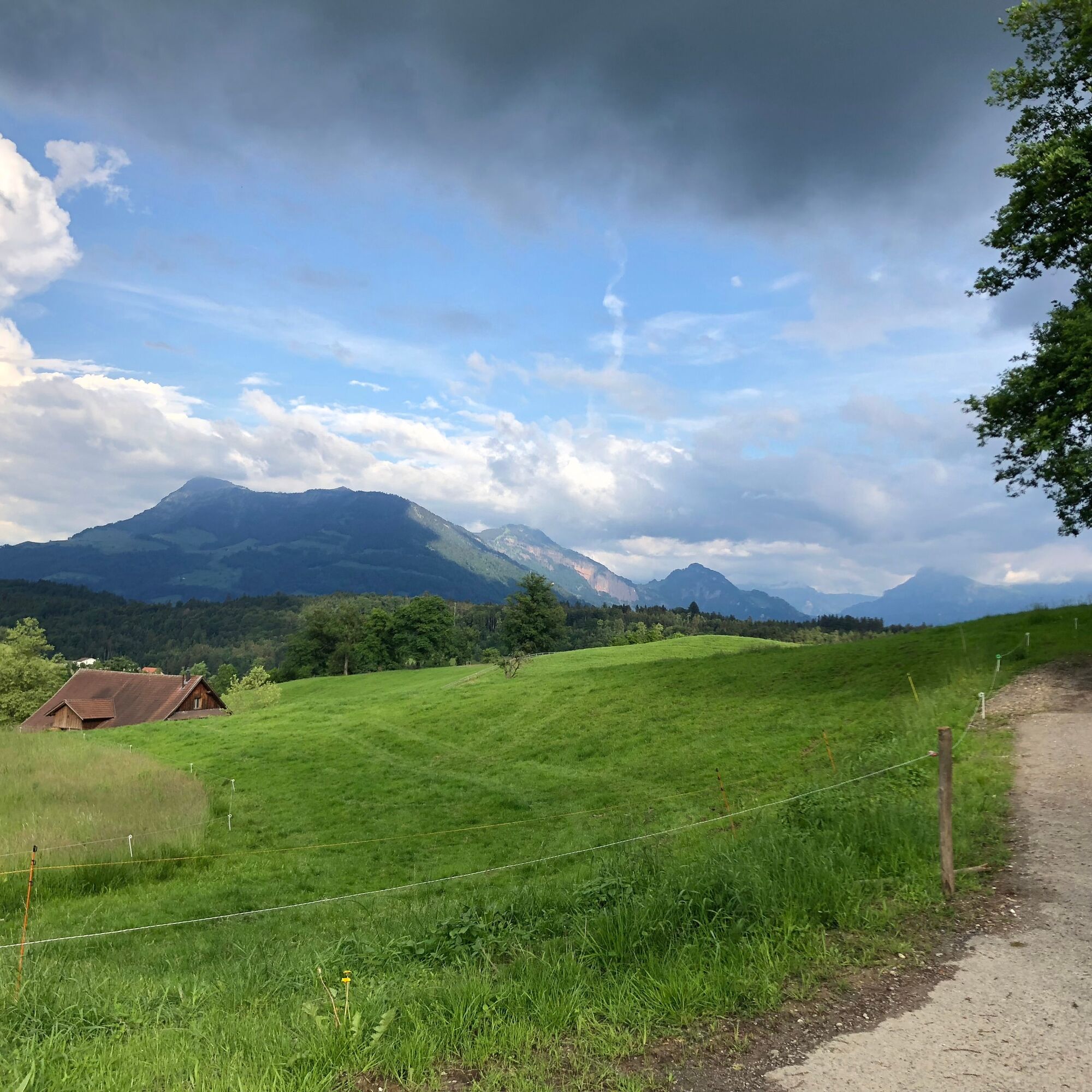
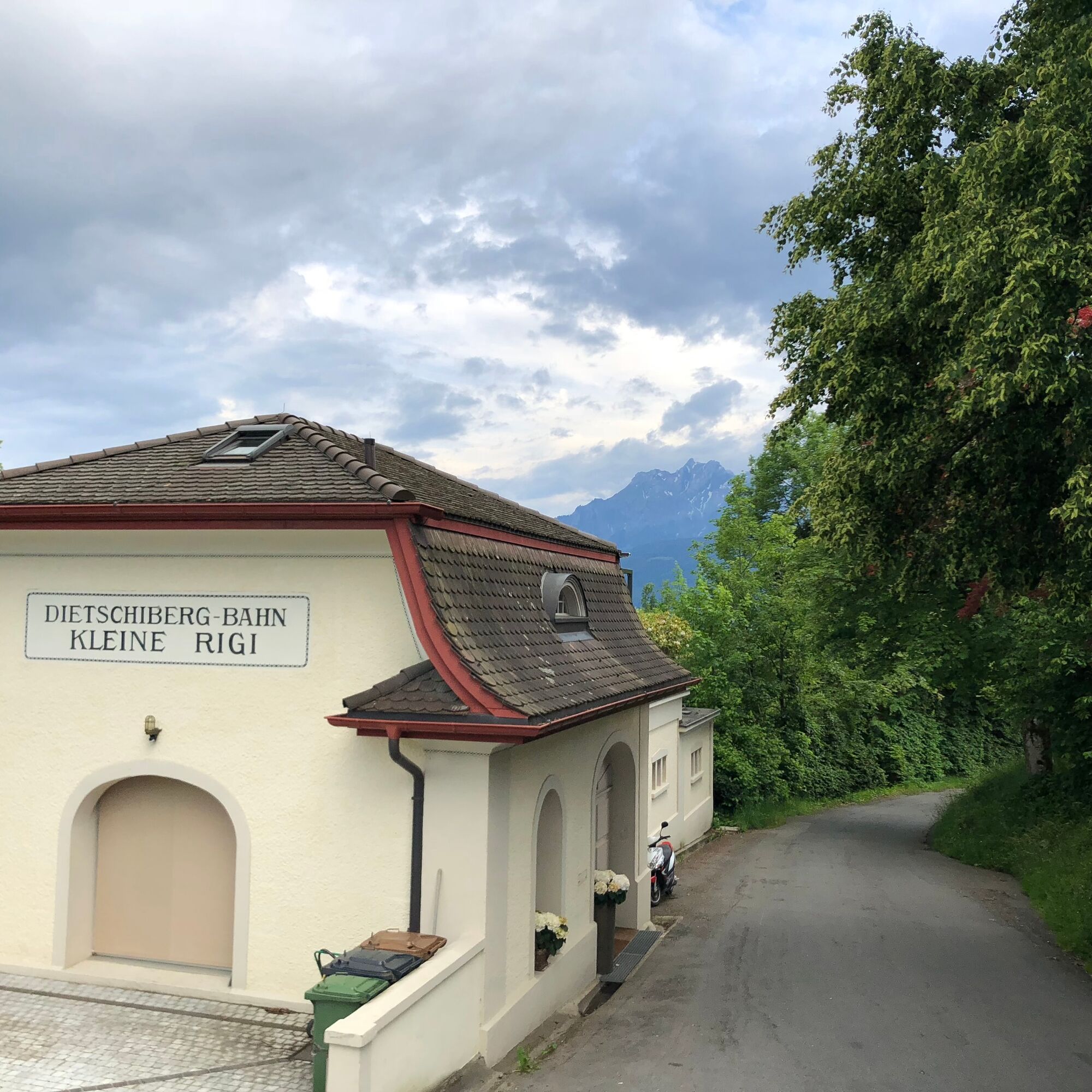
Starting at Schwanenplatz, we begin our evening route heading east. Along Haldenstrasse, there is time to warm up and admire the impressive hotel buildings. The road continues flat to the Dietschiberg railway crossing, where the valley station of the former Dietschiberg railway still stands. We will encounter the mountain station during the route. The road winds up the slope through the Bellerive district with its spacious properties and stately houses. At the Leumatt bus stop, we cross the main road and continue uphill on Gerlisbergstrasse. After the initially steep section, we keep left at the first hairpin bend and enter the forest. A glance back rewards us with the breathtaking panorama of the Central Swiss Alps. On a wide forest path, we continue gaining altitude until we reach a basin at the end of the wooded area. Before the Lindenfeldweid farm, we turn right and pedal strongly again to soon enjoy the panorama of the Central Swiss Alps once more: Rigi, Bürgenstock, Buochserhorn, Brisen, Titlis, Stanserhorn, and Pilatus, to name just the most famous, rise impressively behind Lake Lucerne.
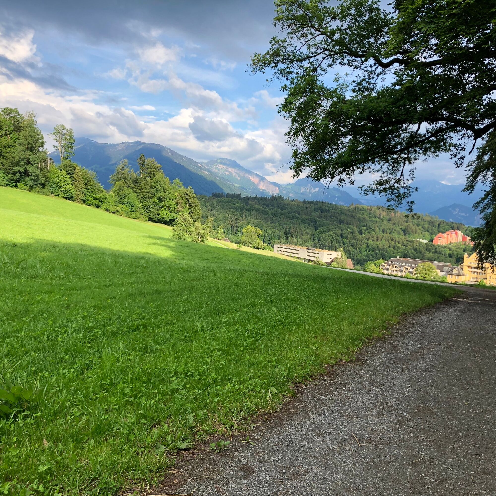
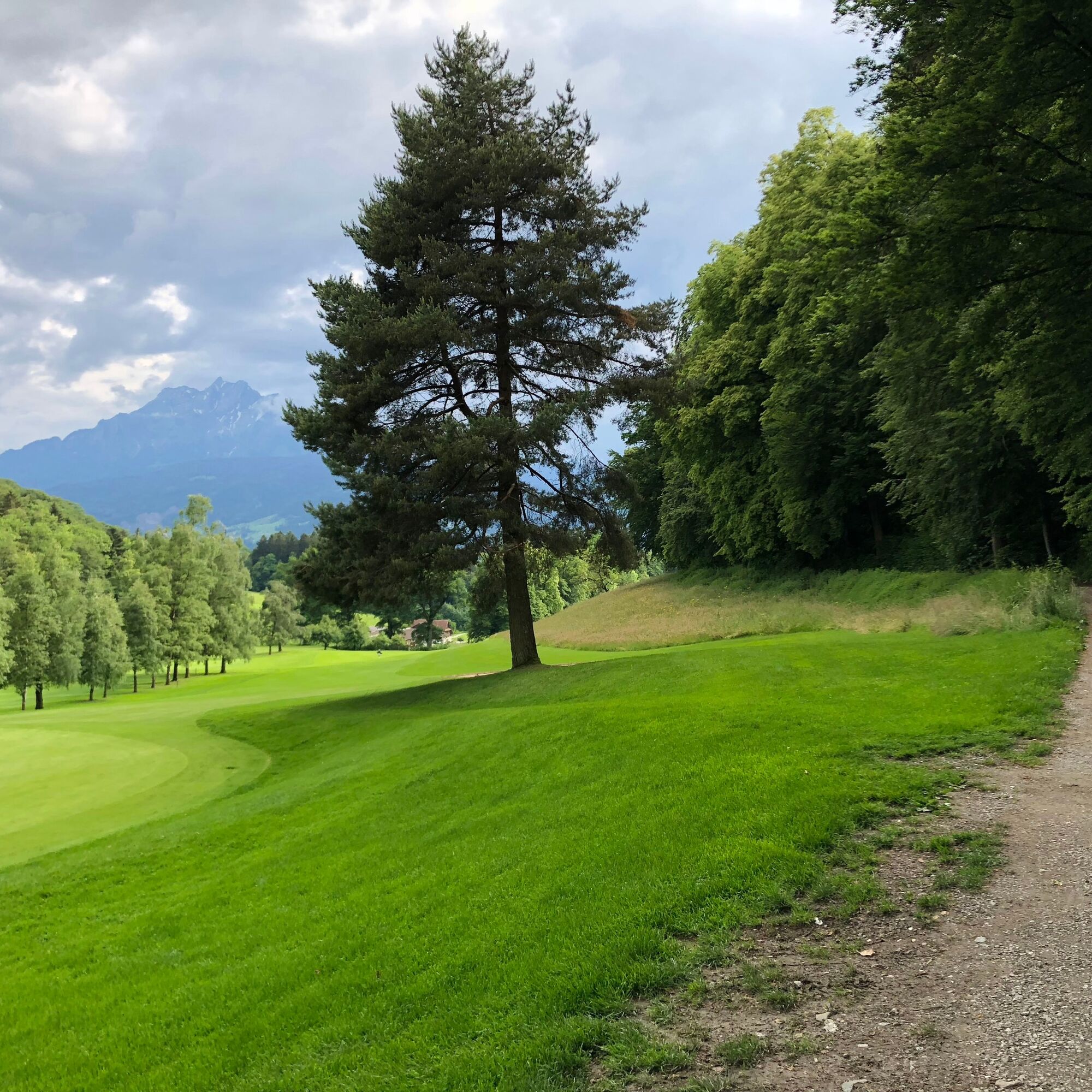
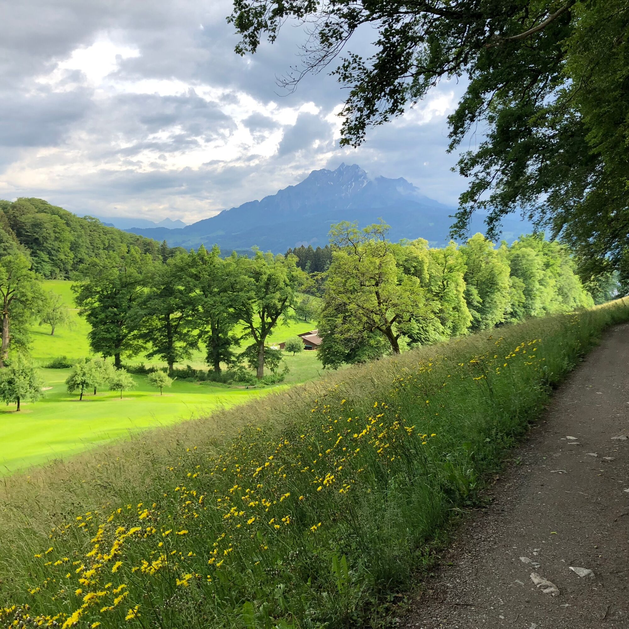
Once more, we enter a forest section; the constant changes between meadow and forest will accompany us throughout the tour. This applies also to the next section, where we ride along the golf course at Dietschiberg and, with some luck, can admire the slowly setting sun over the Napf. At the end of the gravel path, we reach the former mountain station of the Dietschiberg railway. The railway transported passengers from 1912 to 1978 up to the "Little Rigi," the house mountain of Lucerne.
On the subsequent descent, it’s worth stopping briefly to enjoy the unique view of the city, the lake basin, and Pilatus. To the north and west, we see the hill ranges of the Napf as well as Lake Sempach and the Seetal valley. A visit to these areas is highly recommended, whether by two wheels or as a day trip.
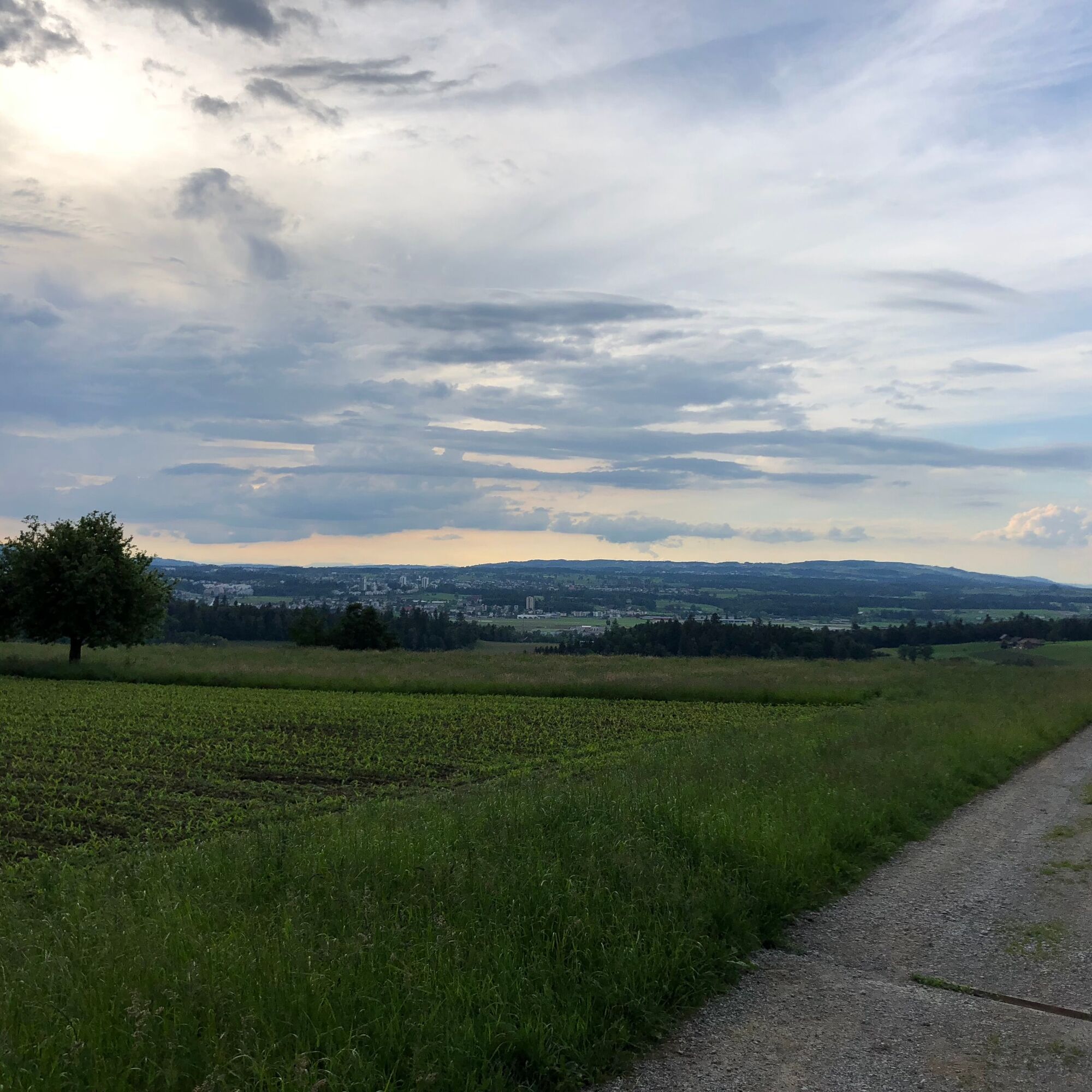
Above the "Schlössli Utenberg," we turn right and after a short dip gain some altitude again. From the now reached height, we enjoy an impressive view northwards into the hilly landscape of the canton of Lucerne. With some luck, the first Jura foothills can even be seen far to the north. Focusing on the nearby surroundings, we overlook the suburban communities to the north of Lucerne.
We continue our ride and shortly after pass through a small forest into the Wesemlin district. Passing the monastery of the same name, we ride via the Lion Monument to Löwenplatz with the Bourbaki Panorama. Those interested in history can stop here and visit the impressive panoramic painting from 1881, which depicts scenes from the Franco-Prussian War and the first use of the Red Cross.
Those who prefer a cool drink will find the right place on the ground floor of the building. The cozy bar practically invites you in.
On the way back to Schwanenplatz, we tackle a short climb to the Musegg schoolhouse again. The massive building somewhat hides the view of the Musegg wall, but we do catch one or two views of the city wall. Through the old town, we finally return to the starting point at Schwanenplatz.



Luzern Schwanenplatz - Haldenstrasse - Dietschiberg - Schloss Utenberg - Luzern Schwanenplatz
From the A2 motorway, follow the signage towards Luzern Lake or Verkehrshaus
Take the train to Luzern station and follow the signage across the lake bridge towards the Verkehrshaus. From the Schwanenplatz, you are already on the route.
Parking at the Verkehrshaus
Schweizerhof parking garage
Löwencenter parking garage
Viewpoint above Schlössli Utenberg with magnificent views of the city and surroundings.
 Uzyskaj wgląd
Zawsze na żywo z ponad 9 500 kamer internetowych. bergfex Jako użytkownik Pro, możesz teraz zobaczyć odpowiednie kamery internetowe dla wielu wycieczek w aplikacji wycieczki od. Pozwala to na bezpośredni podgląd aktualnych warunków.
Uzyskaj wgląd
Zawsze na żywo z ponad 9 500 kamer internetowych. bergfex Jako użytkownik Pro, możesz teraz zobaczyć odpowiednie kamery internetowe dla wielu wycieczek w aplikacji wycieczki od. Pozwala to na bezpośredni podgląd aktualnych warunków.
Popularne wycieczki w okolicy
-
4,7
Stanserhorn
światłoWędrówka 17,9 km -
3,9
Rundweg Seebodenalp Küssnacht am Rigi, Schweiz
średniWędrówka 9,56 km -
4,4
Seebodenalp Panoramaweg
światłoWędrówka 5,25 km -
4,8
Rigi Kulm von Vitznau aus
średniWędrówka 17,6 km -
4,8
Home-Rigi Kulm-Home
średniWędrówka 18,6 km -
4,9
Pilatus Châlet - Esel - Oberhaupt - Hergiswil NW
ciężkiWędrówka 17,2 km -
5,0
Kleine Rigi Runde🥾🏔
średniWędrówka 14,0 km -
5,0
Eigenthal --Pilatus
średniWędrówka 13,6 km -
4,5
Eigenthalerhof - Chräigütsch - Holderchäppeli - Eigenthalerhof
światłoWędrówka zimą 6,38 km -
3,5
Logenplatz über dem Vierwaldstädter See
średniVia ferrata 8,87 km
Wędrówki i tropienie


Nie przegap ofert i inspiracji na następne wakacje
Twój adres e-mail została dodana do listy mailingowej.





