


Via Francisca - From Samolaco to Sorico
Poziom trudności: T2
Zdjęcia naszych użytkowników
-

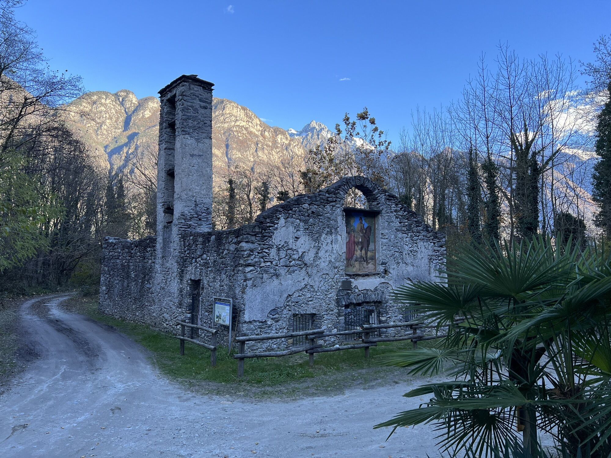
 © Natale MaffiolettiUtworzono dnia 22.11.2023
 -
 © Natale MaffiolettiUtworzono dnia 22.11.2023
 -
 © Natale MaffiolettiUtworzono dnia 22.11.2023
 -
 © Natale MaffiolettiUtworzono dnia 22.11.2023
 -
 © Natale MaffiolettiUtworzono dnia 22.11.2023
 -
 © Natale MaffiolettiUtworzono dnia 22.11.2023
 -
 © Natale MaffiolettiUtworzono dnia 22.11.2023
 -
 © Natale MaffiolettiUtworzono dnia 22.11.2023
 -
 © Natale MaffiolettiUtworzono dnia 22.11.2023
 -
 © Natale MaffiolettiUtworzono dnia 22.11.2023
 -

 © Gio58Utworzono dnia 22.04.2026
 -
 © fschwarzenbergerUtworzono dnia 29.07.2025
 -
 © fschwarzenbergerUtworzono dnia 29.07.2025
 -
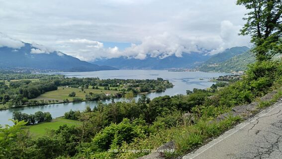 © Gio58Utworzono dnia 13.05.2025
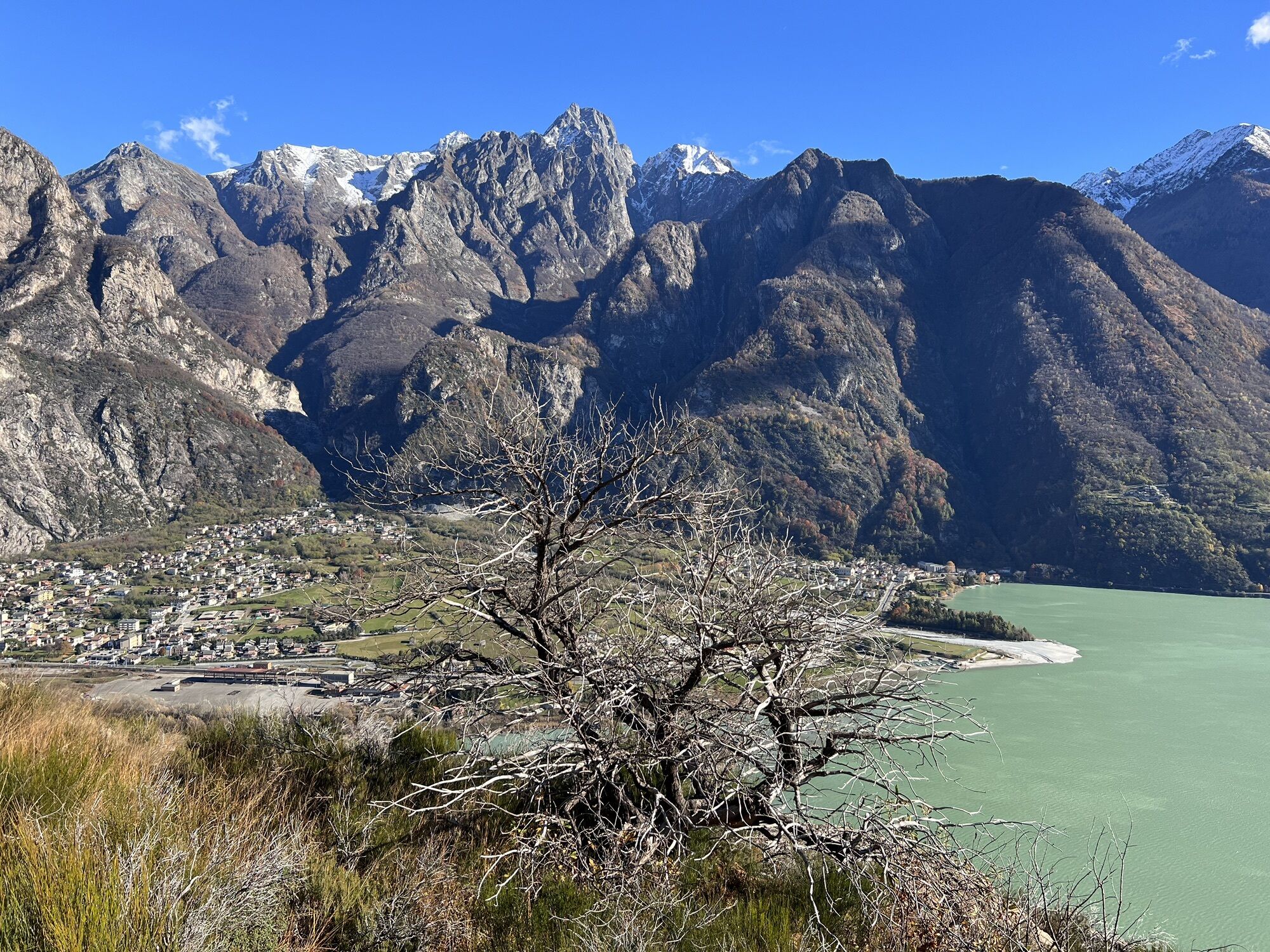

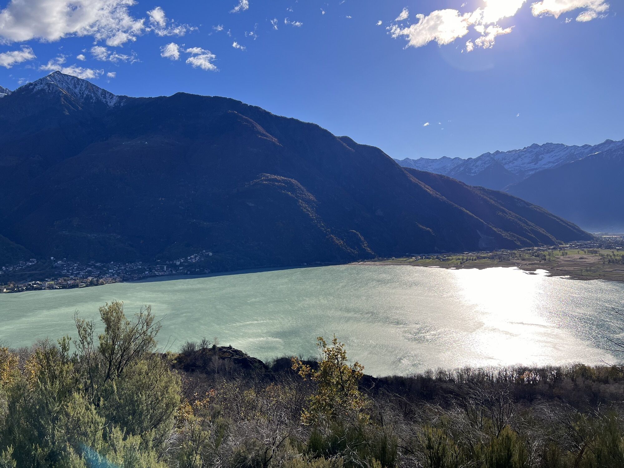
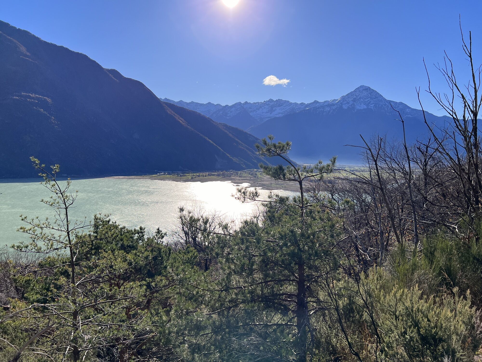

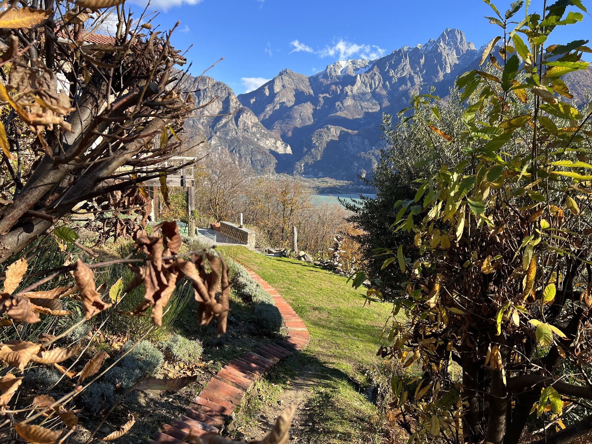


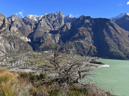
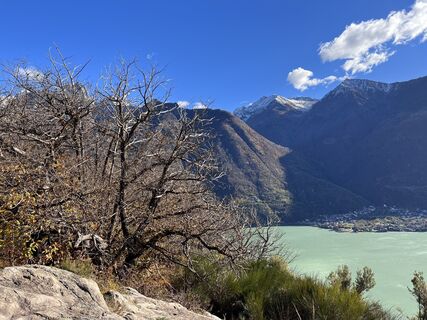
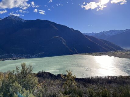
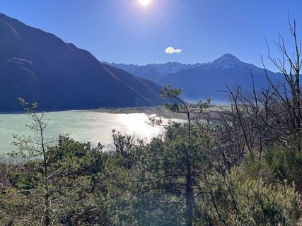
Stage 2 - From Samolaco to Sorico
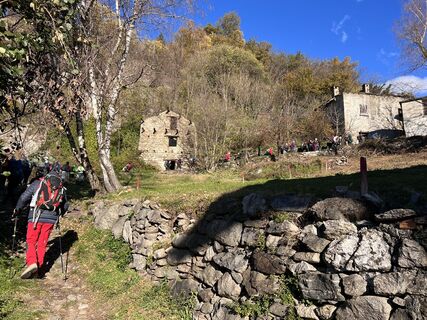
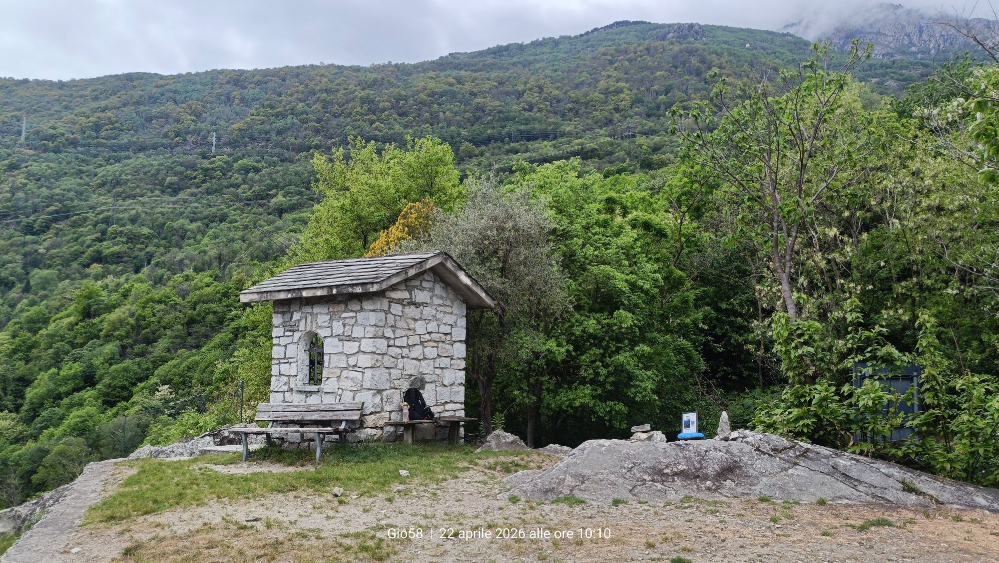
From the hamlet of Era we follow the paved road that climbs to Fontanedo, just before a hairpin bend we take a path that leads briefly to Casenda. We cross the bridge...
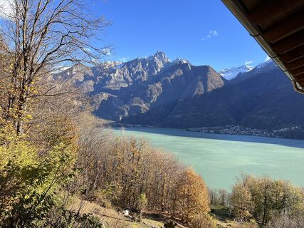
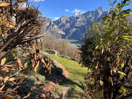
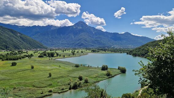
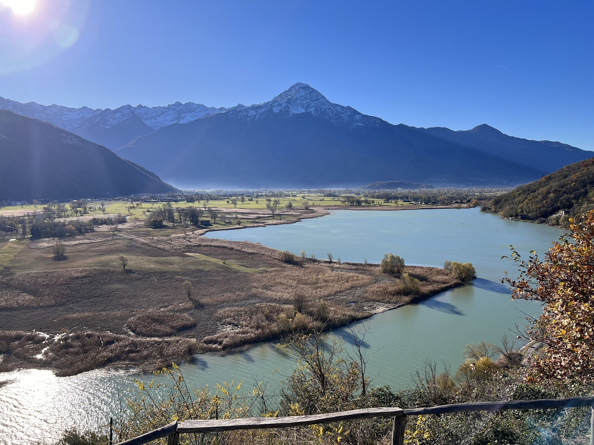
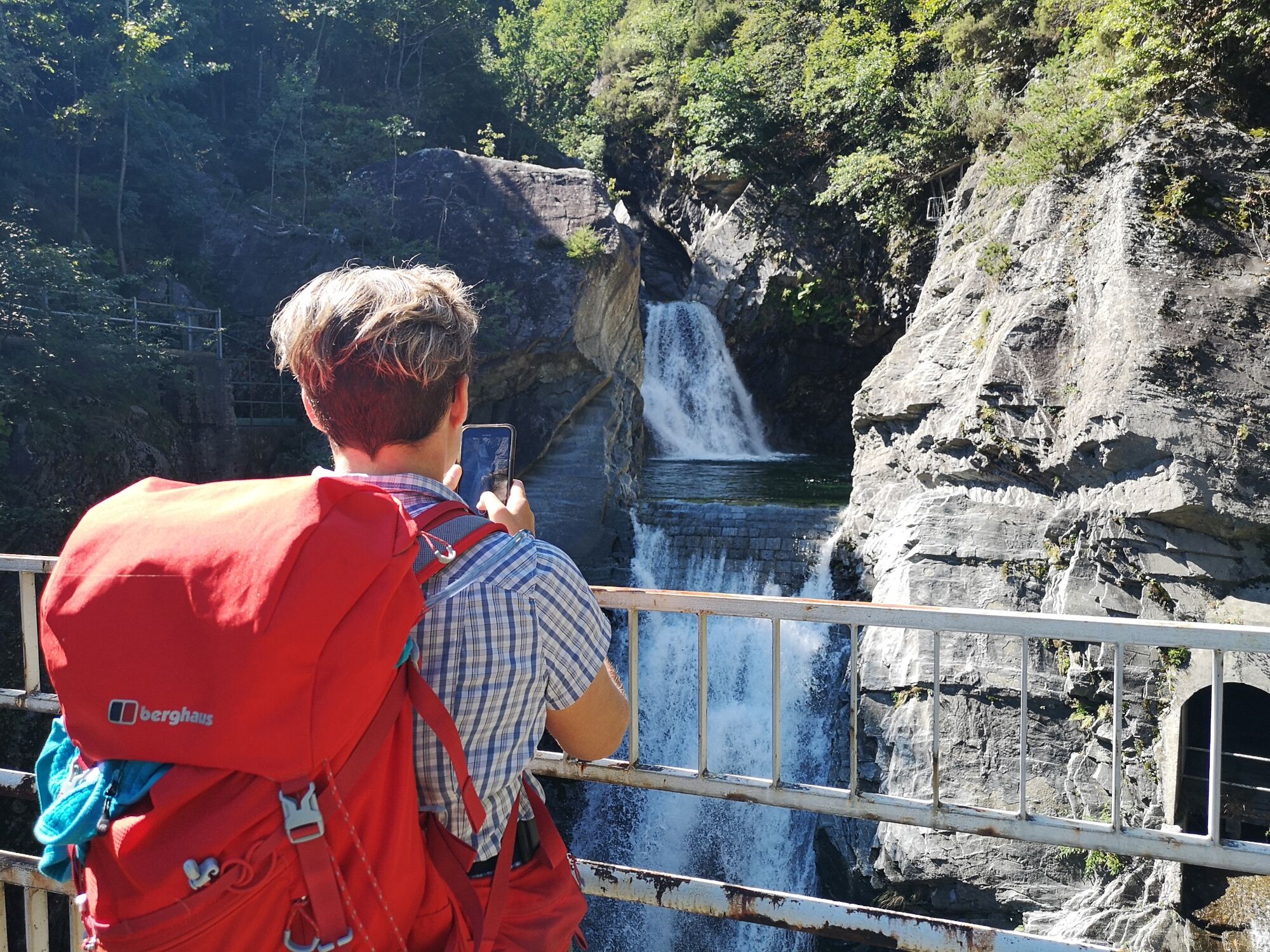
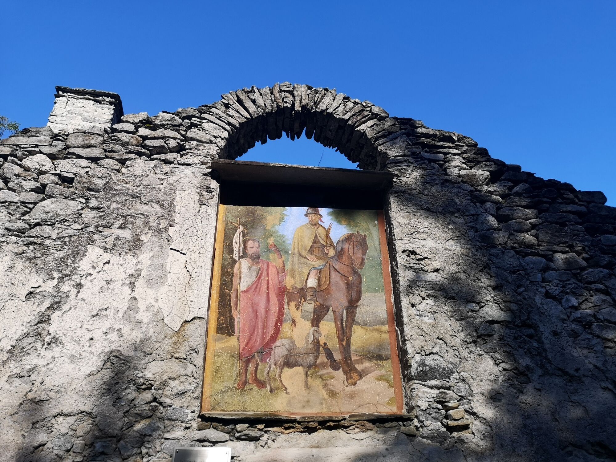
From the hamlet of Era we follow the paved road that climbs to Fontanedo, just before a hairpin bend we take a path that leads briefly to Casenda. We cross the bridge over the stream of the same name until we reach the village of Vigazzuolo. On a dirt road we continue toward the church of San Giovanni all'Archetto and on a path we descend toward the Mera River. We pass the Porta valley and then the Della Francesca furrow to climb to the Alpe di Teolo.
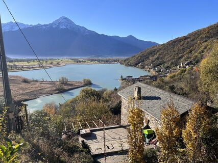
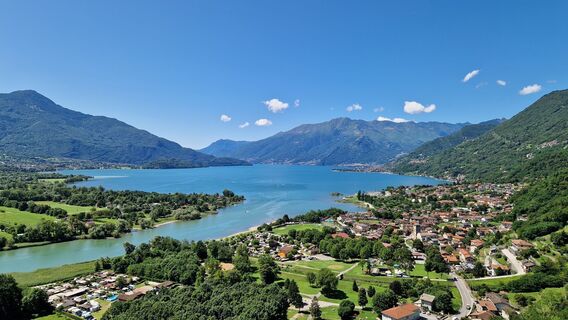
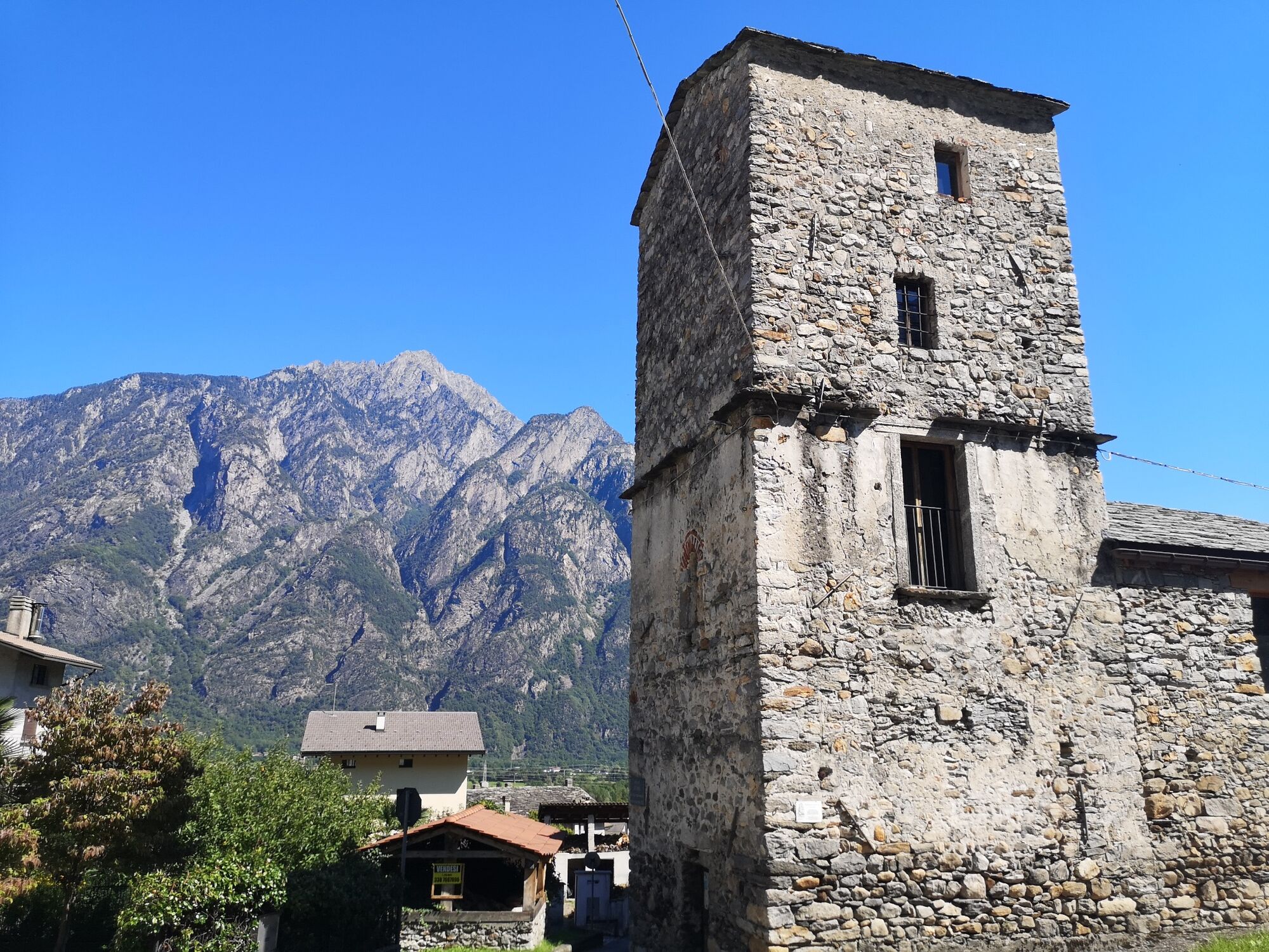
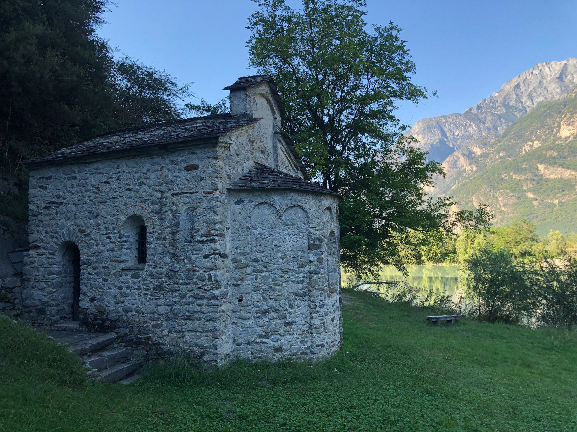
At the fork that descends on the left to San Fedelino we continue keeping to the right on a steep ascent arriving at the Brentaletto hump and the beginning of the descent that leads to the Dascio rock and the town. We cross Dascio along Via Bruga and continue along the mule track to the paved road that leads to Prati Meriggi. Having passed La Masina locality at the last hairpin bend we continue straight on the mule track that leads to the Torre Nuova di Sorico and into the village center.

T2
Popularne wycieczki w okolicy
-
4,8
Monte Legnone- höchste gipfel der Comer See
średniWędrówka 11,6 km -
5,0
Bocchetta Graglio Impressionante
średniWędrówka 8,85 km -
5,0
Monte Berlinghera da San Bartolomeo
średniWędrówka 8,74 km -
5,0
S‘Euphemia-Runde von Dongo nach Musso
światłoWędrówka 9,67 km -
Acqua Fraggia waterfall scenic loop - Savogno
światłoWędrówka 3,44 km -
5,0
Hike in Val Codera Novate - Rifugio Brasca ( Sentiero Roma first stage)
średniWędrówka 10,7 km -
5,0
Berg und See „at it’s best“
średniWycieczki górskie 6,59 km -
4,0
Abbazia cistercense di Santa Maria di Piona da Olgiasca, Colico, Lombardia/Italia
światłoWędrówka 5,76 km -
5,0
Val Codera
średniWędrówka 13,6 km -
4,0
Von Livo nach Alpe Motta
średniWycieczki górskie 12,3 km
Wędrówki i tropienie


Nie przegap ofert i inspiracji na następne wakacje
Twój adres e-mail została dodana do listy mailingowej.