







Garzonedo in the Aurosina Valley
Poziom trudności: T3
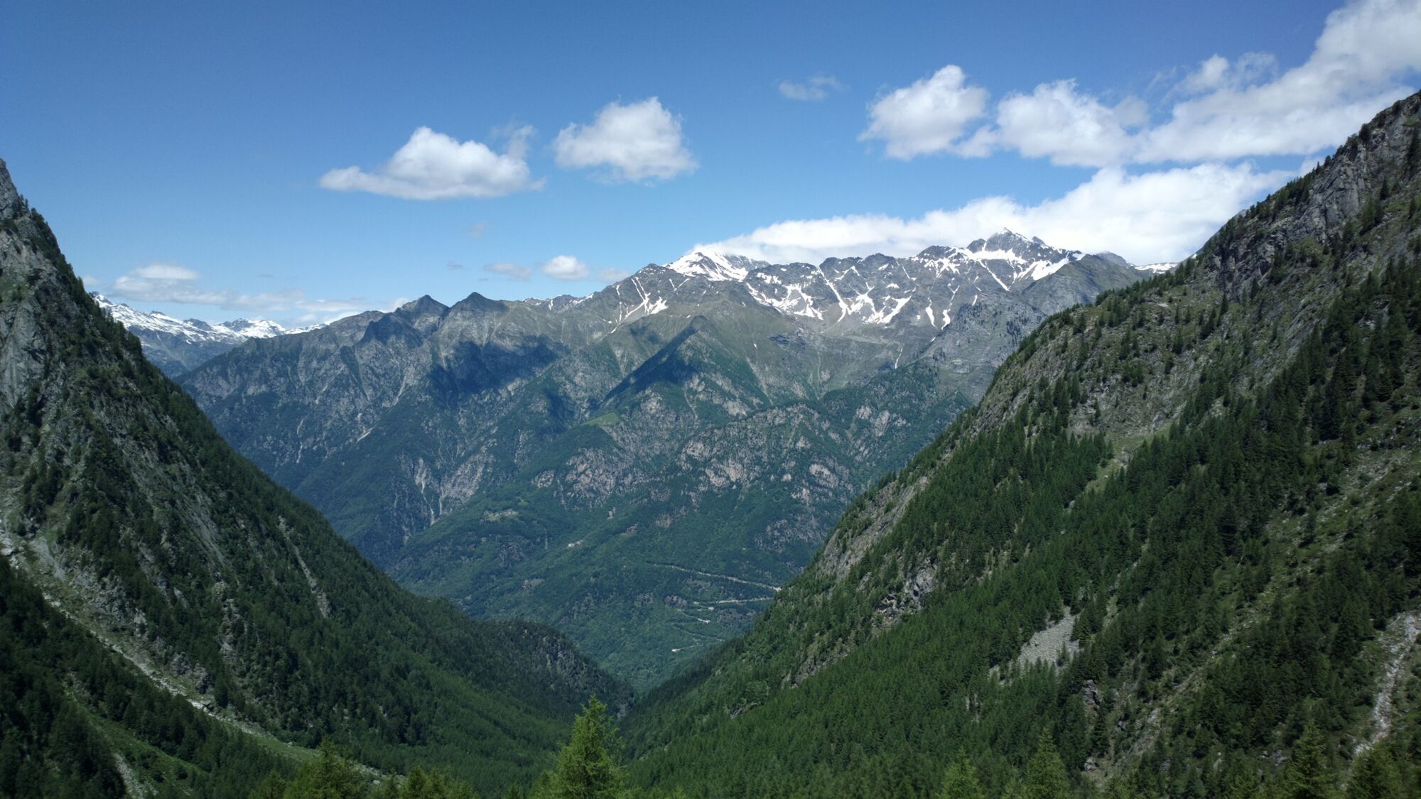
Its difficult geographical conformation, combined with a particularly rich nature, have preserved this stupendous ravine from human action over the years. Impossible not to be captivated by such wild beauty....
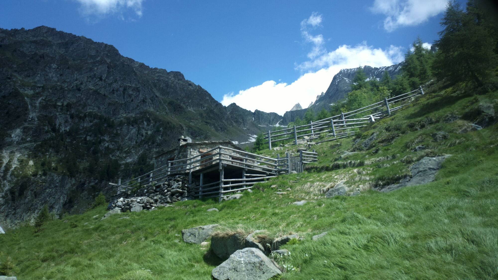
The bivouac is equipped to accommodate up to eight beds, has a few blankets and a small heater connected to the gas cylinder. It is designed to provide overnight shelter for those who travel long distances on foot or for those caught in a blizzard or stranded in a violent thunderstorm. There are no food supplies, and water, should guests lack it, must be drawn from a nearby stream.
There are several routes that reach Garzonedo.
The most direct is the one that from Santa Croce di Piuro, climbs torturously up to the 1943 meters of the bivouac.For those moving by car, it is possible to leave the vehicle in one of the parking lots in the hamlet, following on foot the signs for Crotto Quartino. From here, continue on the path up the narrow gorge through which the Aurosina stream flows. The starting elevation is about 500m.
The first stop is the nucleus of Tabiadascio at about 1250m elevation. Once past the edge of the forest, it becomes essential to maintain contact with the red and white pass markers. The climb gets tough and gradually, following the repeated switchbacks, you reach Garzonedo, where the bivouac is located, visible thanks to the double red-white coloring on the entrance door. From the bivouac one can head toward Bocchetta di Scilano, at almost 2200 meters above sea level. Alternatively, one can pass by Lago del Grillo, returning to the valley from Uschione, in the municipality of Chiavenna. For any information, it is advisable to make contact with local mountain guides.

follow the SS37 towards Maloja
For schedules https://www.stps.it/
For those moving by car, it is possible to leave the vehicle at one of the parking lots in the hamlet, following the signs to Crotto Quartino on foot.
T3
Popularne wycieczki w okolicy
-
4,5
Monte Berlinghera da San Bartolomeo
średniWędrówka 8,74 km -
5,0
Acqua Fraggia waterfall scenic loop - Savogno
światłoWędrówka 3,44 km -
5,0
Hike in Val Codera Novate - Rifugio Brasca ( Sentiero Roma first stage)
średniWędrówka 10,7 km -
4,0
Ciclabile Valchiavenna
światłoJazda na rowerze 37,5 km -
3,0
Zu der Albignahütte
średniWędrówka 10,5 km -
5,0
Val Codera
średniWędrówka 13,6 km -
5,0
Sentiero Roma in Val Masino
ciężkiWędrówka 33,8 km -
5,0
Casaccia nach Soglio
średniWędrówka 14,5 km -
5,0
Chiavenna - Cranna - Borgonuovo di Piuro - Chiavenna Ring
średniWędrówka 8,93 km -
Casaccia nach Soglio, Bregaglia Tal, Schweiz
ciężkiWędrówka 20,2 km
Wędrówki i tropienie


Nie przegap ofert i inspiracji na następne wakacje
Twój adres e-mail została dodana do listy mailingowej.





