



The Thirteen Peaks Traverse

Poziom trudności: T6
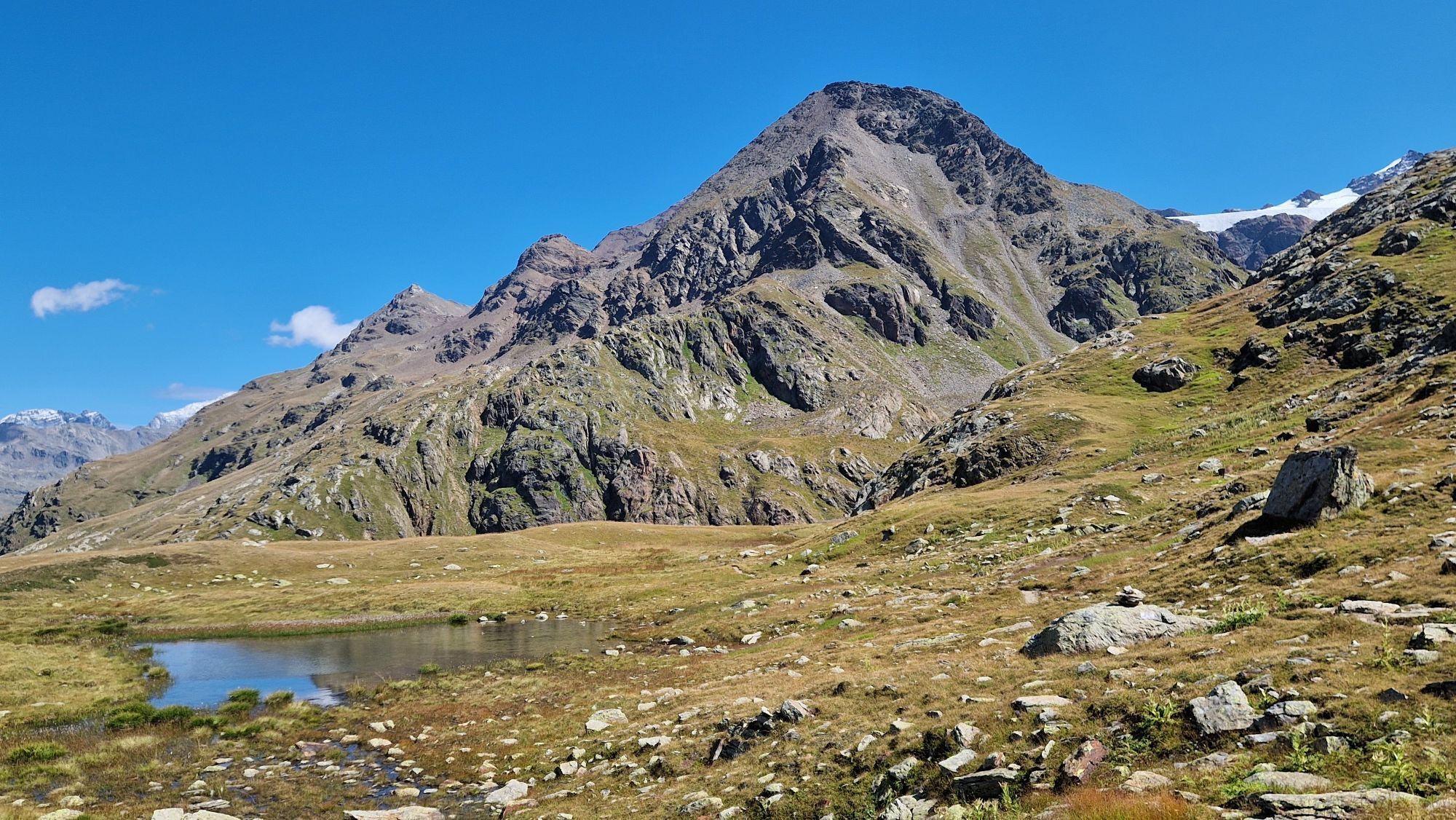
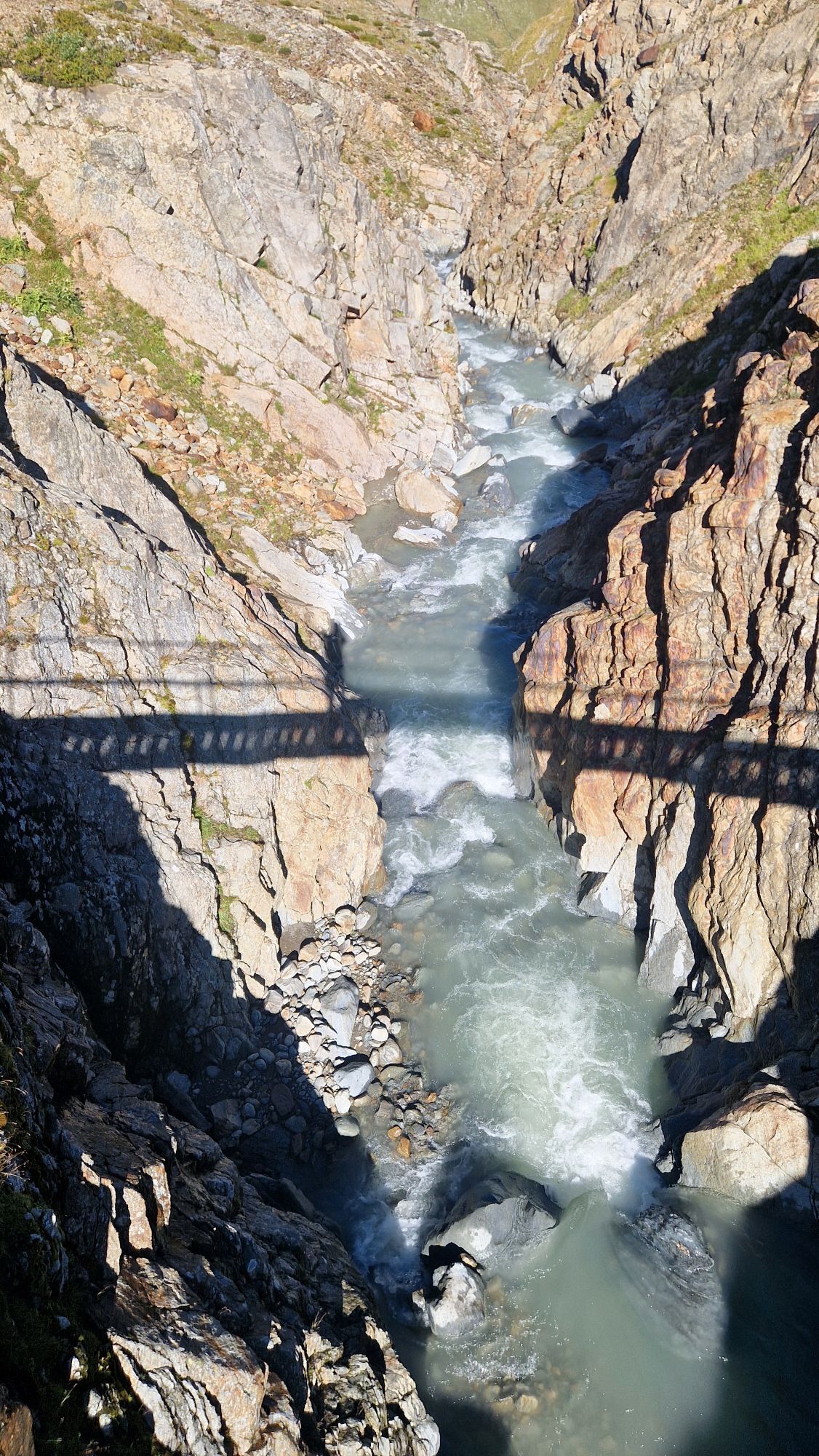
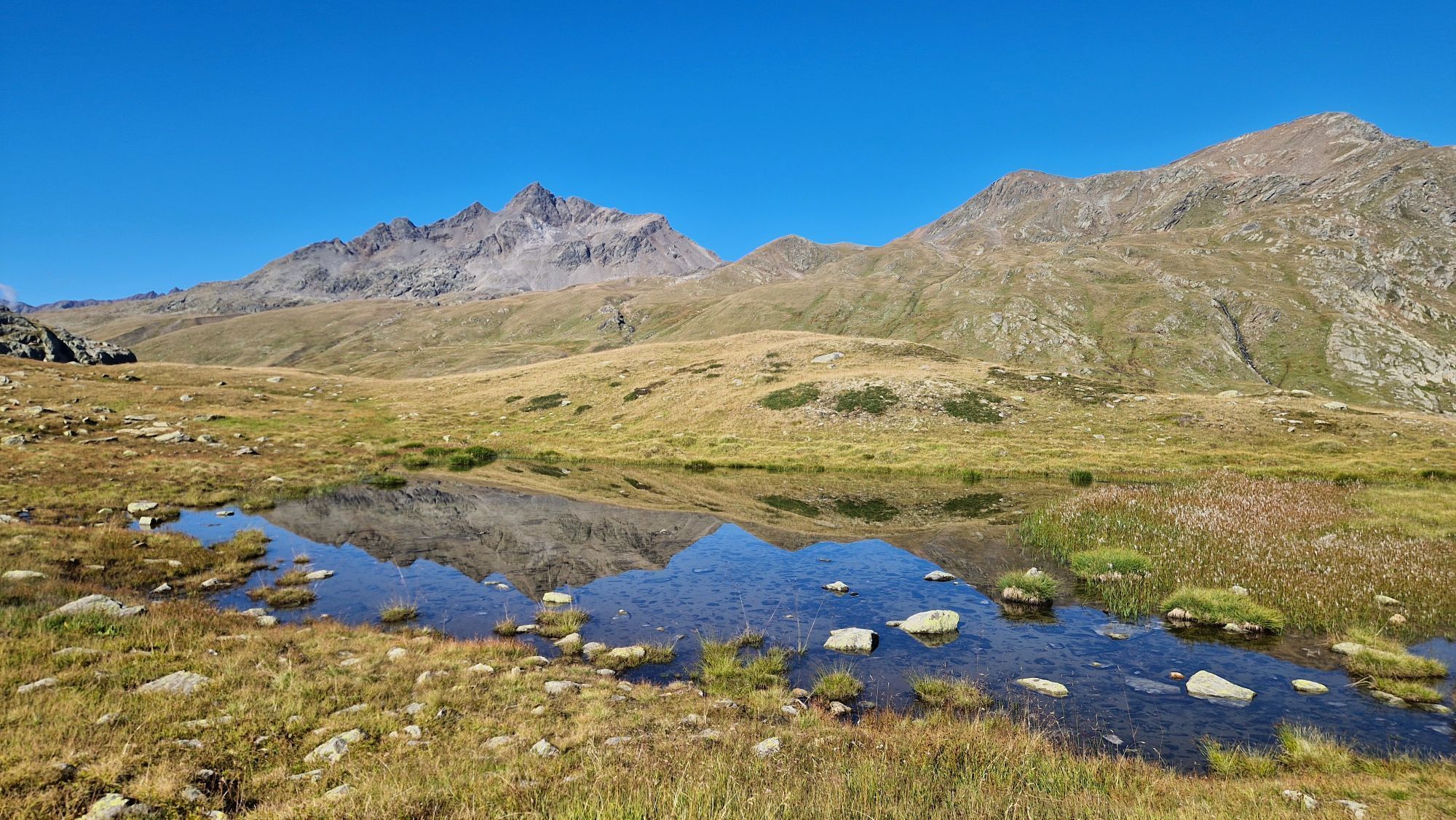
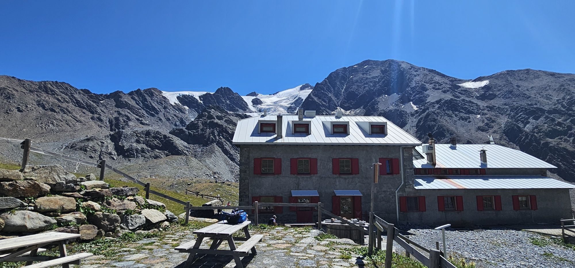
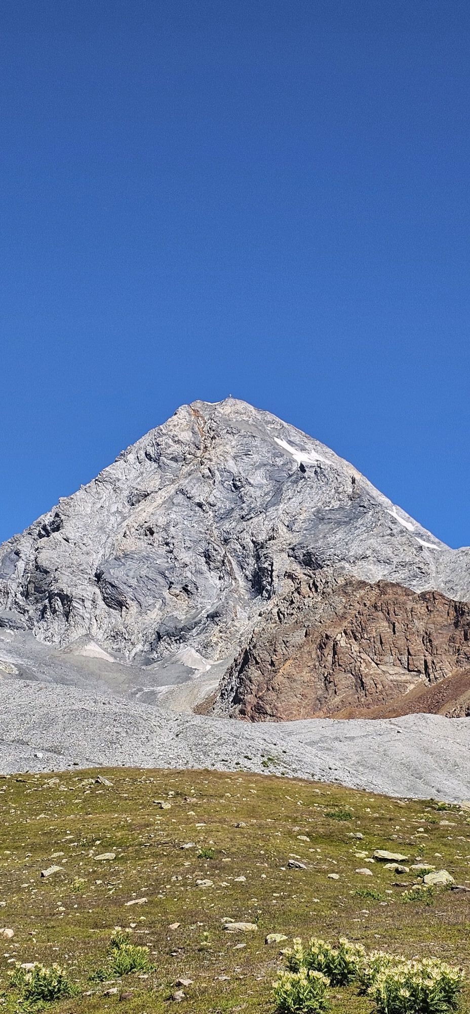
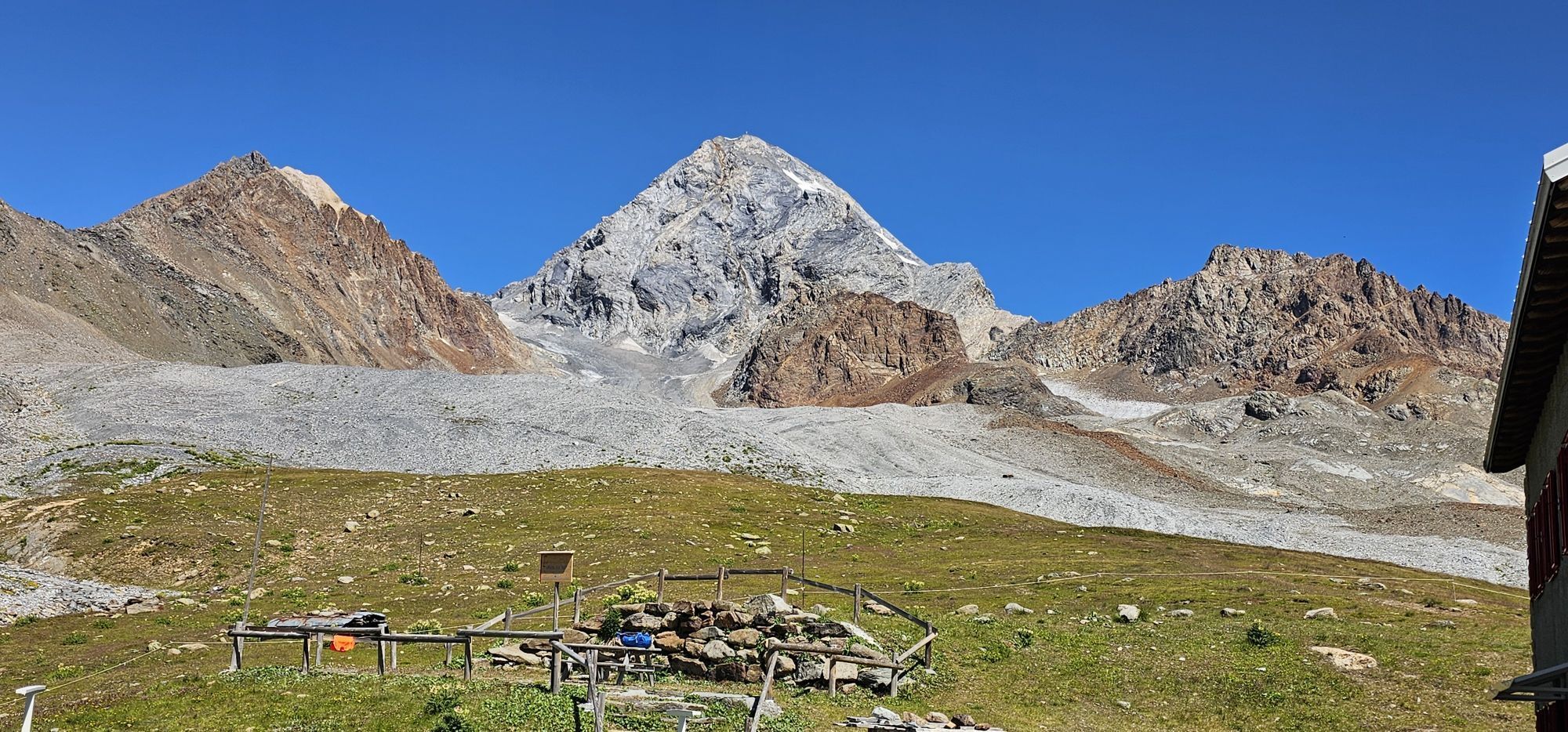
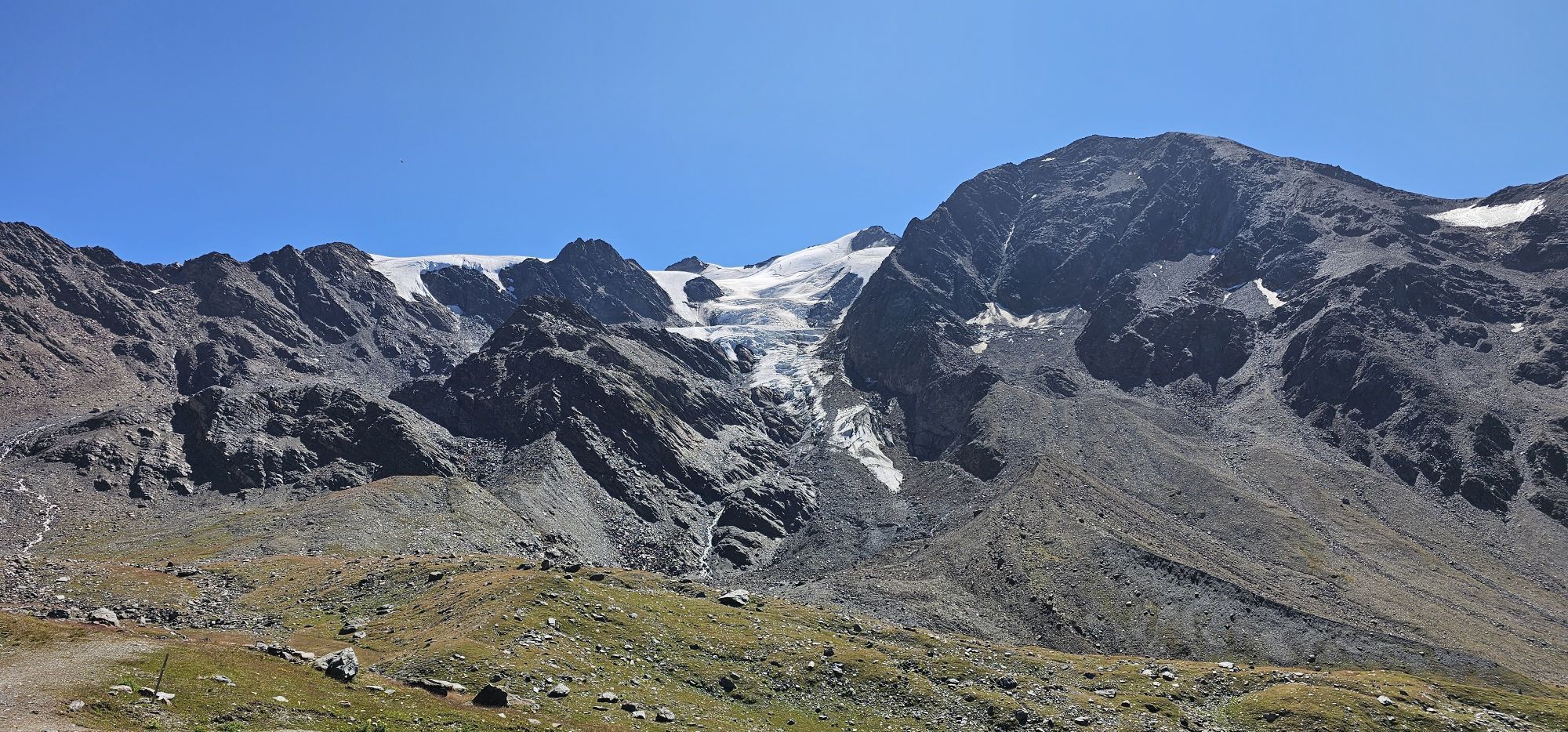
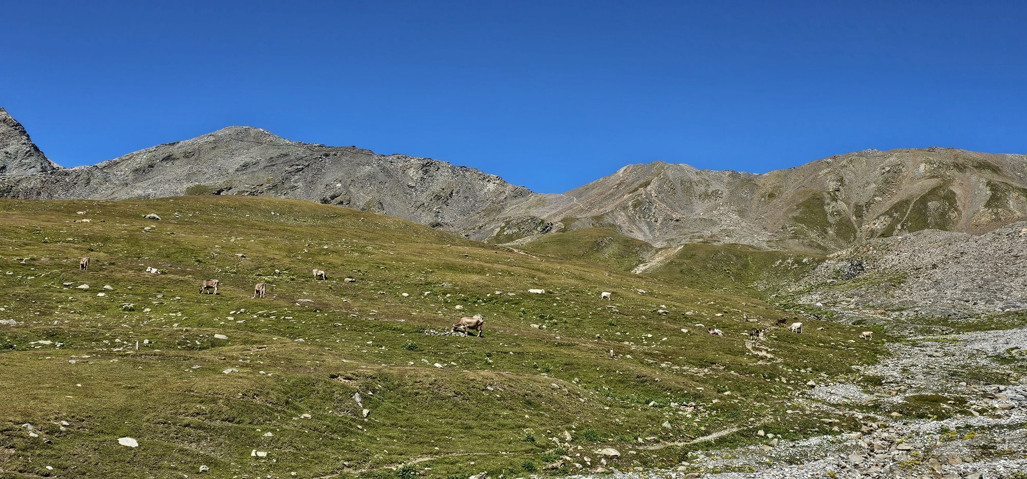
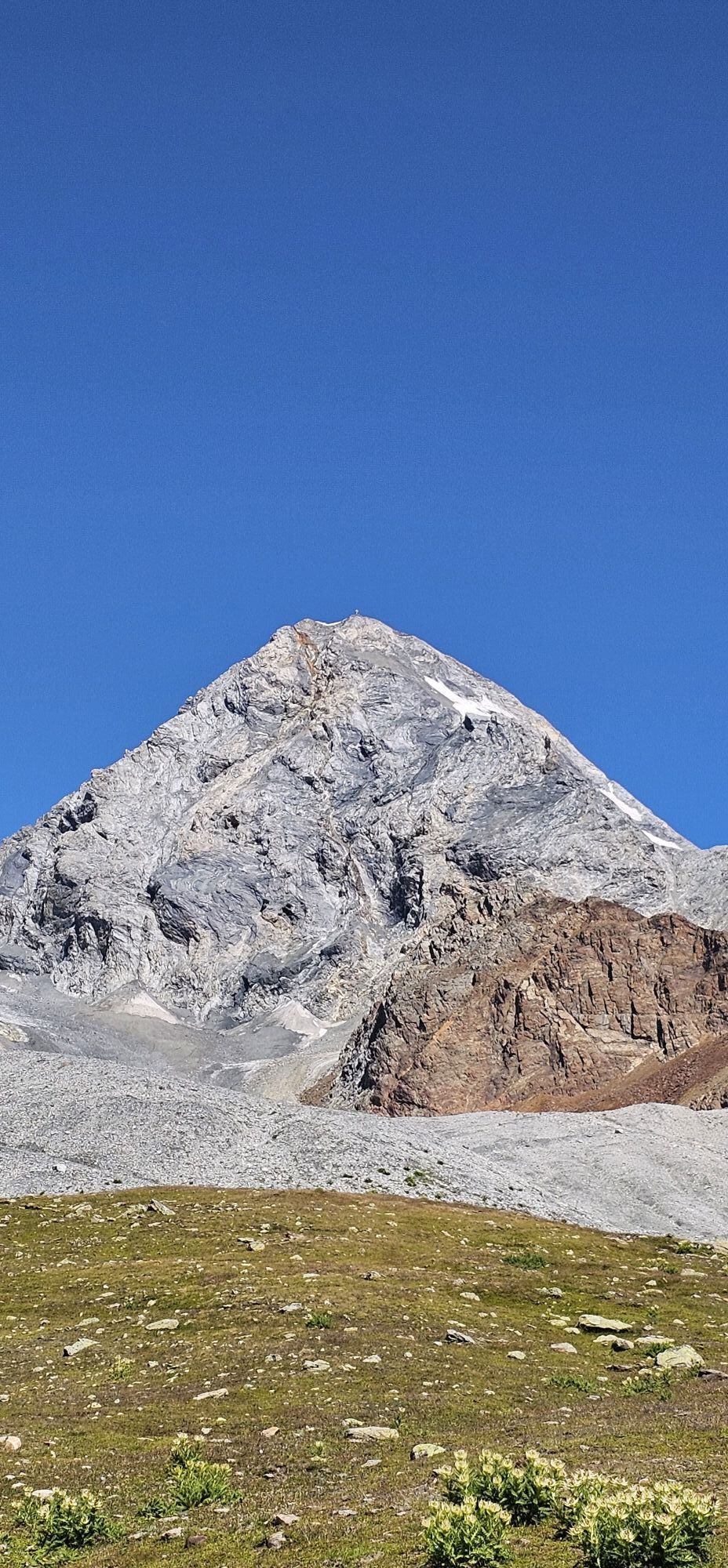
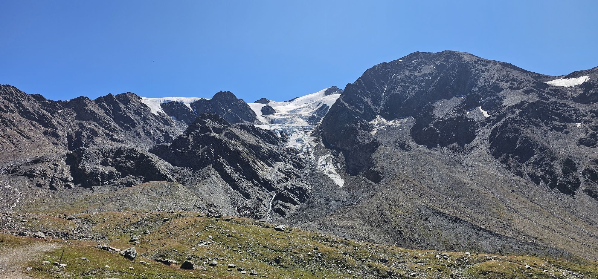
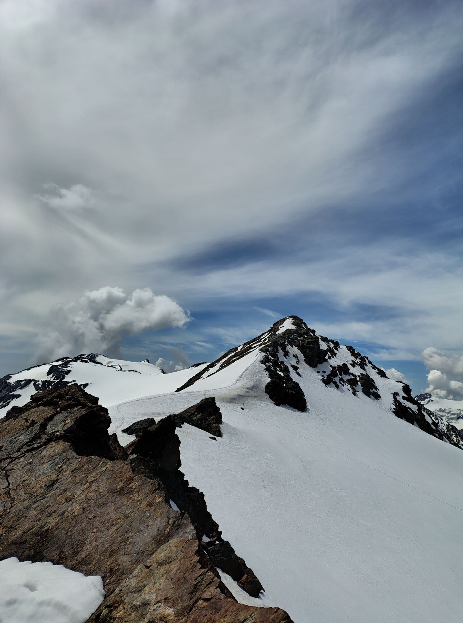


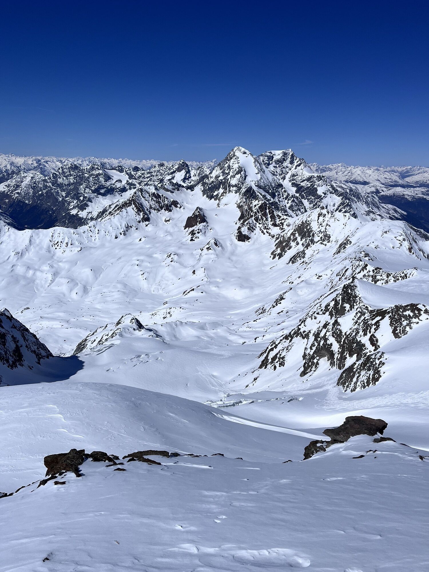
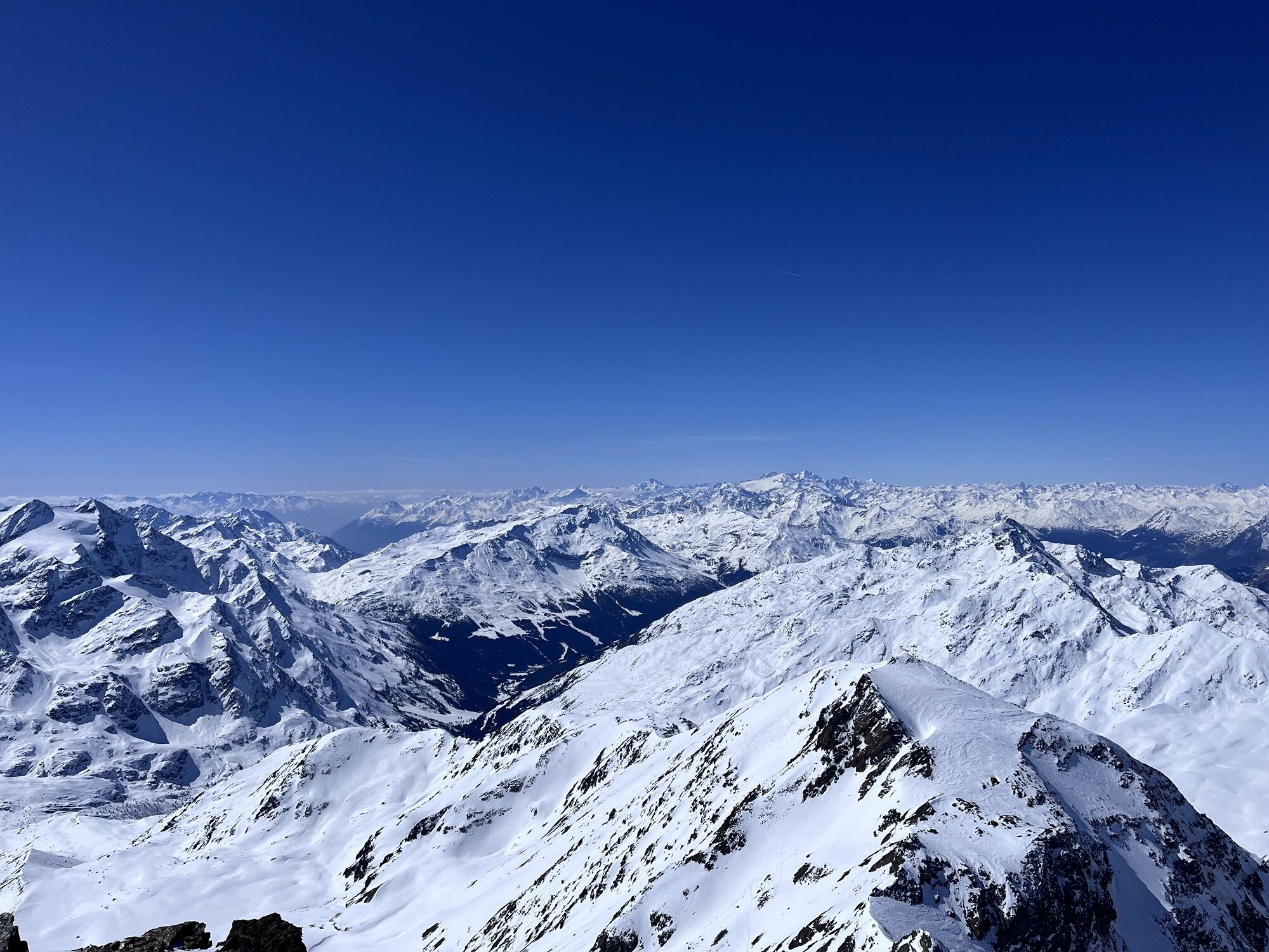
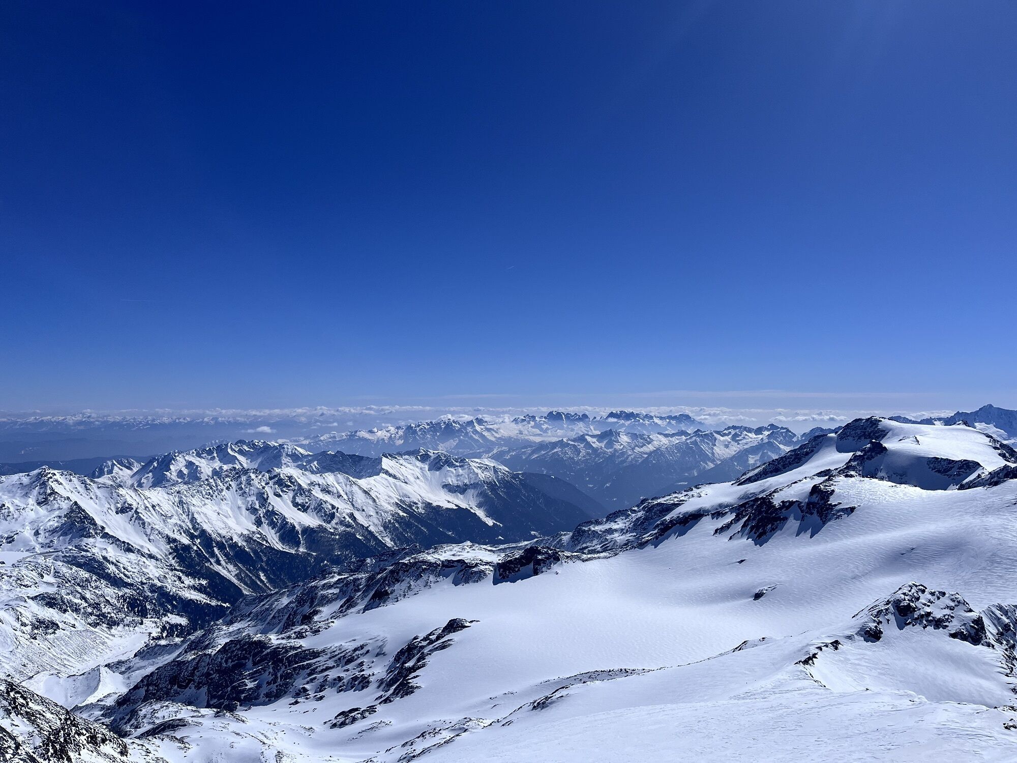
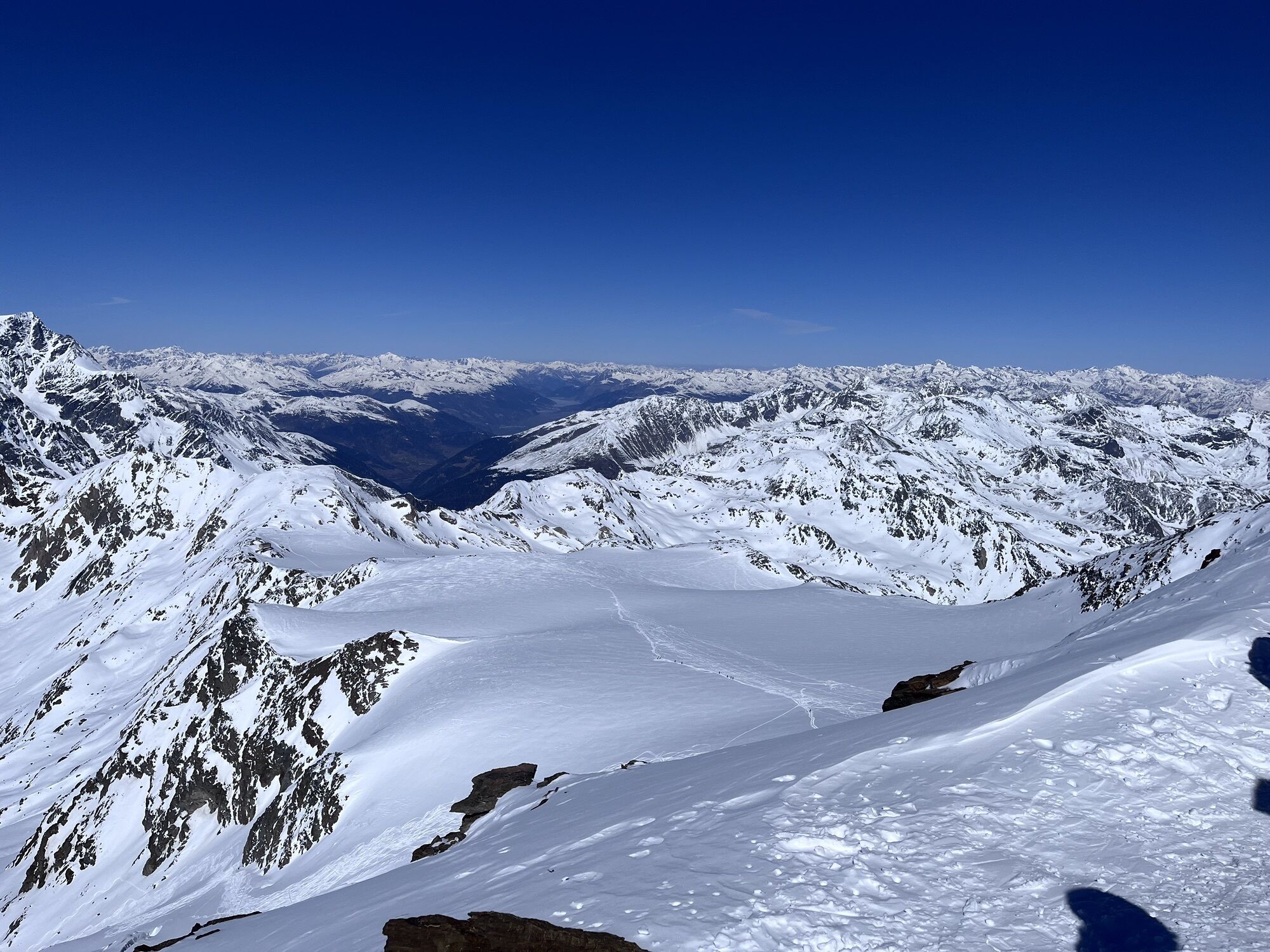
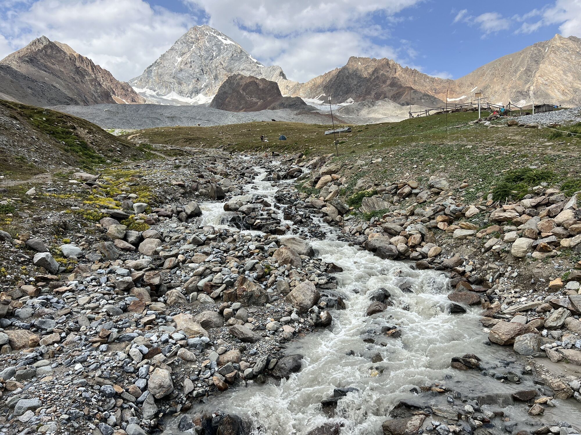
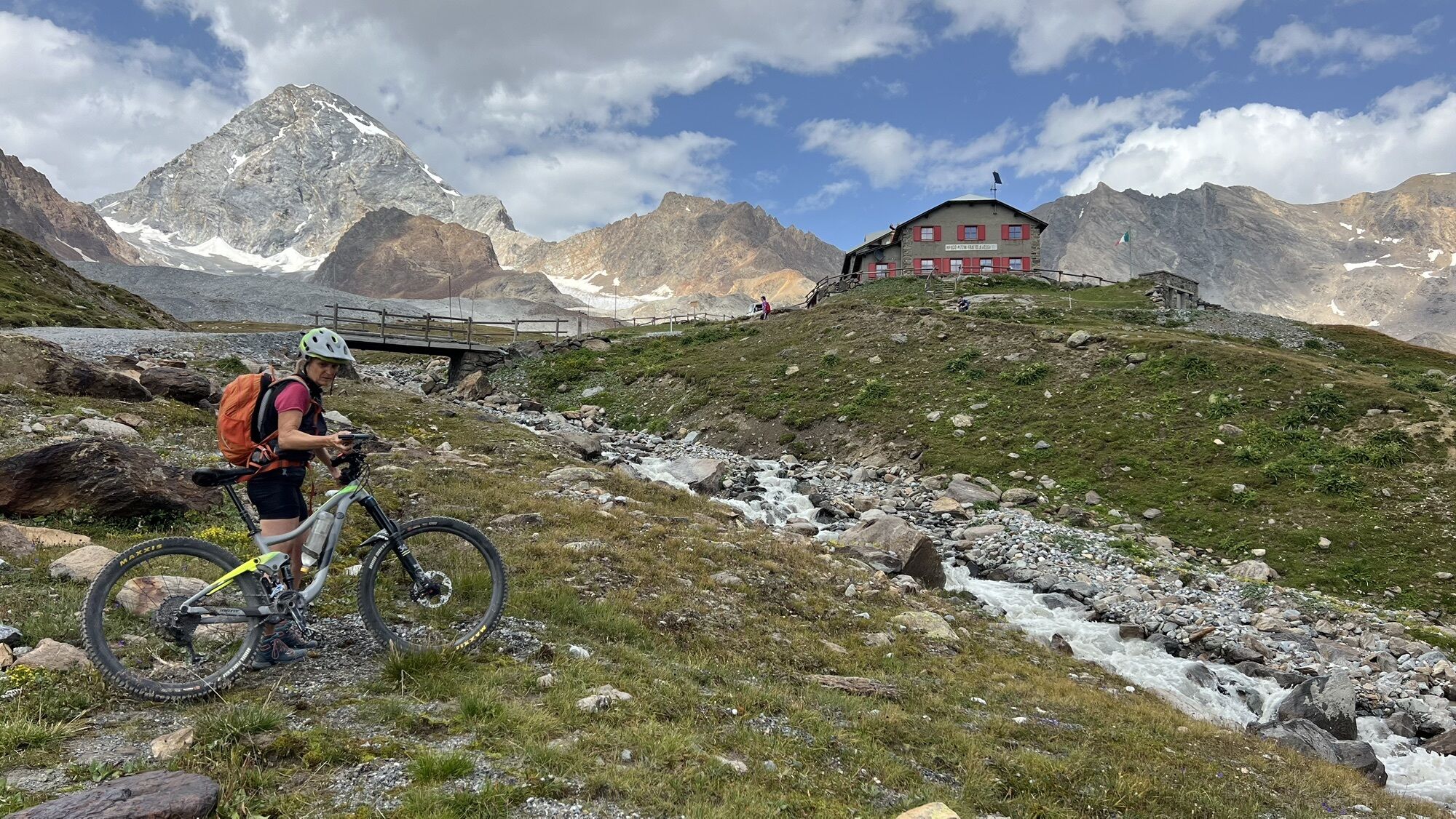

The Thirteen Peaks Traverse represents one of the most extraordinary experiences possible in the mountains of Upper Valtellina. Starting from Passo Gavia (or in the opposite direction from Forni), it is...
The Thirteen Peaks Traverse represents one of the most extraordinary experiences possible in the mountains of Upper Valtellina. Starting from Passo Gavia (or in the opposite direction from Forni), it is a long ride of over ten peaks above 3500 m, including Tresero, San Matteo, Vioz, and Cevedale, faithfully following the ridge lines. The itinerary, born as a classic alpine route, today is a combination of simple rocky ridges, snowy sections up to 45° and glacier crossings that provide a continuous and spectacular view of the Ortles-Cevedale massif.
Besides the landscape charm, the traverse holds a strong historical memory: along the way you find remains of Italian and Austrian barracks from the Great War, trenches and posts that testify to the extreme life at high altitude during the 1915-18 conflict.
The route can be divided into 2 or 3 days, utilizing several support points: Rifugio Berni, Forni, Vioz-Mantova, as well as bivouacs Seveso, Meneghello and Colombo, which offer Spartan but evocative solutions. Technically the difficulties do not exceed grade II except for two key passages: the small wall below Rocca di Santa Caterina (equipped with chain) and the descent from Punta Taviela, more tricky especially late in the season.
Fatigue, walking hours and high altitude make this traverse a true mountaineering adventure, suited for those who seek not only peak conquest but especially a total immersion into the nature and history of the Alps.



From Rifugio Berni passing by Bivacco Seveso (100 m below the summit of Tresero) or by the normal route, avoiding the exposed ridge. 3 h
South-west ridge to Tresero (3594 m), then to Punta Pedranzini (3599 m) and Cima Dosegù (3560 m).
Snowy, at times icy ridge, to San Matteo (3678 m), descent on glacier towards Colle degli Orsi (3304 m), with the new Bivacco Meneghello just above (3-4 h).
Ascent to Punta Cadini (3524 m), then ridge to Rocca di Santa Caterina (3529 m) (equipped passage) and continuation to Cima di Pejo (3549 m) and Punta Taviela (3612 m). Delicate descent to Col del Vioz (3330 m) and ascent to Monte Vioz (3645 m) with Rifugio Mantova/Vioz (6-7 h).
Descent to Passo della Vedretta Rossa (3405 m), ascent to Palon de la Mare (3703 m) and descent to Col de la Mare (3442 m) with Bivacco Colombo (9 beds).
Ridge of Cima del Rosole (3536 m), traverse to Passo del Rosole (3502 m) and ascent to Cevedale (3769 m), highest peak of the route.
Descent along the normal glacier route to Rifugio Casati (3269 m, 4-5 h) and then, by path and mule track, to the Forni parking lot (2 h).
Tak
High mountain equipment: helmet, harness, rope, crampons, and ice axe.
Layered clothing, gloves, and thermal hat.
GPS or map track, compass, and detailed map.
First aid kit and emergency bivouac material.
Energy food and water reserve.
Long and demanding itinerary: requires excellent training, mountaineering experience and the ability to progress roped on glacier.
Two technical passages to consider: small wall below Rocca di Santa Caterina (IV-, equipped) and descent from Punta Taviela (to be assessed based on conditions).
Numerous sections on crevassed glacier: rope, harness, and technical equipment essential.
Possibility of sudden bad weather and rapid changes in conditions: always check the weather and snow report.
Several exit options along the route, but all require orientation and knowledge of the slopes.
Rifugio A.Berni is located 2 km from Passo del Gavia at 2541 m, on the Valtellina side, in the Stelvio National Park. Easily reachable via provincial road no. 29 of Passo del Gavia. The refuge is dedicated to the memory of Captain of the Alpini Arnaldo Berni, fallen on S. Matteo during the First World War.
During the summer shuttle periods, it is possible to use the Gavia Express and the Forni Express to reach the starting point at Rifugio Berni, at Passo Gavia (2540 m), or the arrival point at the Forni parking lot – Rifugio Forni (2178 m). Both shuttles stop at Santa Caterina Valfurva: a strategic choice can therefore be to leave the car here and use the Gavia Express on the way up and the Forni Express on the way back.
Check shuttle schedules: www.bormio.ktips.it/it/trasporti/navette-estive
Unpaved parking near Rifugio Berni
T6
Recommended period: from late June to September, depending on snow and glacier conditions.
It is optimal to undertake the traverse with alpine guides, especially for less experienced groups.
Overnight stay recommended at huts or bivouacs to better manage time and strength.
Always check the opening status of huts and availability of beds.
The itinerary passes through fragile and delicate high-altitude areas: respect for the environment and minimizing impact are essential.
Divide the route into at least two days to fully enjoy the beauty of the path and better manage fatigue.
Carefully consider the direction: from Passo Gavia to Forni the elevation difference is more balanced, but the reverse direction is also doable.
Do not underestimate the charm of the bivouacs: sleeping at Colombo or Meneghello is an experience that amplifies the magic of the traverse.
Take into account the glacier conditions, which can vary significantly from early to late season.
Usually done in two full days starting from Passo di Gavia or, in the opposite direction, from rif. Pizzini with overnight at rif. Mantova al Vioz or in bivouacs along the route. The entire itinerary can be completed in both directions and features several support points, variations, and intermediate escape routes.
Kamery internetowe z trasy
-
Pejo 3000 - Kinderland
-
Santa Caterina - Valfurva Sunnyvalley
-
Pejo - Pejo 3000
-
Santa Caterina - Valfurva Plaghera
-
Langenferner
-
Pejo - Seroden
-
Madritsch Sulden
-
Pejo - Tarlenta
-
Centro Sci Fondo
-
Centro Sci Fondo
-
Centro Sci Fondo
-
Centro Sci Fondo
-
Centro Sci Fondo
-
I Forni
-
I Forni
-
I Forni
-
I Forni
-
Pejo - Pejo 3000
-
Pejo - Pejo 3000
-
Pejo - Pejo 3000
-
Pejo - Tarlenta
-
Pejo - Tarlenta
-
Pejo - Tarlenta
-
Pejo - Tarlenta
-
Sulden - Madritsch Sessellift
-
I Forni

Popularne wycieczki w okolicy
-
4,5
Martellerhütte Höhenweg
średniWycieczka wysokogórska 8,70 km -
5,0
Martell-Tal Rundweg zur Marteller Hütte
światłoWędrówka 10,8 km -
4,9
Plimaschlucht
światłoWycieczki górskie 7,23 km -
3,9
Von Sulden zur Hinteren Schöntaufspitze
średniWędrówka 12,7 km -
4,3
Obervinschgau - Madritschjoch, der höchste Transalp Übergang
Mountainbike 9,54 km -
5,0
Ortler über Meraner Weg (vom Tal/Trafoi)
ciężkiWycieczka wysokogórska 11,9 km -
4,6
Stilfs - Stelvio - Madritschspitze - Cima Madriccio
ciężkiWędrówka 16,3 km -
4,5
Ortler – Normalweg
ciężkiWycieczka wysokogórska 7,30 km -
5,0
Ortler über Hintergrat
ciężkiWycieczka wysokogórska 8,03 km -
4,7
Suldenspitze
światłoWycieczka wysokogórska 7,69 km
Wędrówki i tropienie


Nie przegap ofert i inspiracji na następne wakacje
Twój adres e-mail została dodana do listy mailingowej.


