







Bormio 360 Trekking - Stage 7 - Rhododendron path
Poziom trudności: T1
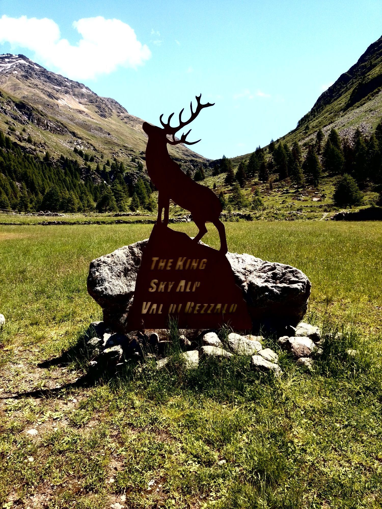
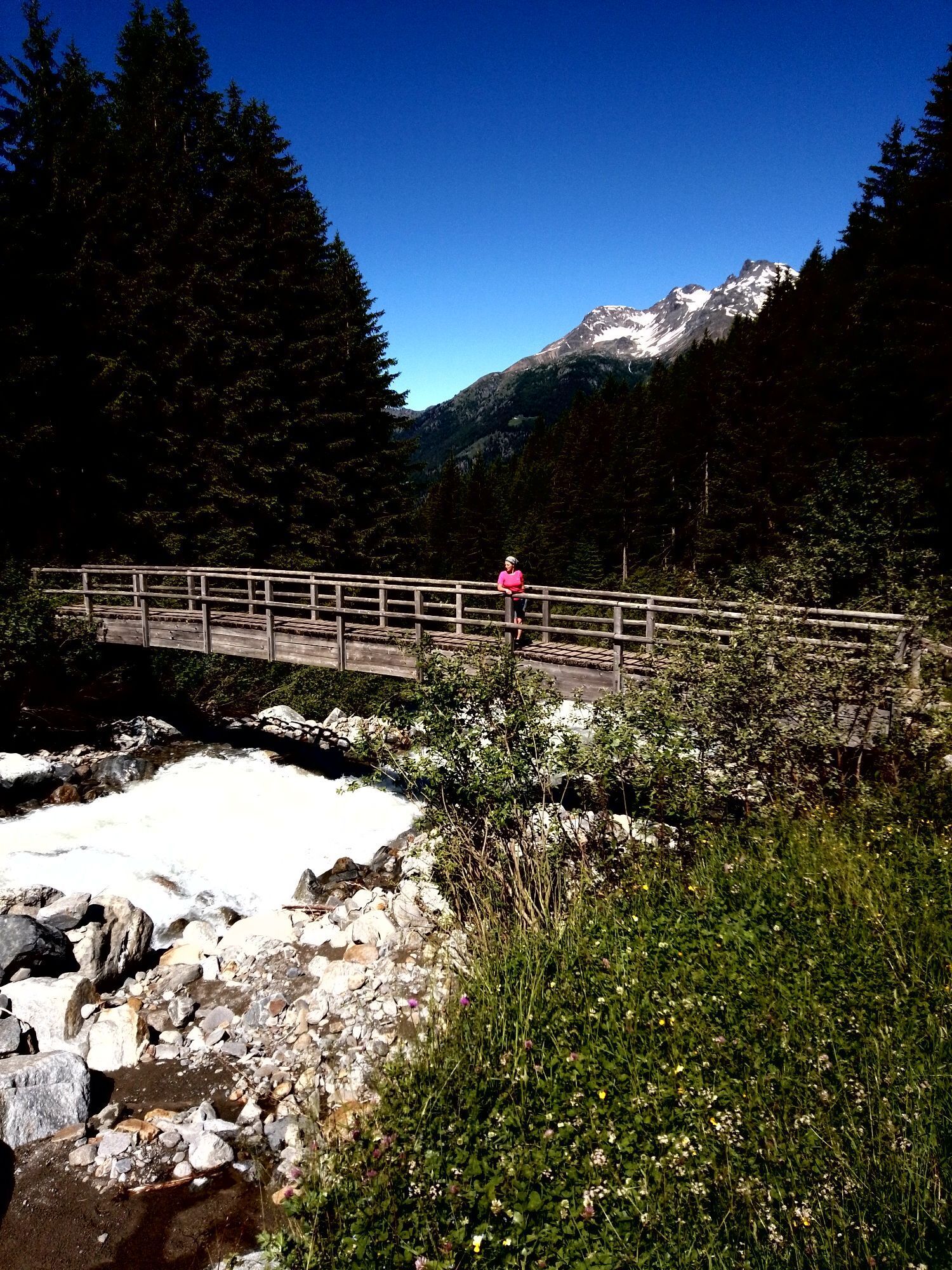
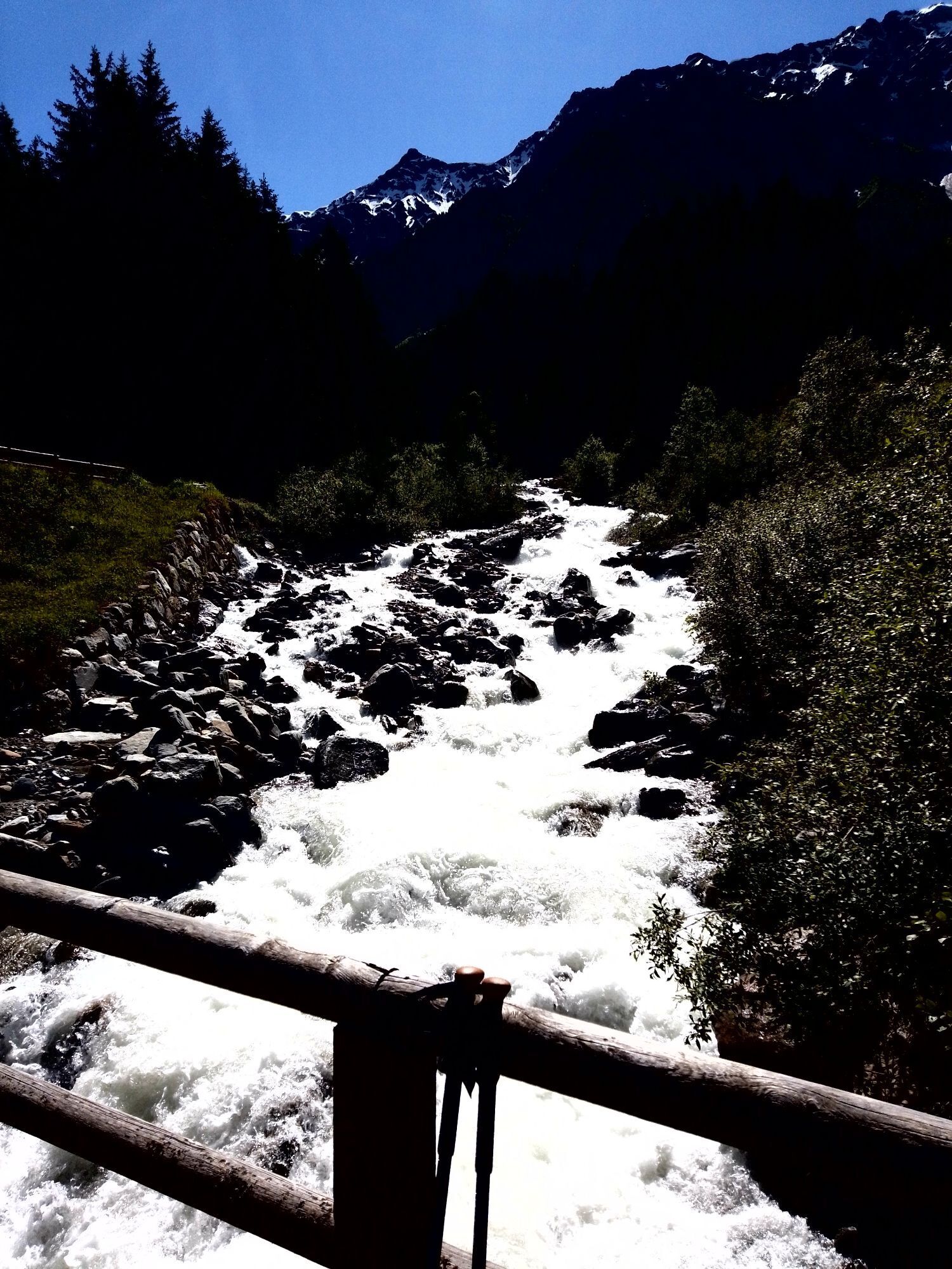
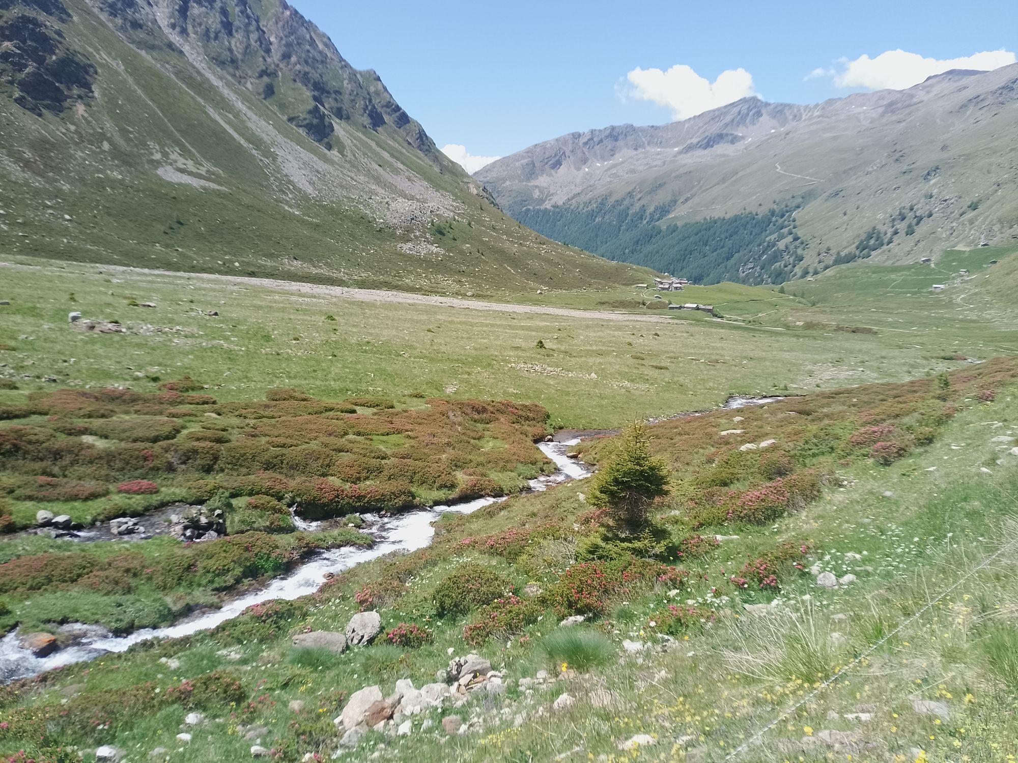
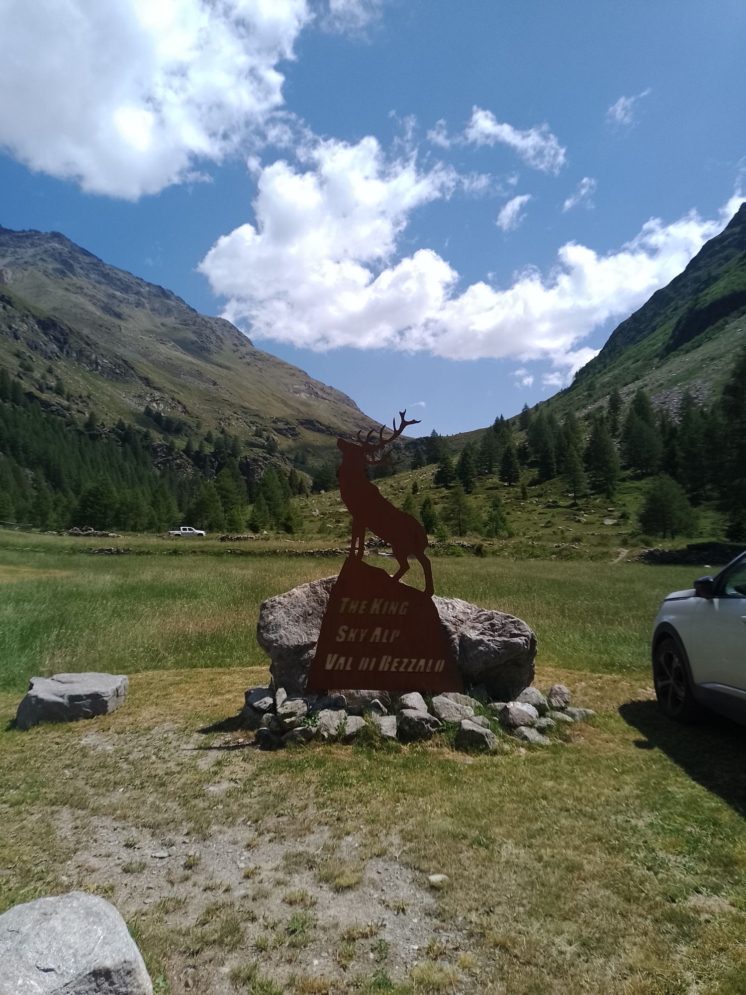
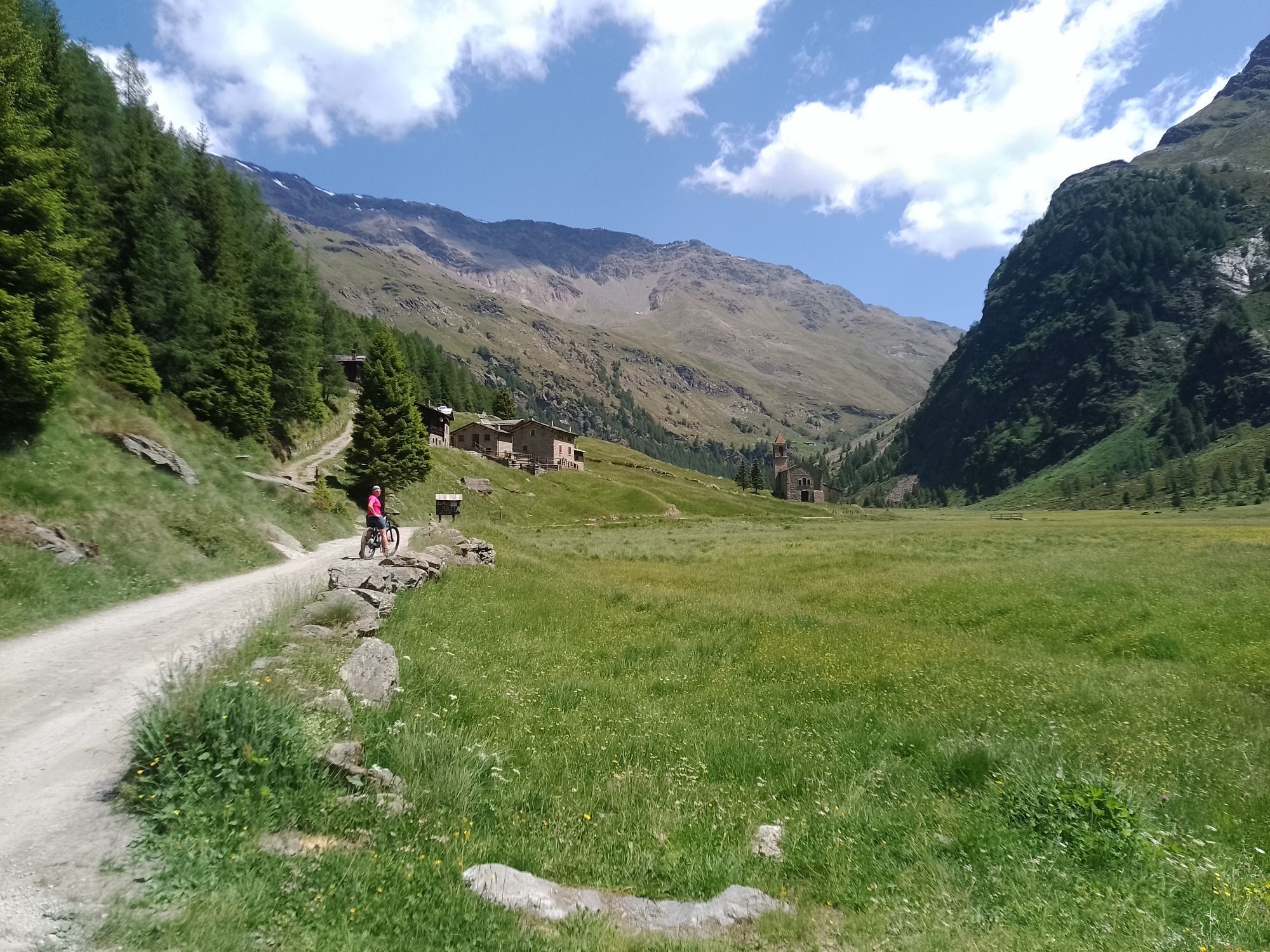
The stage is of medium difficulty, 12.6 km long, and starts from the Fontanaccia parking lot, at the entrance of the Val di Rezzalo, above the village of Frontale in Sondalo. Initially, the route ascends...
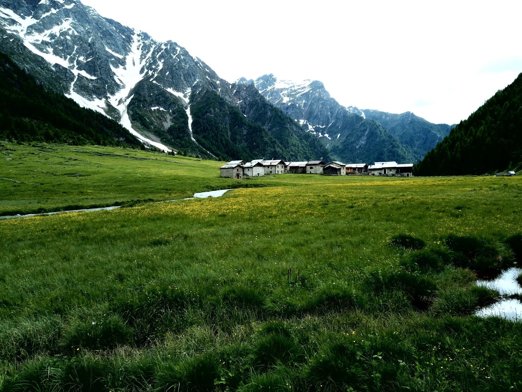
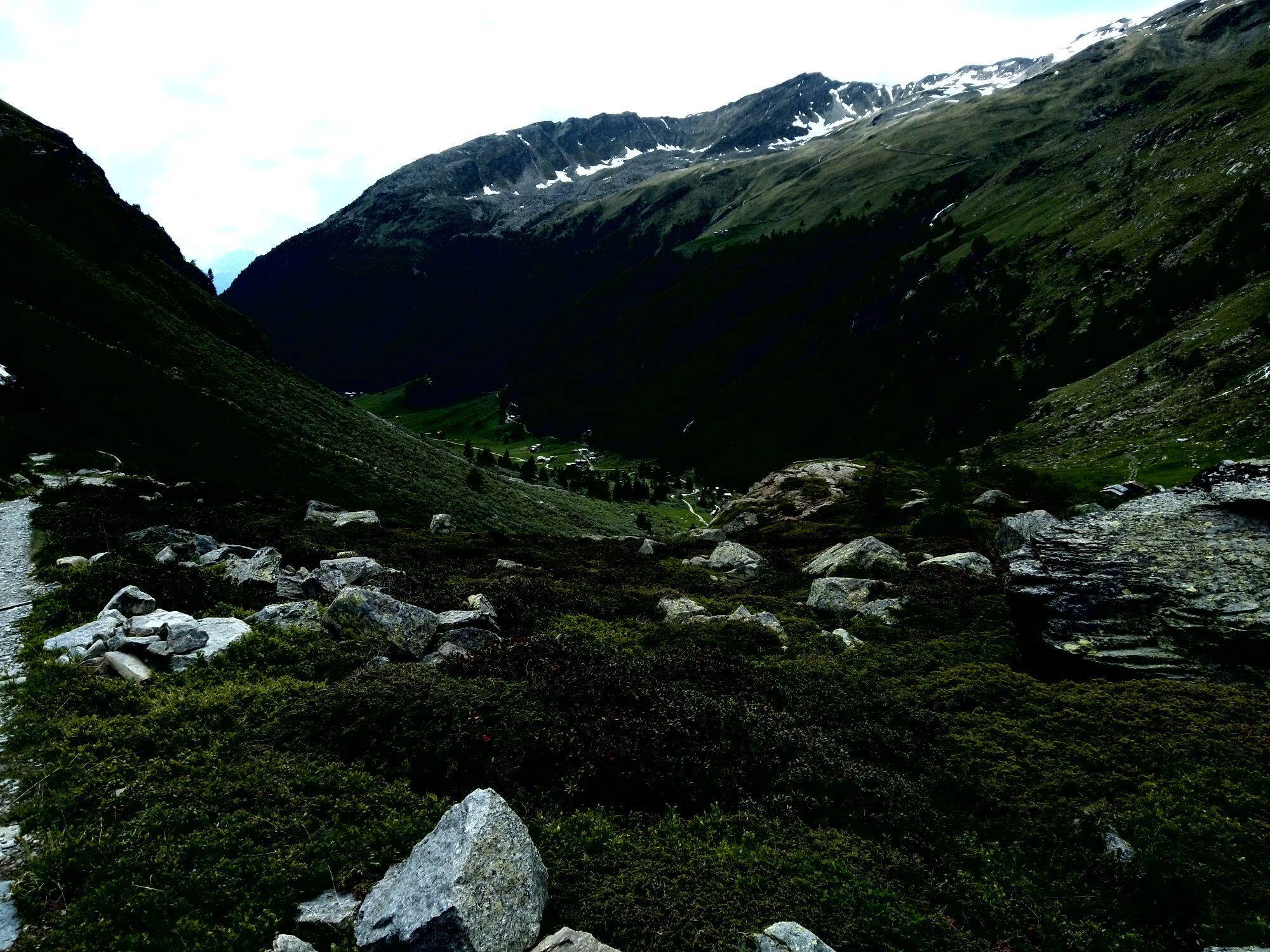
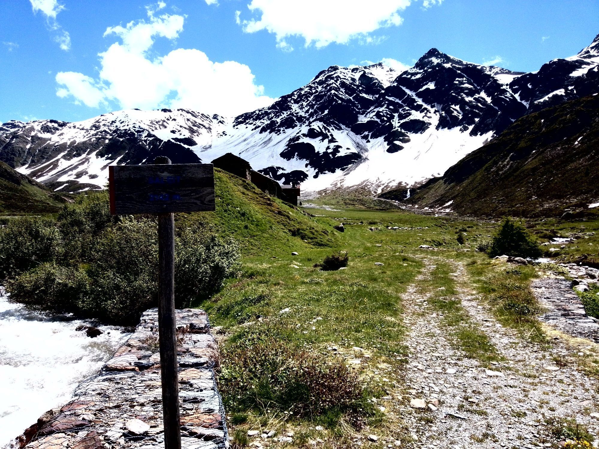
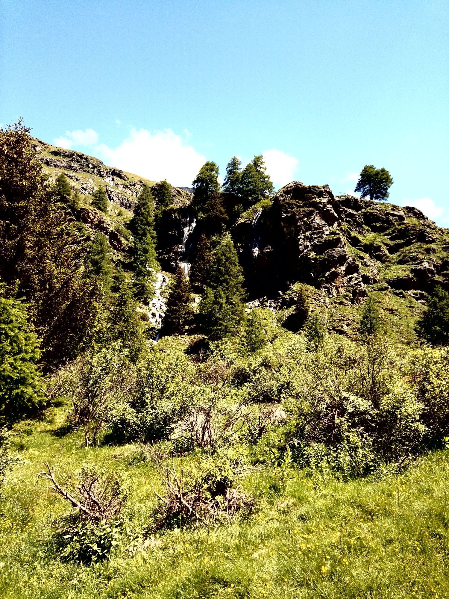
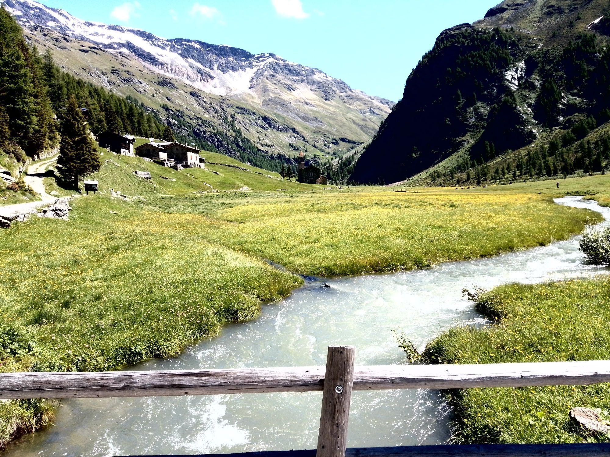
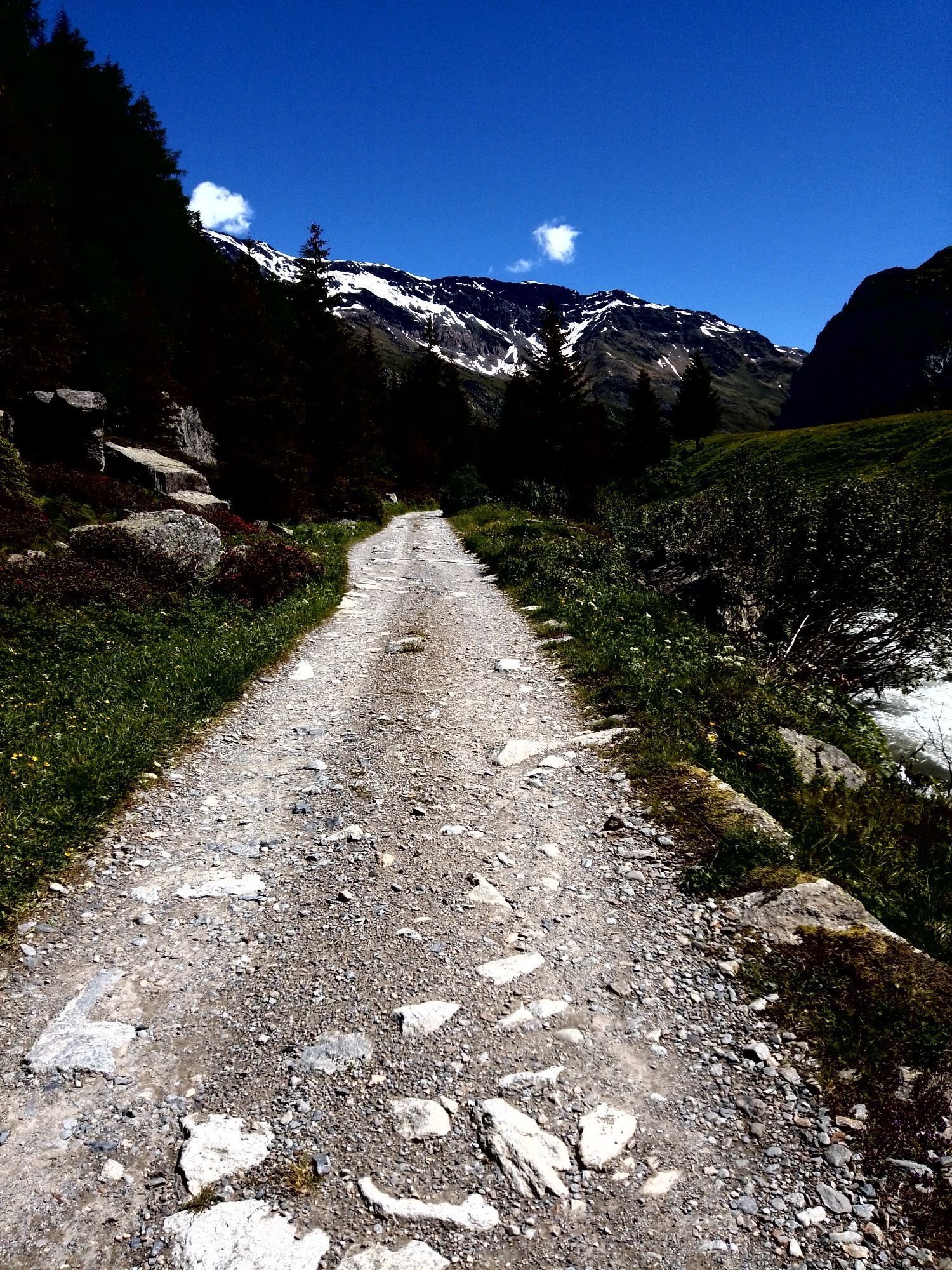
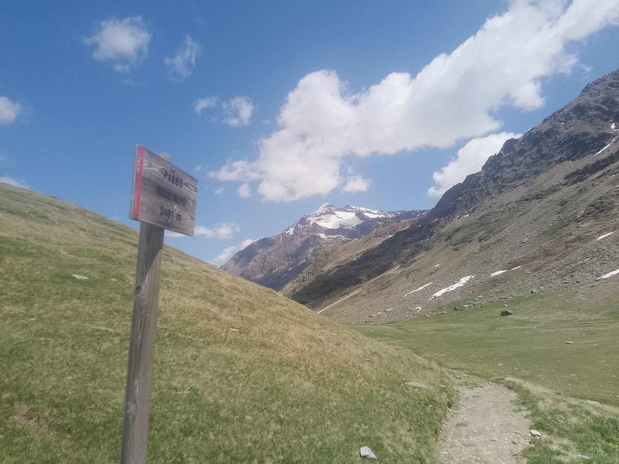
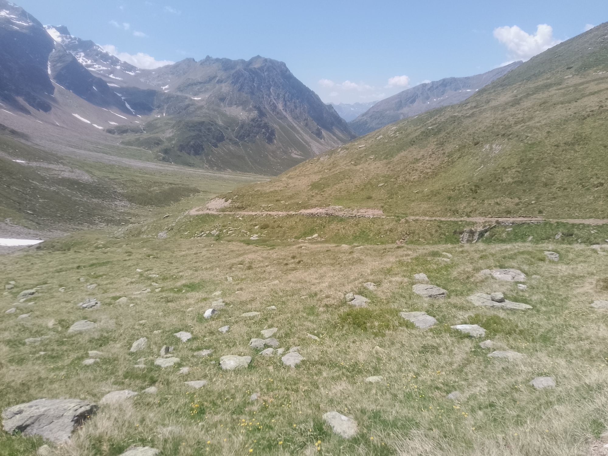
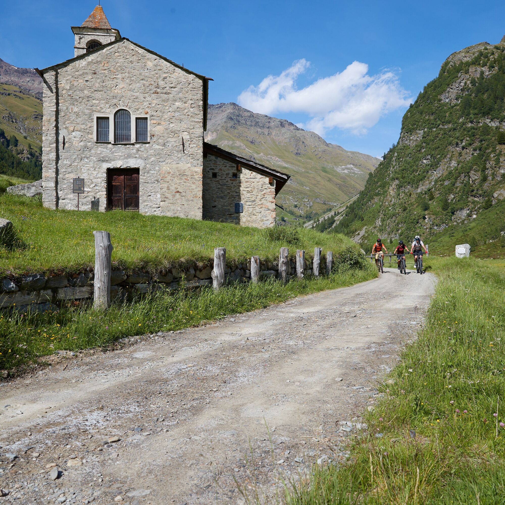
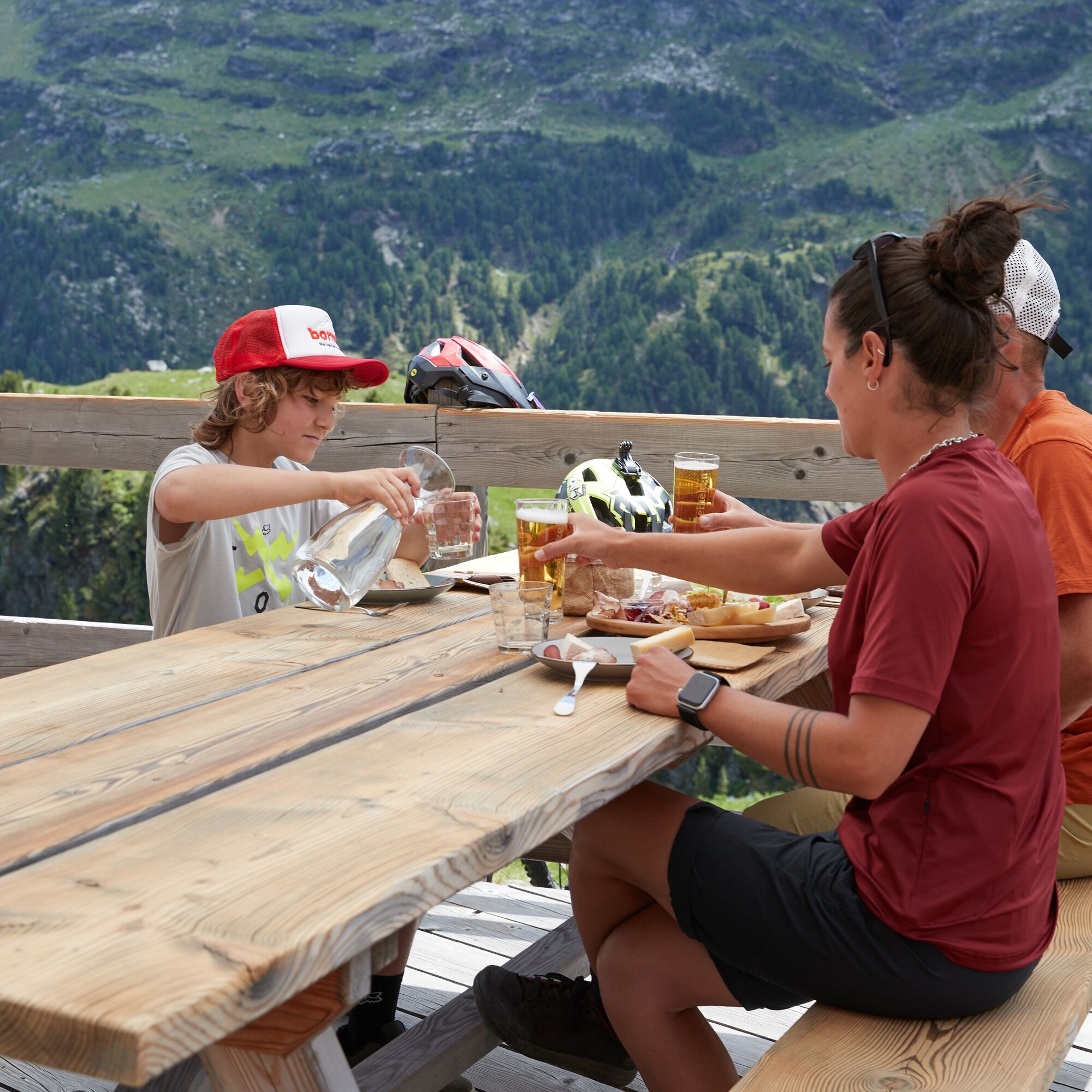
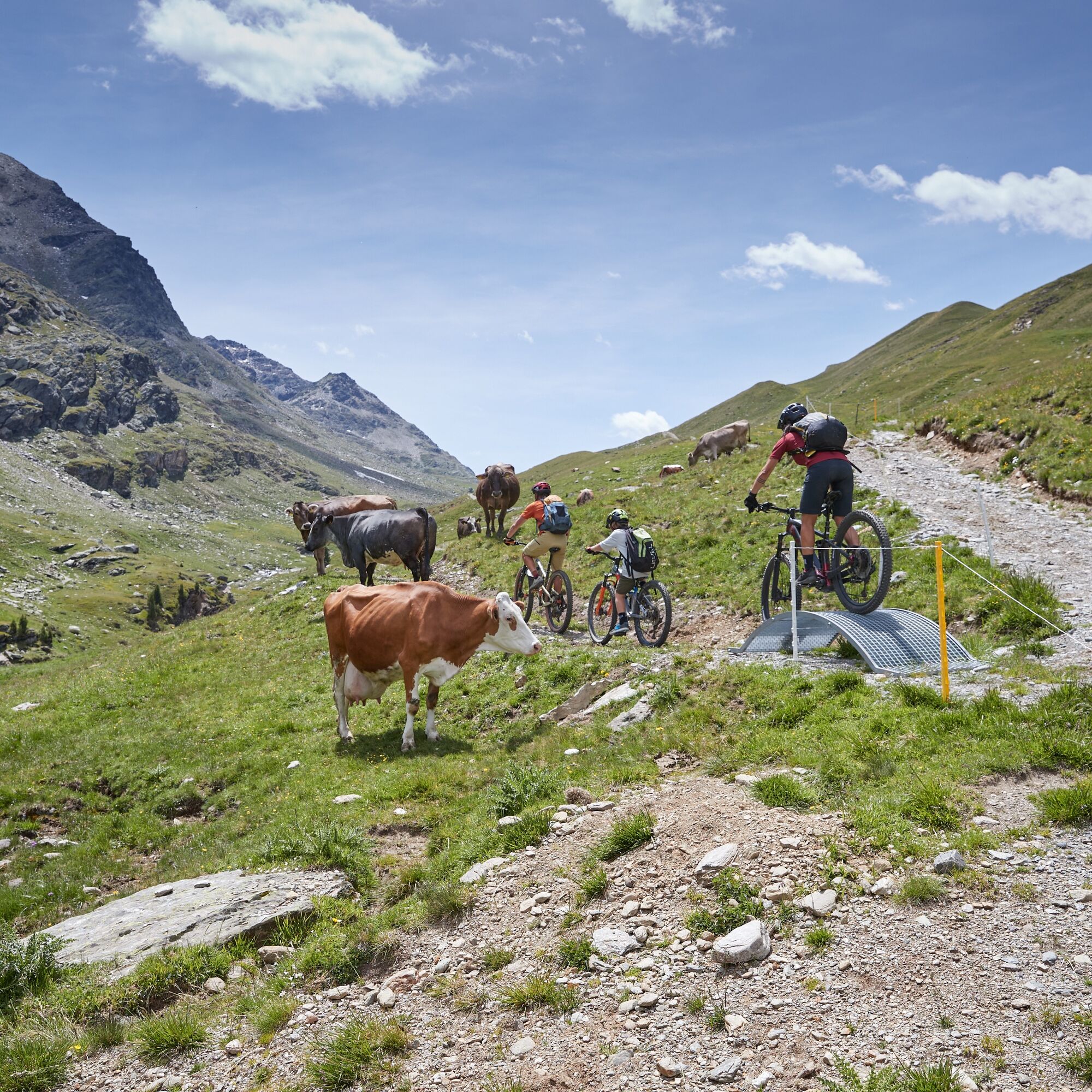
The stage is of medium difficulty, 12.6 km long, and starts from the Fontanaccia parking lot, at the entrance of the Val di Rezzalo, above the village of Frontale in Sondalo. Initially, the route ascends through the forest to reach the characteristic Baite Pontela, then continues on the recently restored S519 trail to the locality Teat, and then takes up the dirt road that crosses the suggestive Val di Rezzalo leading to the locality San Bernardo. After the namesake little church, it is possible to stop at the Rifugio la Baita or along the route you can find two picnic areas. The path continues to the panoramic terrace of Clevio, overlooking the Val di Rezzalo. Here begins the military mule track that reaches the Passo dell’Alpe at 2462 m, the highest point of the itinerary, and then descends to the Malga dell’Alpe where it is possible to eat or stay overnight.

T1
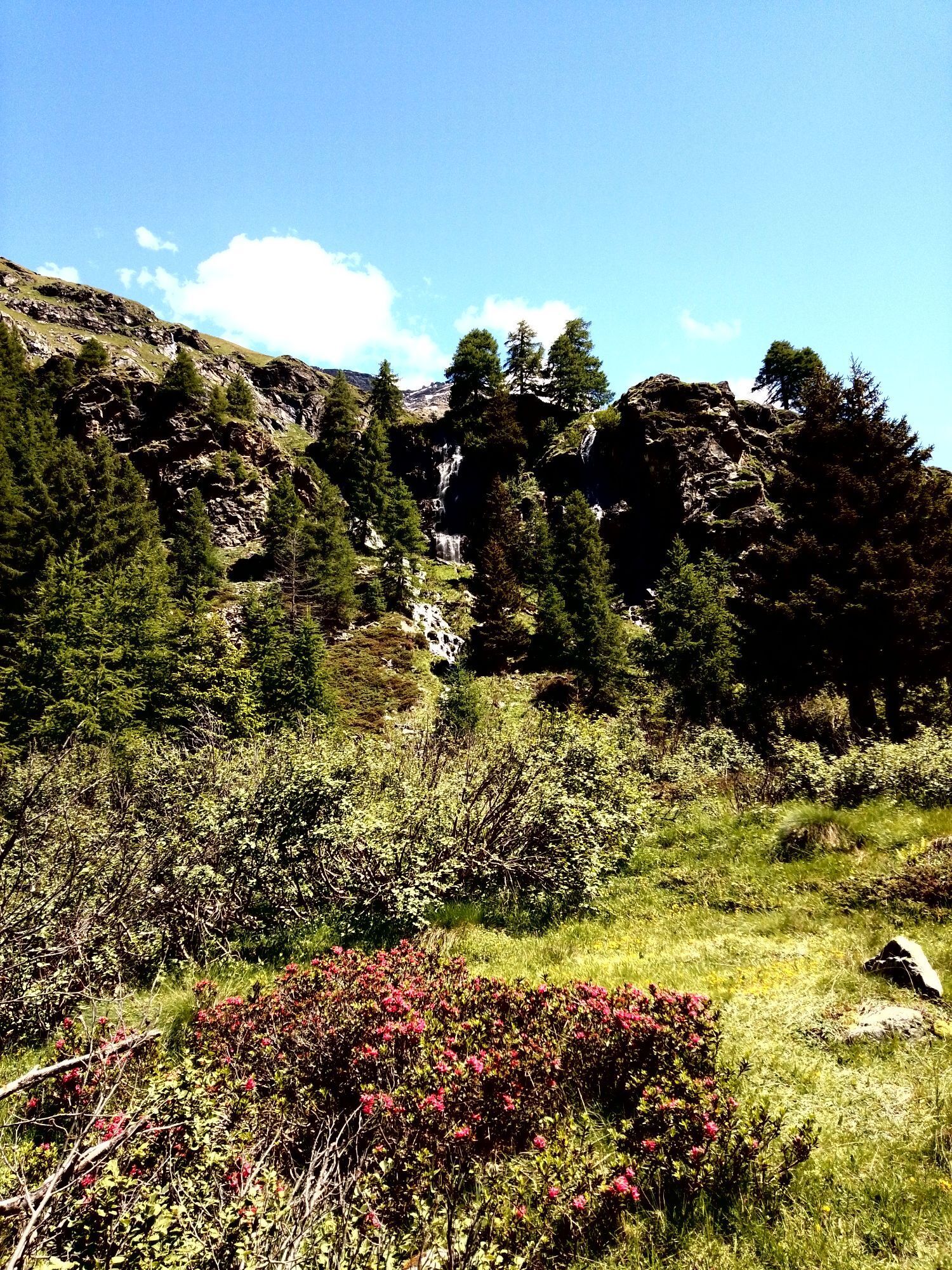
In particular, in the S. Bernardo plain, where the picturesque little church stands, the rhododendron bloom offers the traveler a spectacular sight.
The flowers are especially sought after by bees and since ancient times the appreciated honey has been produced from them; the leaves, on the other hand, are used for infusions, decoctions, and poultices.
Uzyskaj wgląd
Zawsze na żywo z ponad 9 500 kamer internetowych. bergfex Jako użytkownik Pro, możesz teraz zobaczyć odpowiednie kamery internetowe dla wielu wycieczek w aplikacji wycieczki od. Pozwala to na bezpośredni podgląd aktualnych warunków.
Popularne wycieczki w okolicy
-
4,0
Ortler Höhenweg
ciężkiWycieczka wysokogórska 123,2 km -
5,0
Rifugio Doss dei Cembri / Doss dei Gembri - Punta Linke - Monte Vioz - Rifugio Mantova al Vioz
ciężkiWycieczka wysokogórska 11,8 km -
Mount Cevedale
ciężkiWycieczka narciarska 9,51 km -
Great Zebru'
średniWycieczka narciarska 8,32 km -
3,0
Transalp: St. Anton/ Arlberg nach Riva
ciężkiMountainbike 277,3 km -
5,0
Palon de la Mare
średniWycieczka narciarska 8,24 km -
Stelvio Epic Rides: Passo Gavia
ciężkiDroga rowerowa 25,8 km -
5,0
On the slopes of the Reit to admire Bormio from above
średniWędrówka 10,4 km -
Punta San Matteo - from the Forni
średniWycieczka narciarska 7,44 km -
4,0
Adamello - Val Grande - Biwak
średniE-MTB 22,8 km

Wędrówki i tropienie


Nie przegap ofert i inspiracji na następne wakacje
Twój adres e-mail została dodana do listy mailingowej.





